
Mt Isobel, Canterbury, New Zealand

MT ISOBEL
North Canterbury
Location:
North Canterbury
Said to be “Canterbury’s most climbed mountain”. There are four different approaches, all with differing length and difficulty. For this trip, I used the ‘Waterfall Trail’.
Time:
4.5 hours return.
3 hours up, 1.5 hours down. With dog, photos and a little detour to the waterfall.
Difficulty.
Hard.
Dogs:
Under effective control
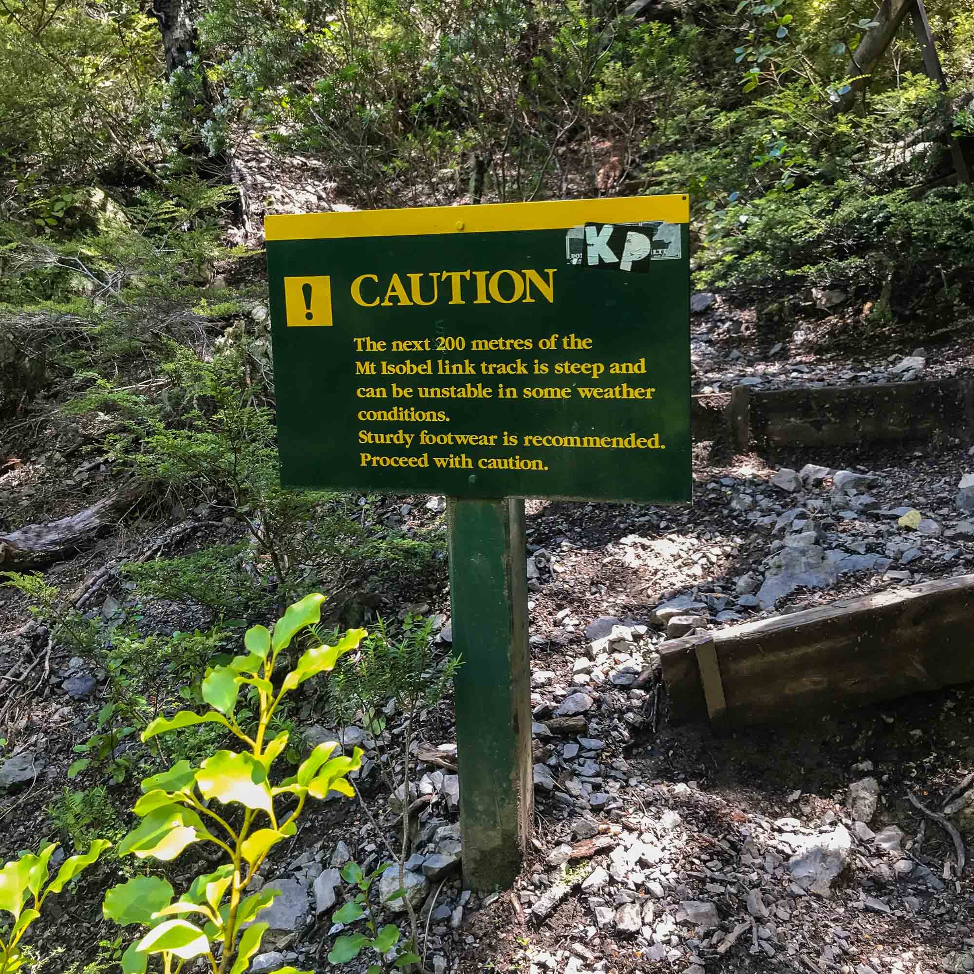
This can be quite a tricky one, depending on which route you choose.
The Jacks Pass route seemed quite short and direct, the waterfall track definitely longer and gnarly in spots after the waterfall.
The pictures included actually come from three different trips.
1). Charlie at the summit - hiked on the hottest day of 2021 at the time, with my friend, Dave.
2). Waterfall and trail imagery was from a hike with my wife in 2020 - but she called it quits about 80% of the way up and refused to go any further.
3). Moody imagery was from a shoot with Montane and legendary explorer Jenny Tough in 2019 (just to show a different feel).
Plenty easy to follow this track, obvious and well marked. We did it from Christchurch, but could definitely do it by staying in Hanmer Springs, then end the day with a few cold ones in town followed by a soak in the pools. That’d be the way to do it.
Enjoy the usual mix of iPhone images (whilst walking) and proper camera snaps from the top.
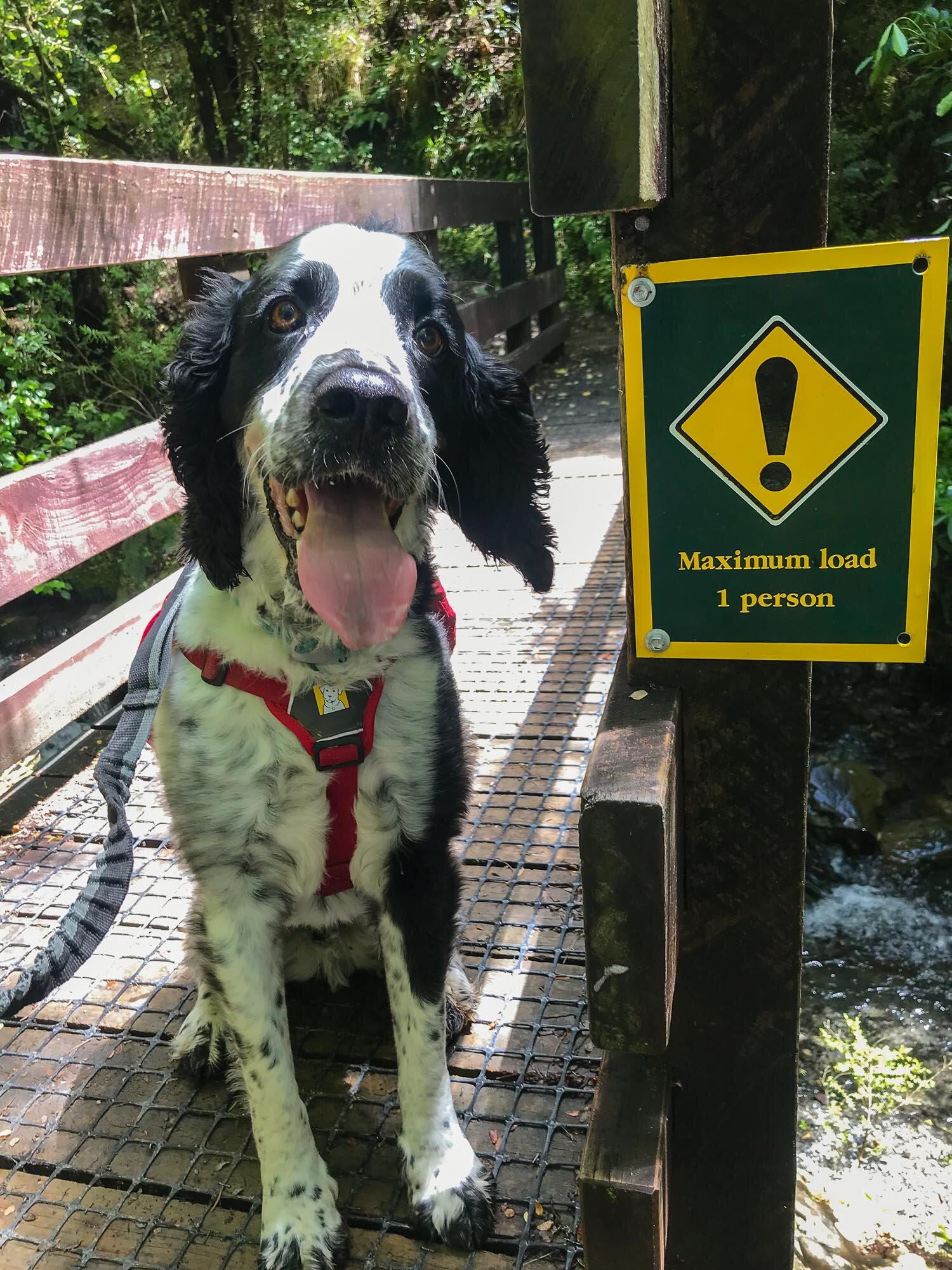
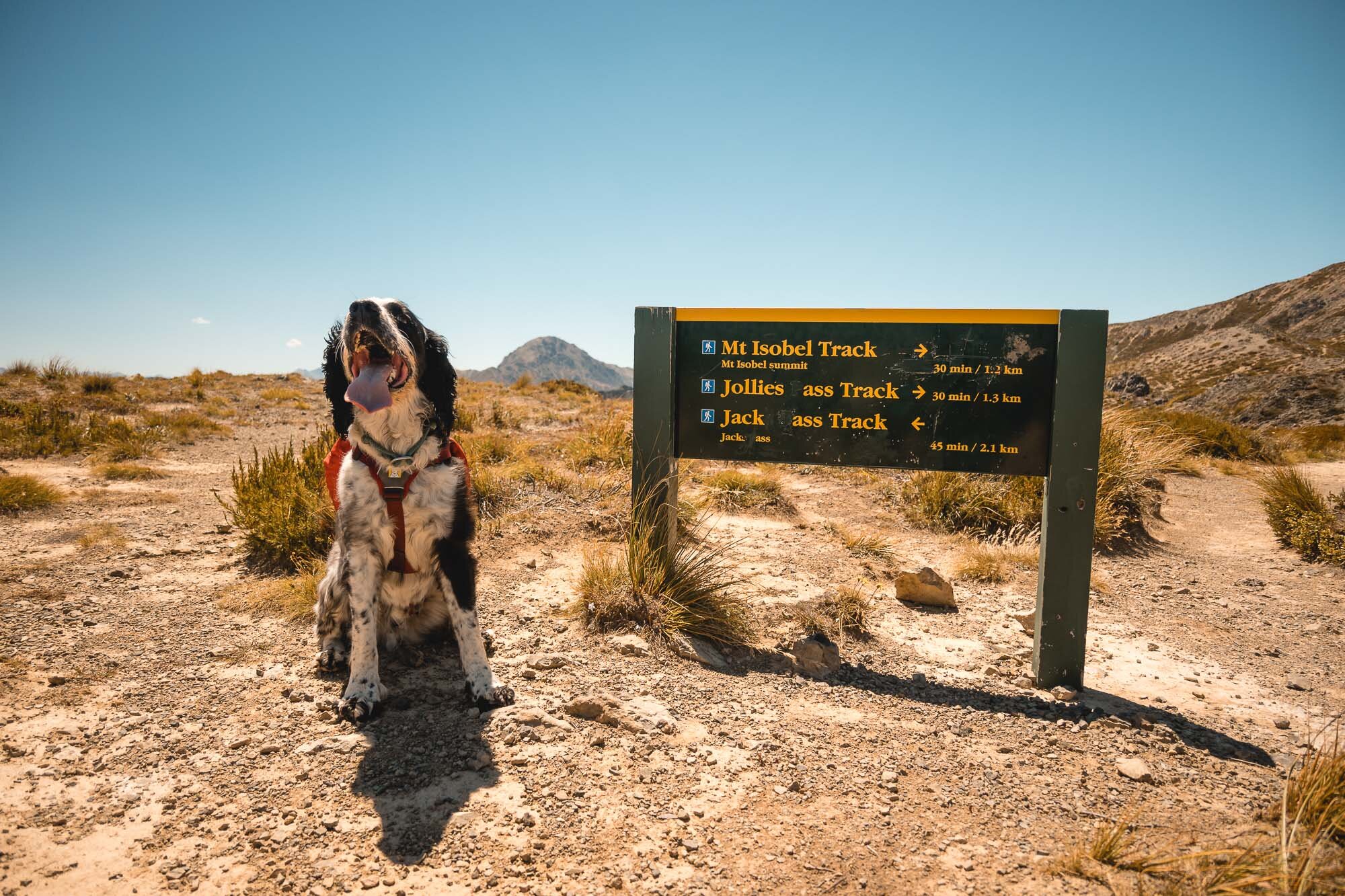
Star of the show, Charlie. Ready to go. He was on his lead the first time as it was really busy, second time we did it we were the only people there.
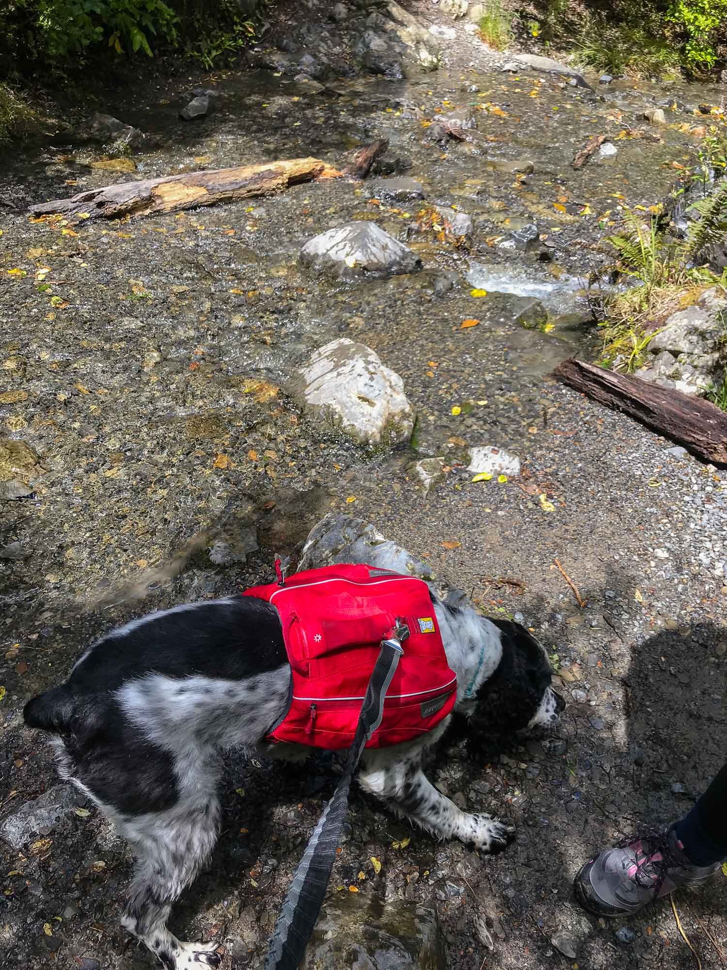
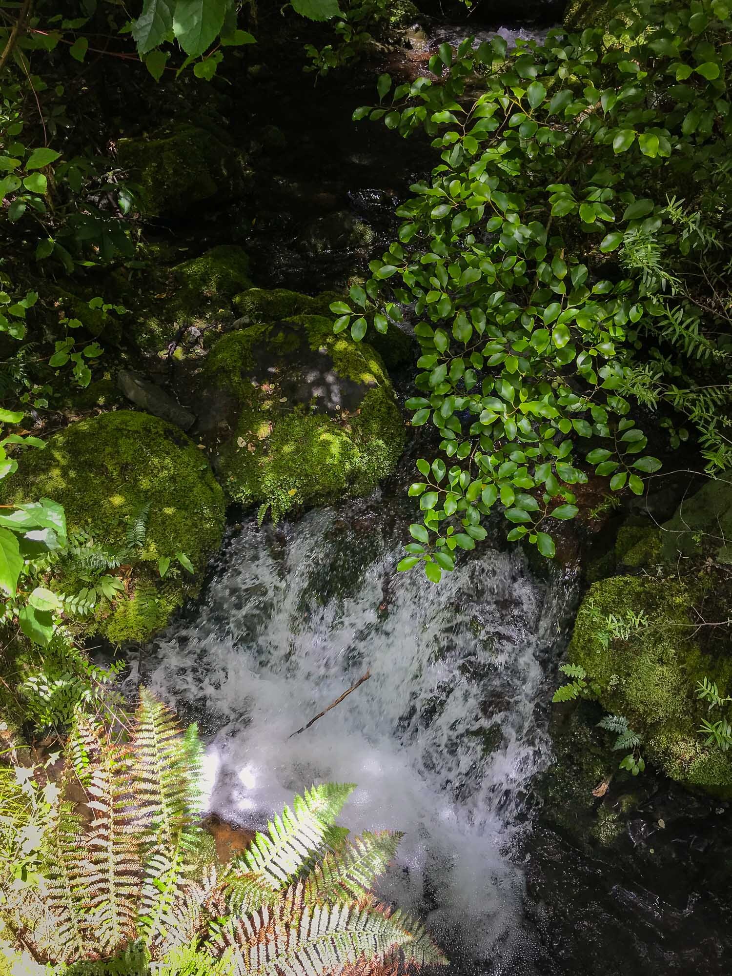
How about that waterfall? Such a treat on a hot day!

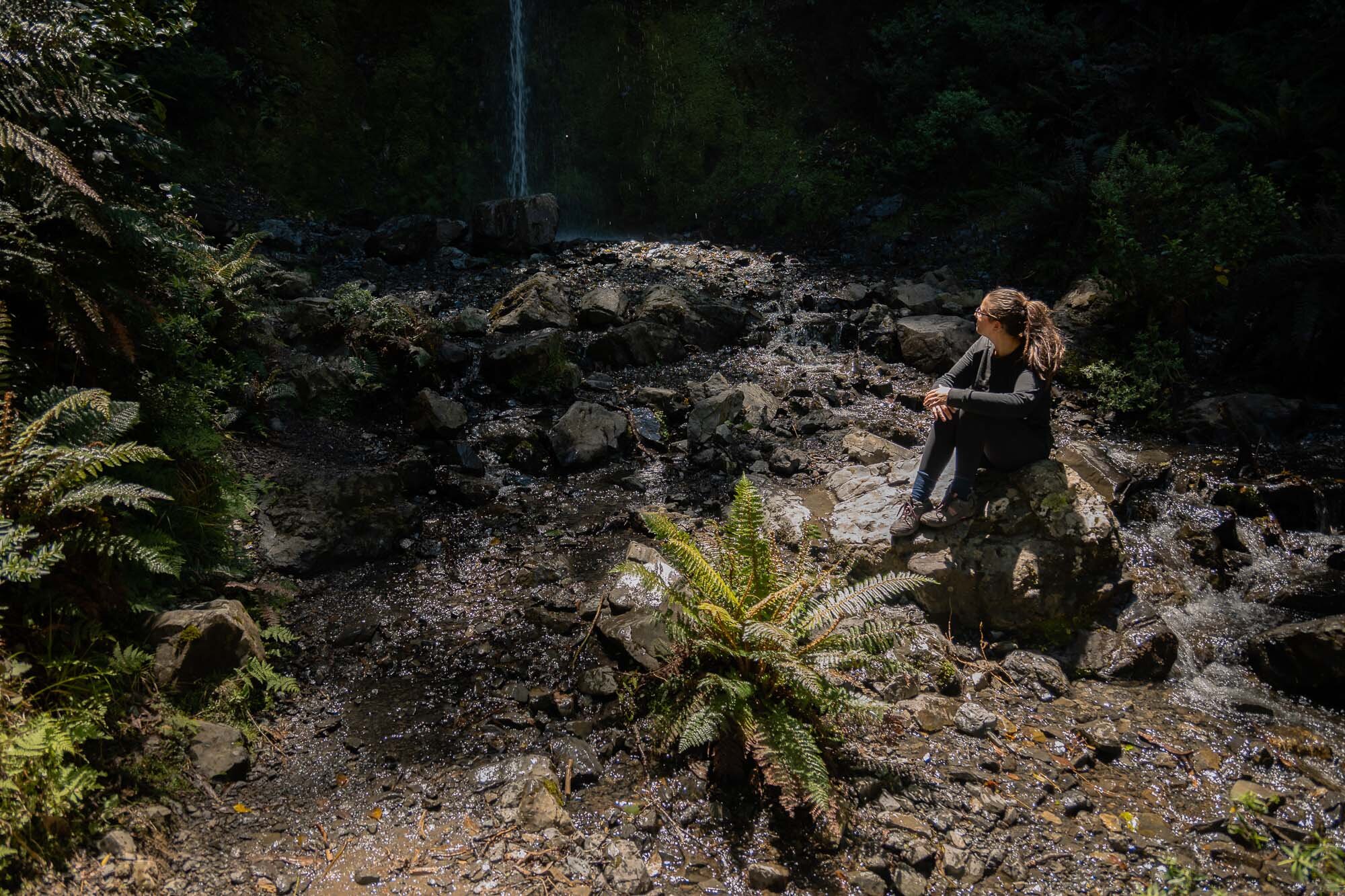
My wife enjoying a break from the uphill at the waterfall.
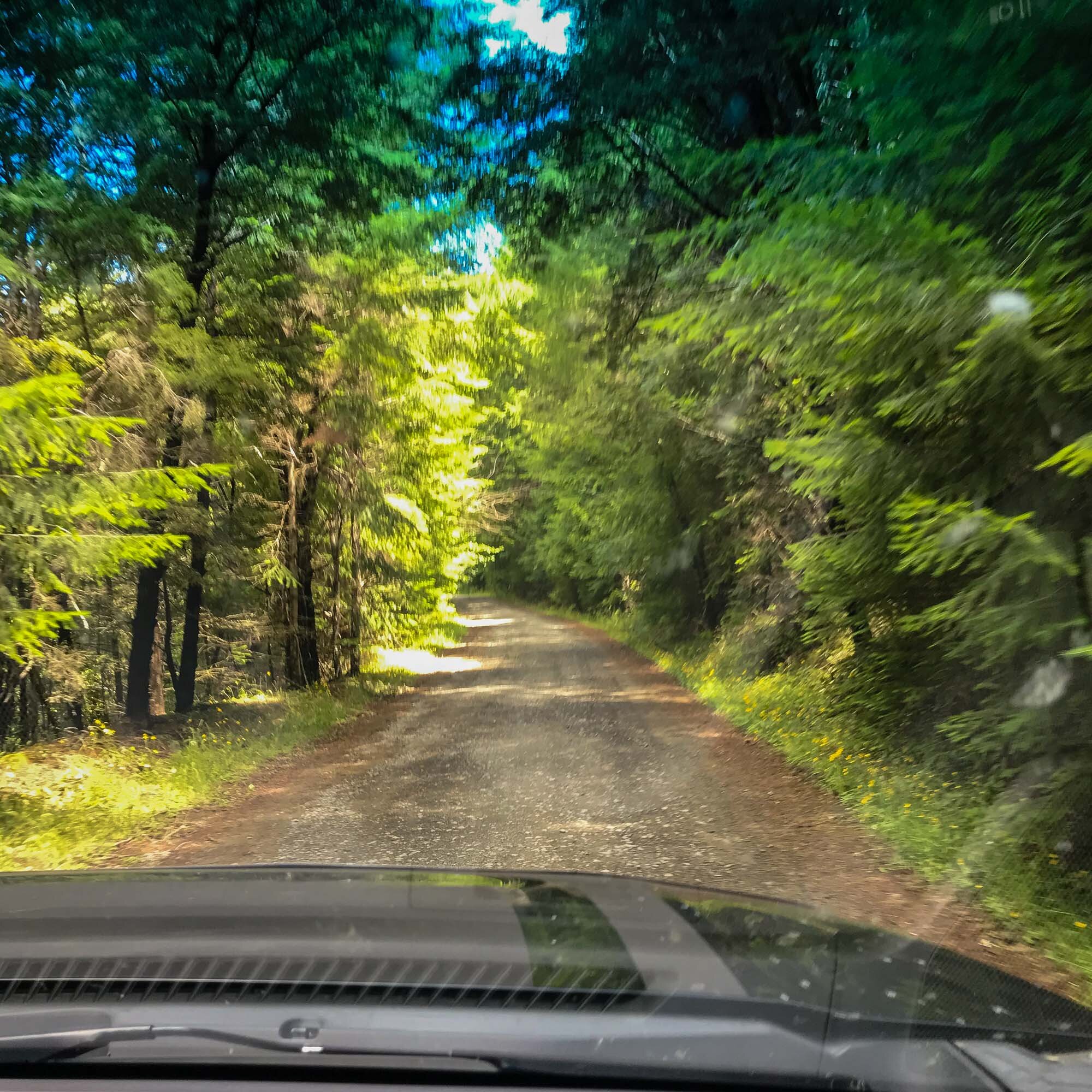
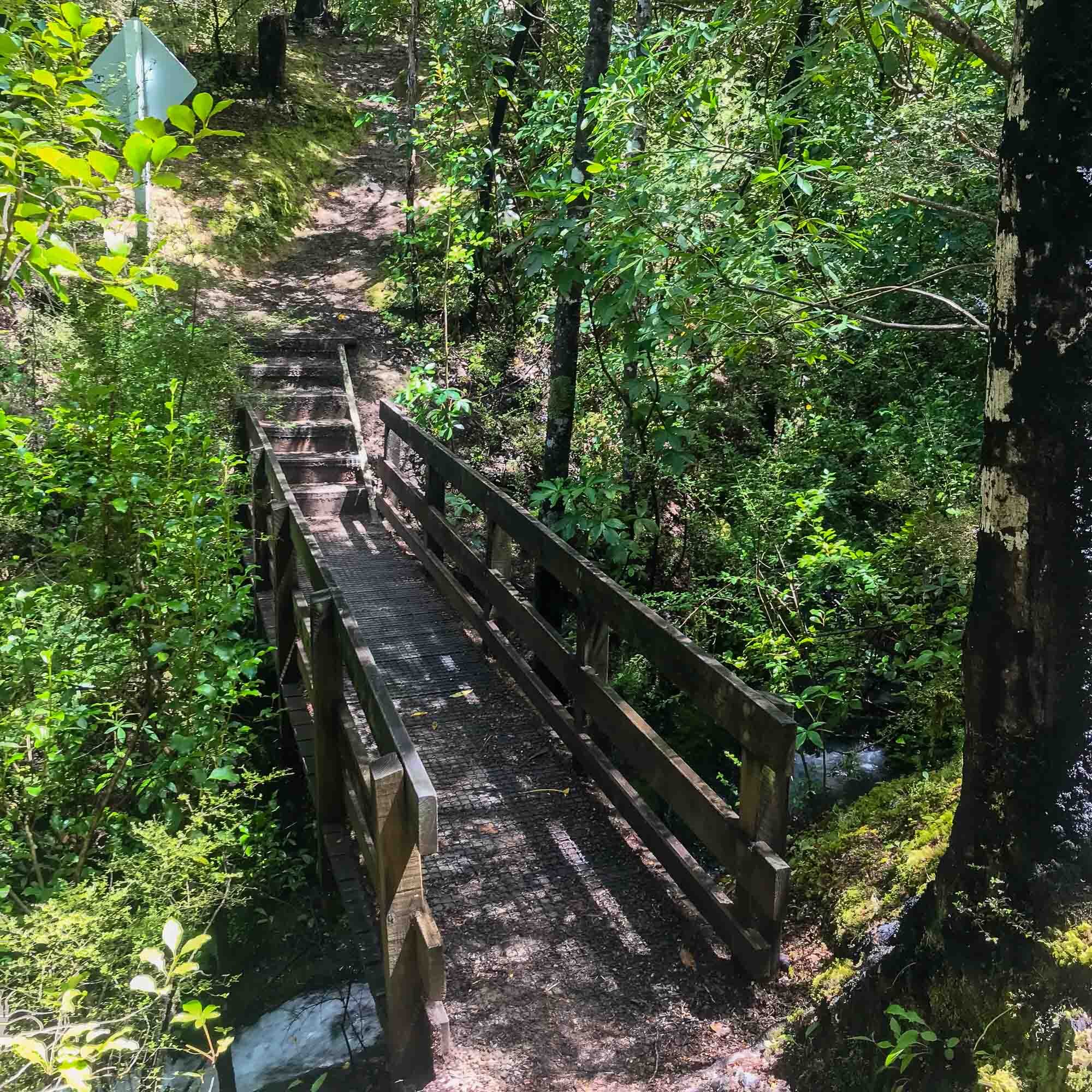
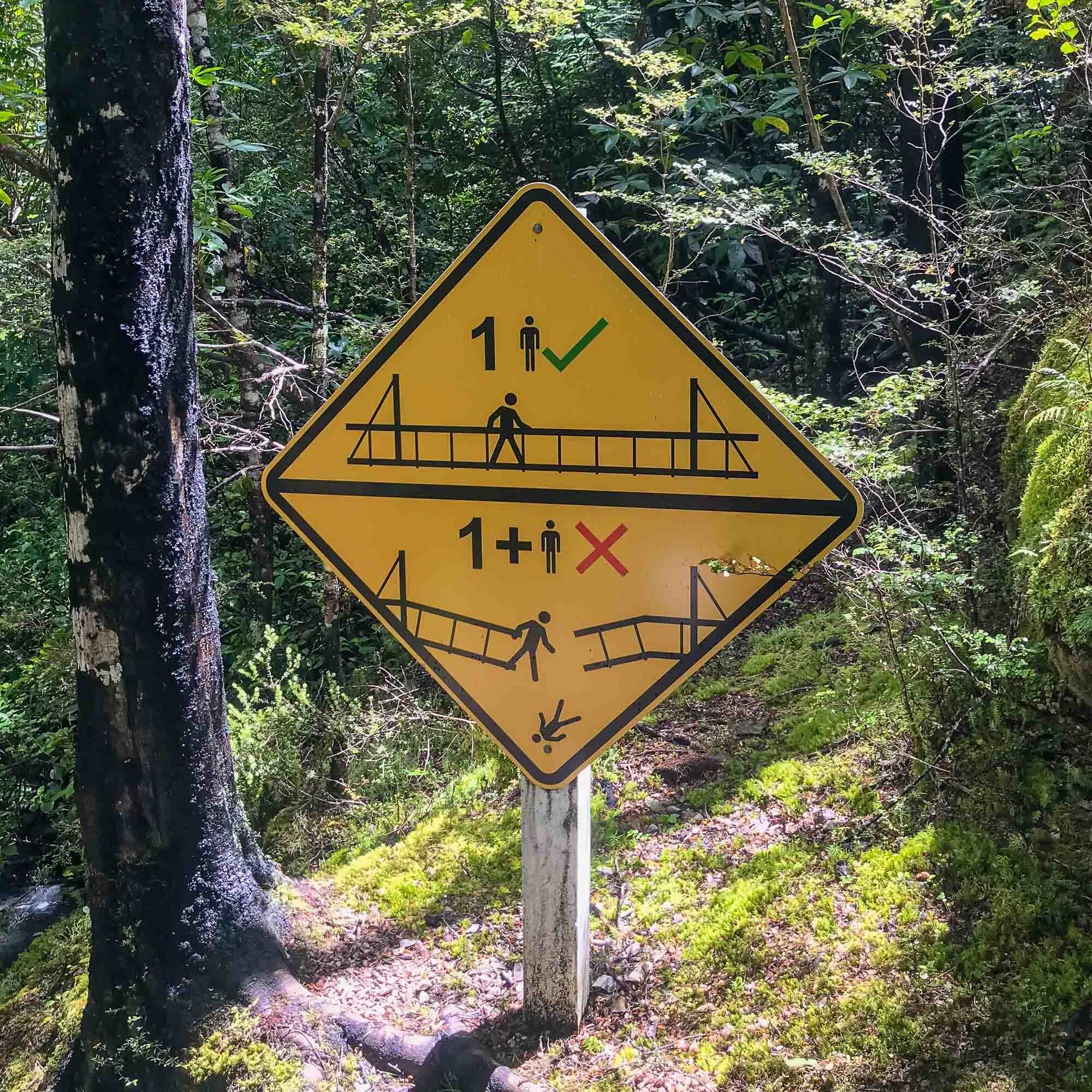
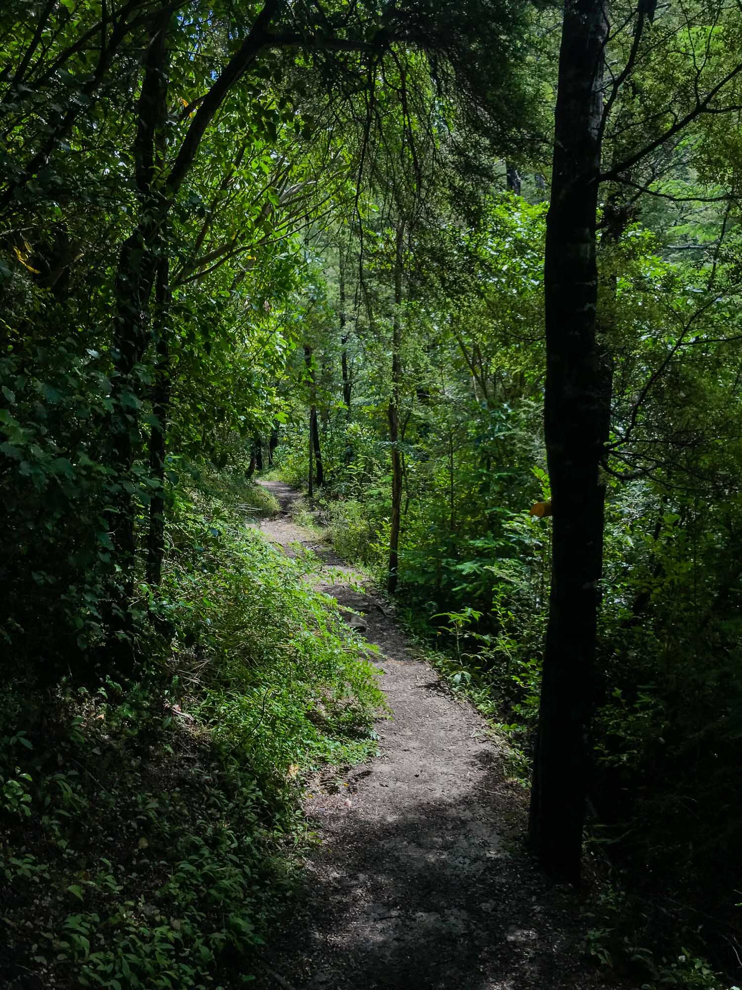
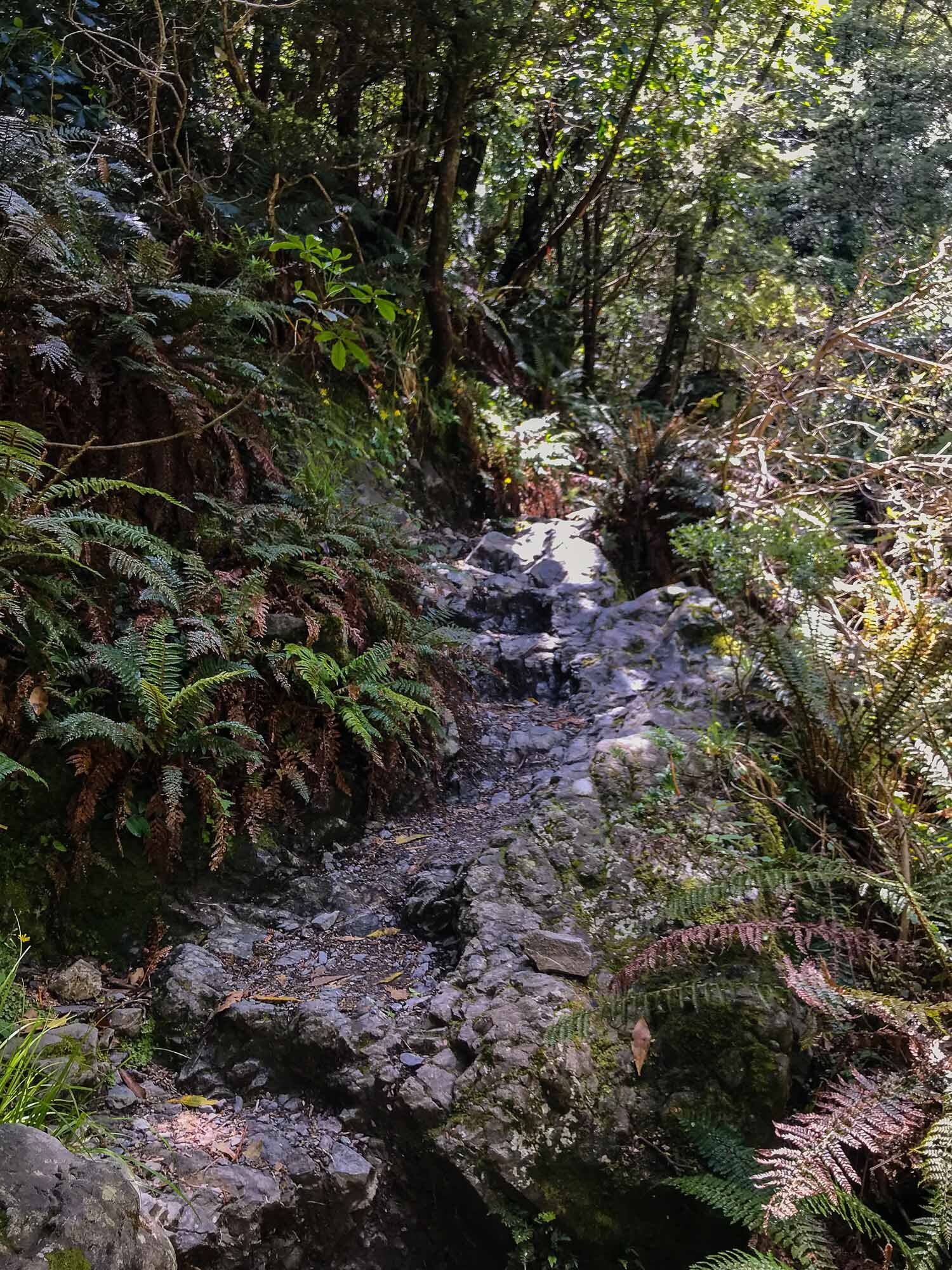
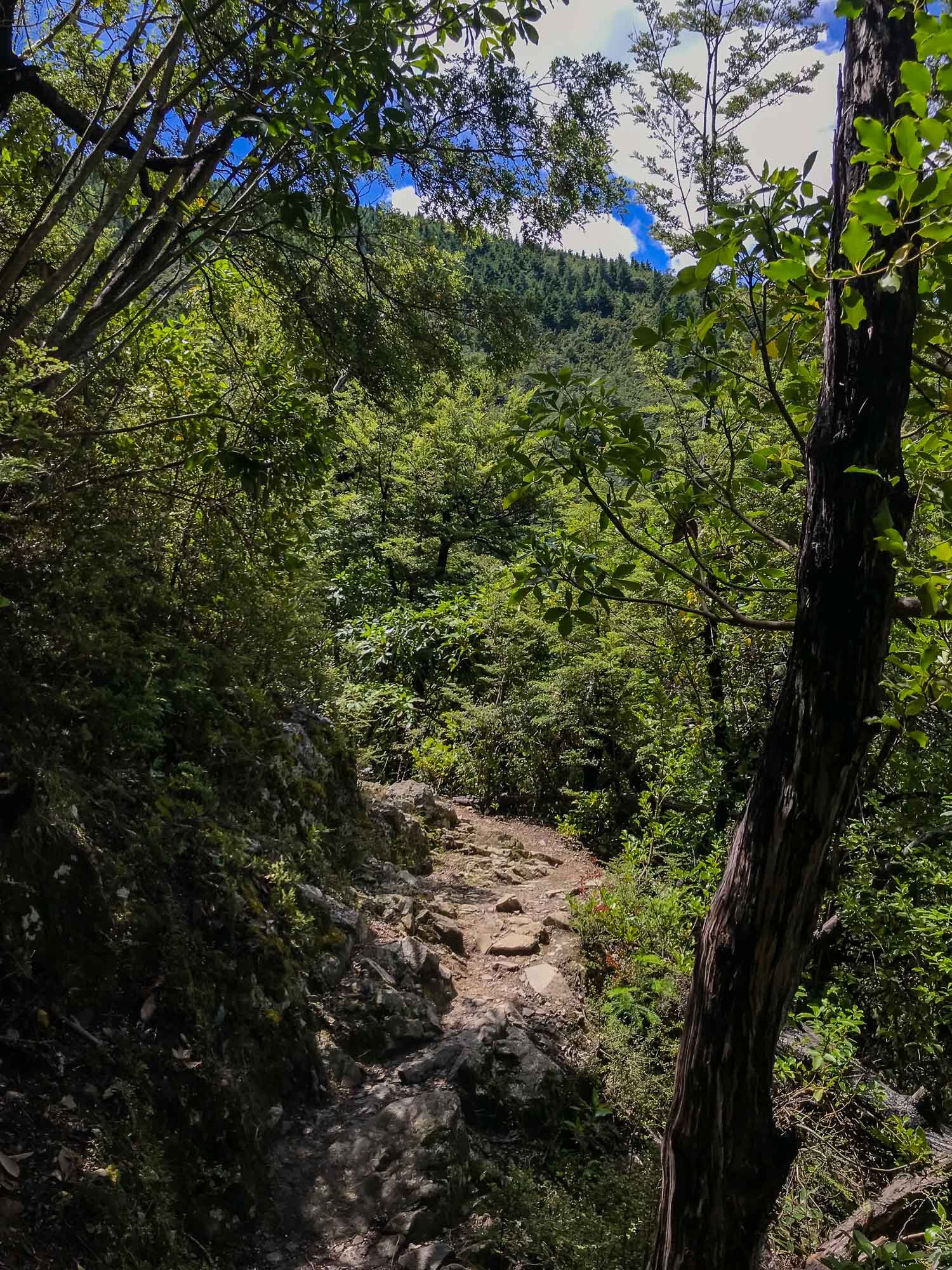
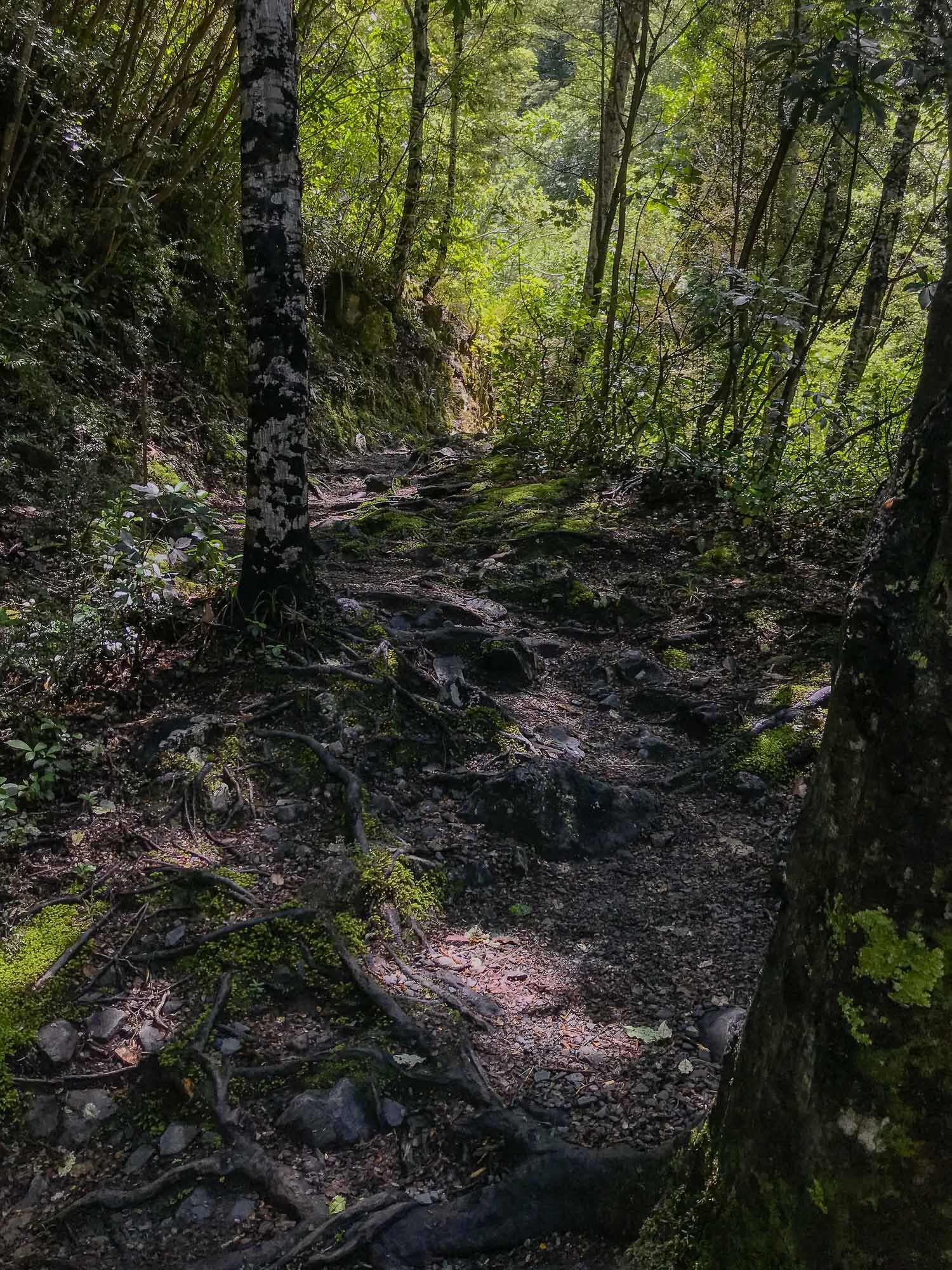
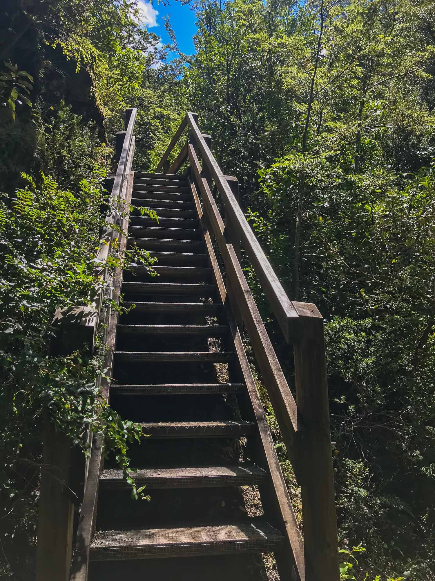
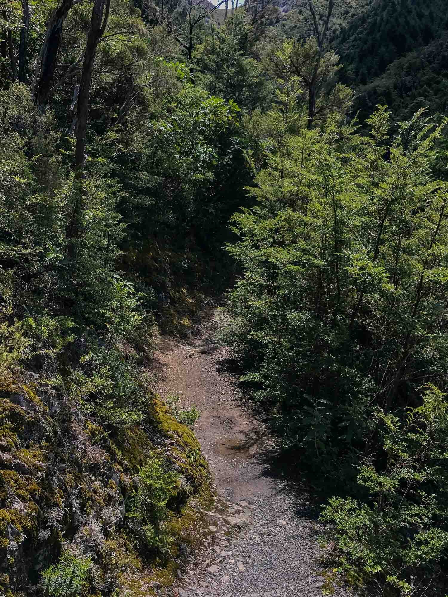
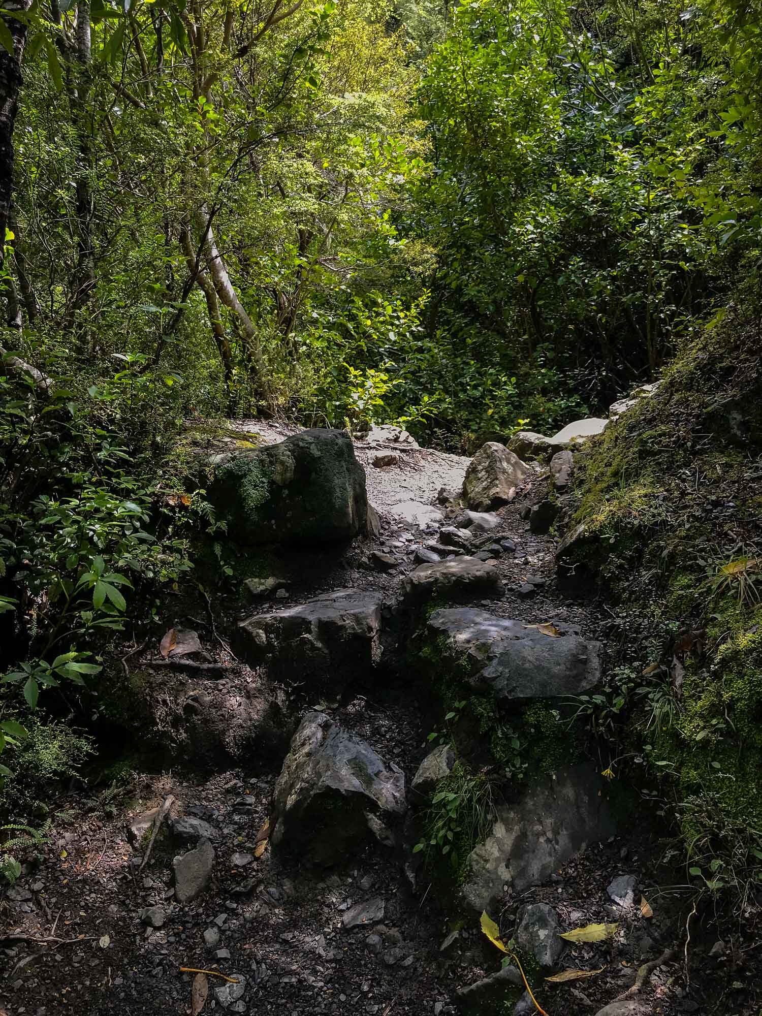
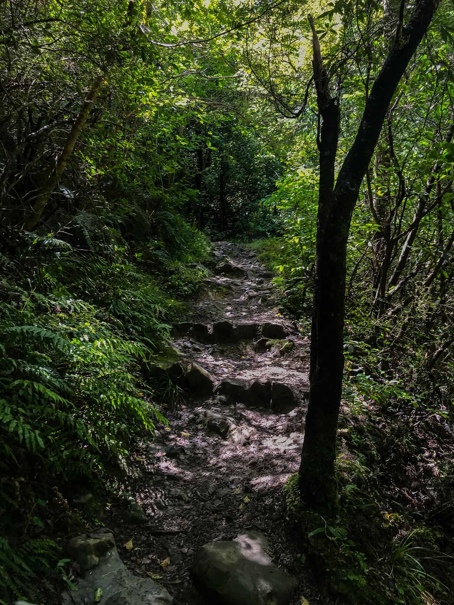
Below, iPhone trail images to get an idea of the track.

The view from 80% of the way, looking down onto Hanmer Springs.
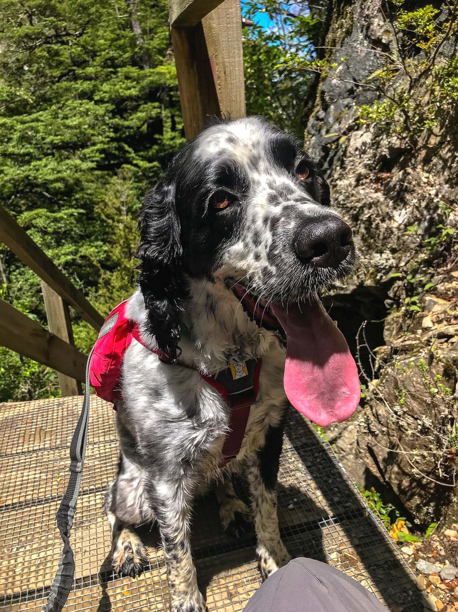
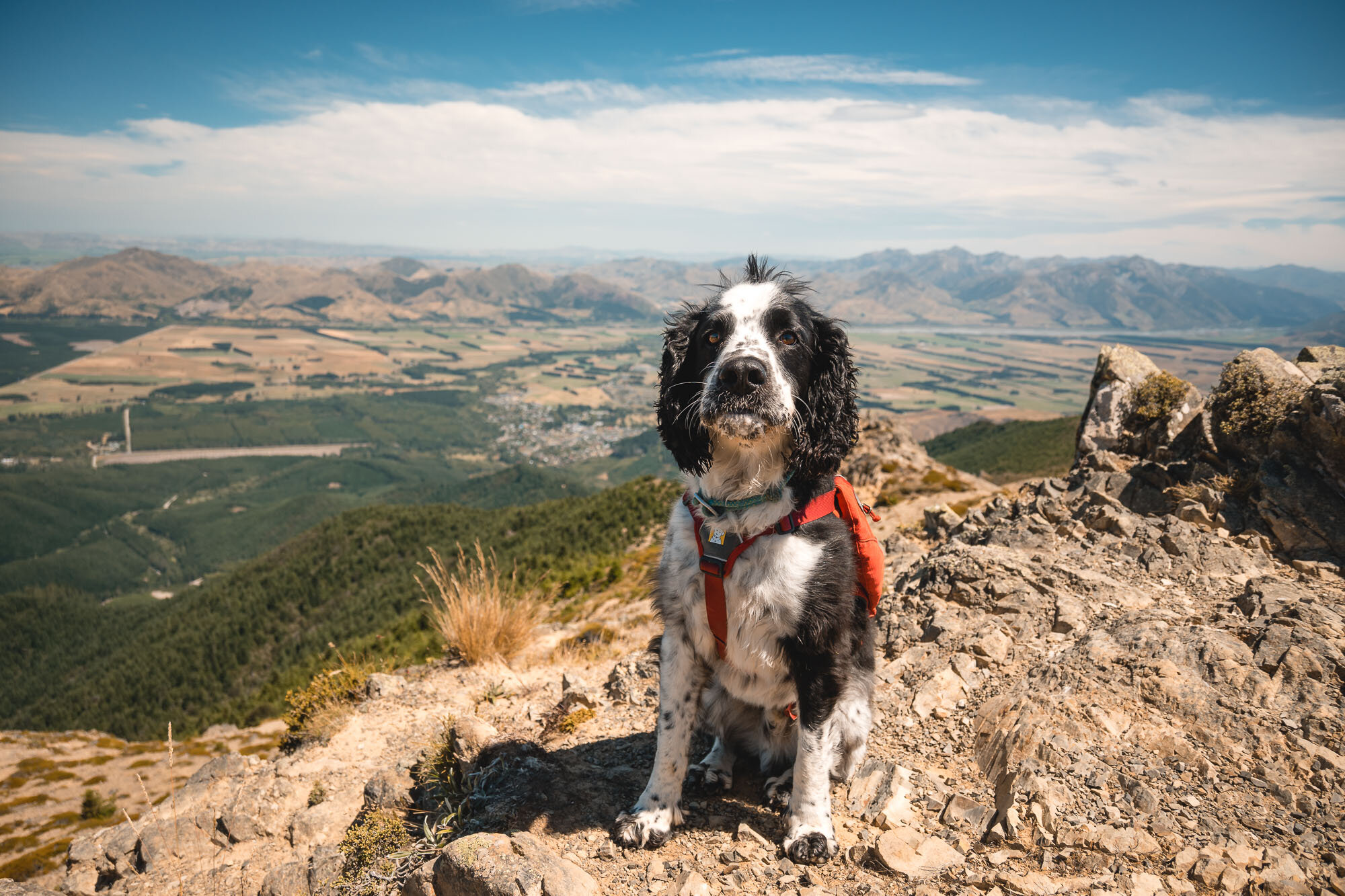
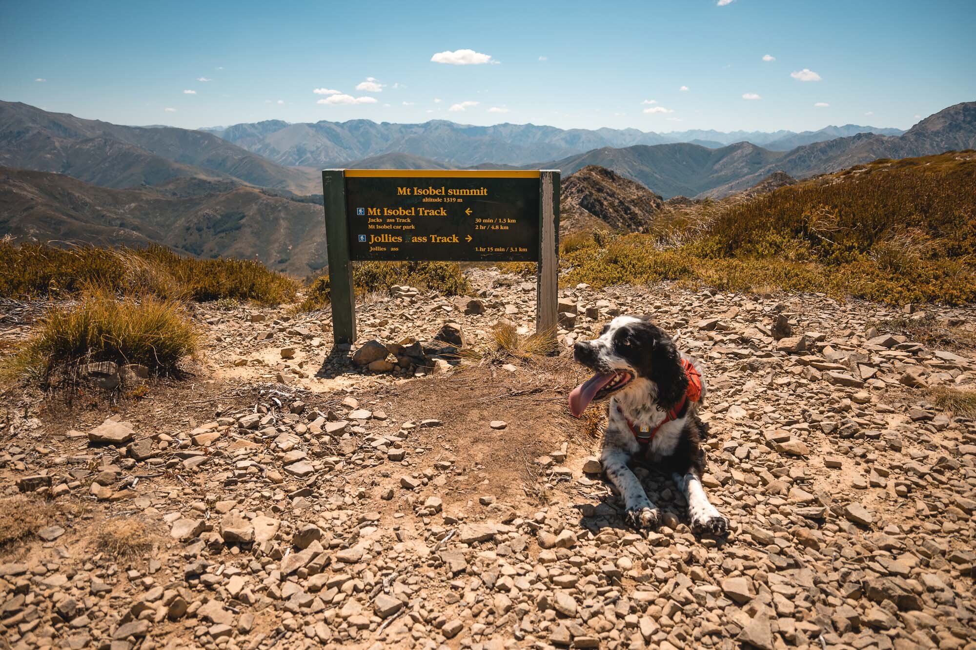
Below, Charlie being very proud to make it to the saddle and then to the summit.


The above images are from the 2019 Montane shoot with Jenny Tough, showing some vastly different conditions.

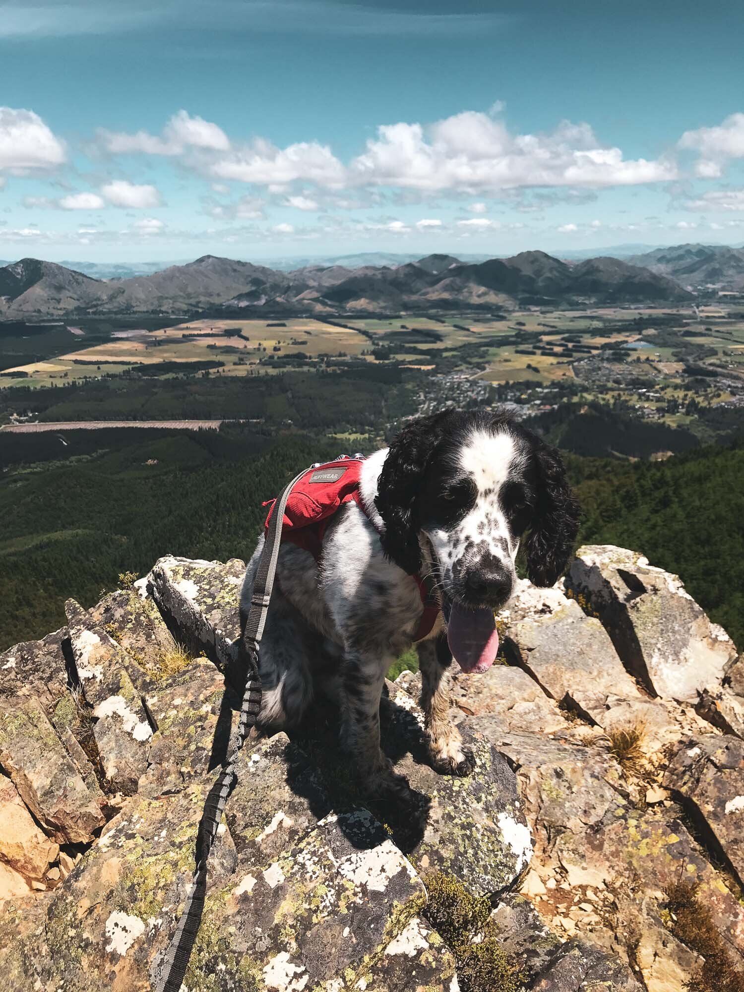
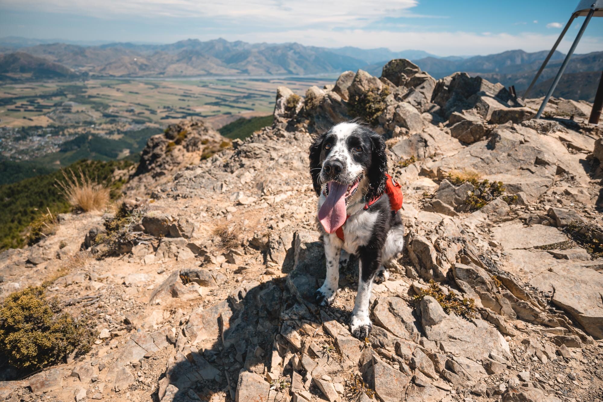
Cap this off with another Charlie summit portrait. Good boy.