Mt Harper, Canterbury, New Zealand

MT HARPER
South Canterbury
Location:
South Canterbury
For this track, head out towards ‘Lake Camp’, on the road to Lake Clearwater. Once you get to Lake Camp, there’s a little shingle access road just on the left hand side of the road on the near side of the lake that leads along the tree line, head down that road, it ends up at a parking space where the trail starts.
Time:
7 hours return.
4.5 hours up, 2.5 hours down. With dog, photos, low visibility and fading light.
Difficulty.
Hard
Dogs:
Under effective control
This was our first attempt at an un-poled route. This is a mixture of 3x different attempts, hence the changing conditions in the images.
First attempt. Arrived too late in the day, would have run out of light, did the Lake Emma walk instead (see that adventure here).
Second attempt. Gave ourselves more time, as we finished the first climb the weather that was meant to be coming in later turned up early, with sleet and wind and visibility dropping fast we decided to turn back.
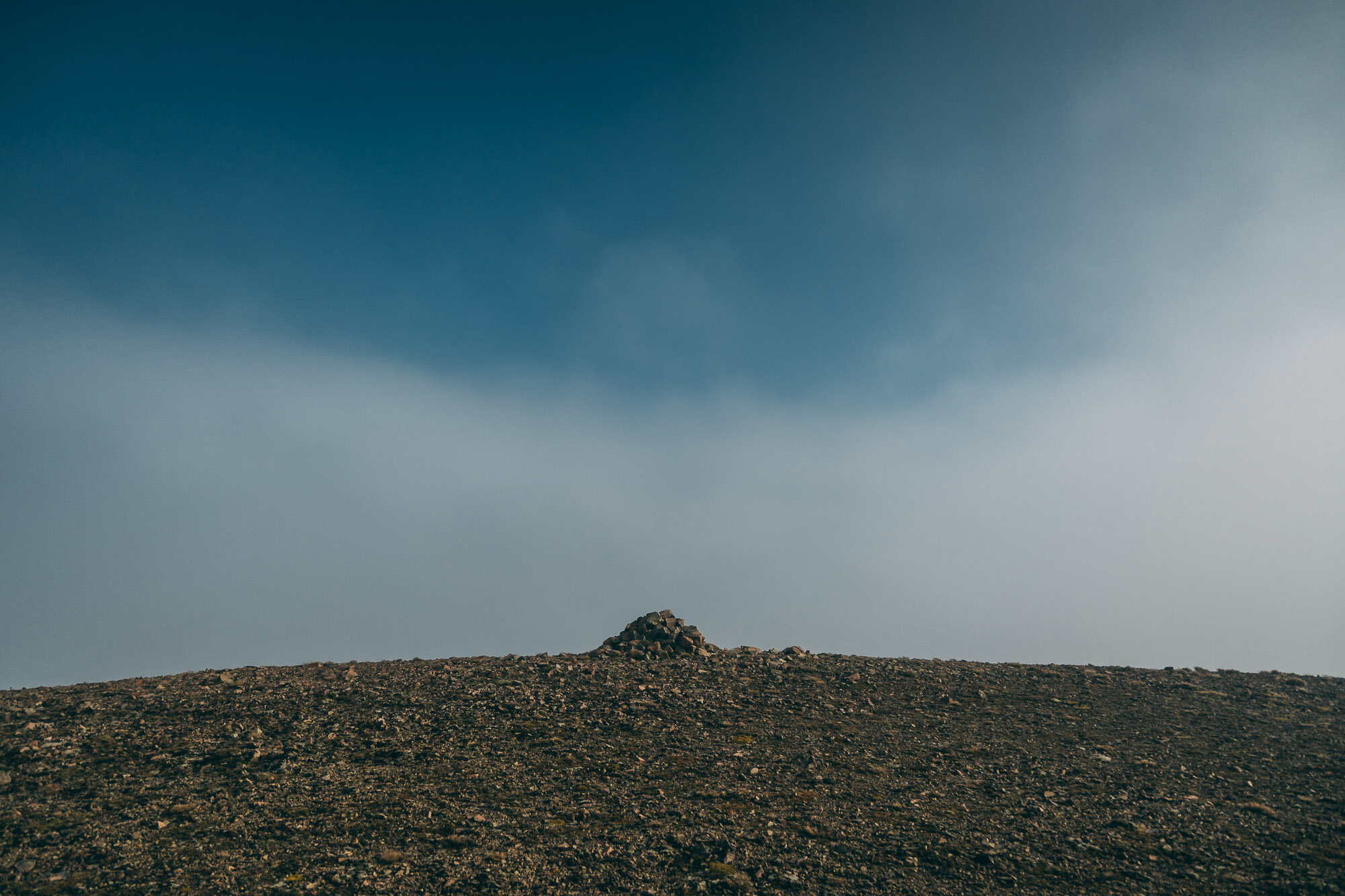
Third attempt. The weather report said no rain, but we turned up to super ominous-looking low cloud. We thought we might be able to get above it, and had gone all the way out there so decided to push on and finally get it done.
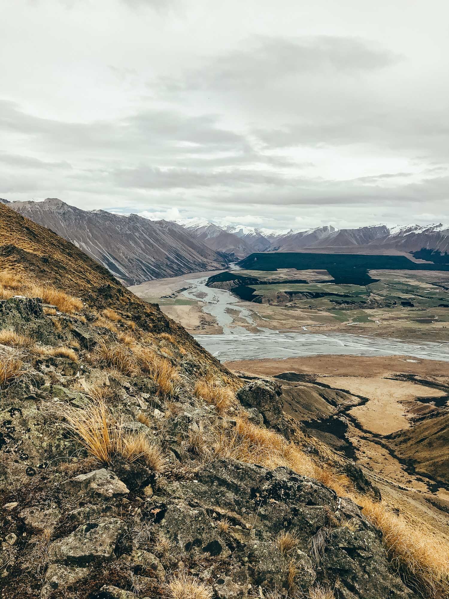
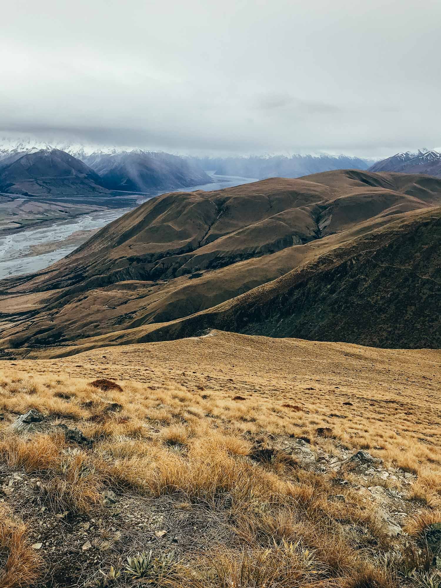
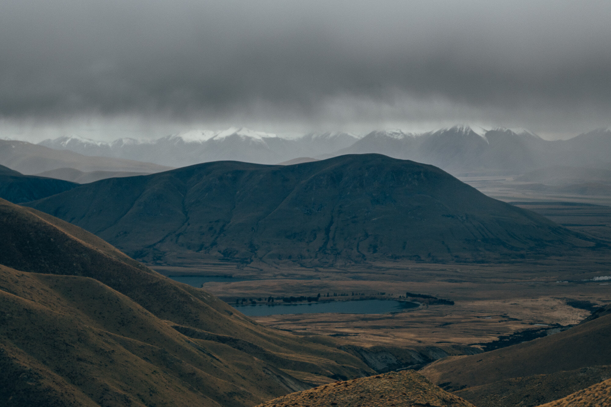
The day we made the summit was a very quiet day, very still, with no one around (maybe due to the weather). The low cloud started at the top of the first climb and we basically had no visibility from there on in. Once we got to the top there was a tiny clearing of the clouds above us, which we thought may burn off the clouds, however, it did not. Apart from a sprinkling of blue skies - the only views we saw were grey - I can only assume they were epic…
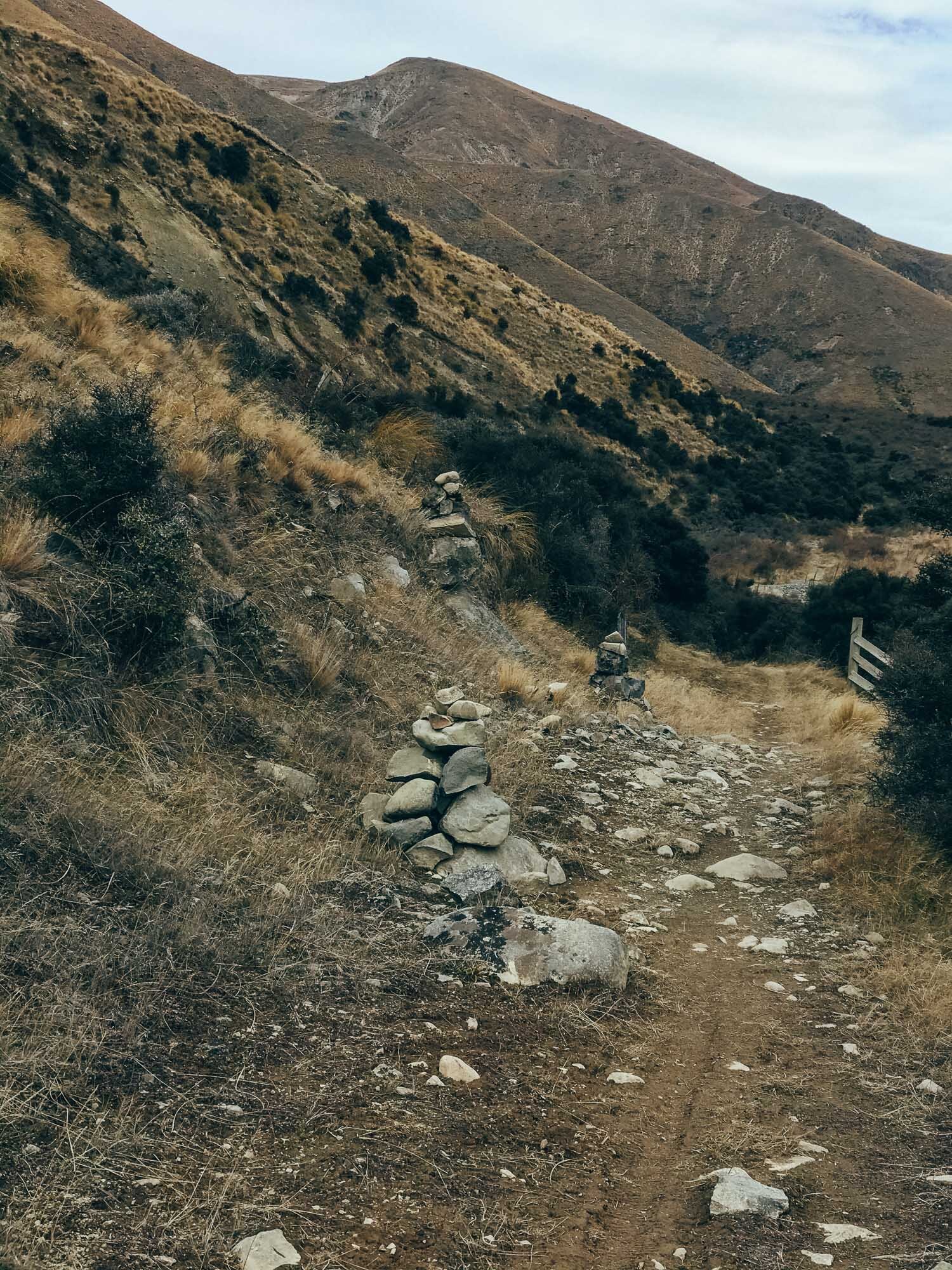
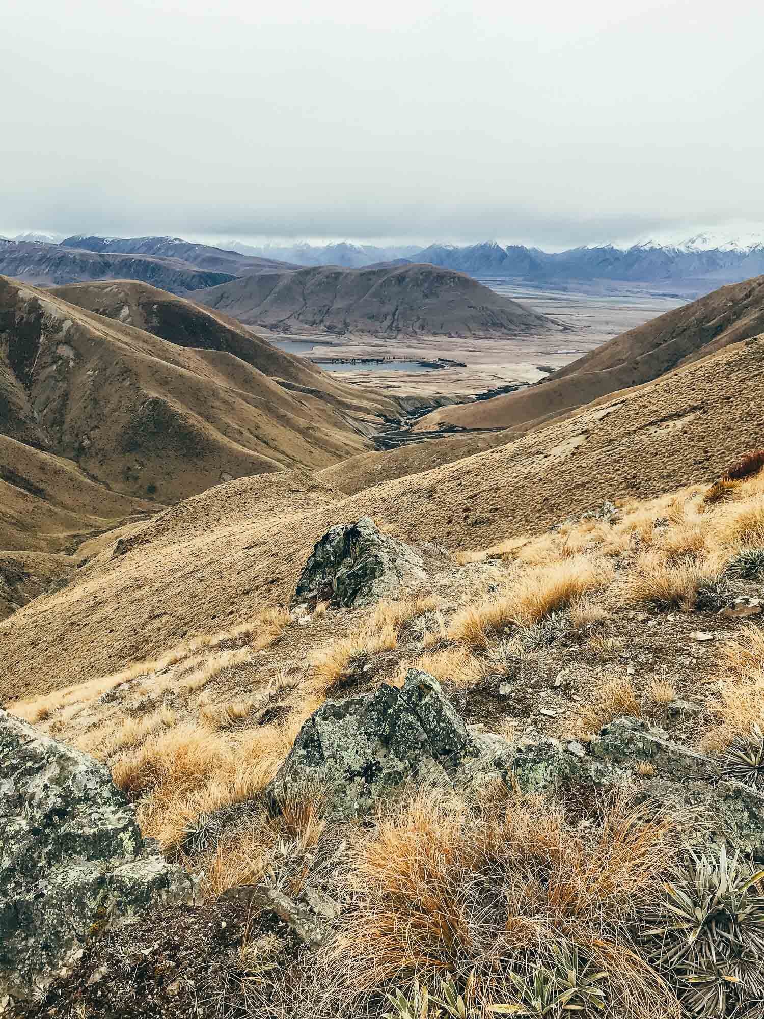
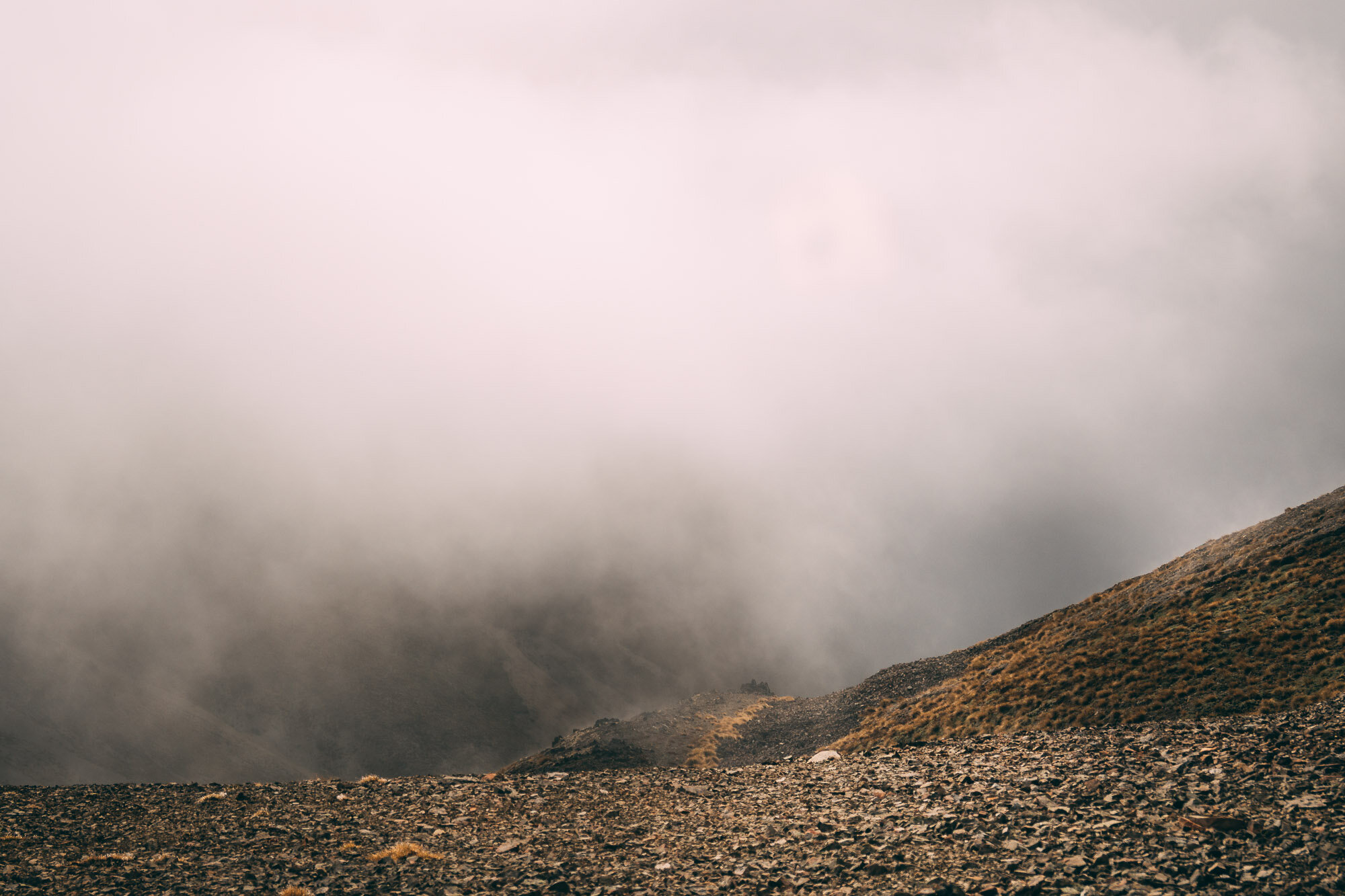
The hike was made extra challenging as there is no marked route to follow, I used a map and a compass and then made guesses. With the lack of visibility, it was hard to pick out correct approaches, especially looking for the route down the ridge (or even finding a ridge) on the descent - constant compass and map checking was required.
I may have to do this one again so I can see the views from the top.
Note: They really don’t want you to have your dog at Lake Camp or Lake Clearwater. There are lots of signs telling you that. You can take your dog on the hike, but he’s not welcome by the lake!
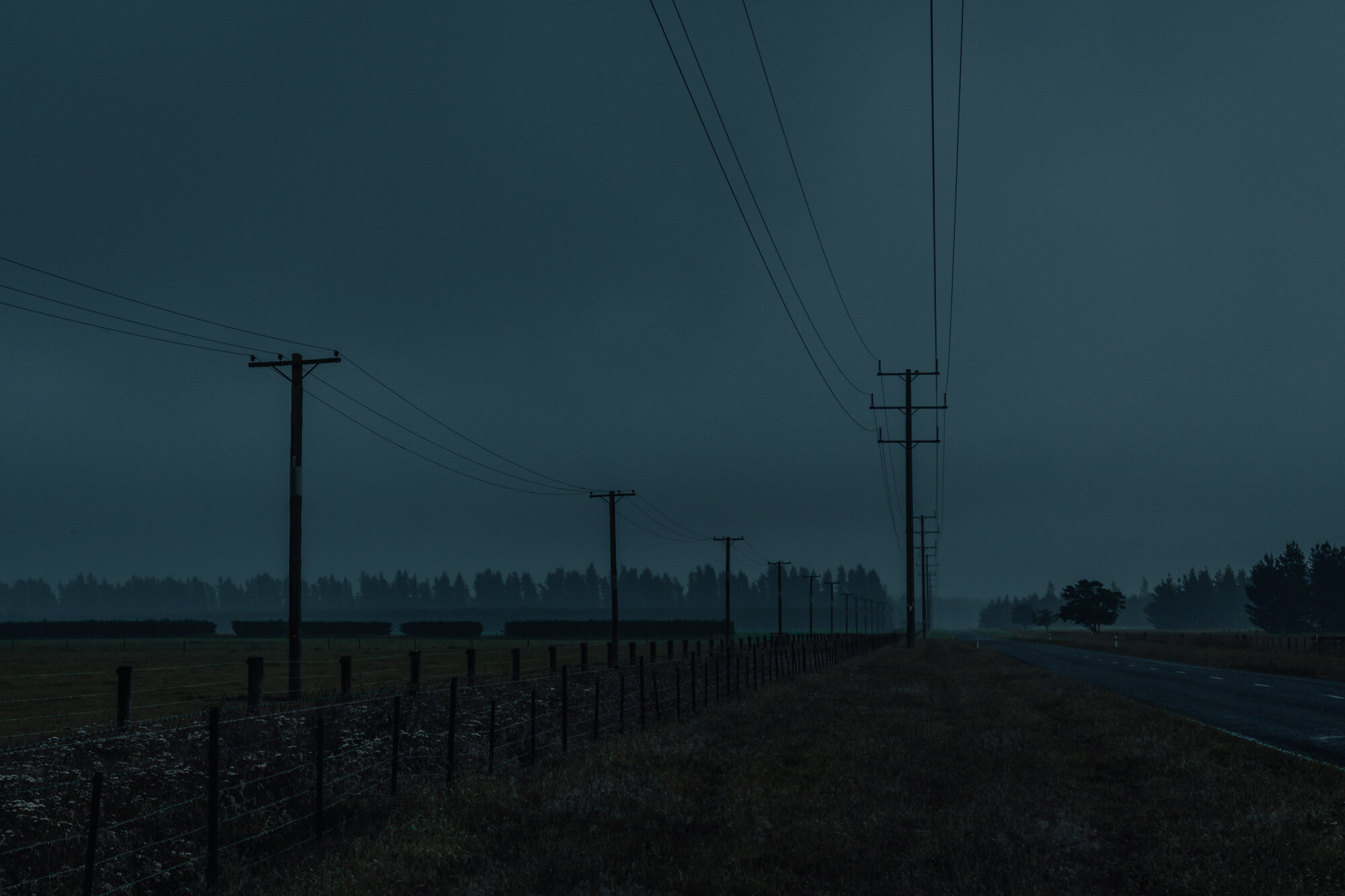
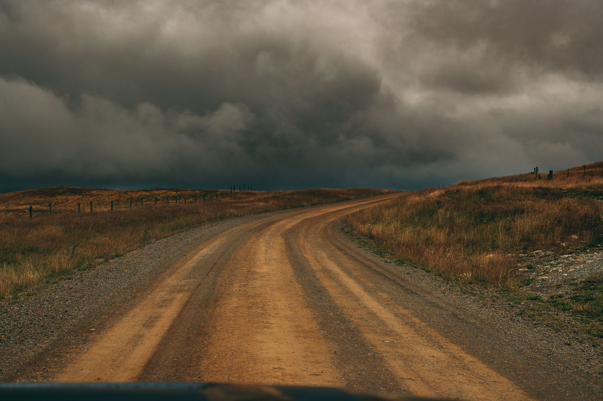
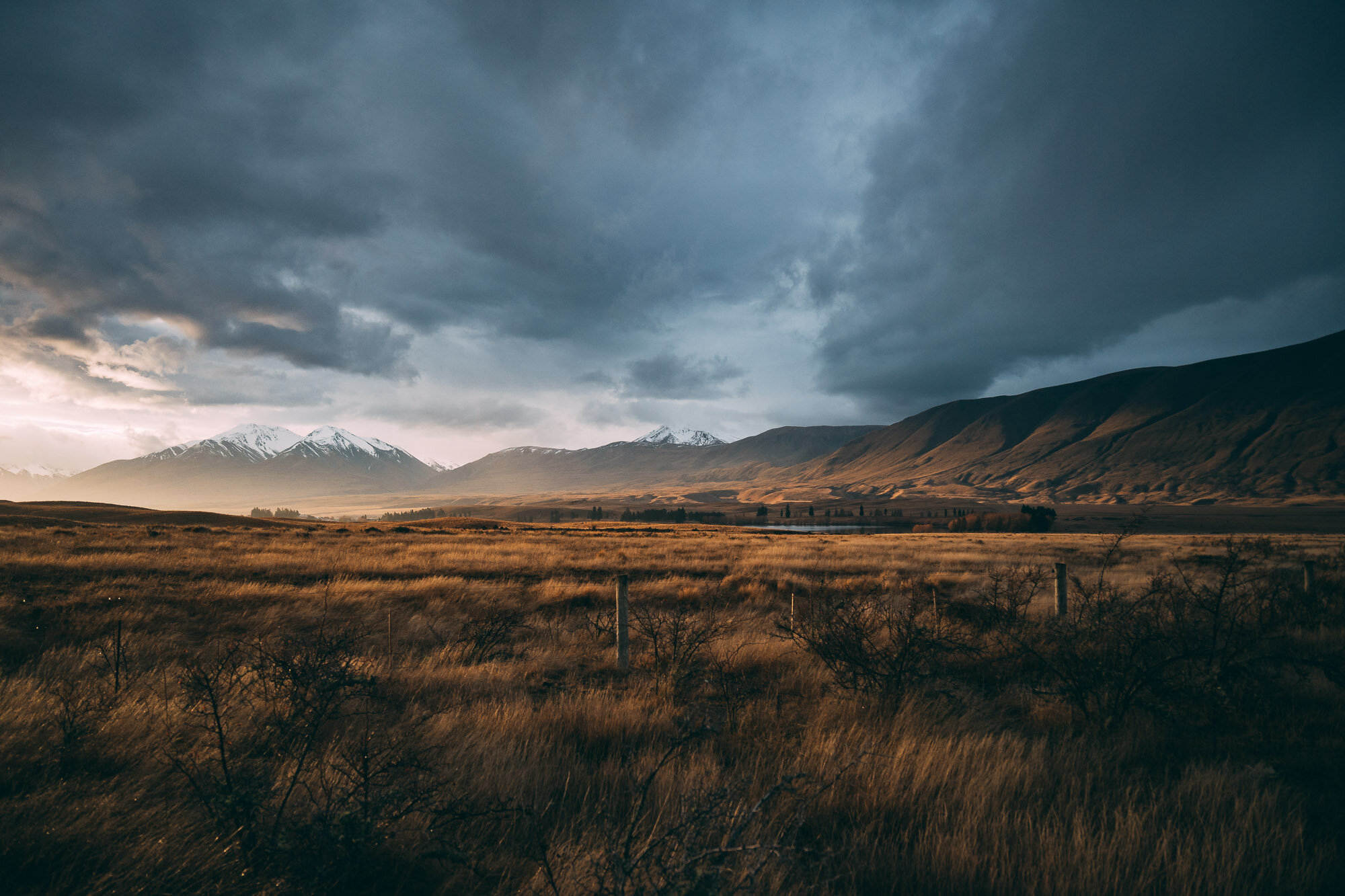
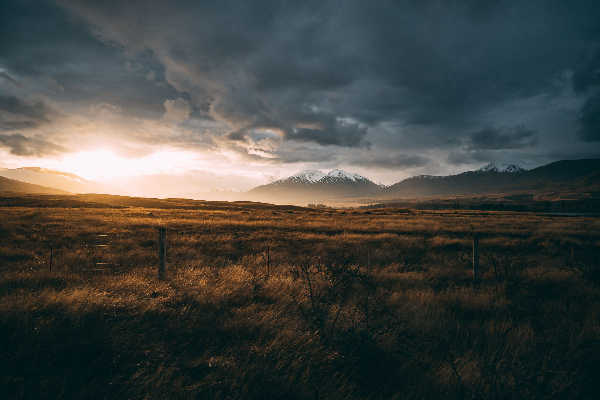
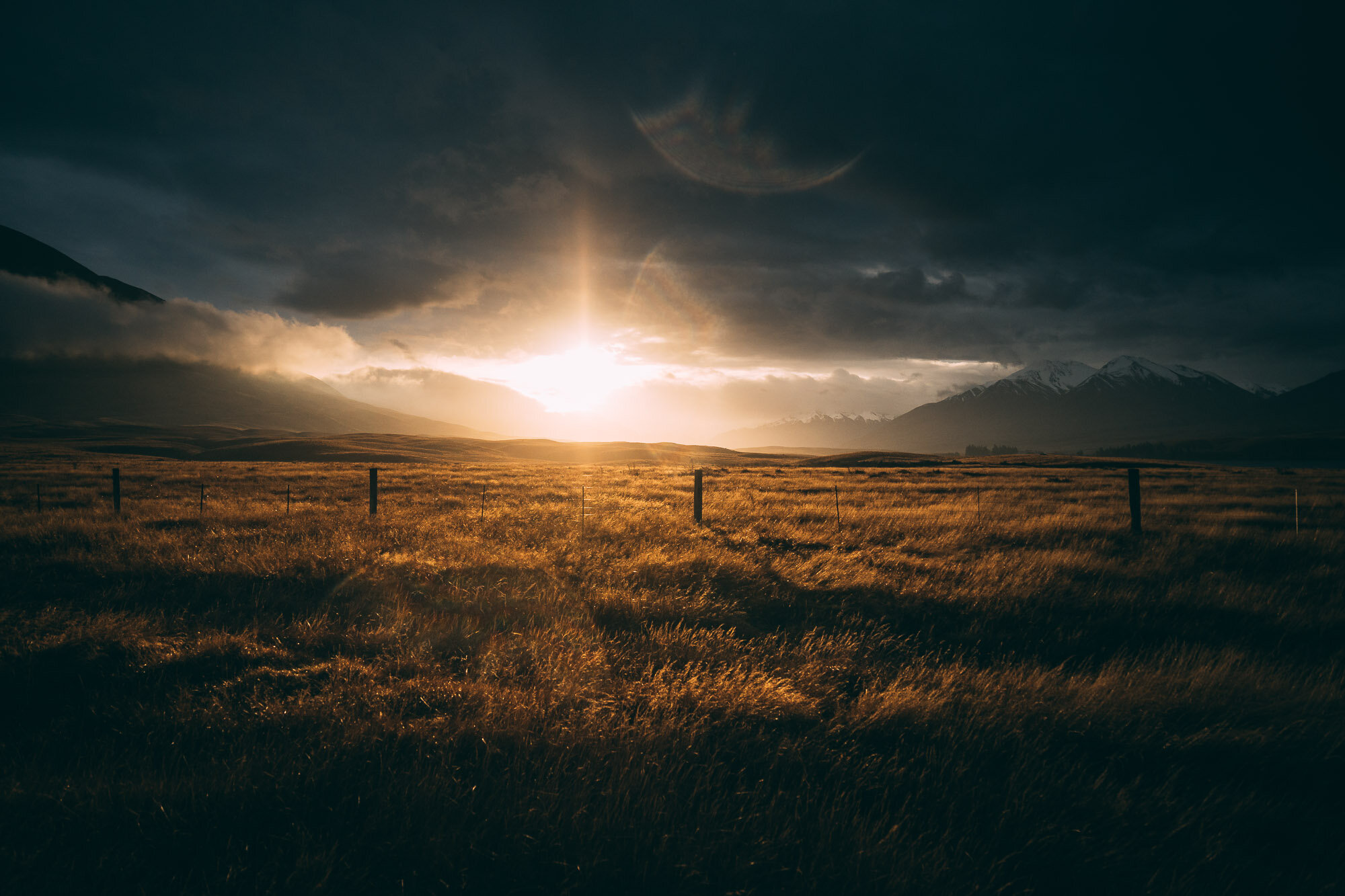
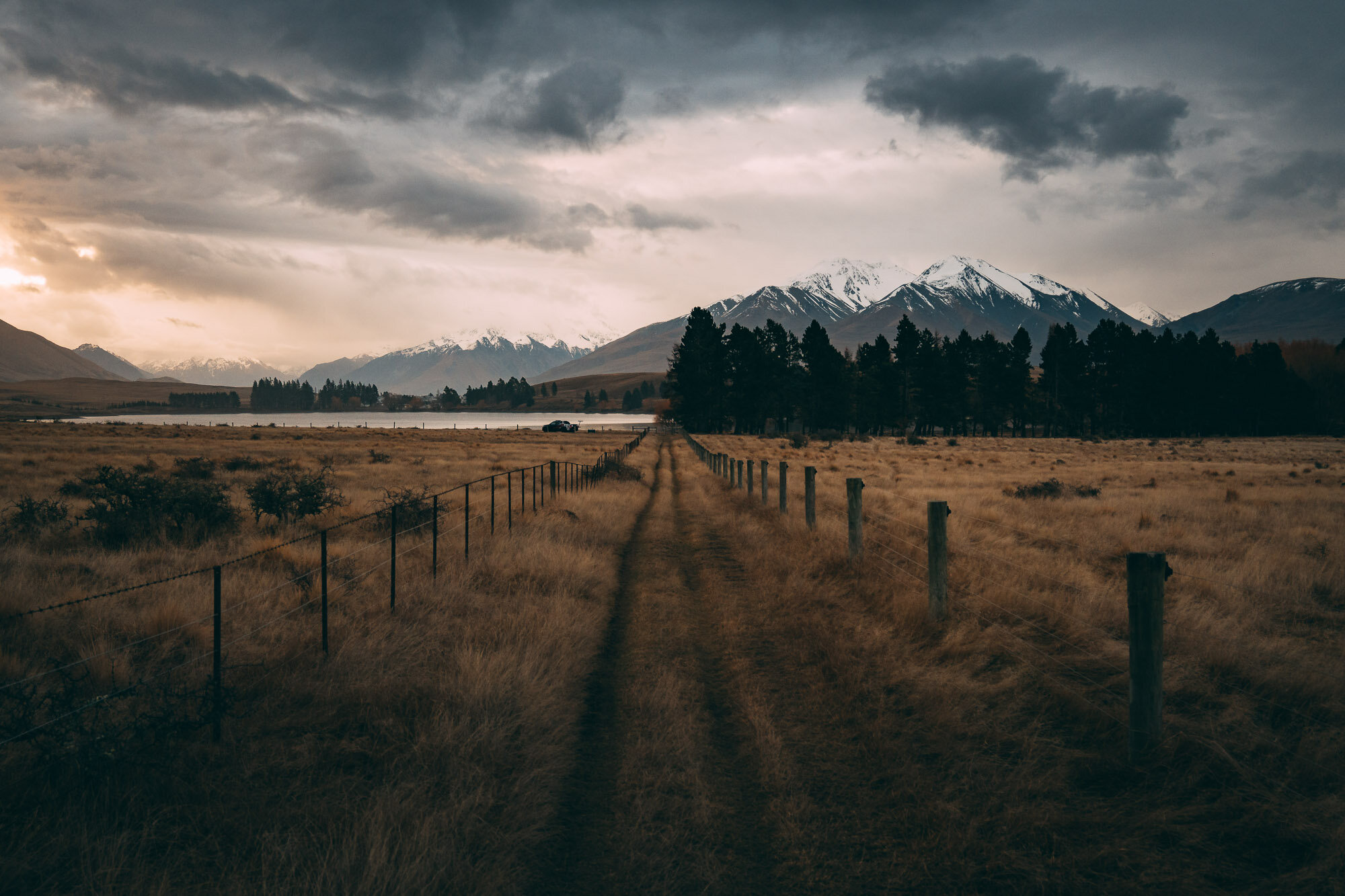
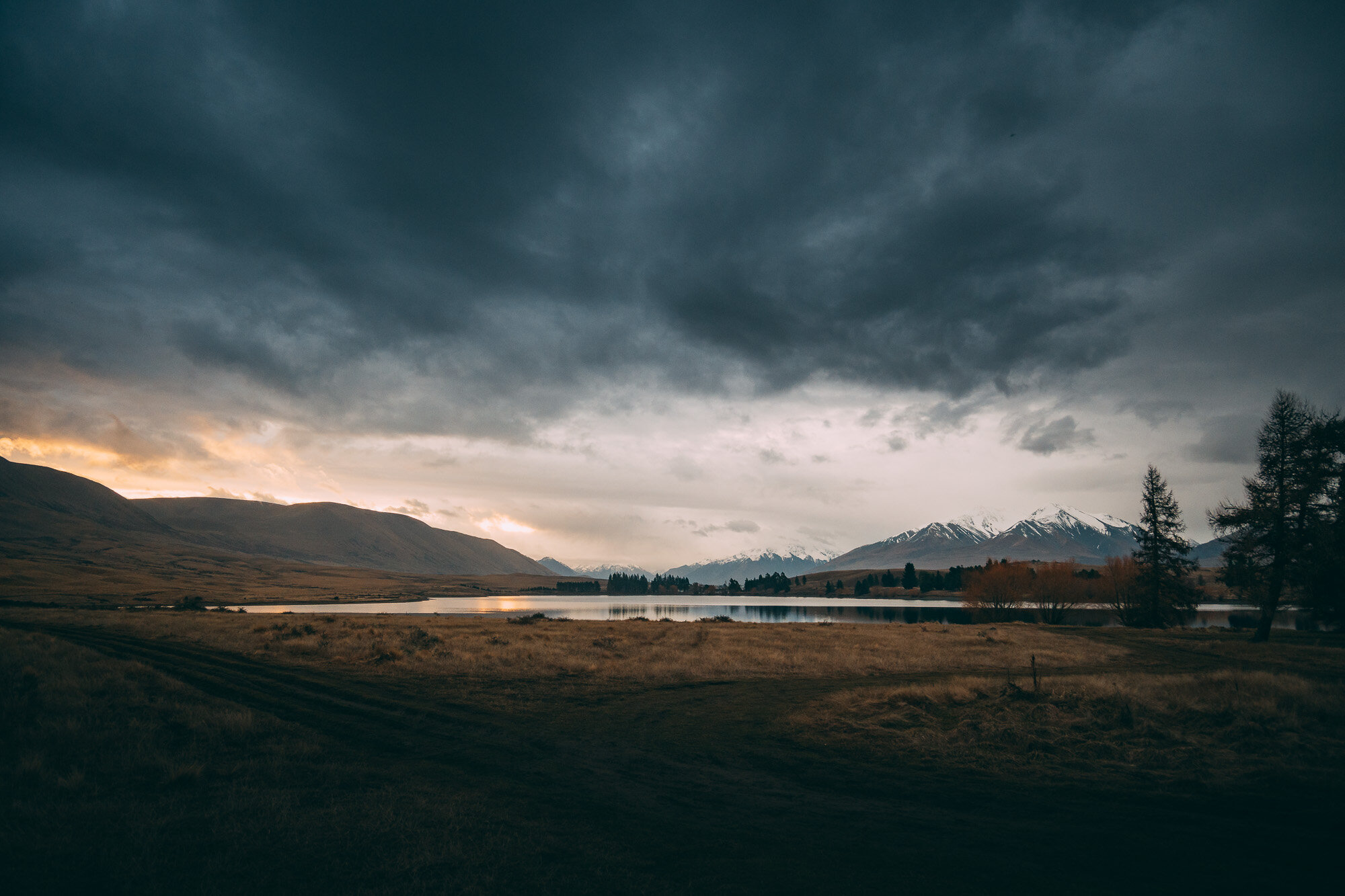
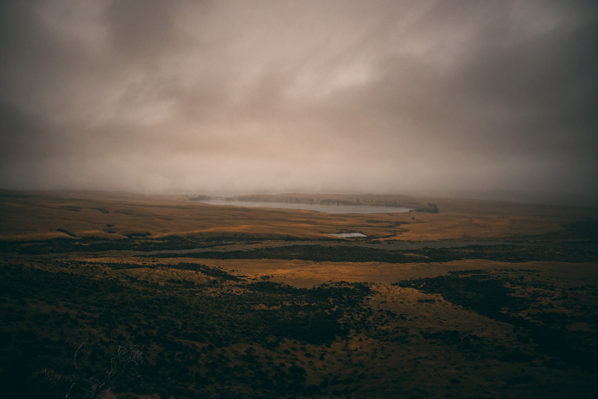
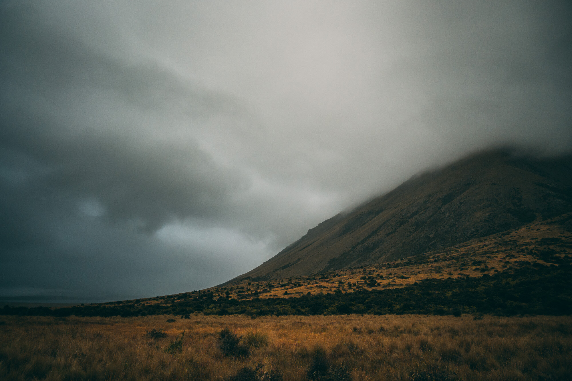
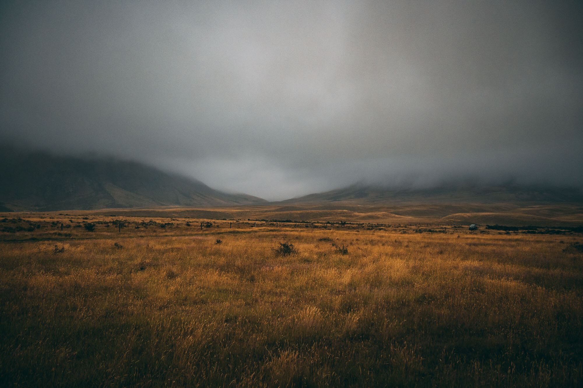
These are from the drive in - I should have had an idea of what we were walking into.
Below: Some iPhone snaps of us heading in on our second attempt.


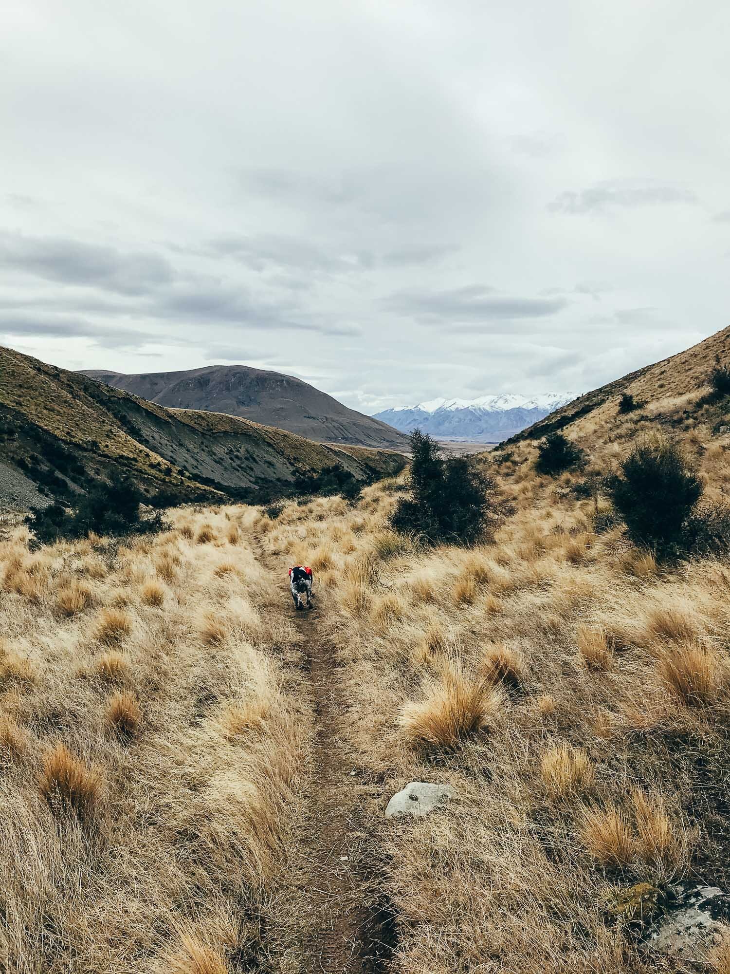

Hiking pack on and ready to go.
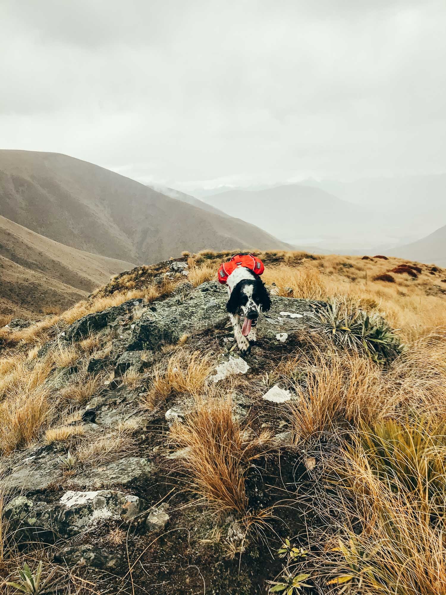
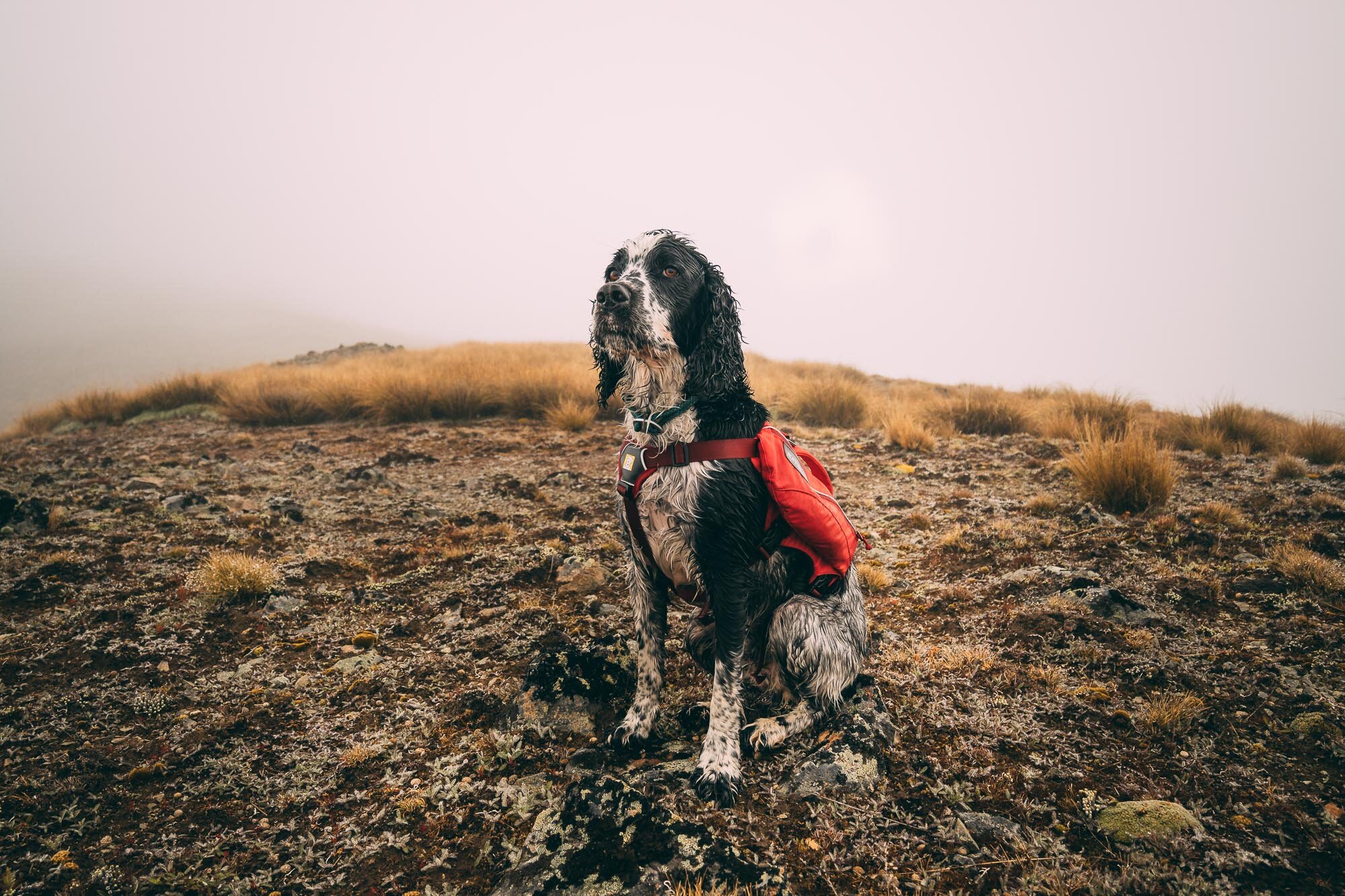
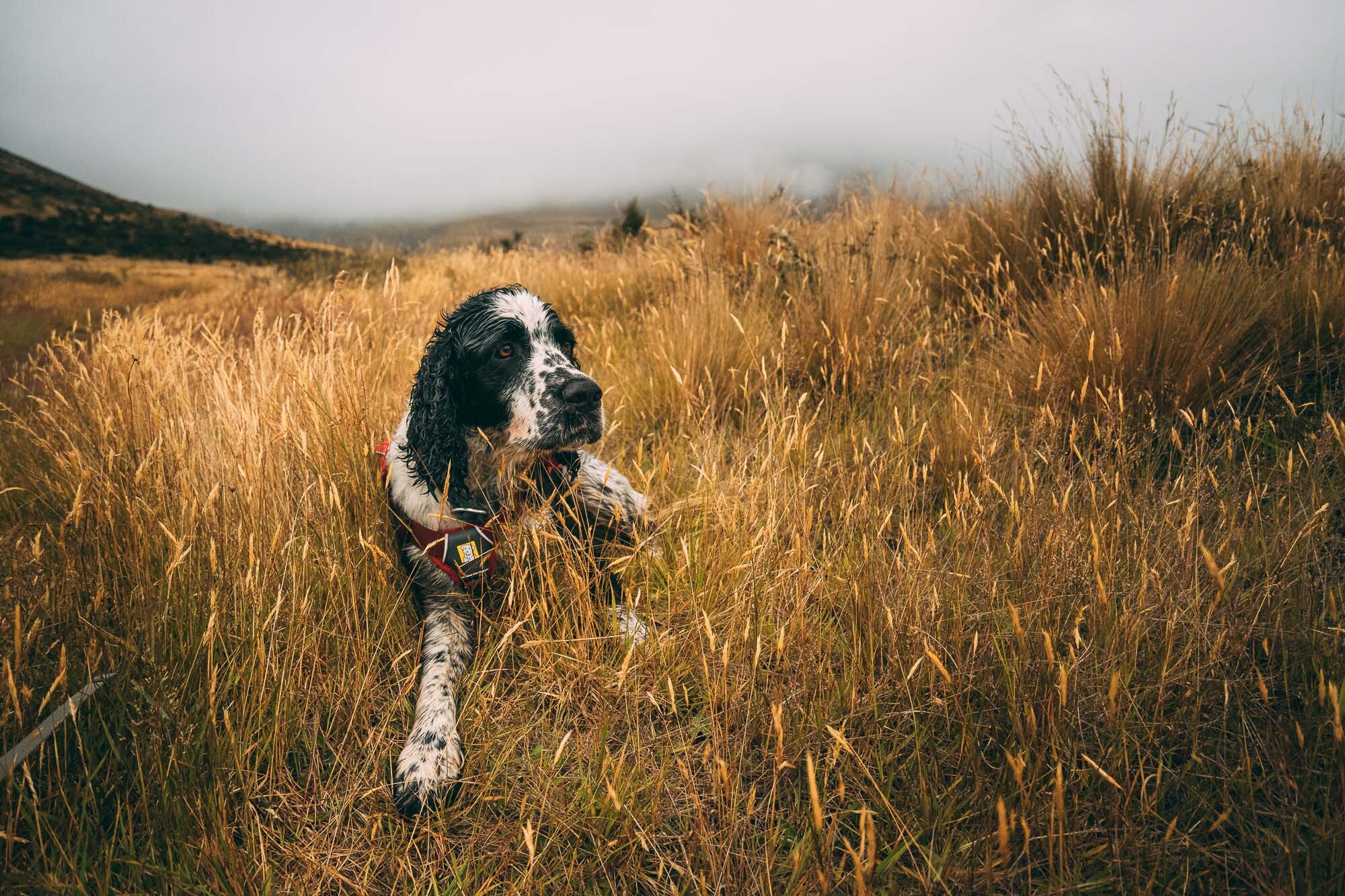
Ominous weather and a wet dog.


The fleeting moments when we thought that the sun might burn off the clouds.

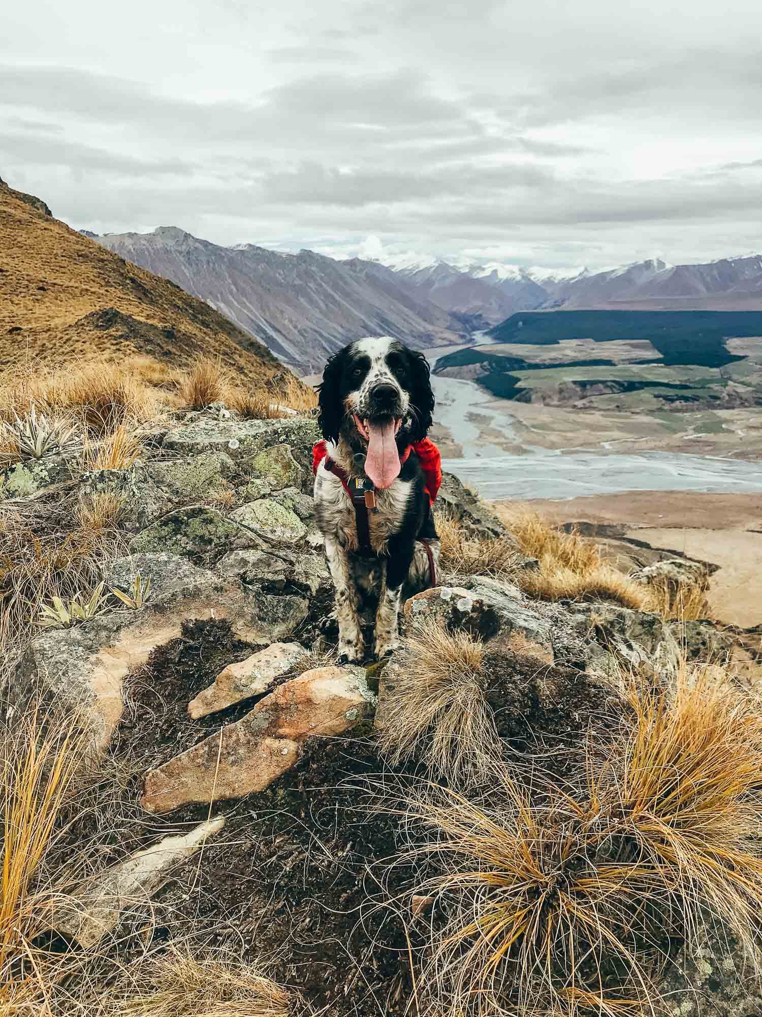
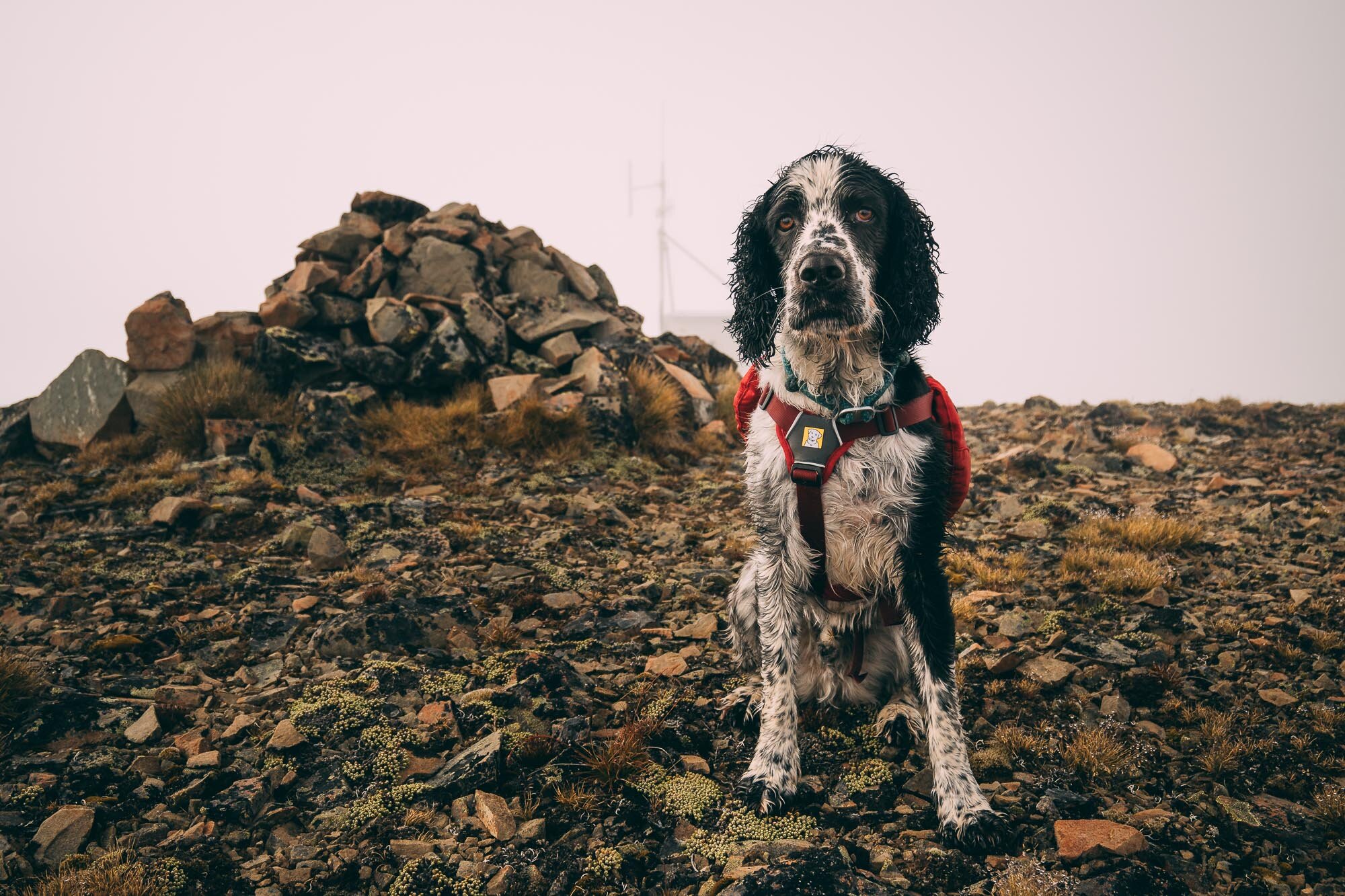
A very wet Charlie at the summit, and at a false summit as well.
This is how it looked on the way down. Note how hard it was to spot your way in the top left corner. Once we came out below the clouds the descent was a lot more straight forwards.


This is a pooped doggo from hiking nearly 21km. By the end, when I would stop to take a photo, he would have a little rest.

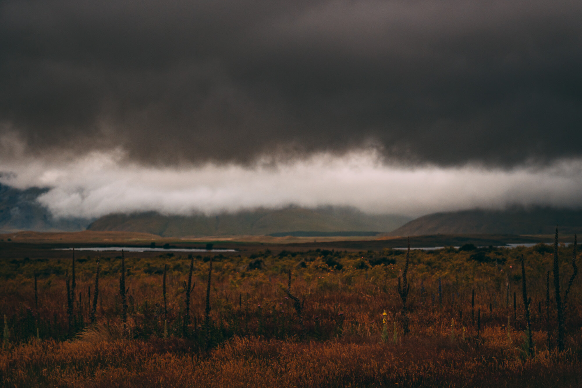
On the hike out of attempt 2, the bad weather mixed with the setting sun to create some immense images which I love. It was definitely a mission, each and every time, but the ruggedness and epicness of the area makes this one well worth it if you’re up for an adventure off the beaten trail.