Mt Dumblane, Canterbury, New Zealand

MT DUMBLANE
NORTH CANTERBURY
North Canterbury
Easiest way to do it is to park at the top of Jacks Pass, there’s a poled route to the west (opposite side of the road to Isobel) don’t go down the Chatterton RIver track.
Time:
2.5 hours return.
1.5 hours up, ! hour down. With dog, photos and a little stop at the top.
Difficulty.
Easy.
Dogs:
Under effective control
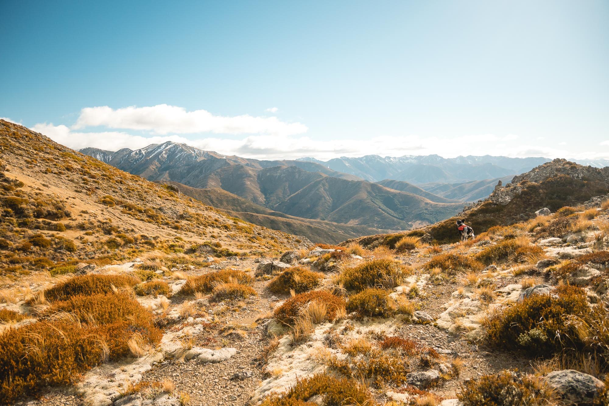
Great alternative to Mt Isobel, same great views over Hanmer Springs and surrounds. Weather was clear but extremely windy, and some darker clouds rolled in by the end.
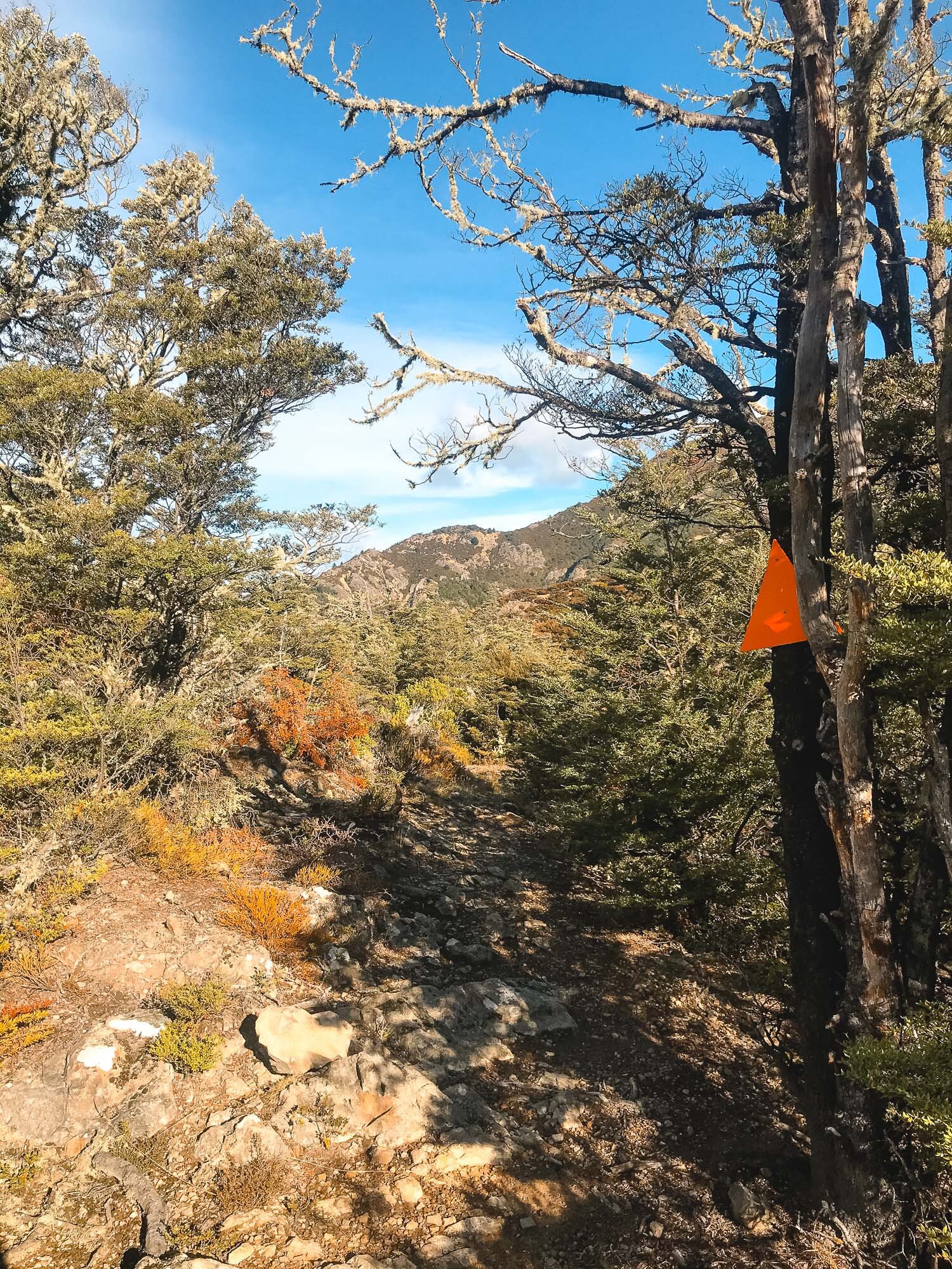
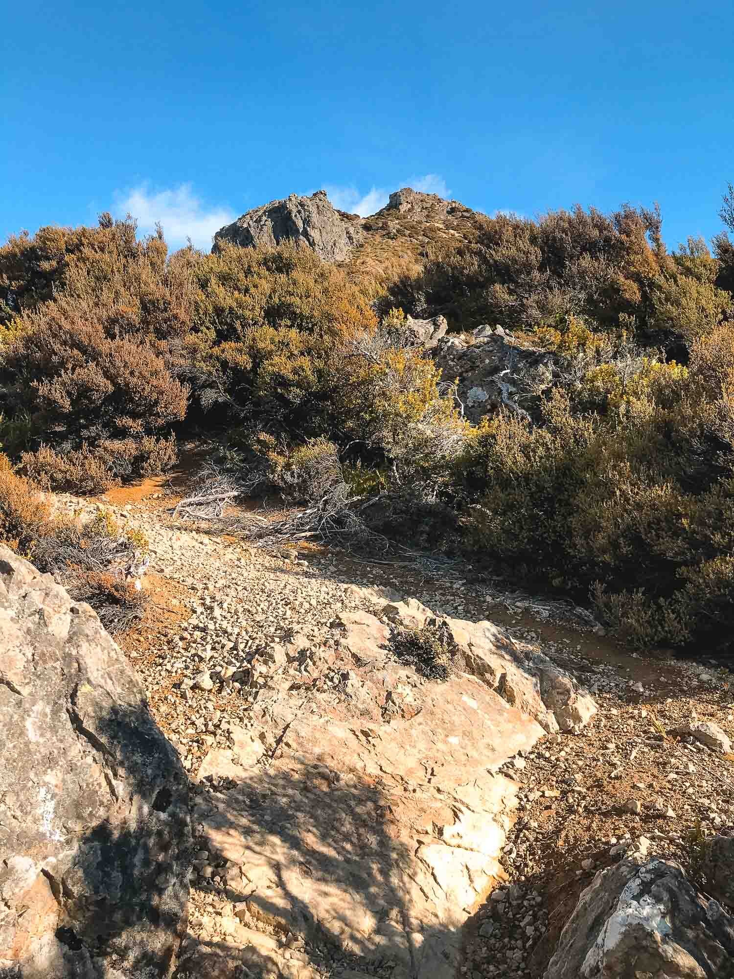
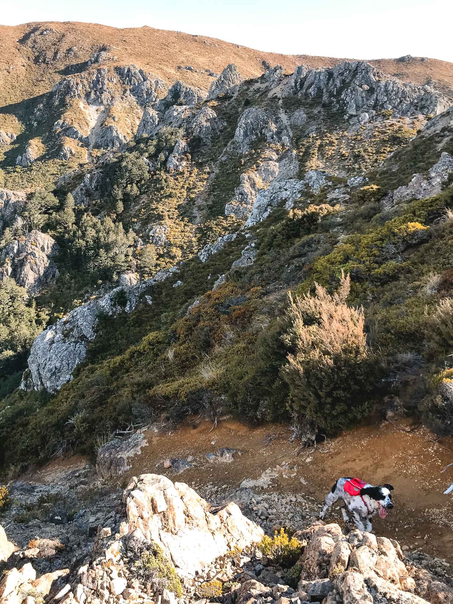
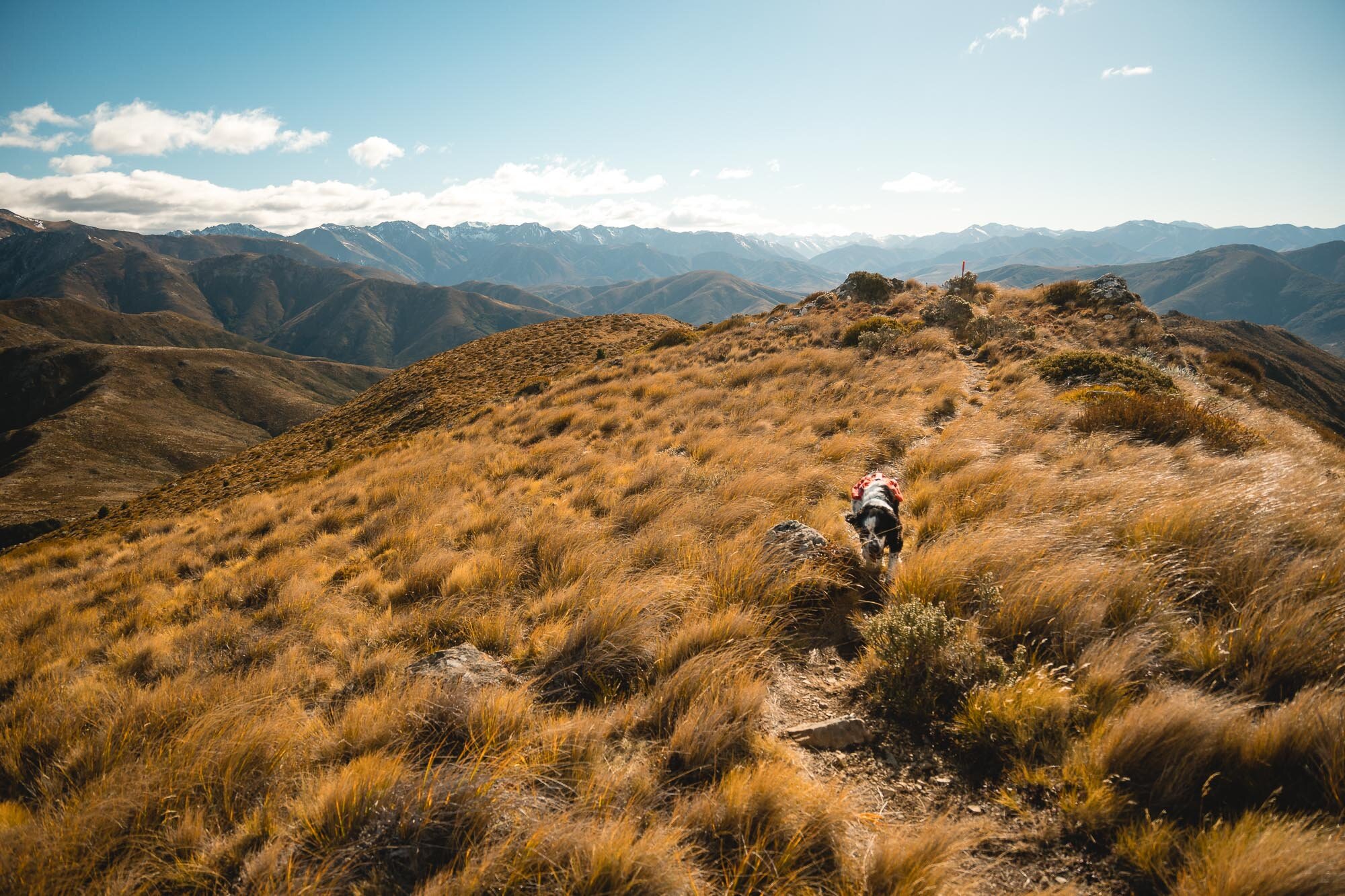
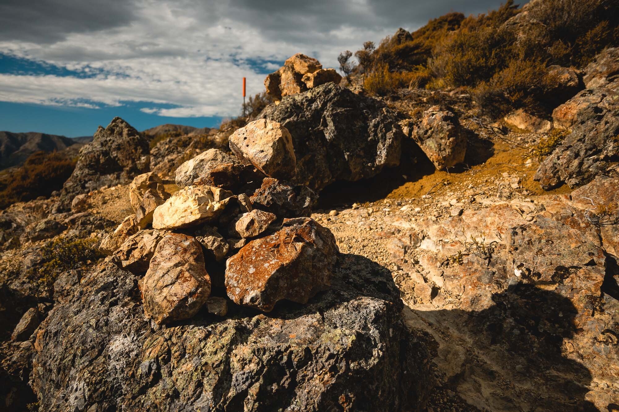
Easy to follow this track for the most part, it’s new but wearing in well. We did it from Christchurch, but could definitely do it by staying in Hanmer Springs, then end the day with a few cold ones in town followed by a soak in the pools. That’d be the way to do it.
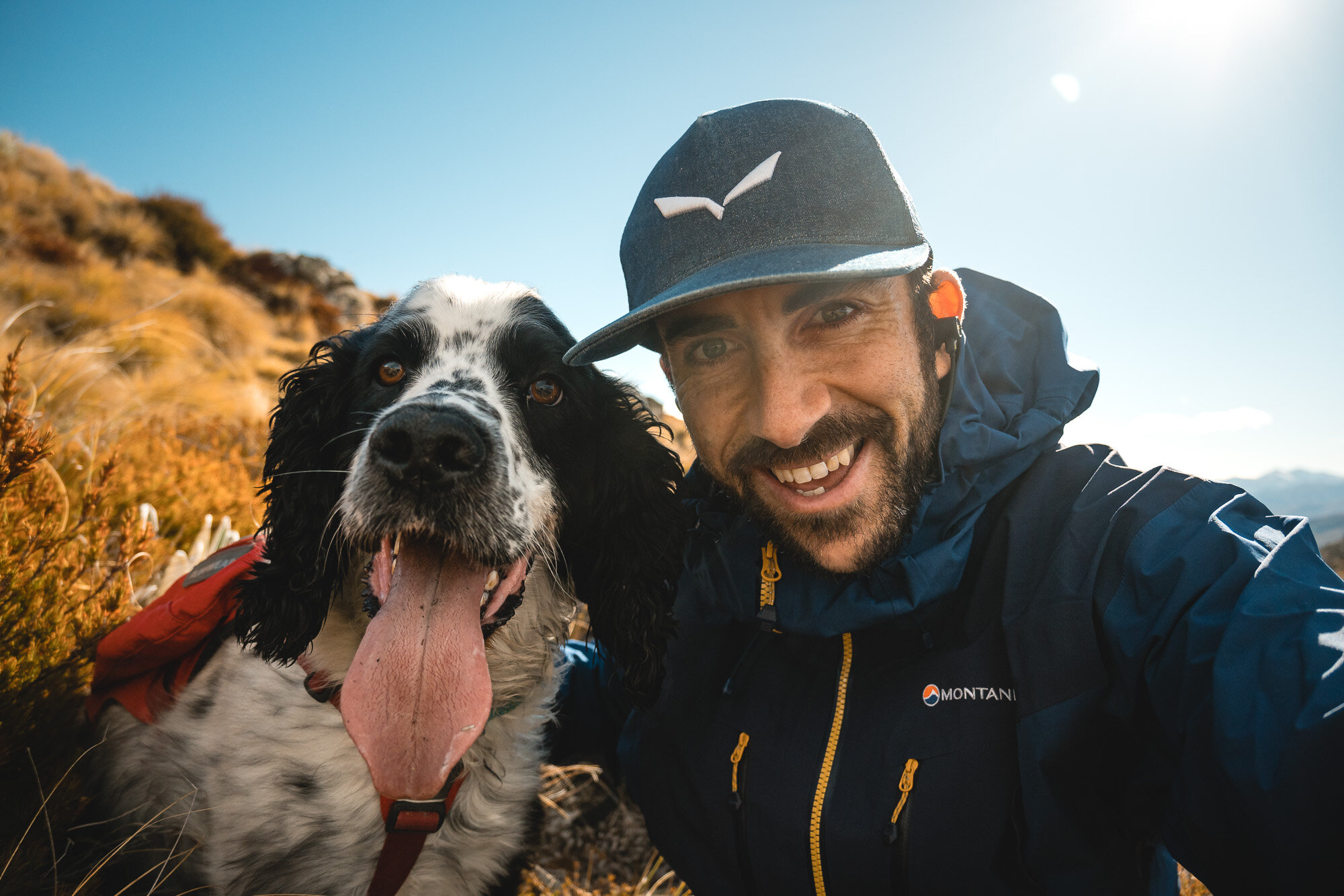
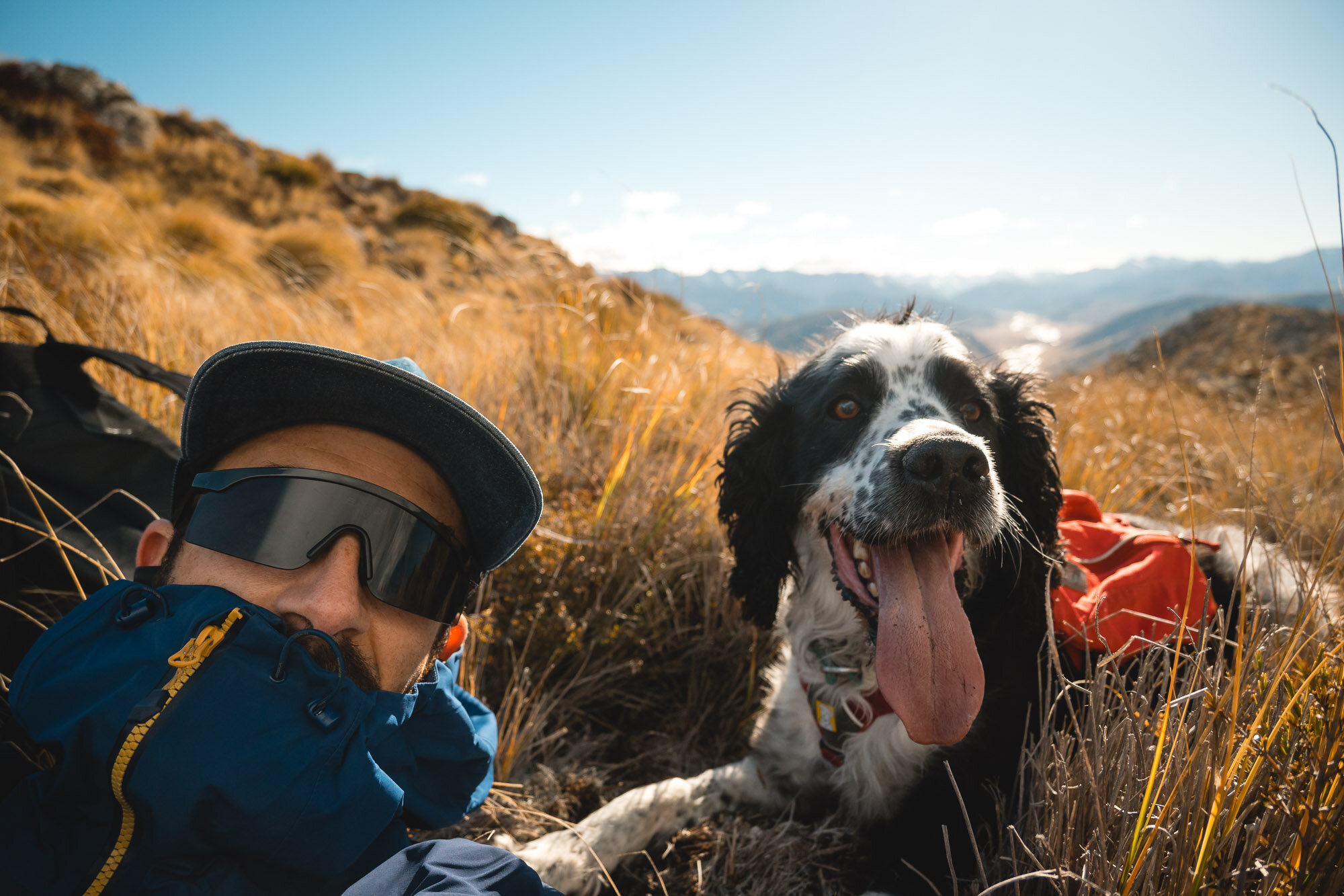
Starting you off with iPhone images (whilst walking) and proper camera snaps from the top.


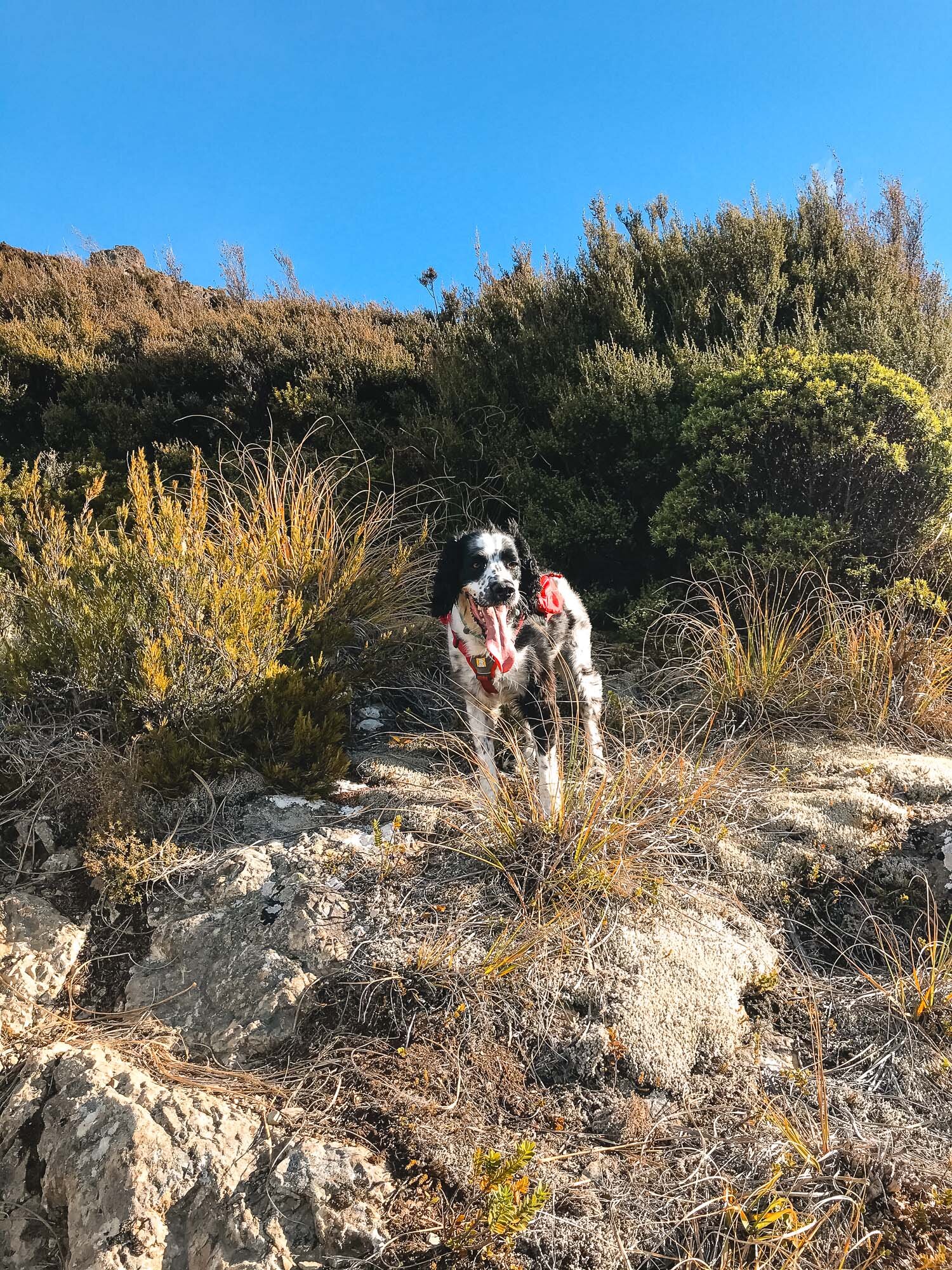

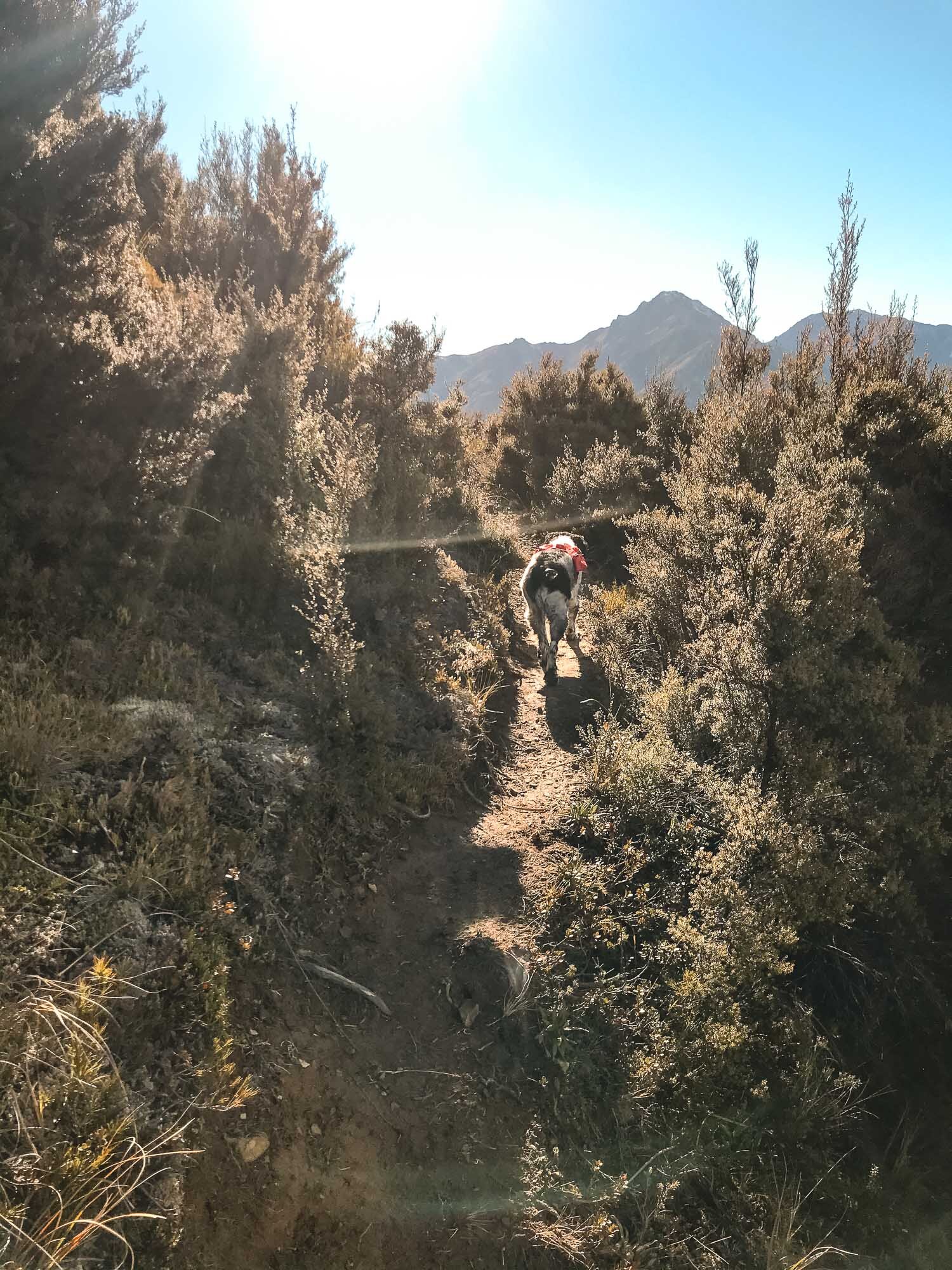

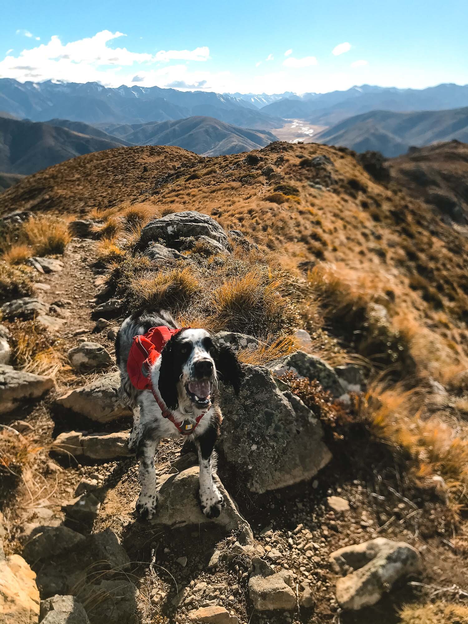
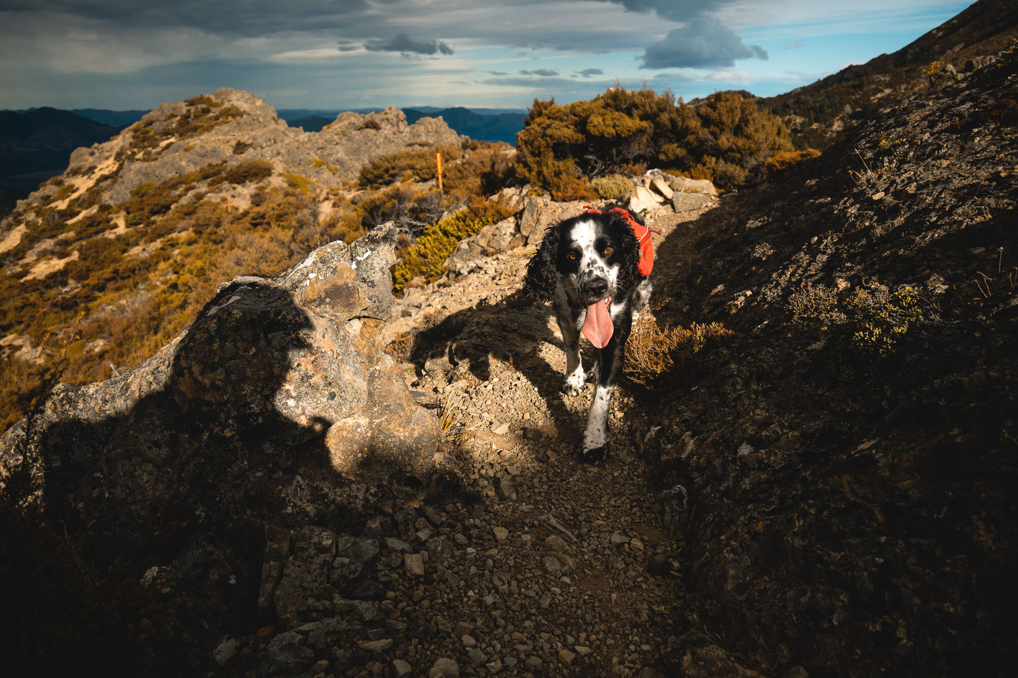
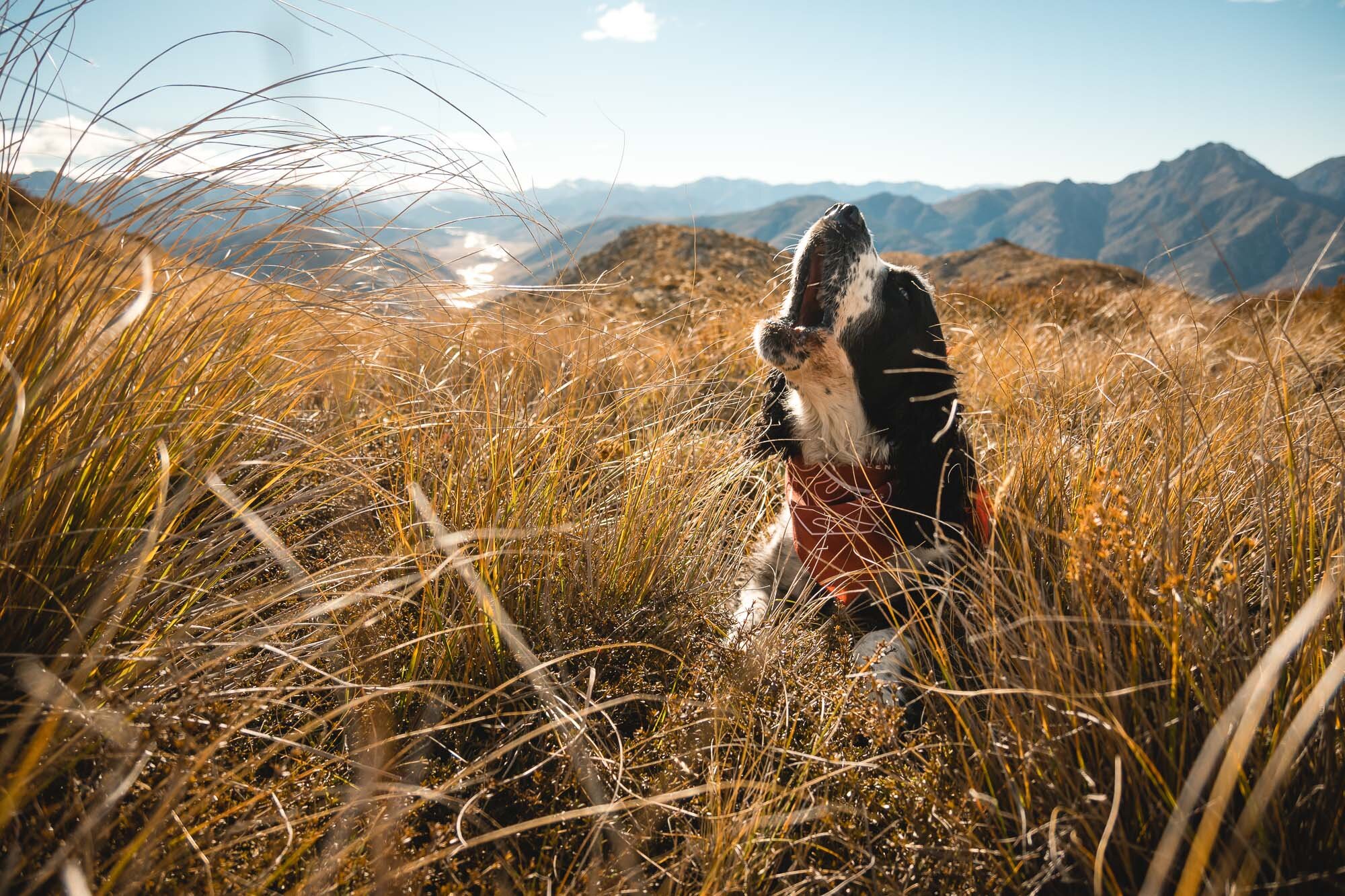
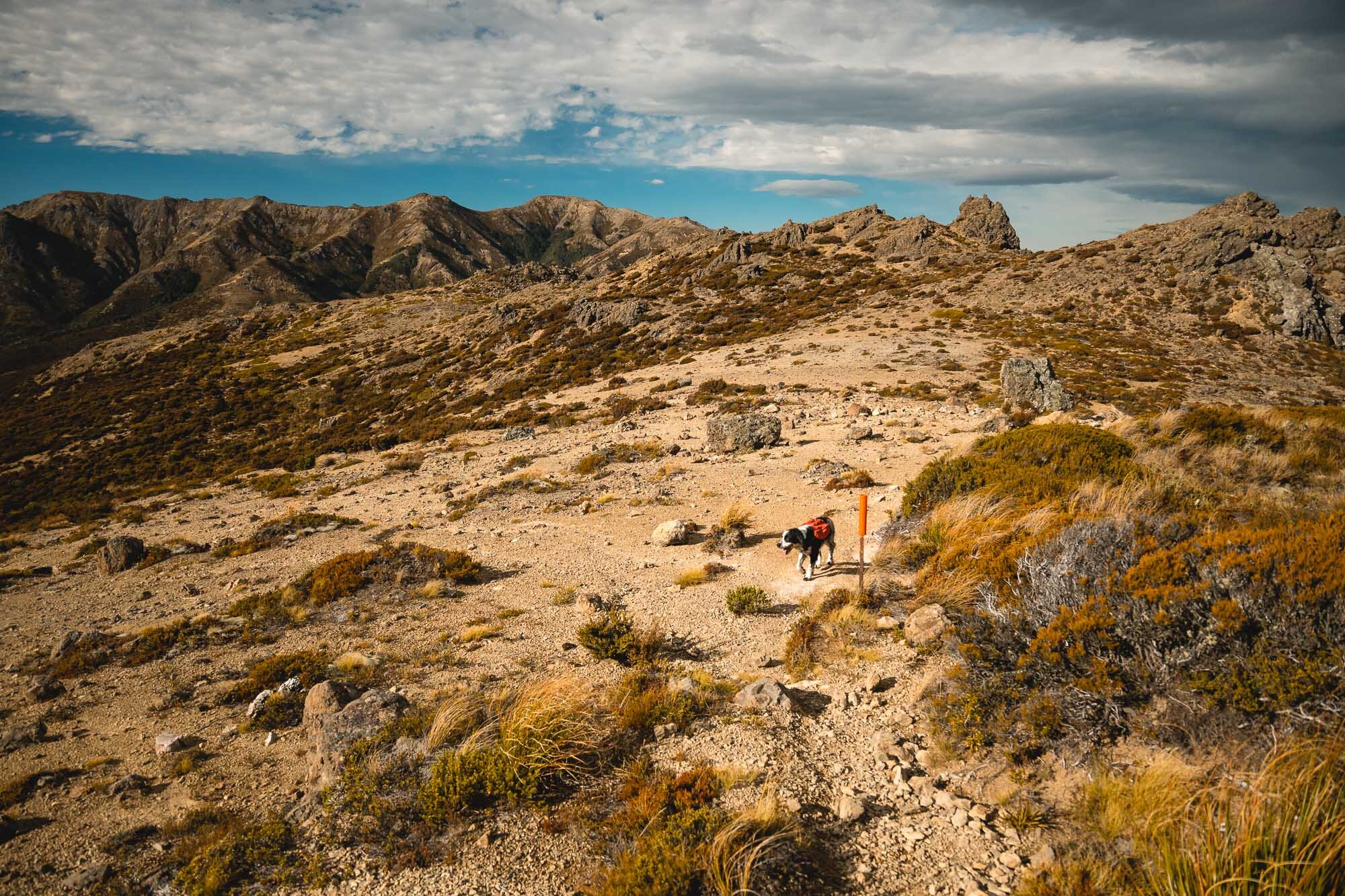
As usual Charlie barked a lot in the wind.
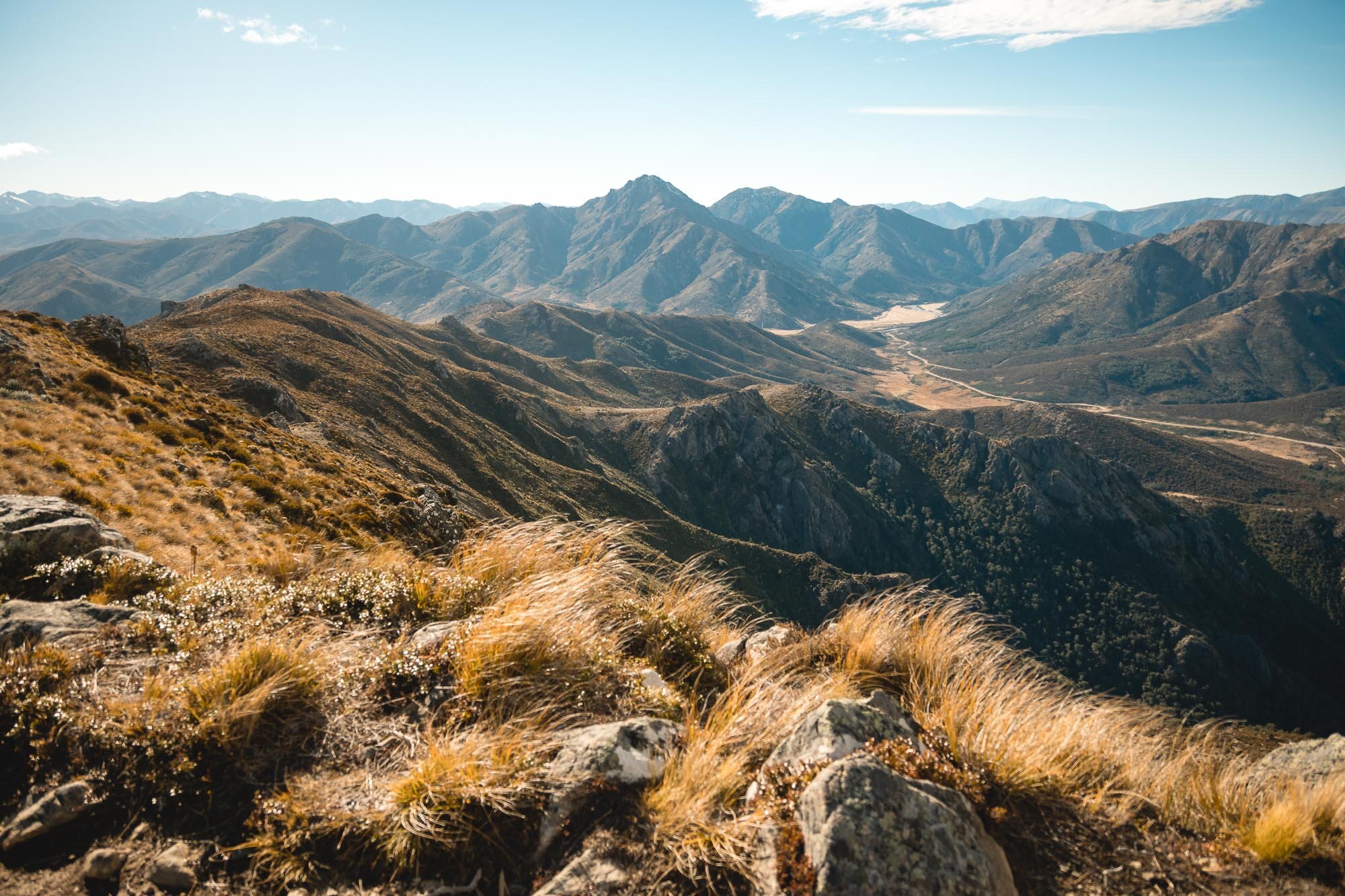
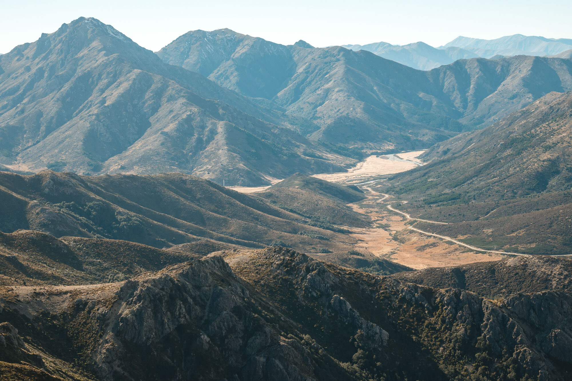
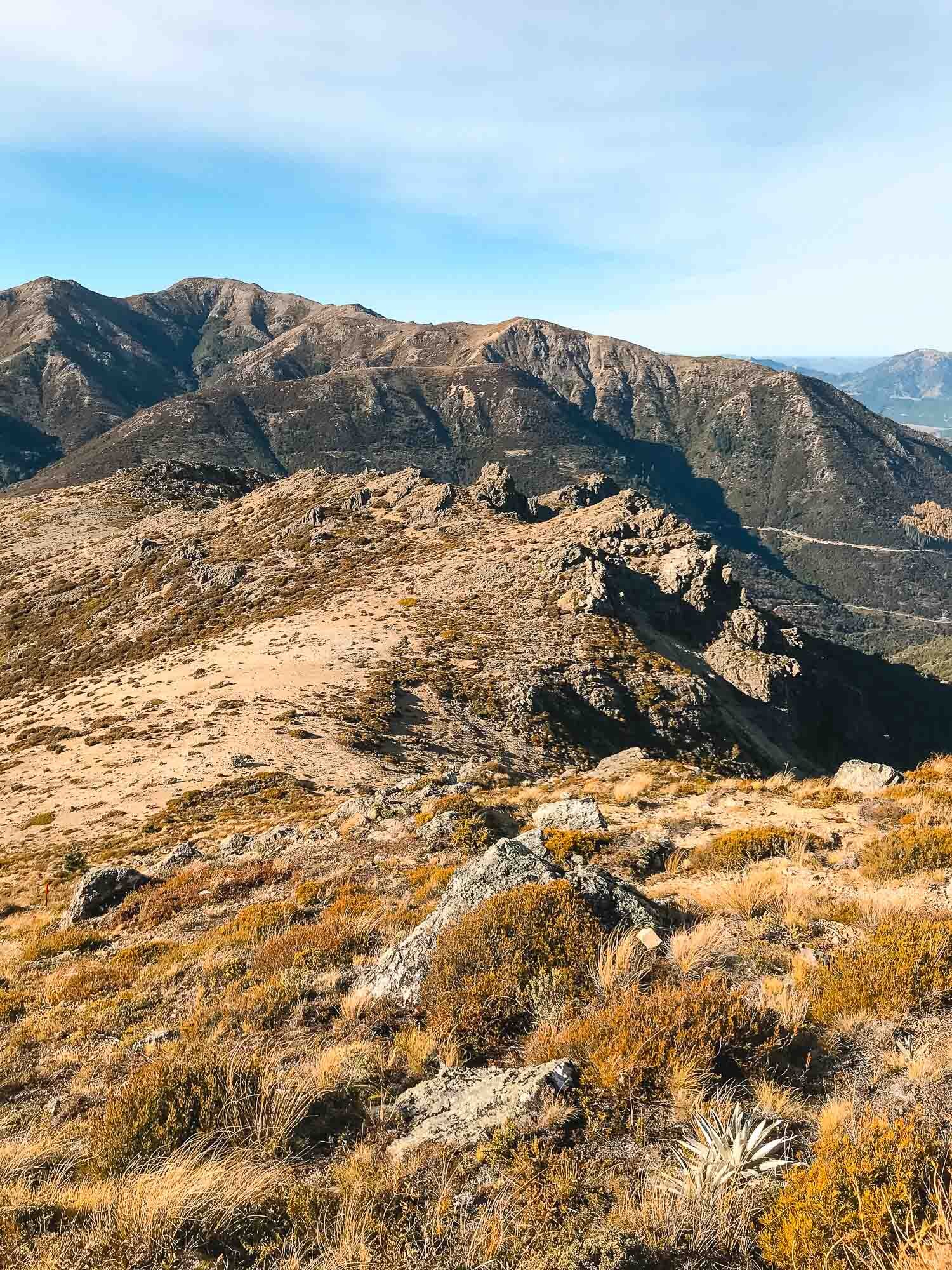
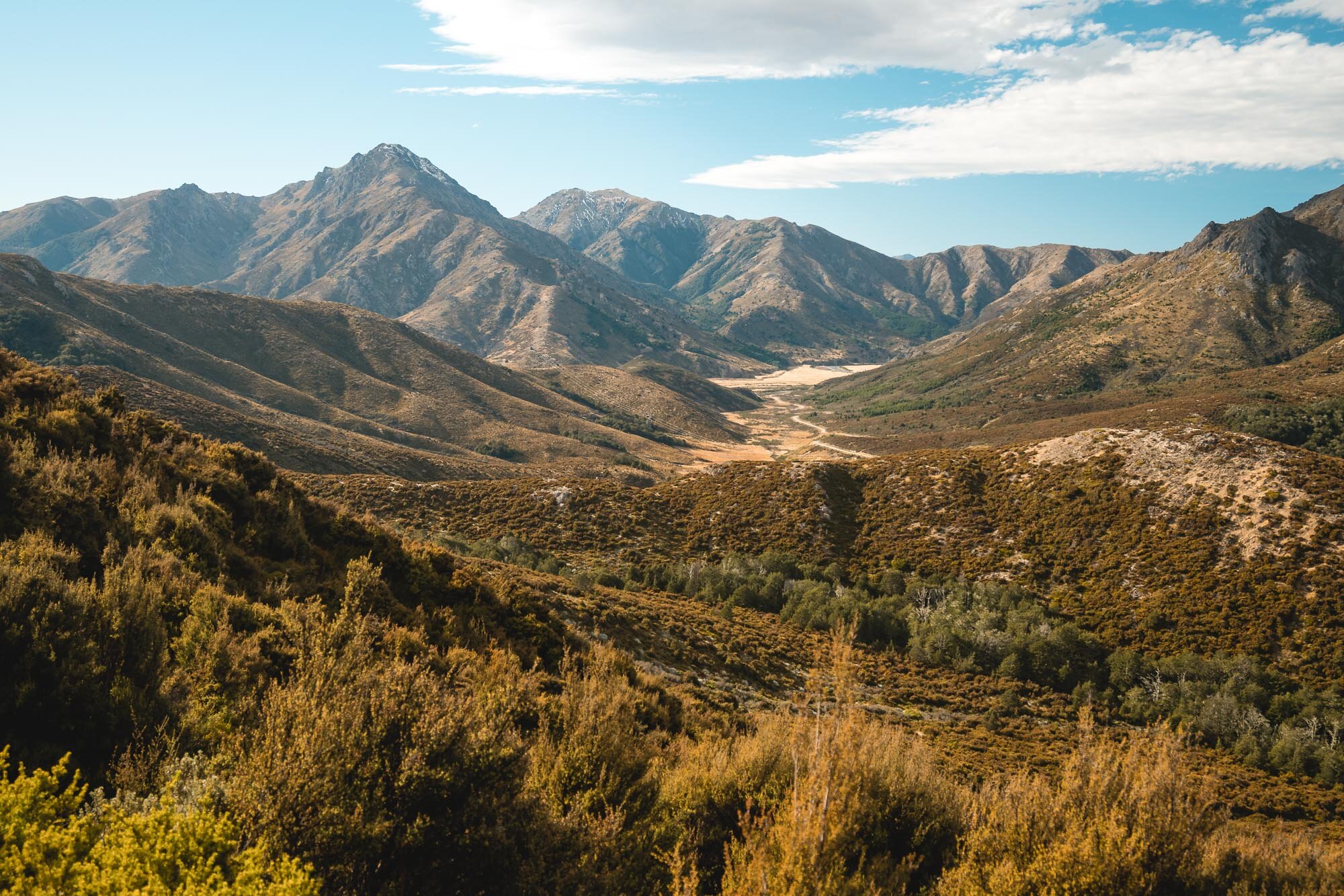
Views back over the Clarence Valley from a different vantage point than Mt Isobel.
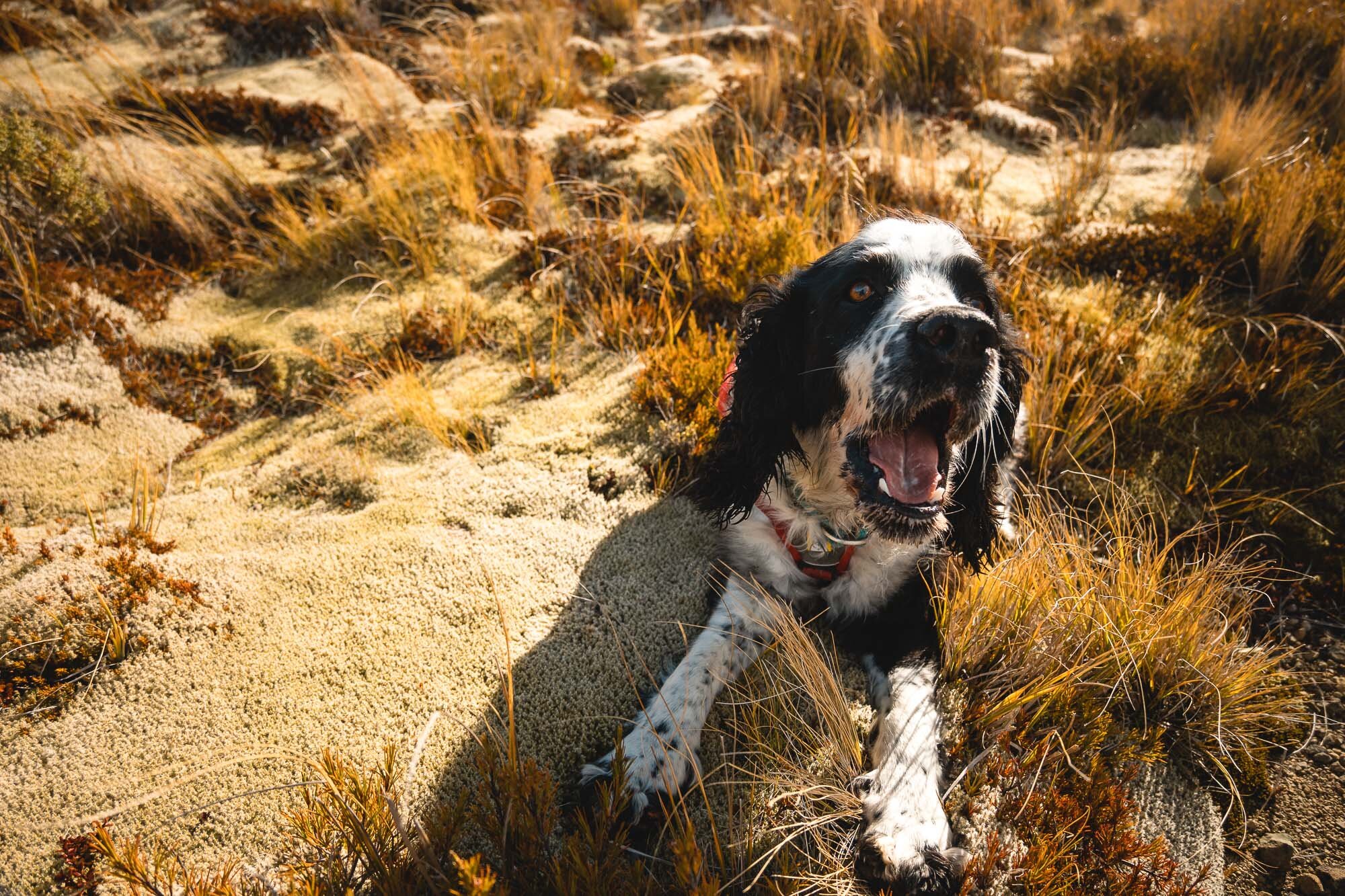

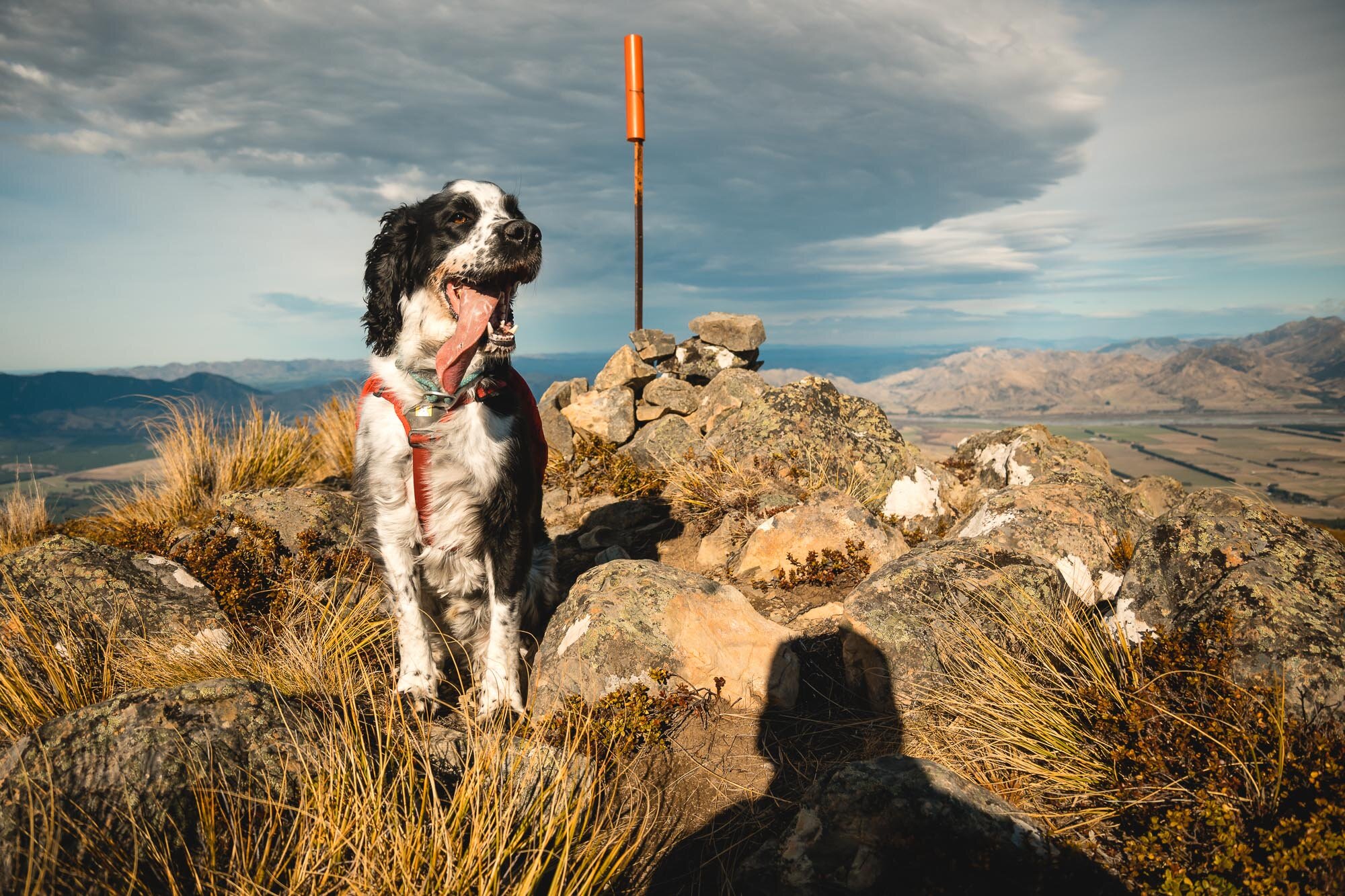
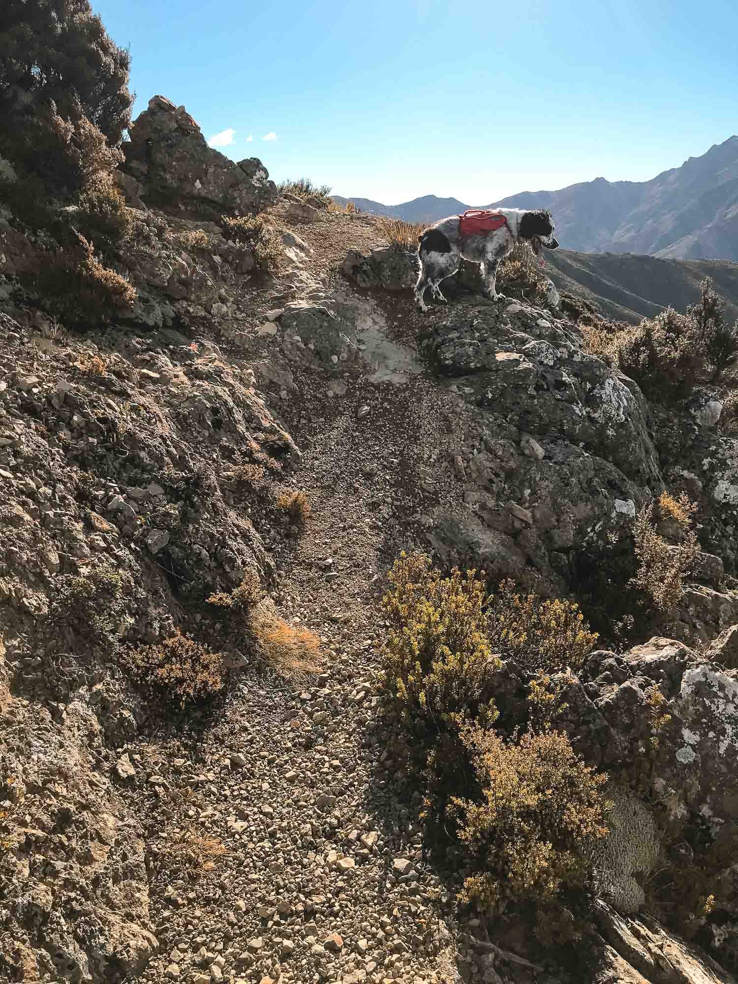
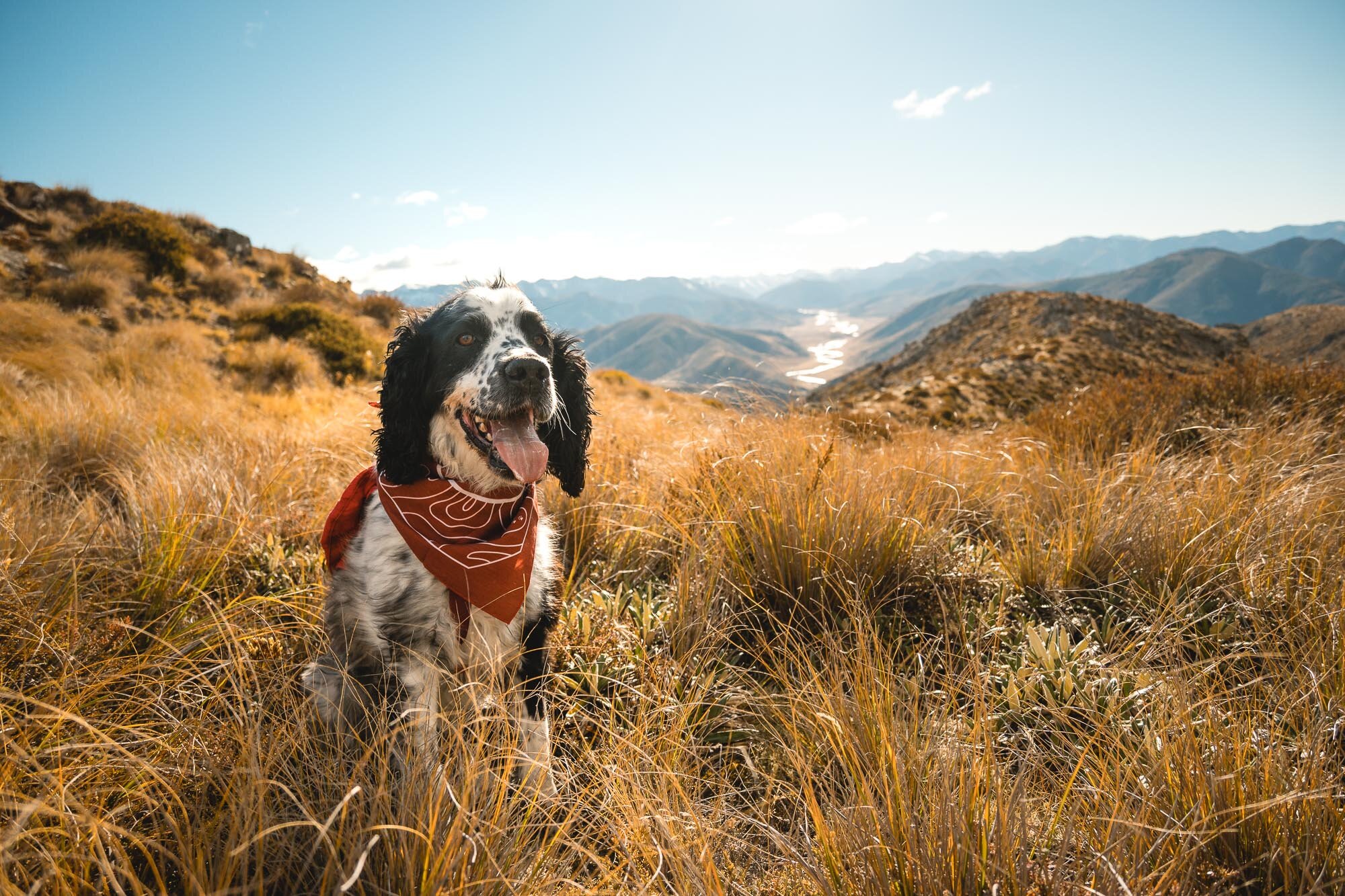
Another summit for Charlie. Pictured below wearing his Further Faster Mountain Dog Challenge Bandana,
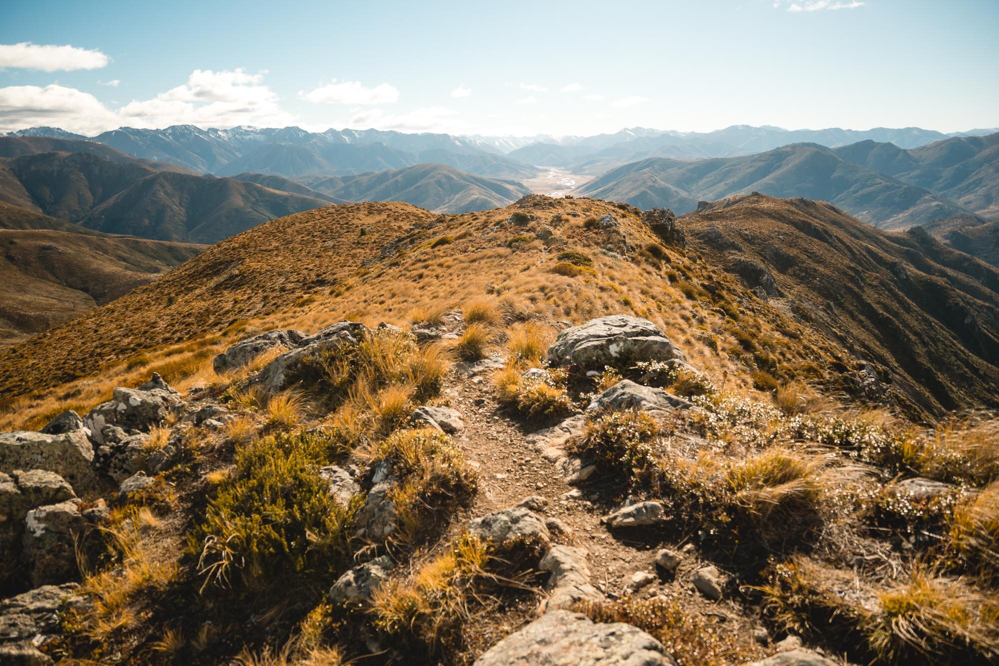
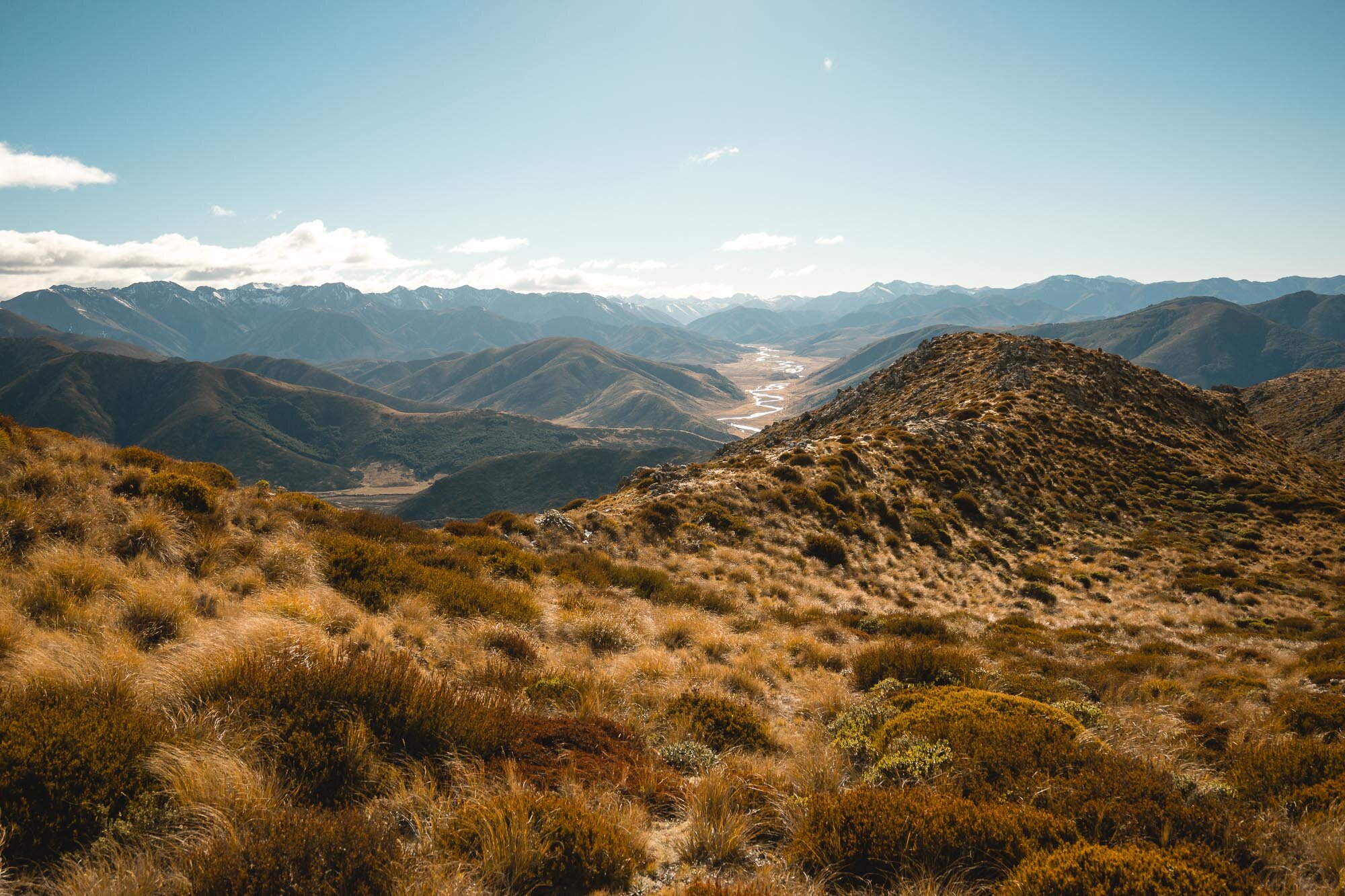
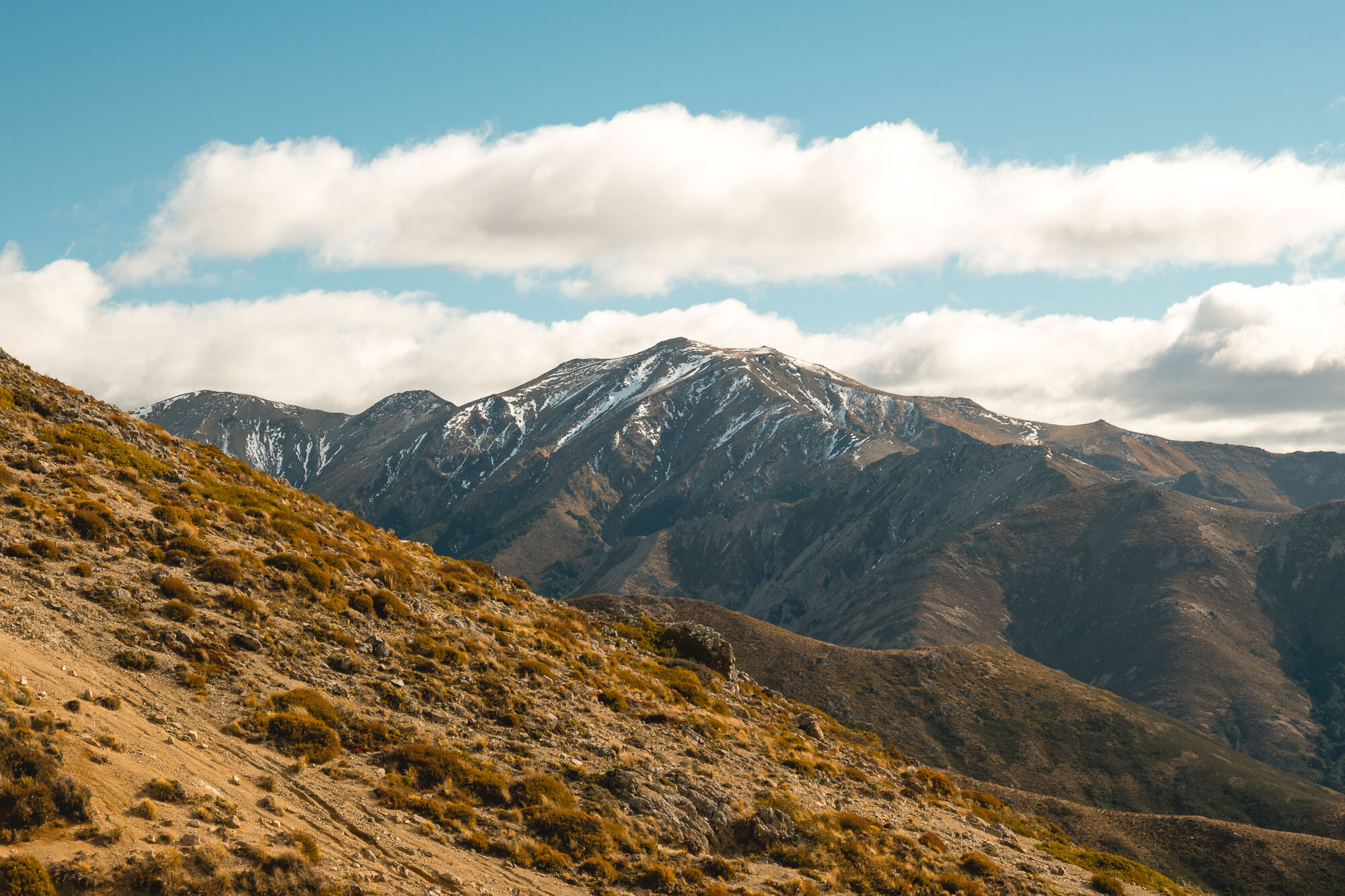
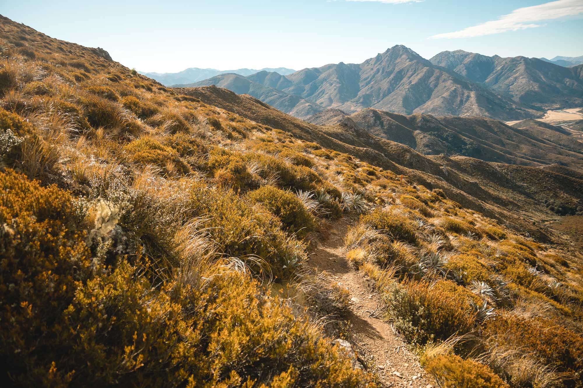
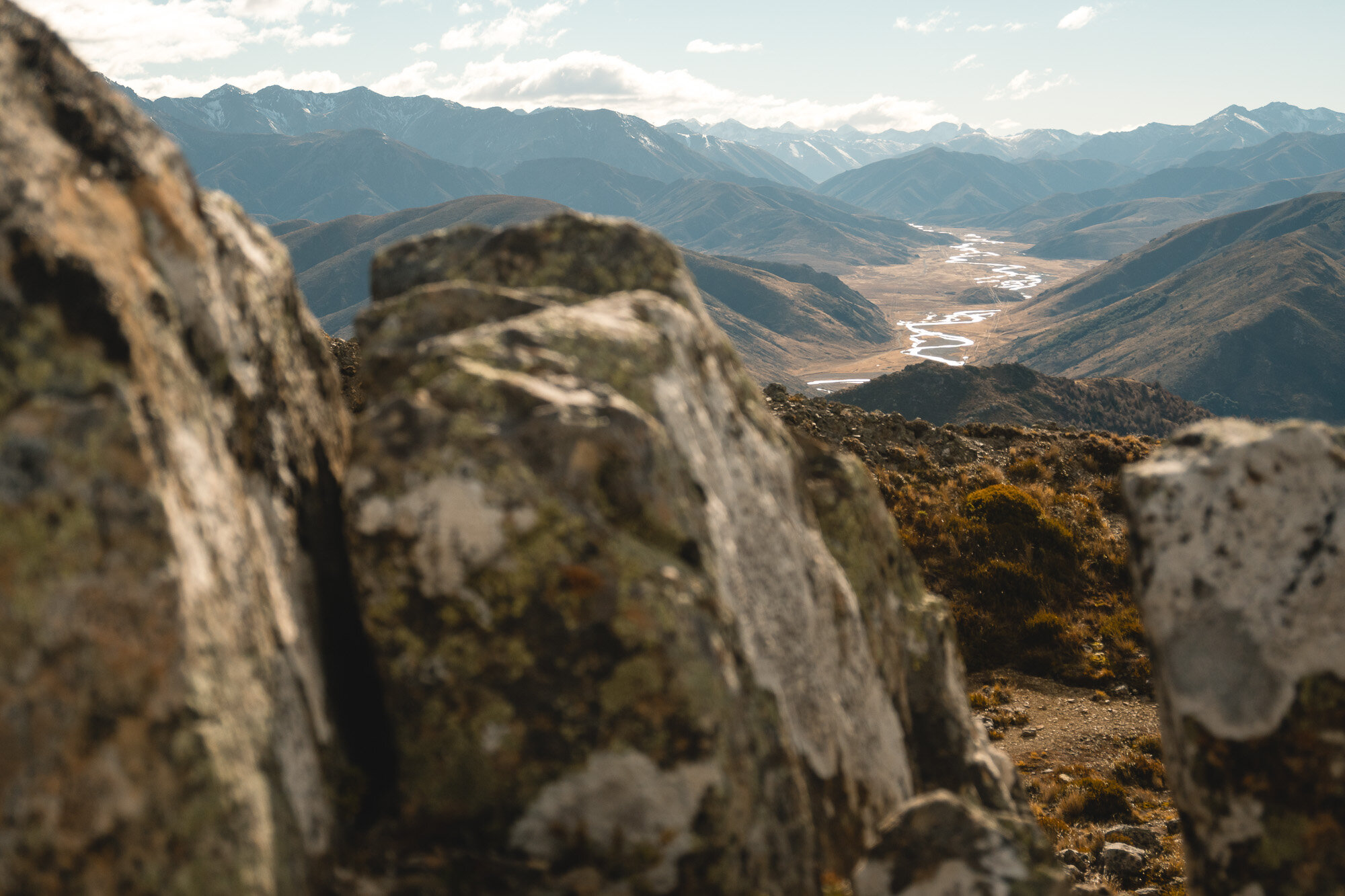
Views from the top.
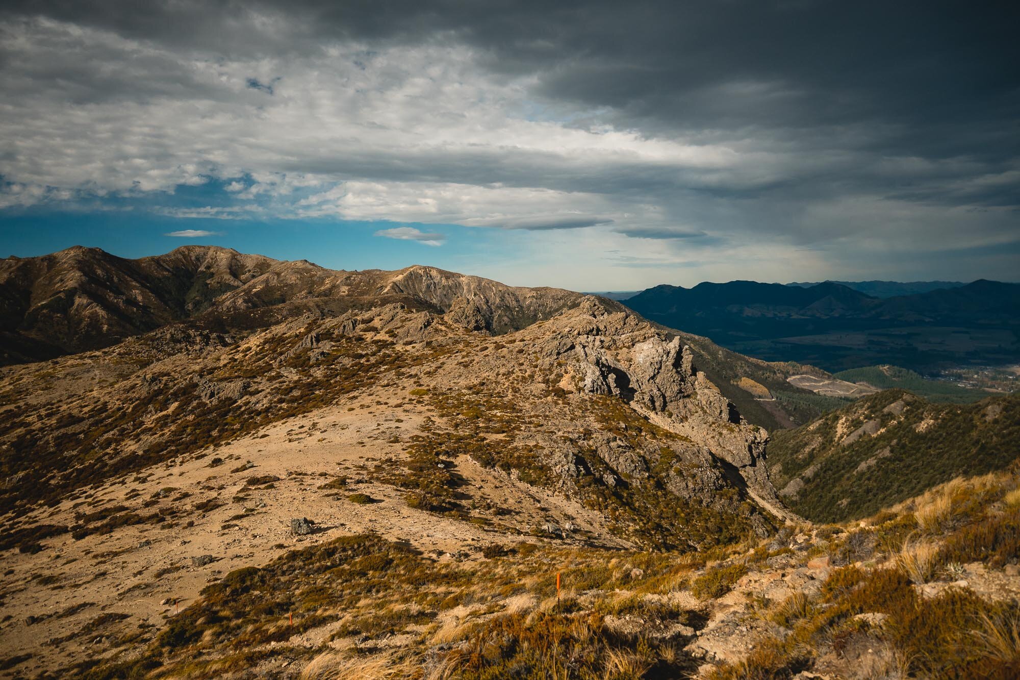

Some clouds came in and started throwing shadows all over the place.