
Rabbit Hill, Canterbury, New Zealand

RABBIT HILL
Mid Canterbury
Location:
Mid Canterbury
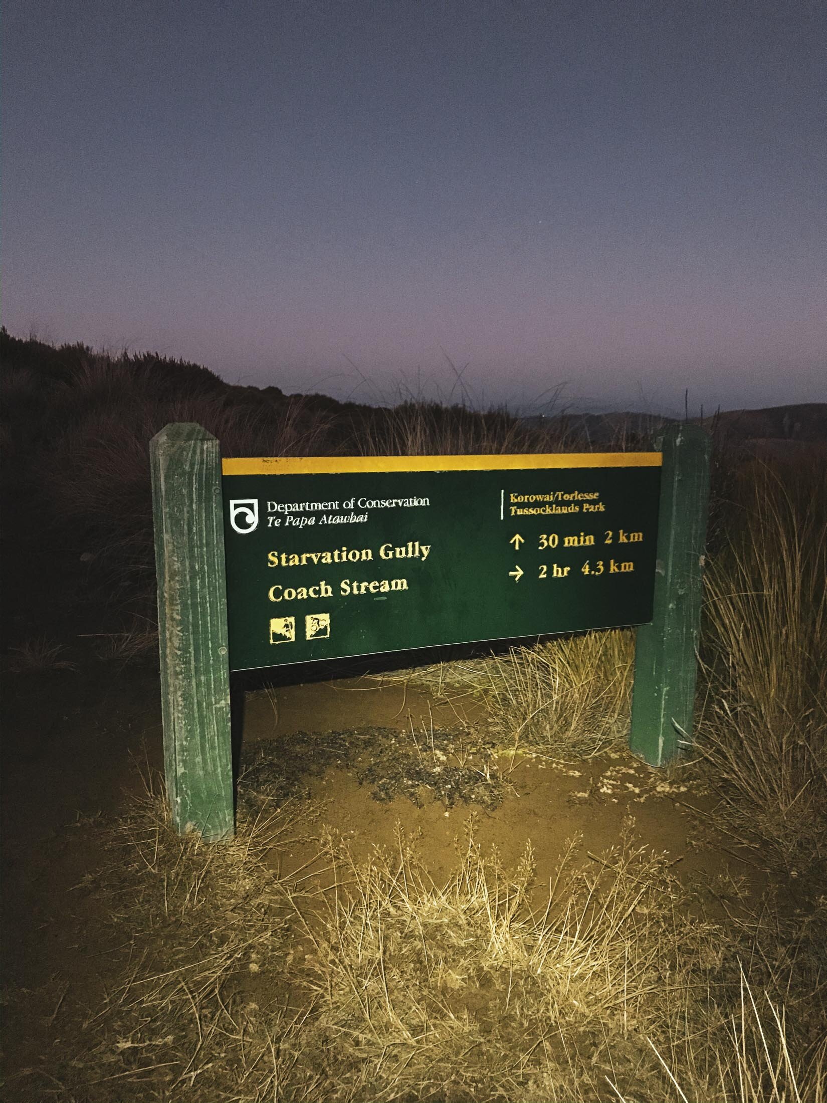
A couple of options here, I chose to come up from the Starvation Gully entrance.
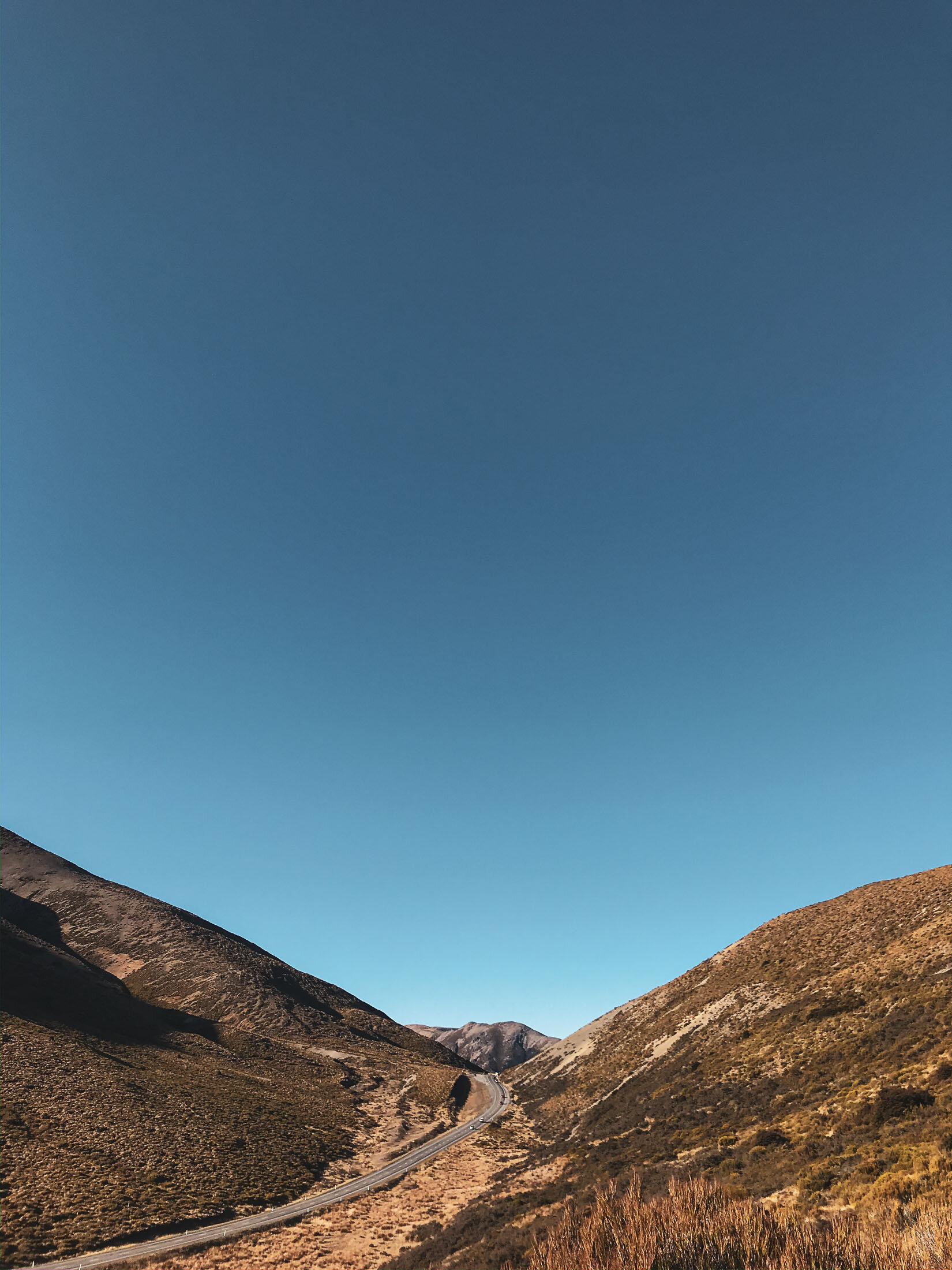
Looking for the beginning of the ‘Trig M’ route. These coordinates will take you to the exact place to park: -43.294531, 171.726652
Time:
4.5 hours return.
2.5h up and 2h down. The track undulates so there are uphills both ways.
Difficulty.
Easy (However no route markers past ‘Trig M’)
Dogs:
Under effective control.
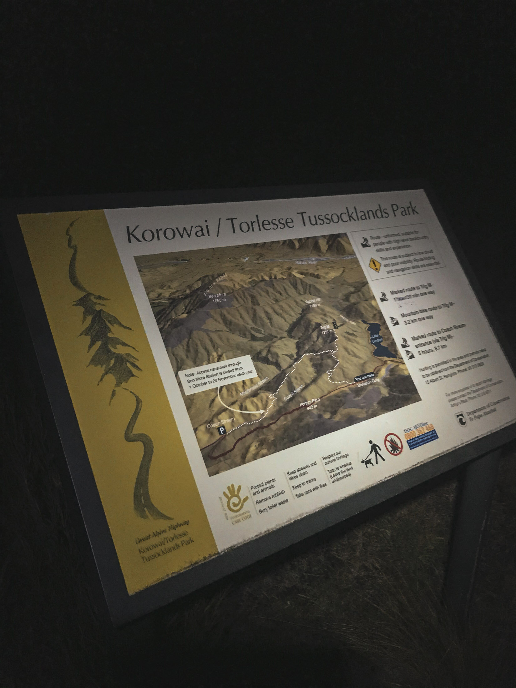
There are two variations available for access to this spot. Starvation Gully from the Lake Lyndon side, or Coach Stream for a longer walk from the Springfield side. I chose the Starvation Gully route for it being more direct.
The walk itself is not too hard or steep, mainly shingle and farm track as far as ‘Trig M’ and then you’re choosing your own route after that as you make your way to Rabbit Hill. There are a few pinchy climbs, but nothing too strenuous, especially if it’s dry like it was for us. The ‘Trig M’ peak is actually higher at 1251m than Rabbit Hill at 1198m.
Note: there is a muddy bog in the saddle just before you head to the summit of Rabbit hill, as you will see Charlie really liked this, but you might want to bring a towel or something for the car or tent afterward.
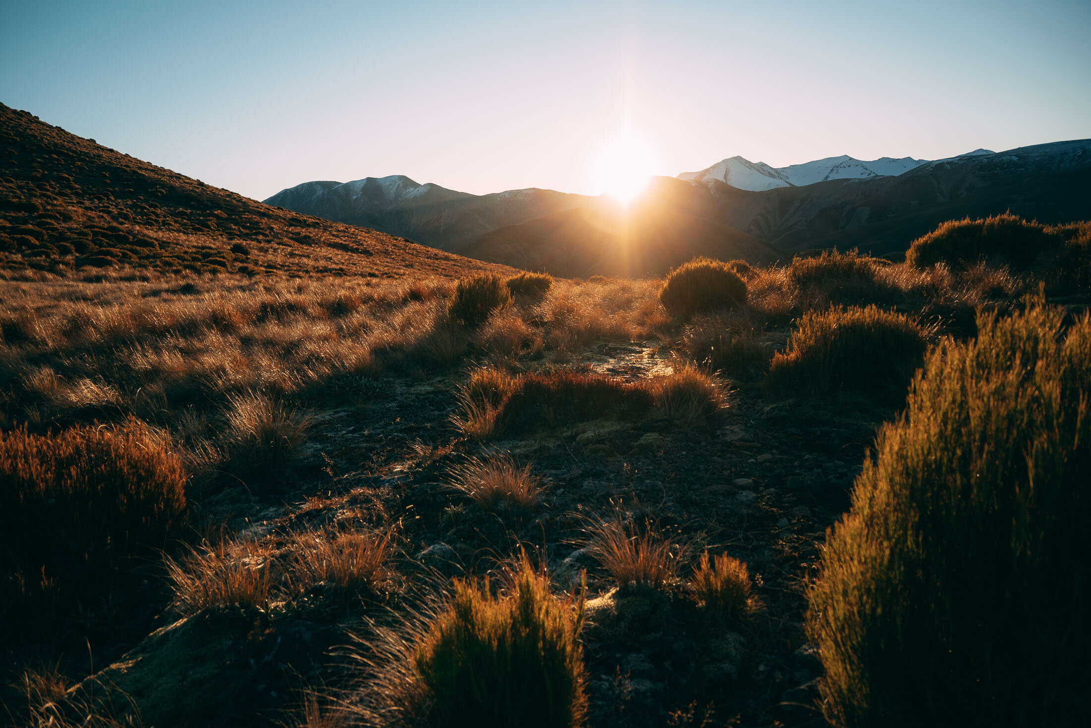
As seems to be a theme at the moment, we hiked up late in the day to stay for sunset and cruised on down in the dark. As soon as that sun drops, it gets really cold.
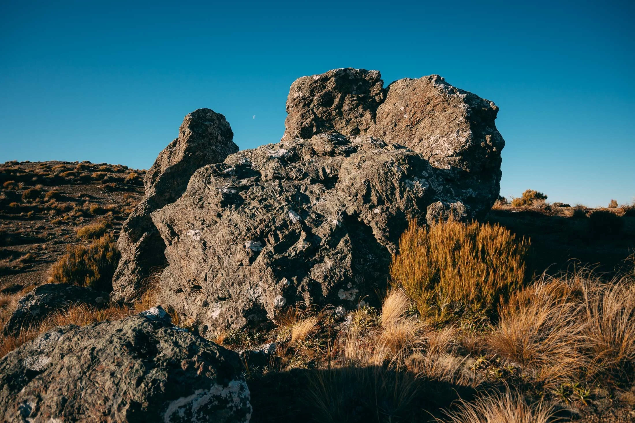
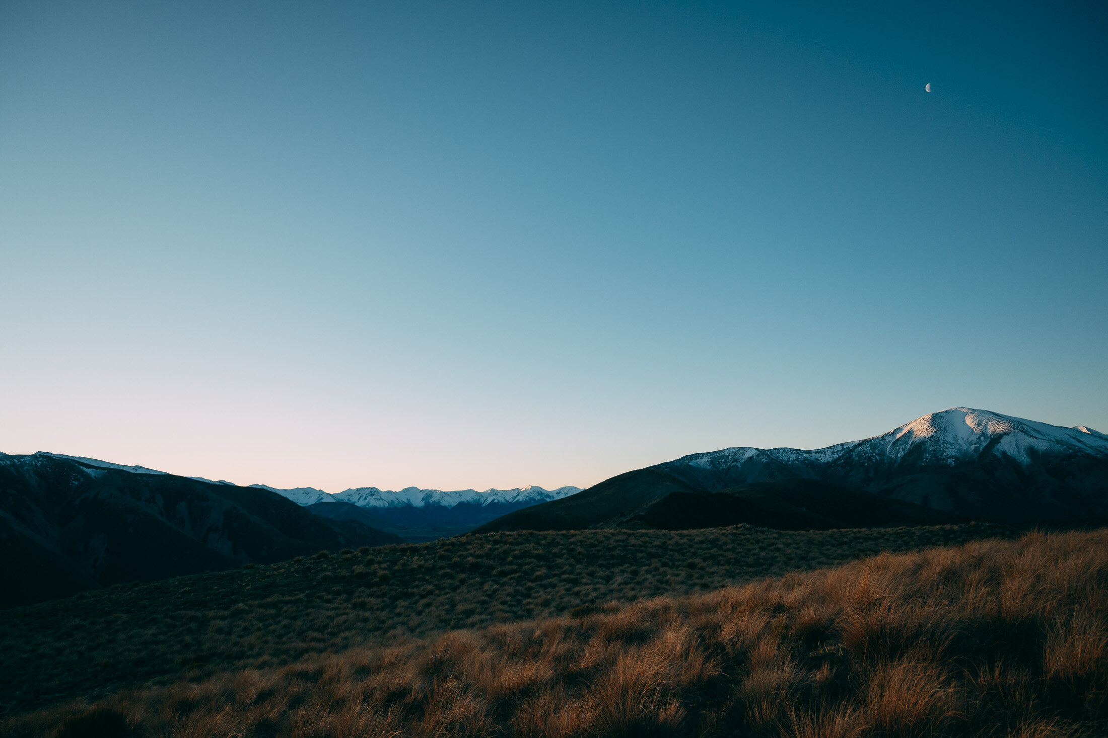
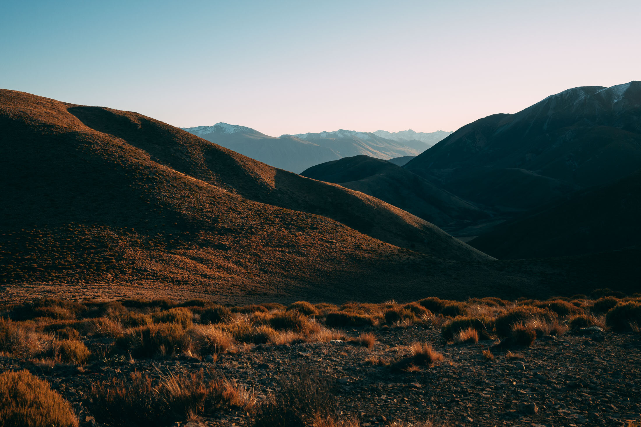
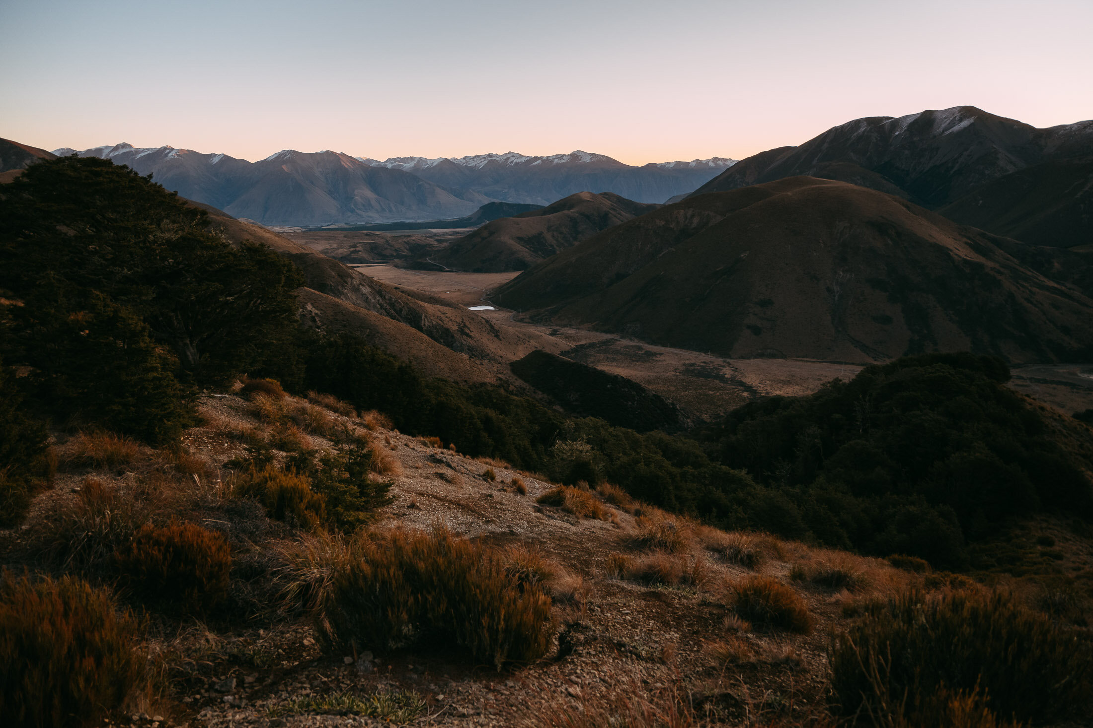
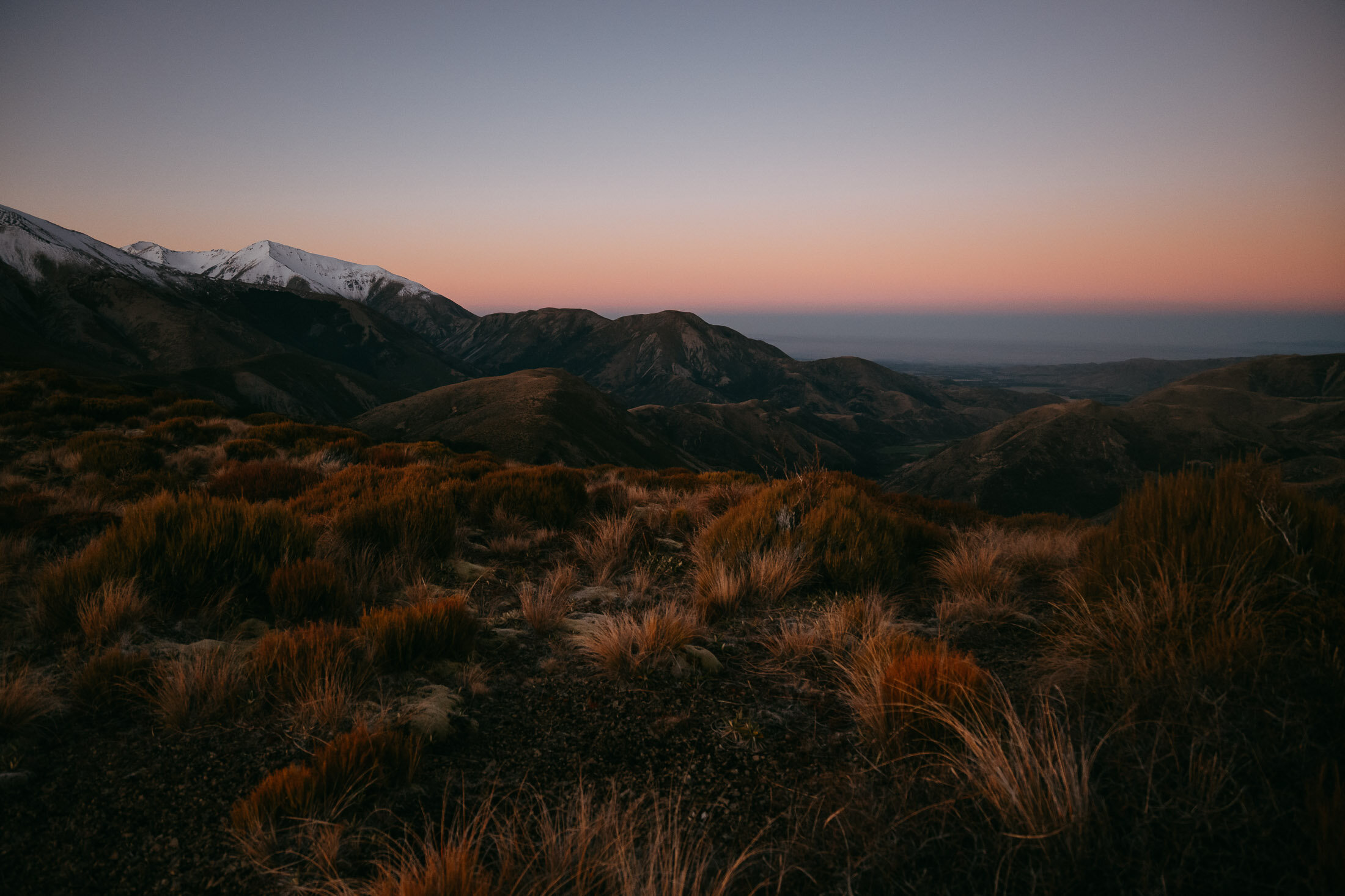
Enjoy some beautiful scenics from the top.
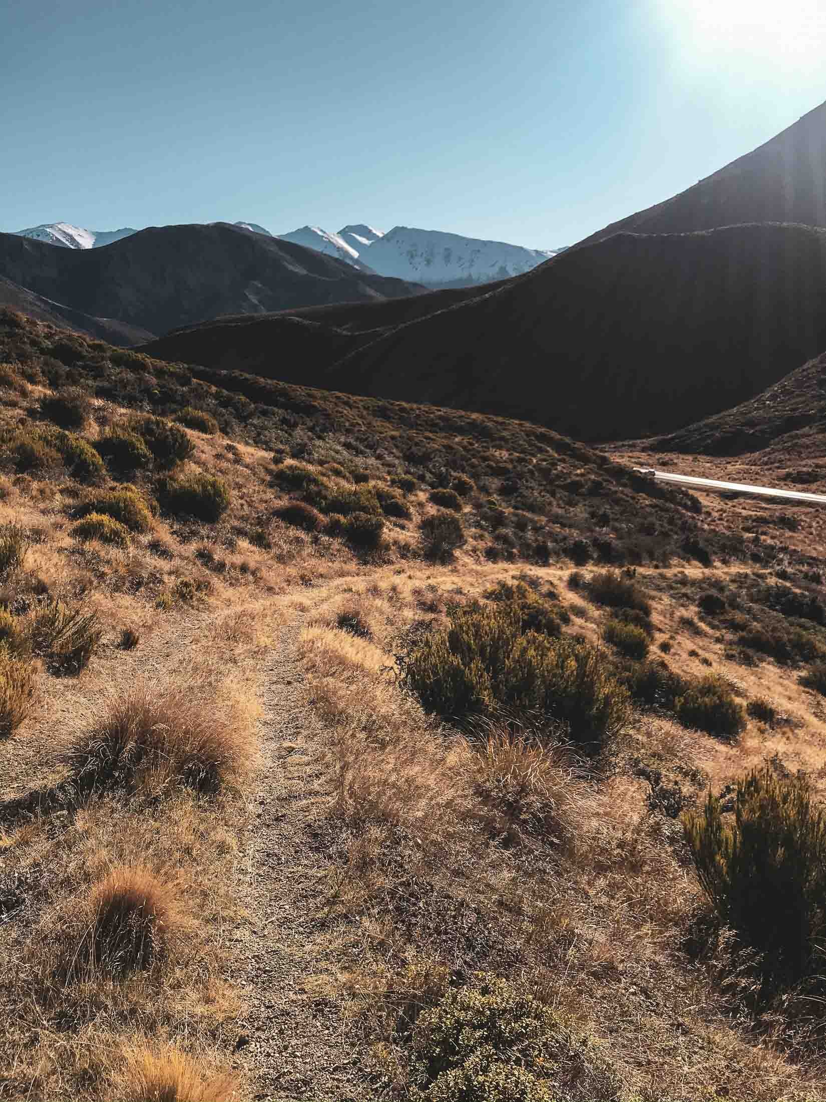

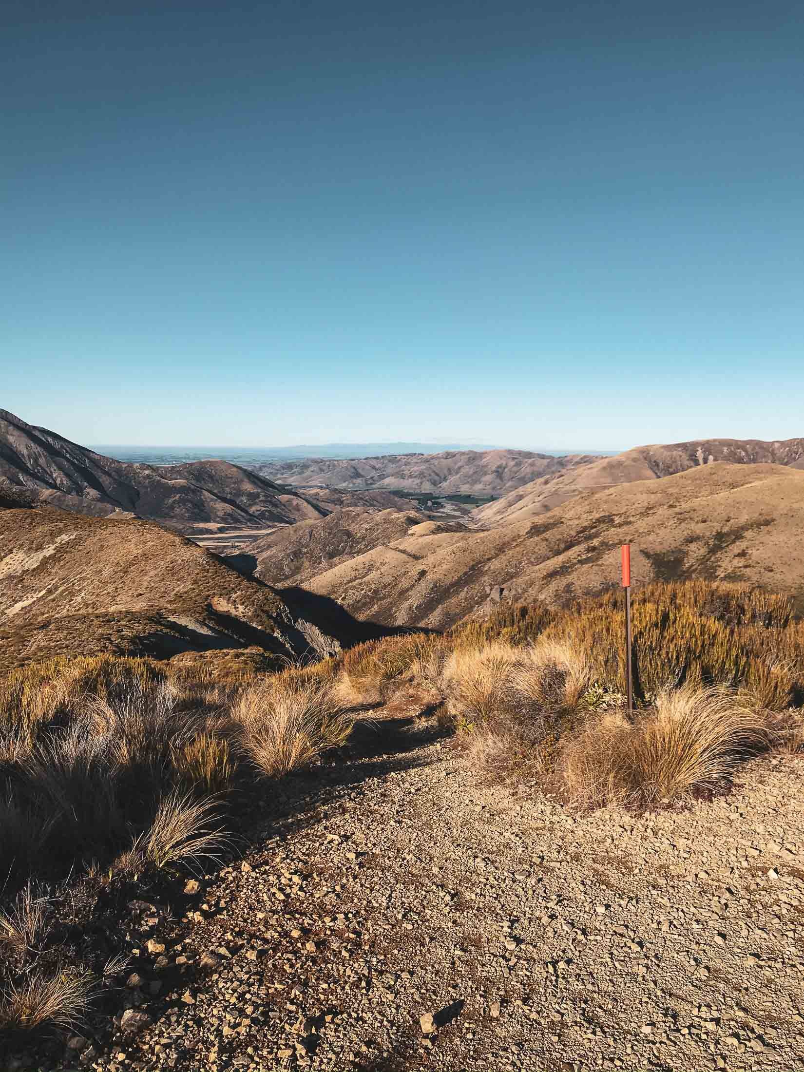
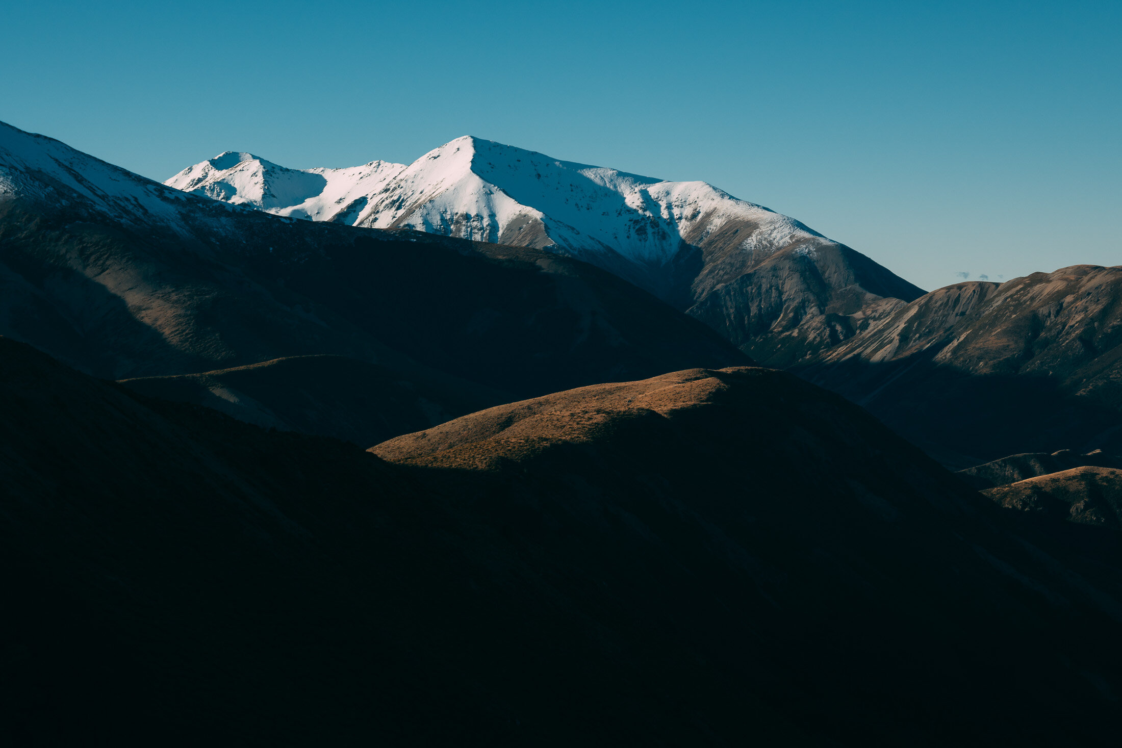
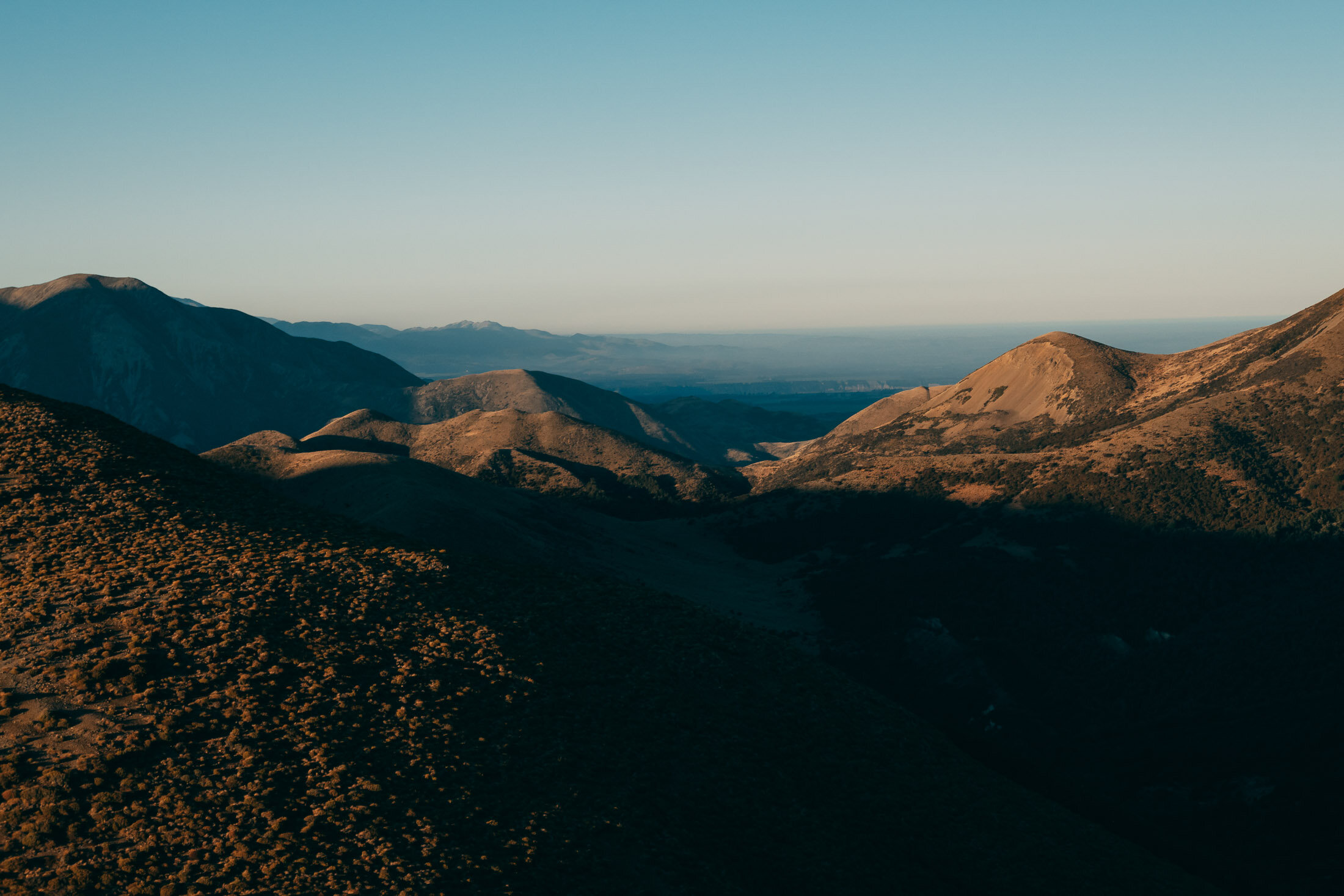
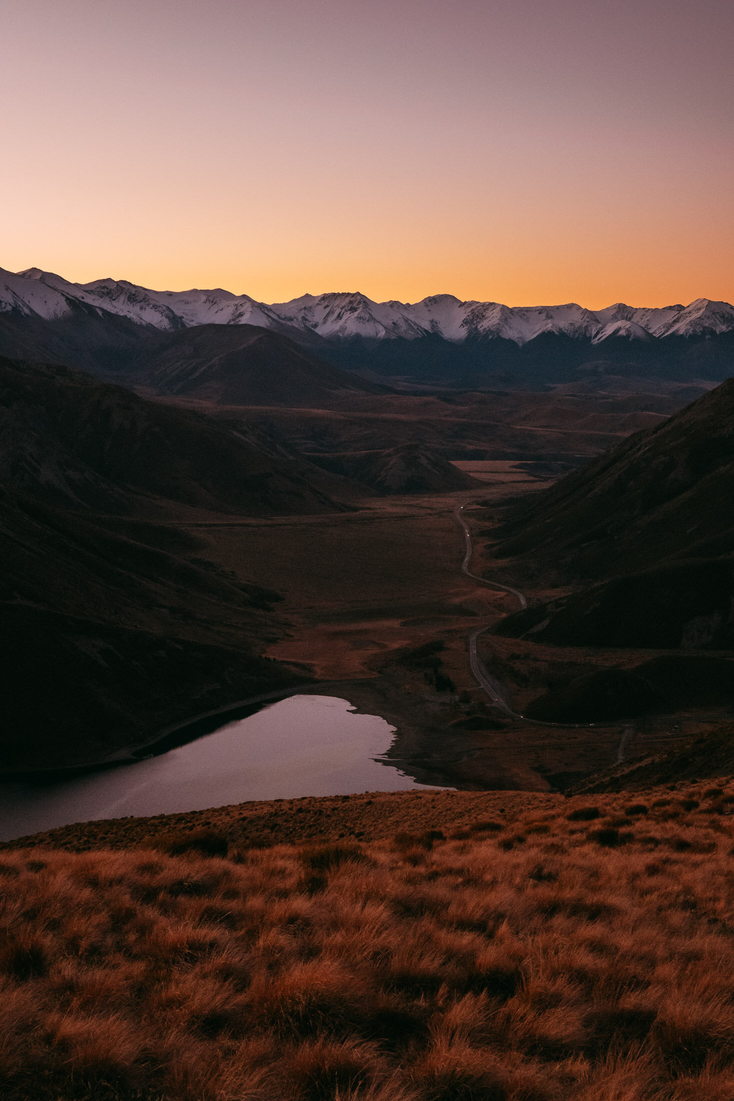
Looking back towards the start of the track, on a beautiful clear day.
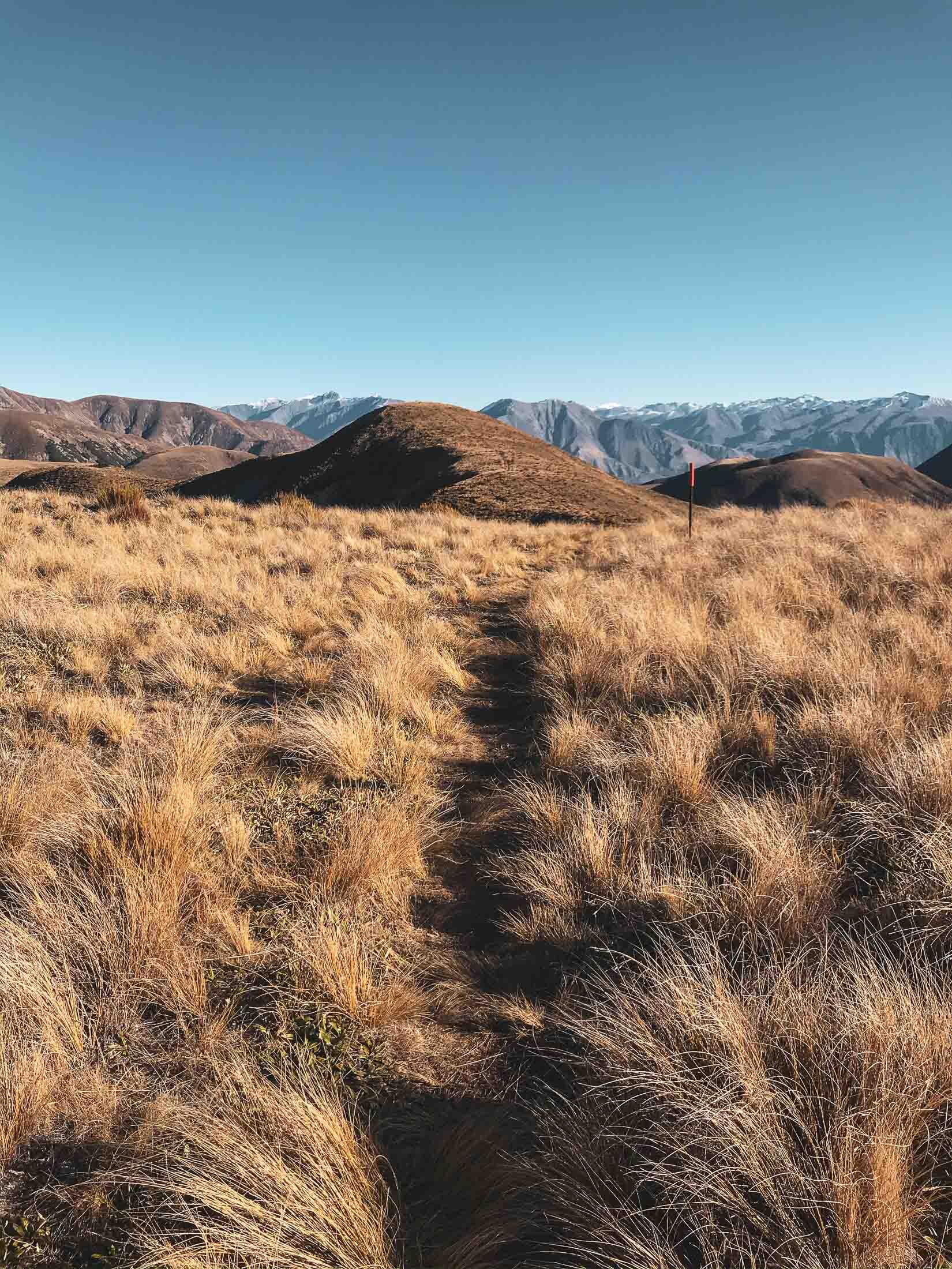
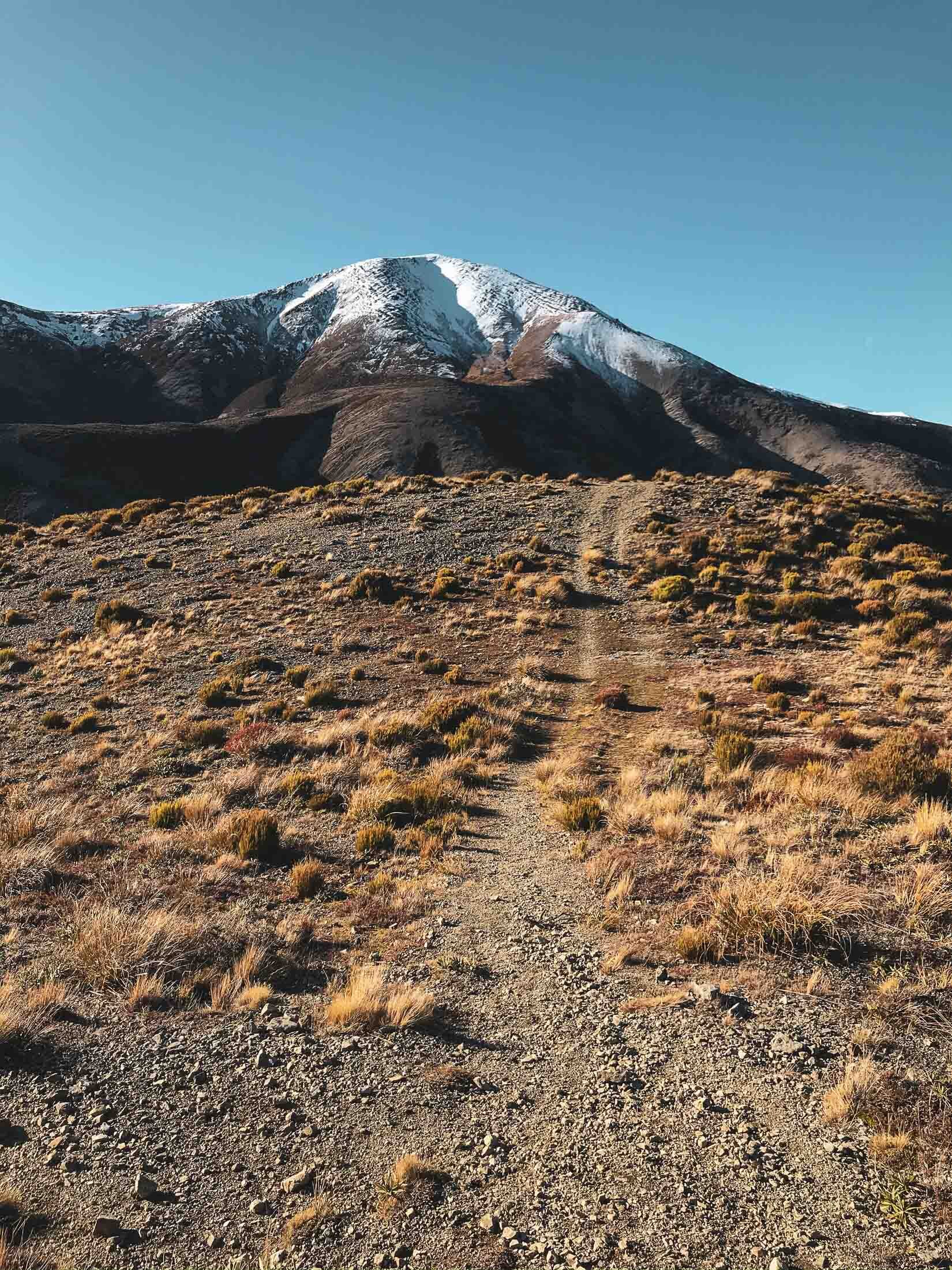
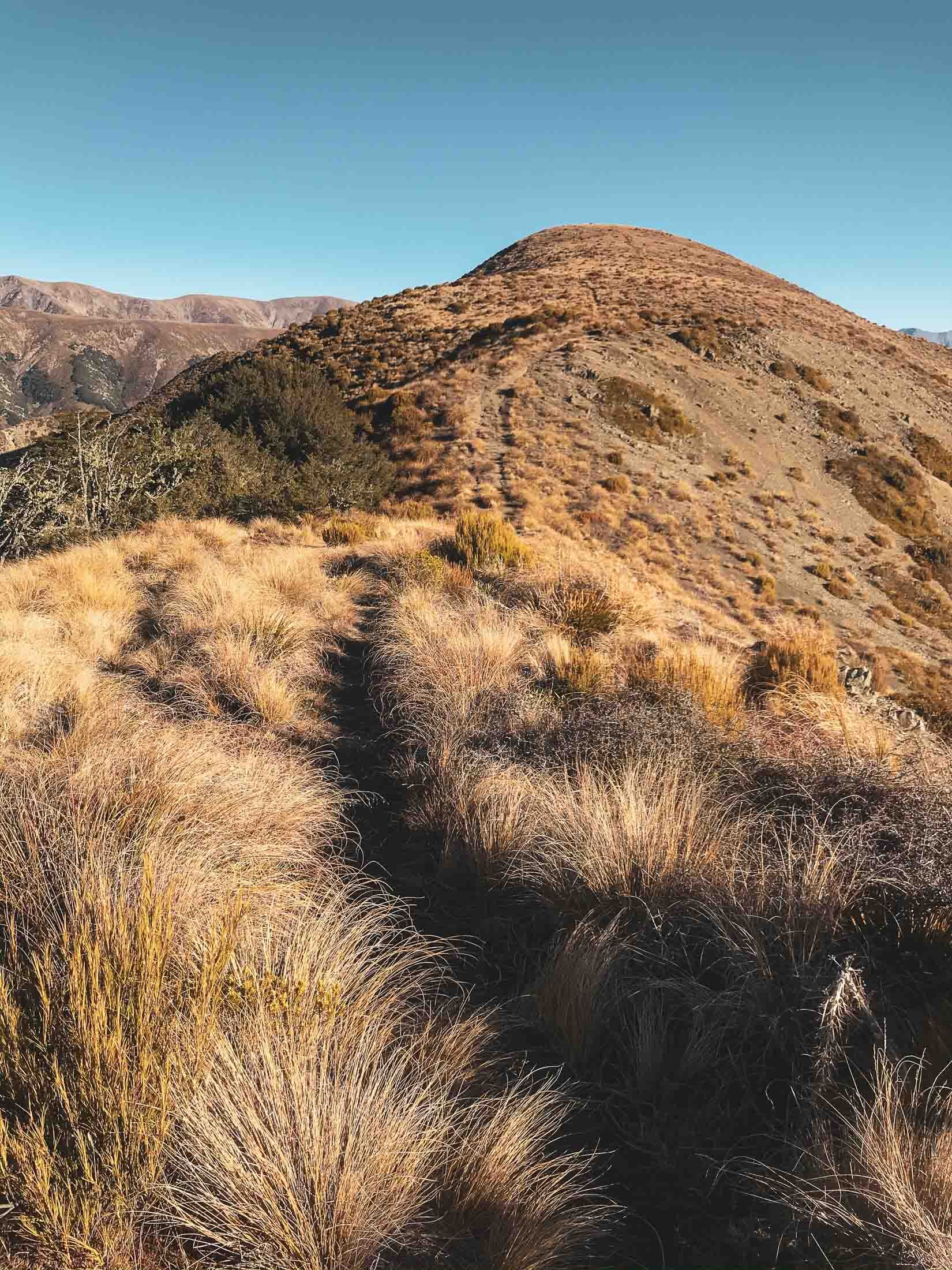

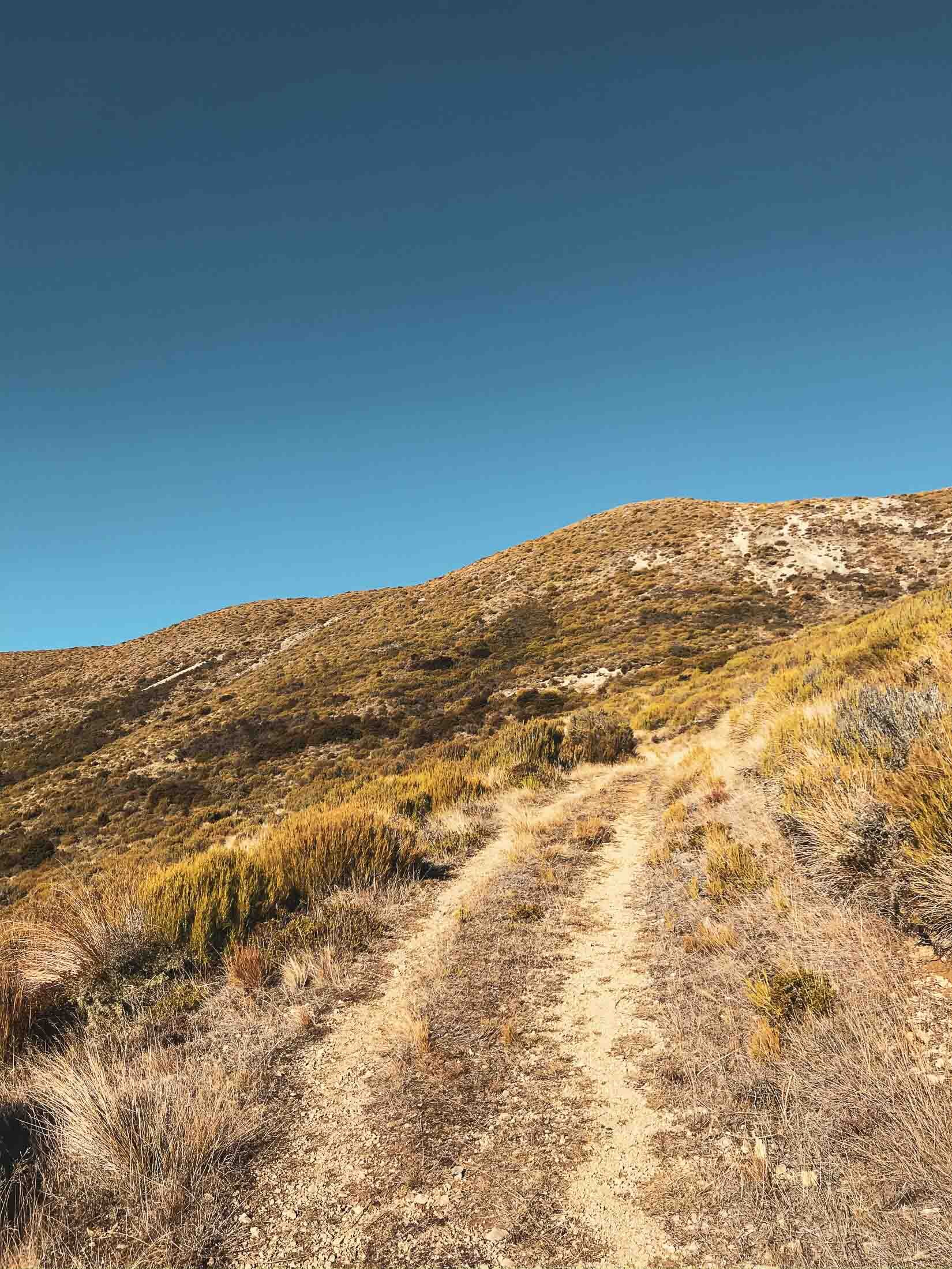
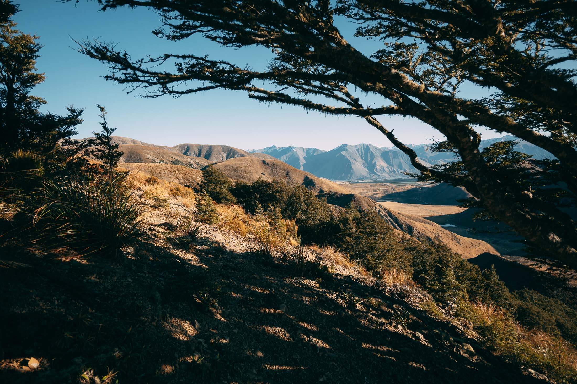
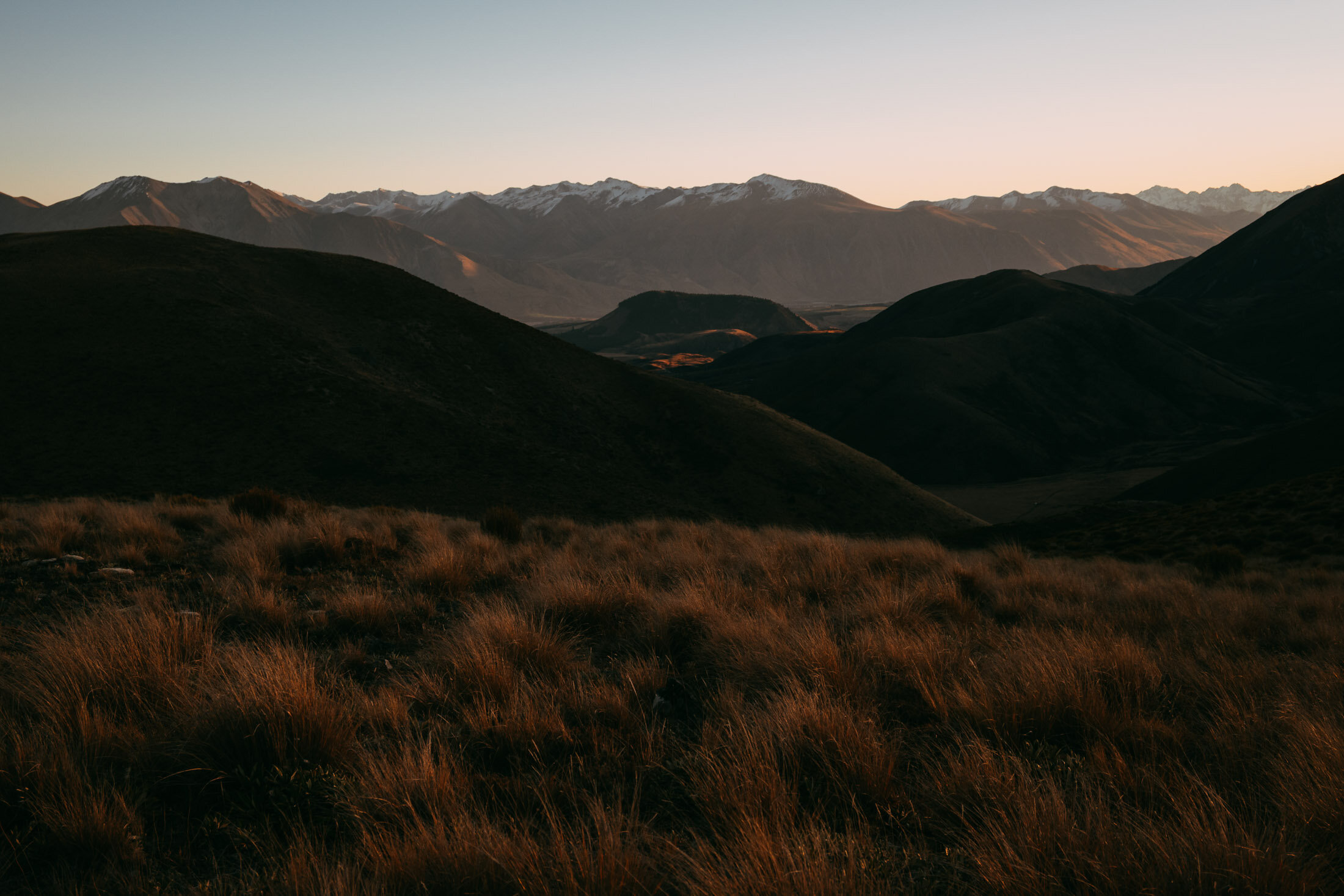
A few snaps of the track heading up towards ‘Trig M’. See if you can spot the lone walker. Next up some images from the top as we make our way from the trig towards Rabbit Hill.


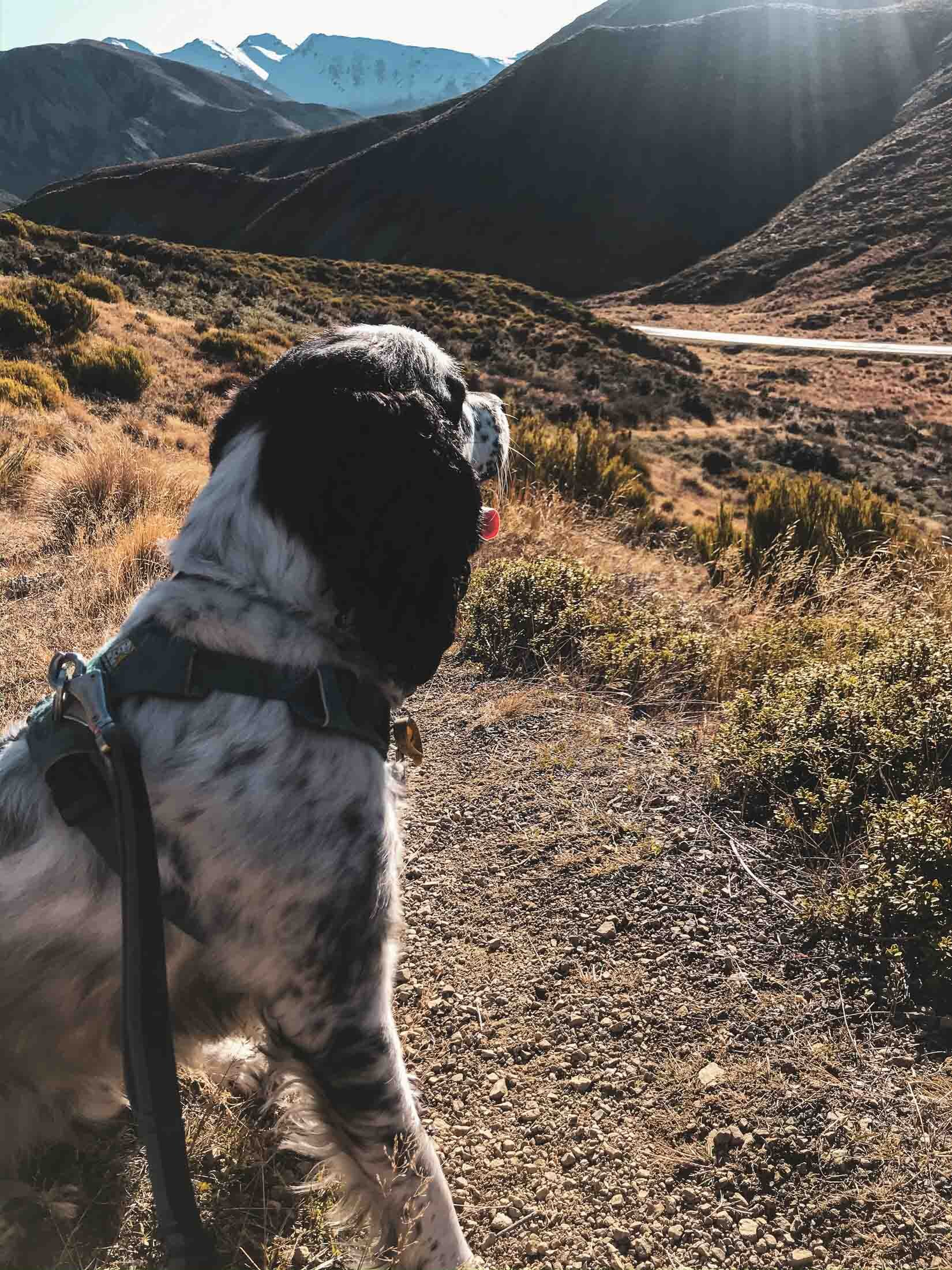
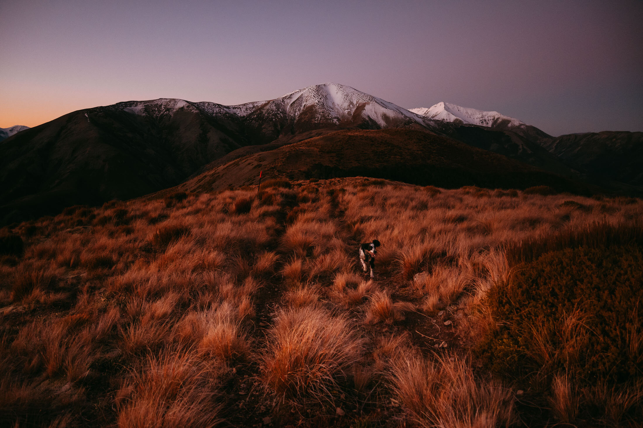
As usual, Charlie is having the time of his life running about.
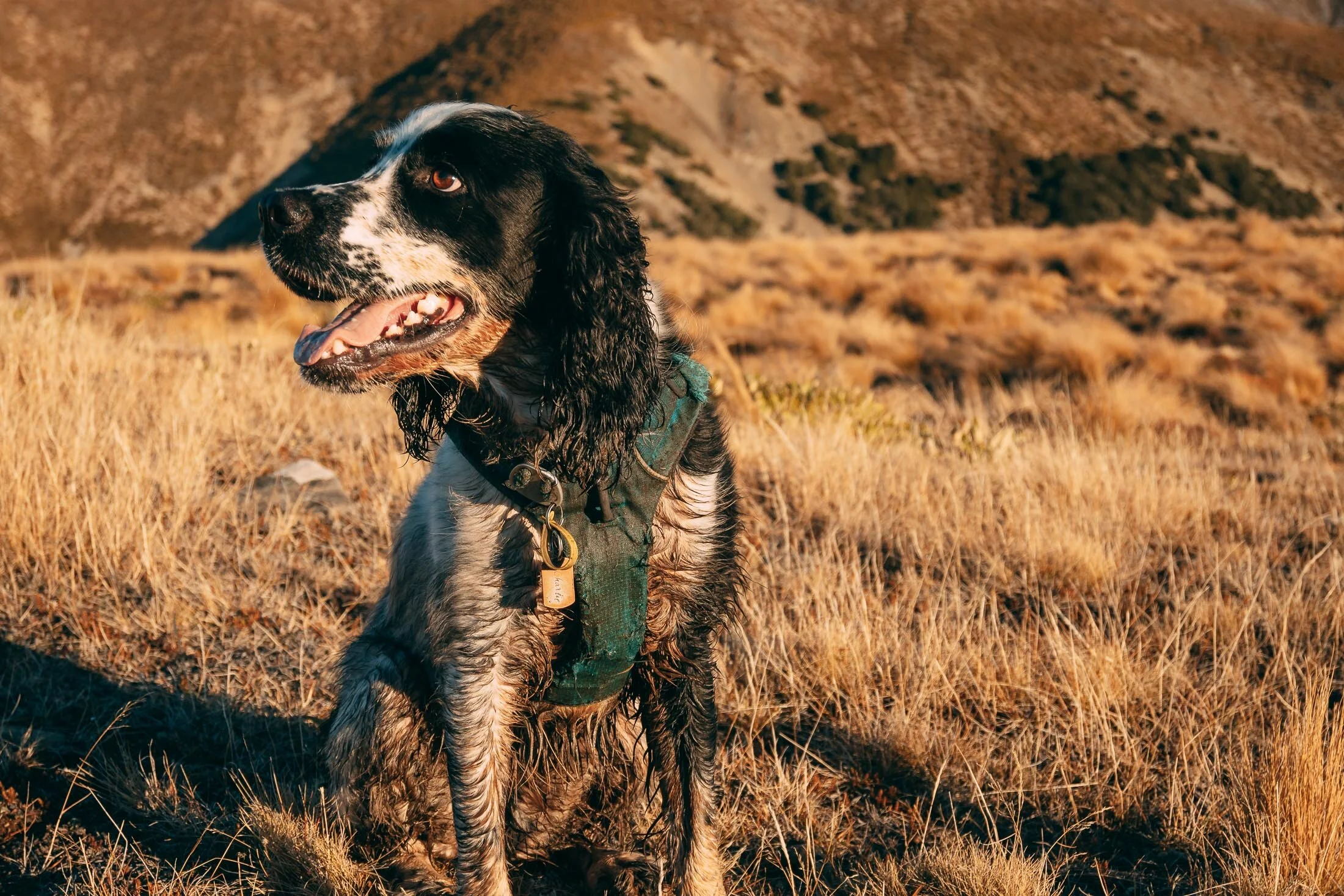
He found the mud. Look at the state of him.

A panorama looking back towards Foggy Peak (the closest snow capped peak).

Looking pretty proud of himself for getting to the top of Rabbit Hill. Next up, some images as the sun set on us heading back towards the trig, from Rabbit Hill.

Panoramic lockout, featuring Charlie, with Rabbit Hill to the left and Trig M out of frame to the right. Next up, beautiful last light and layers after the sunset.
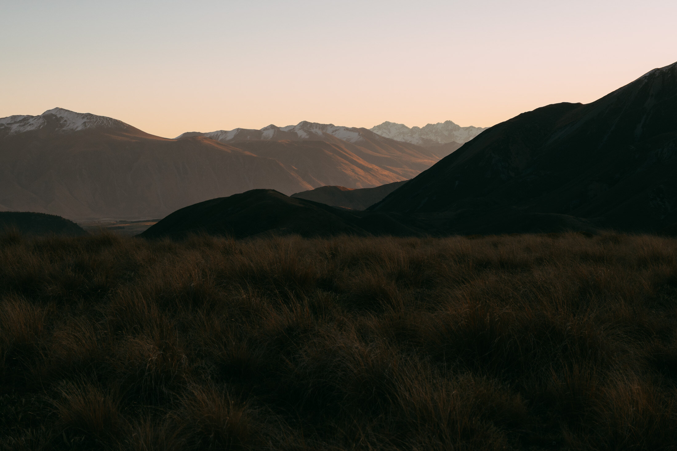

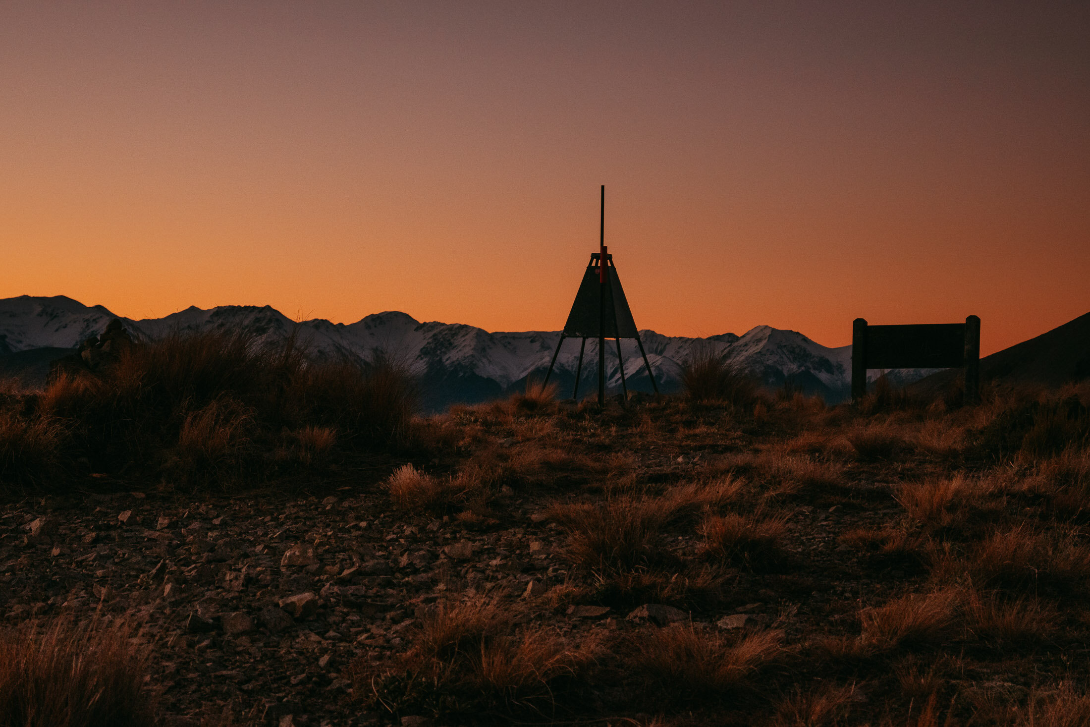
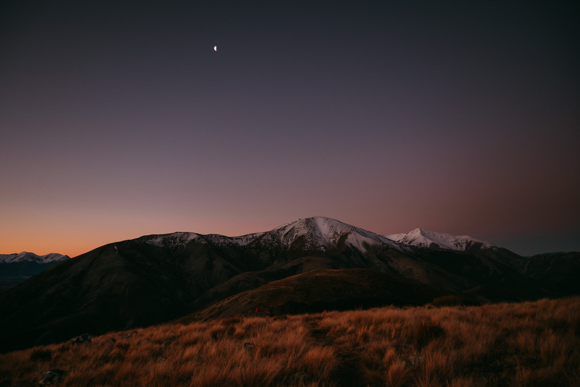
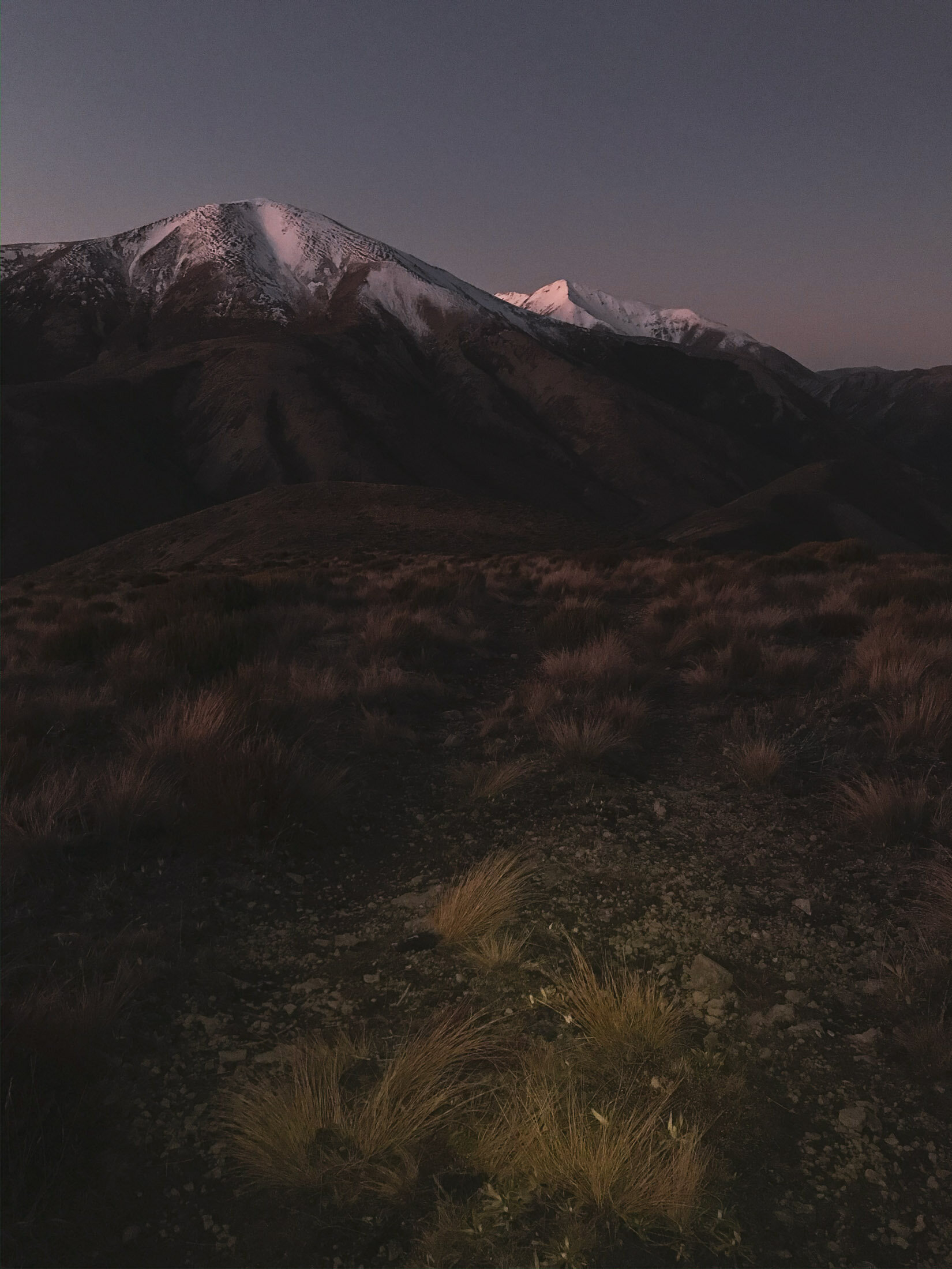
Made it back to the trig, plenty of light still with the glow in the sky. This is the highest point in the route, with a higher elevation than that of Rabbit HIll.
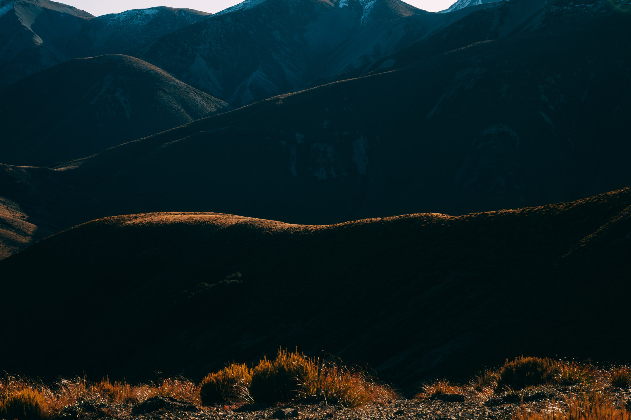
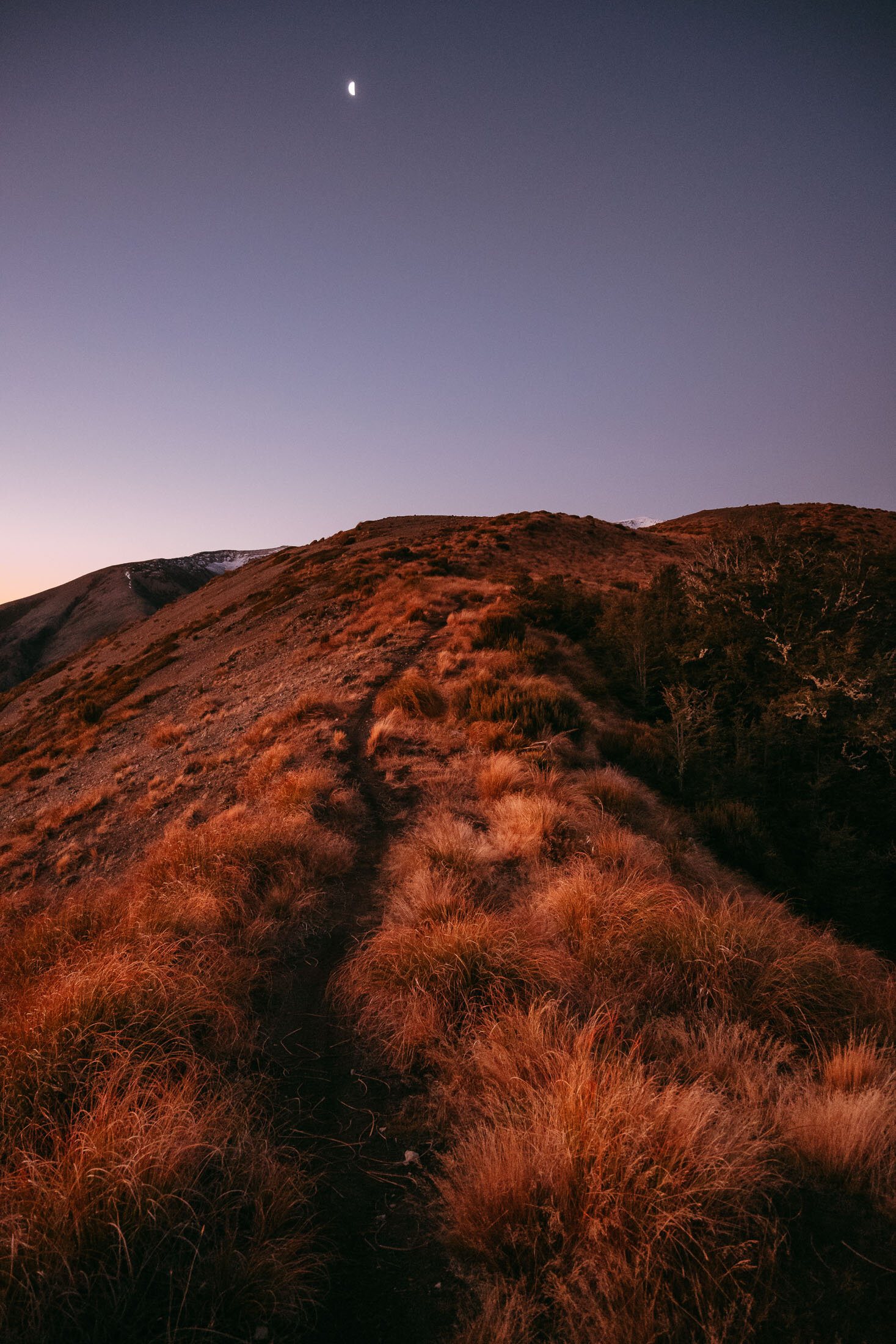
As the light fades, the gloves and hat come out, as do the lights. Here are some shots as we head back down from the trig, to the ute.
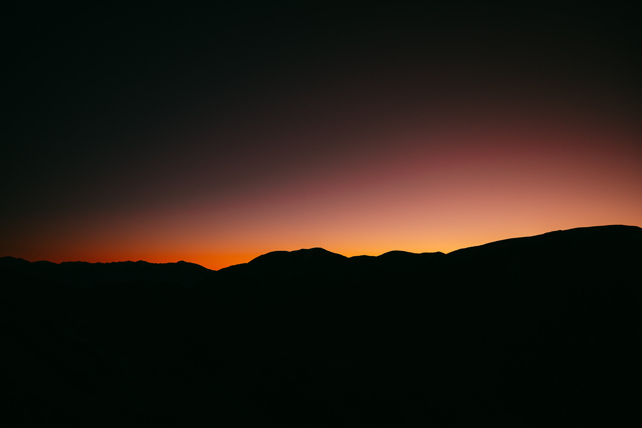
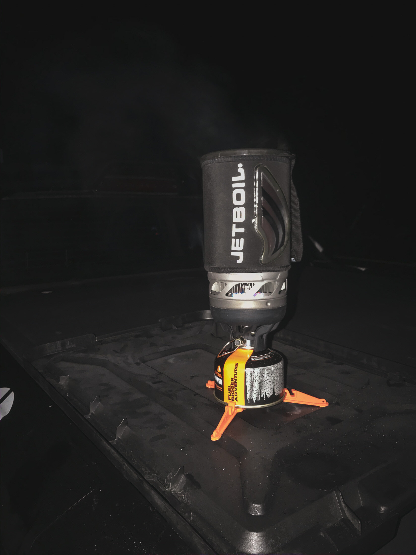

It was a beautiful evening for a walk, no wind, clear skies and very few people around. It had dropped below zero however, by the time we got down. Perfect time for a hot drink to warm up for the ride home.