Mt Richardson, Canterbury, New Zealand

MT RICHARDSON
North Canterbury
Location:
North Canterbury.
Chuck 'Glentui Bush Rd' into Google Maps. Head to the very end of the road. Park in the big open turning around area. (Don't try to continue up the road through the gate, although it looks possible, you get around the corner and it becomes the track, there's nowhere to turn and you need to back out, speaking from experience)
Difficulty:
Moderate.
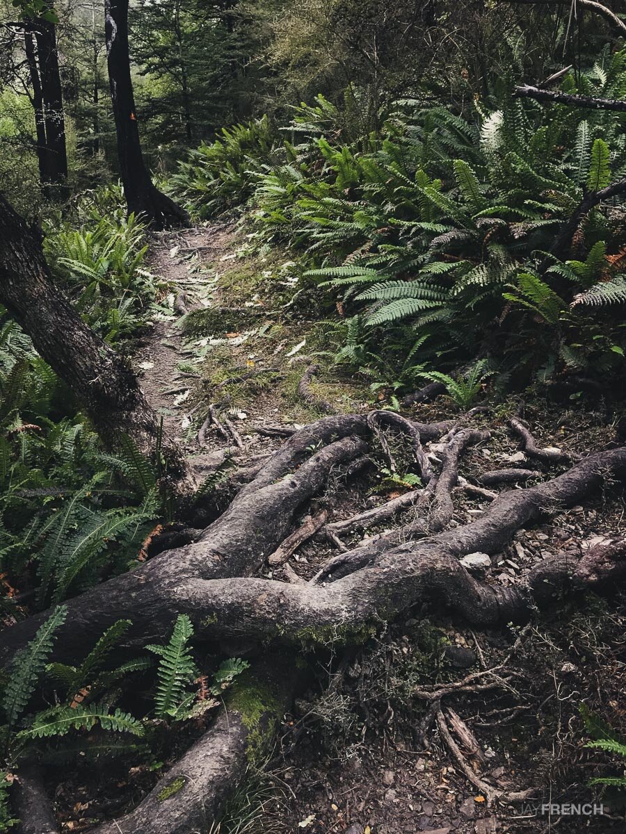
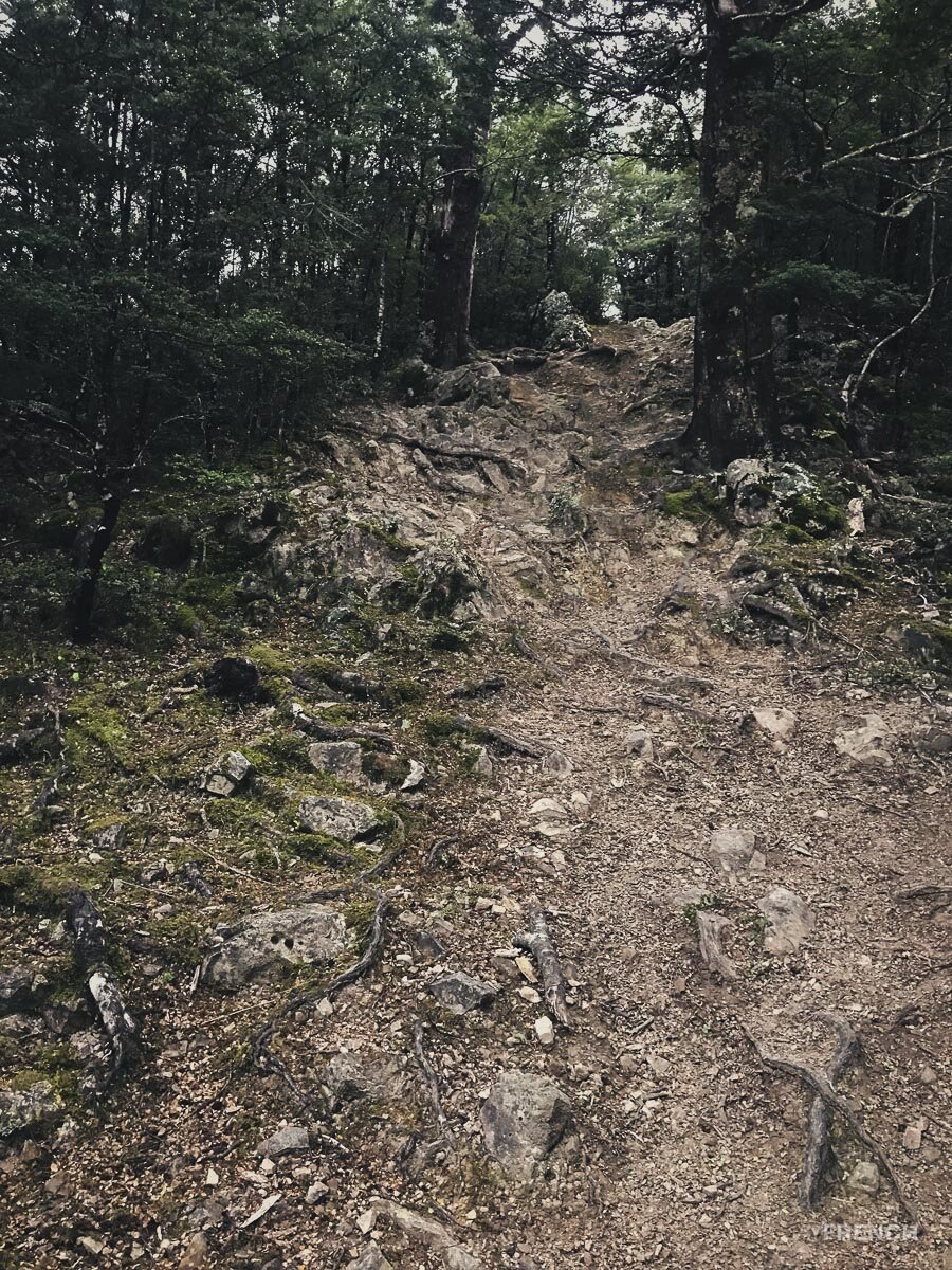
Easy in sections, steep and rooty in others. Weathers well.
Time:
Approx 2.5 hours.
1.5 hours up, 1 hour down.
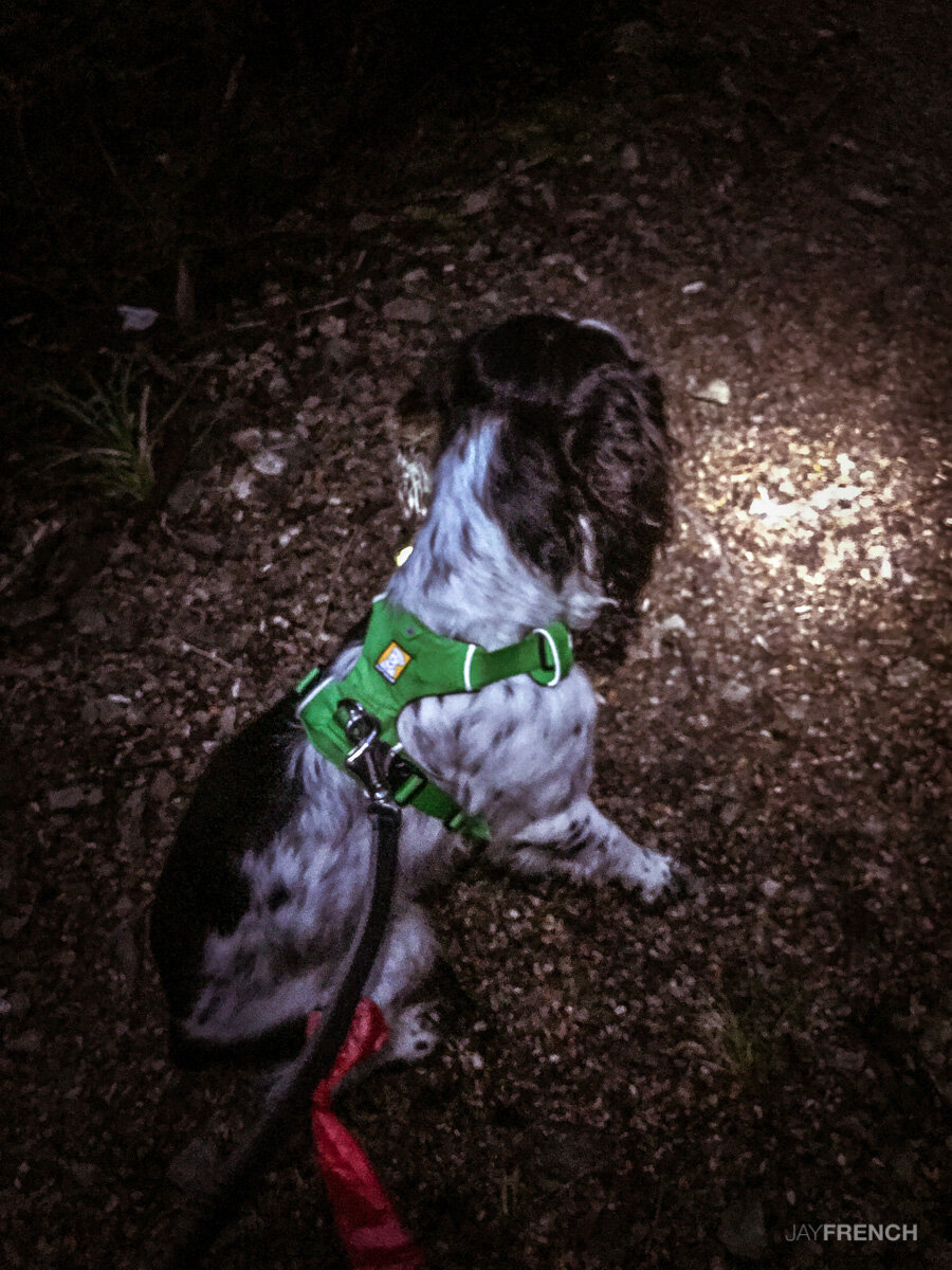
Dogs:
On leash only.
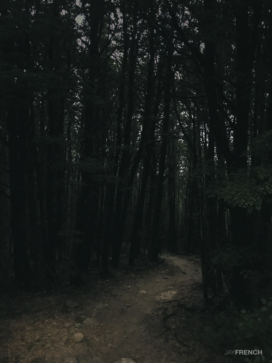
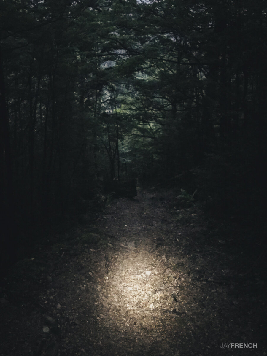
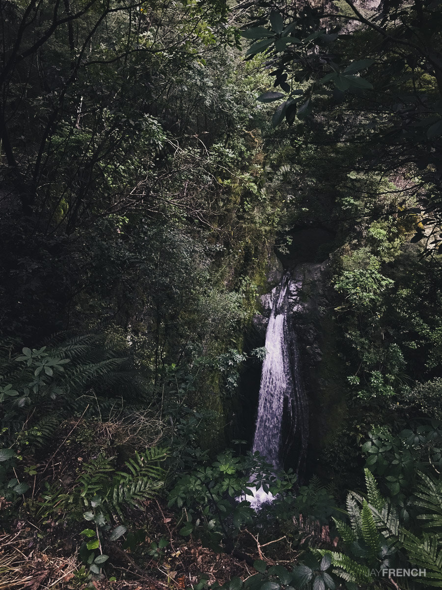
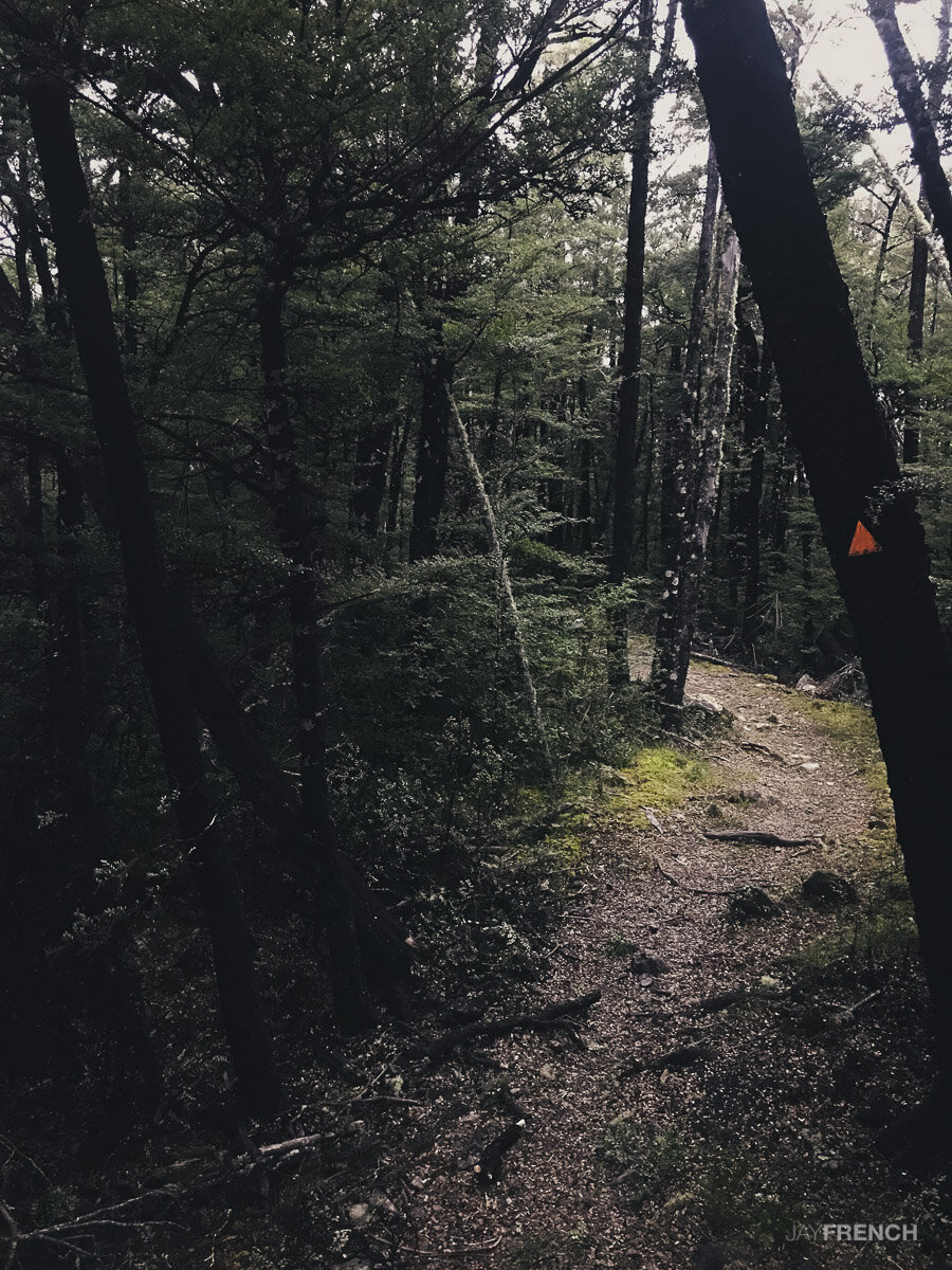
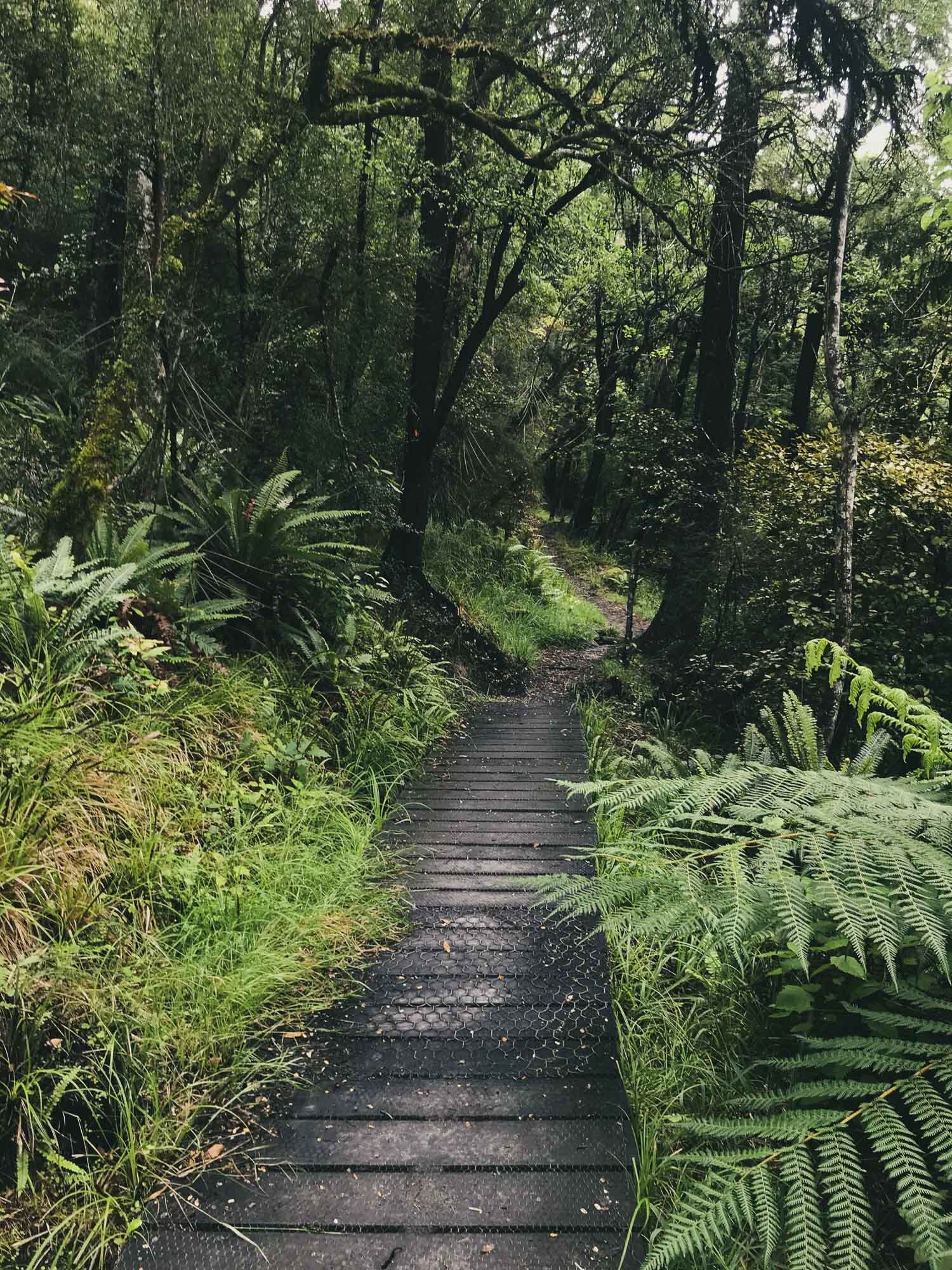
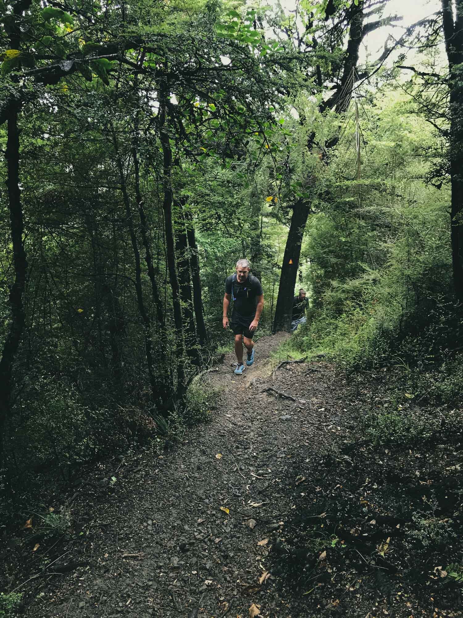
This trail was again walked in the evening. To find the most direct route to the top we followed the first track in, checked out the waterfall, then went directly to the Bypass Track, Connected to the Blowhard Track, and made a push for the summit. Returning down the way we came.
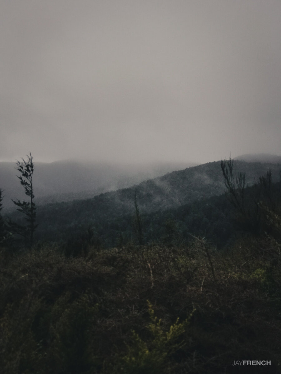
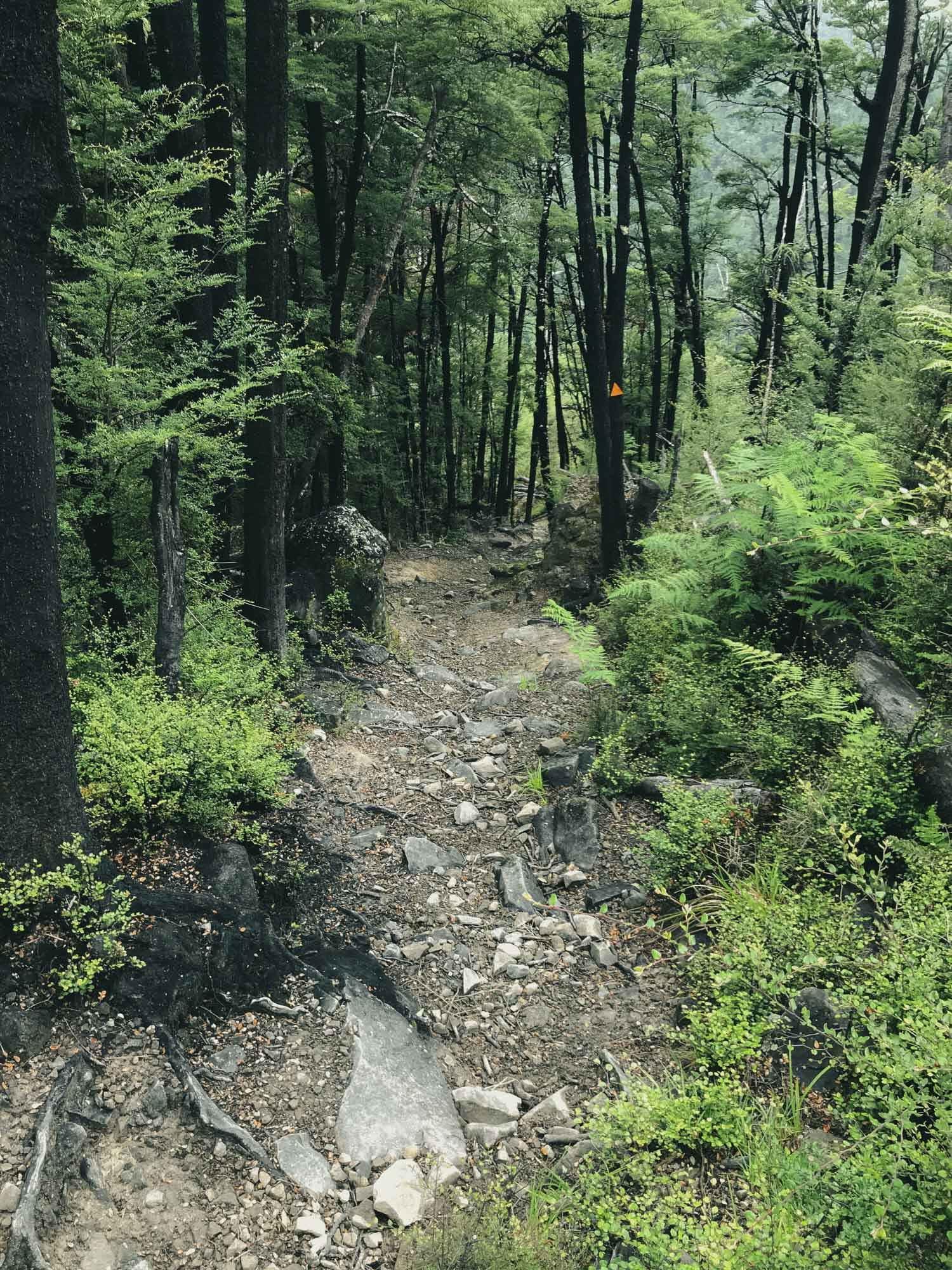
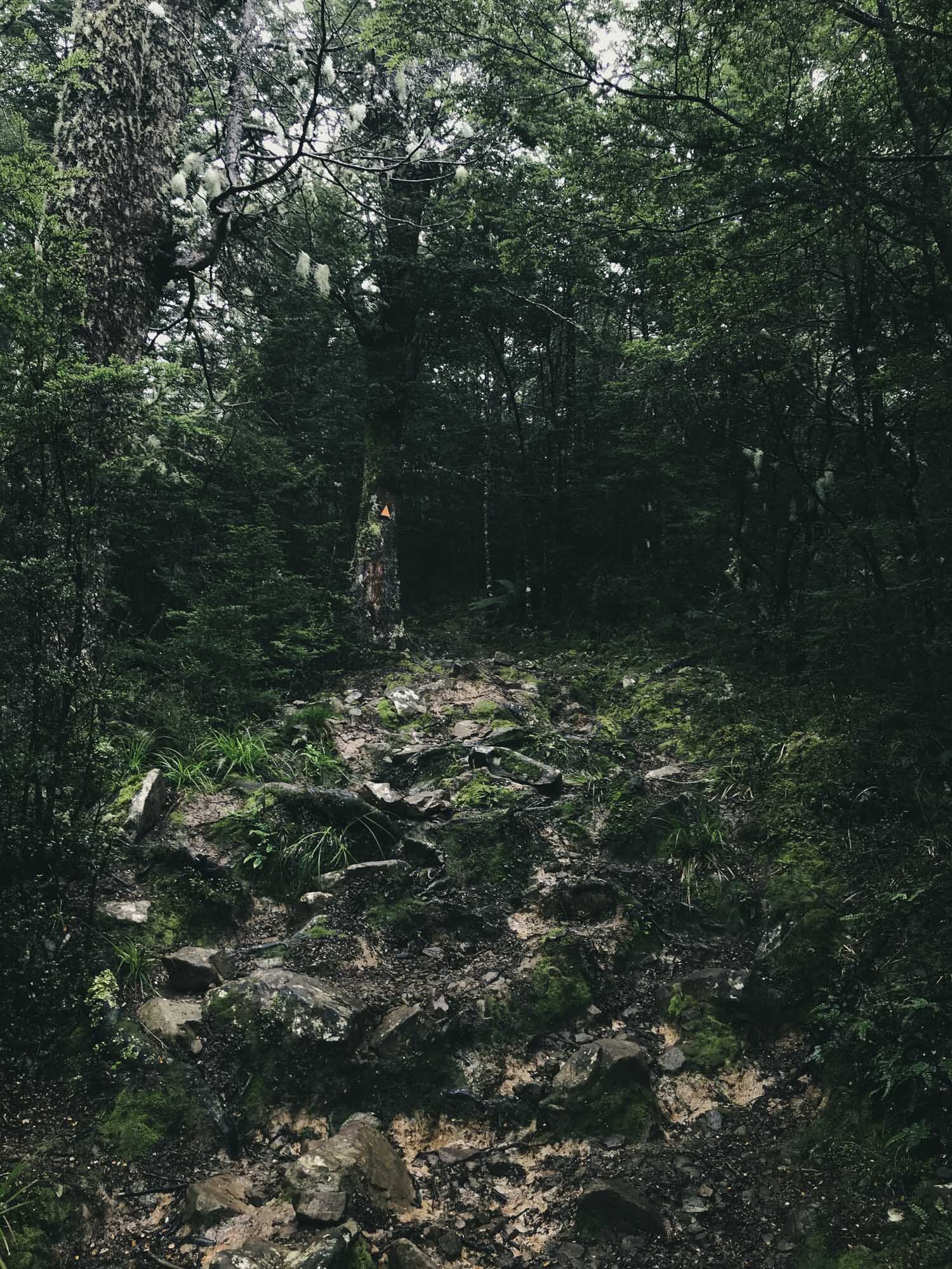
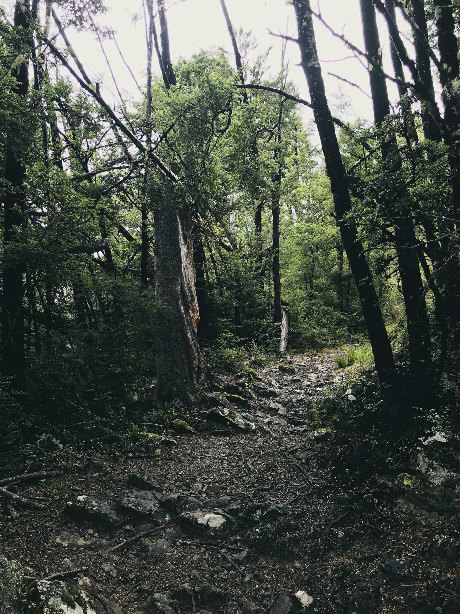
The first trail in, is easy. The Bypass track was steeper with roots, mud and rock. Had to make sure that Charlie didn't pull me over on some of the trickier sections to negotiate. We got clouded in at the top so couldn't see the view. Remember your lights if walking in the evening, it gets real dark in there.
*2021 Update - Hiked to the summit.*
Took the Mt Richardson Trail directly. It was a hard push, steep and technical in places.
Still clouded out at the top though.
Enjoy some new images mixed in.


Charlie is ready to go.

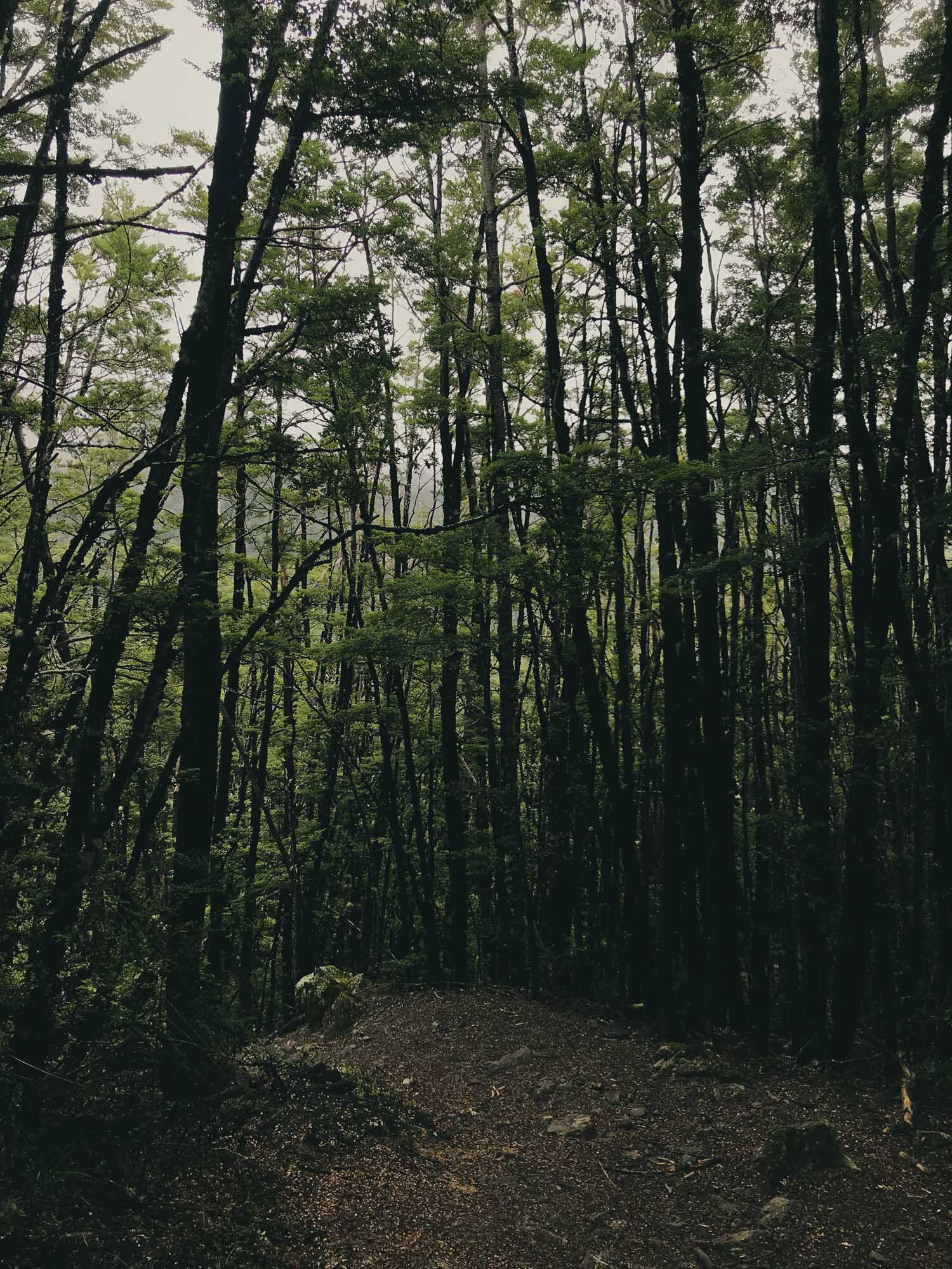
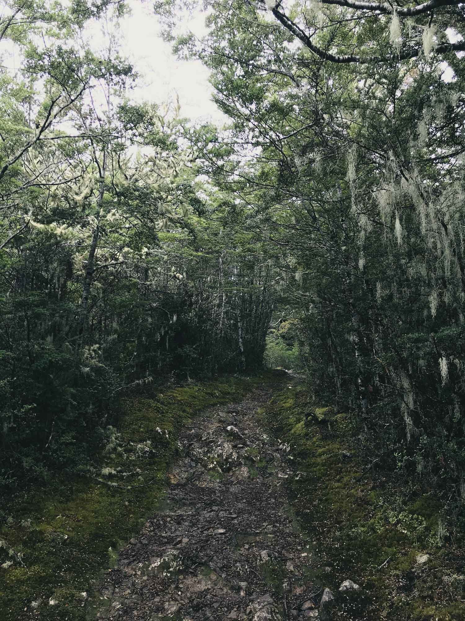
Like a lush green playground.

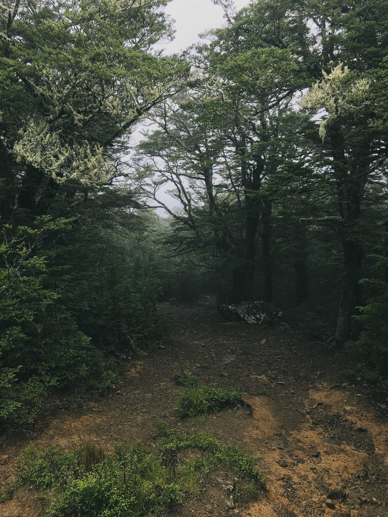


We’re still yet to see the views from this one.