
Mt Richardson, Canterbury, New Zealand
North Canterbury
2.5 hours return
Moderate difficulty

MT RICHARDSON
North Canterbury
Location:
North Canterbury.
Chuck 'Glentui Bush Rd' into Google Maps. Head to the very end of the road. Park in the big open turning around area. (Don't try to continue up the road through the gate, although it looks possible, you get around the corner and it becomes the track, there's nowhere to turn and you need to back out, speaking from experience)
Difficulty:
Moderate.
Easy in sections, steep and rooty in others. Weathers well.
Time:
Approx 2.5 hours.
1.5 hours up, 1 hour down.
Dogs:
On leash only.
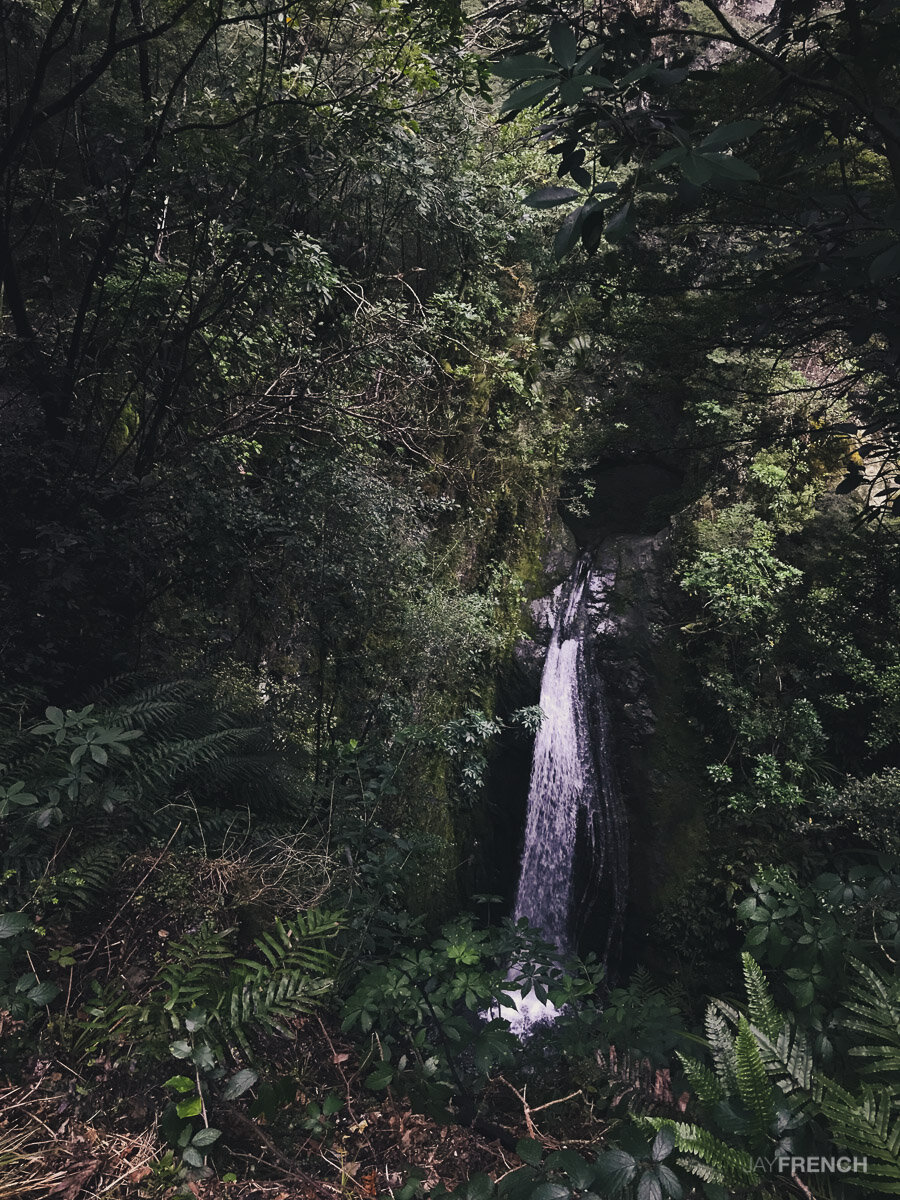
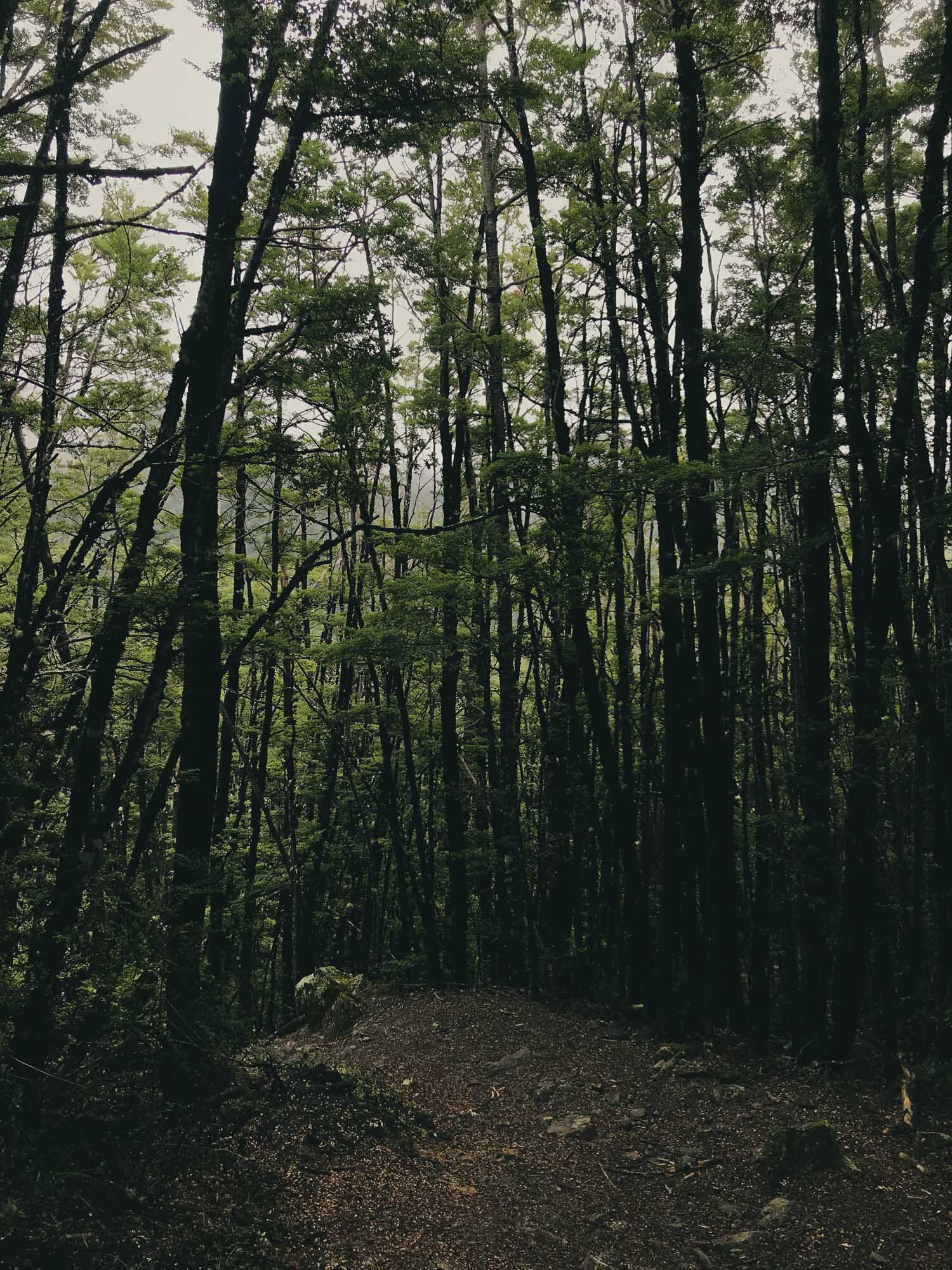
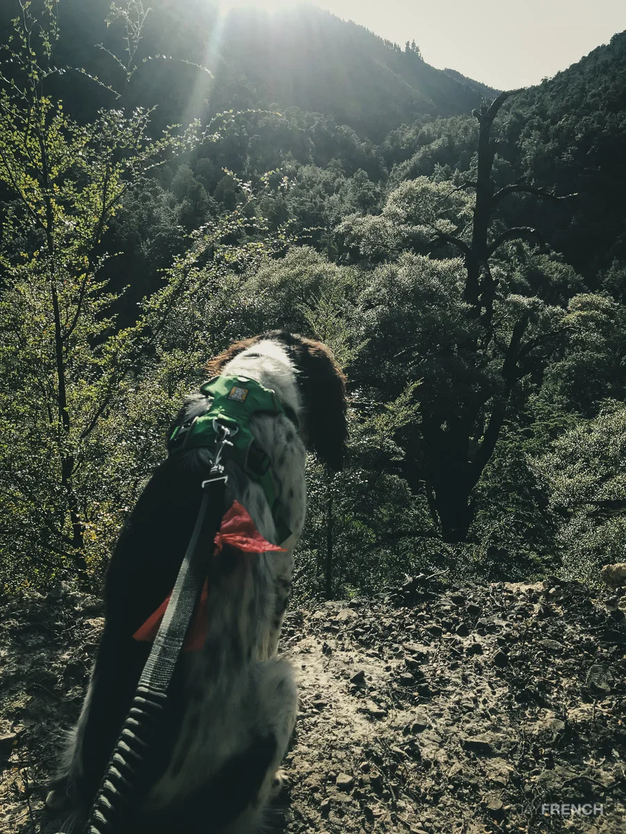
This trail was again walked in the evening. To find the most direct route to the top we followed the first track in, checked out the waterfall, then went directly to the Bypass Track, Connected to the Blowhard Track, and made a push for the summit. Returning down the way we came.
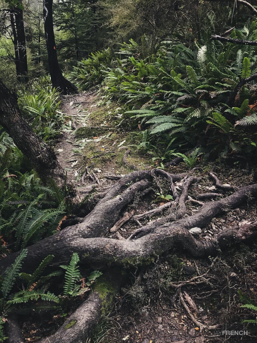
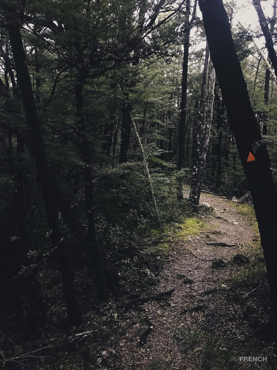
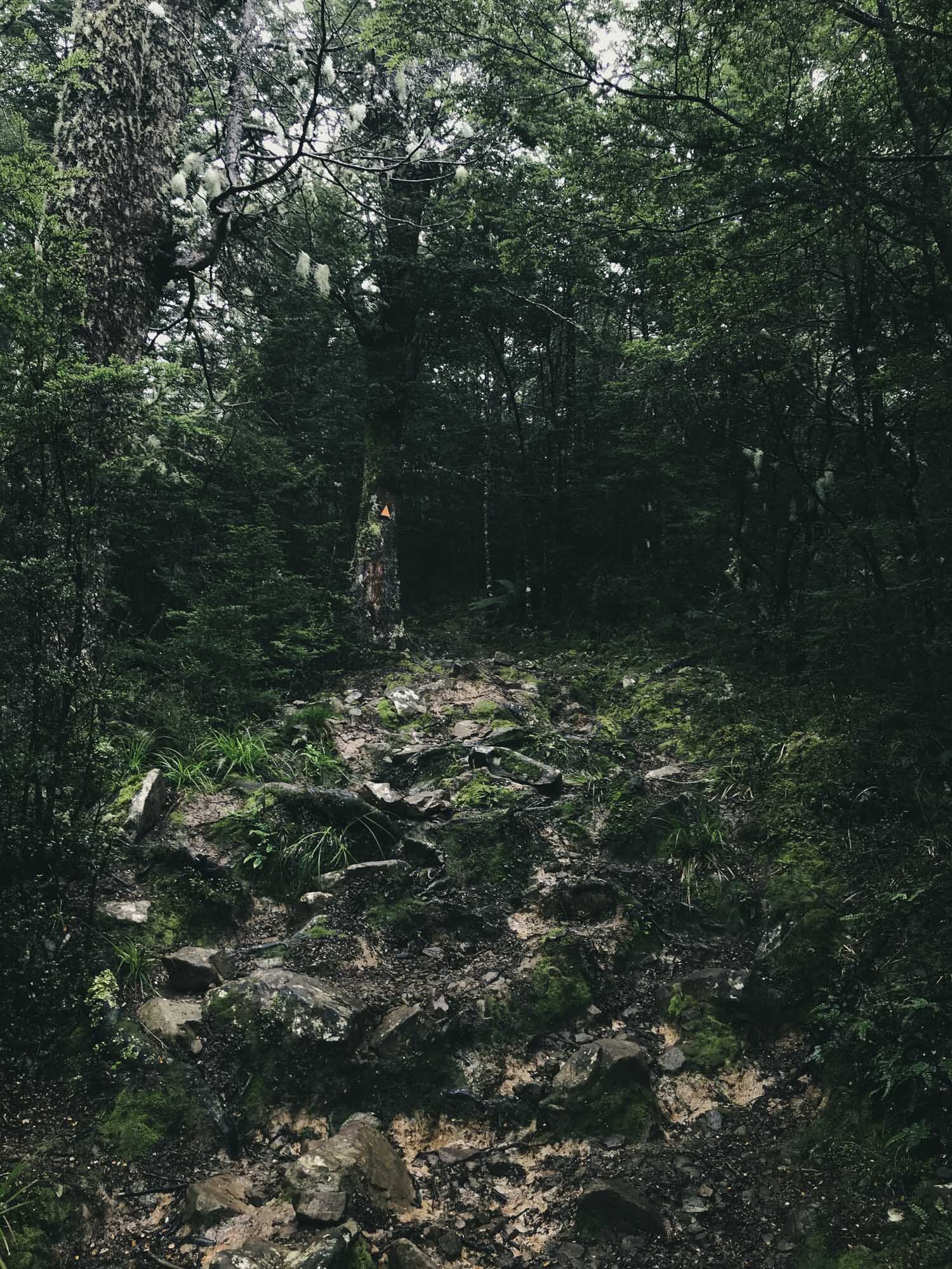
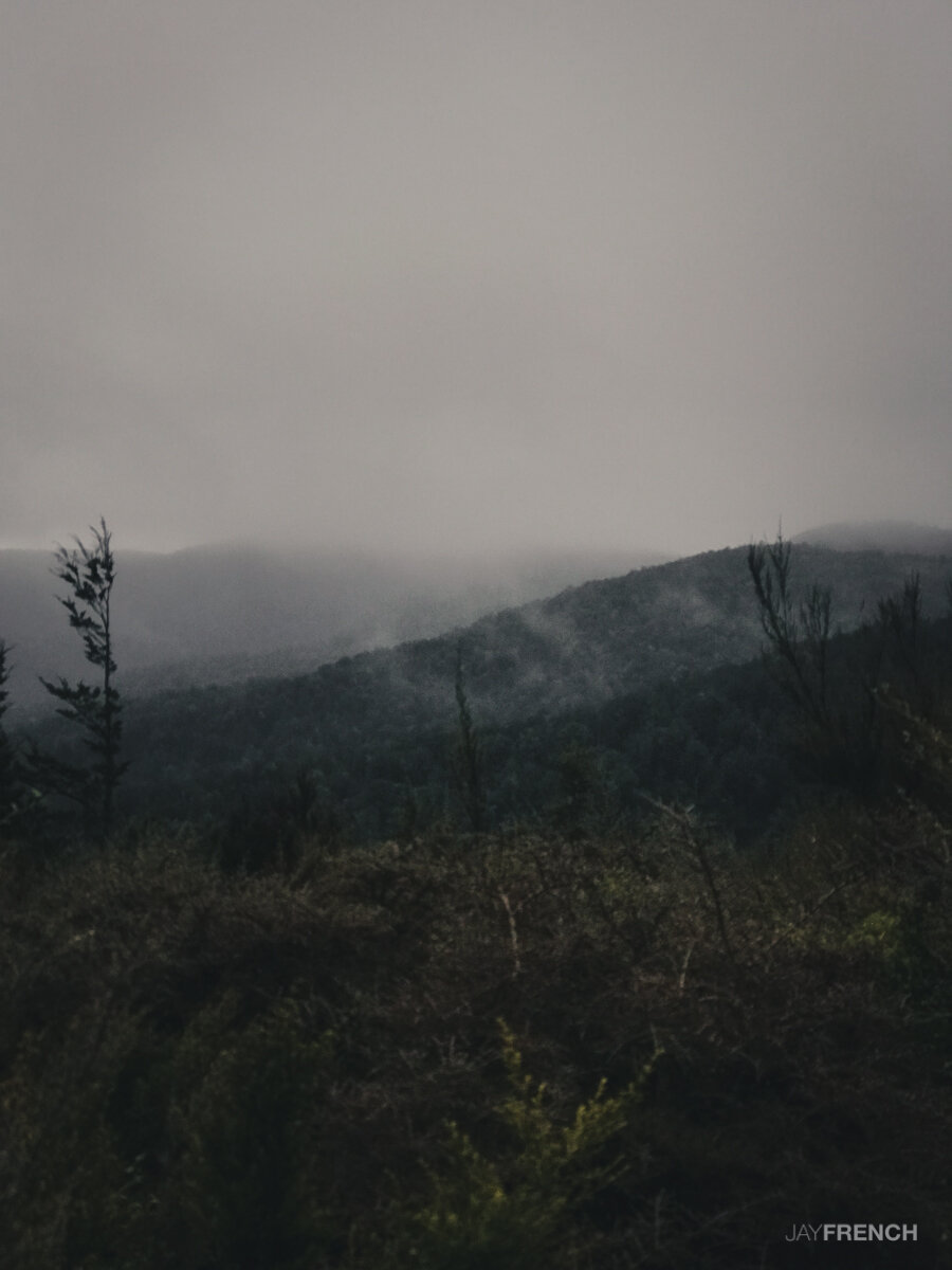
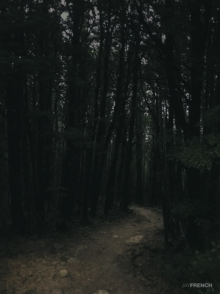
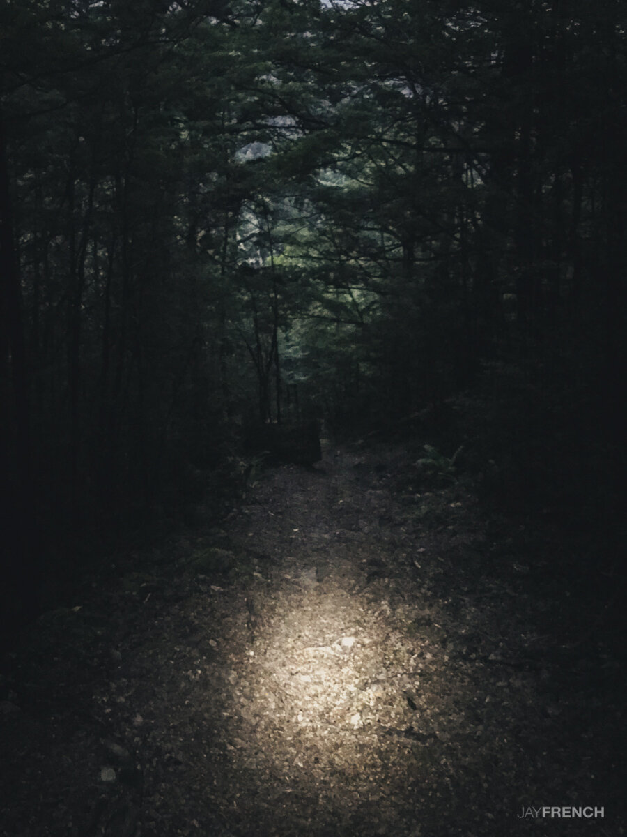
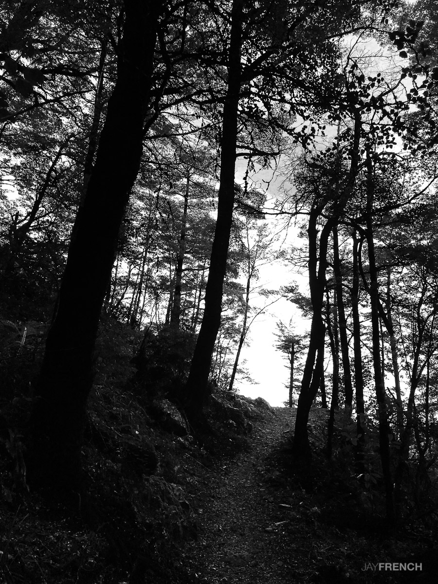
The first trail in, is easy. The Bypass track was steeper with roots, mud and rock. Had to make sure that Charlie didn't pull me over on some of the trickier sections to negotiate. We got clouded in at the top so couldn't see the view. Remember your lights if walking in the evening, it gets real dark in there.
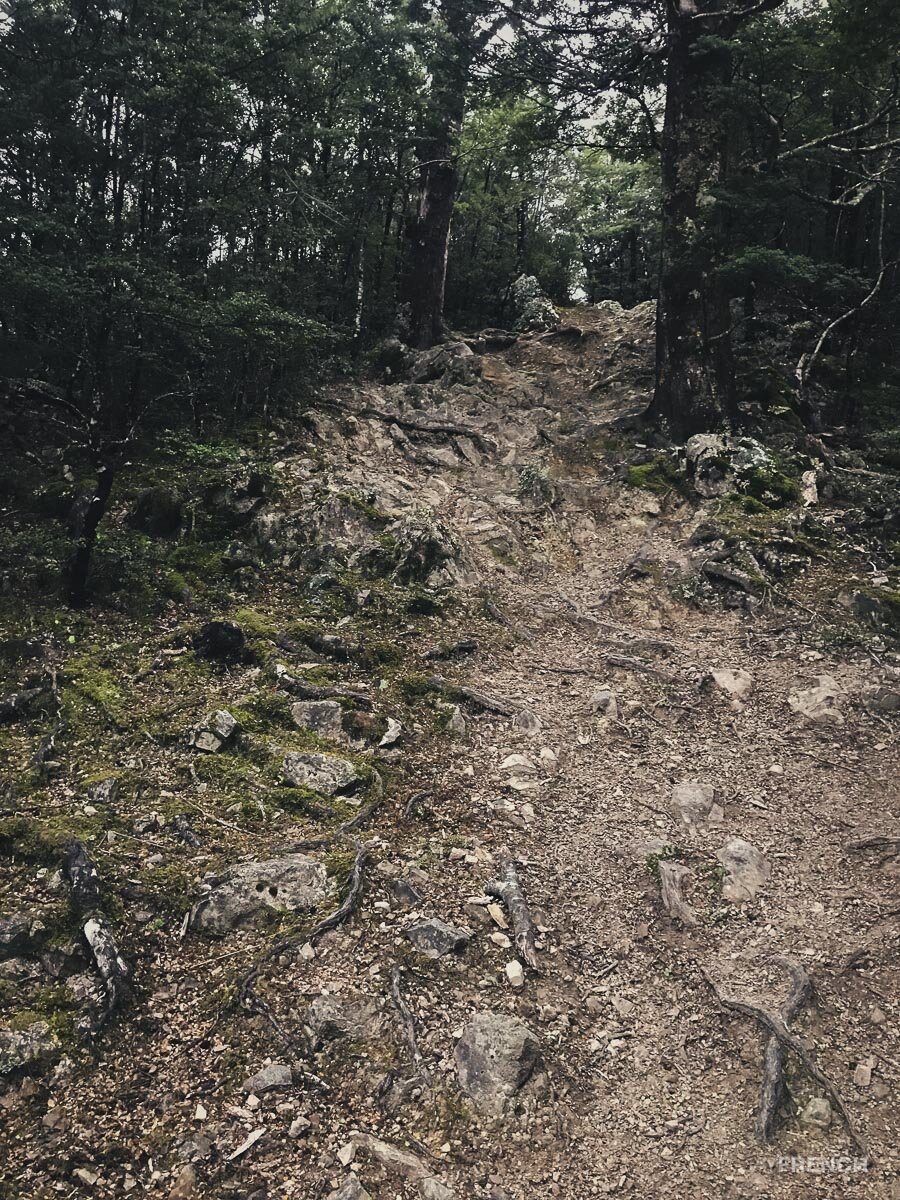
*2021 Update - Hiked to the summit.*
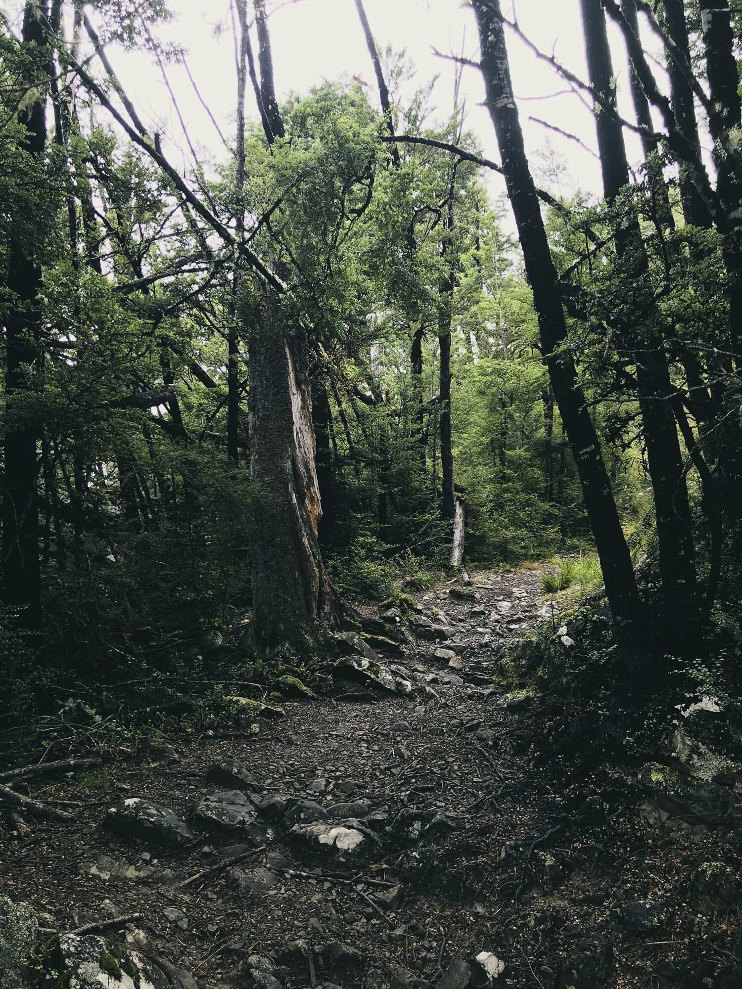
Took the Mt Richardson Trail directly. It was a hard push, steep and technical in places.
Still clouded out at the top though.
Enjoy some new images mixed in.


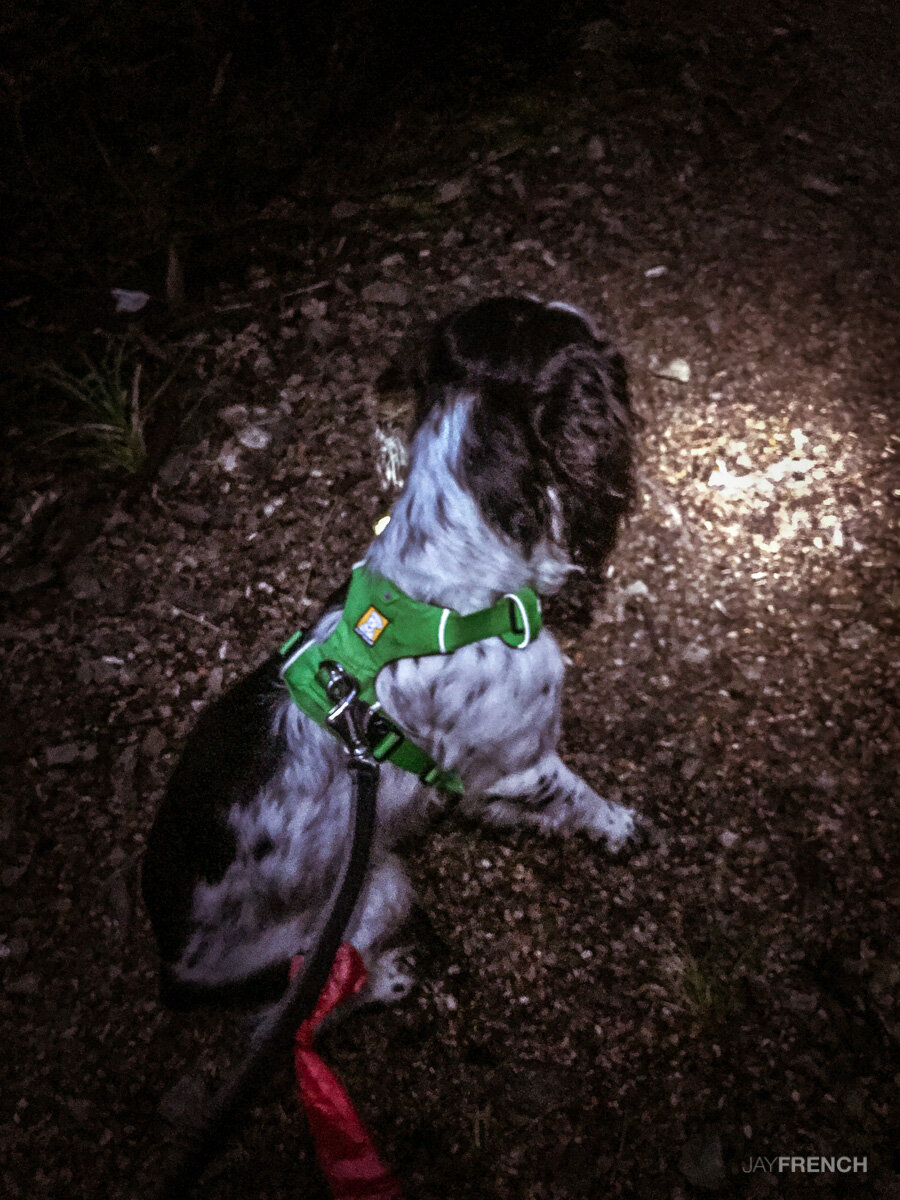
Charlie is ready to go.

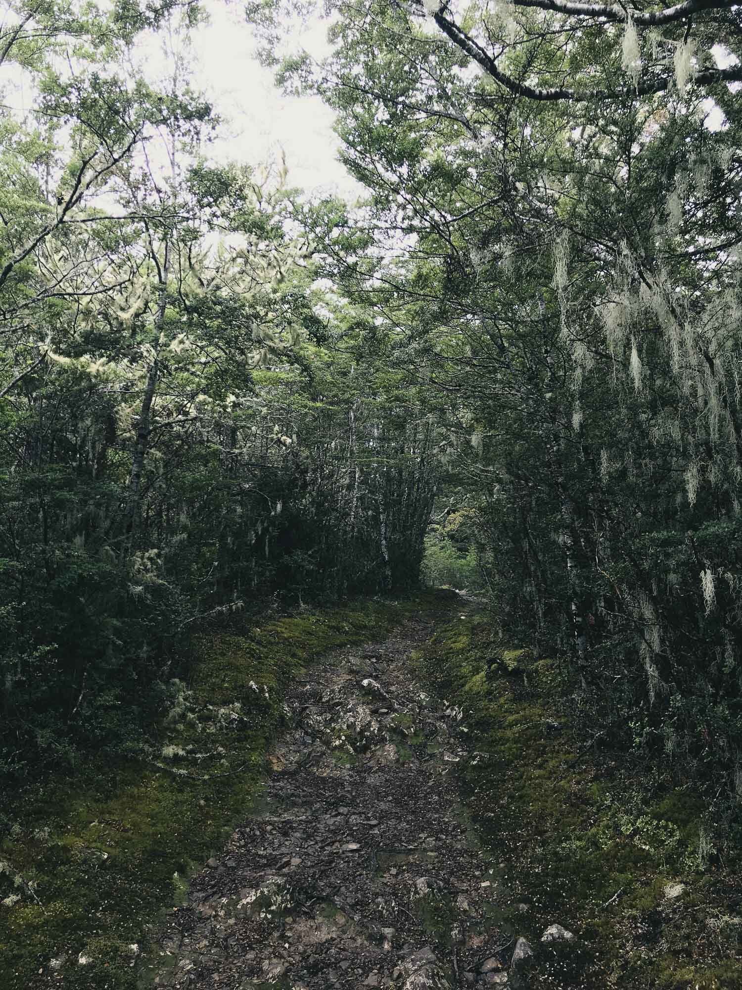
Like a lush green playground.

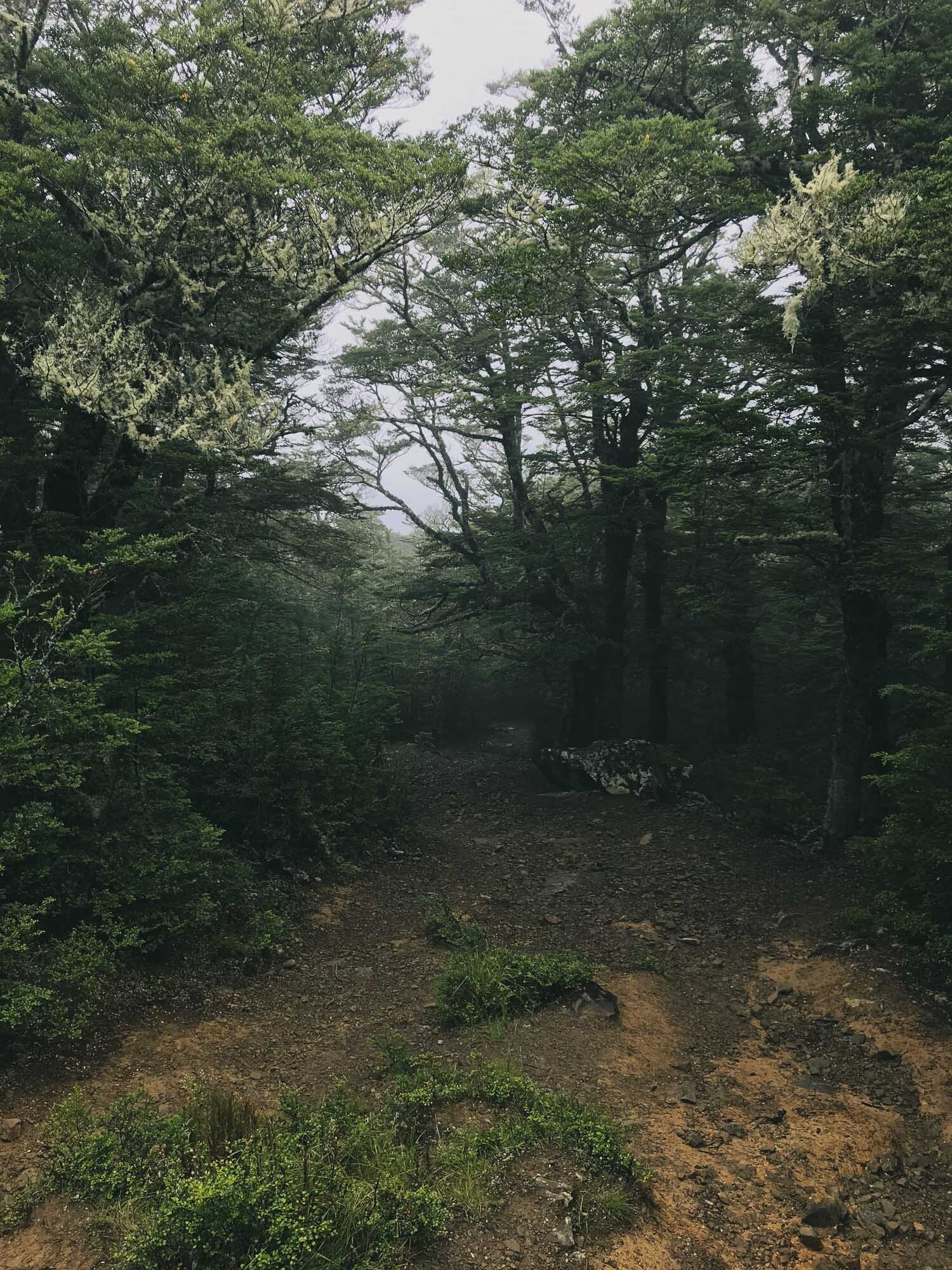


We’re still yet to see the views from this one.
Mt Grey, Canterbury, New Zealand
North Canterbury
3 hours return
Mainly easy

MT GREY
North Canterbury
Location:
North Canterbury.
Head North from Christchurch, put 'Grey River Campsite' into your Google Maps. Head along that shingle forestry road until you get to the concrete ford (it's a bit rough, you might not want to cross it unless you have a 4x4) however the Mt Grey track is on the near side of the river so you don't need to cross the ford unless you want to access the campsite.
Difficulty.
Mainly Easy.
Time:
Approx 3 hours.
1 hour 45 up, 1 hour 15 down.
Dogs:
On a leash only.
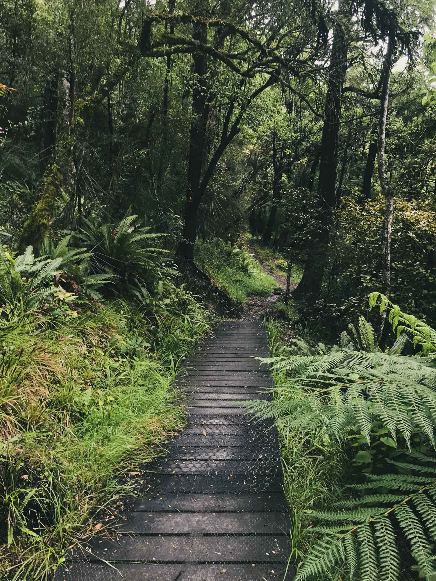
This one is a pretty easy, gentle climb through beautiful forest and plenty of easy switchbacks keeping the incline nice and gradual. In winter there was one section which was really muddy and proved unpleasant to come back through in the dark.
Great views from 3/4 of the way up as well if you don't want to go all the way to the top.
Again we needed our lights as we stayed up top for sunset. Charlie enjoyed this one especially!

Beauty spot for a sunset!

Could be interesting with a full river.

Someone is ready to go. Tracks that allow dogs are the best.

Beautiful boardwalks

Lush greens

Impressive bridges.

This muddy section hadn't seen sun in a long time. It was trecherous.

Half way views out over the Canterbury Plains.

Gentle gradient.

Nice sub-alpine forest.

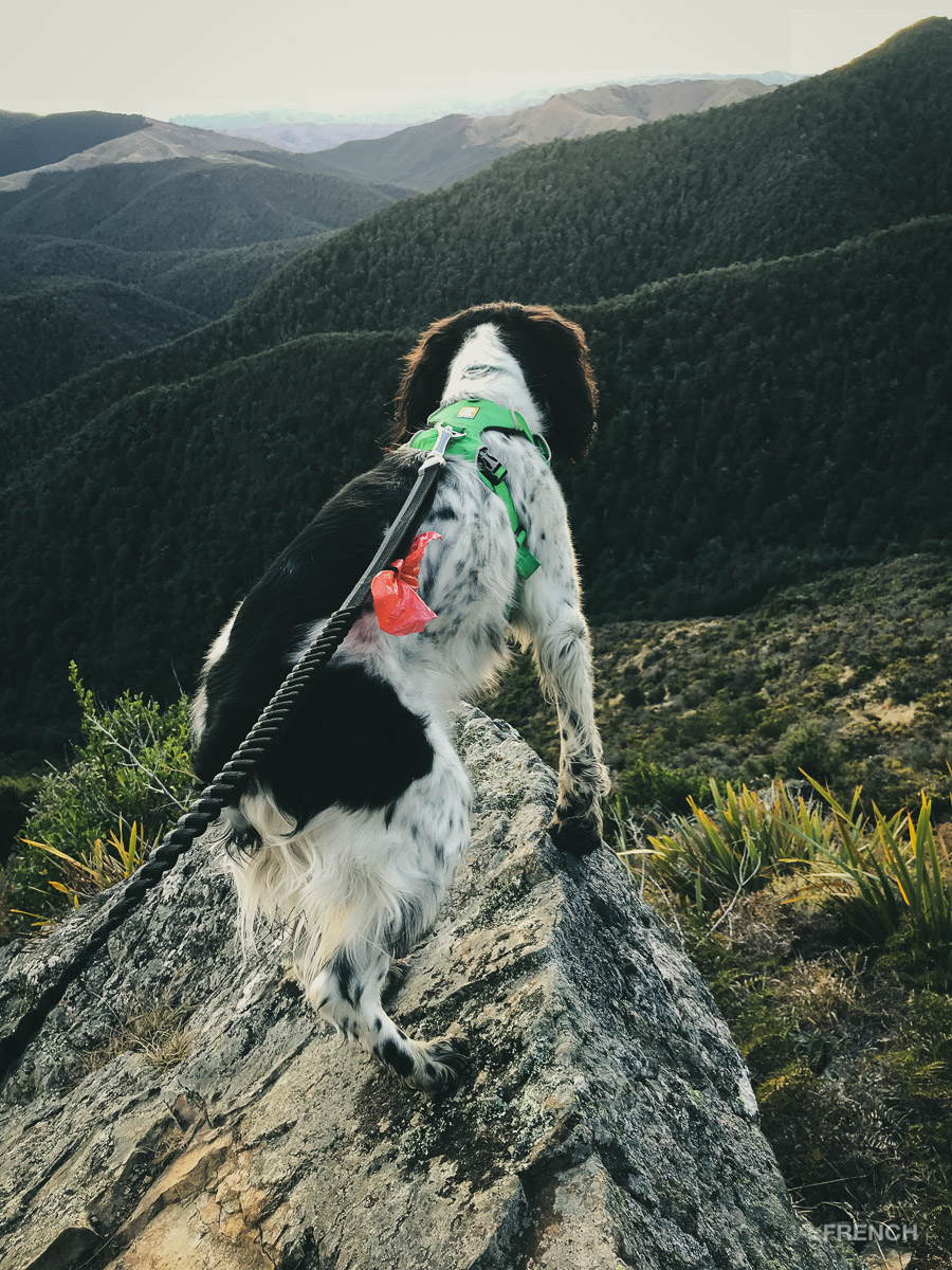
Charlie doing a Lion King impression.
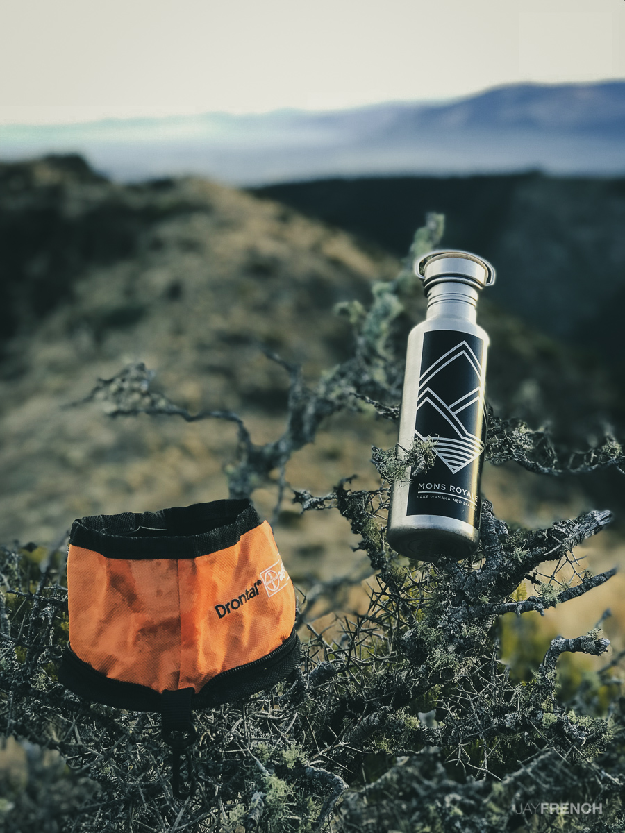
Both Charlie and I making sure we stay hydrated!


Sunset is over, we're ready to go down!

The last bit of light for the day.

We've got our lights so no worries!
Mt Thomas, Canterbury, New Zealand
North Canterbury
3 hours return
Moderate difficulty

MT THOMAS
North Canterbury
Location:
North Canterbury.
Search 'Hayland Rd' in Google Maps, drive to the end of the road, easy parking in the picnic / camping area. Check the gate closing time.
Difficulty:
Moderate.
Steep climbs, some chutes and rock scrabbling. Coming down even steeper, very hard on the legs.
Time:
Approx 3.5 hours.
2.5 hours up, 45 min down
Dogs:
On leash only.
On this trip Charlie and I went a little later in the day, knowing that the way down was far quicker than the way up, we knew we could stay up the top for a potential sunset, and still get down before it was properly dark (although we only just made it).
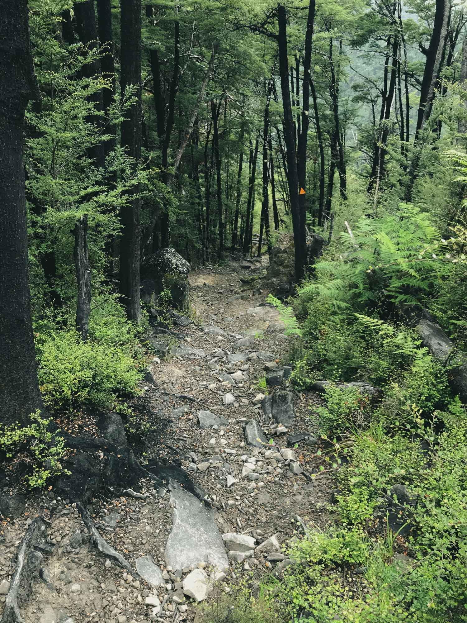
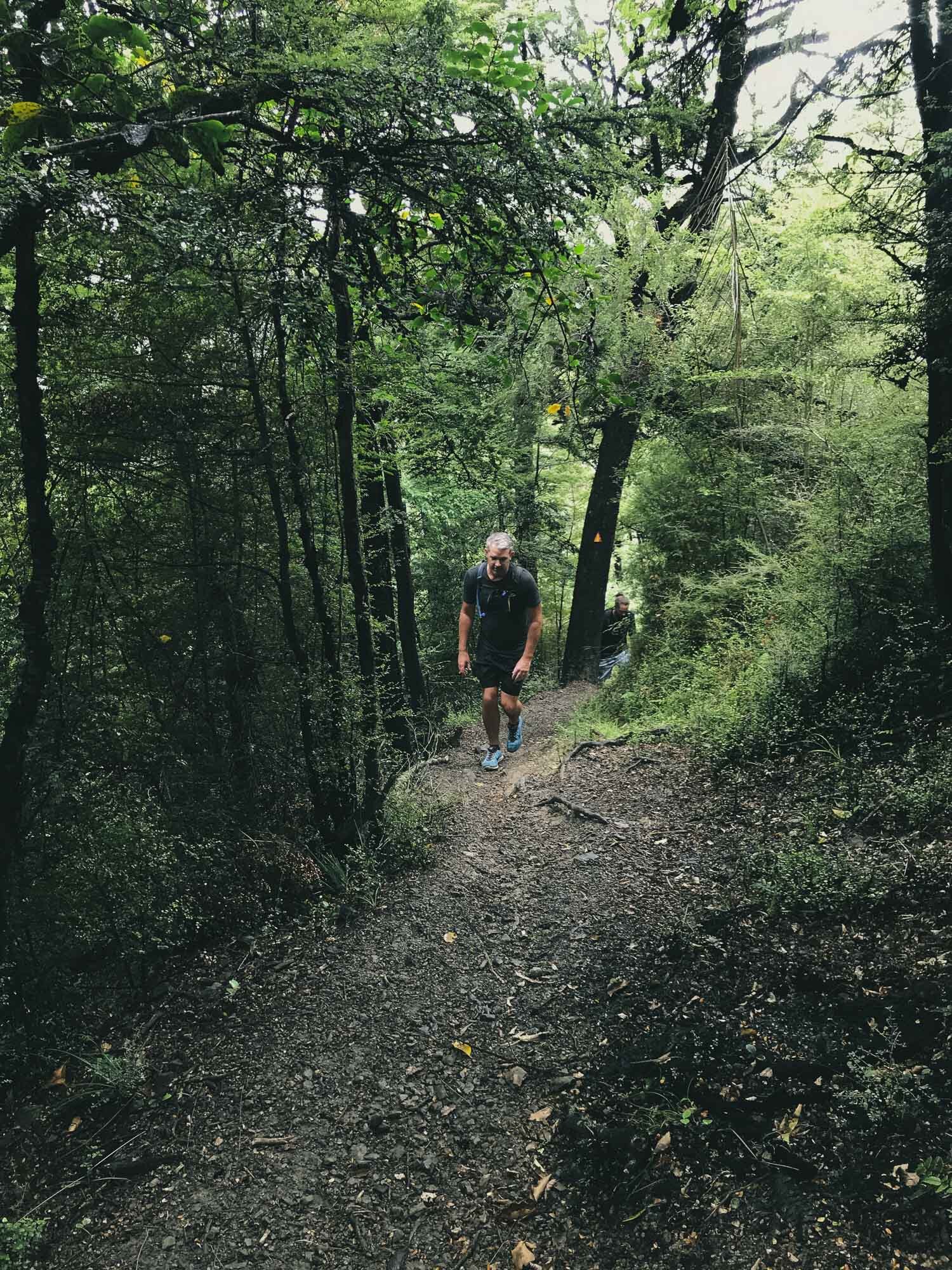
On this particular trip, we did the Wooded Gully track up to the Ridge track, and took the Ridge track to the summit, then took the Summit Track down. The way up is a beautiful winding trail, plenty of rock, roots, gnarly bits to keep it interesting. Steep in places, good fitness required. Summit track down is non-stop steep, make sure your dog doesn't pull. Your legs will get tired from trying to keep them locked. It's a very direct track, helpful for getting down quickly, but will make your hammies and quads sore if you walk it at pace.


Charlie spots a tasty looking waterfall.

A few rooty climbs on the trail.

Half way views over the Canterbury Plains.

Views of the ridge track, weather closing in fast.

Still a bit cold up here.

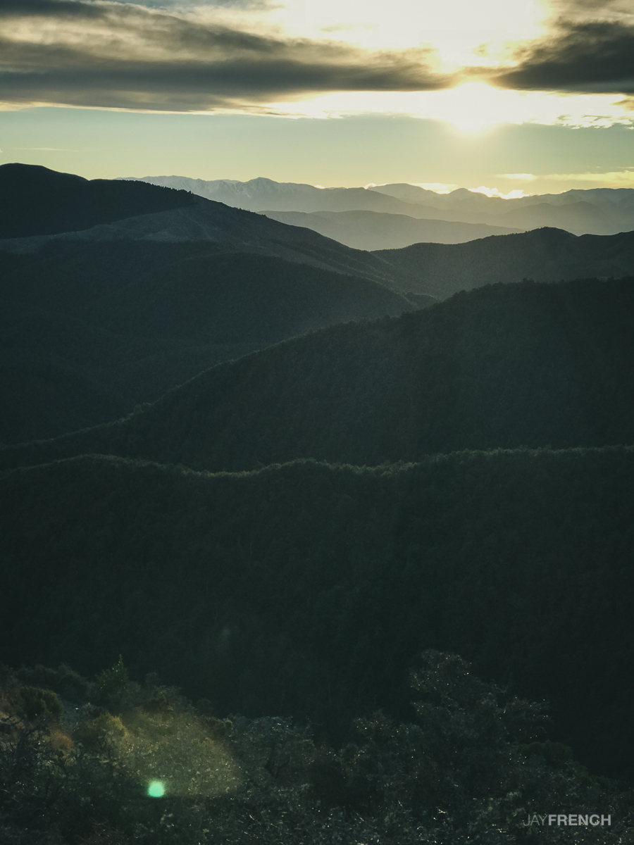
Panorama from the summit.

Views out towards Kaikoura.

Weather closing in. Time to head down the summit track. Getting dark too.

Charlie washing his muddy paws in the river. Dark by this time.