
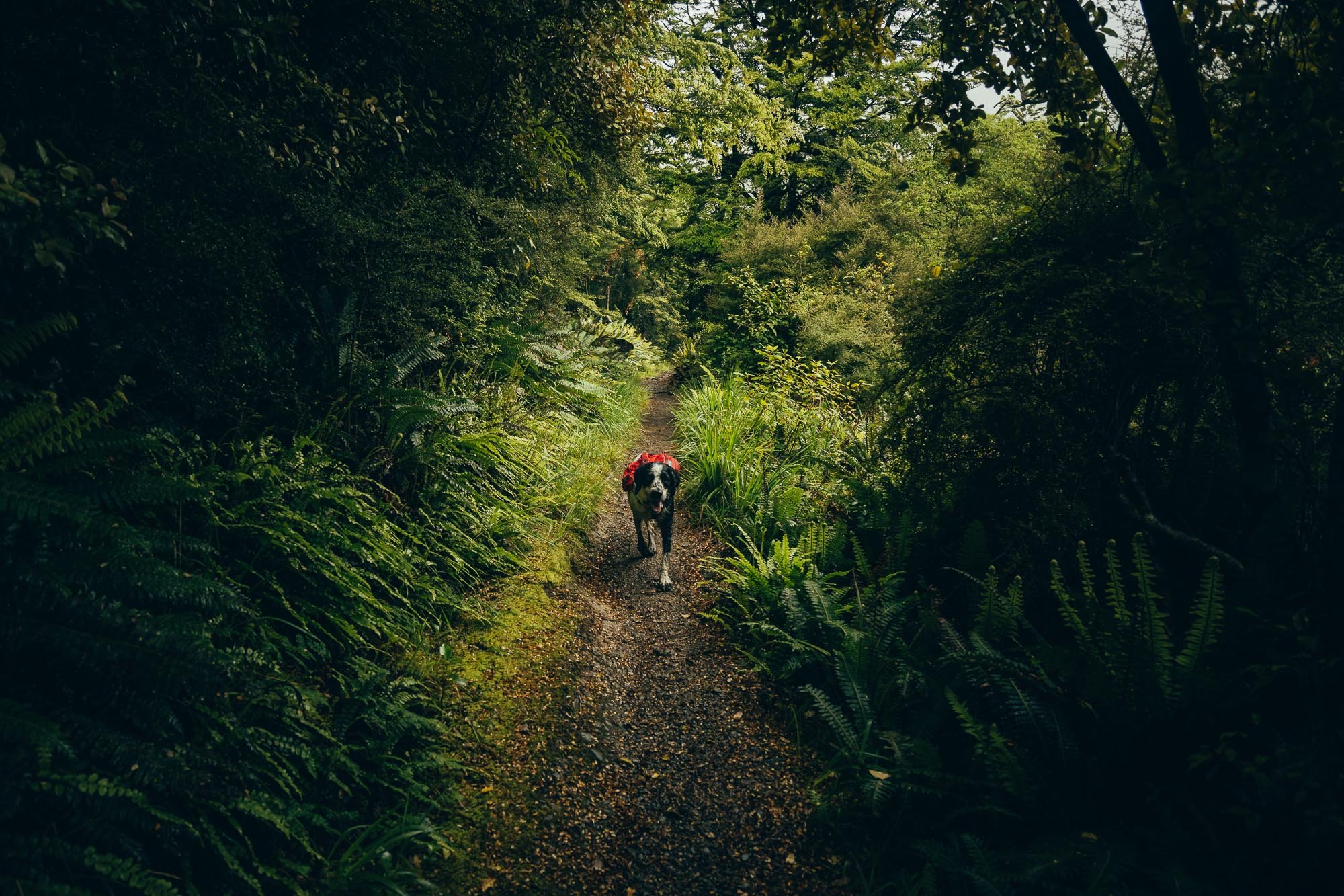
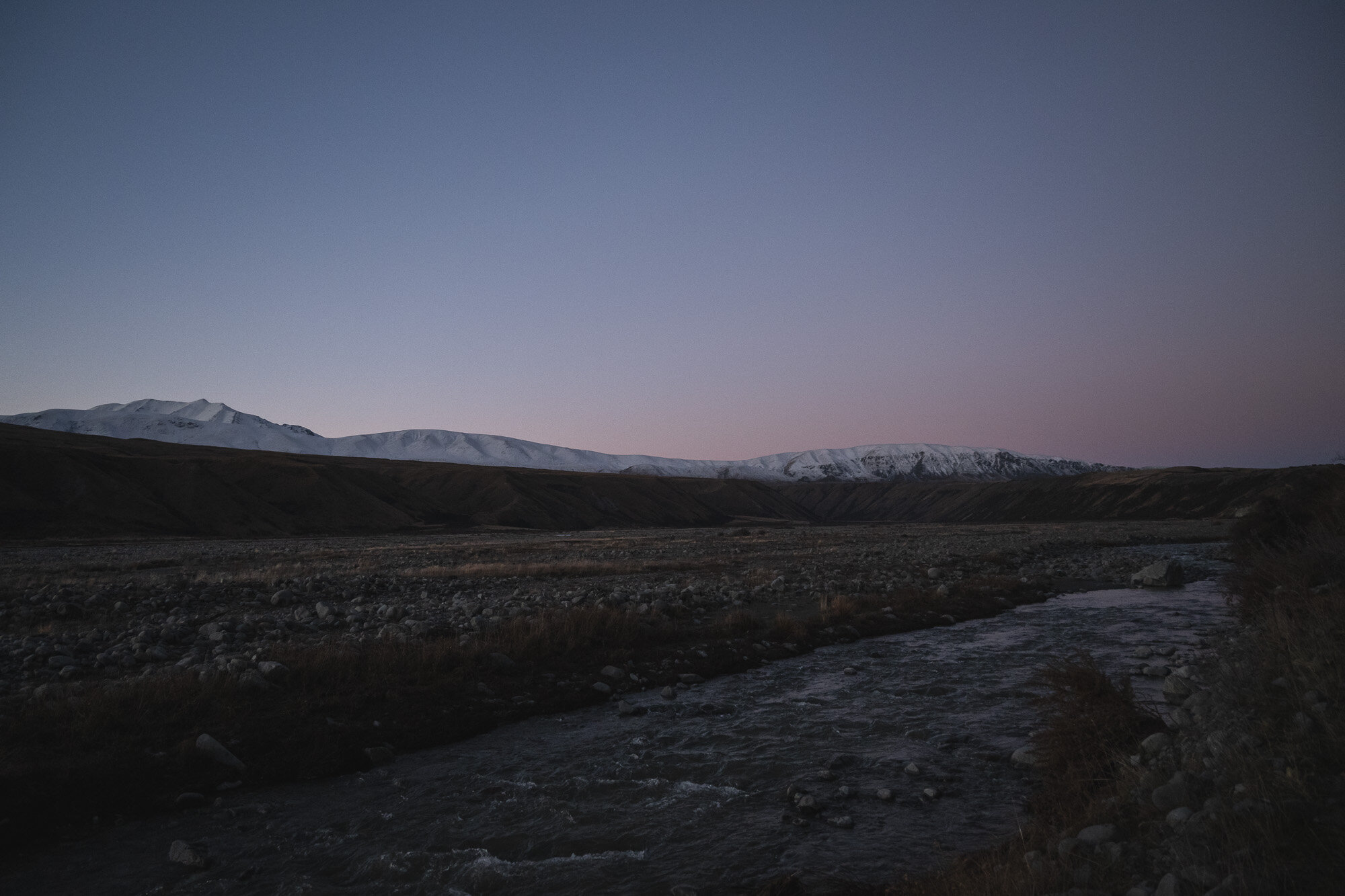
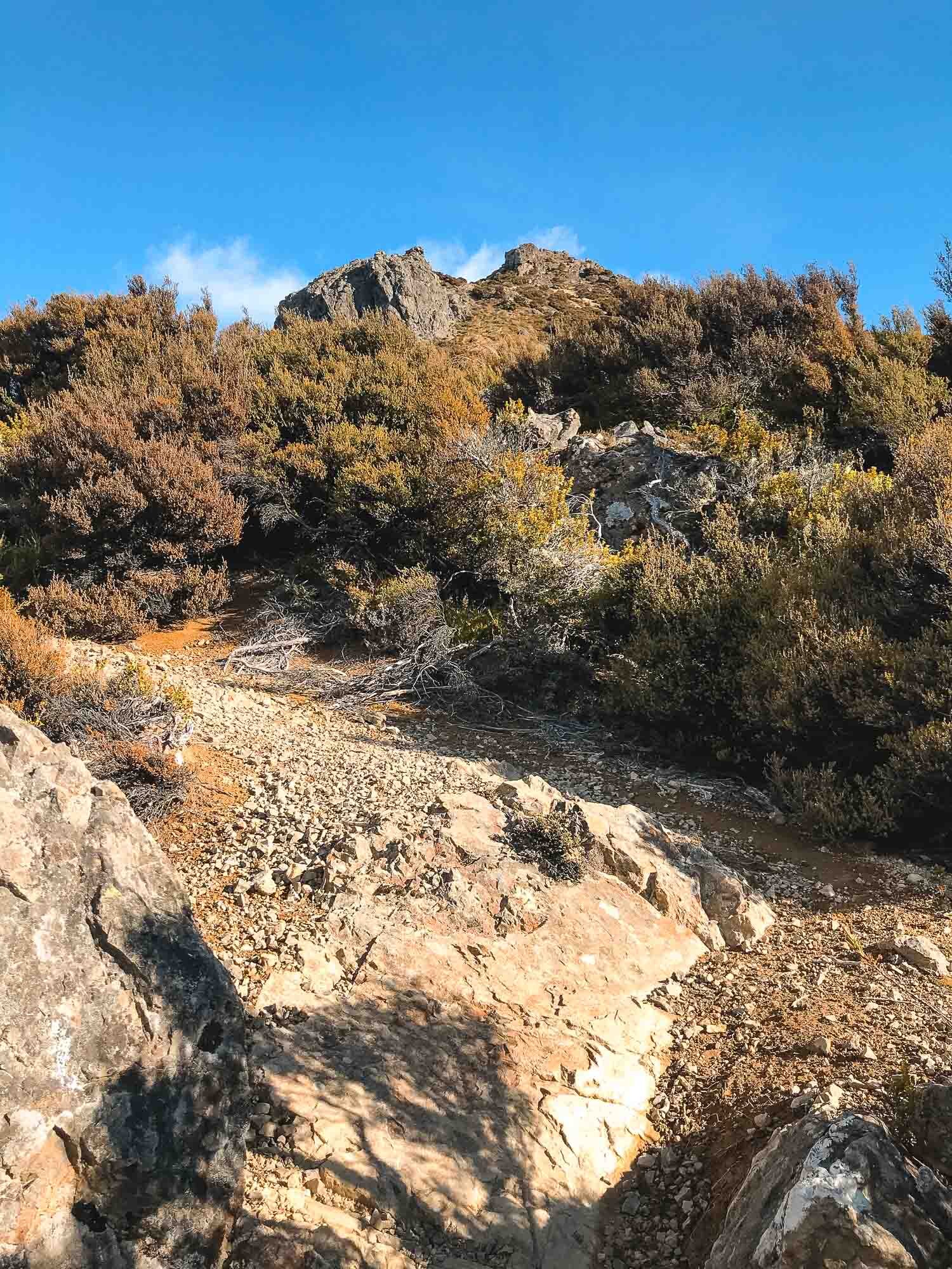
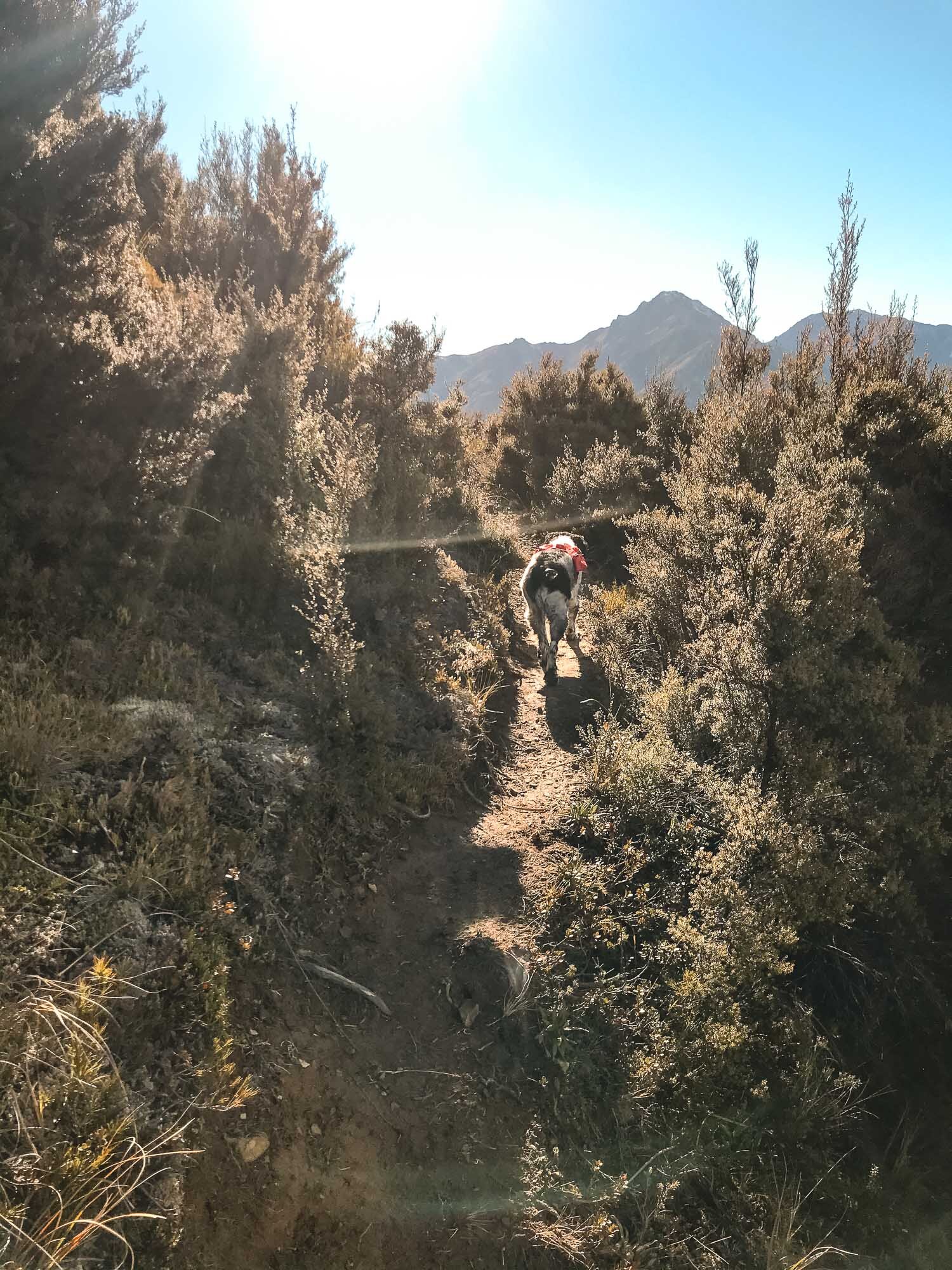
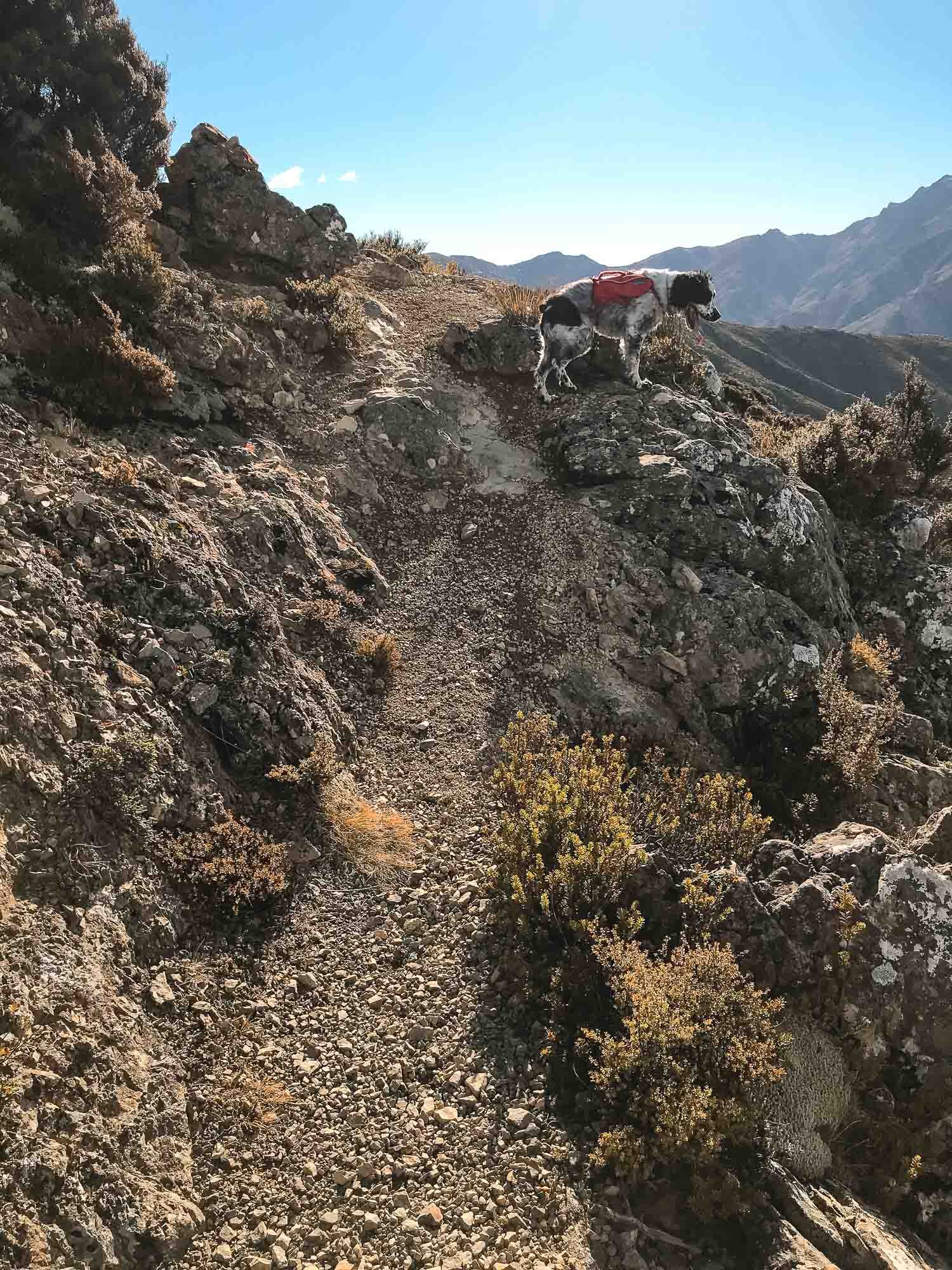
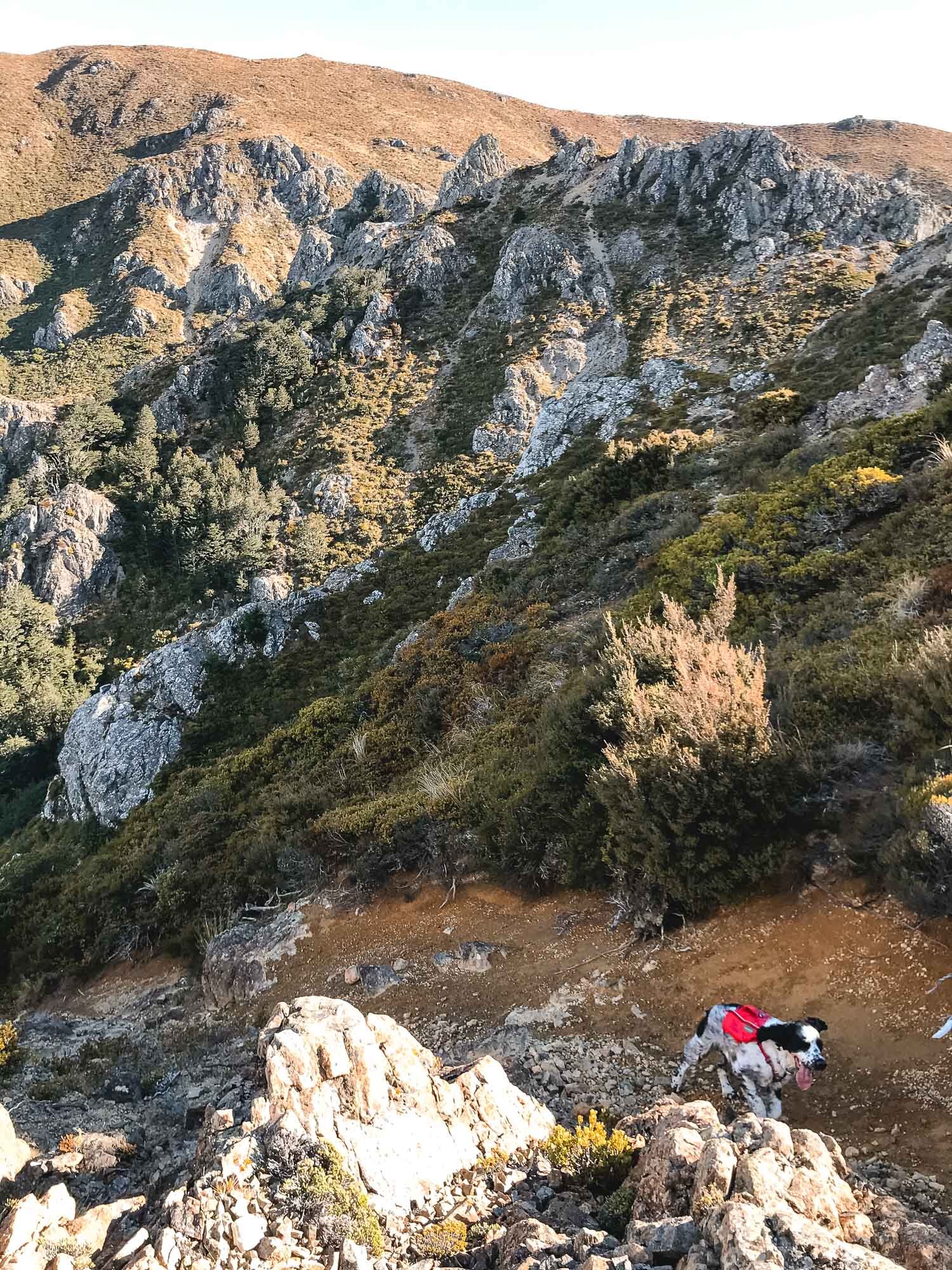
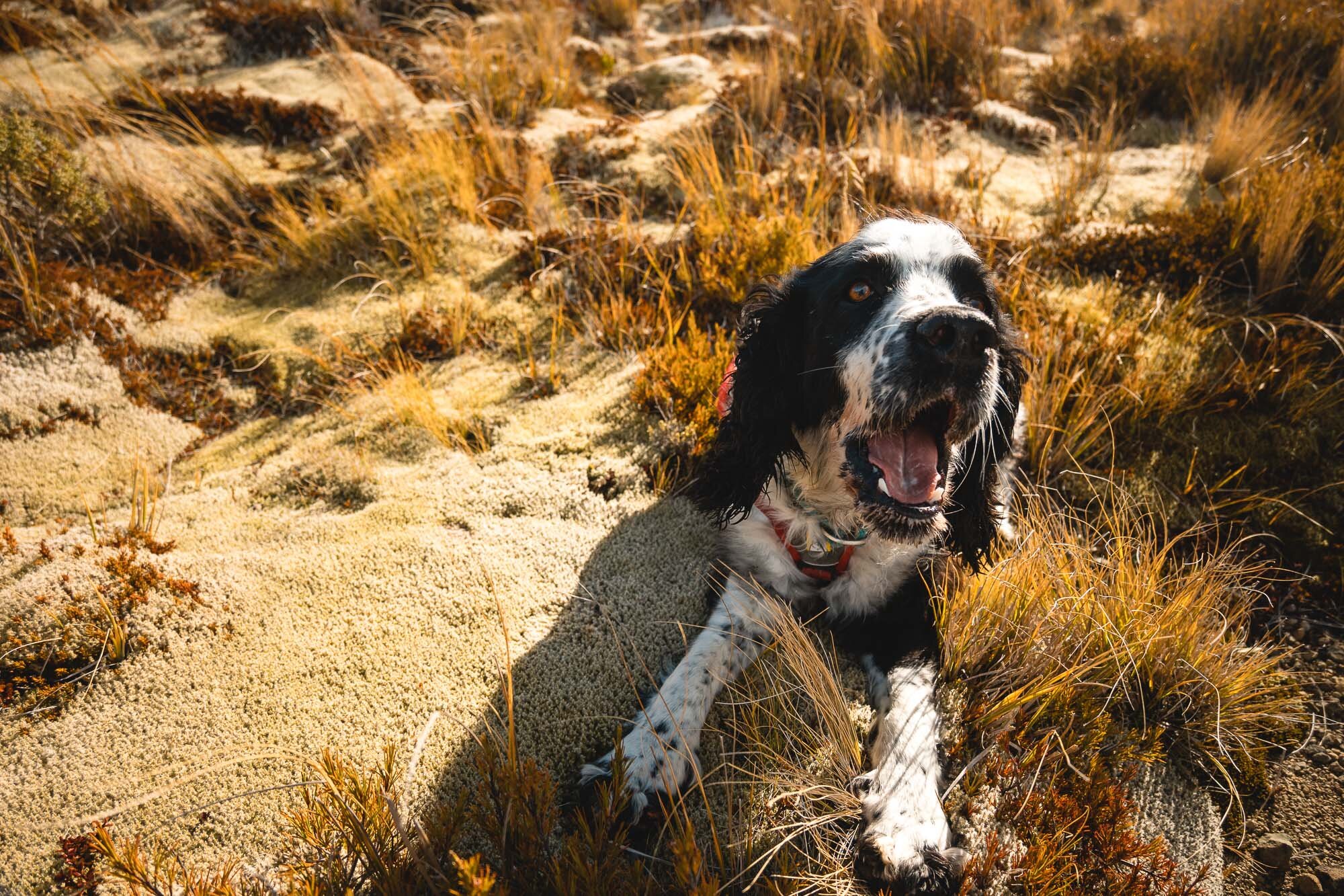
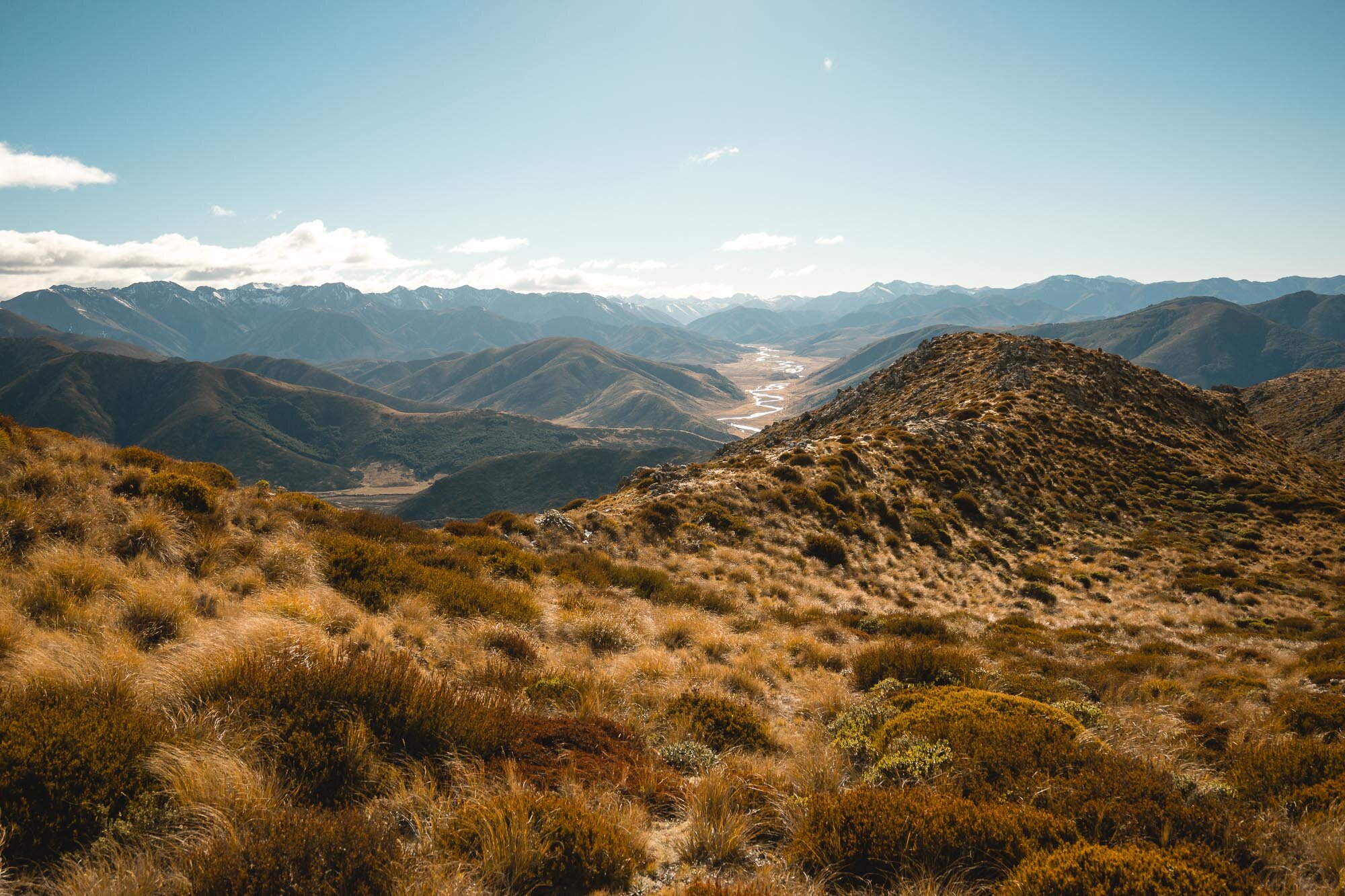
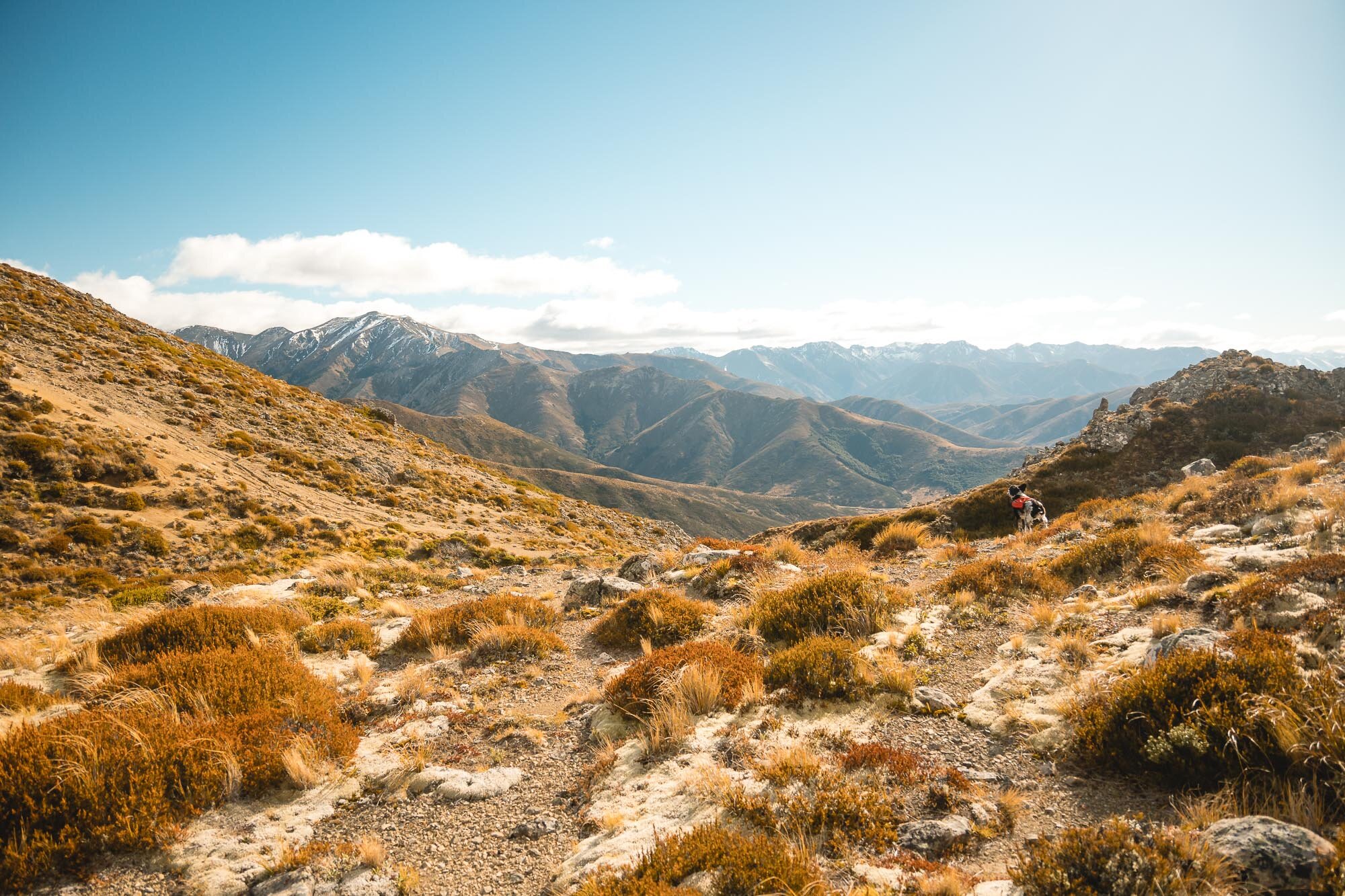
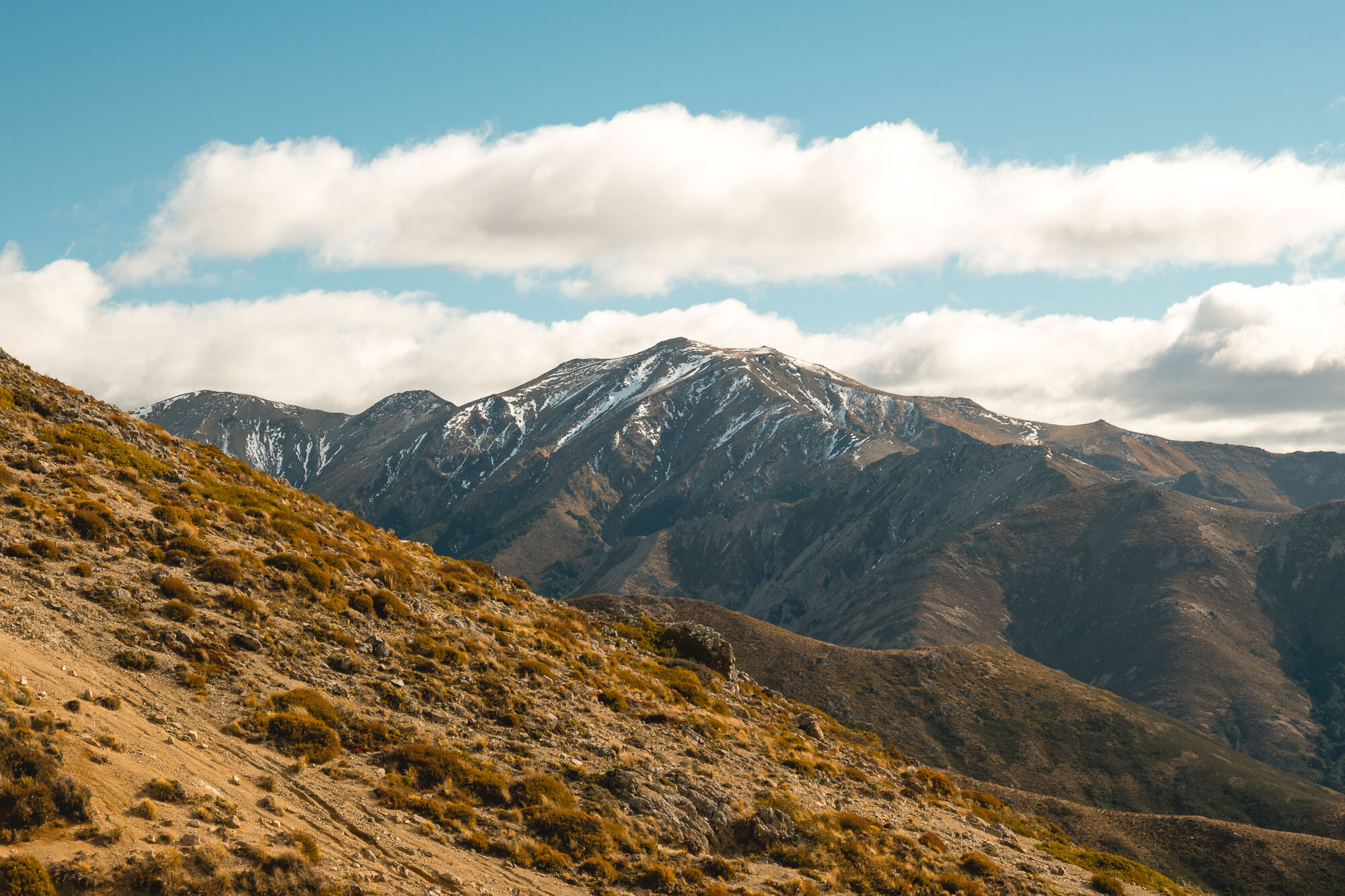
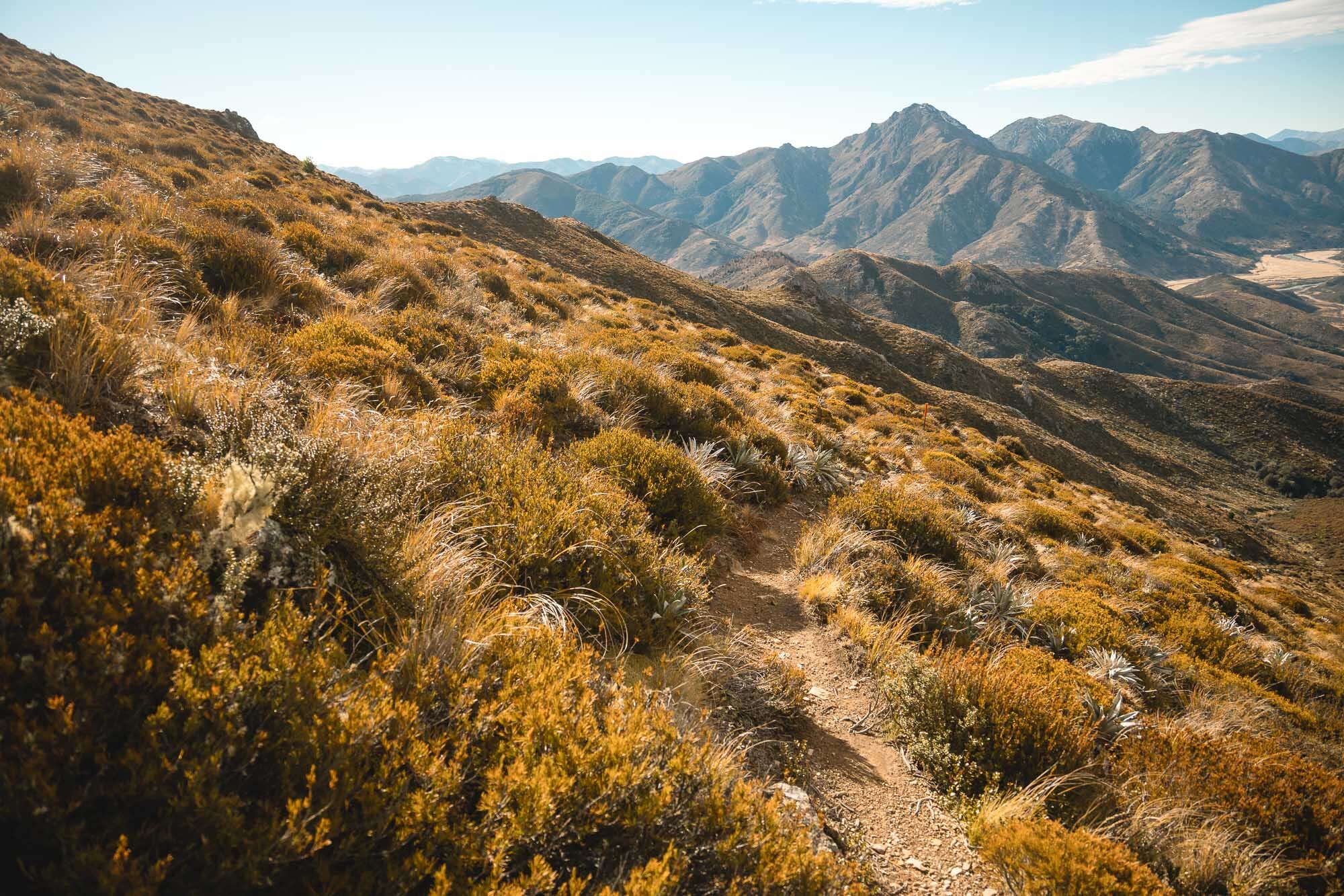
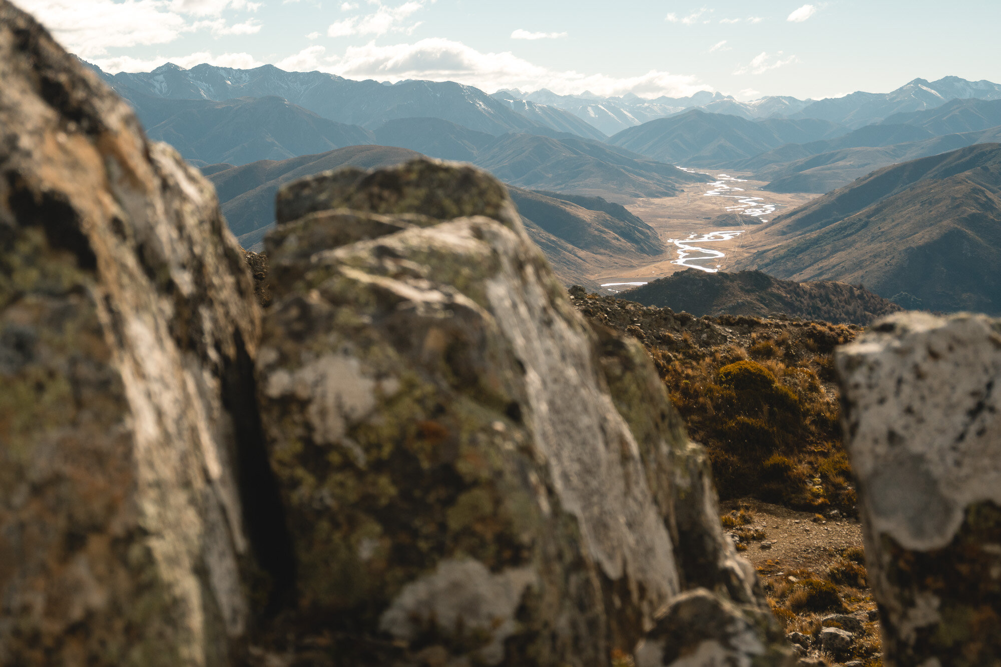
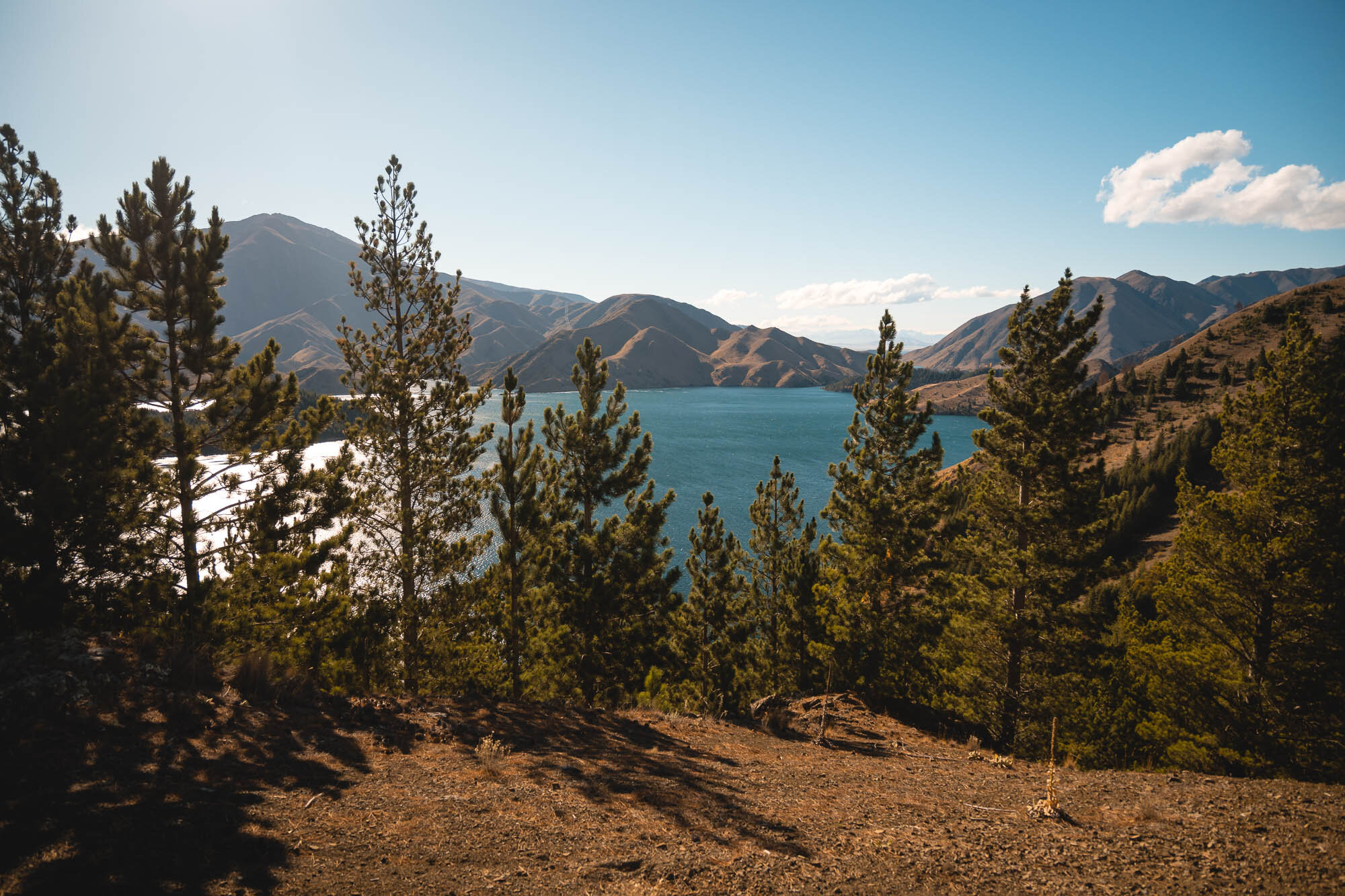
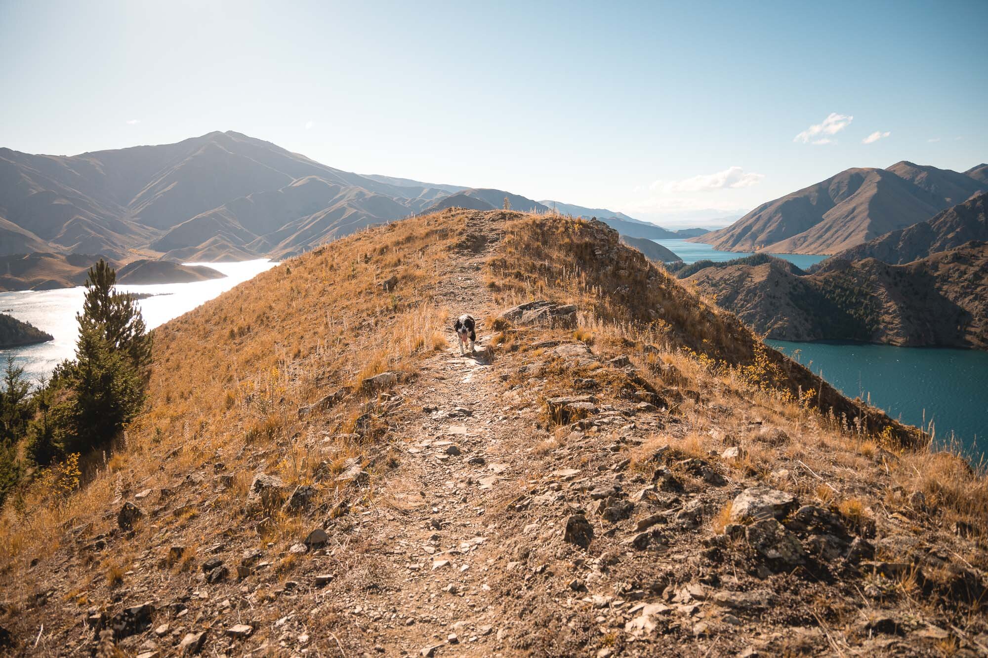
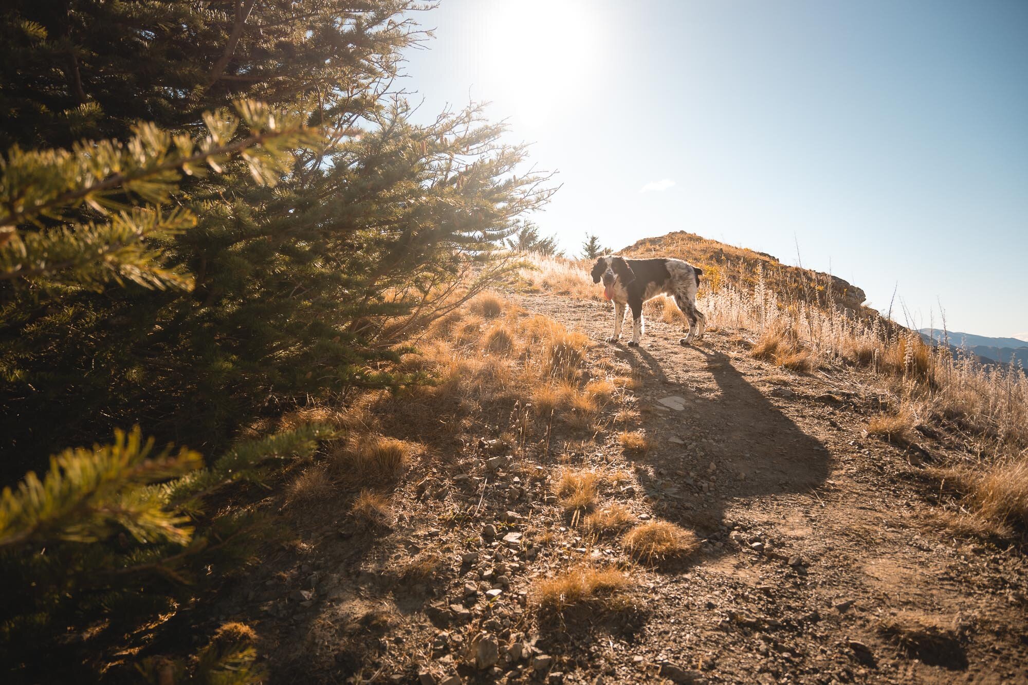
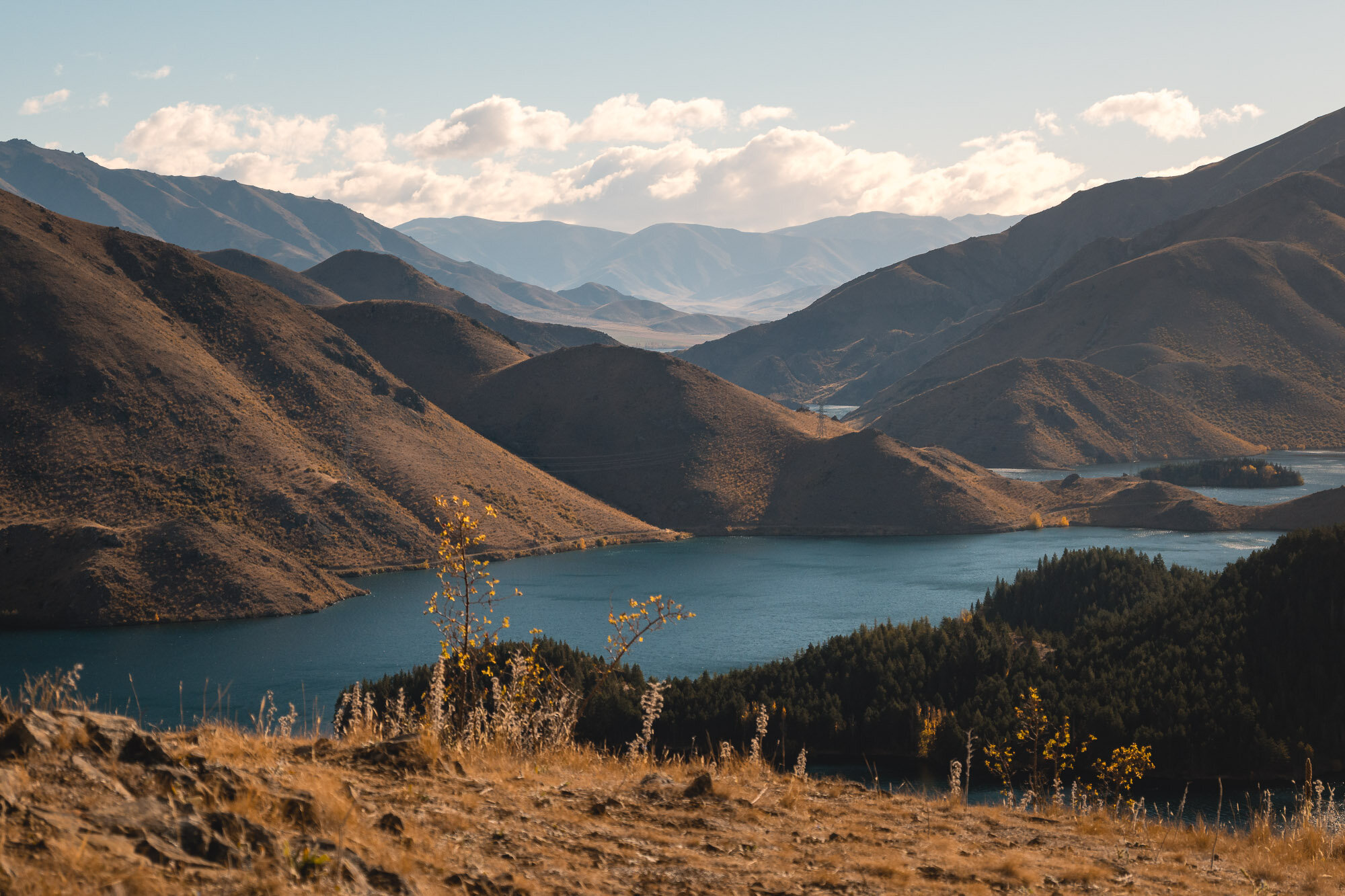
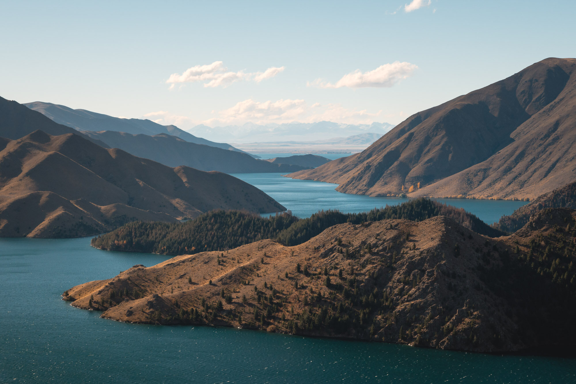
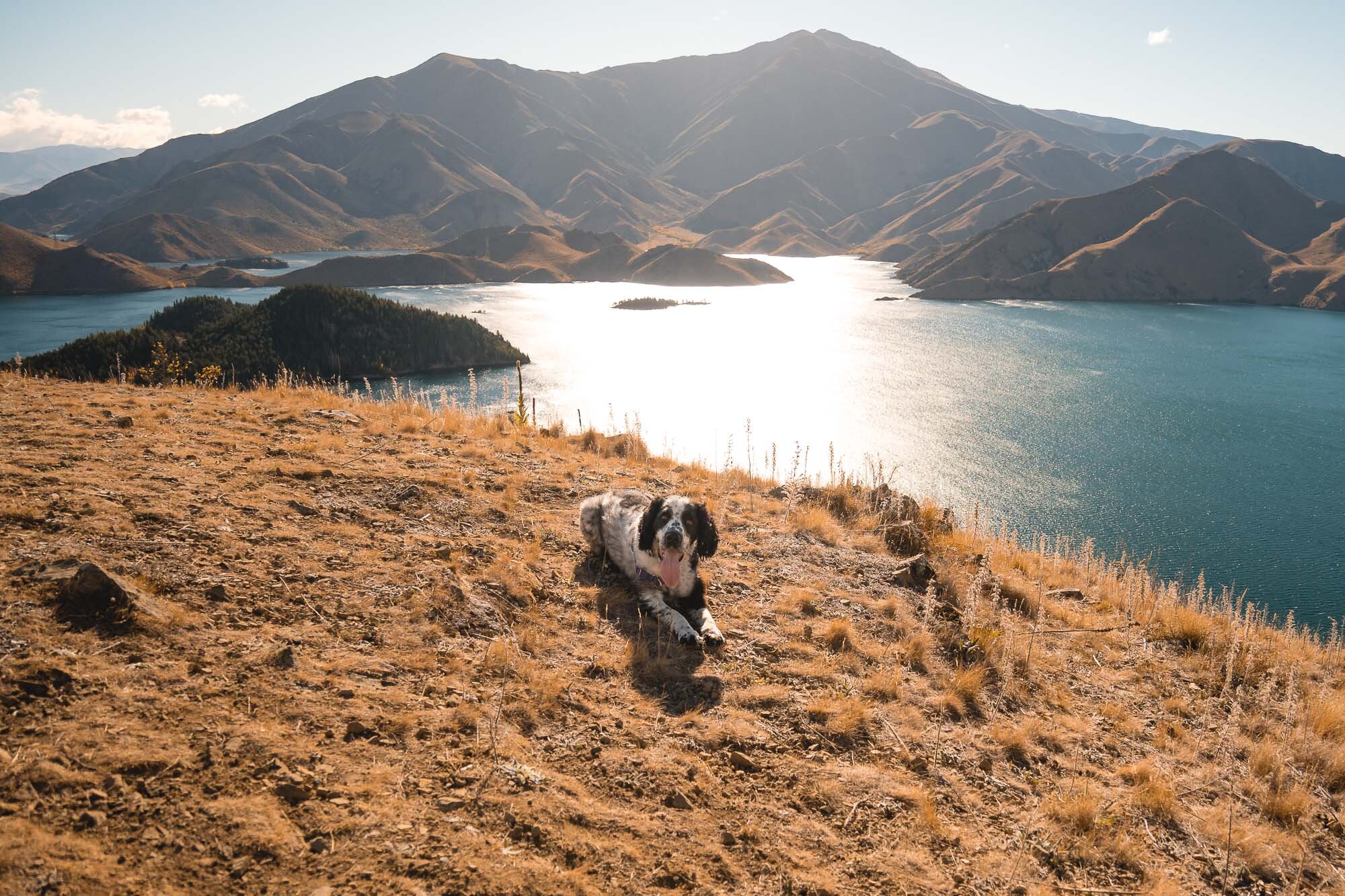
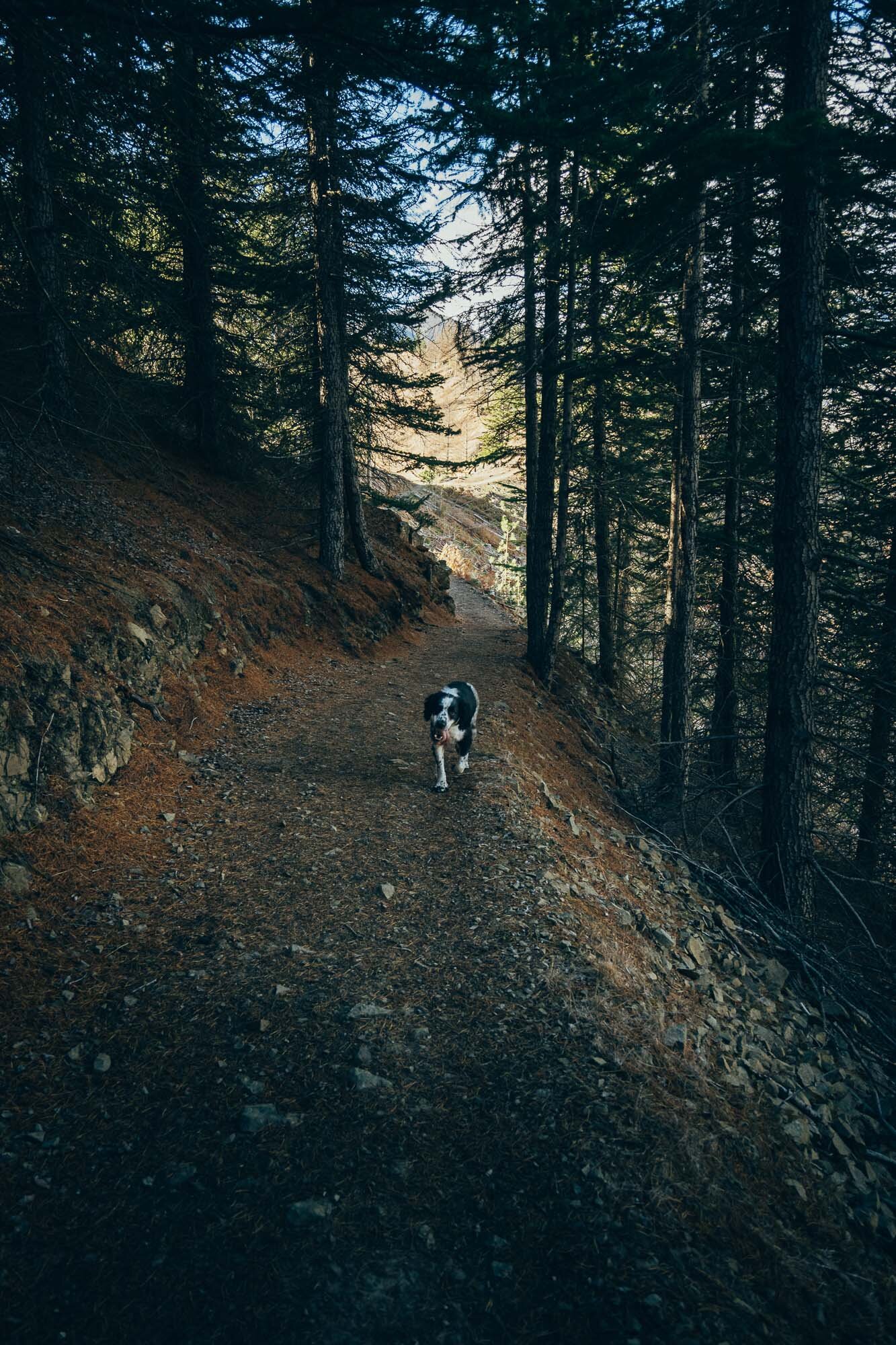
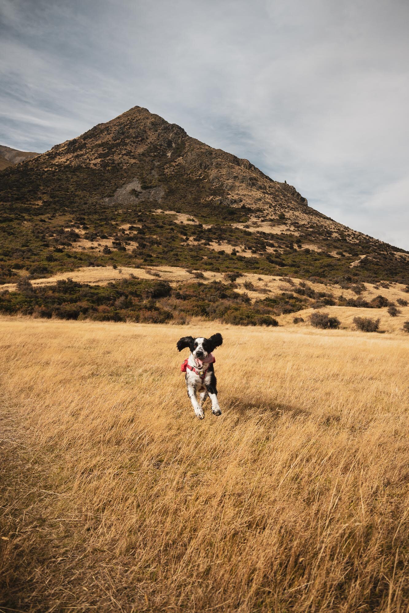
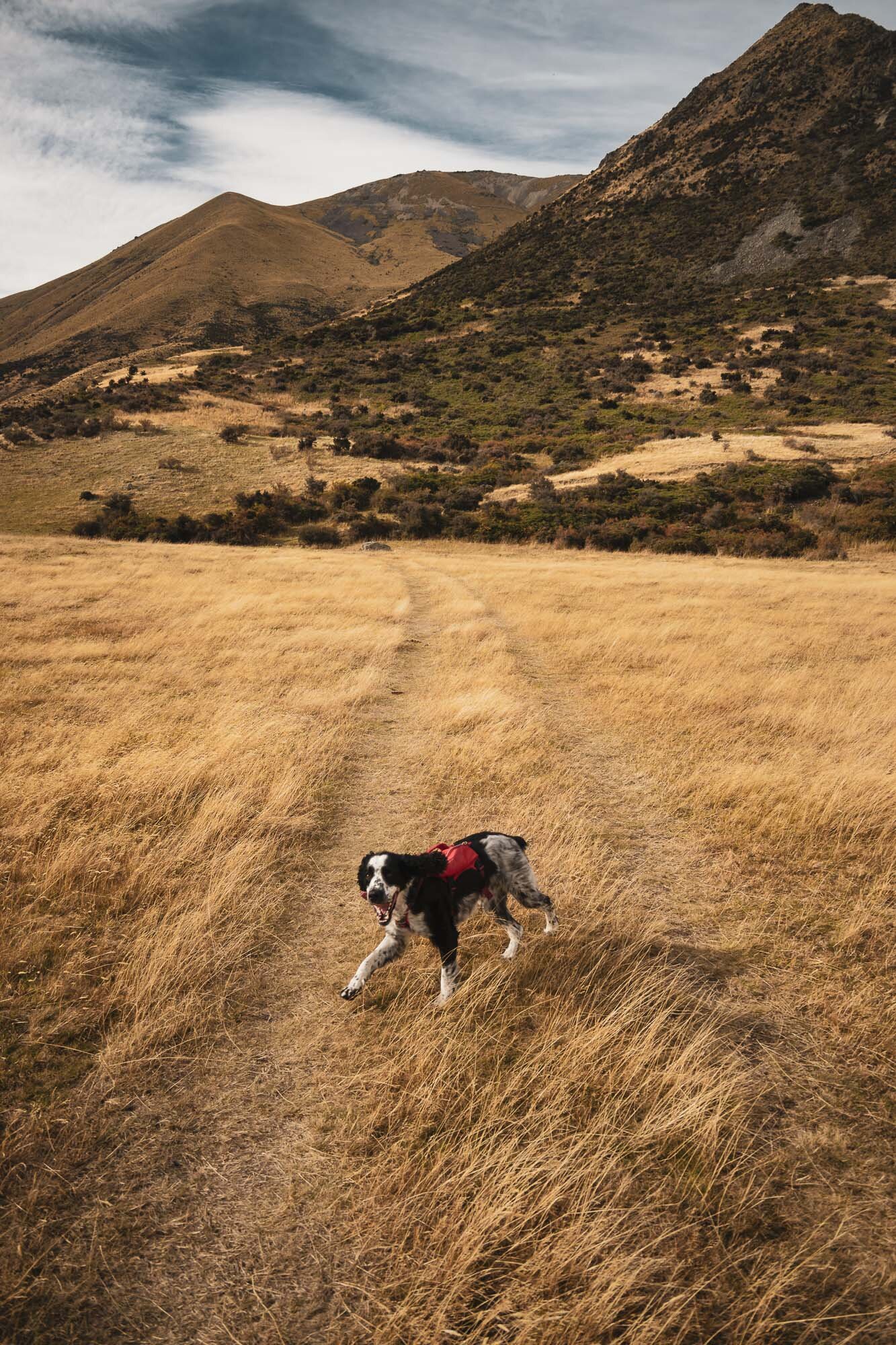
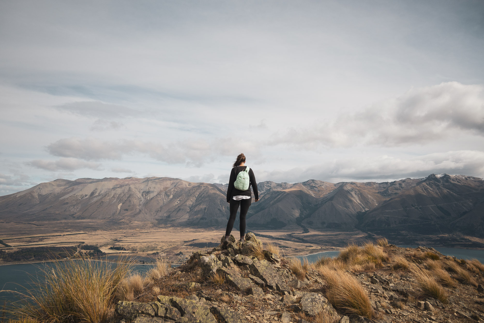
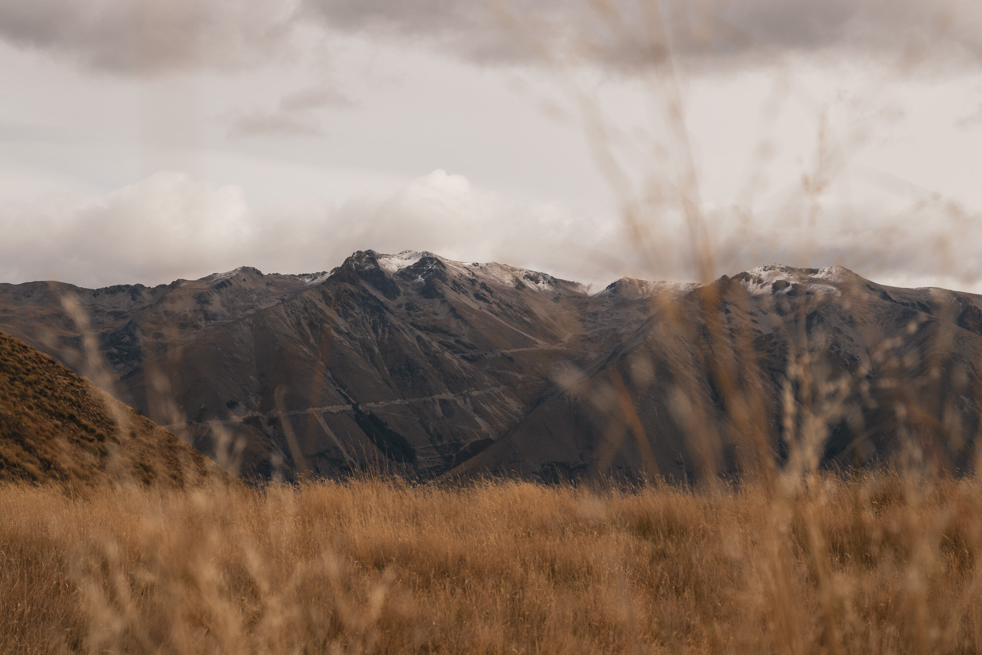
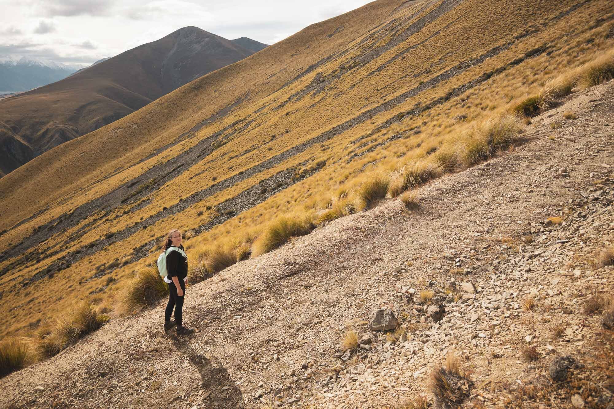
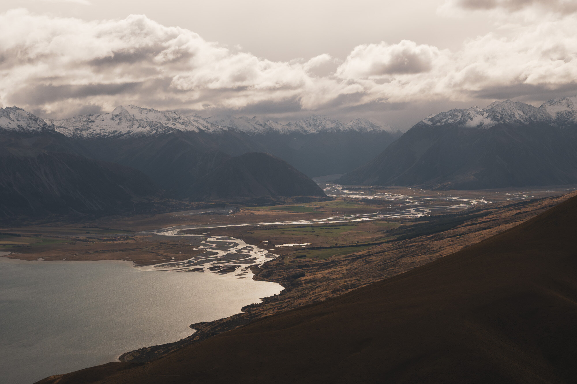
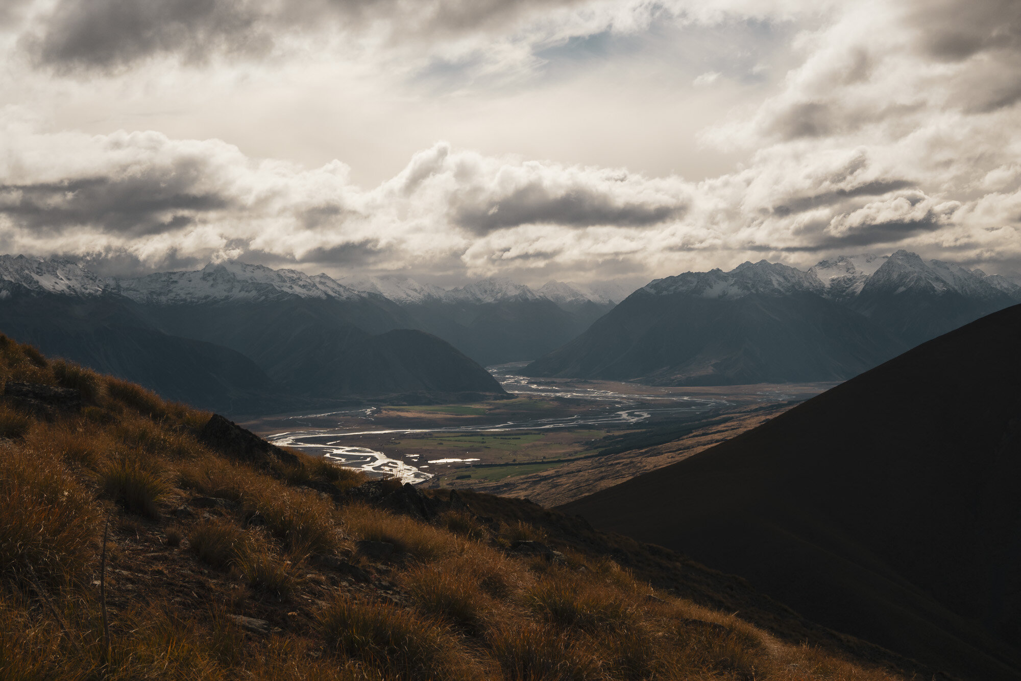
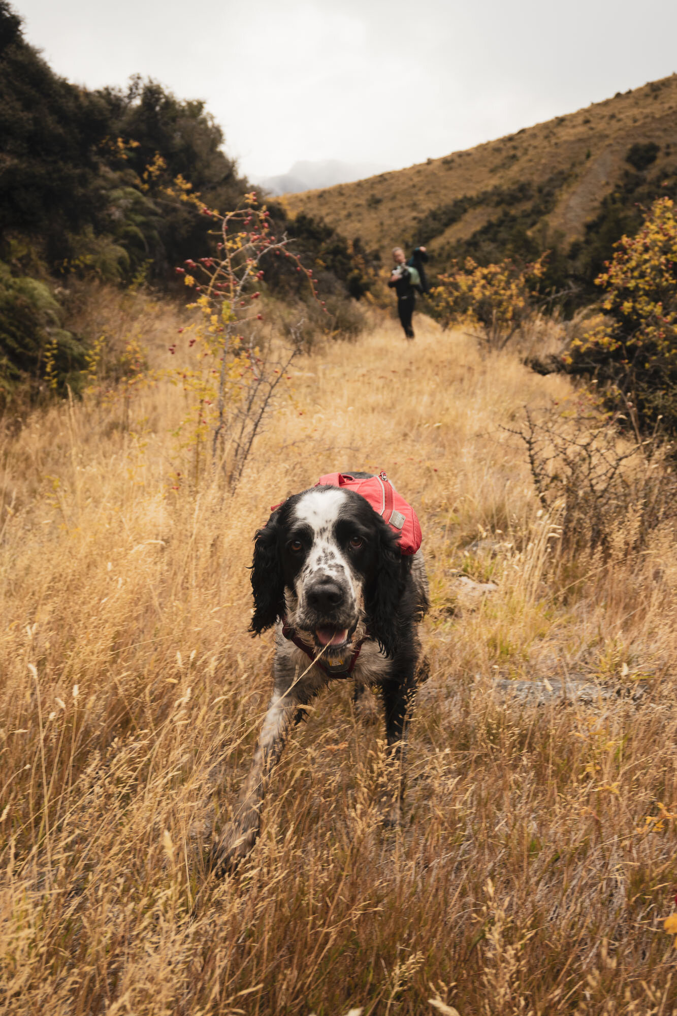
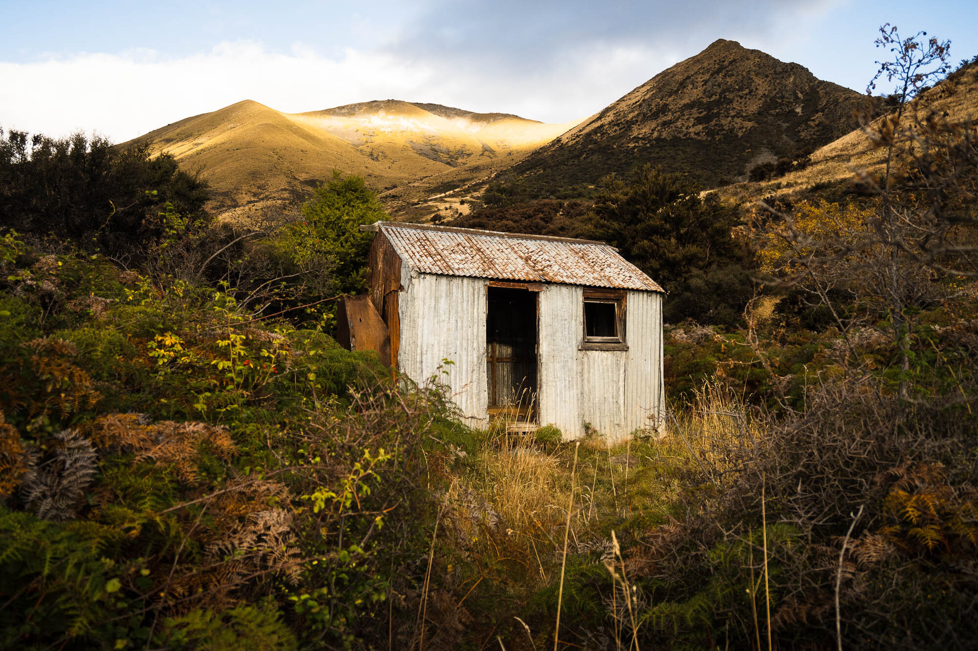
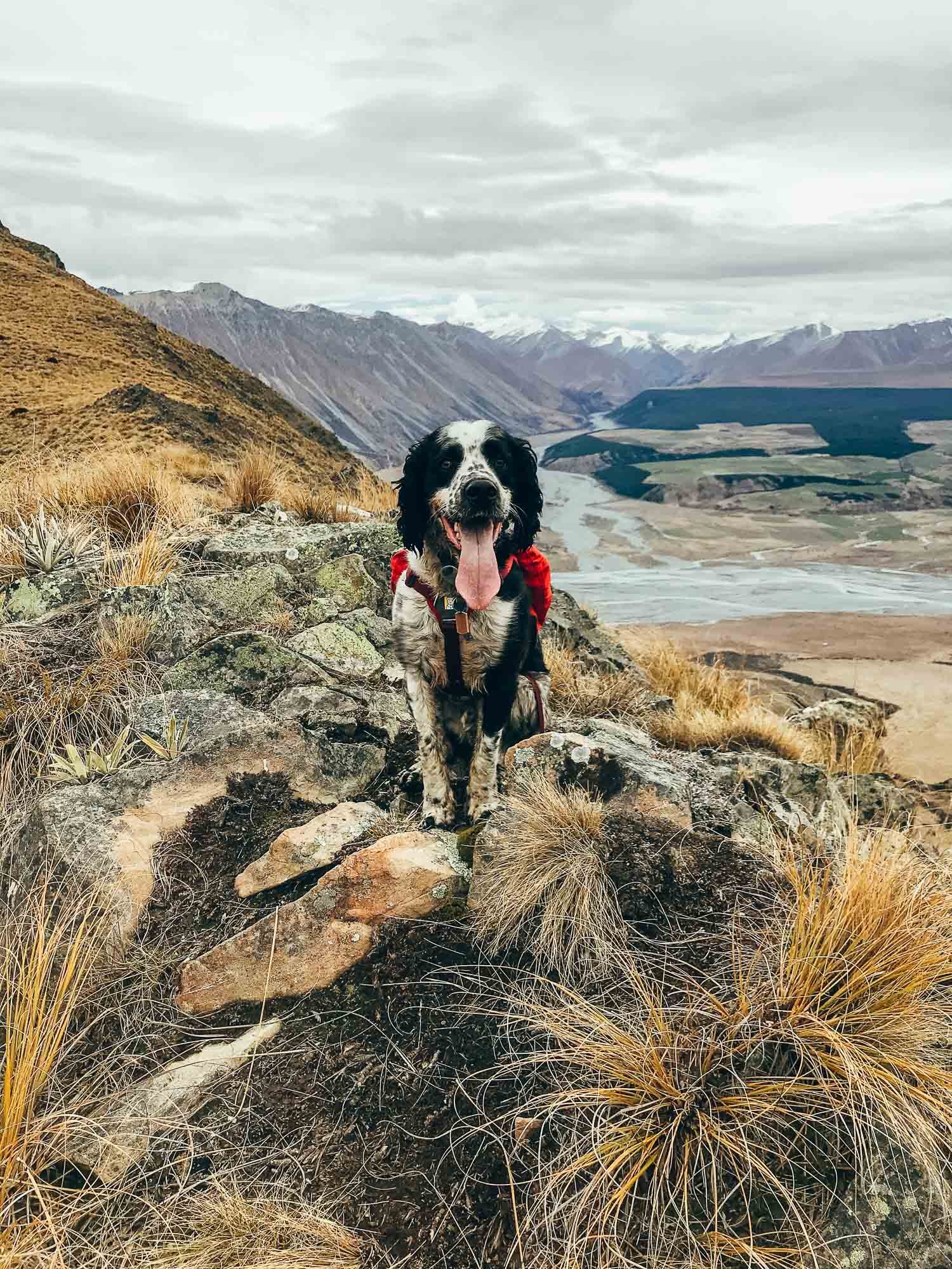
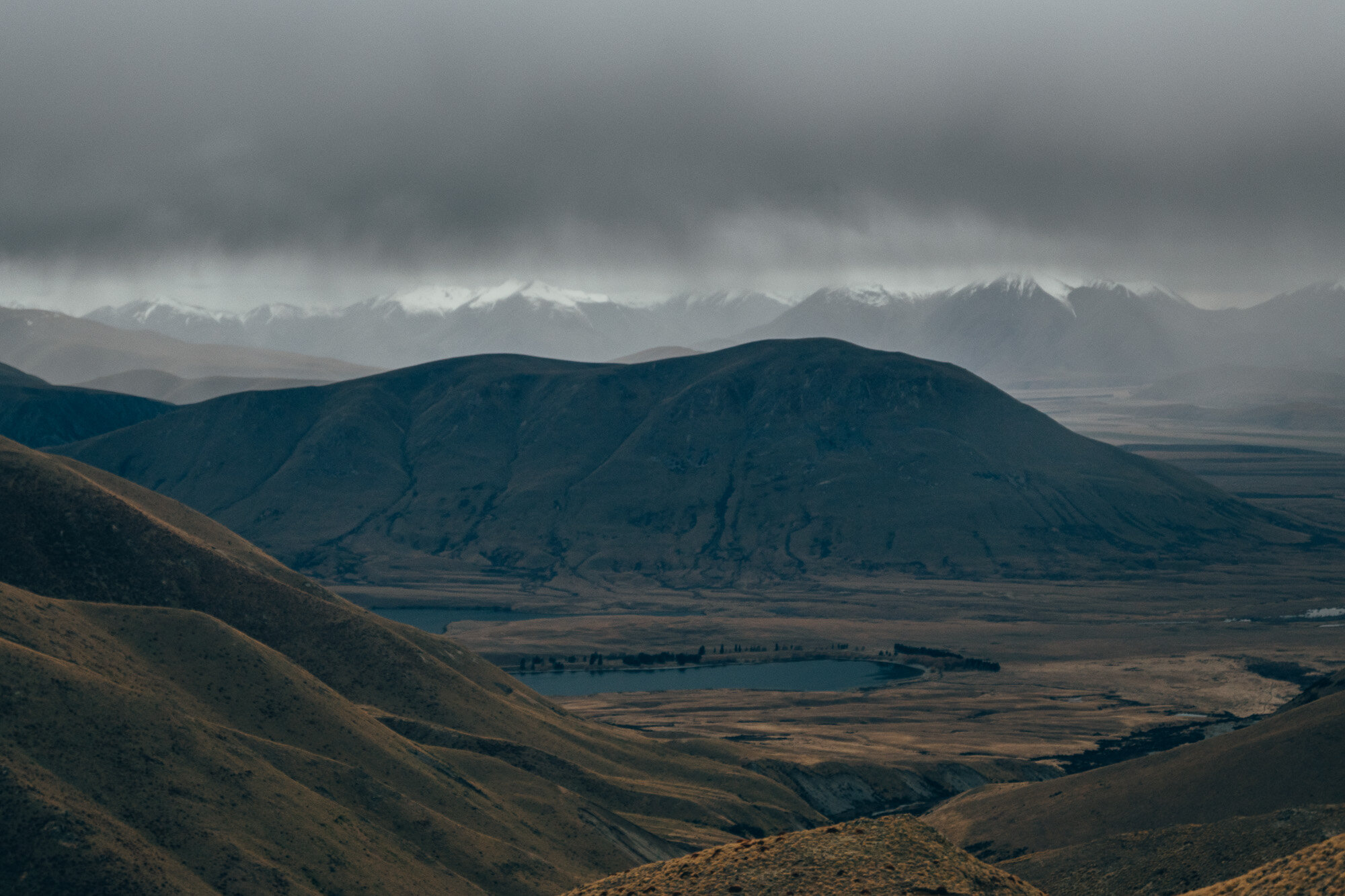
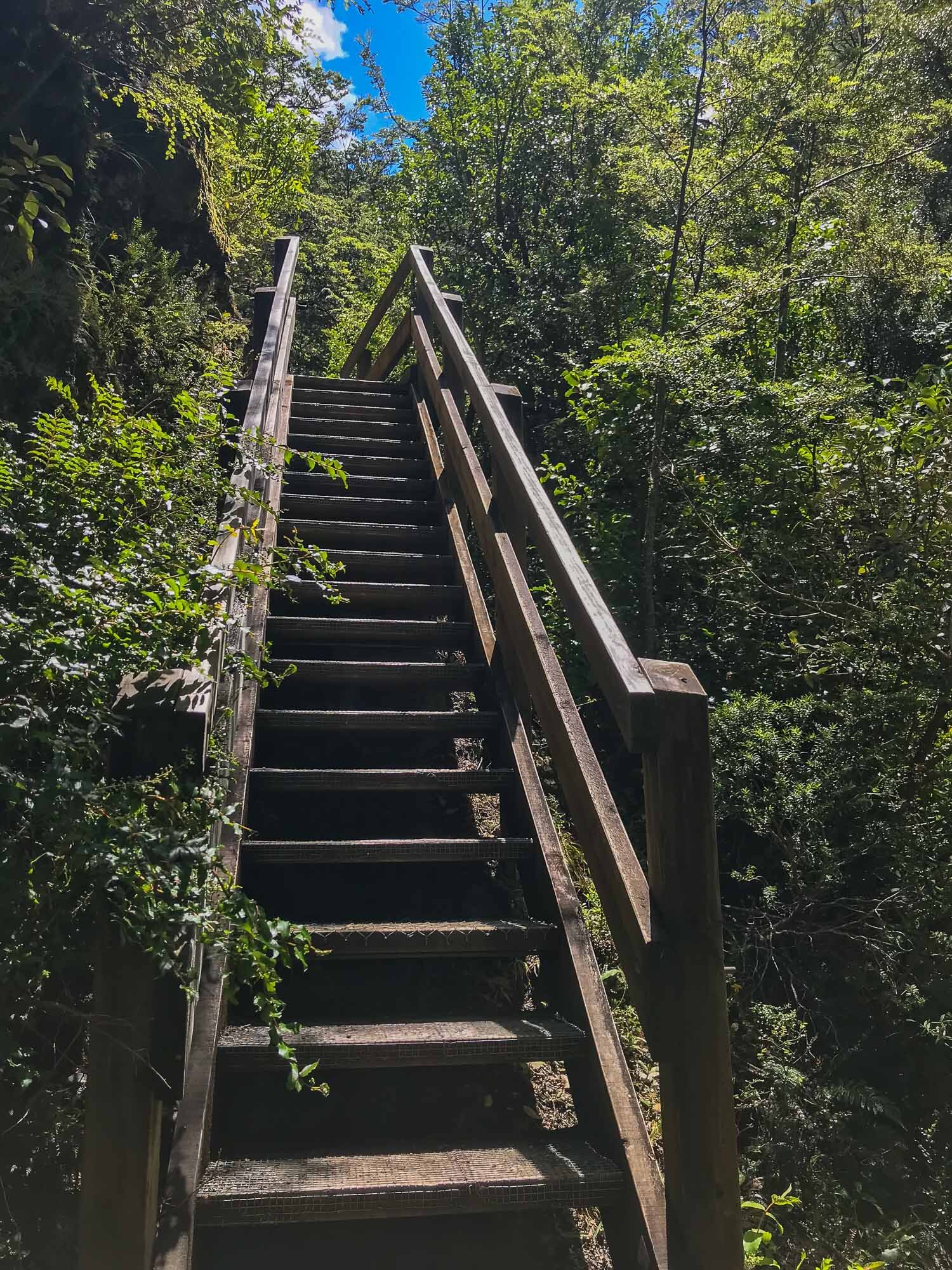
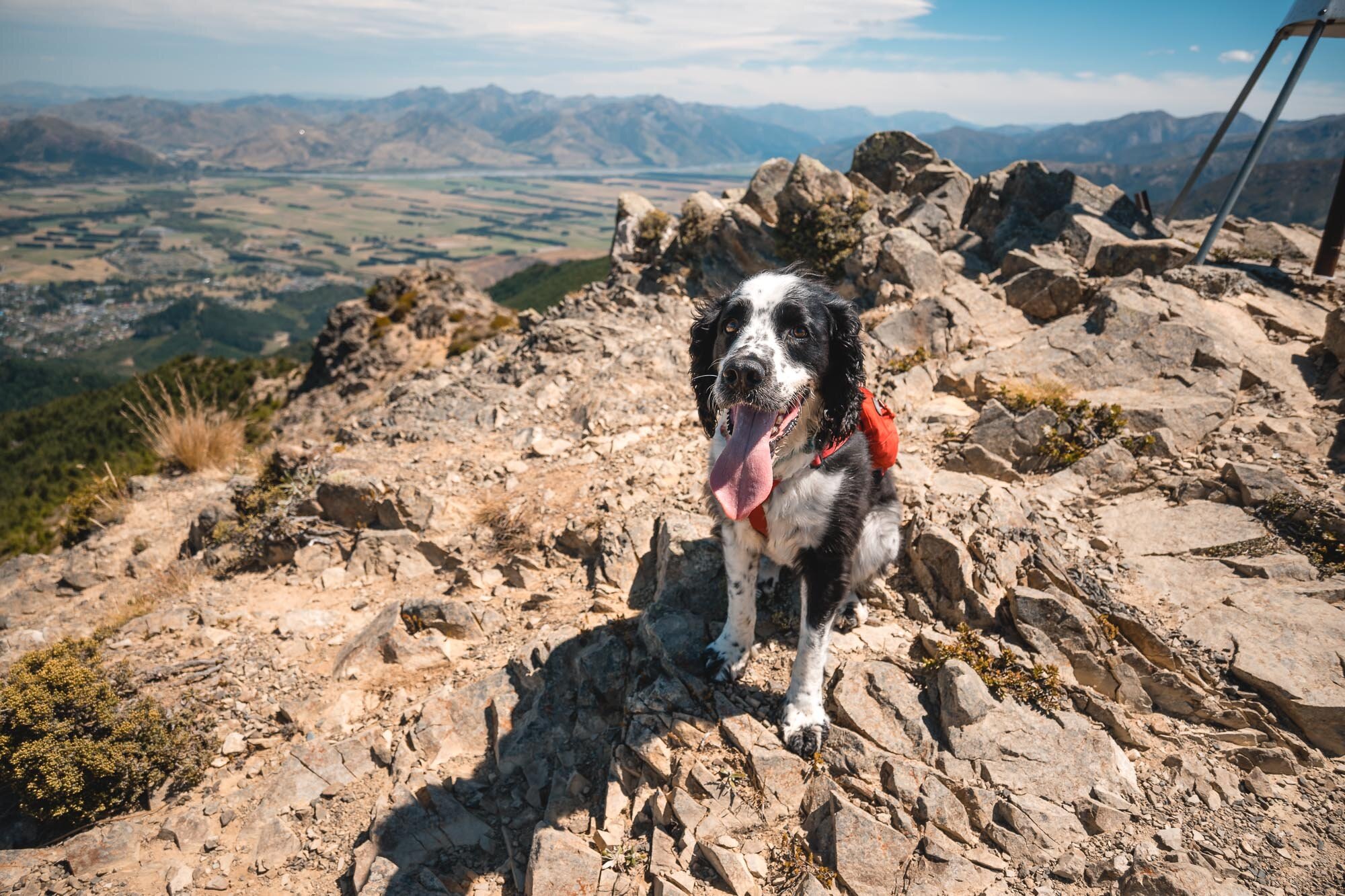
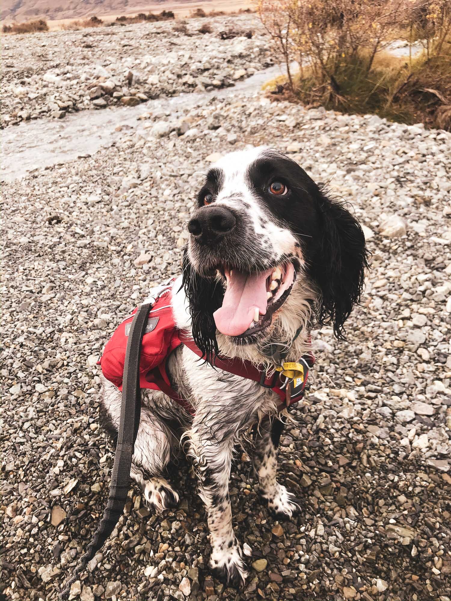
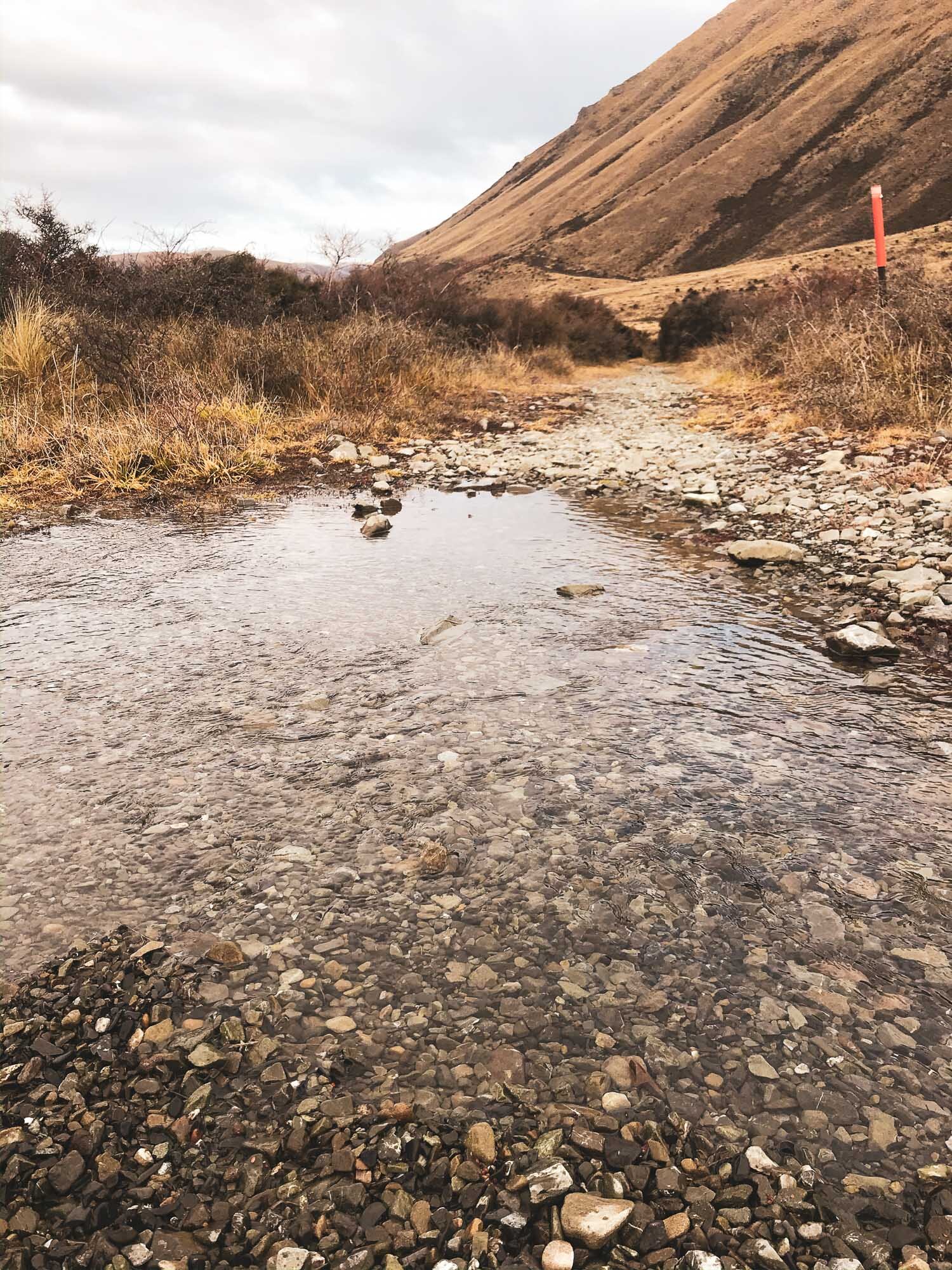
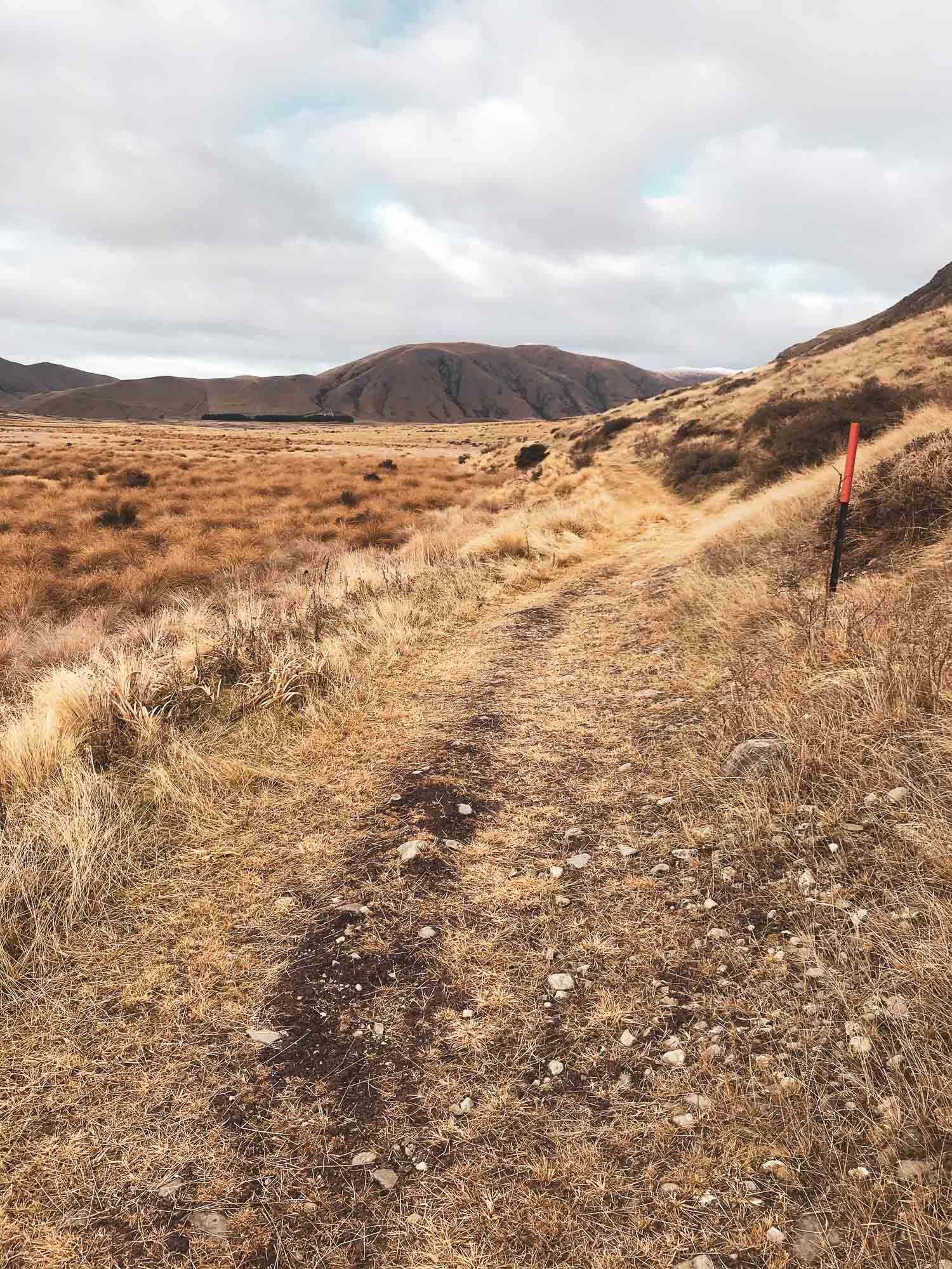
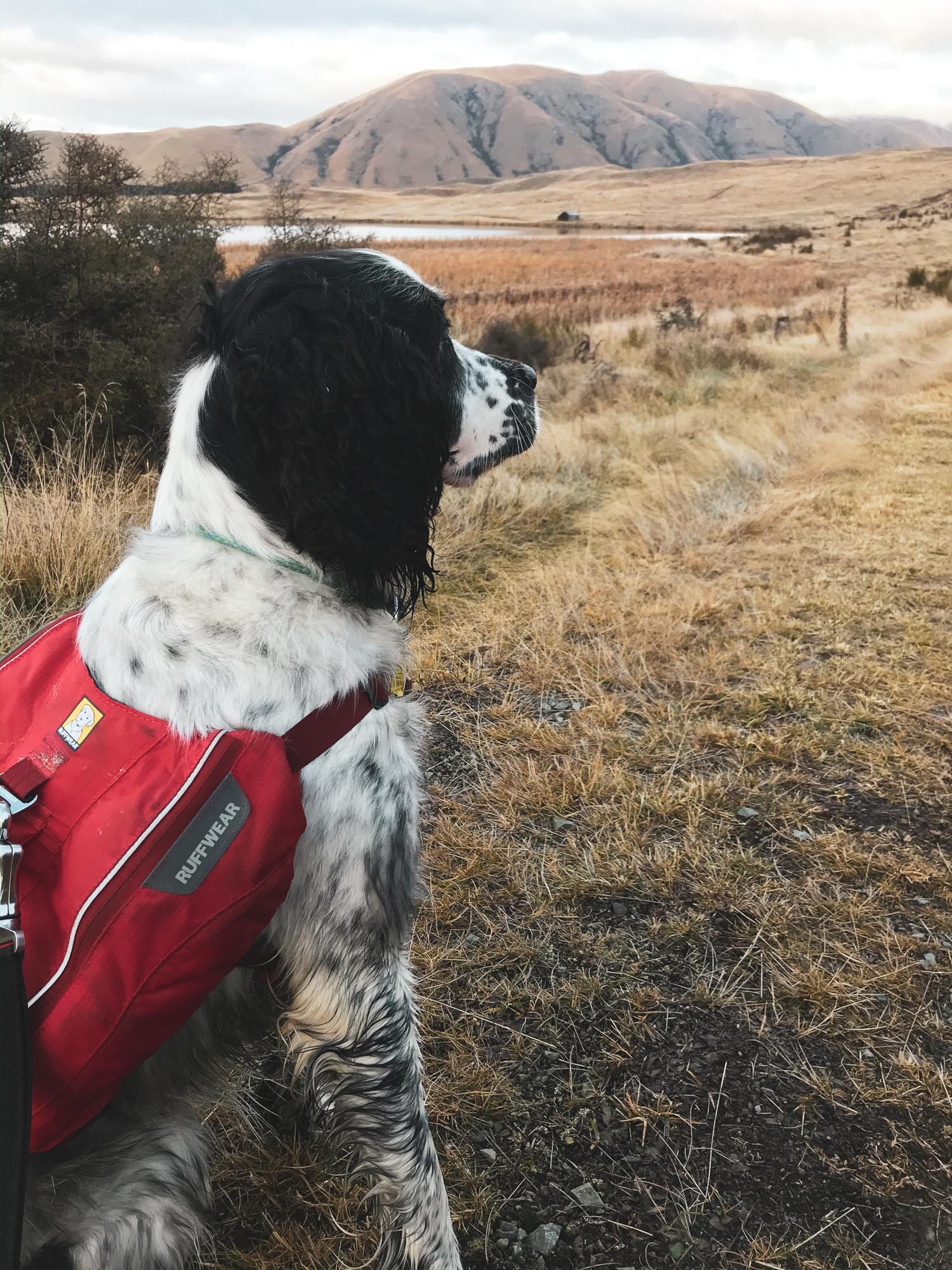
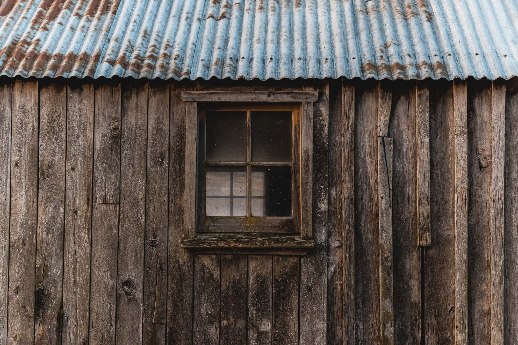
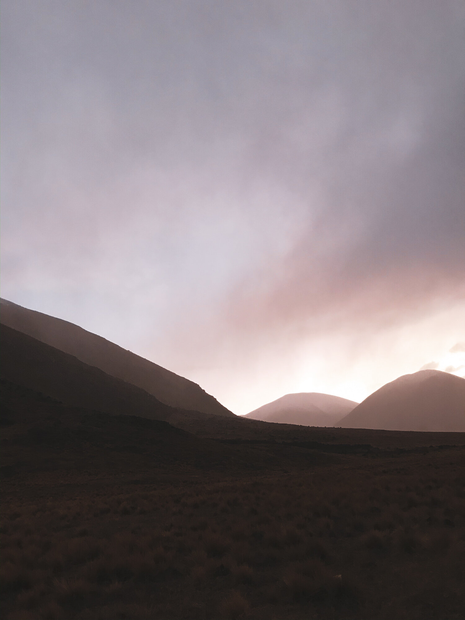
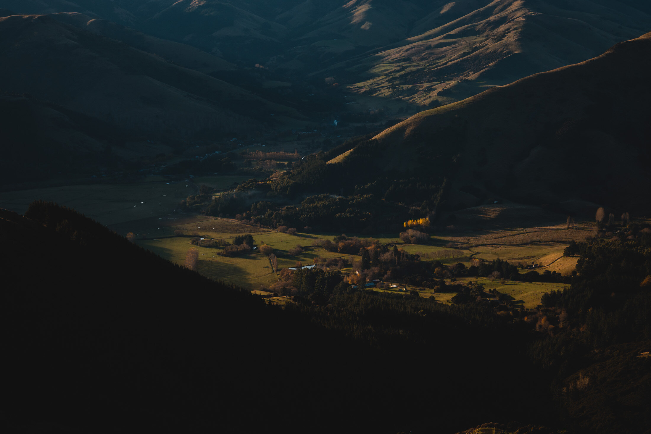
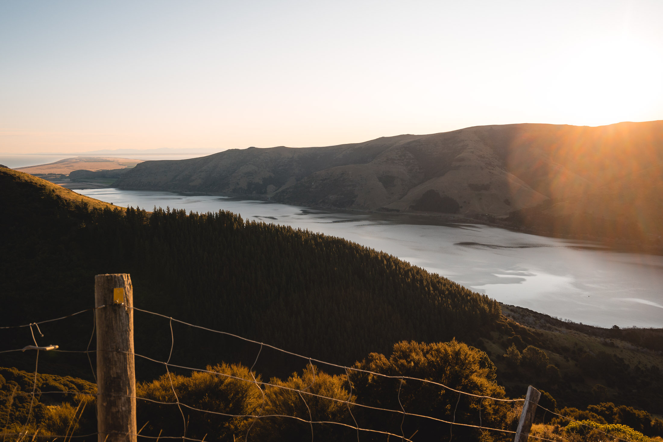
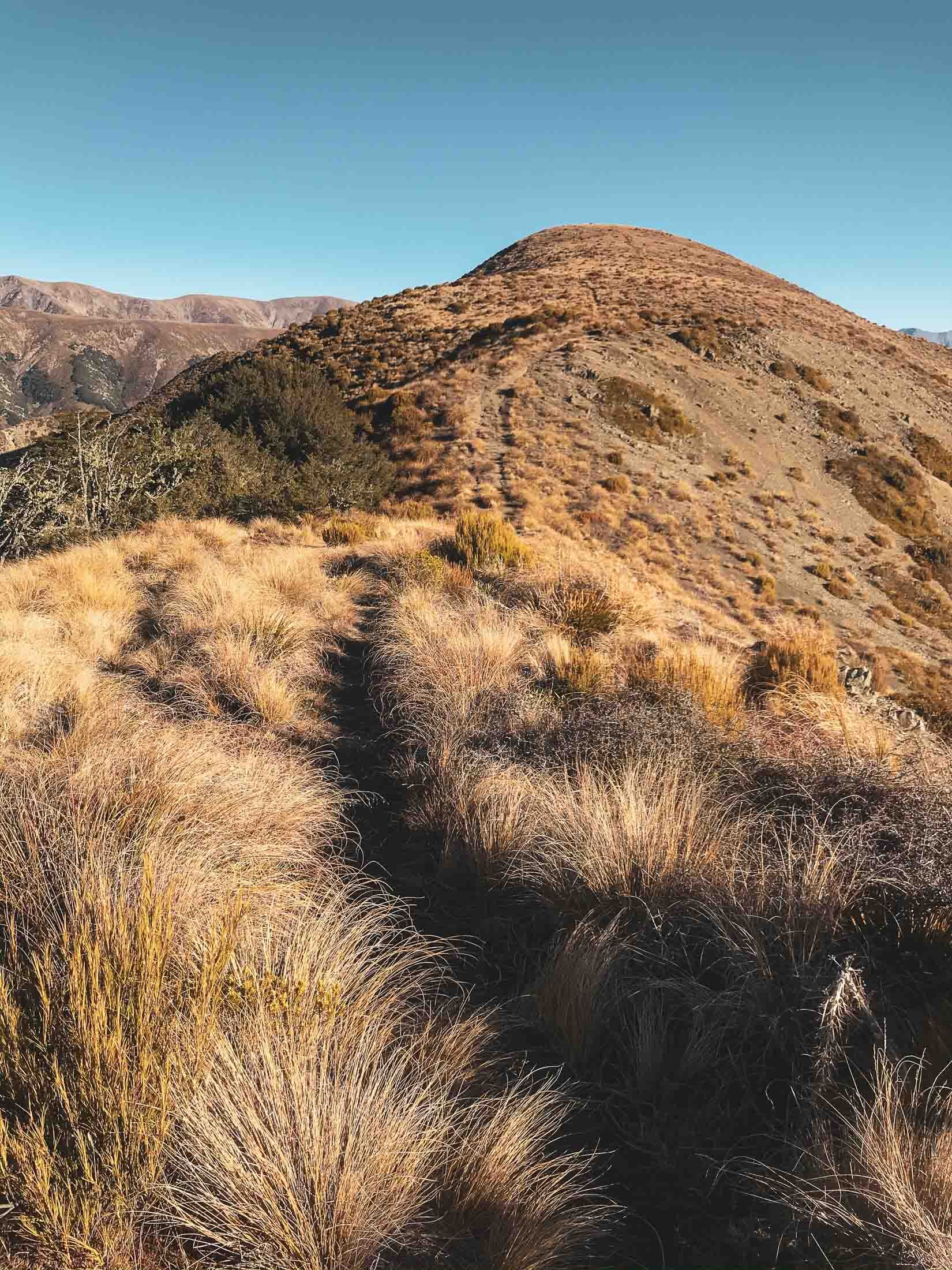
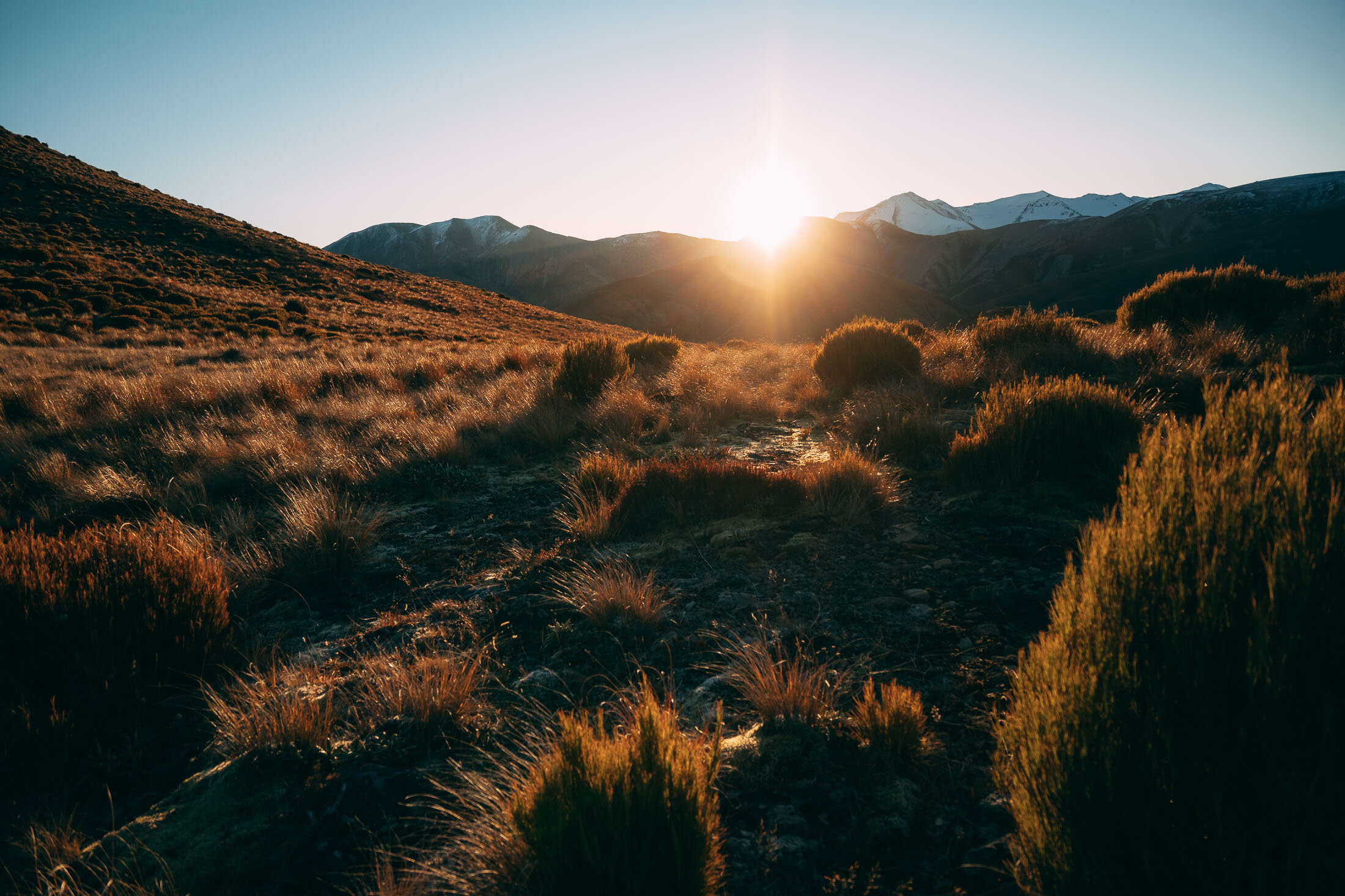
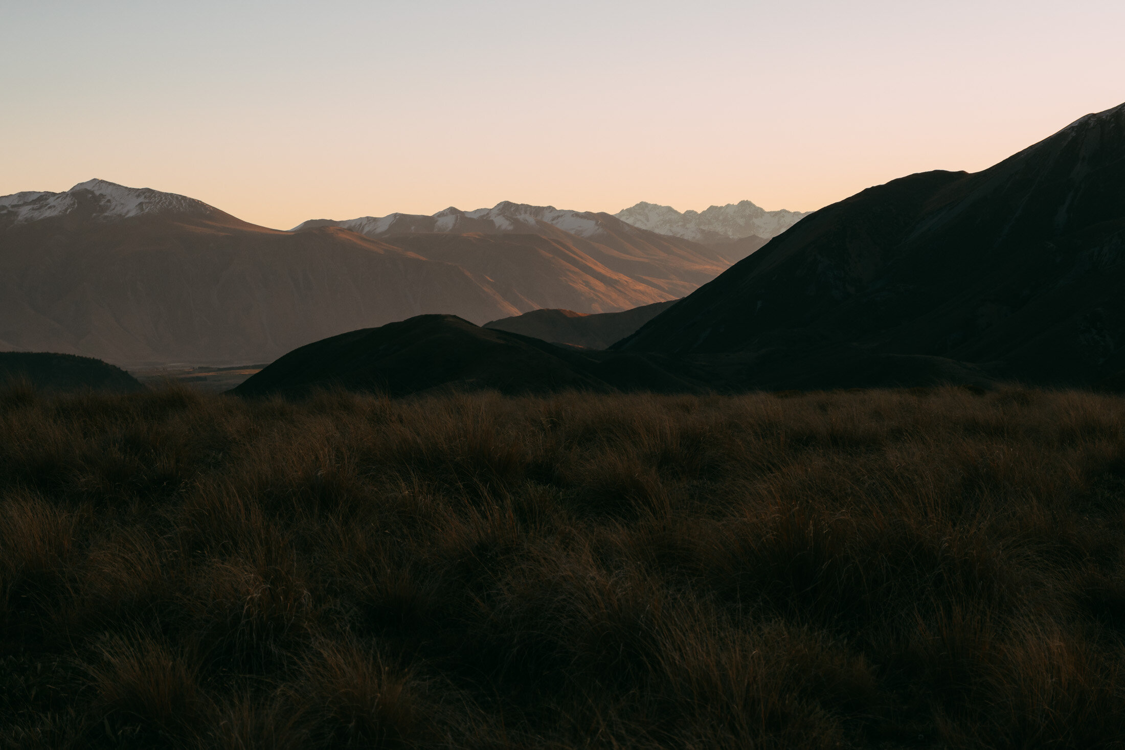
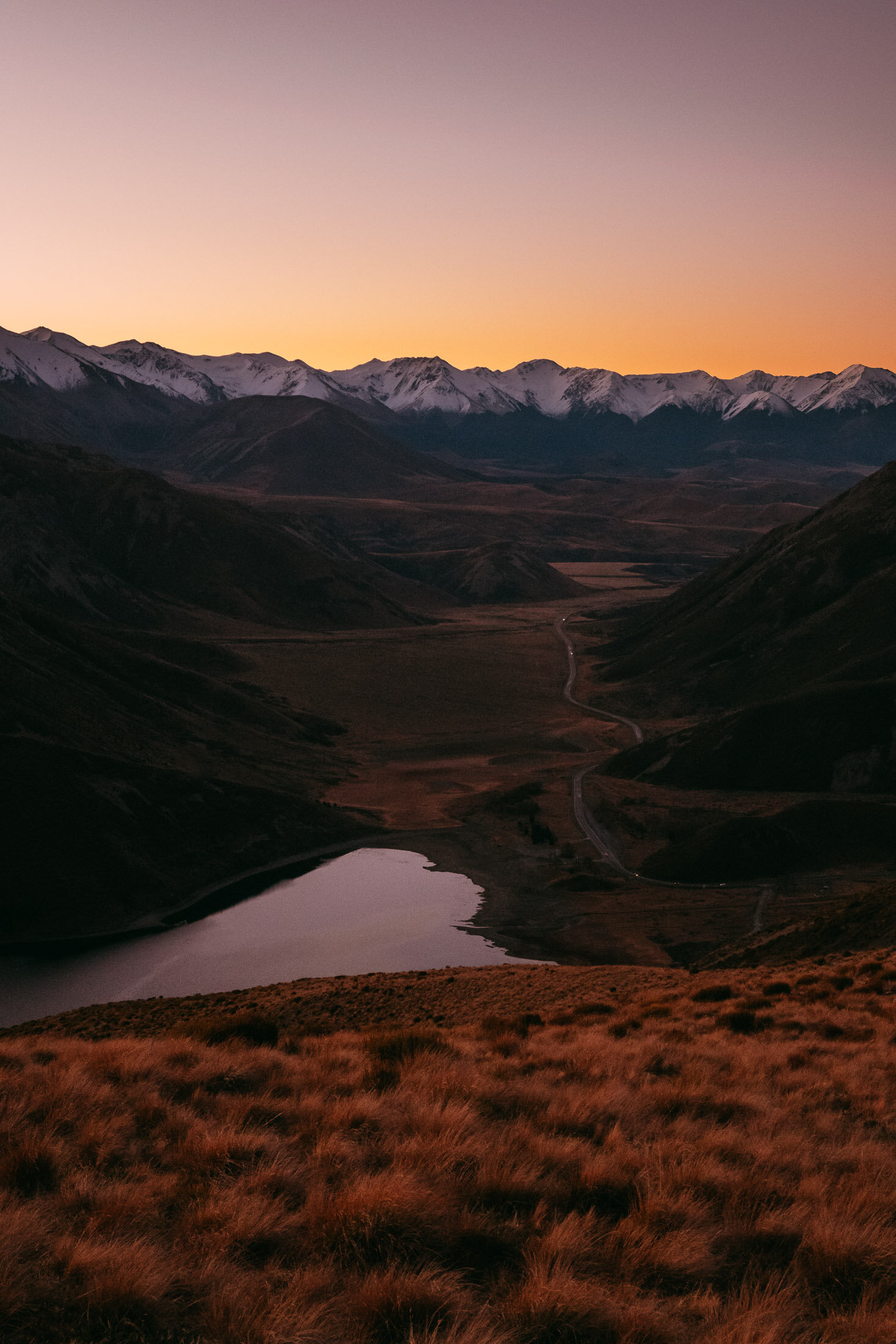
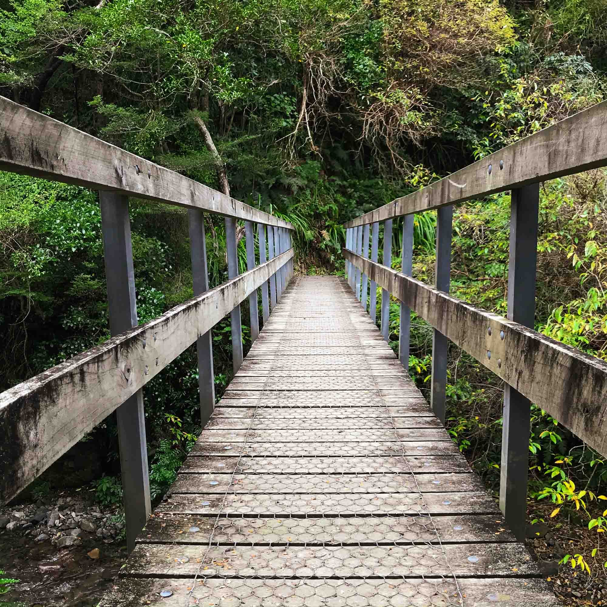
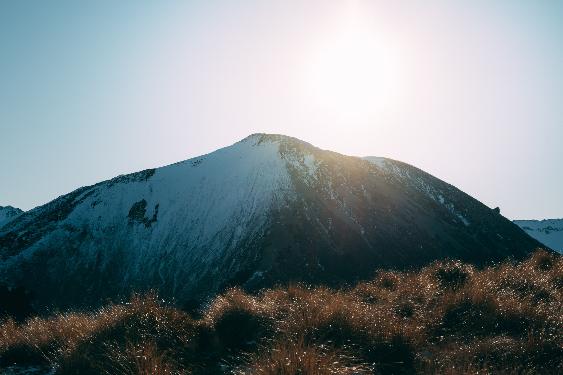
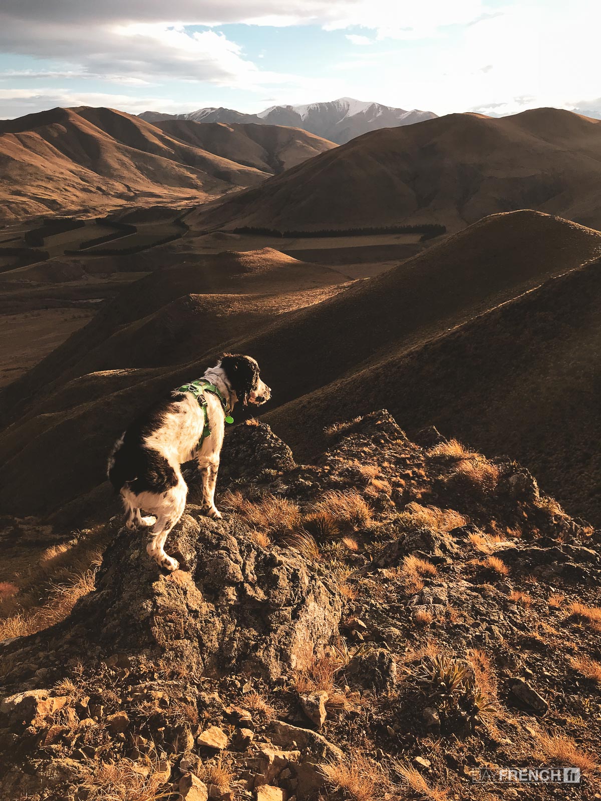
Ryde Falls, Canterbury, New Zealand
North Canterbury
3.30 Hours Return
Easy

RYDE FALLS
NORTH CANTERBURY
Location:
North Canterbury
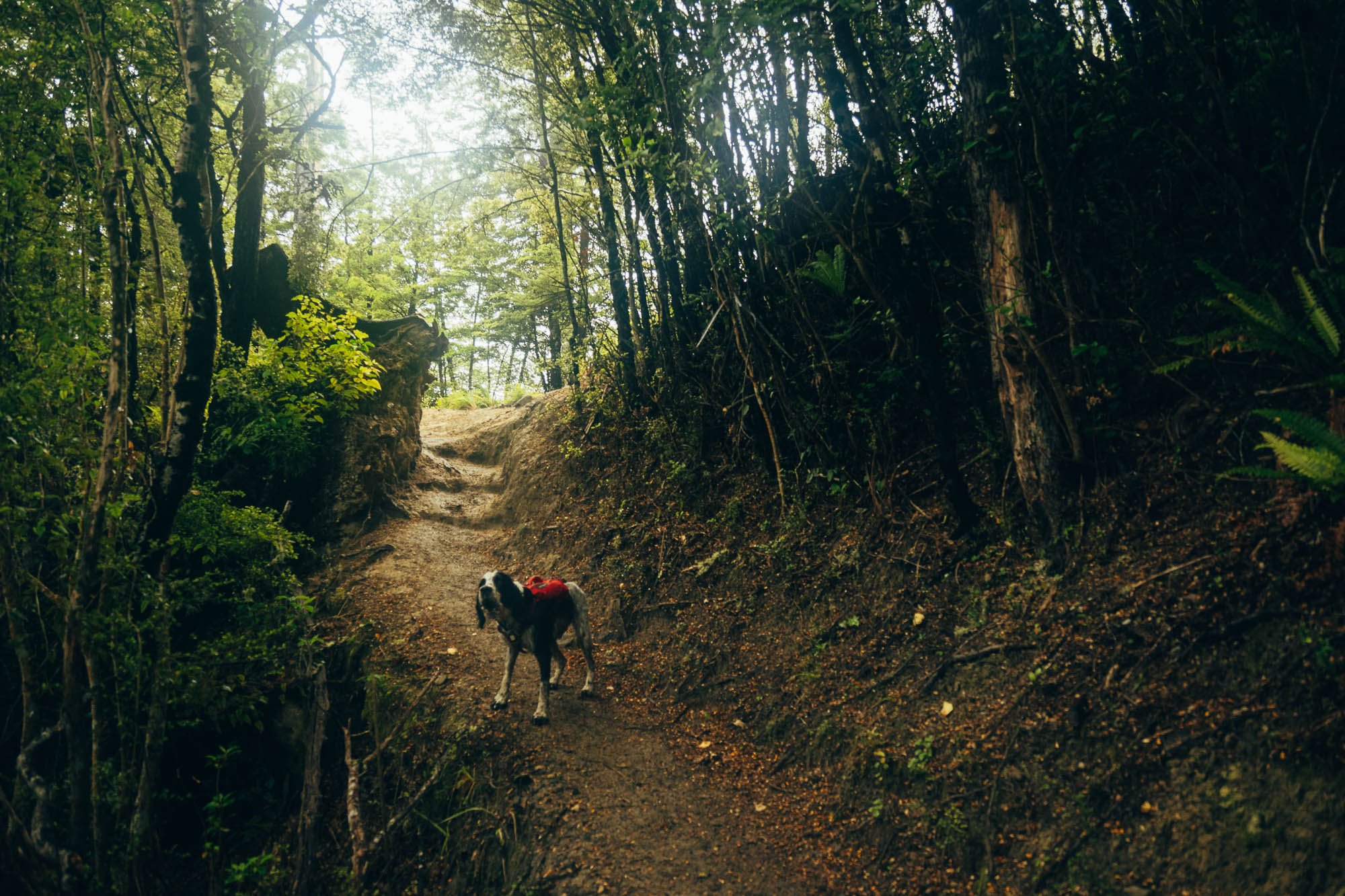
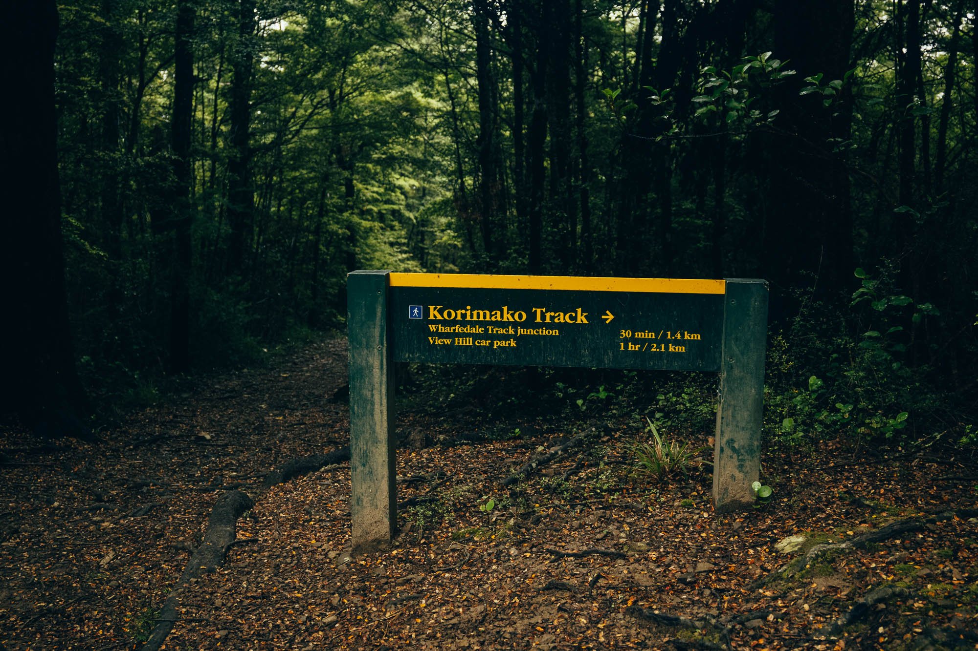
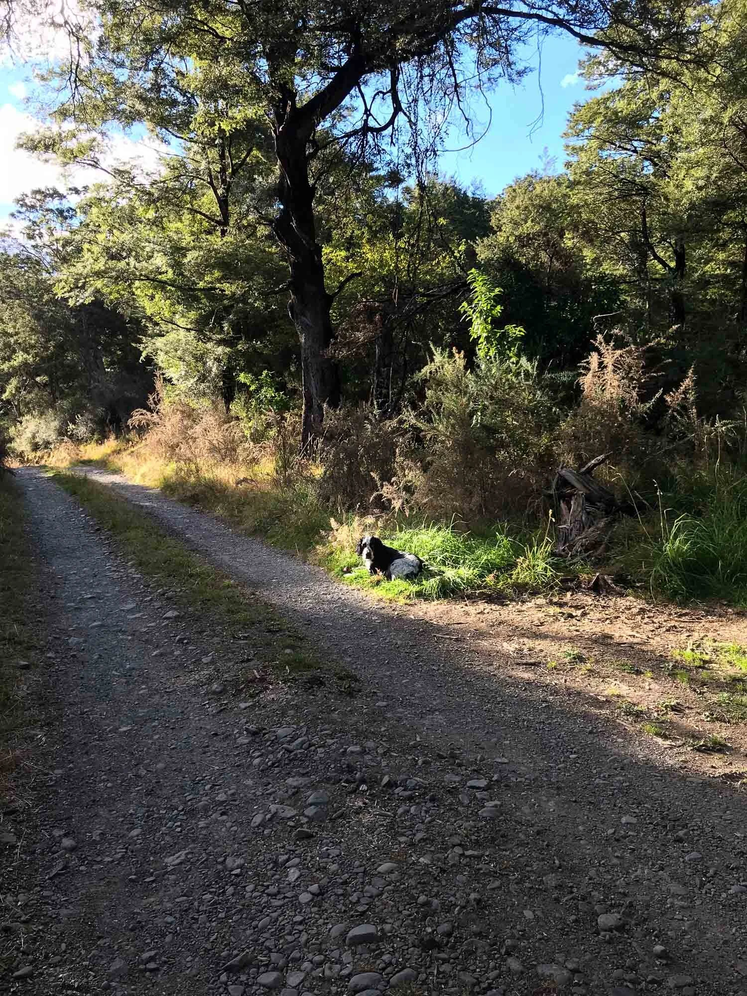
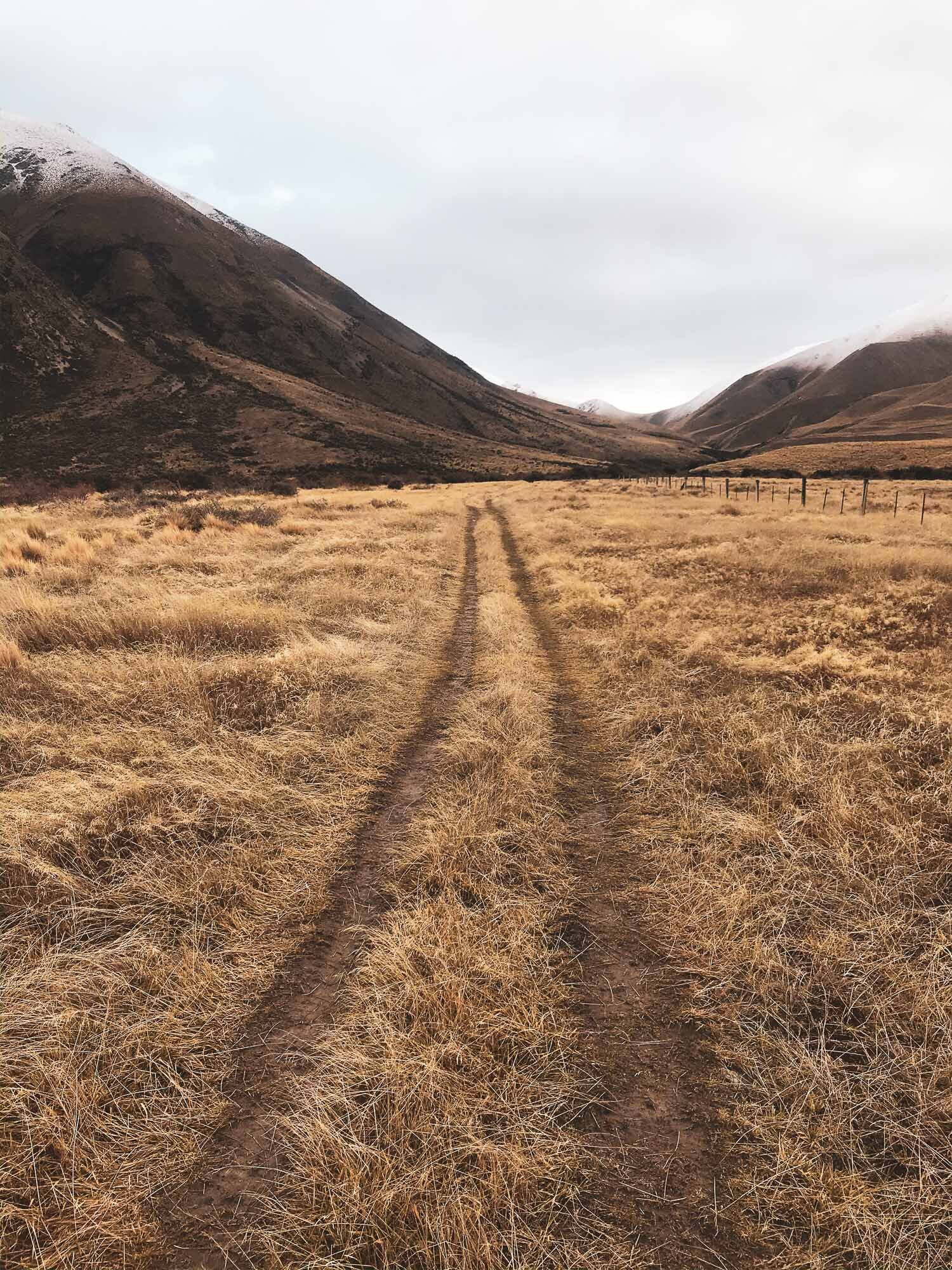
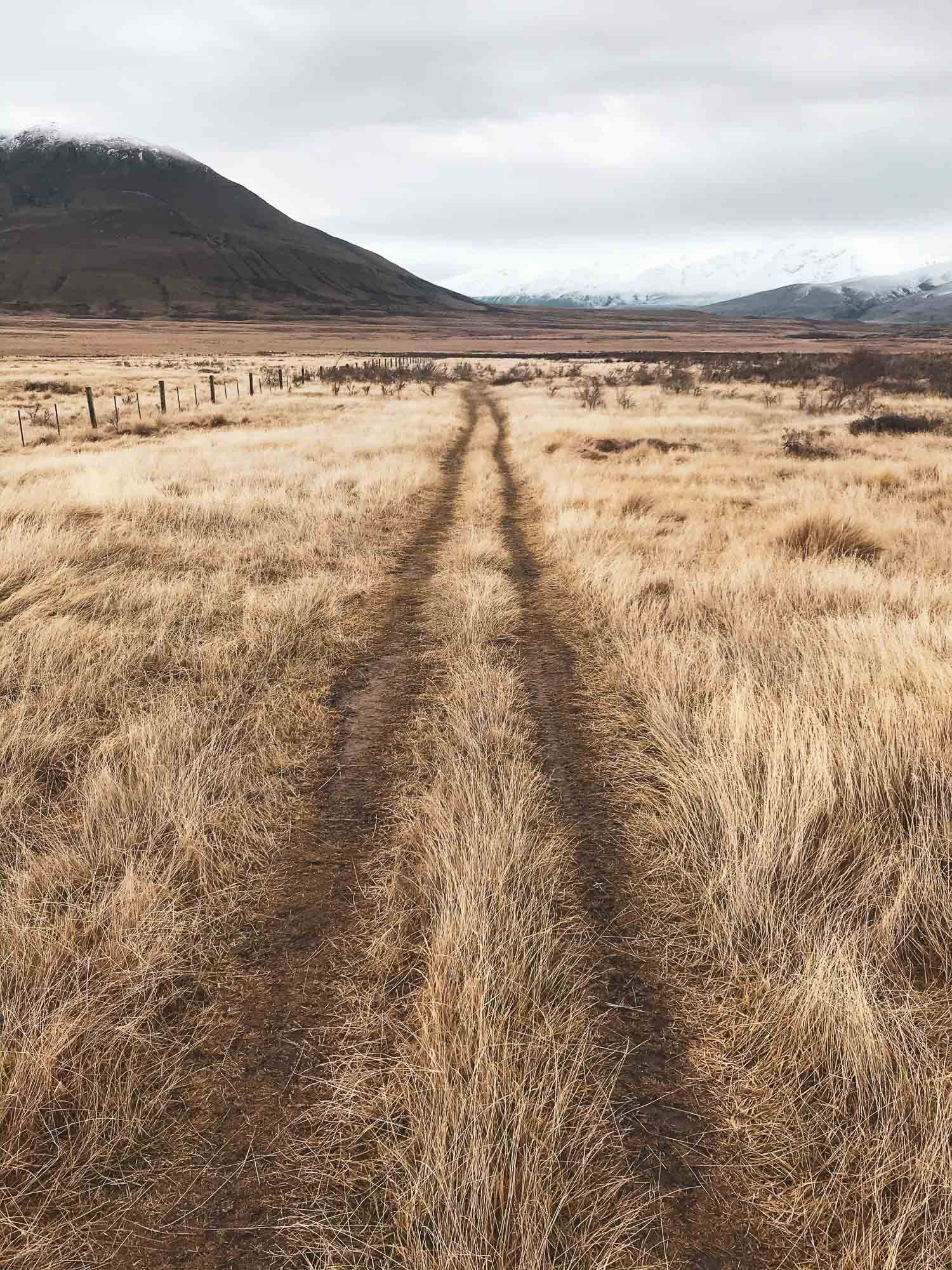
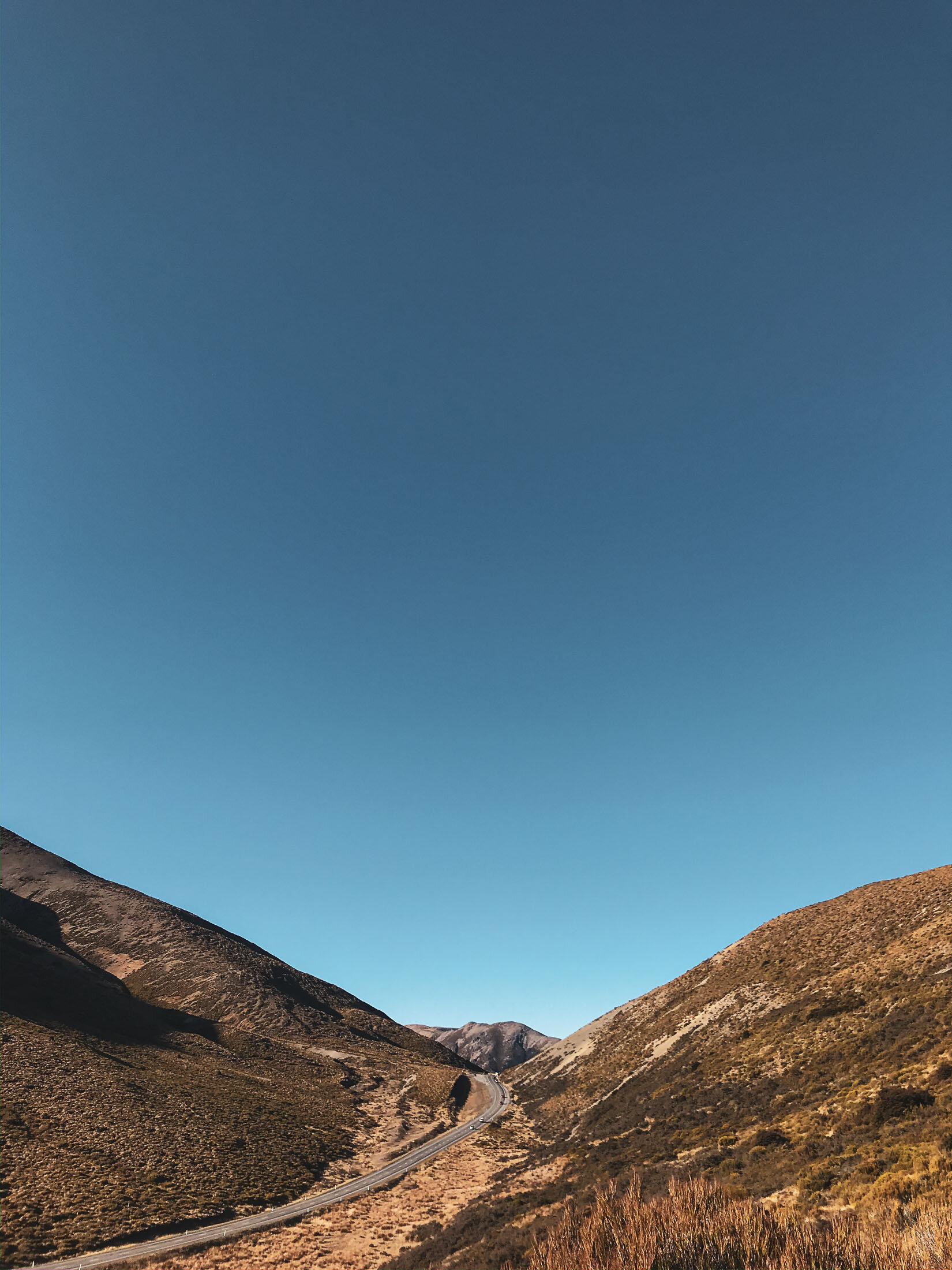
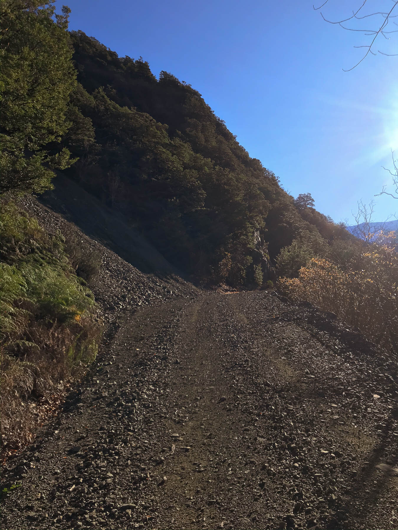
Park at the View HIll Carpark and make your way up the Wharfedale Track, taking a right when you get to the sign.
Time:
3.30 hours return.
With the dog, photos, mud, and a very sloppy track.
Difficulty.
Easy
Dogs:
Under effective control on Wharfedale Part, on leash on Ryde Falls track.
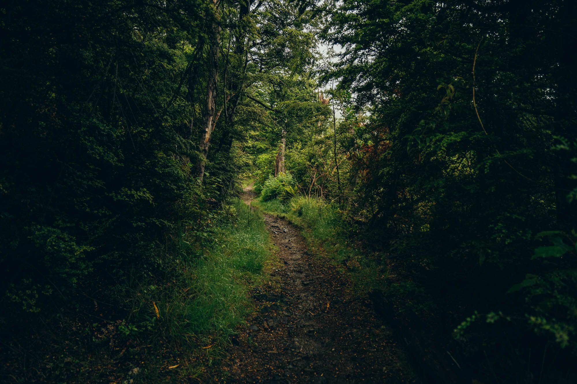
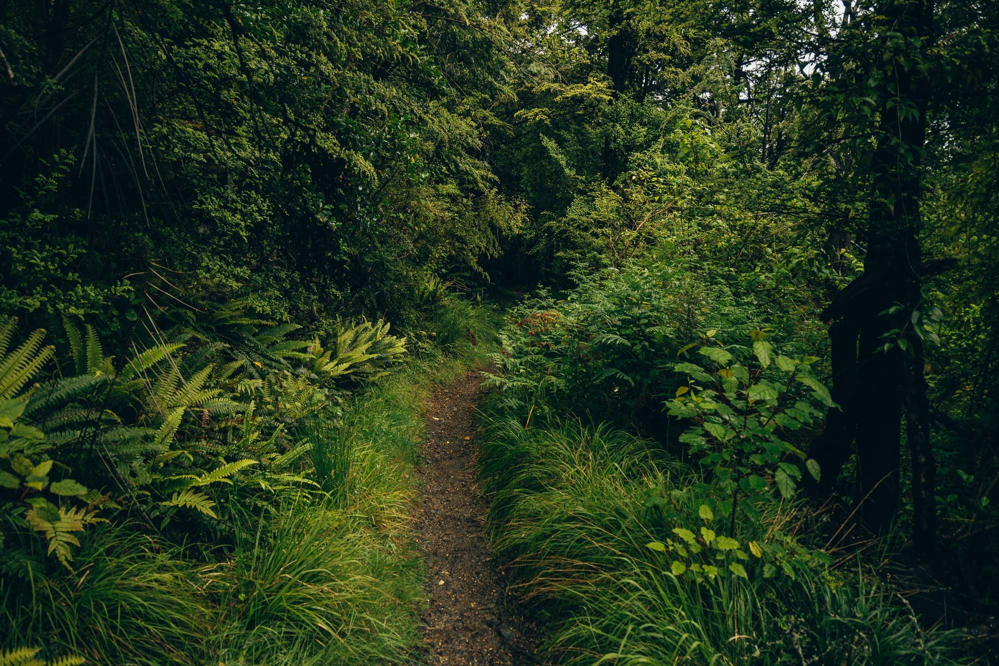
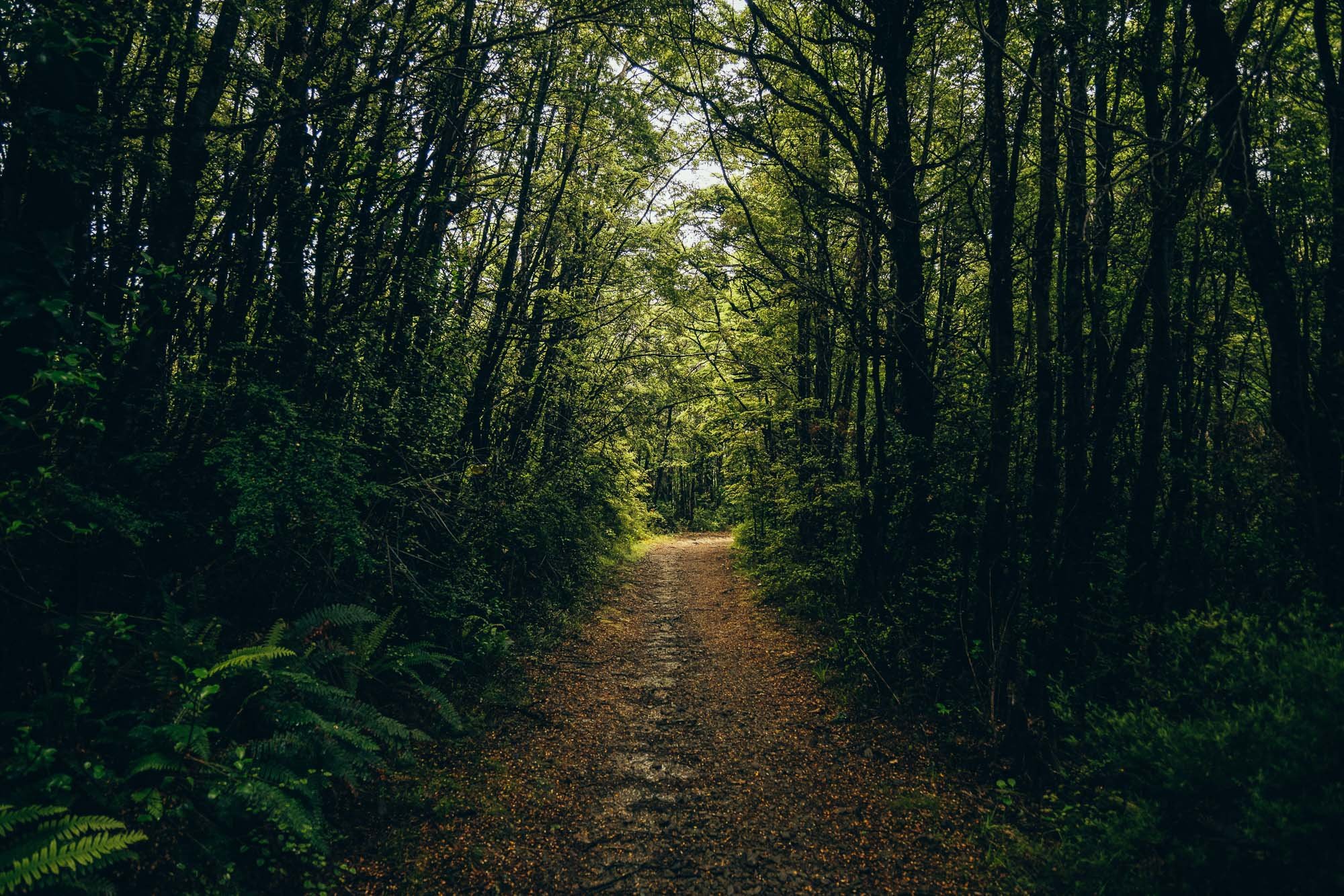
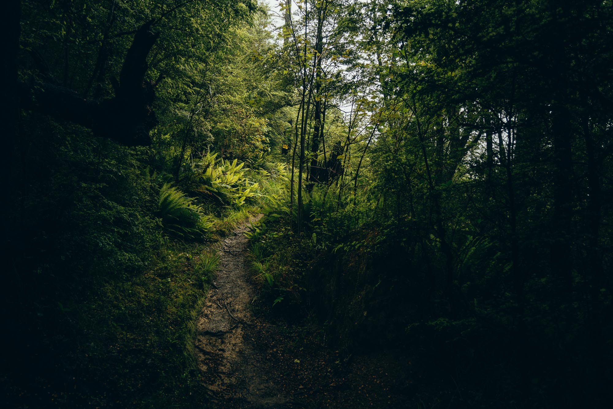
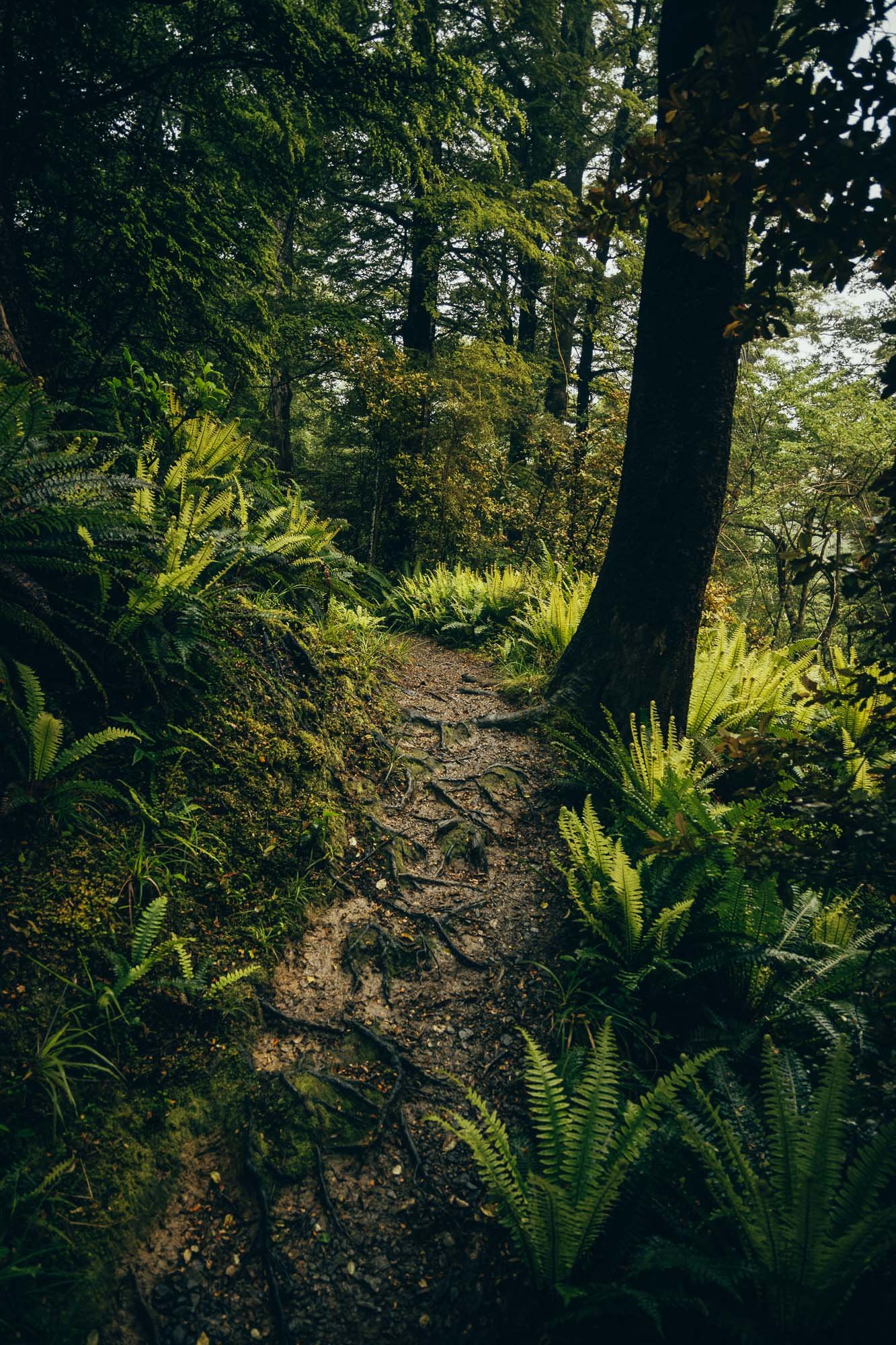
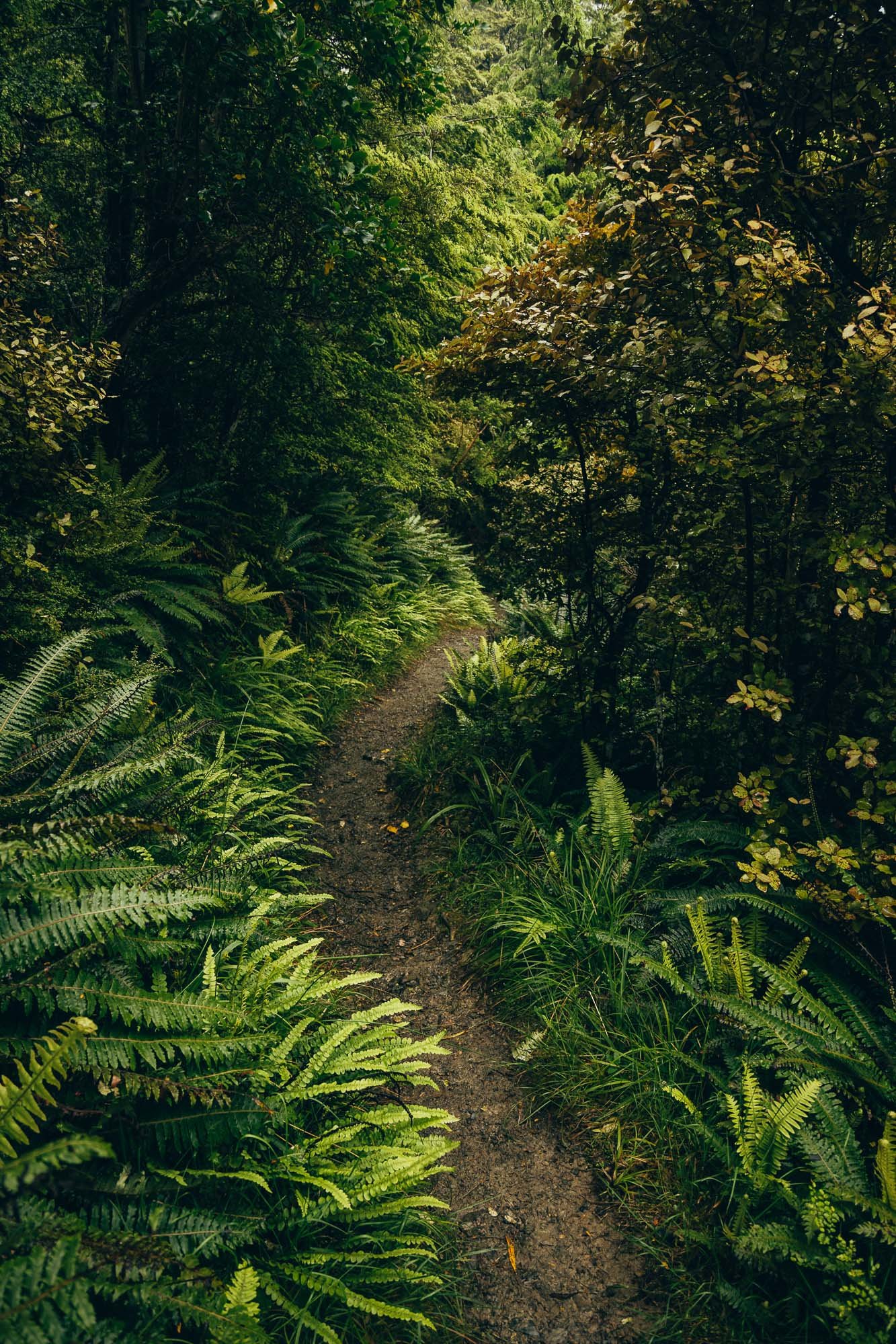
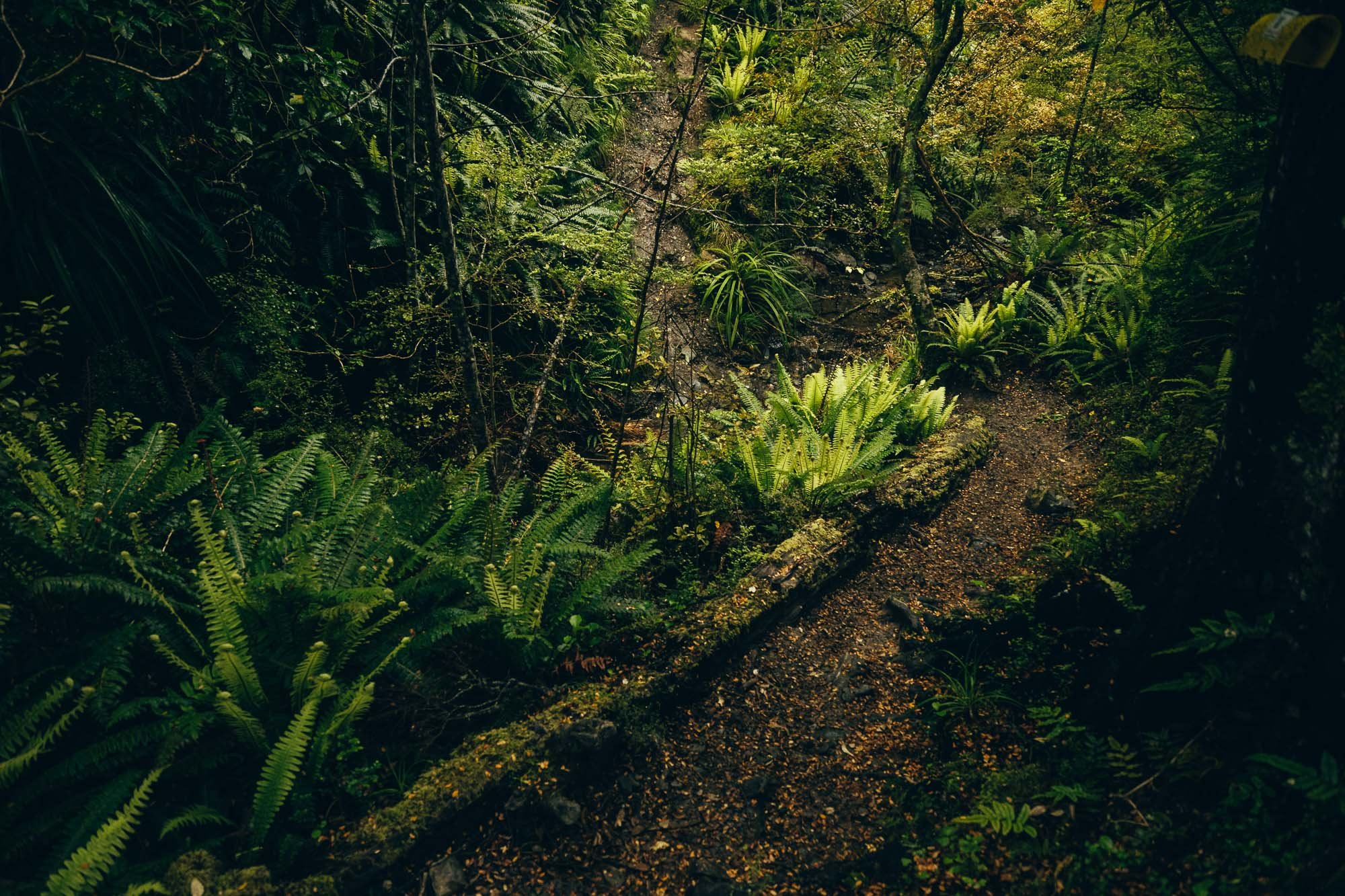
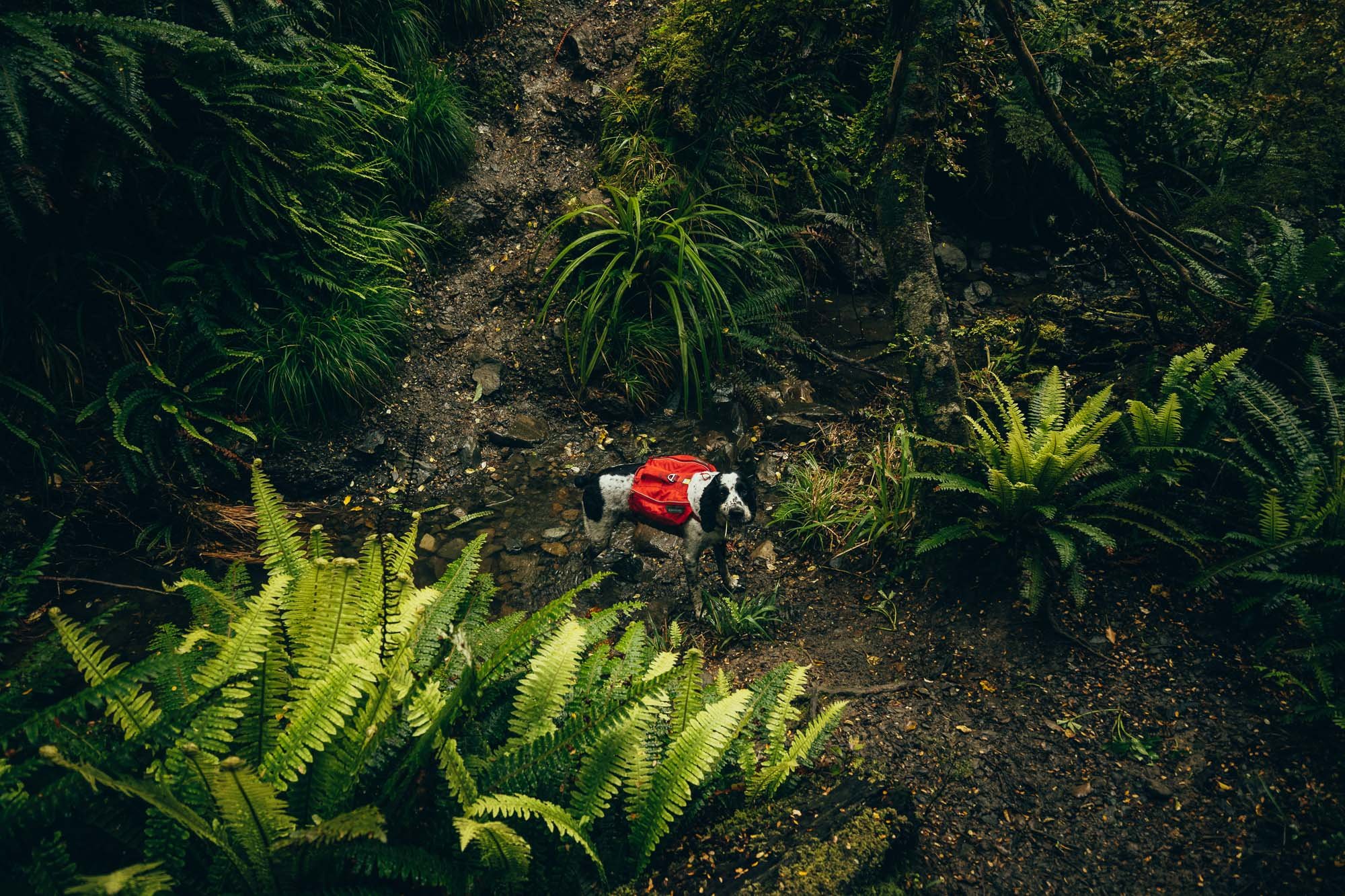
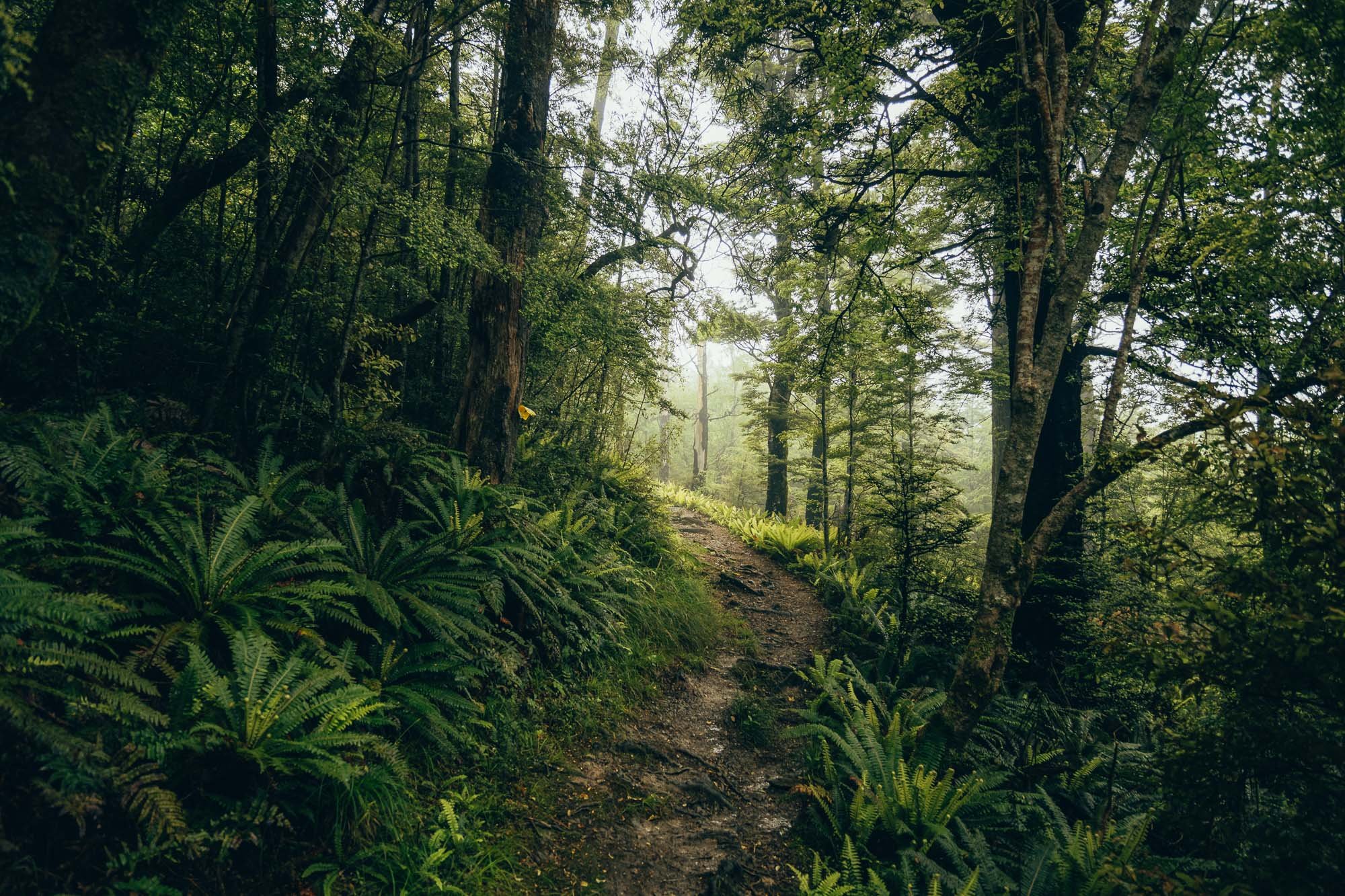
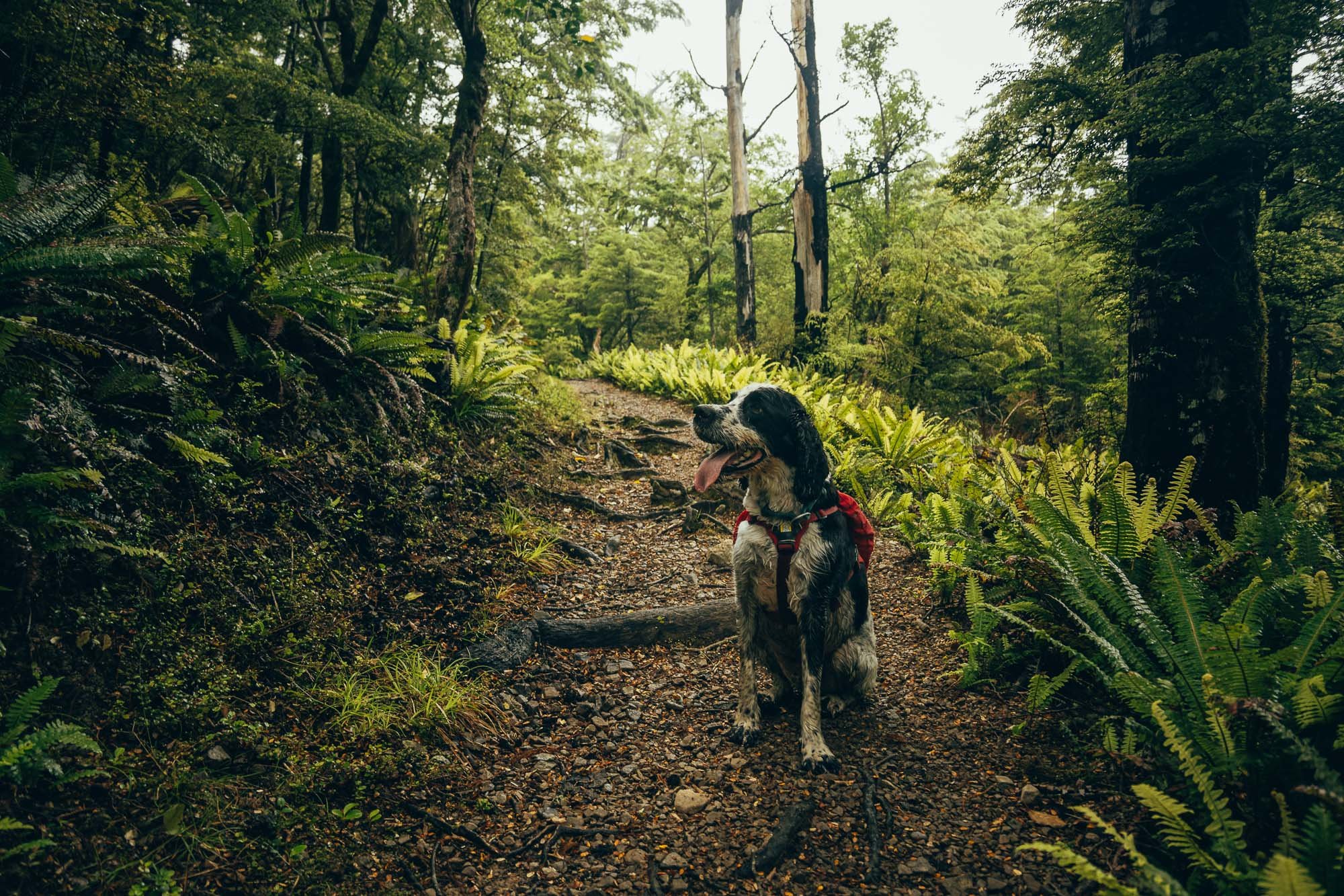
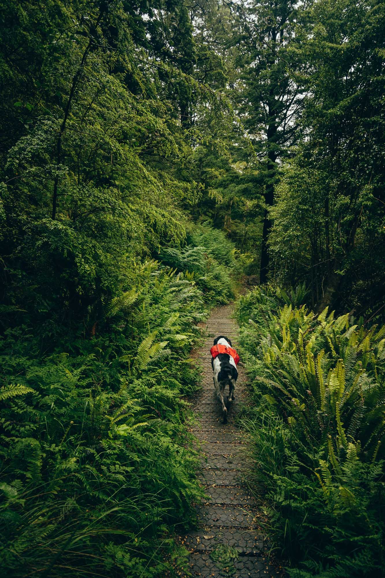
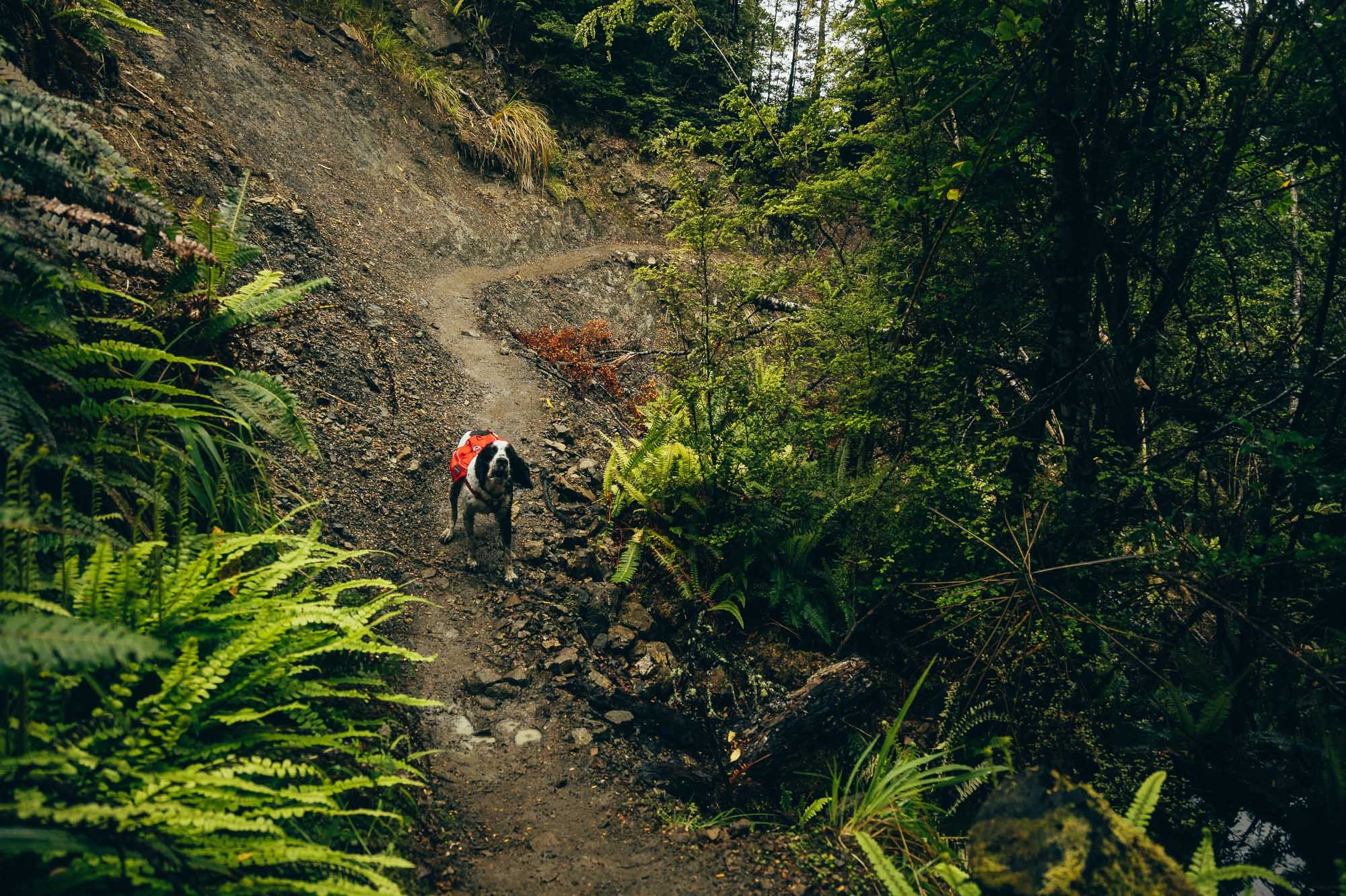
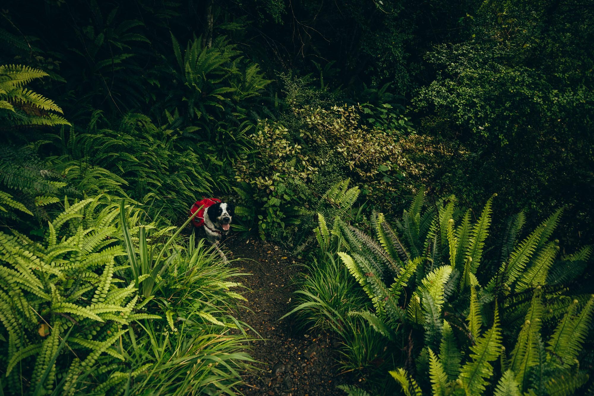
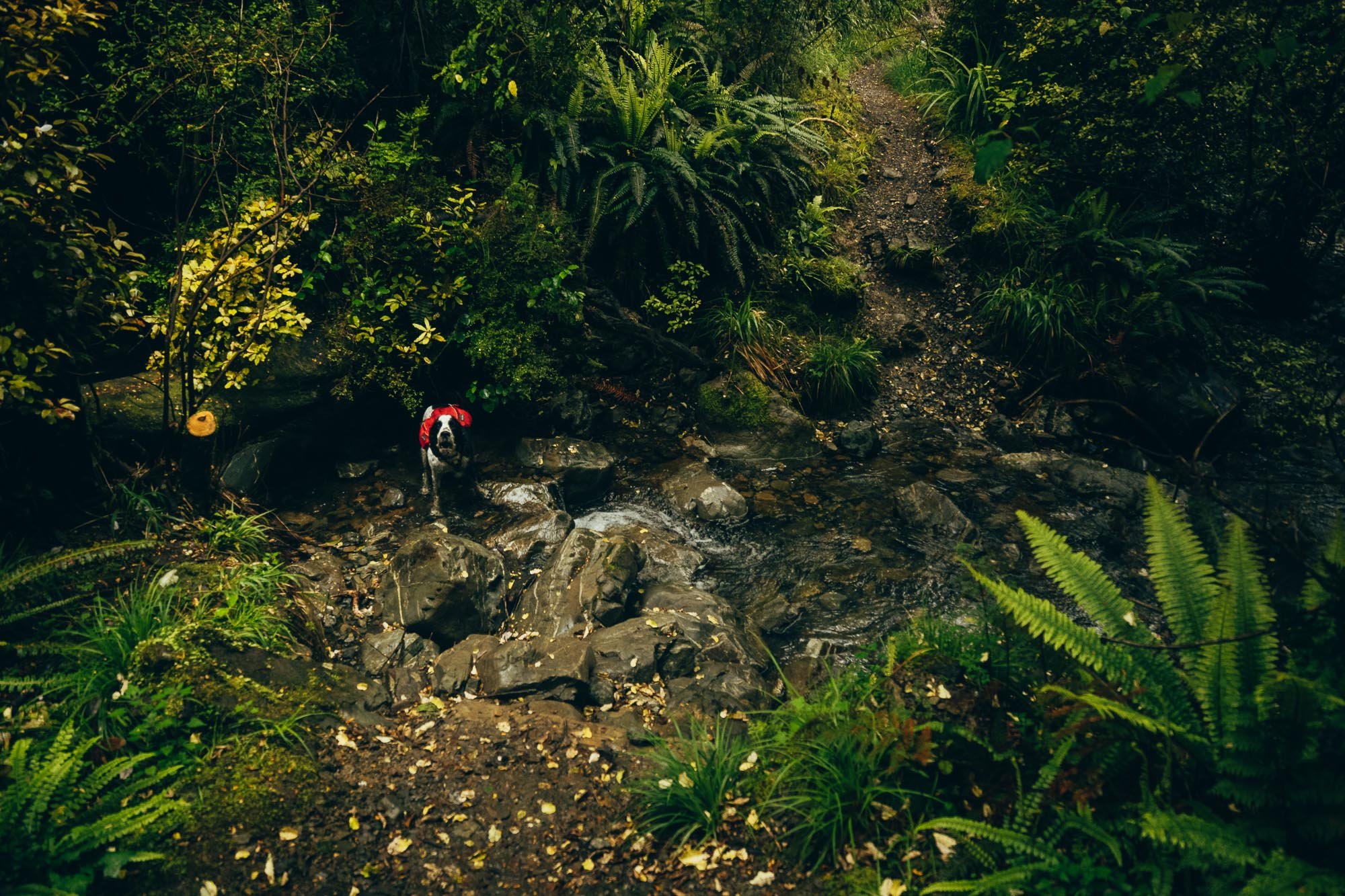
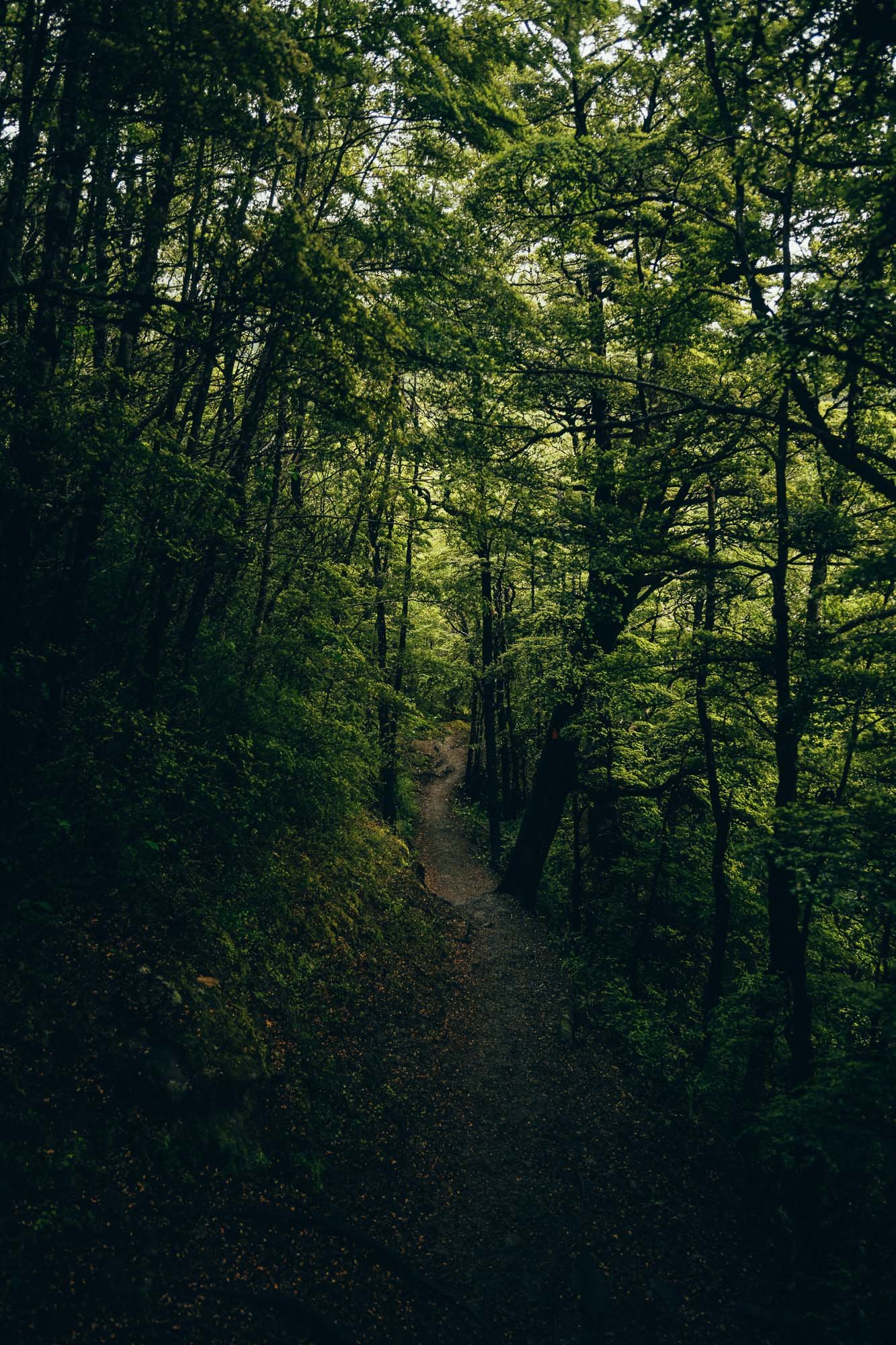
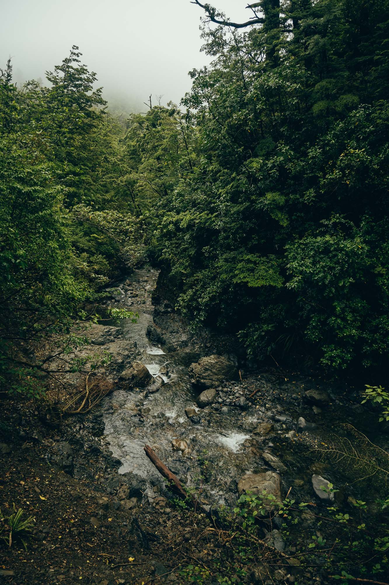
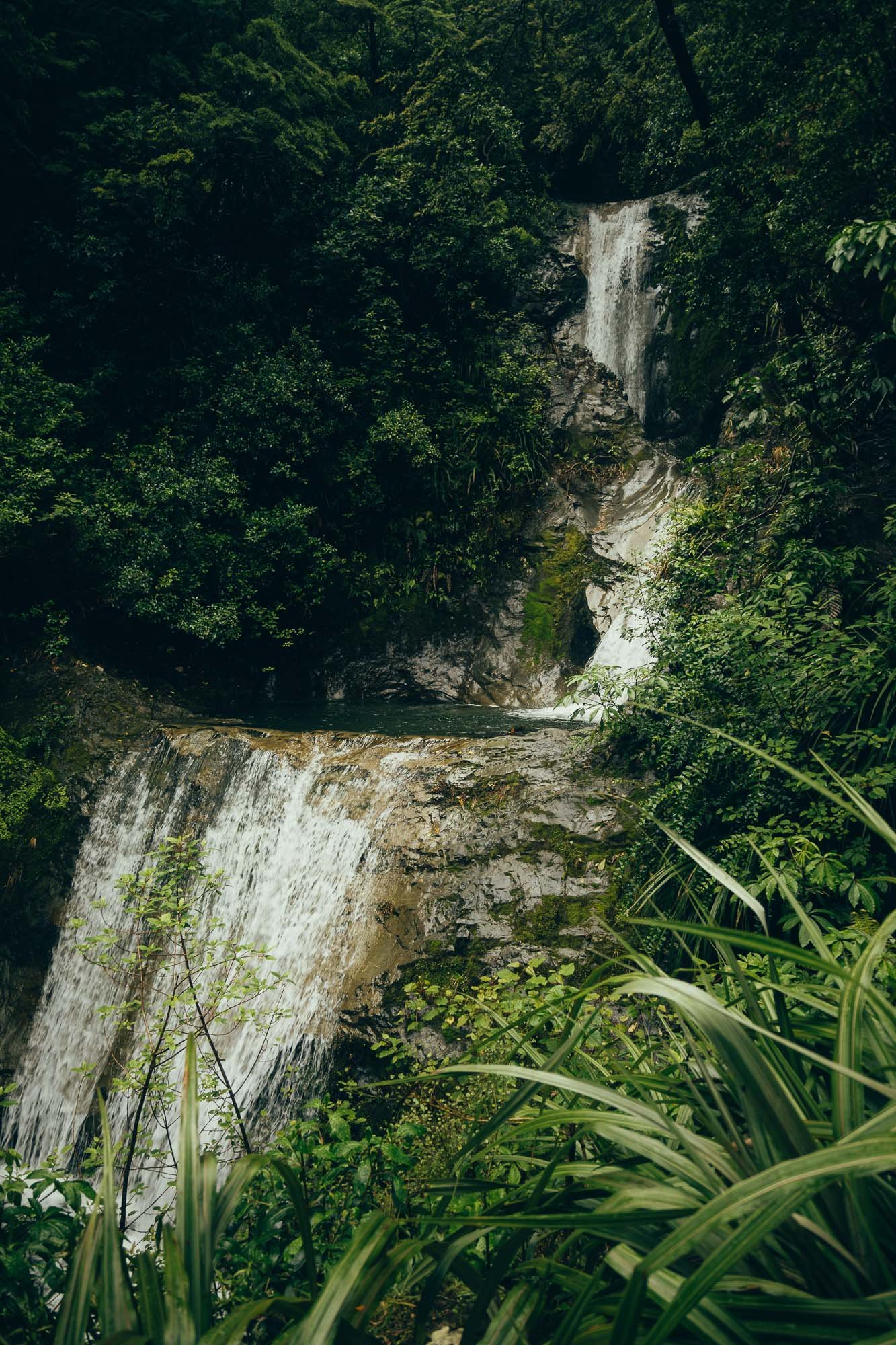
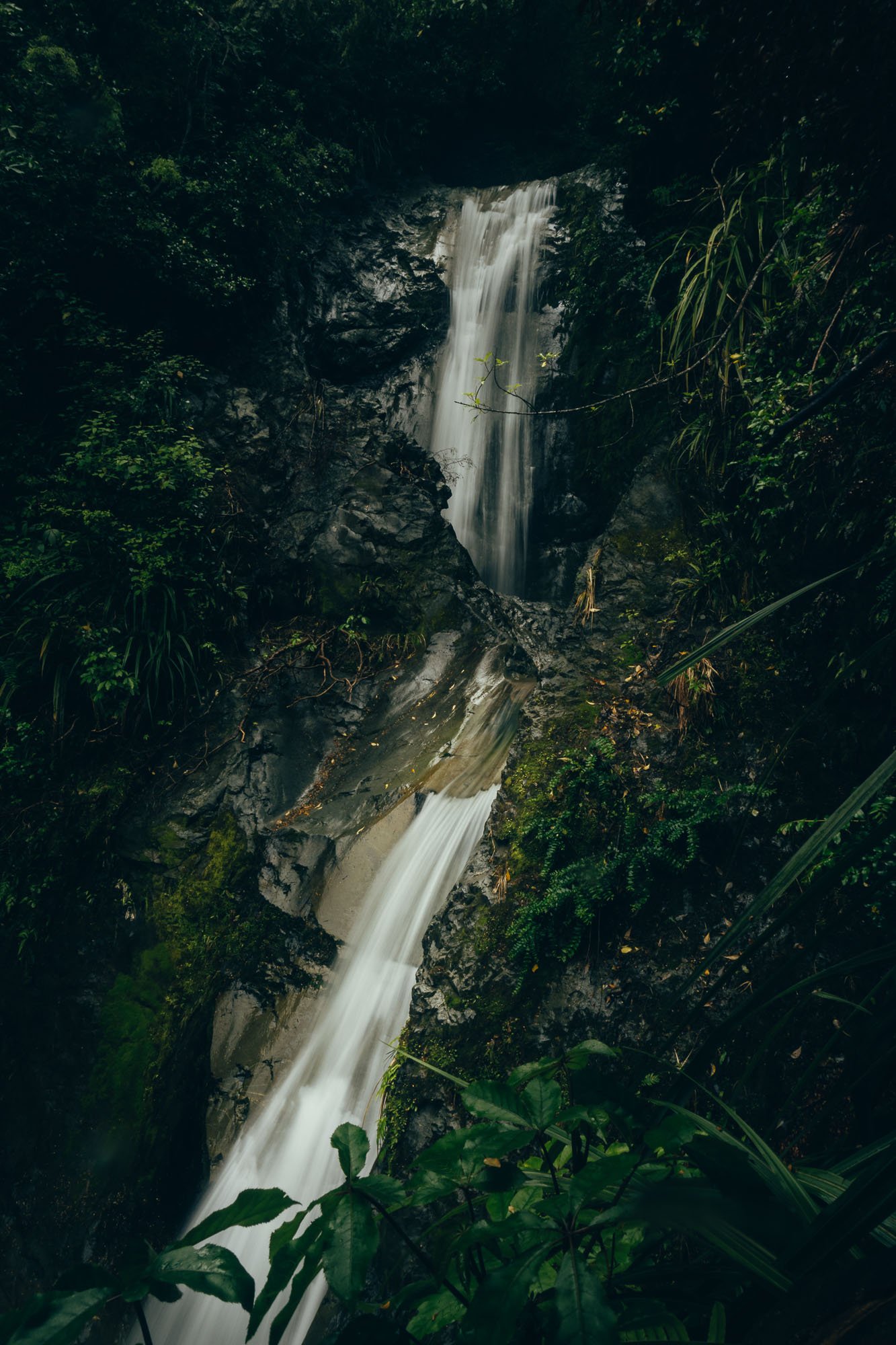
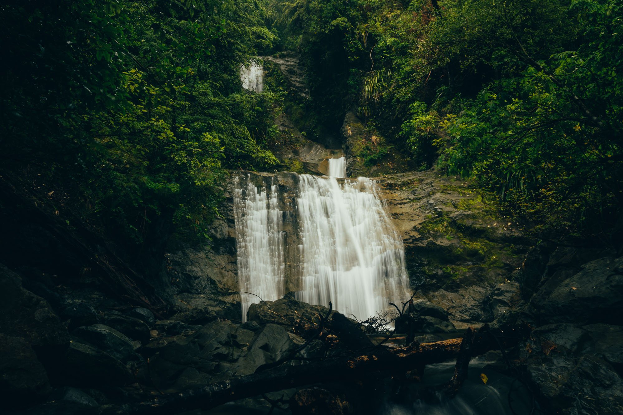
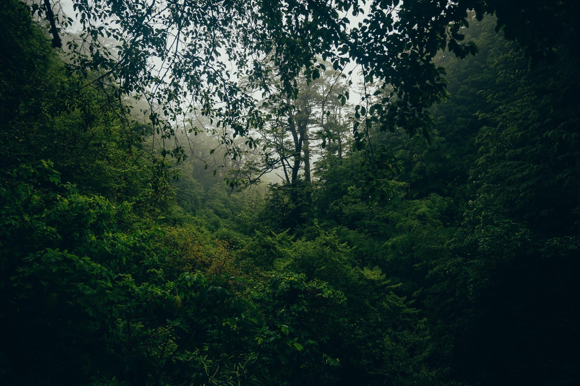
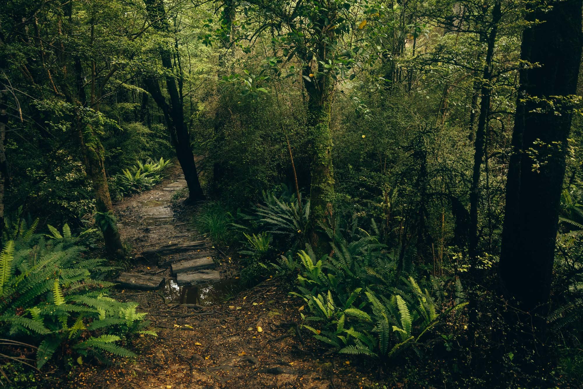
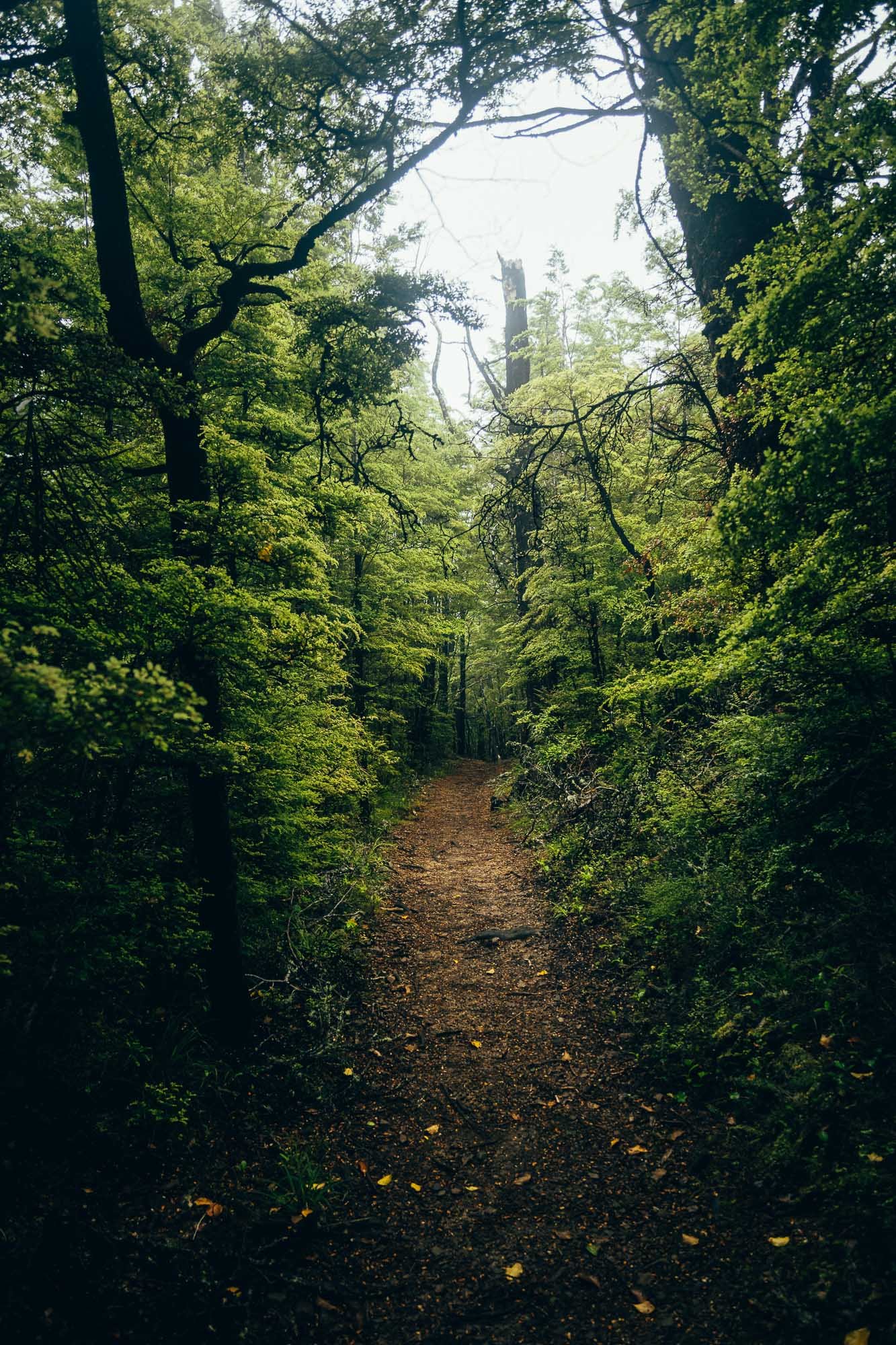
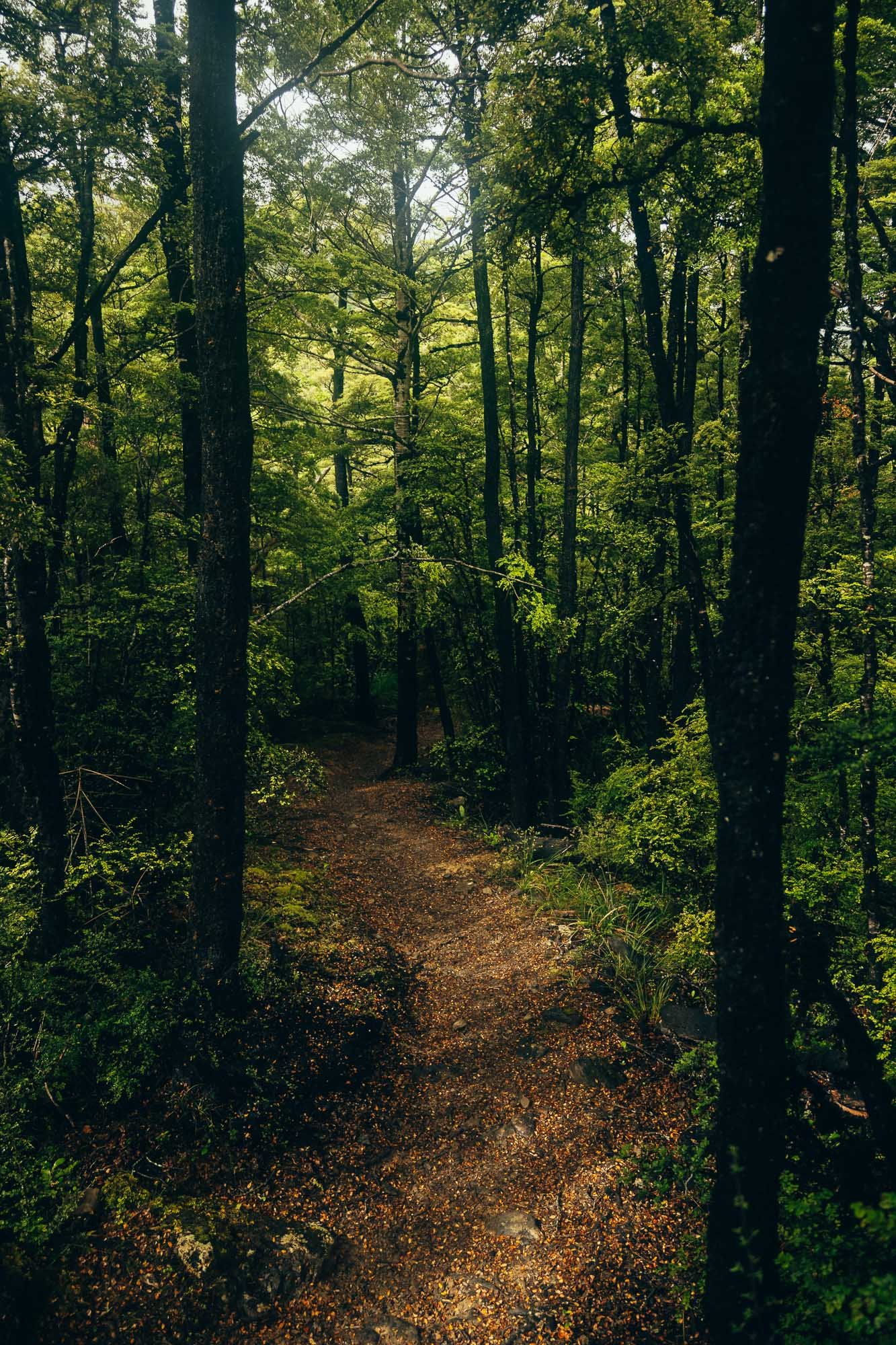
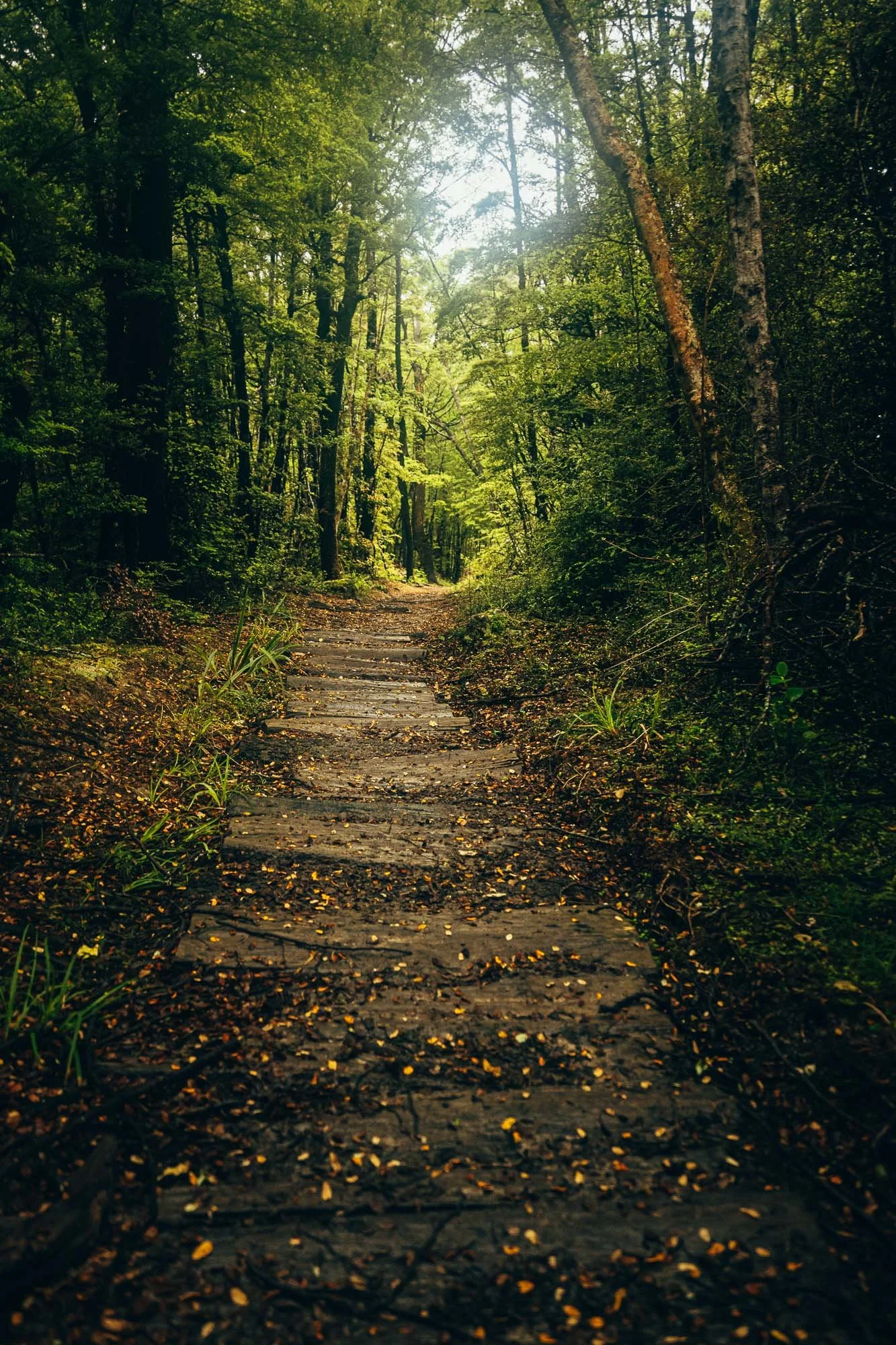
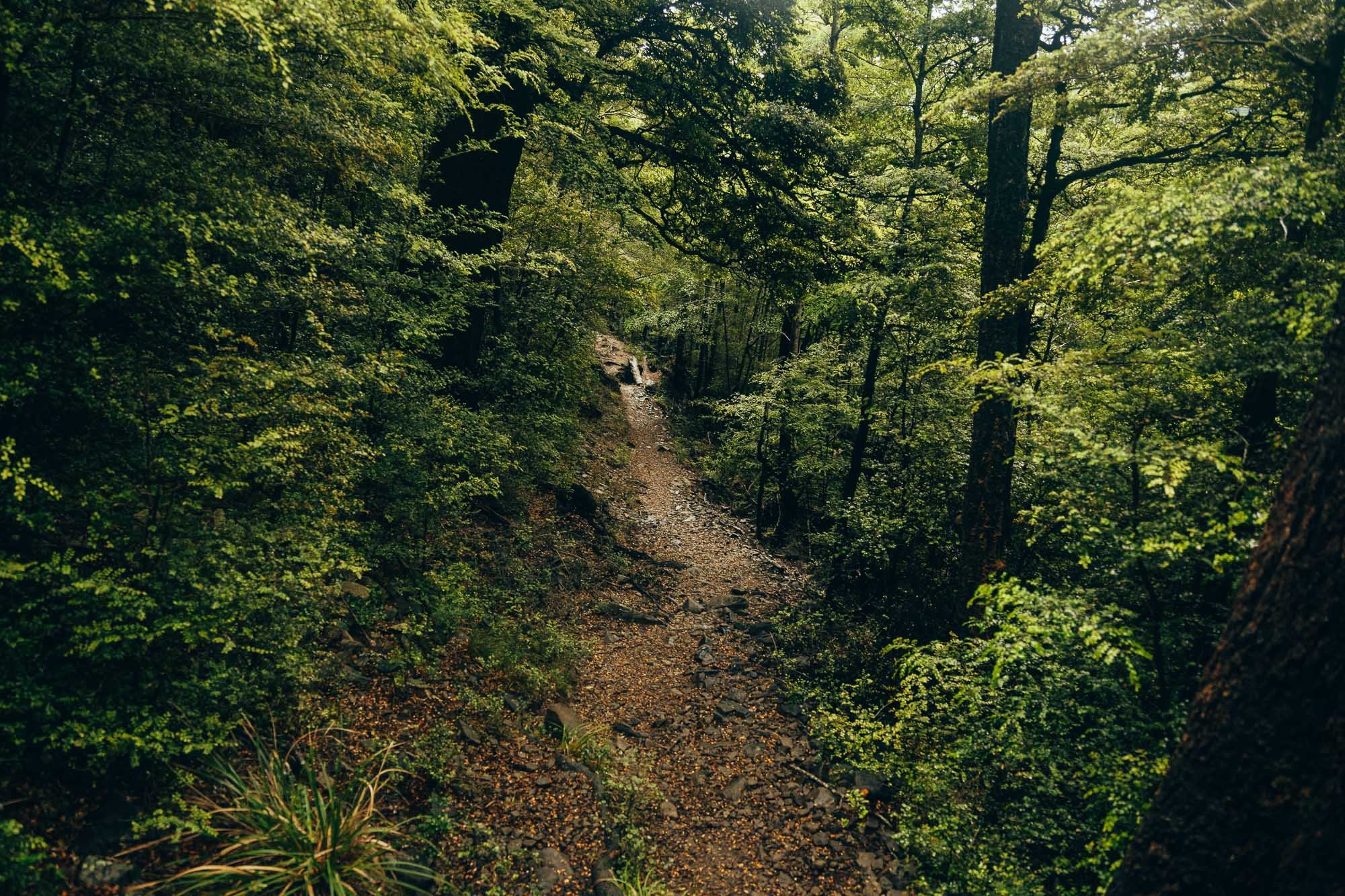
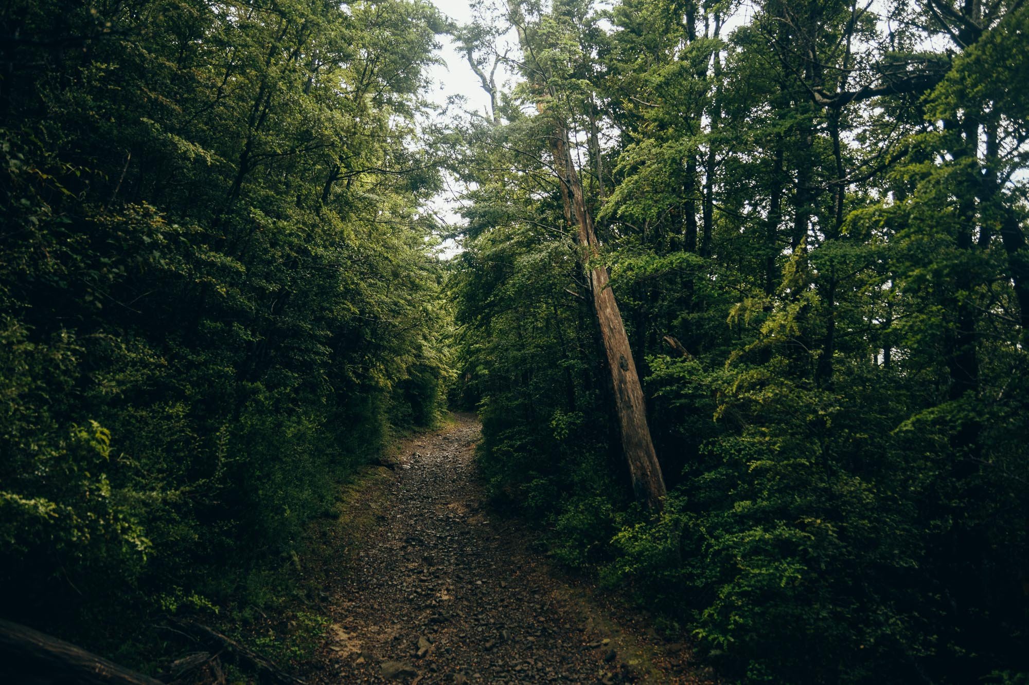
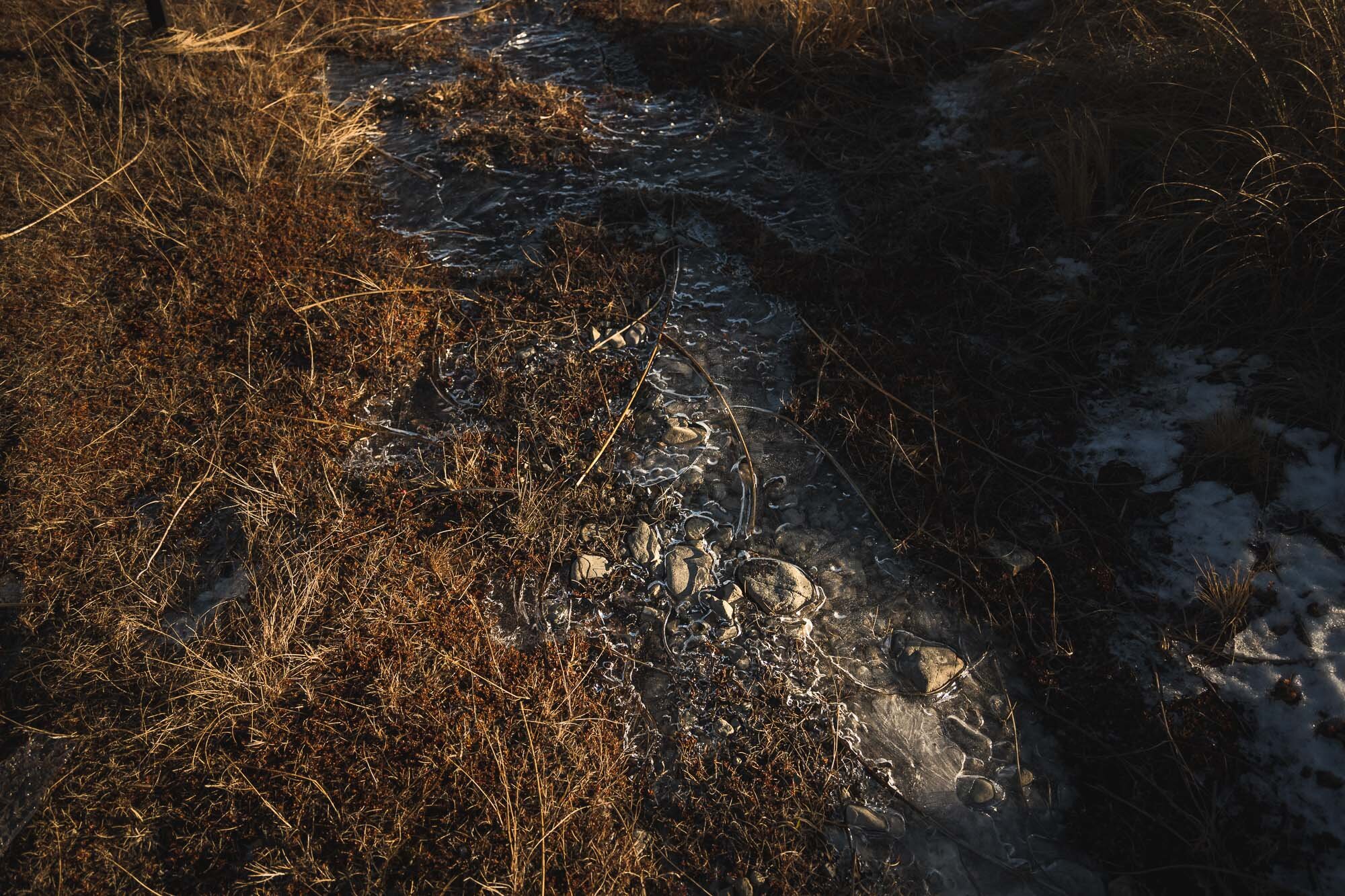
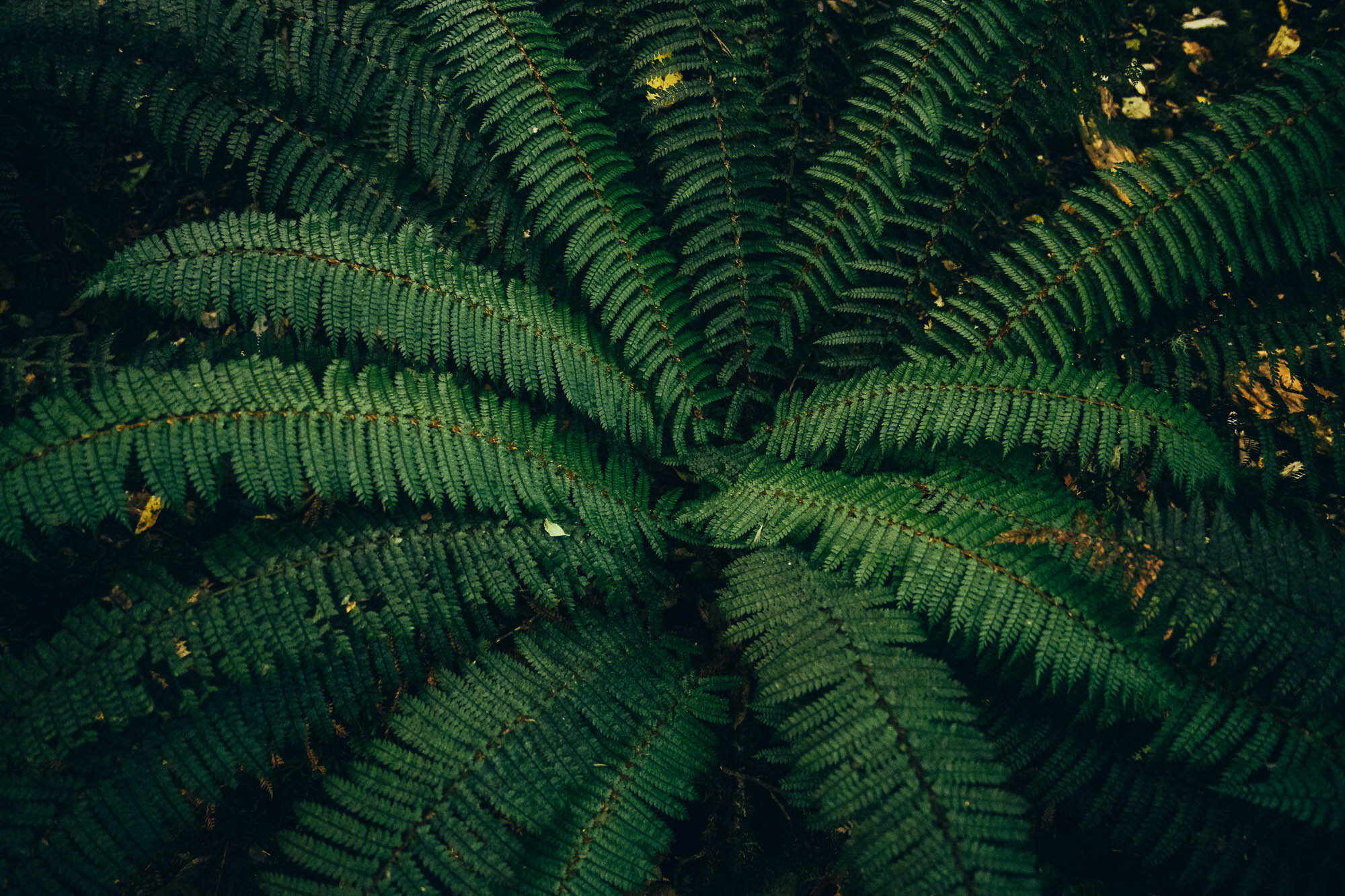
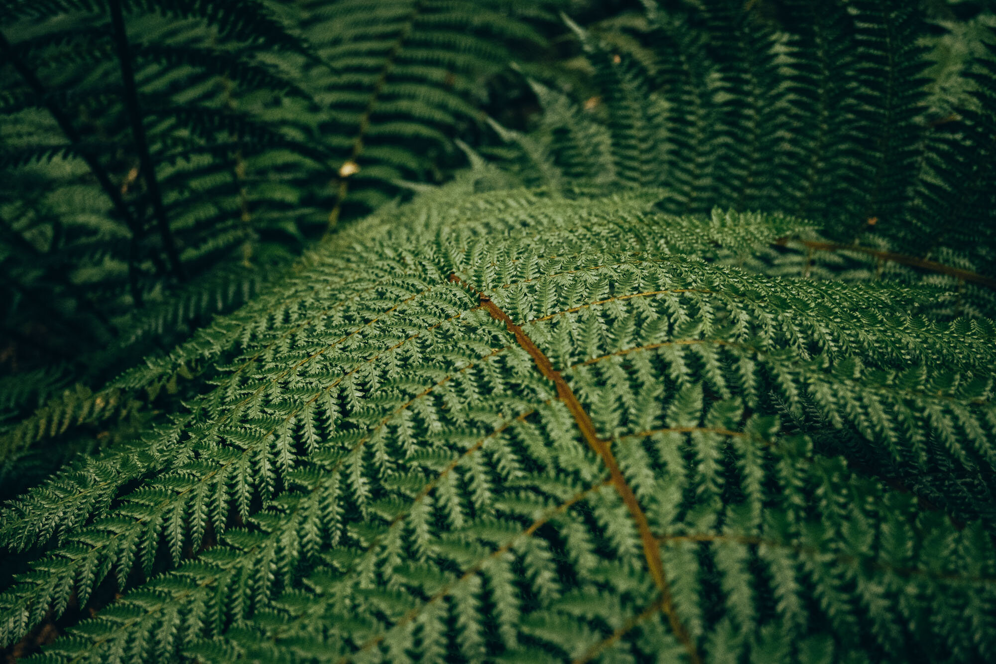
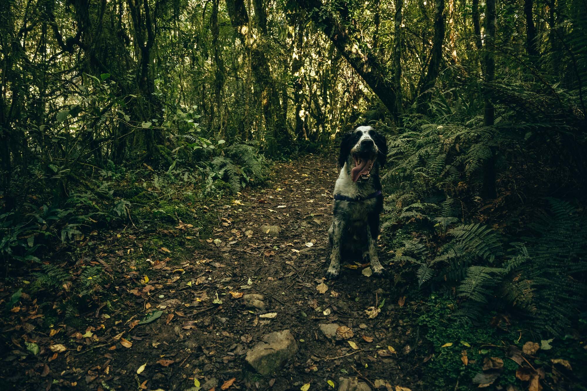
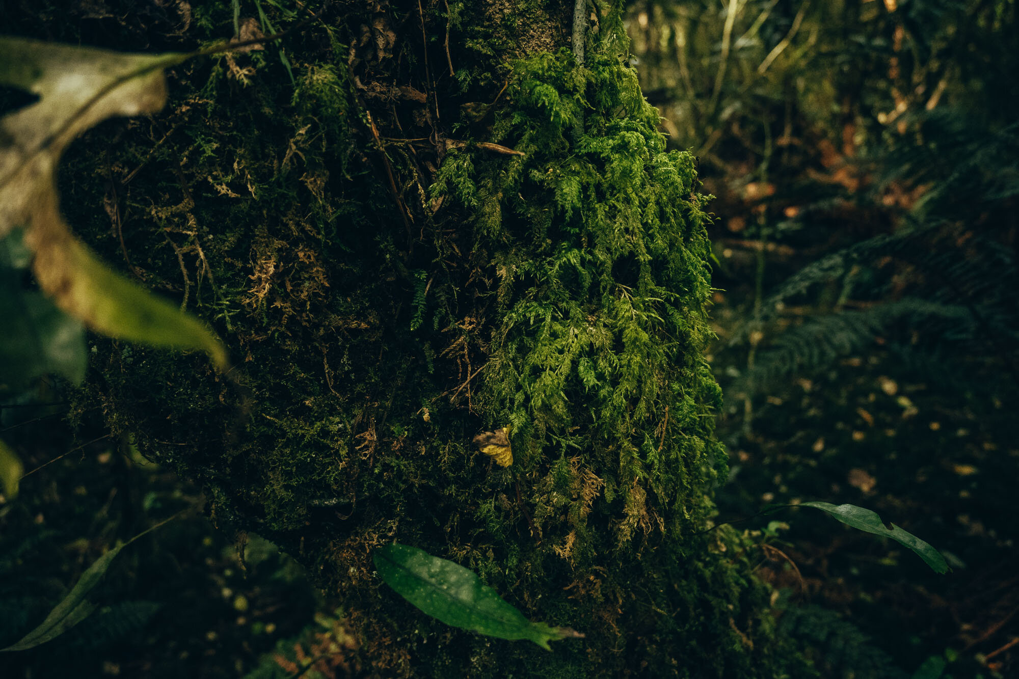
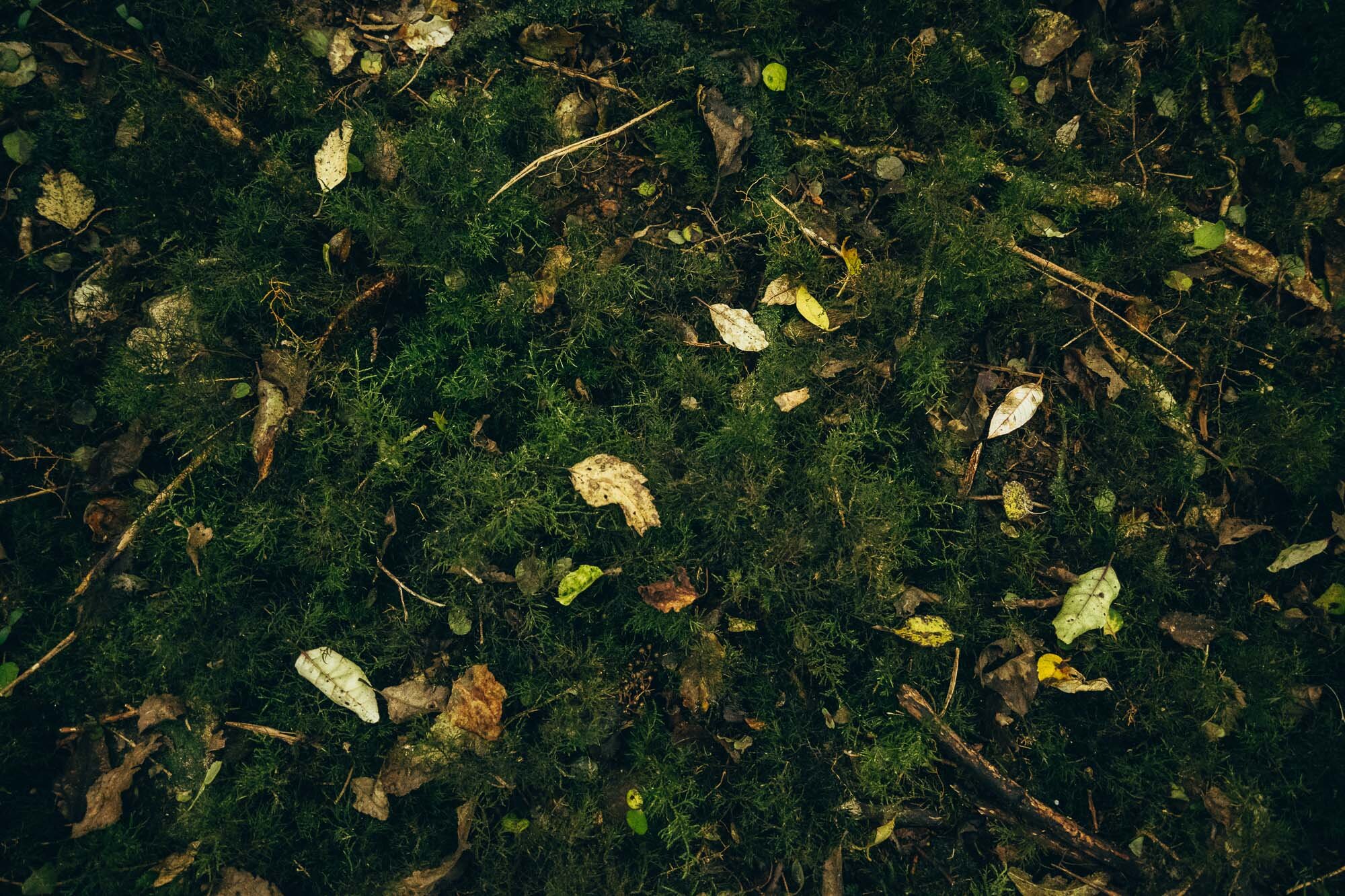
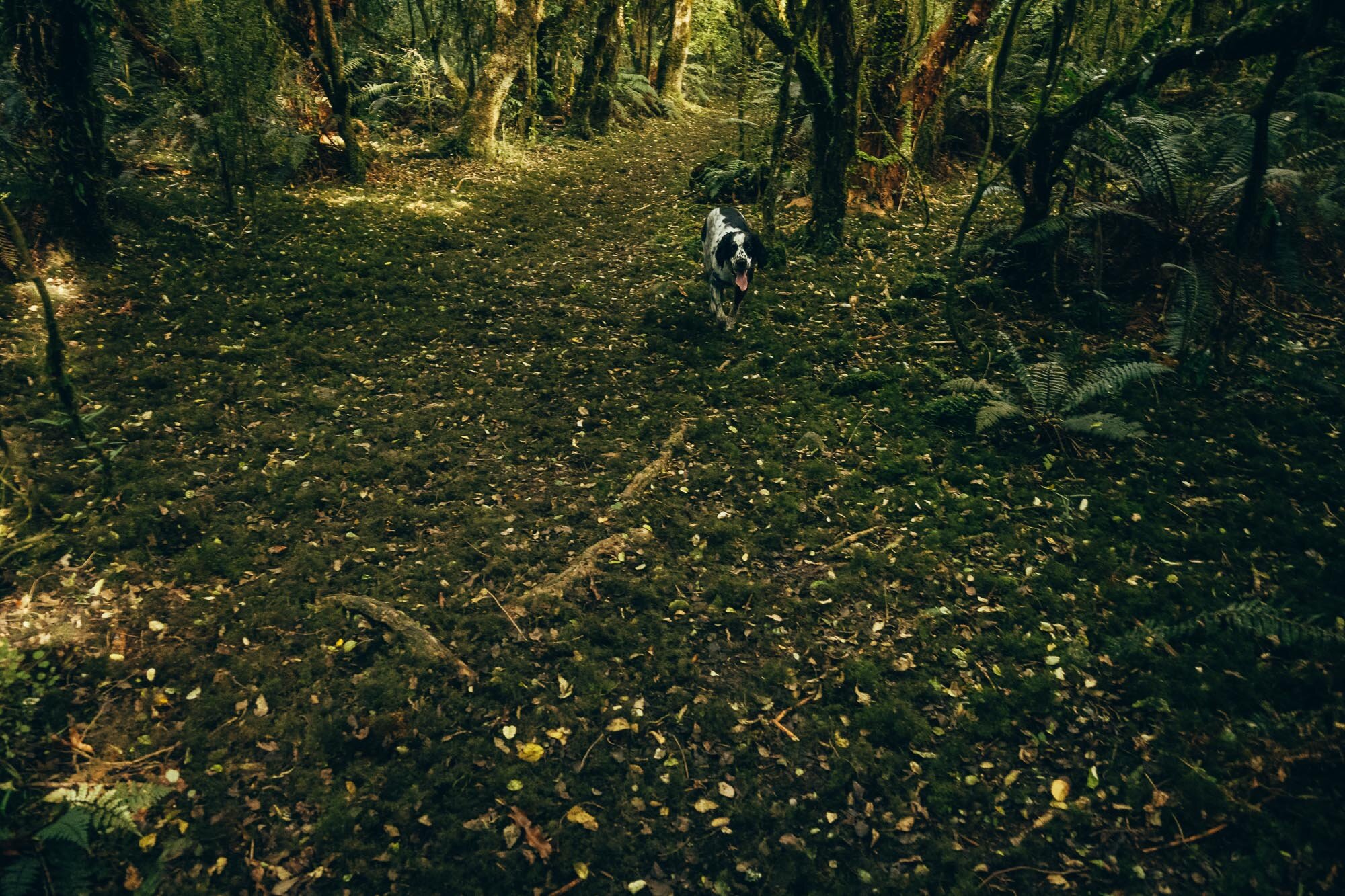
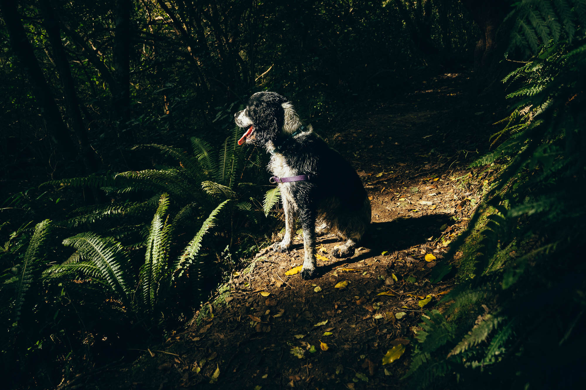
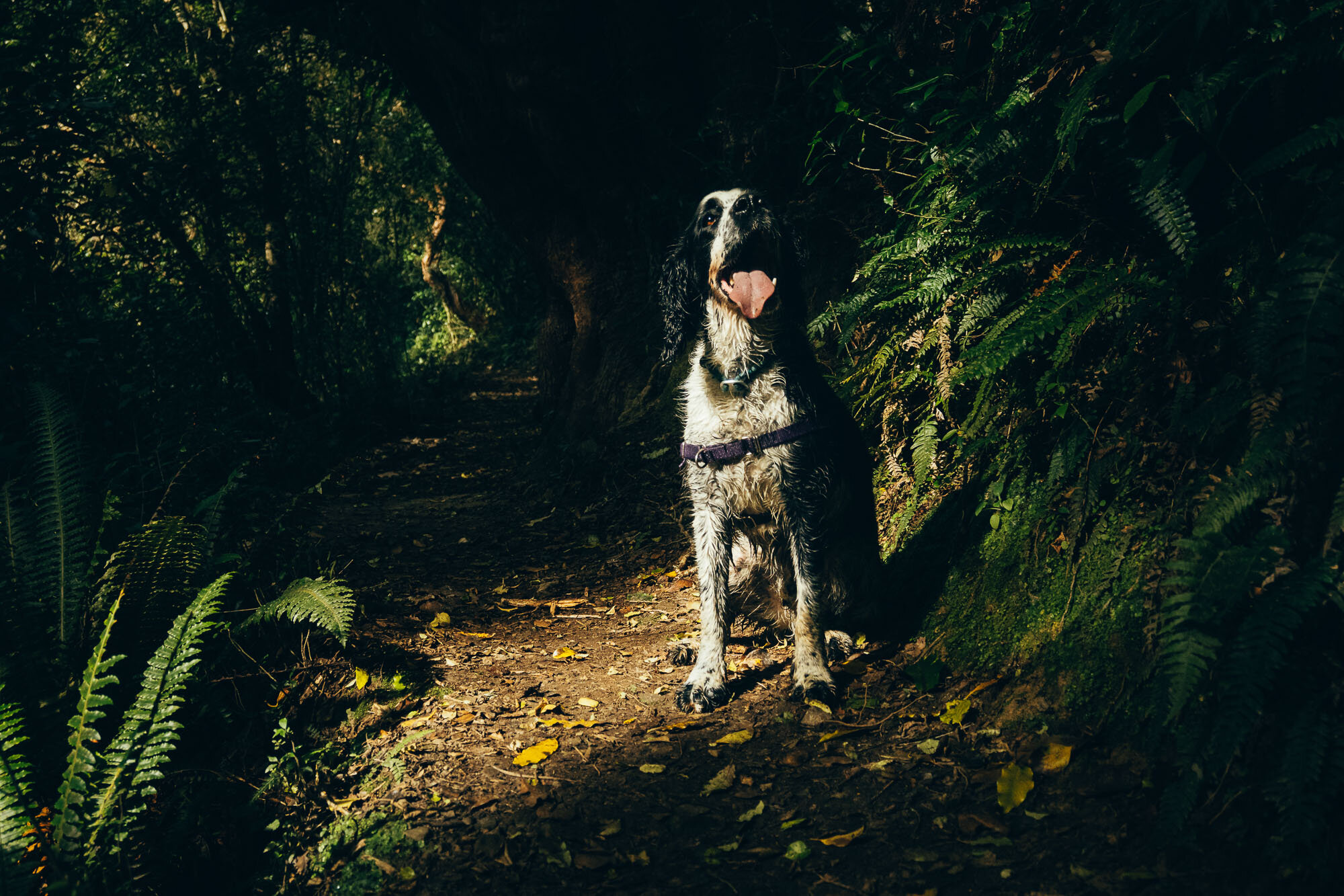
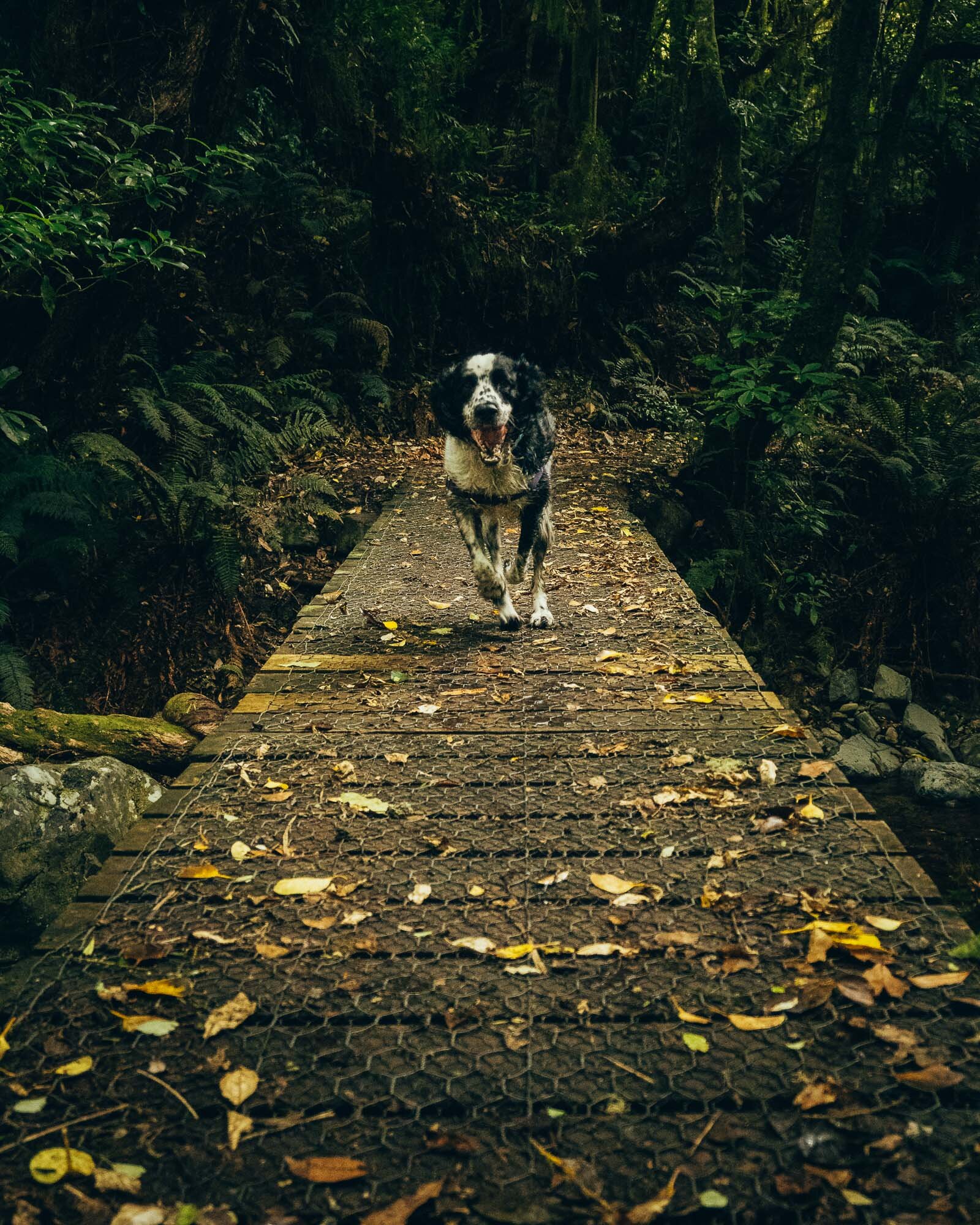
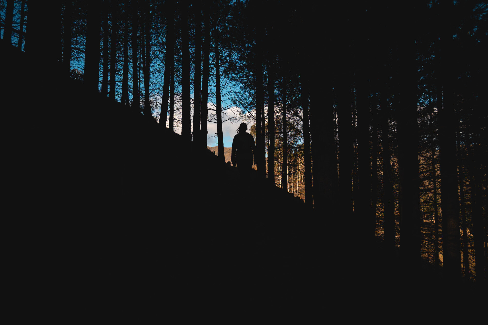
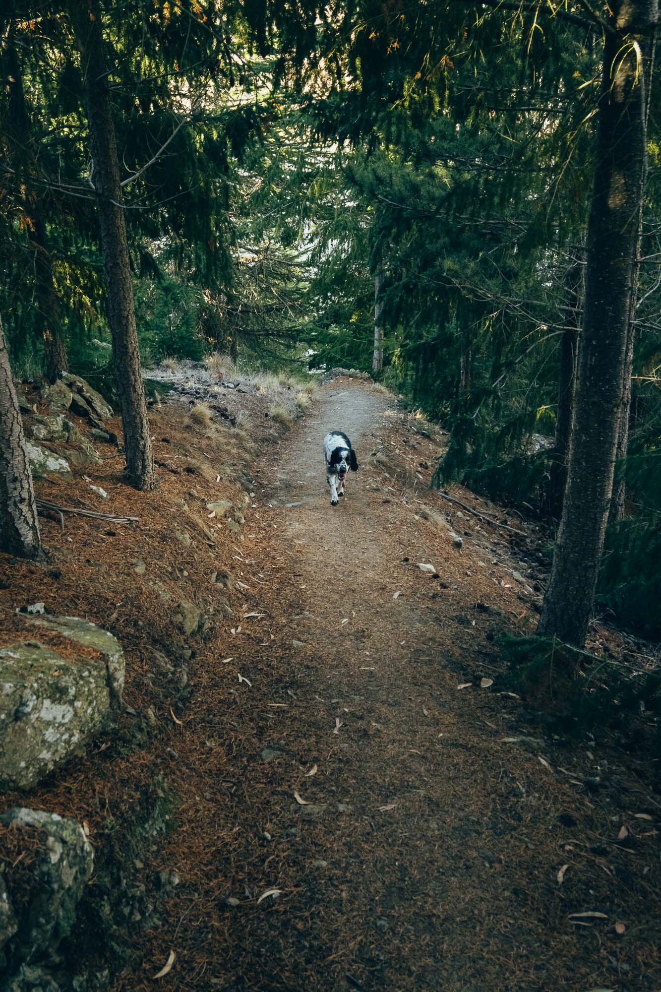
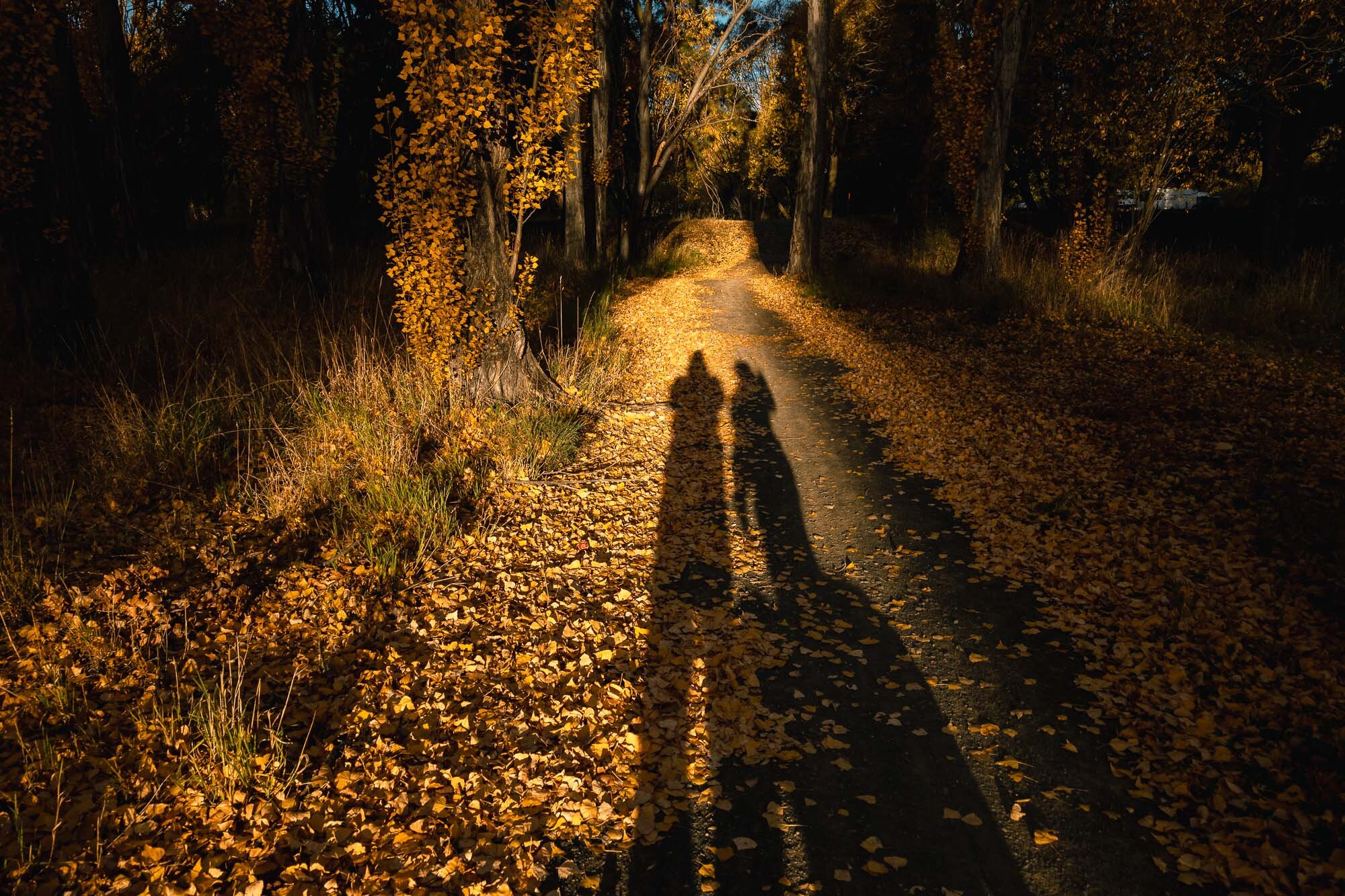
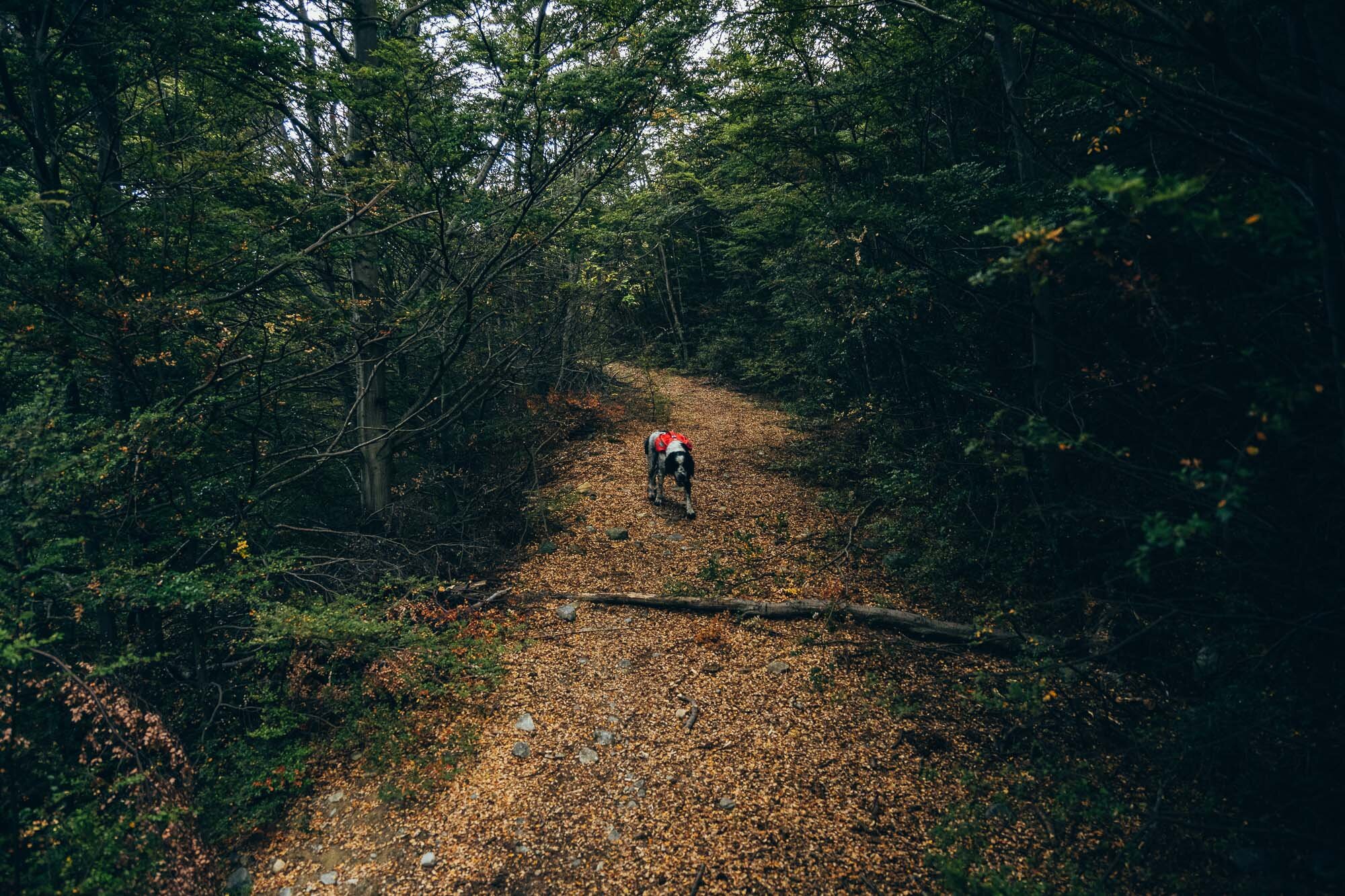
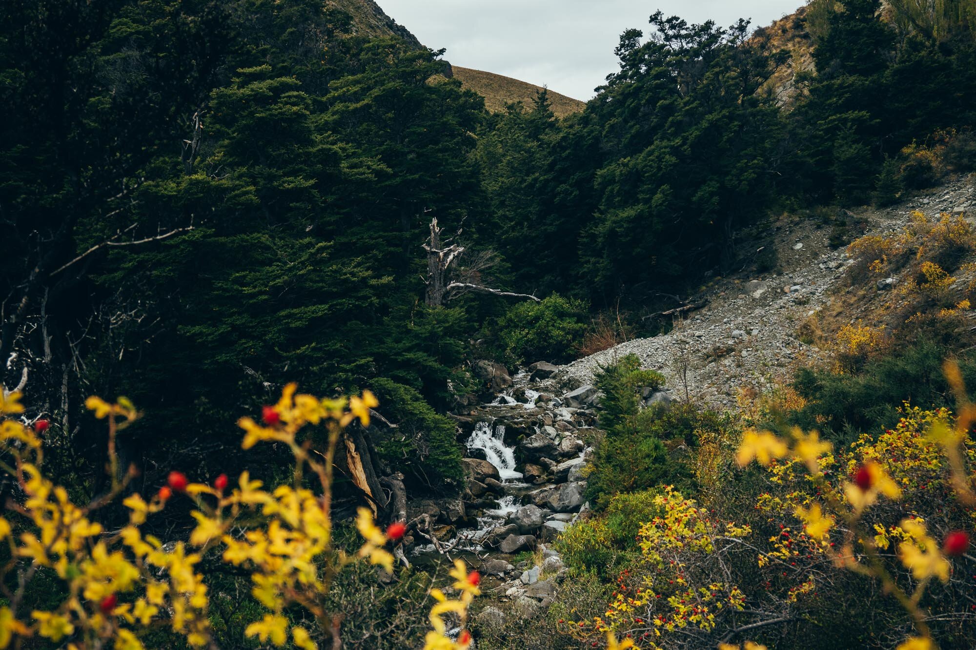
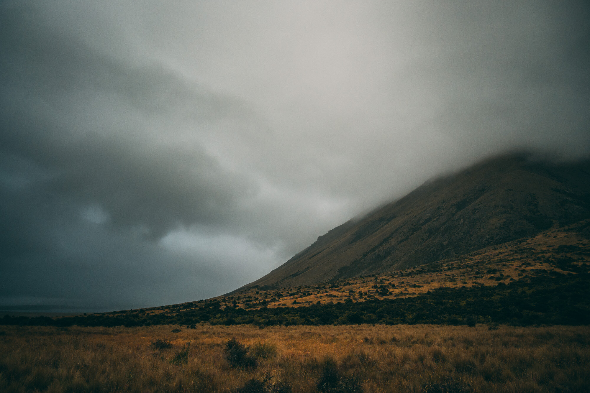
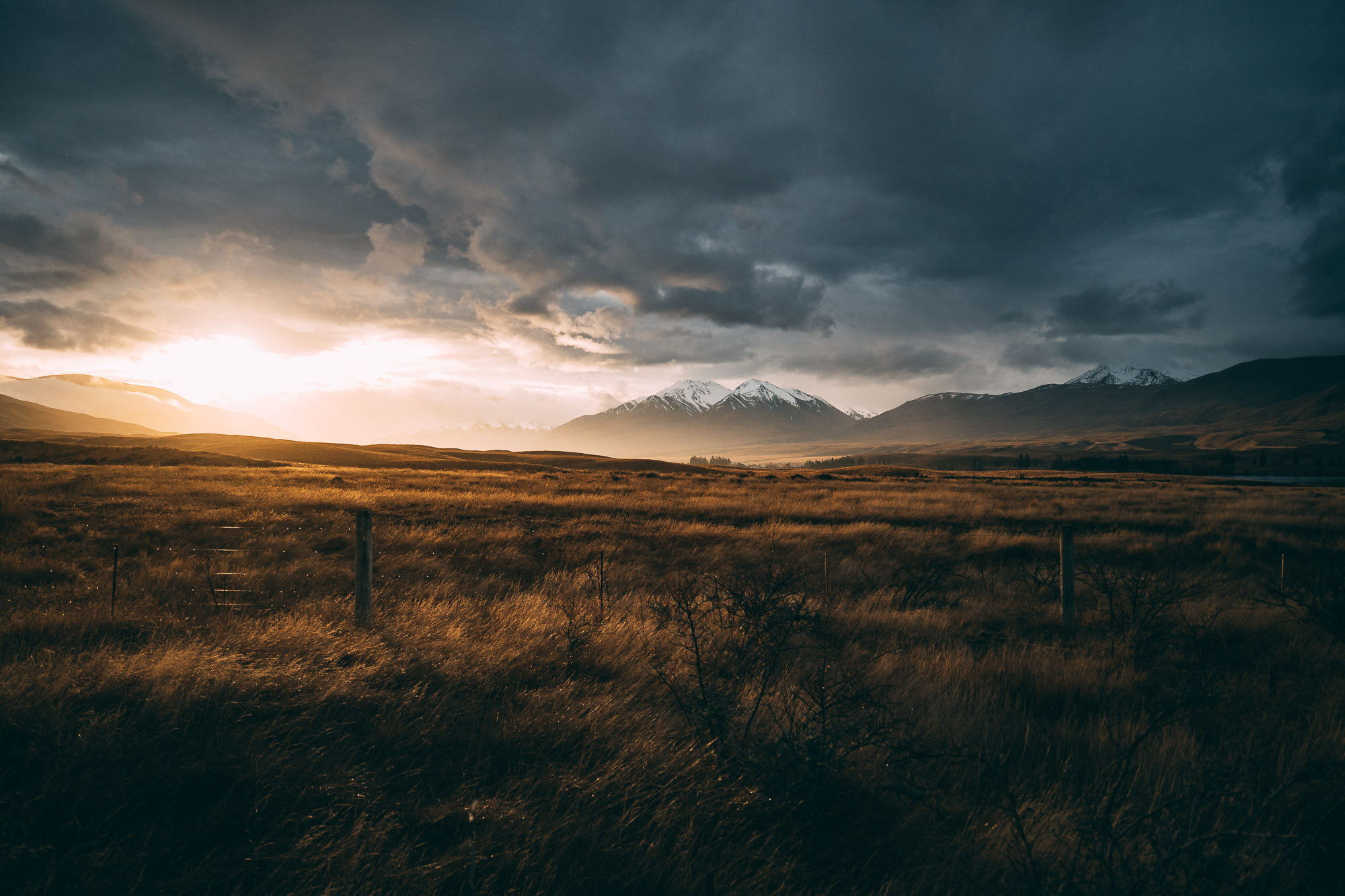
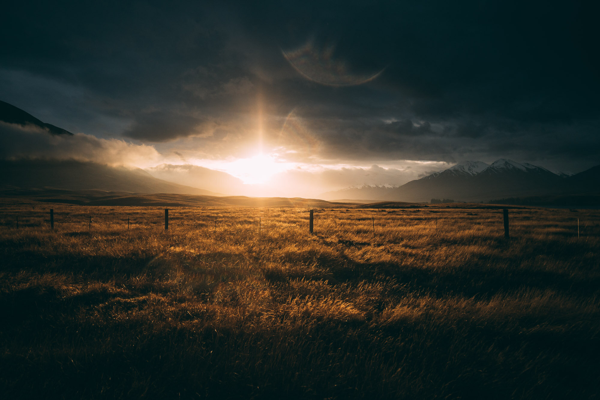
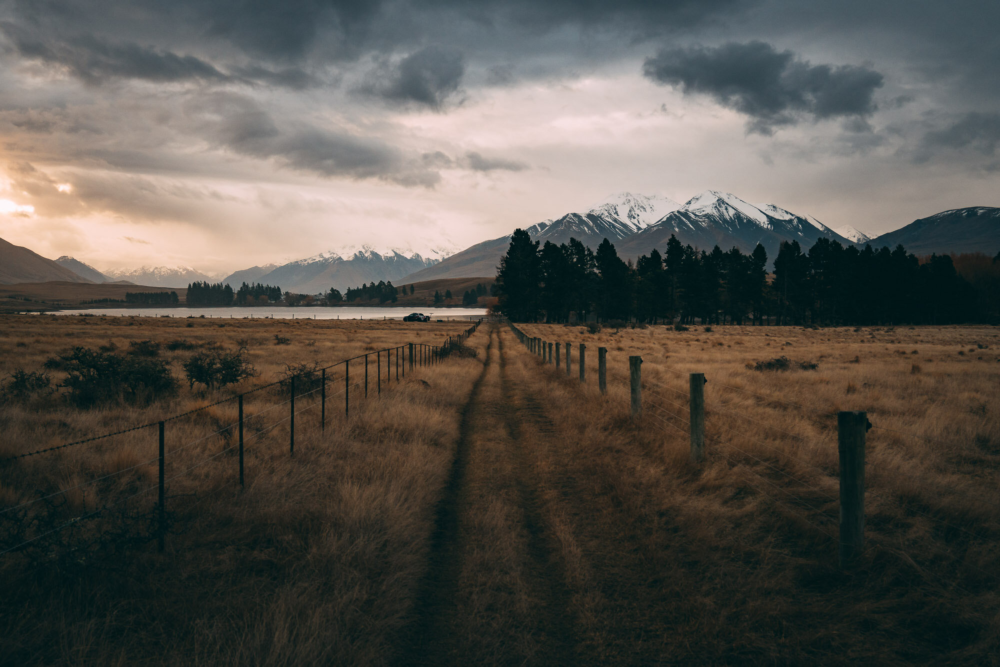
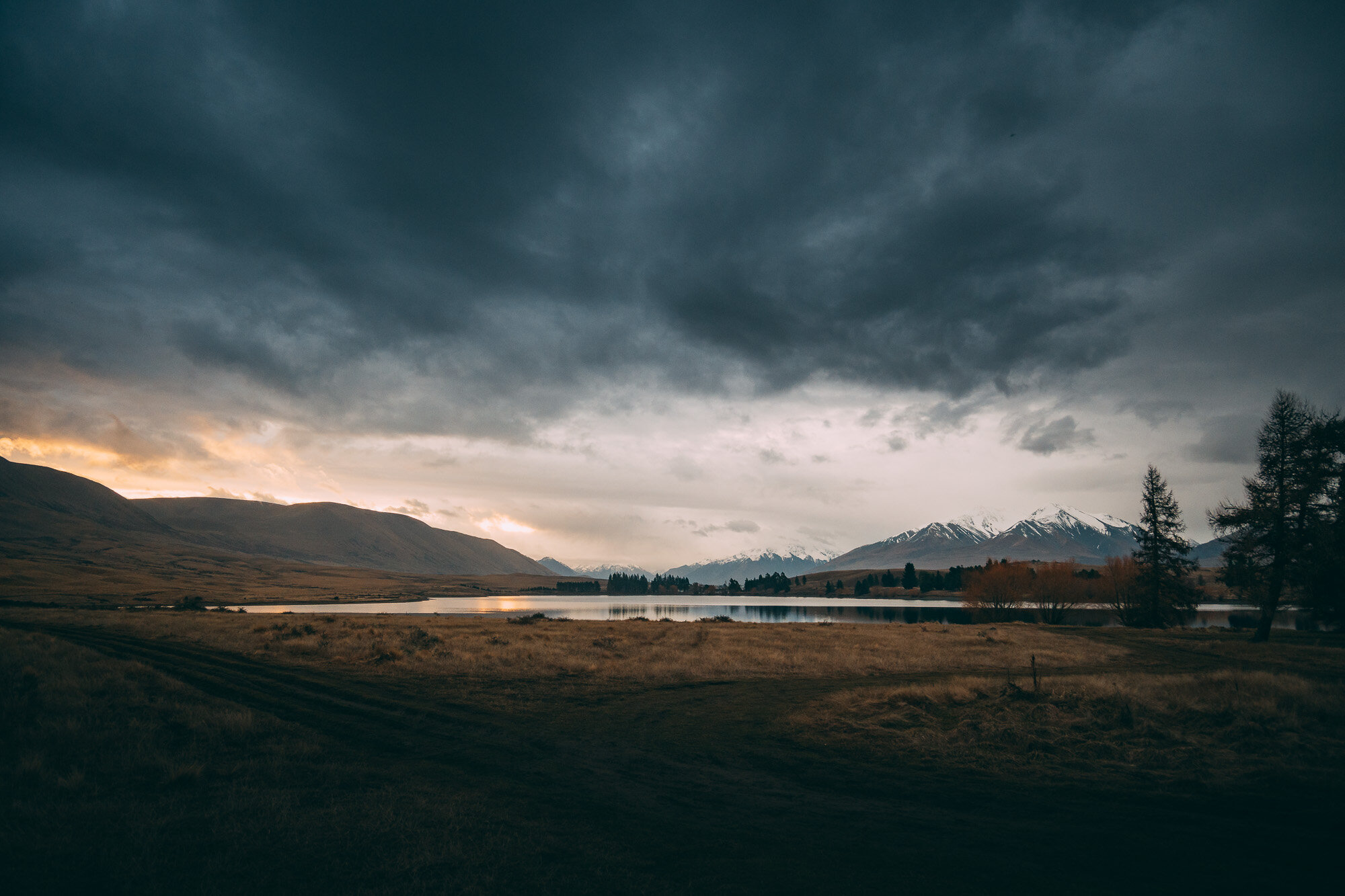
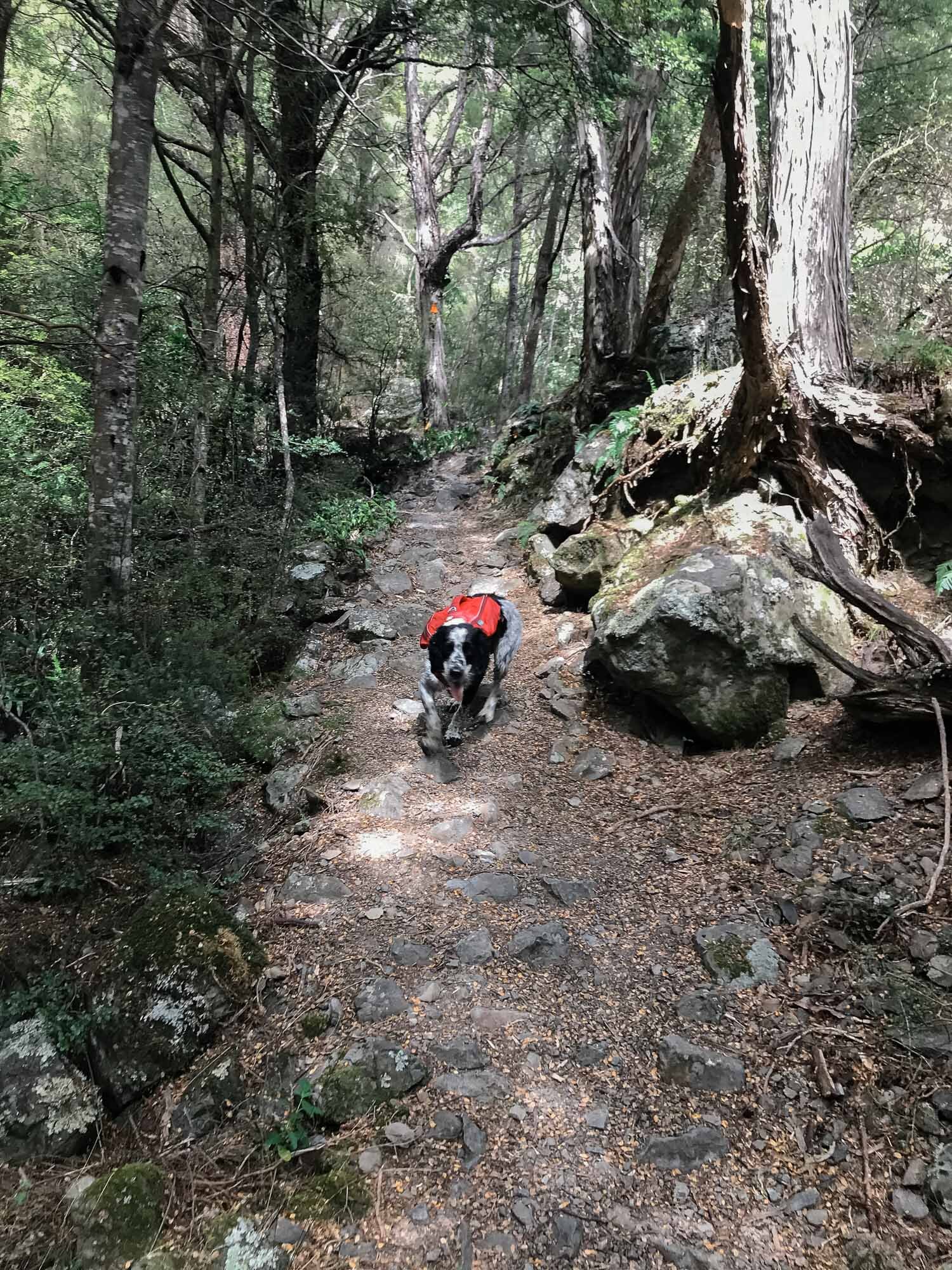
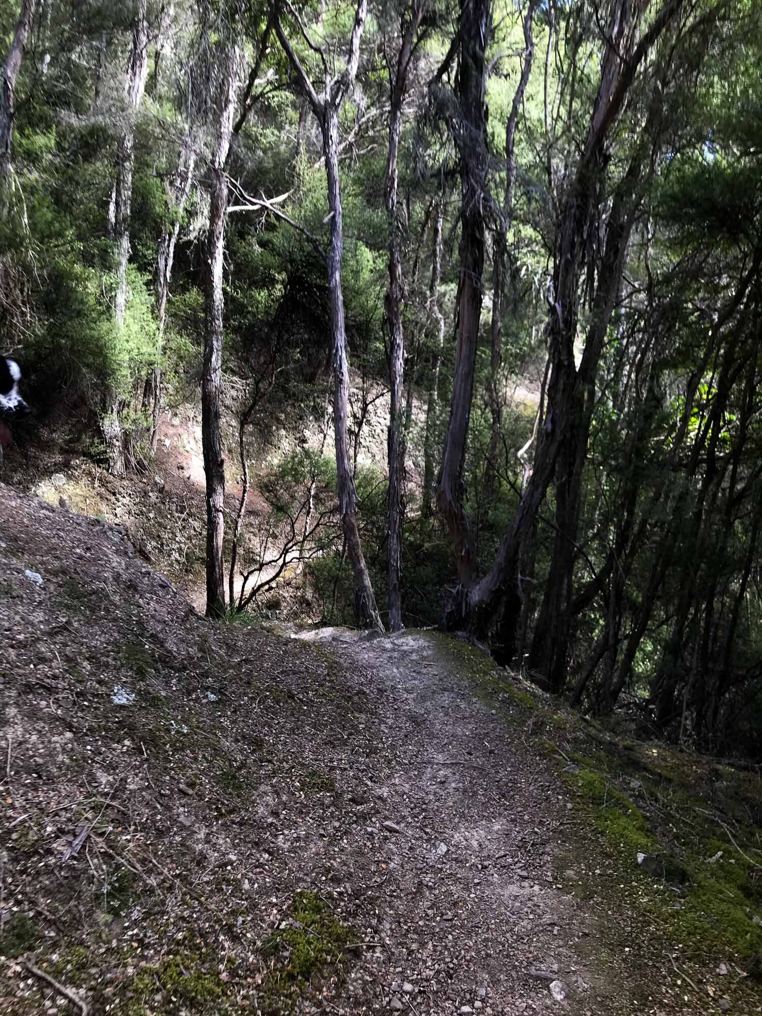
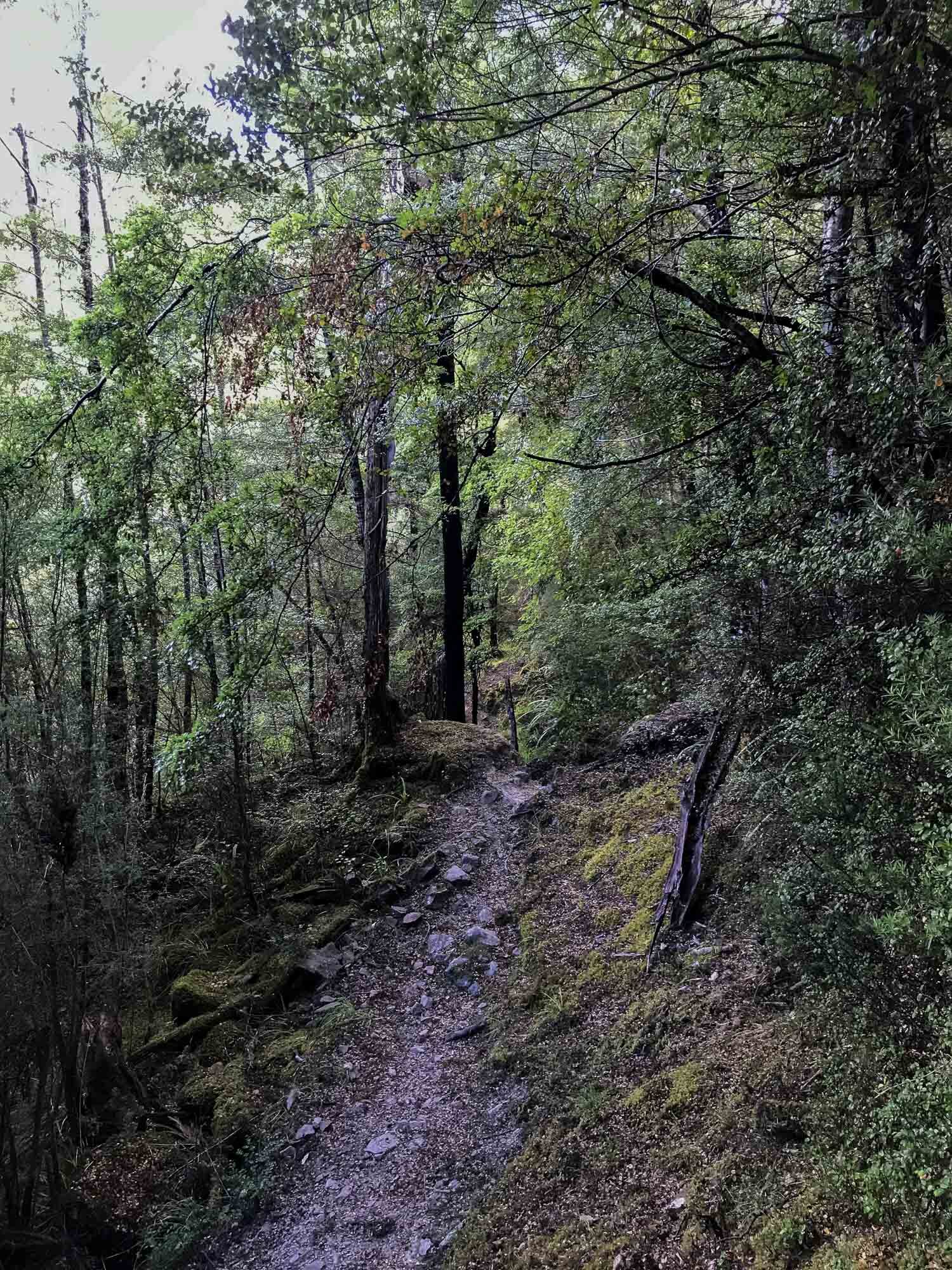
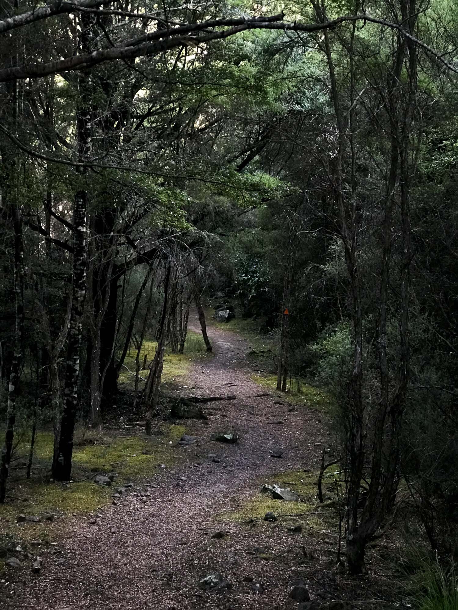
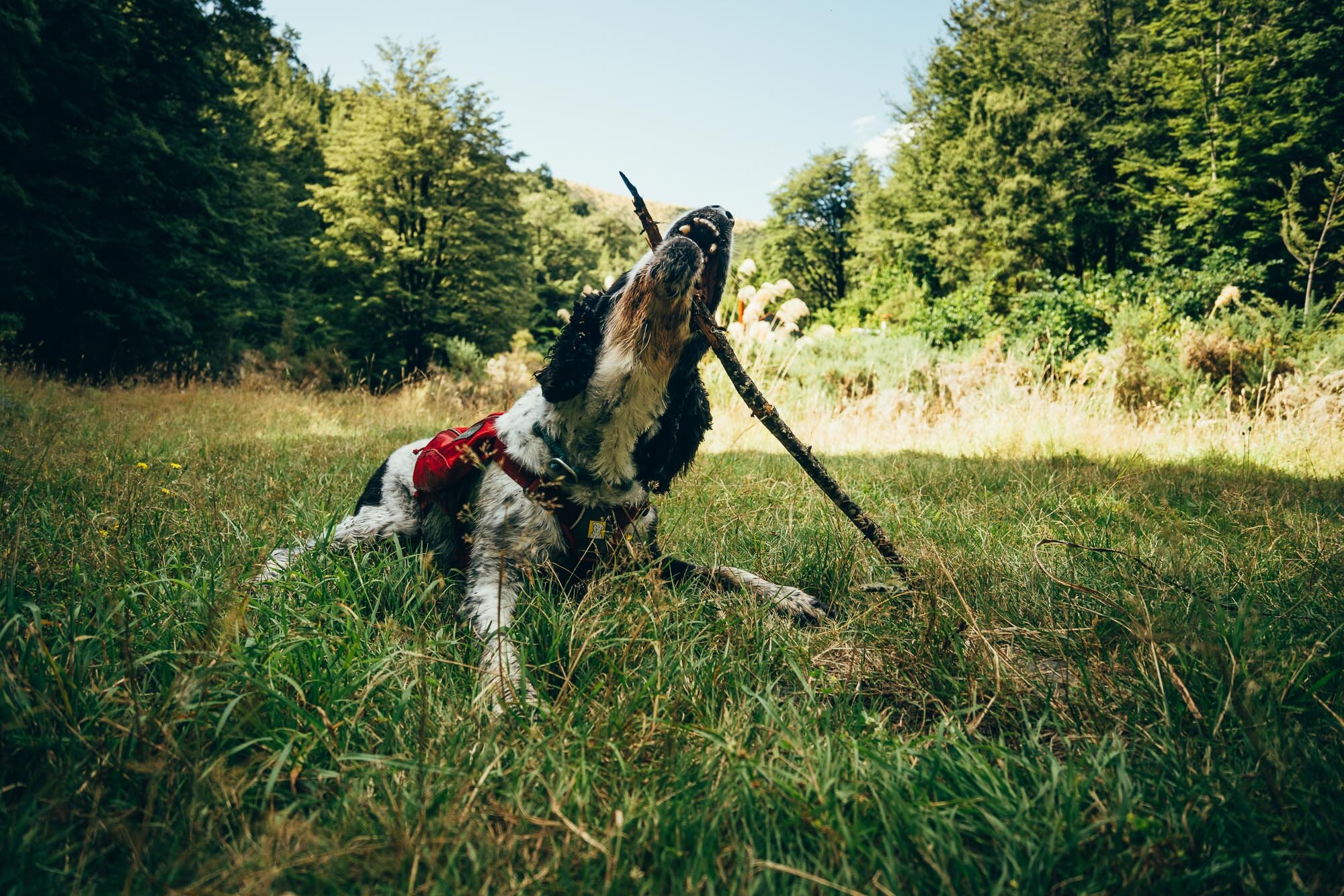
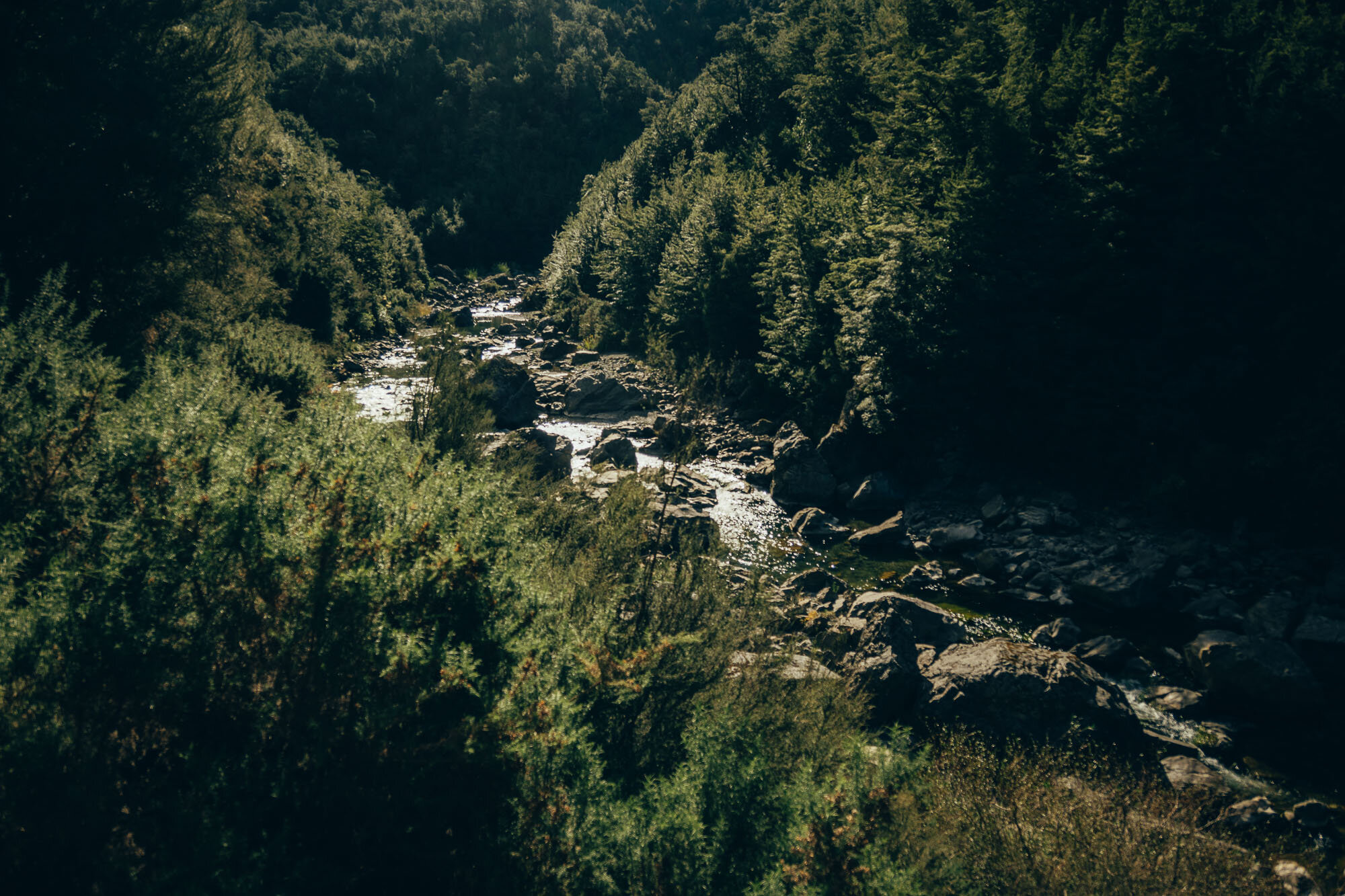
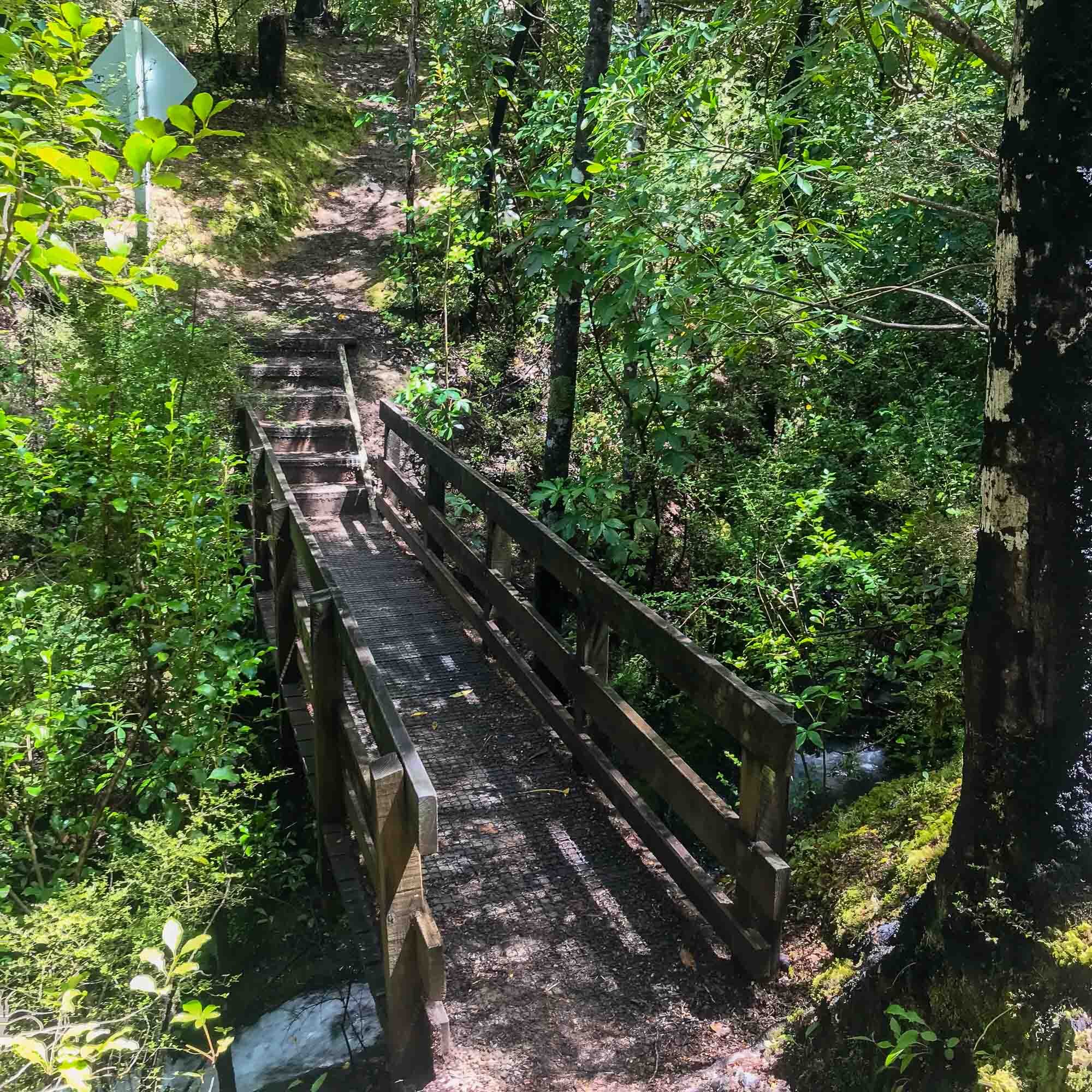
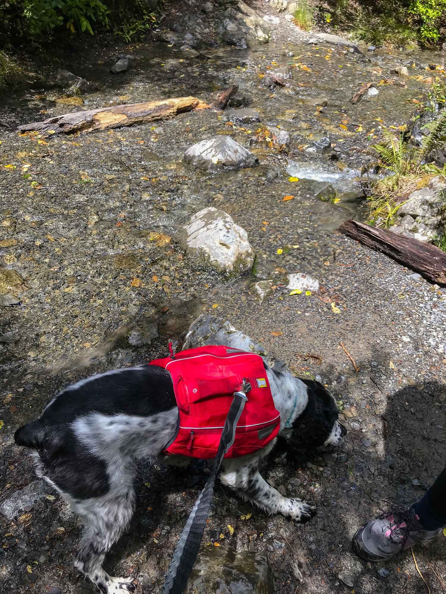
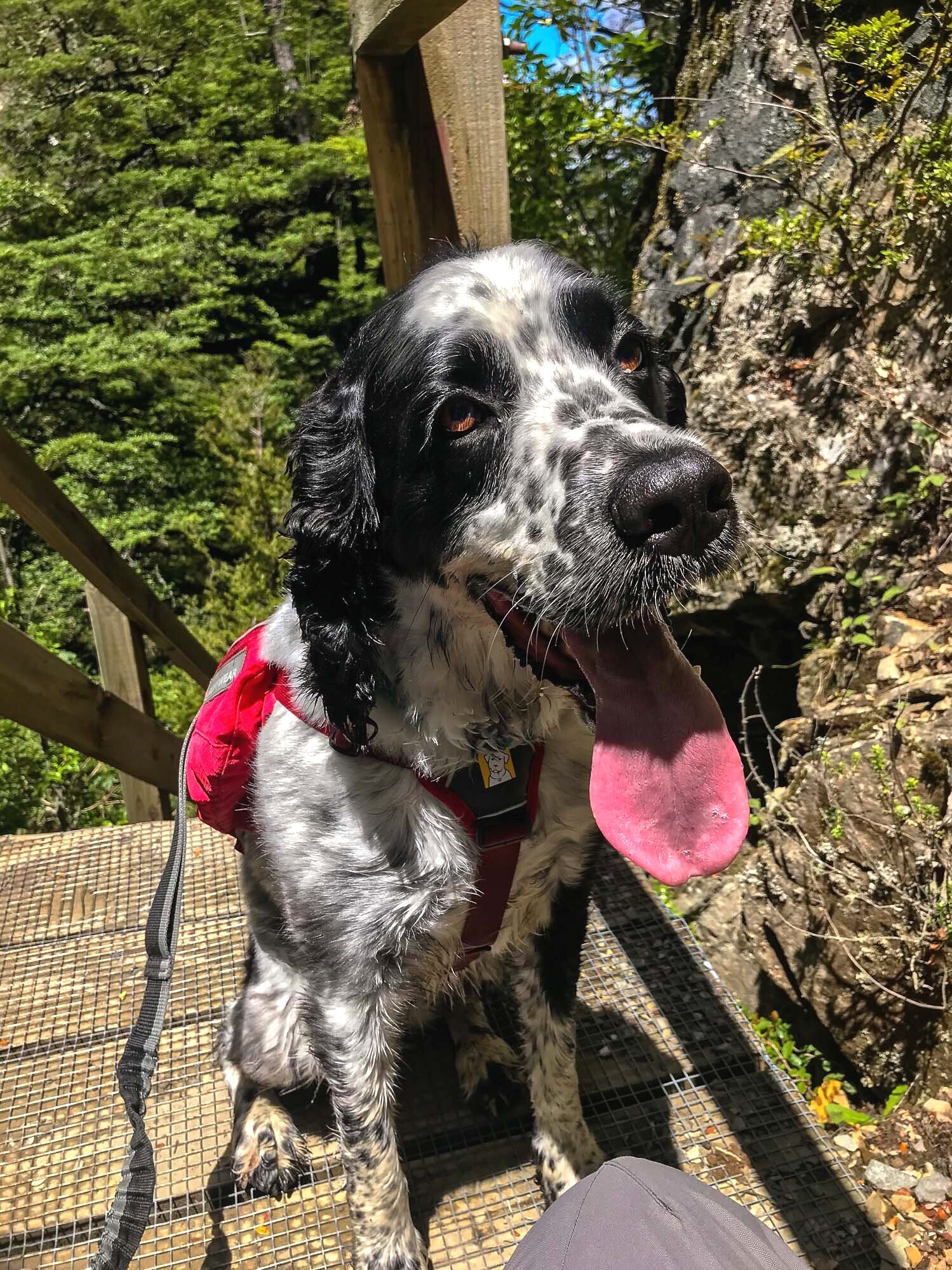
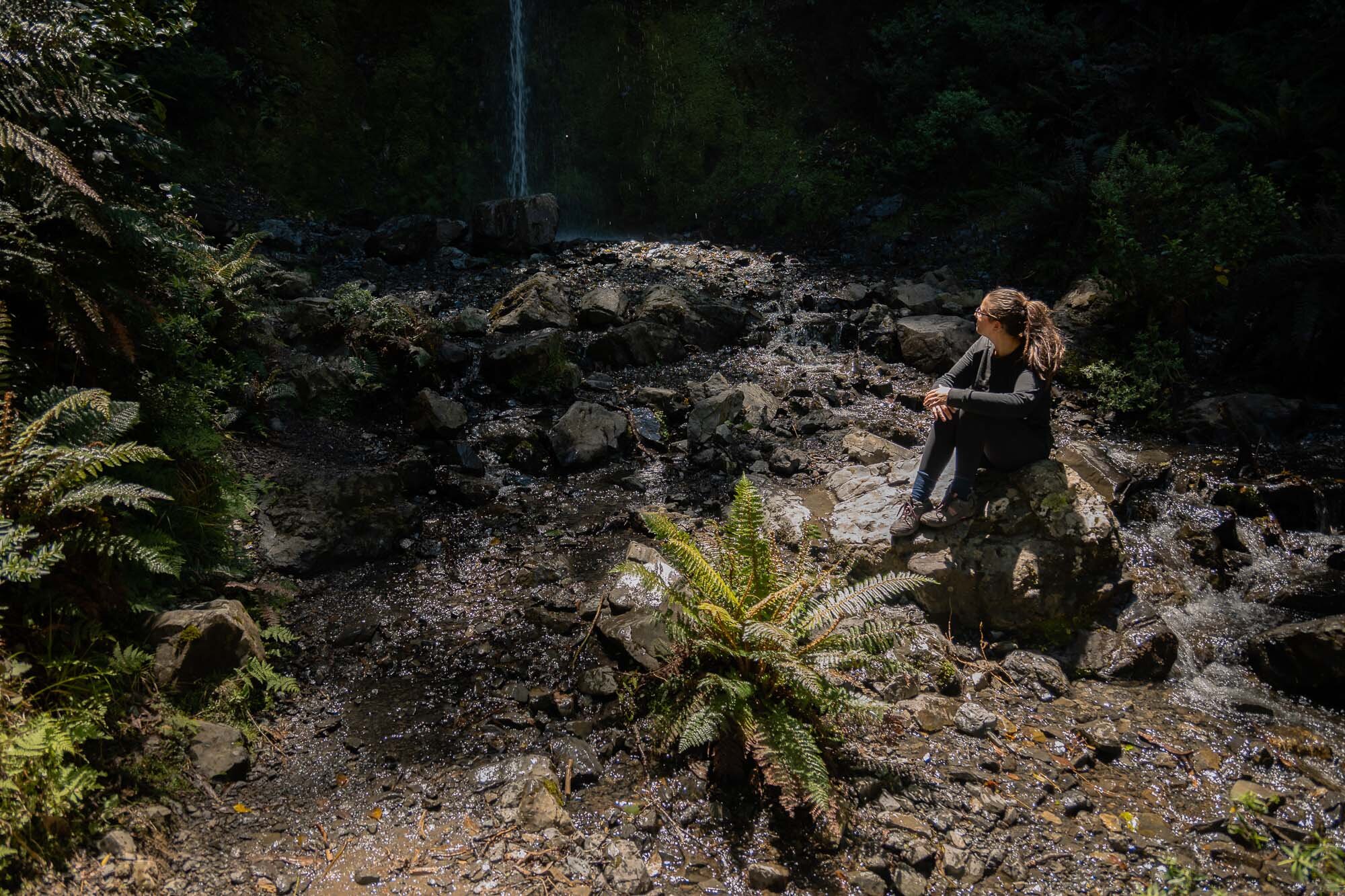
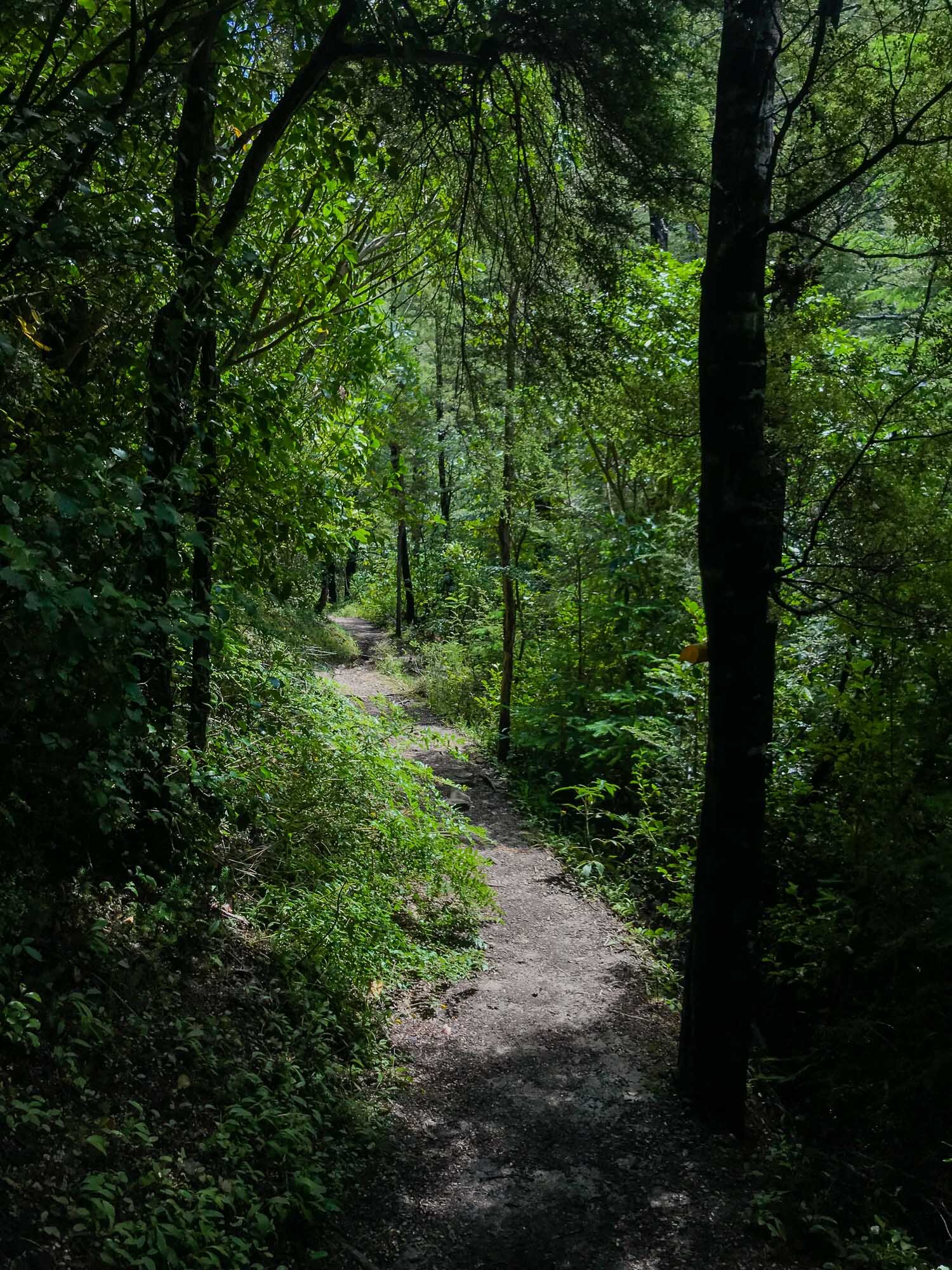
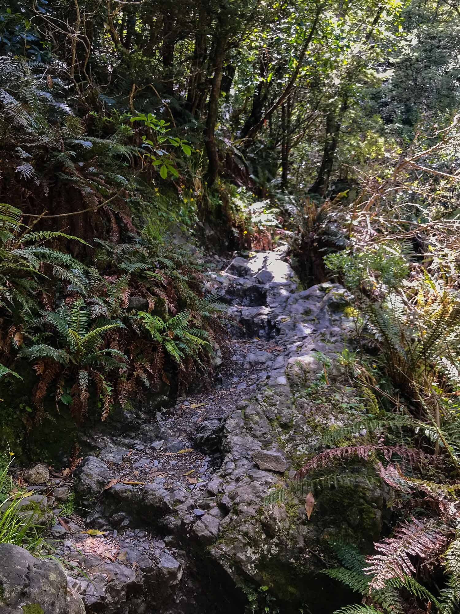
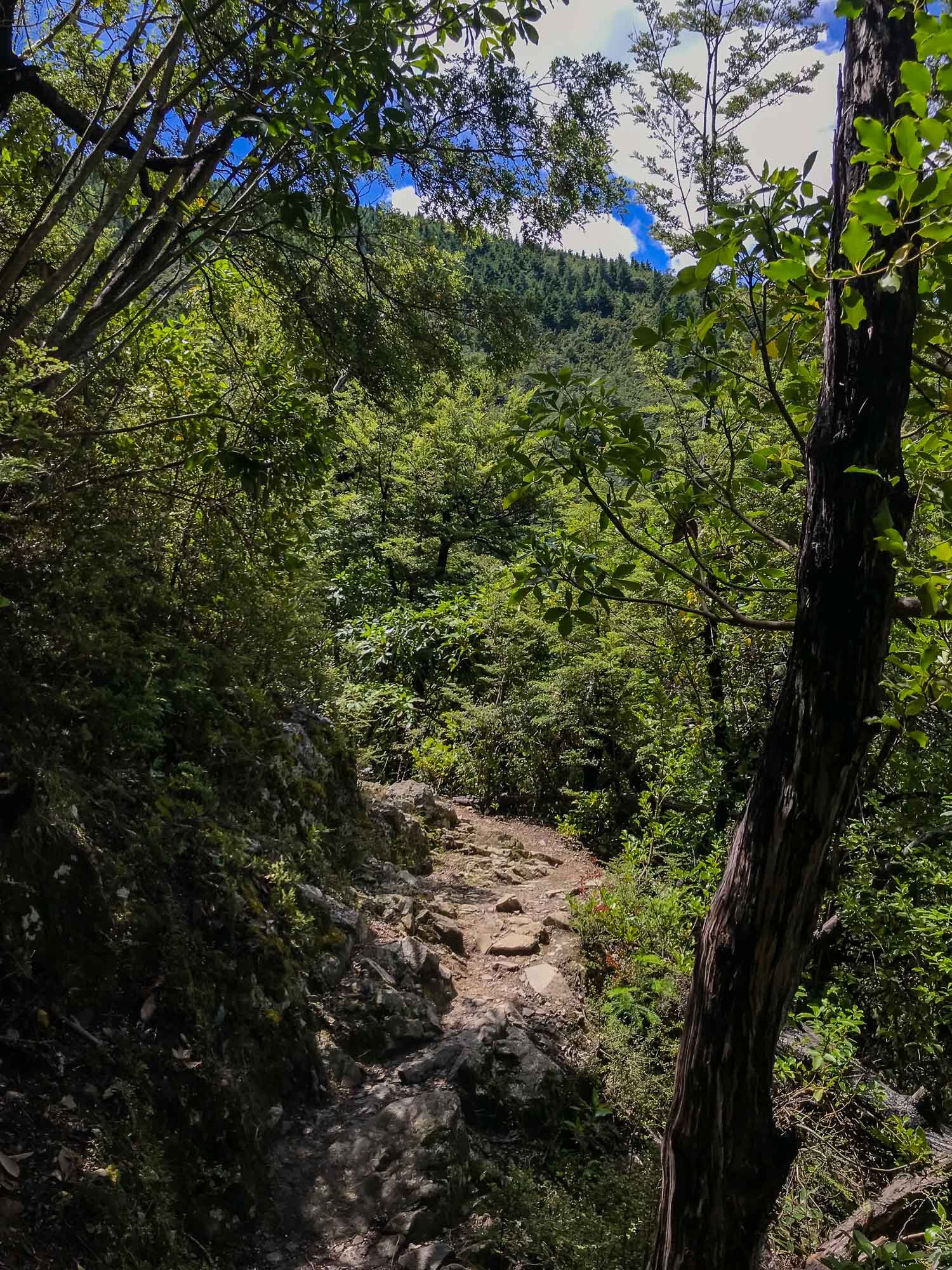
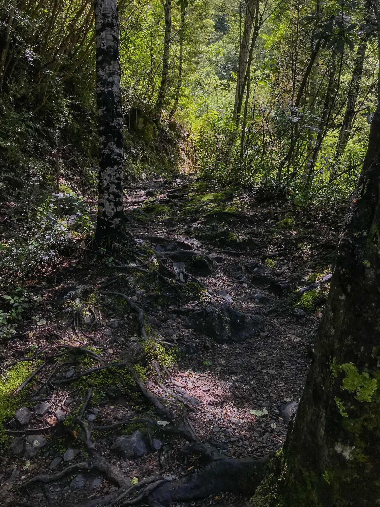
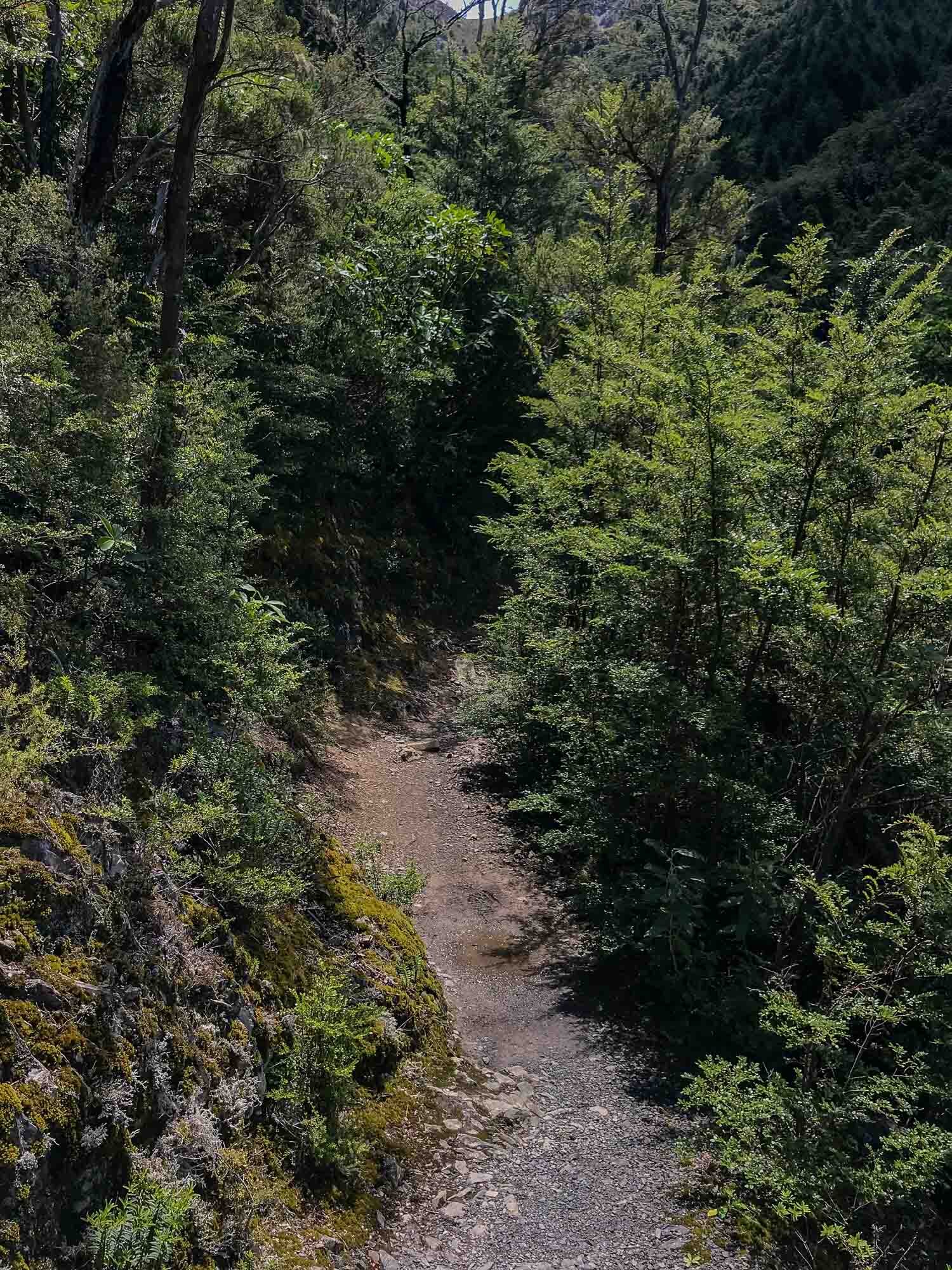
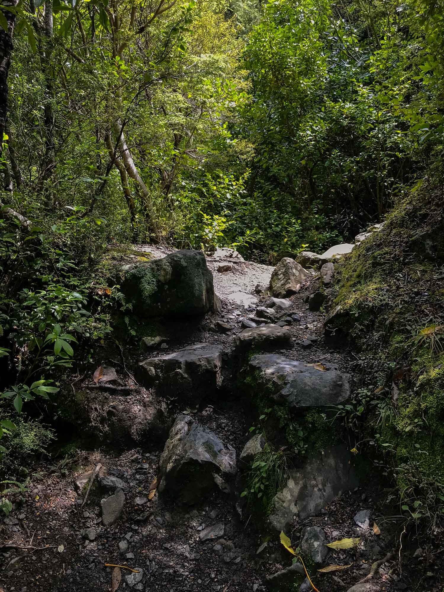
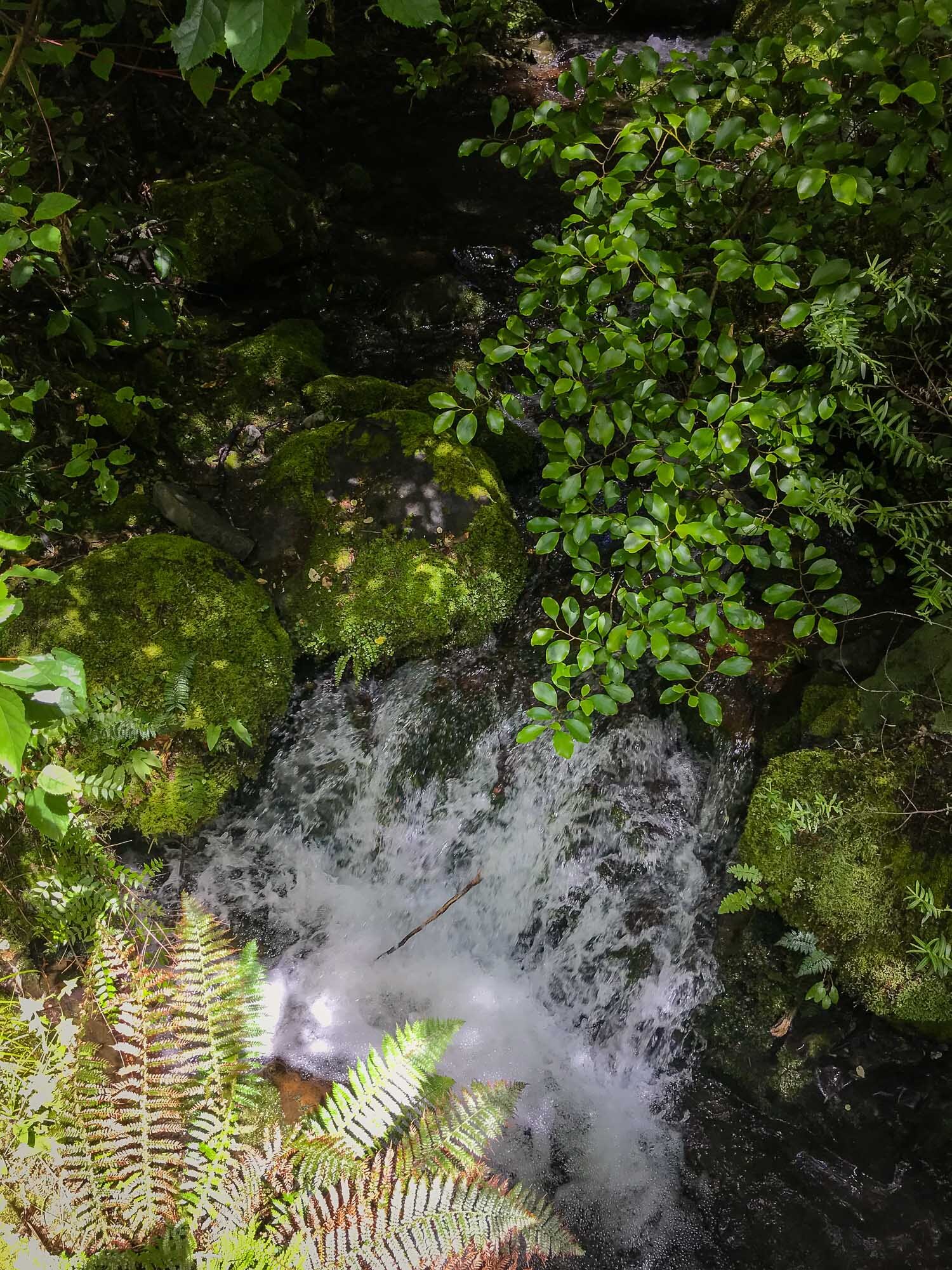
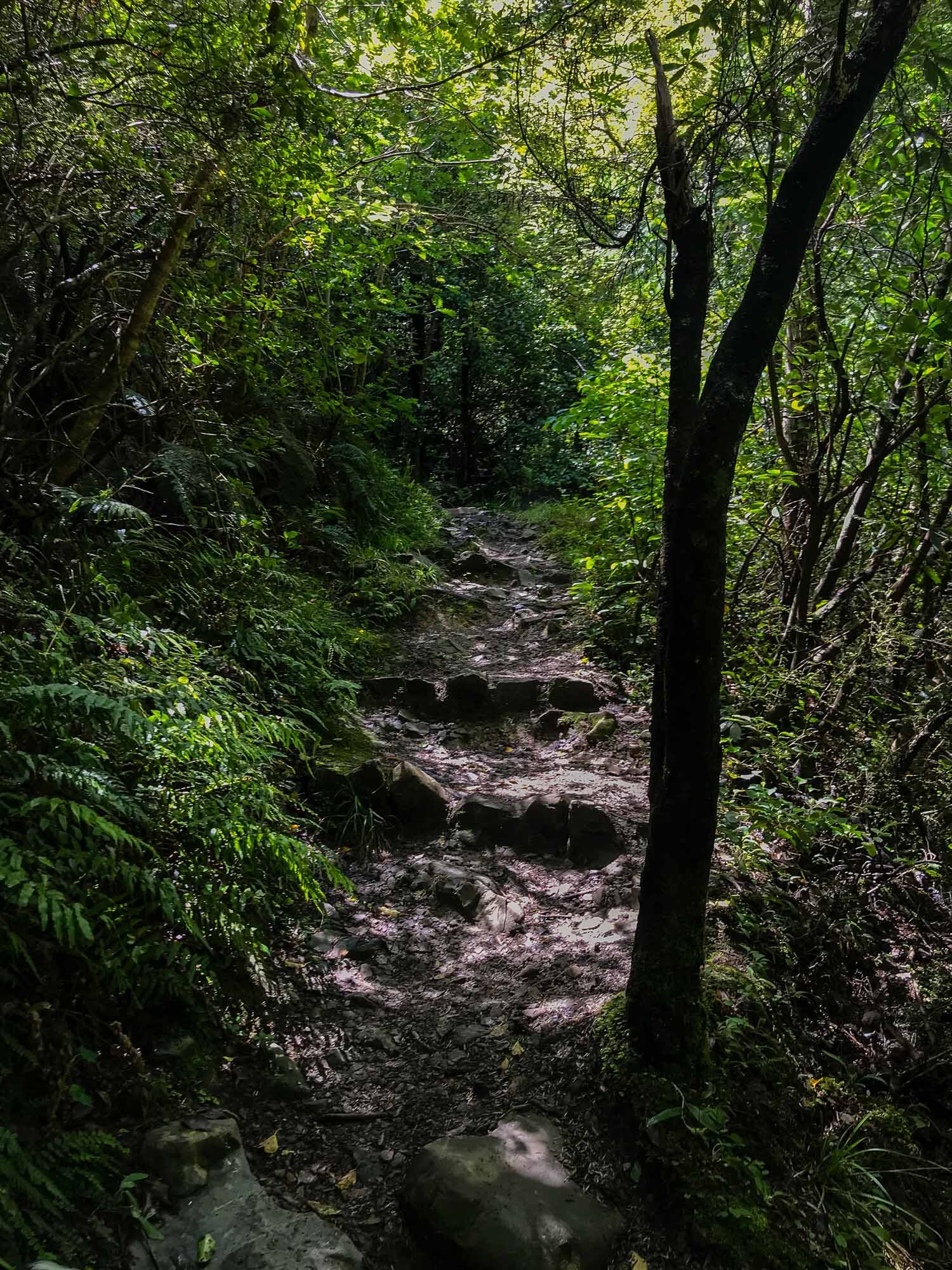
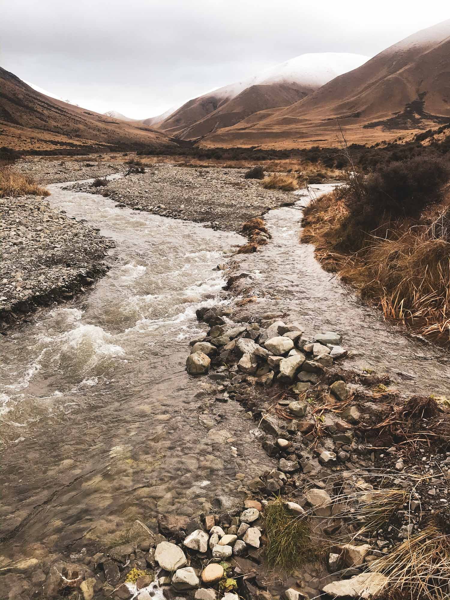
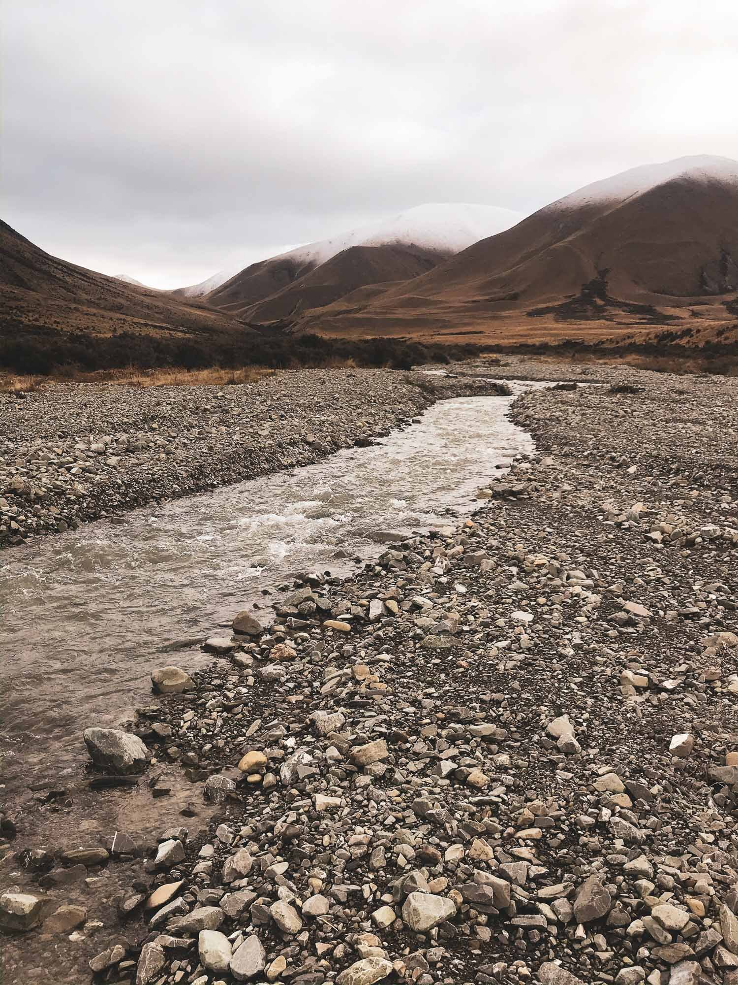
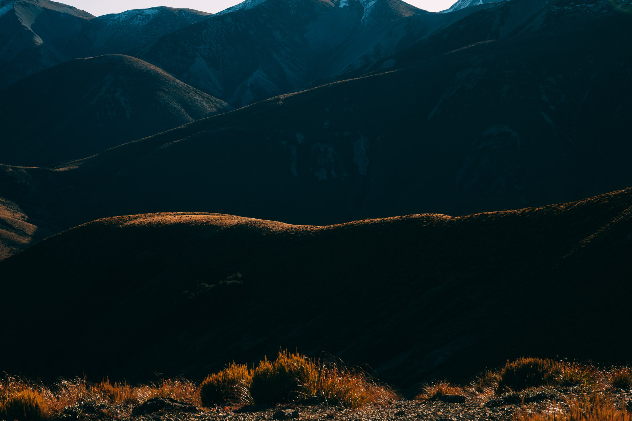
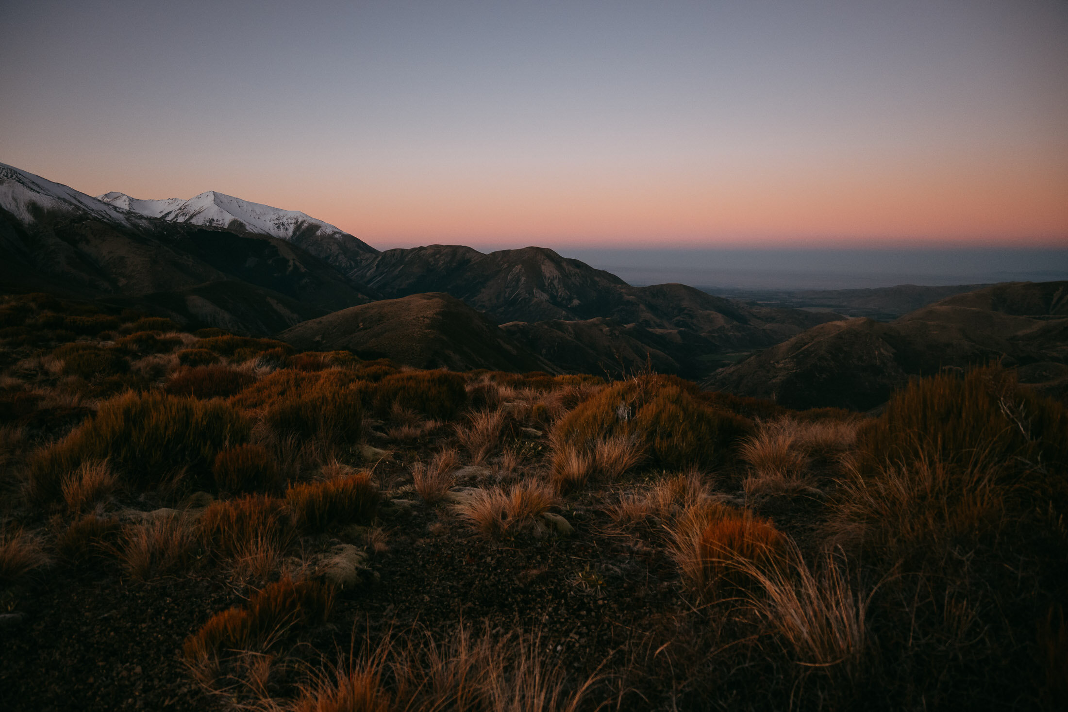
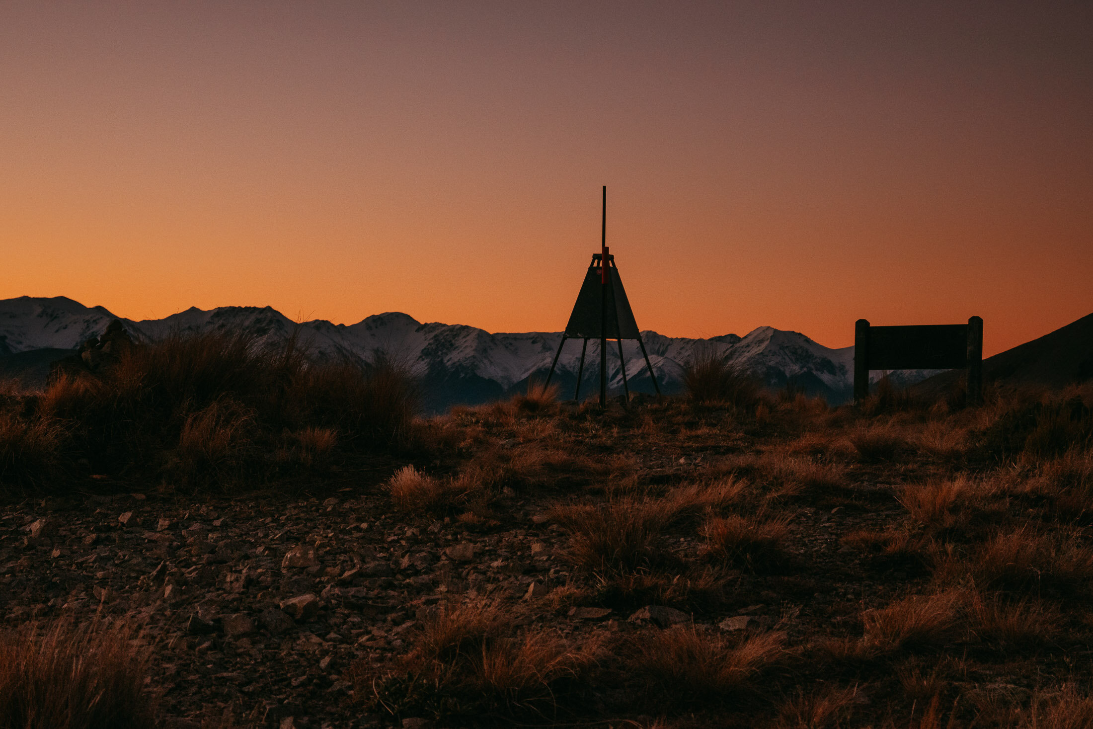
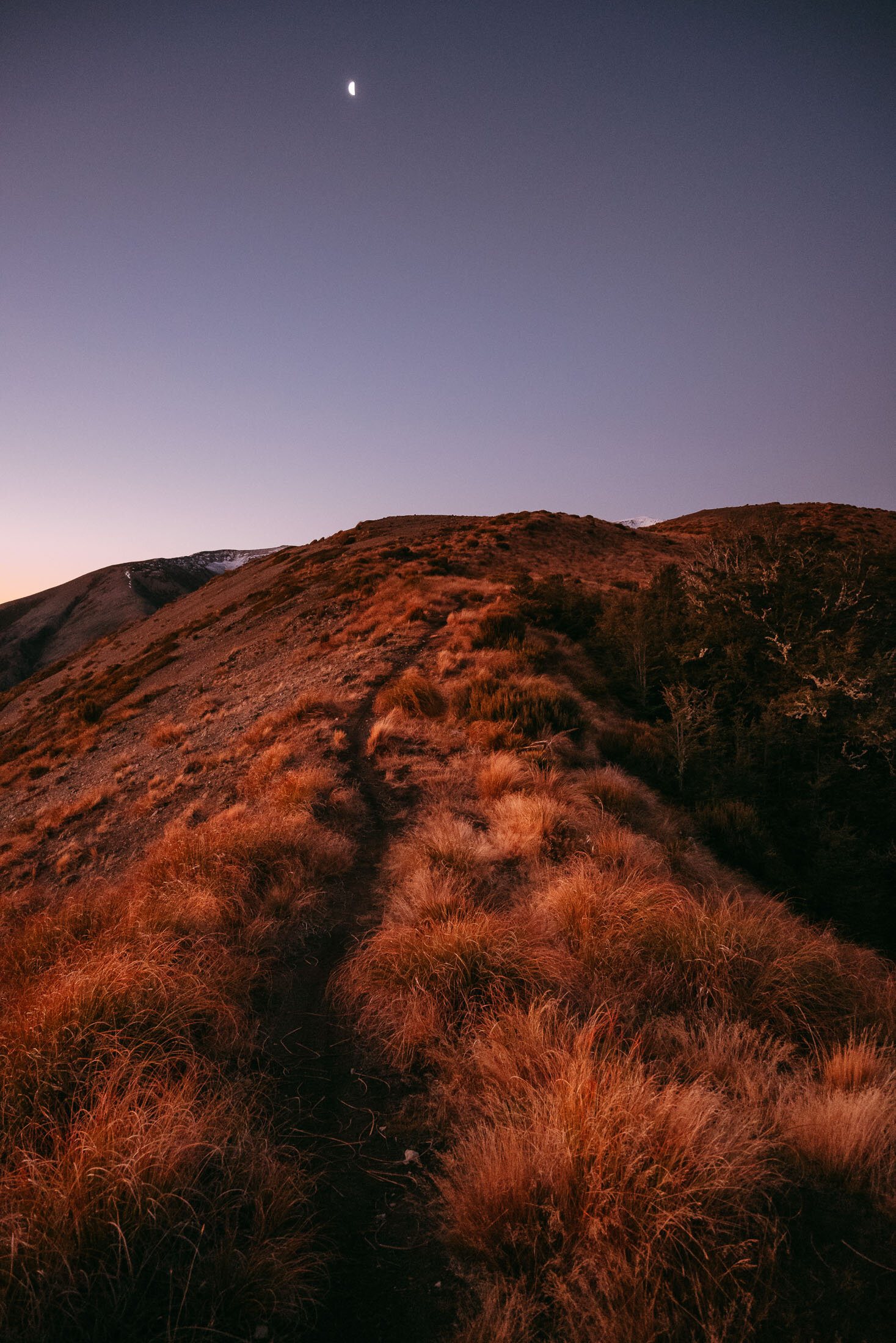
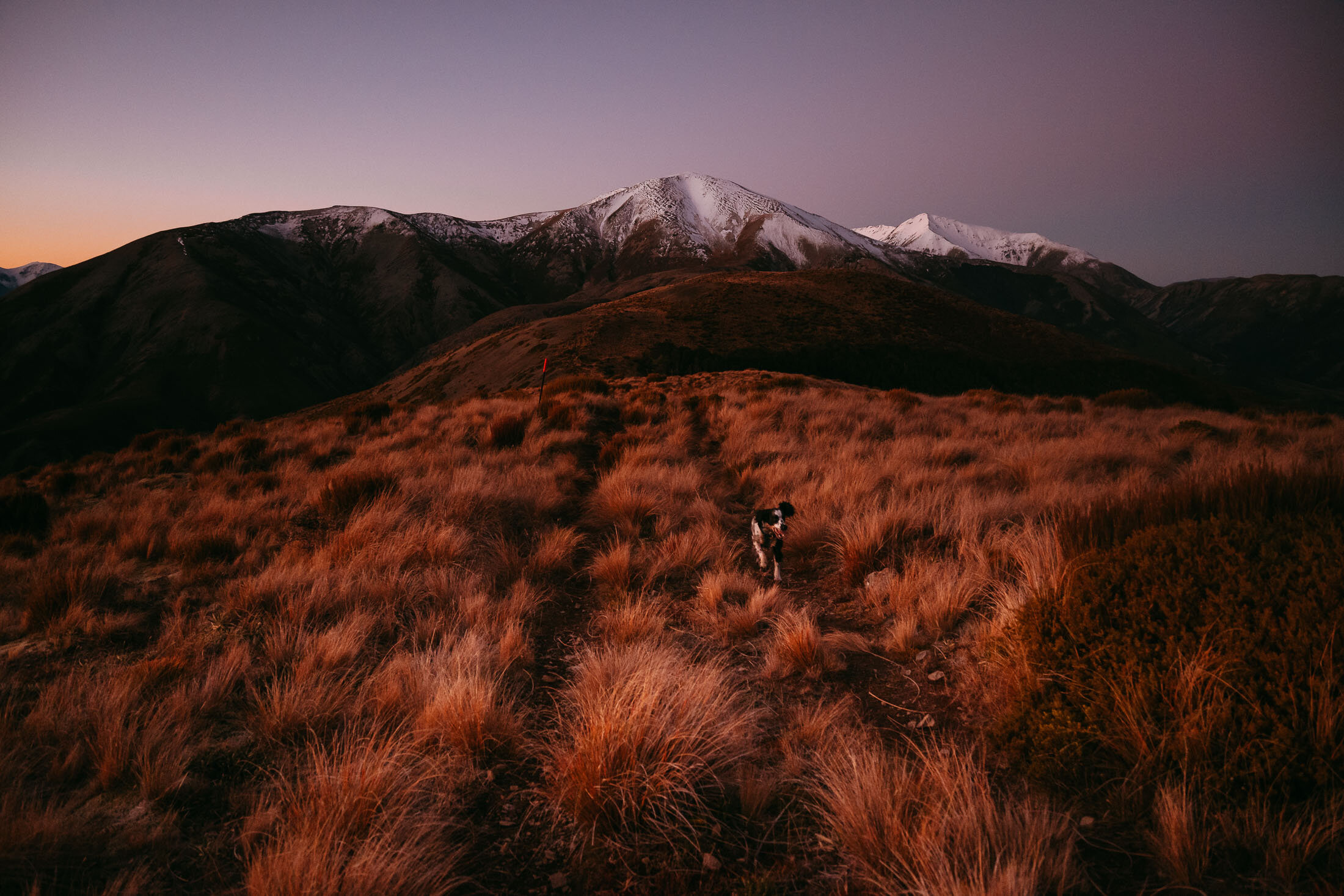
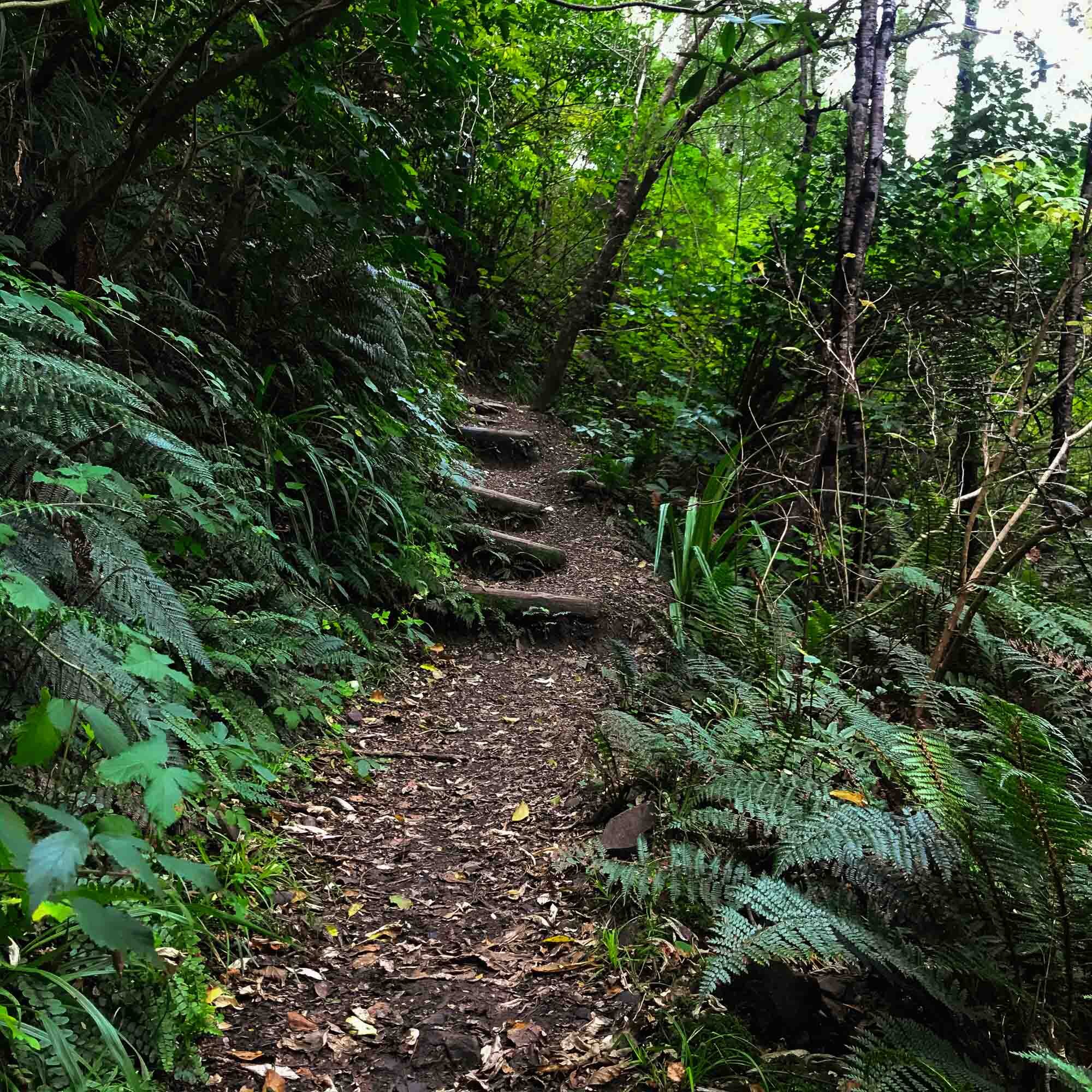
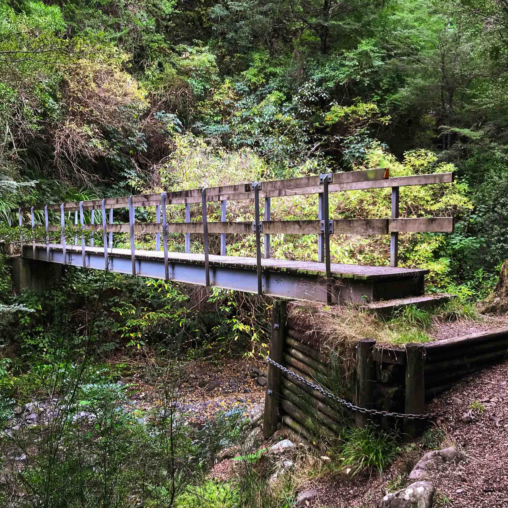
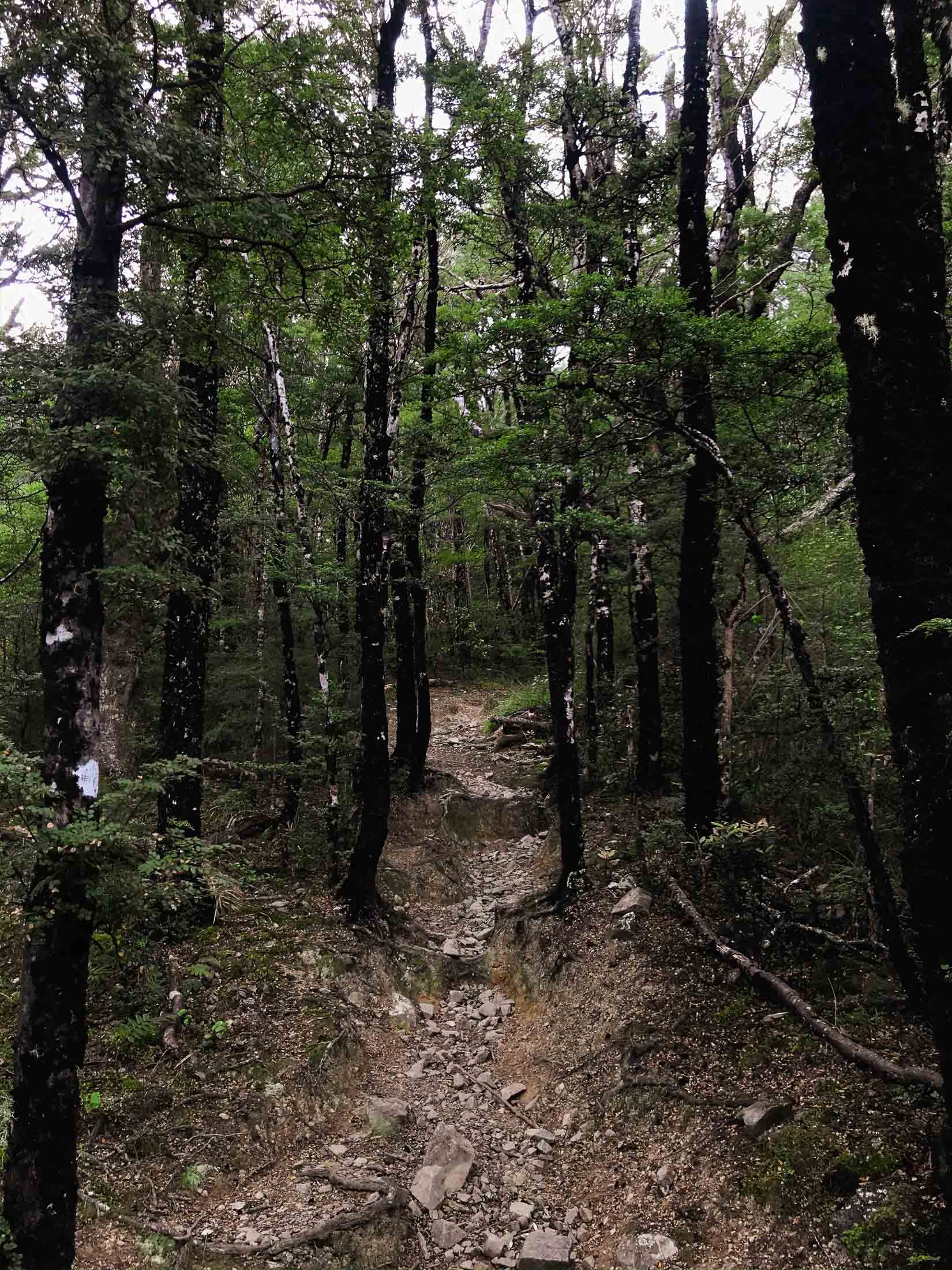
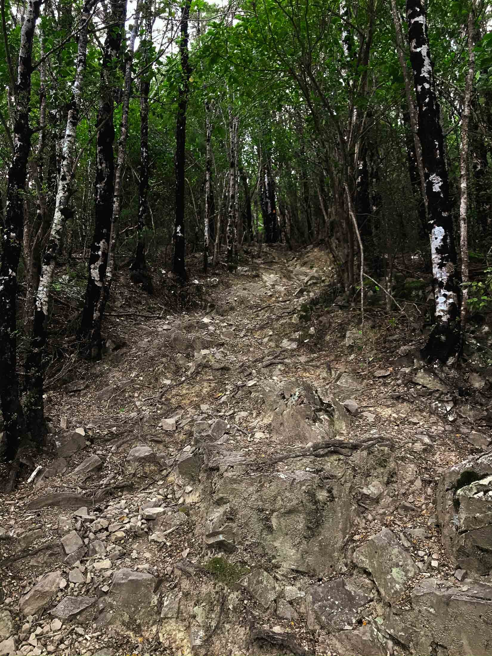
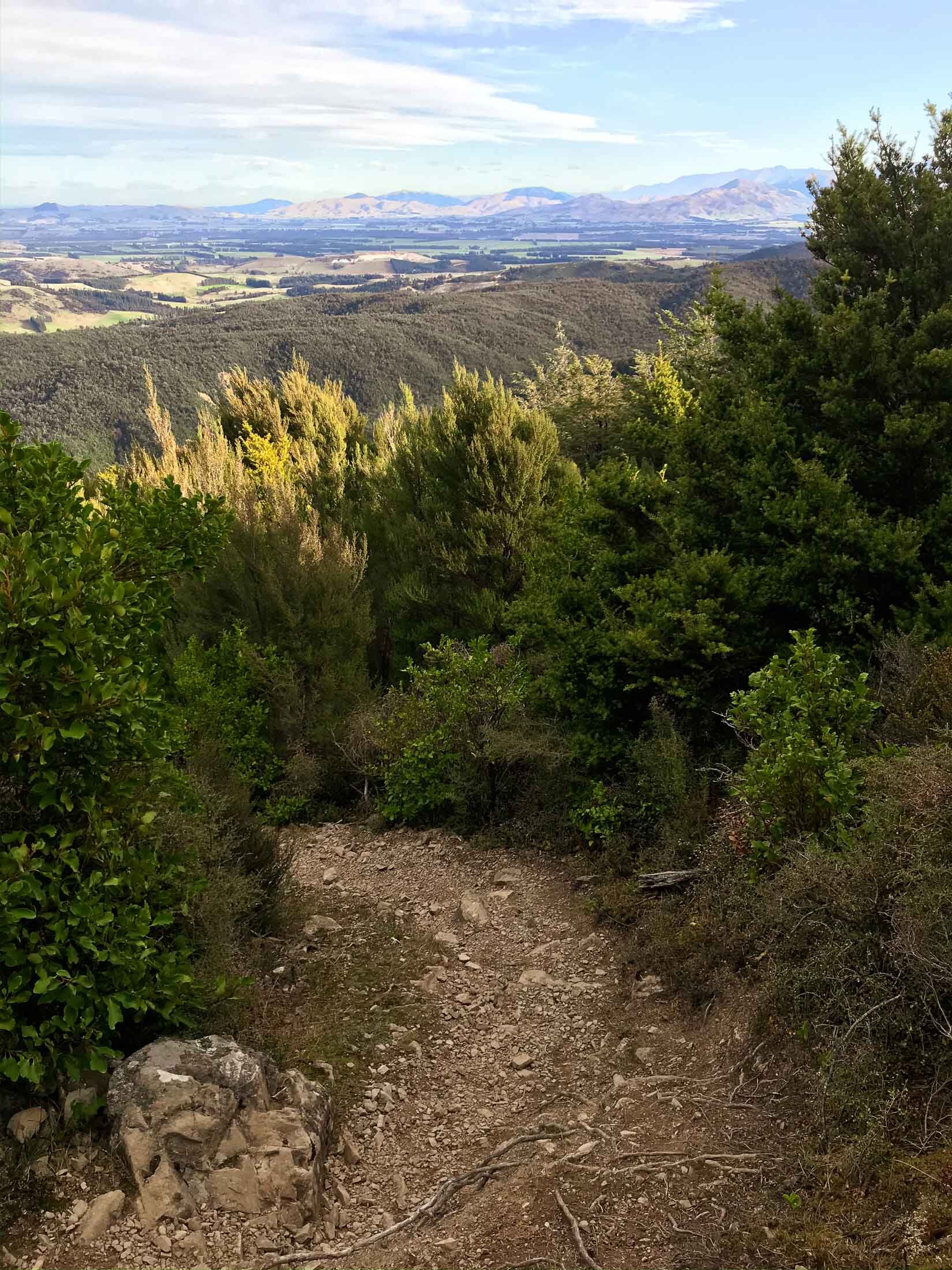
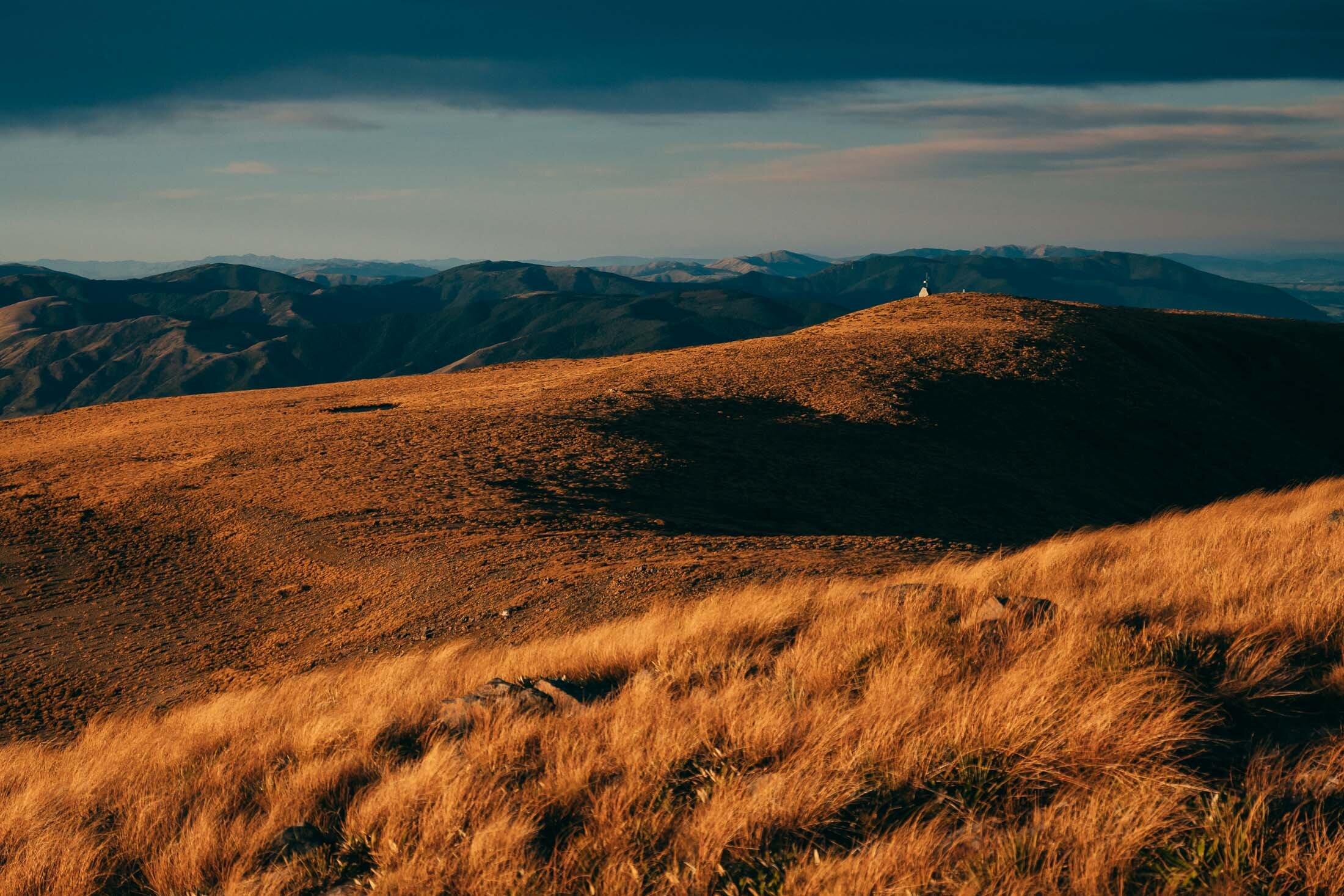
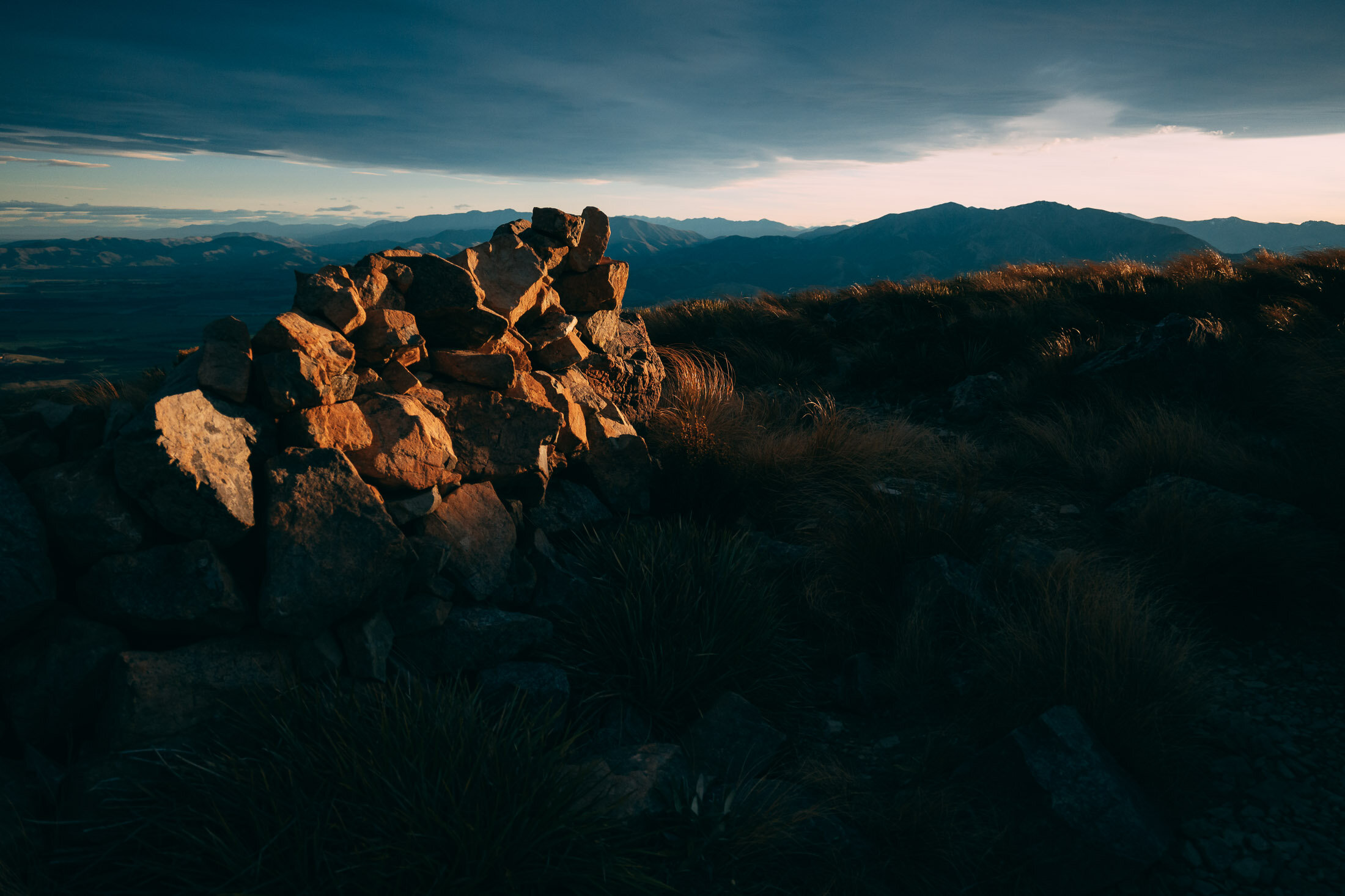
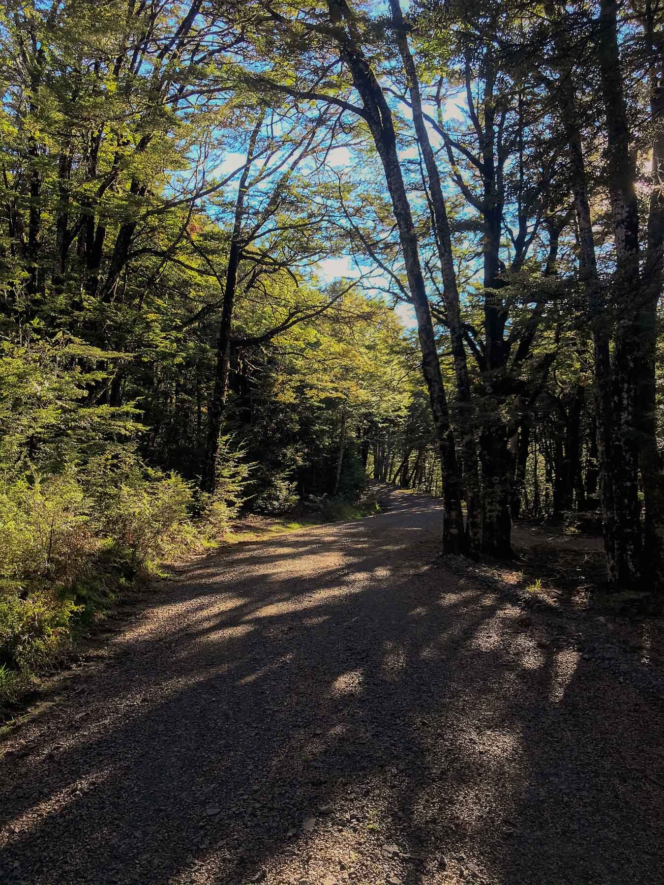
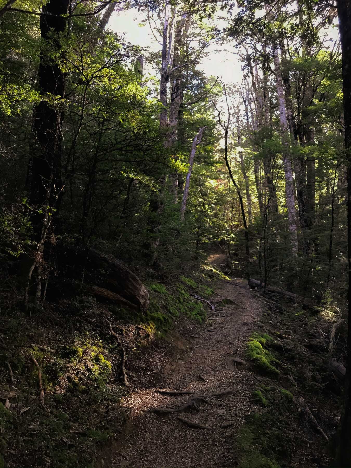
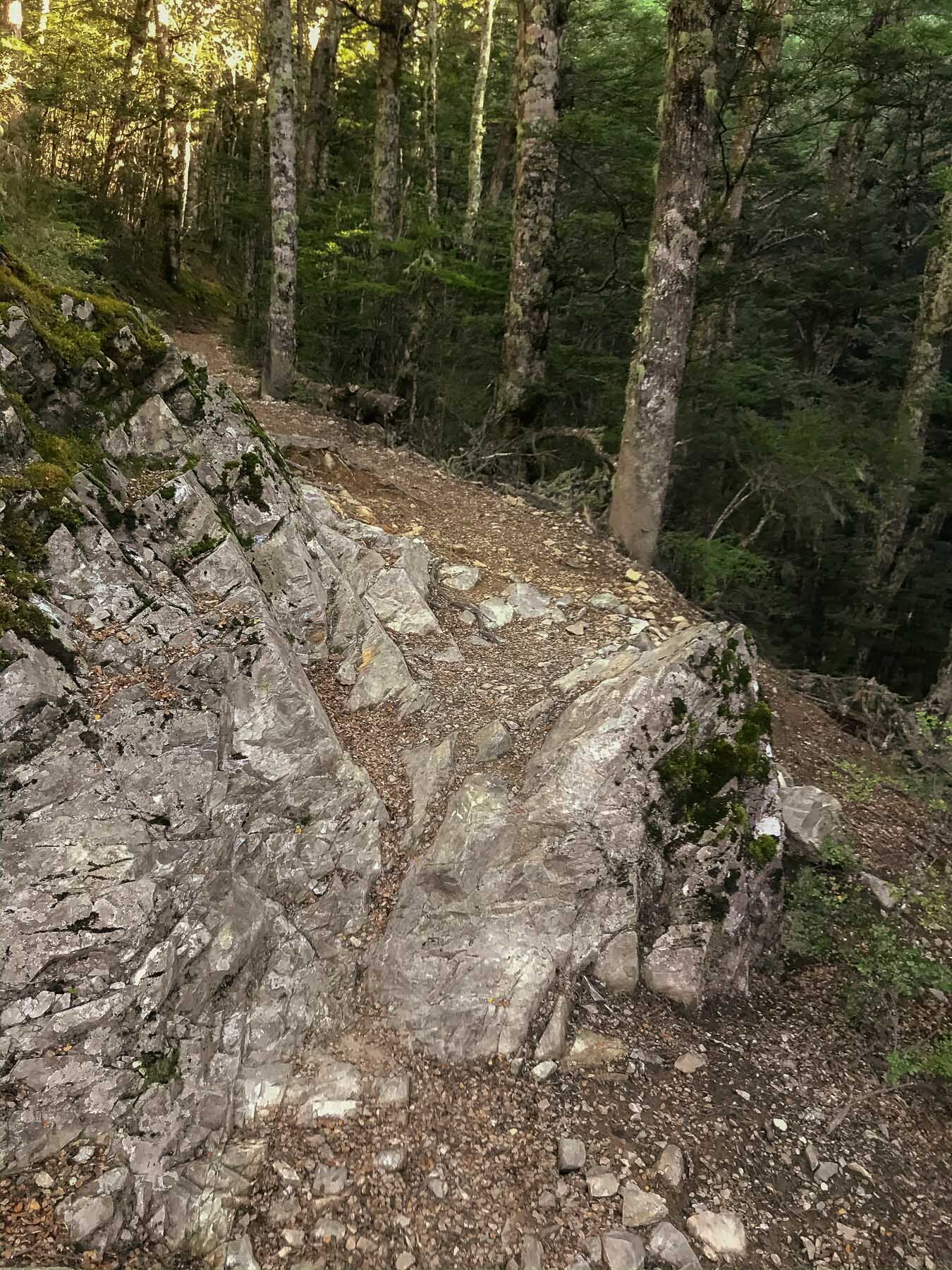
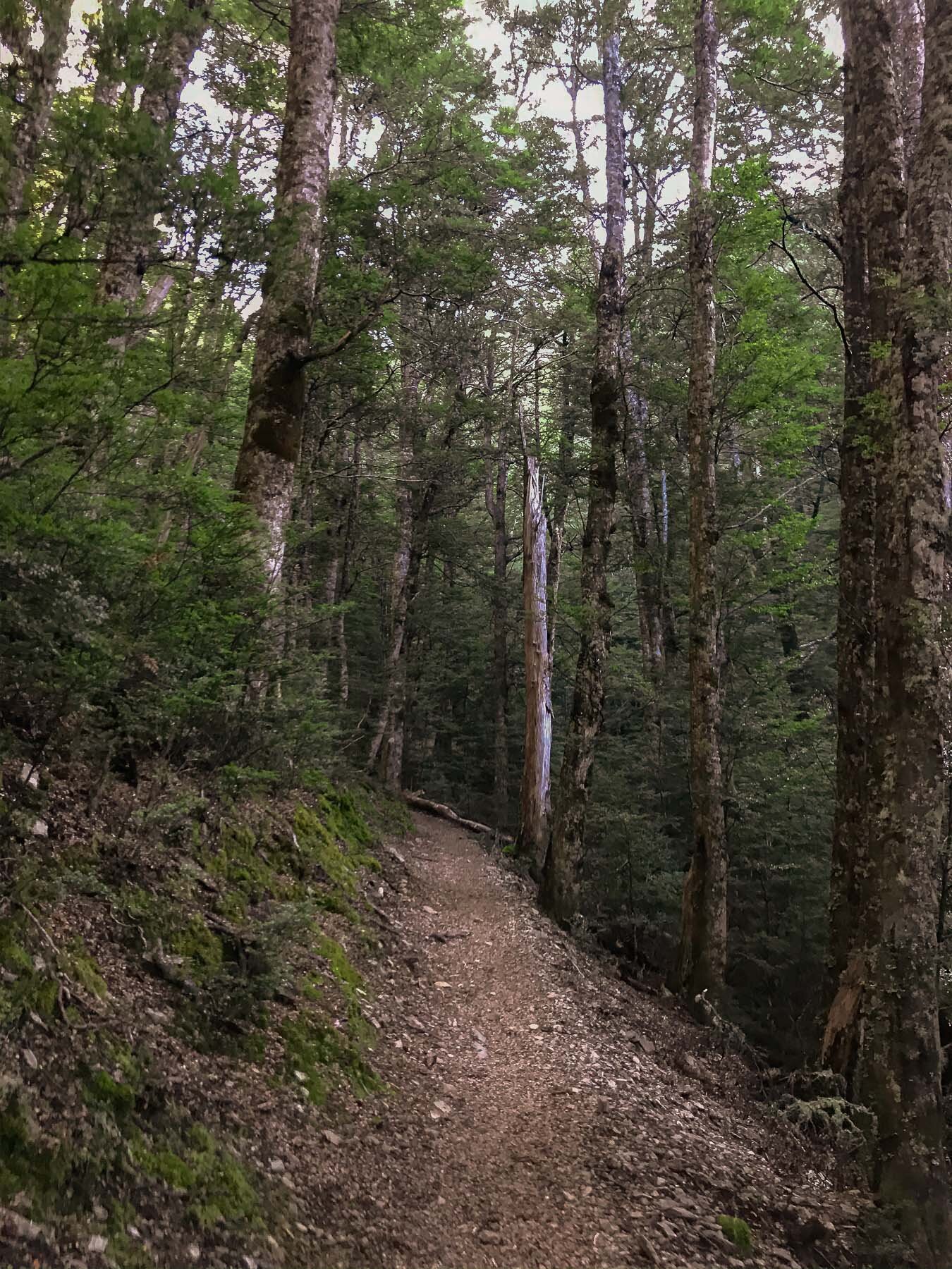
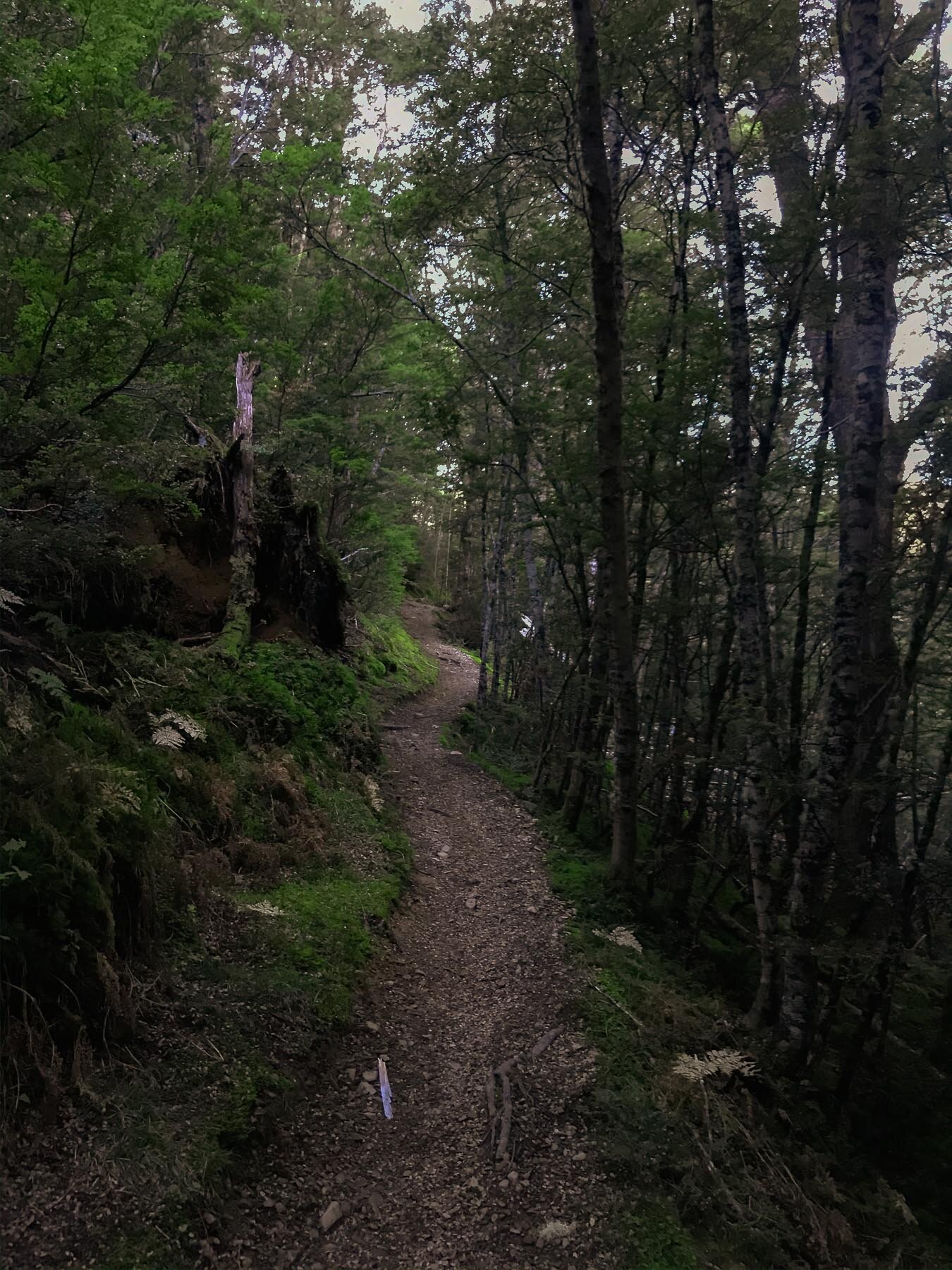
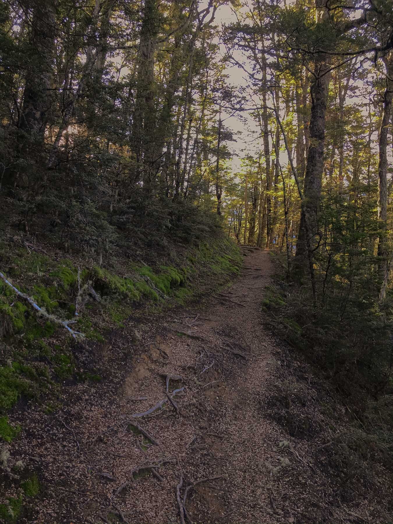
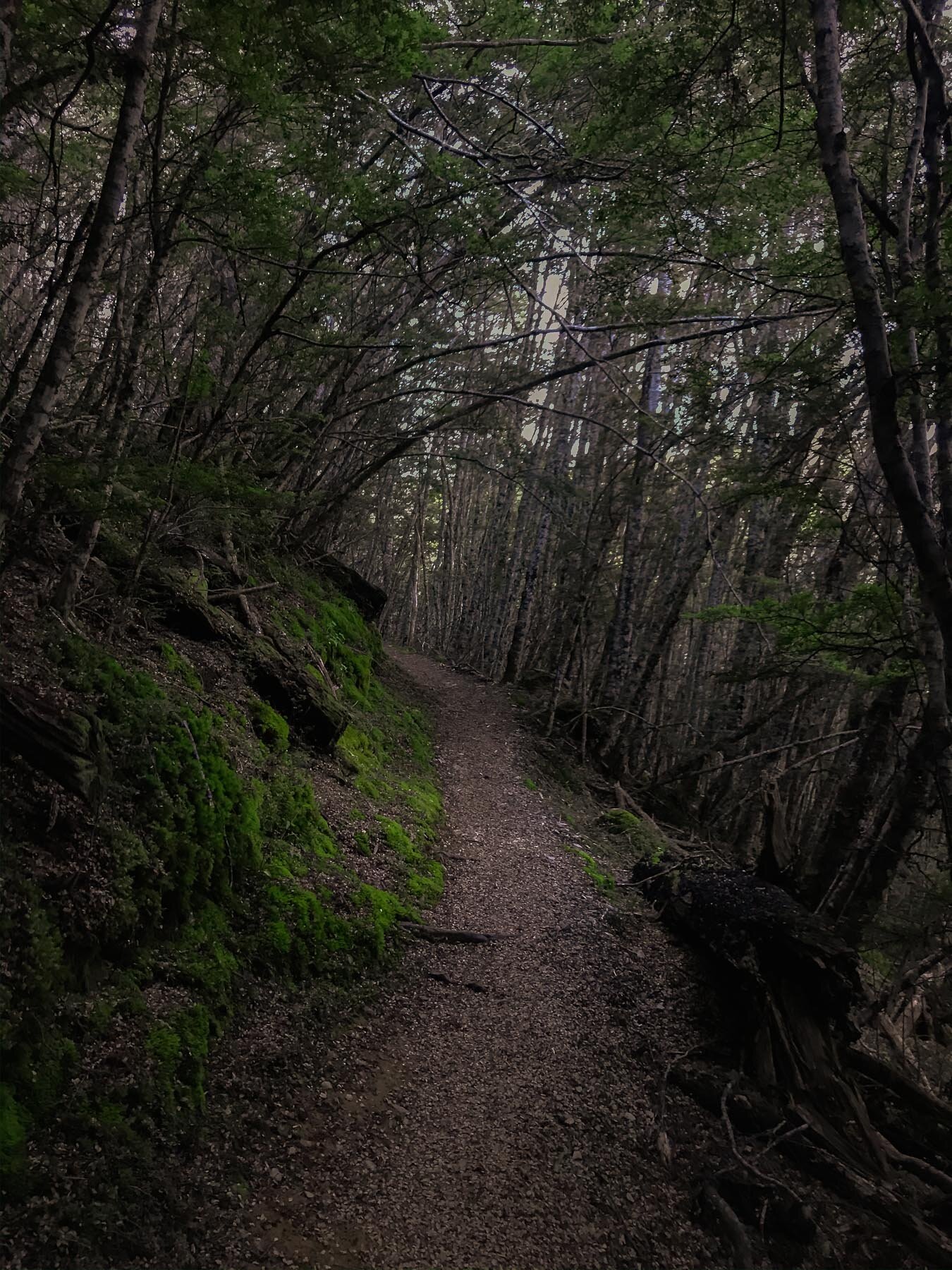
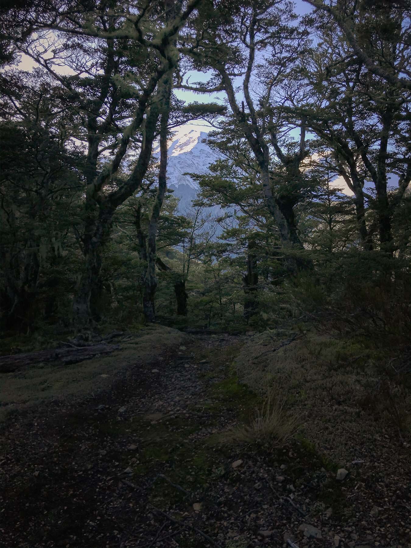
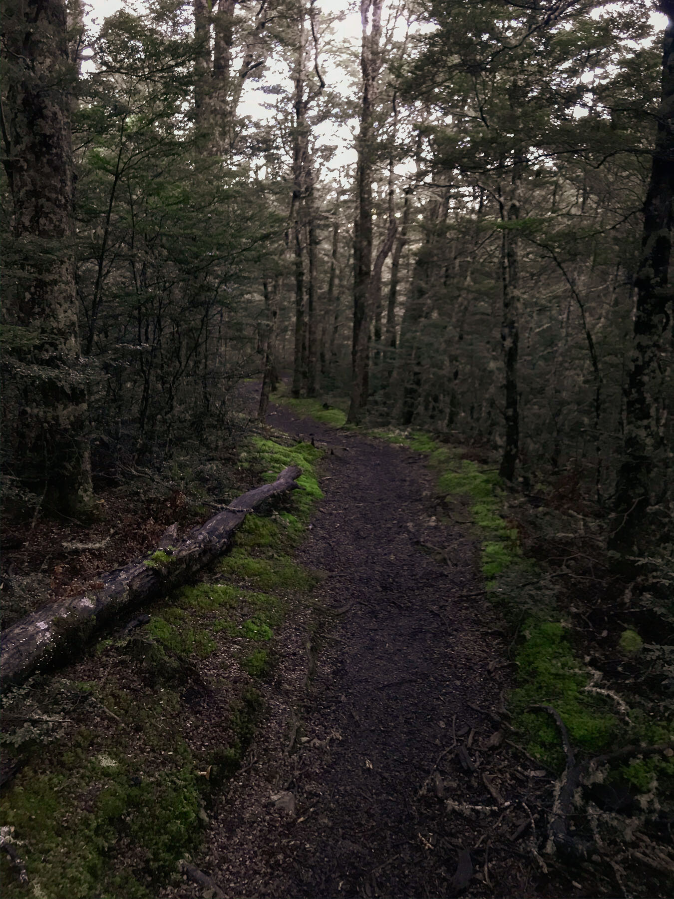
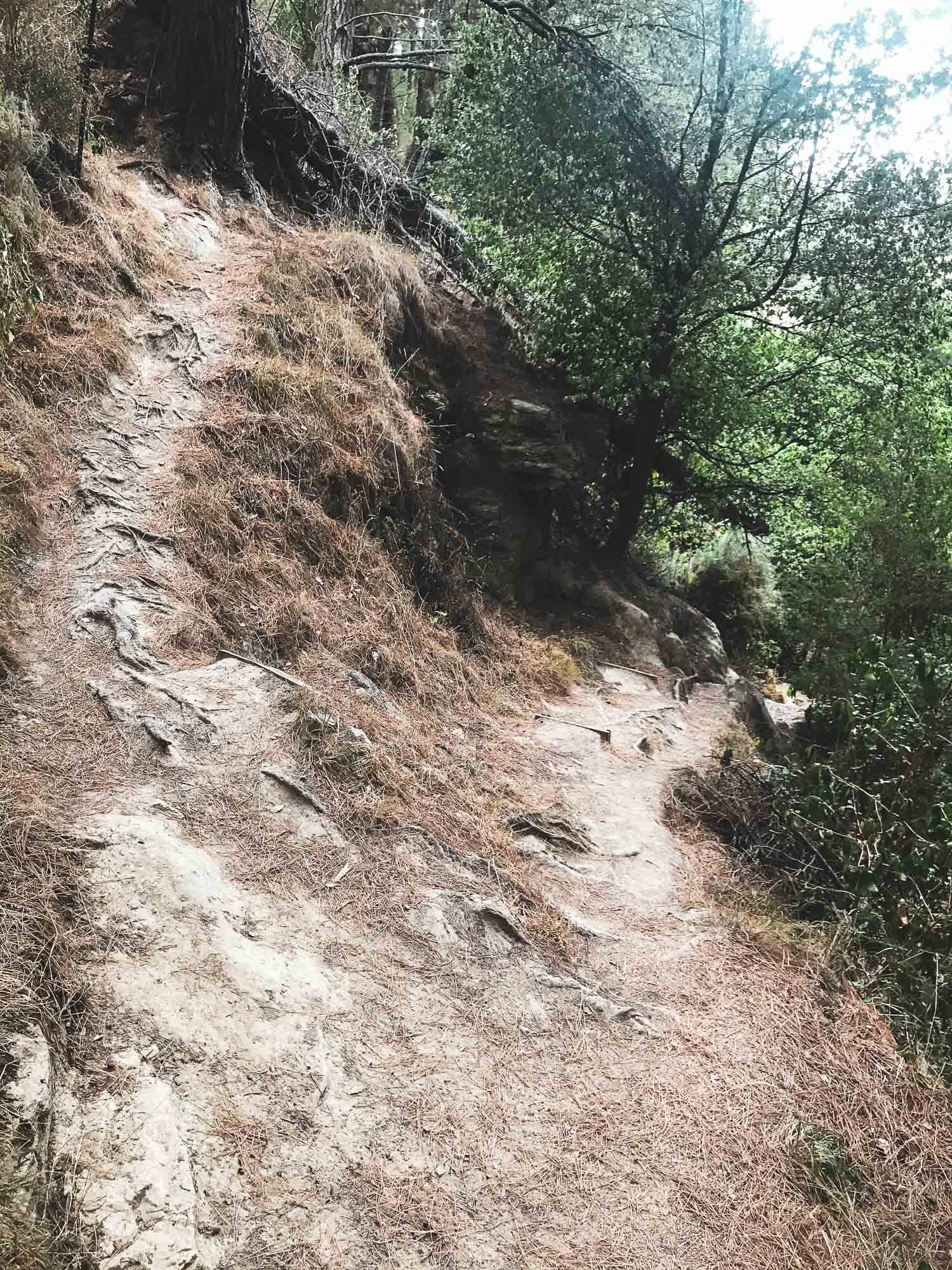
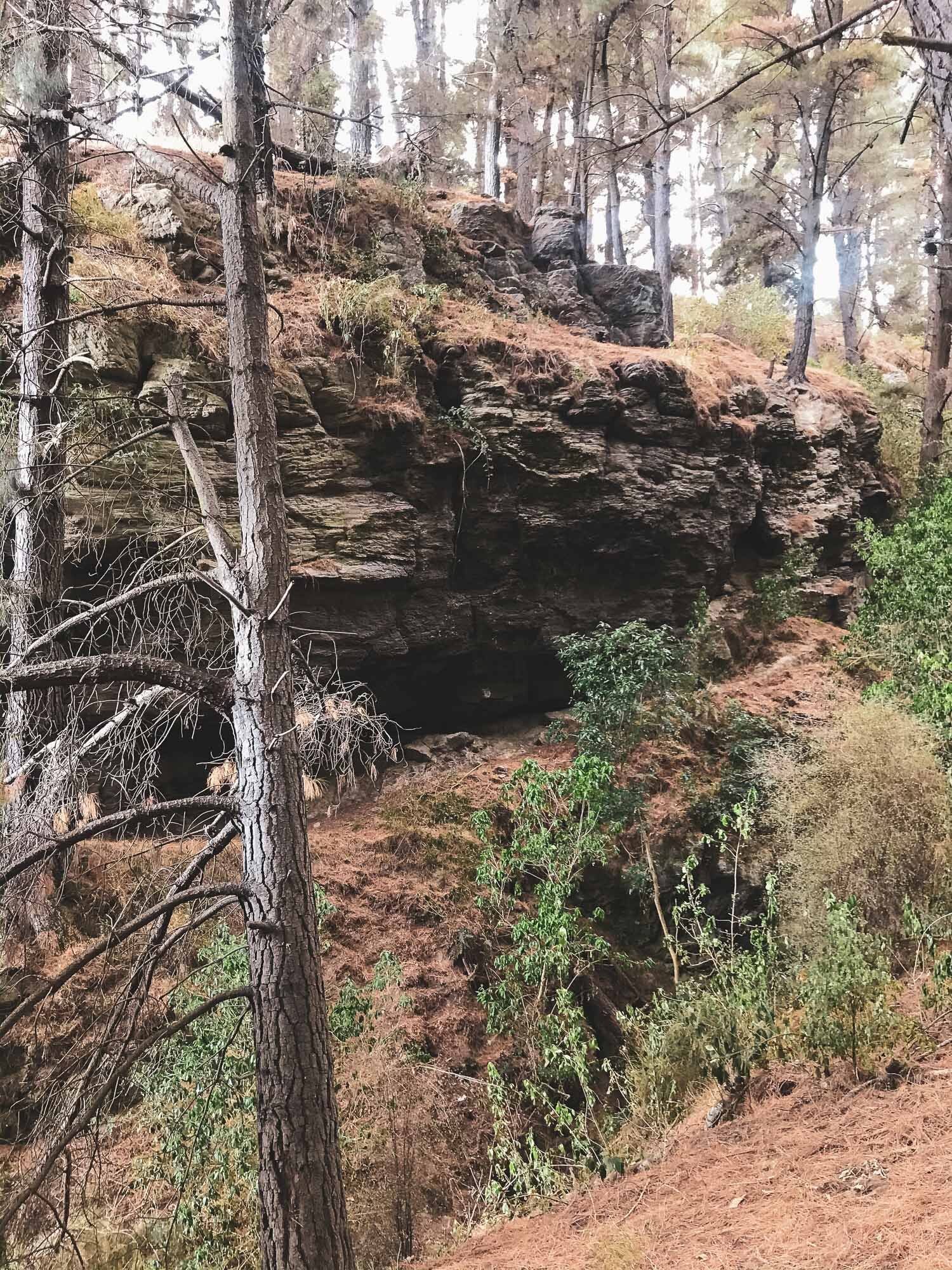
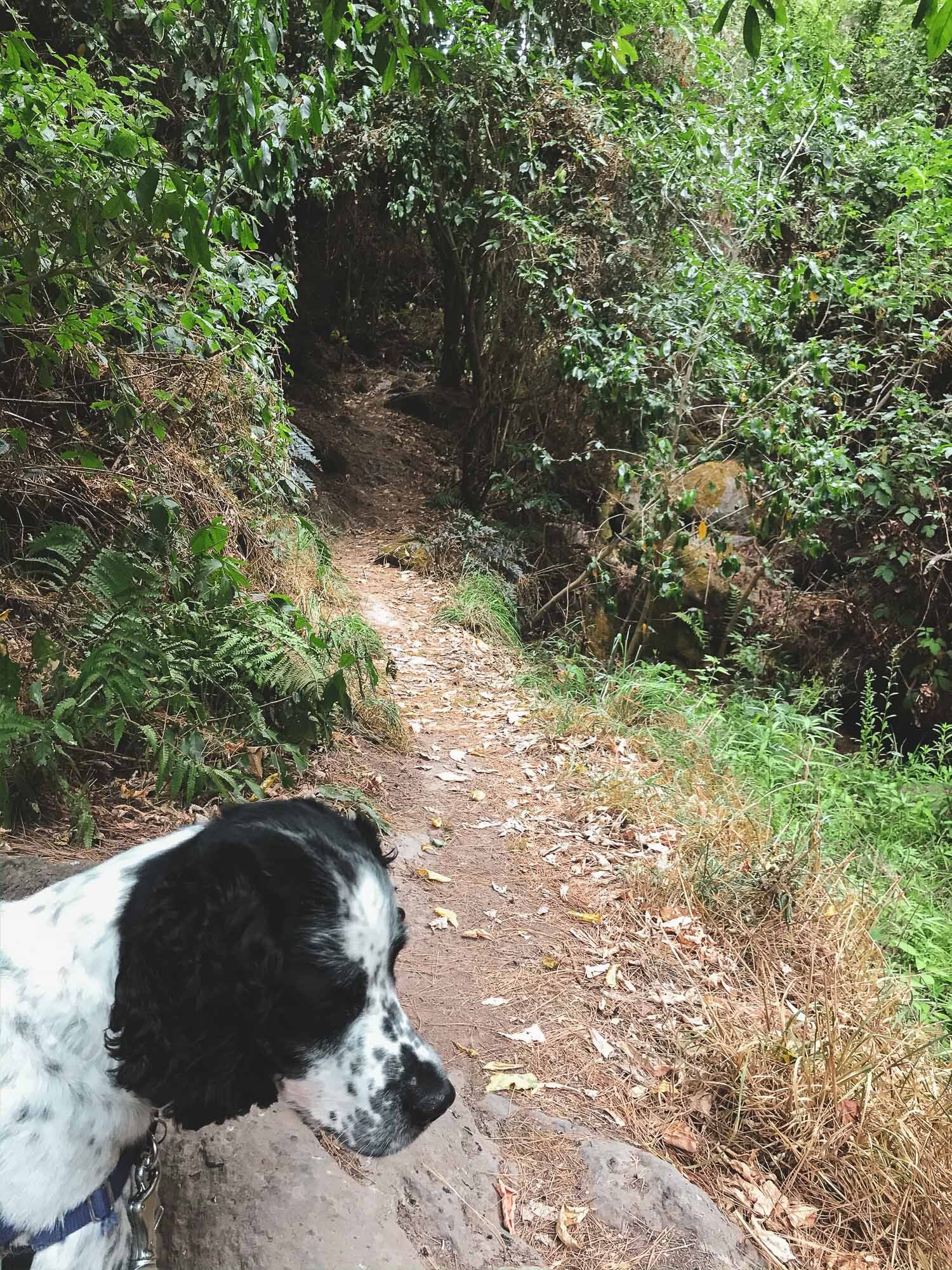
The weather wasn’t great - but we wanted to go for a walk anyway. It was meant to clear, and North was looking better at this stage than South, so we went for it. Anyway, it’s nicer to take photos in the bush when it’s cloudy. Having been here before, when Charlie was a pup, I knew what to expect. Very cool set of three waterfalls.
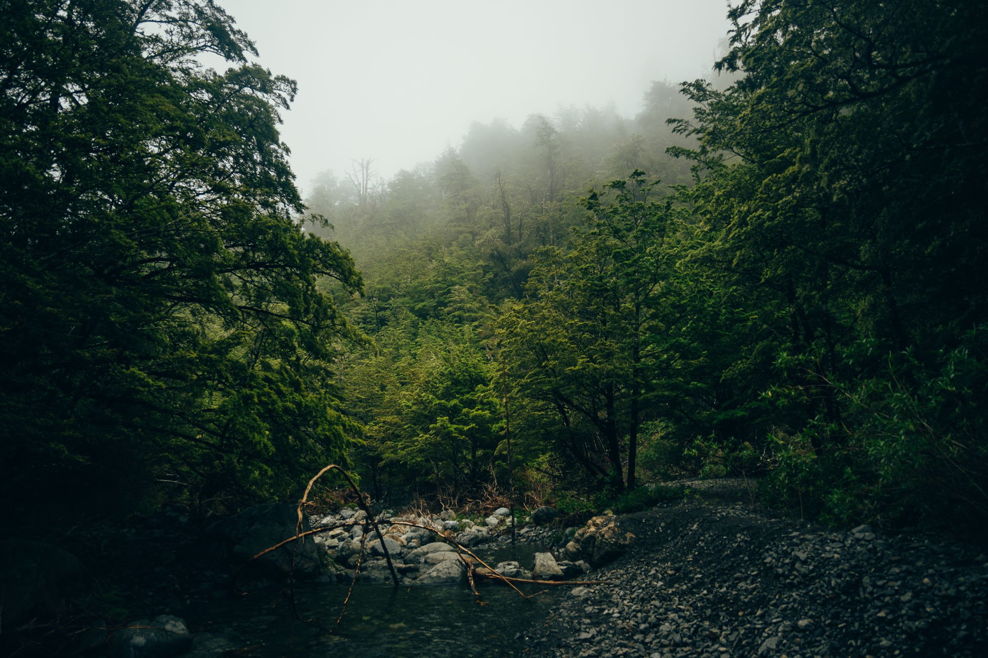
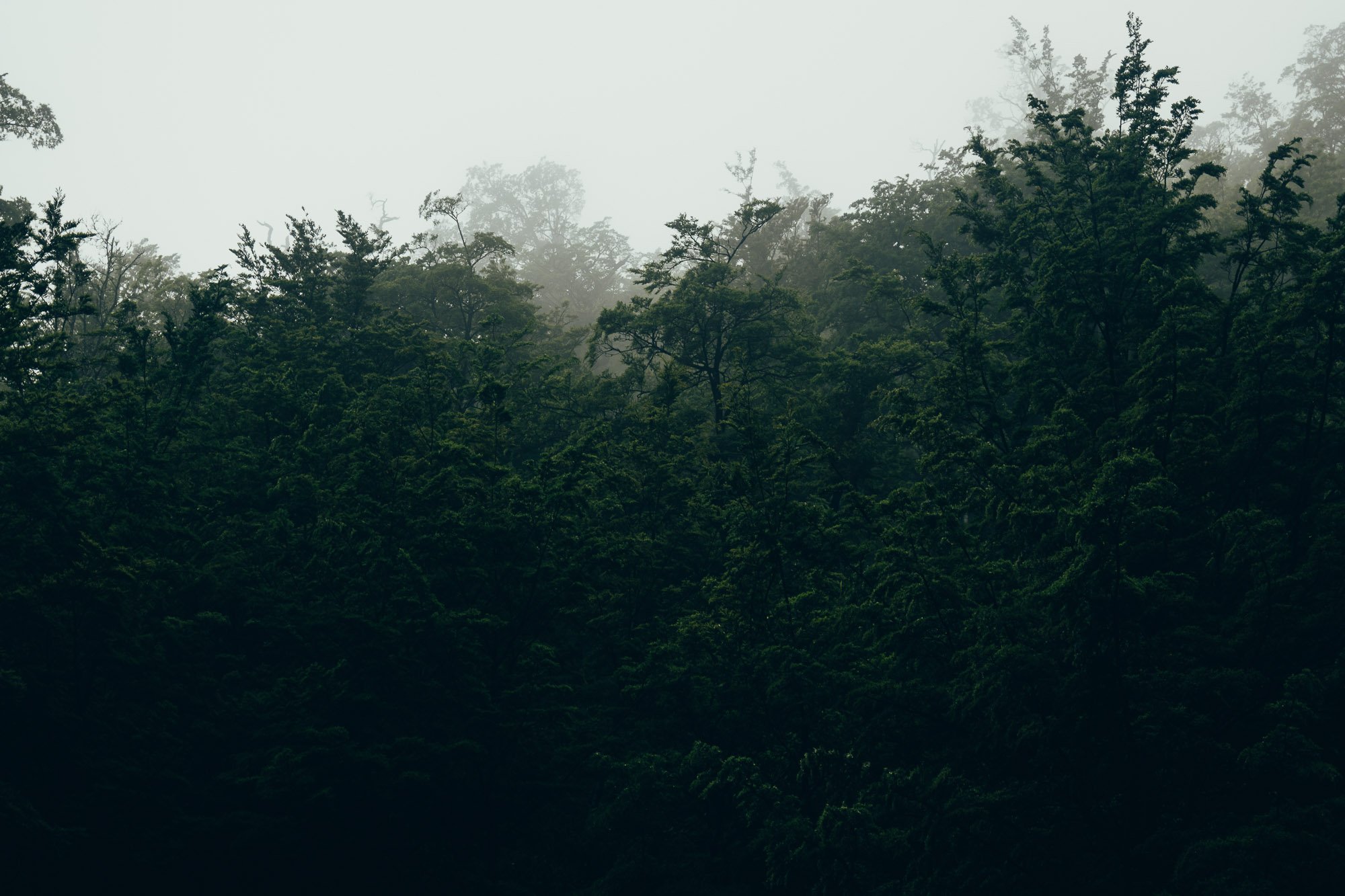
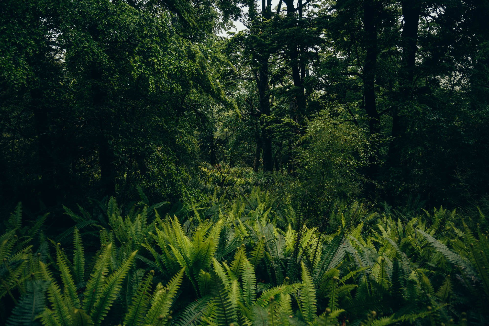
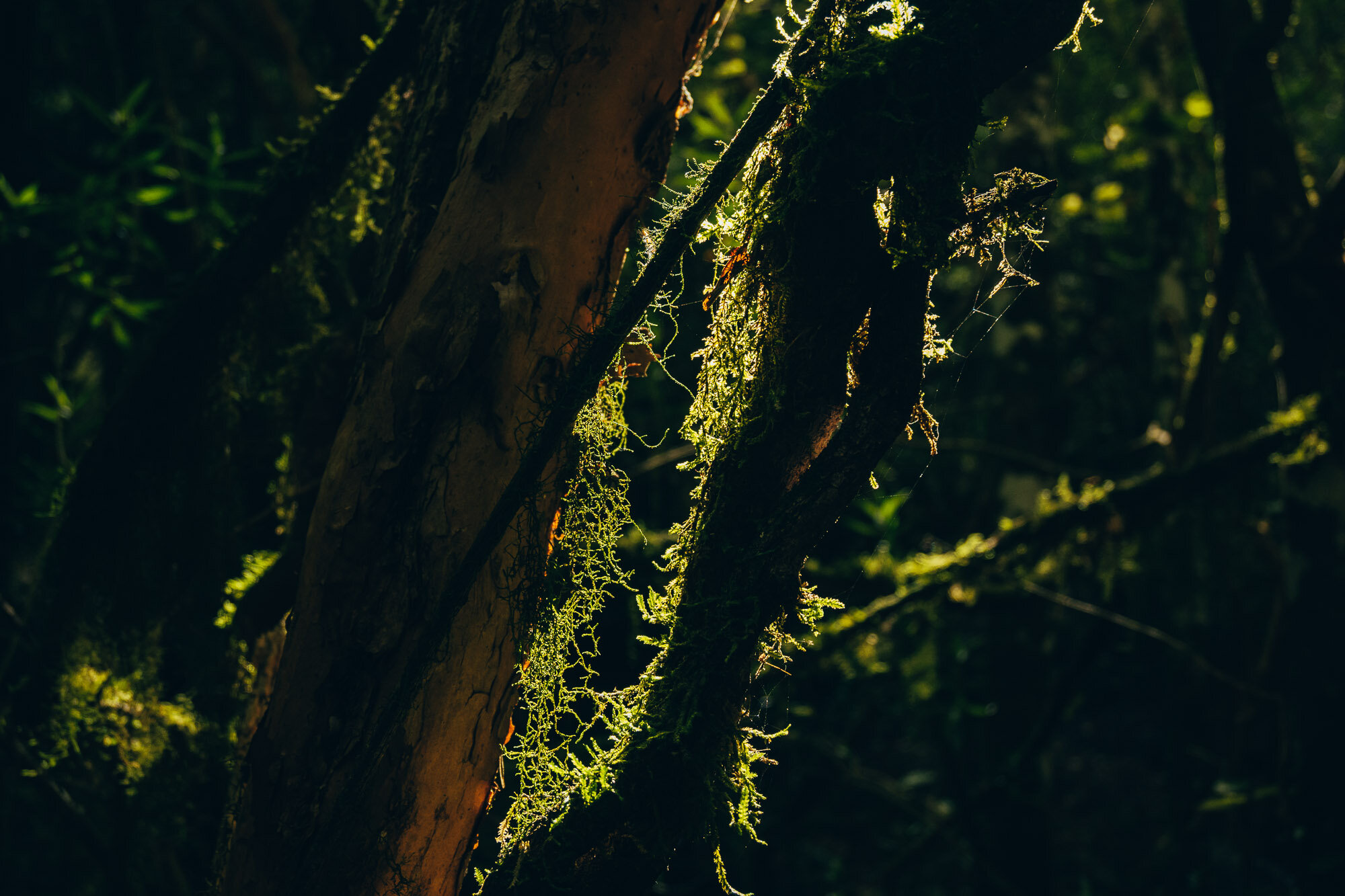
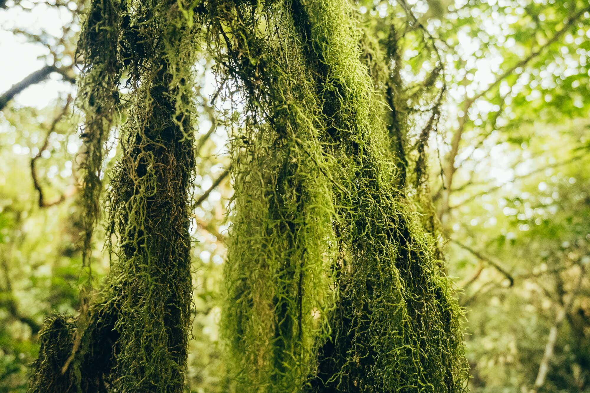
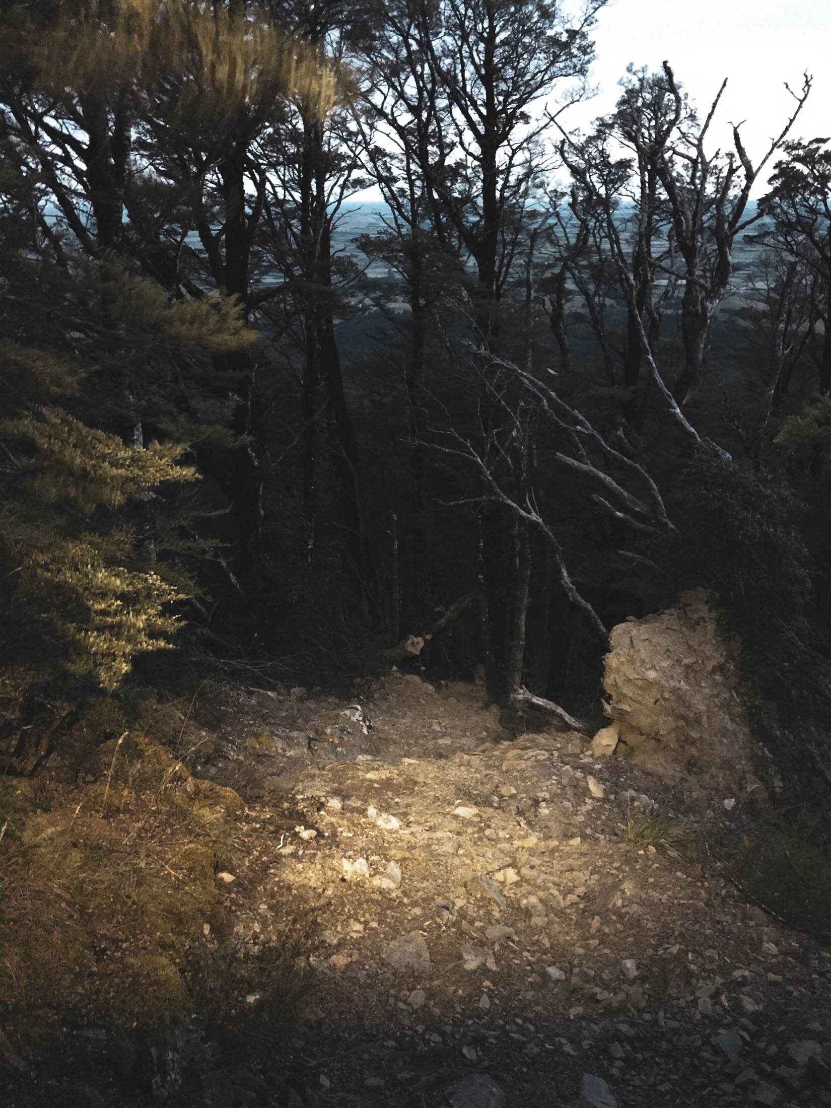
The low hanging mist made for super moody imagery, but it also made for very soggy trails and a lot of mud.
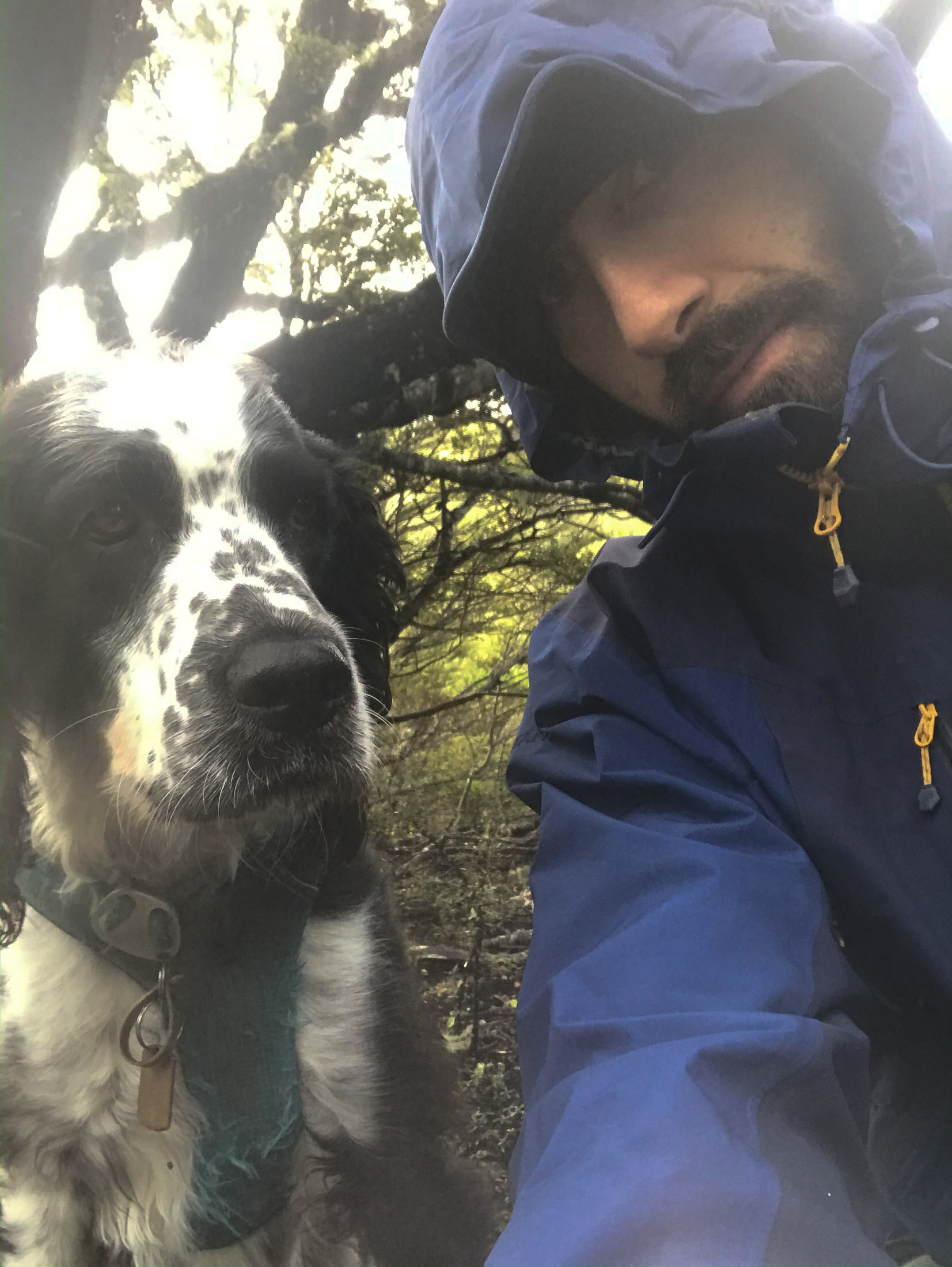
We spent a bit of time getting some long exposure shots of the waterfall, and at one stage Charlie pulled me into the river as he was tied to my waist and wanted to jump off the rocks. Not a highlight. Very wet after that.
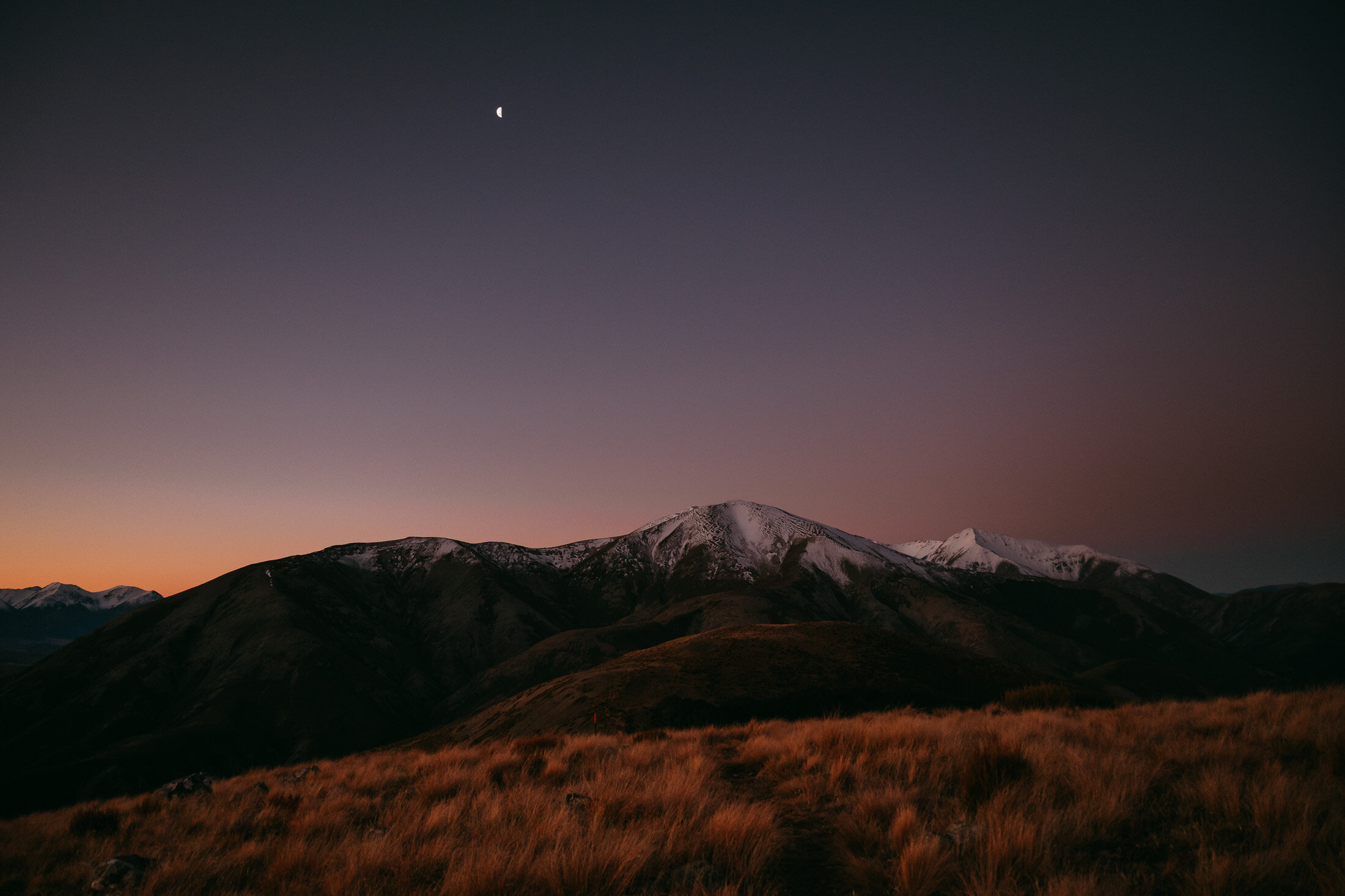
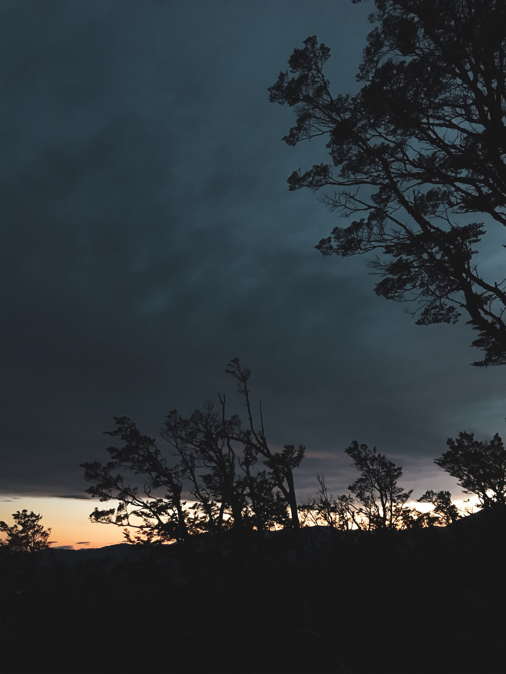
Anyway, the low clouds didn’t lift until just at the end - then, like magic, as we approached the car, they all just disappeared. That was quite strange.
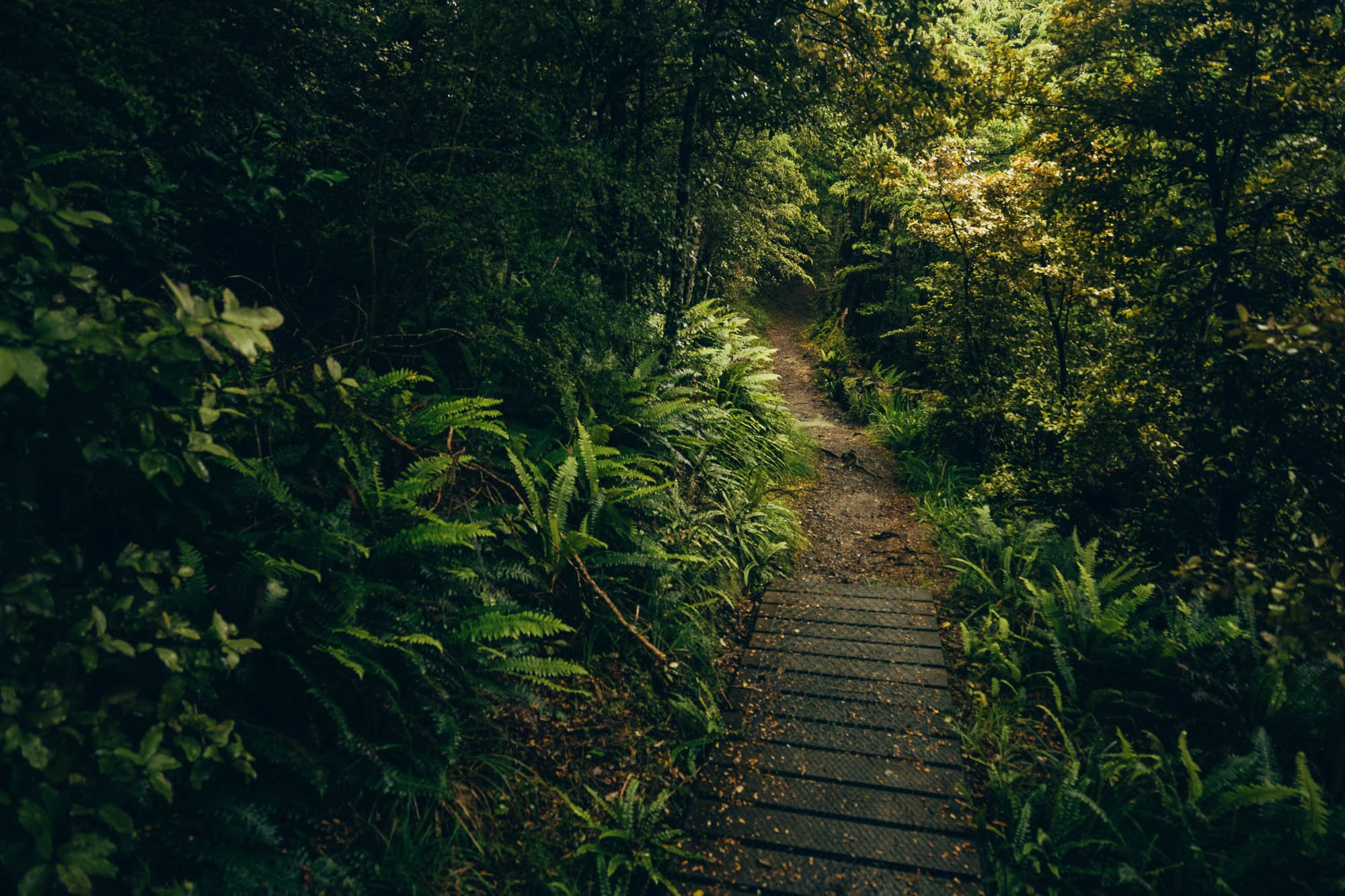
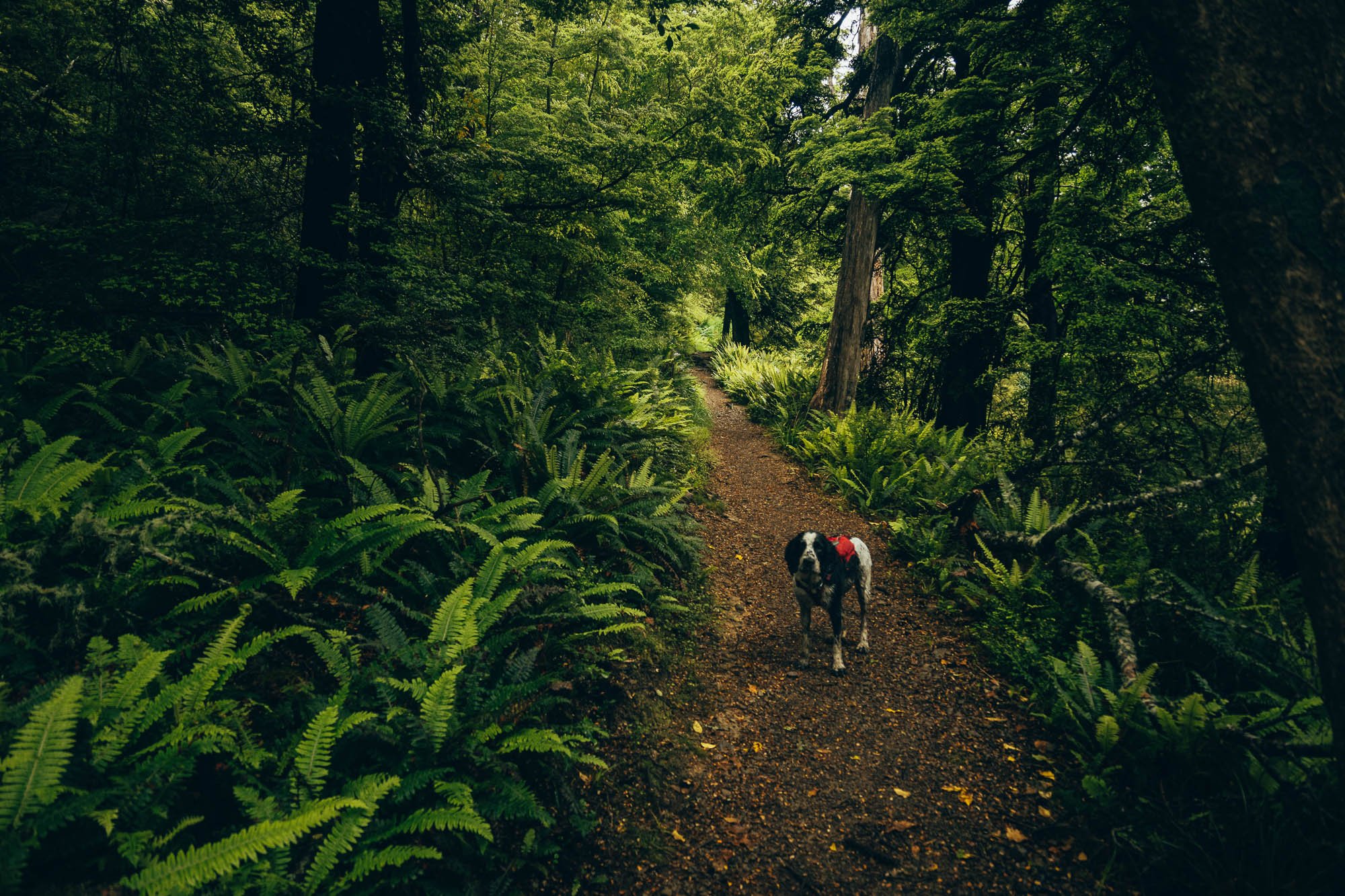
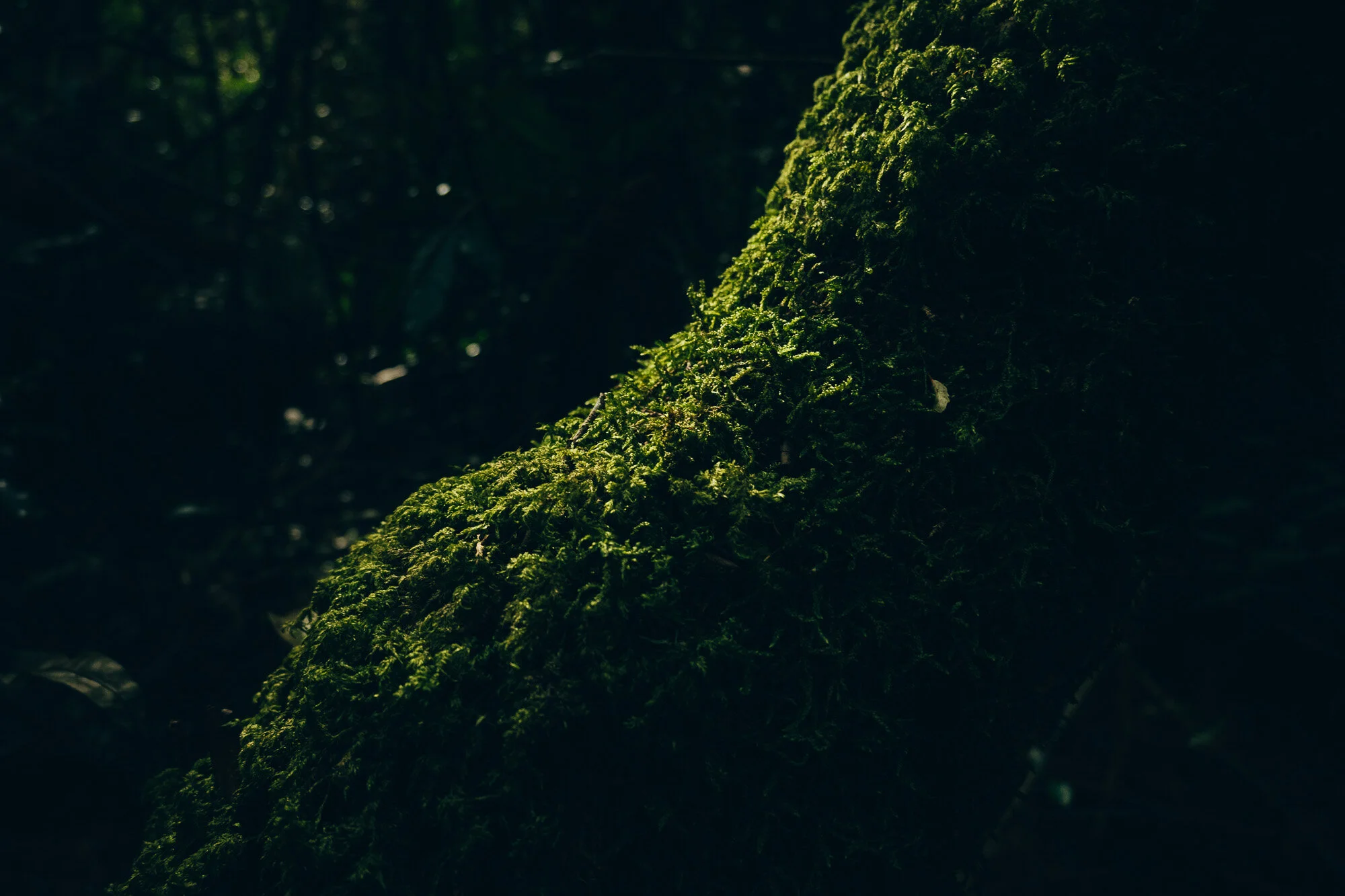
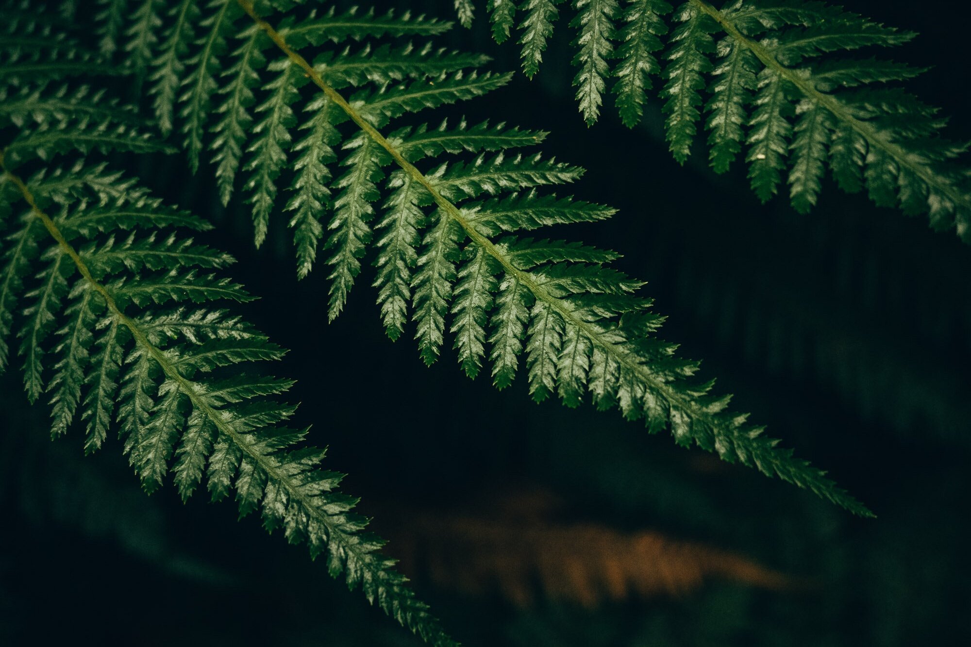
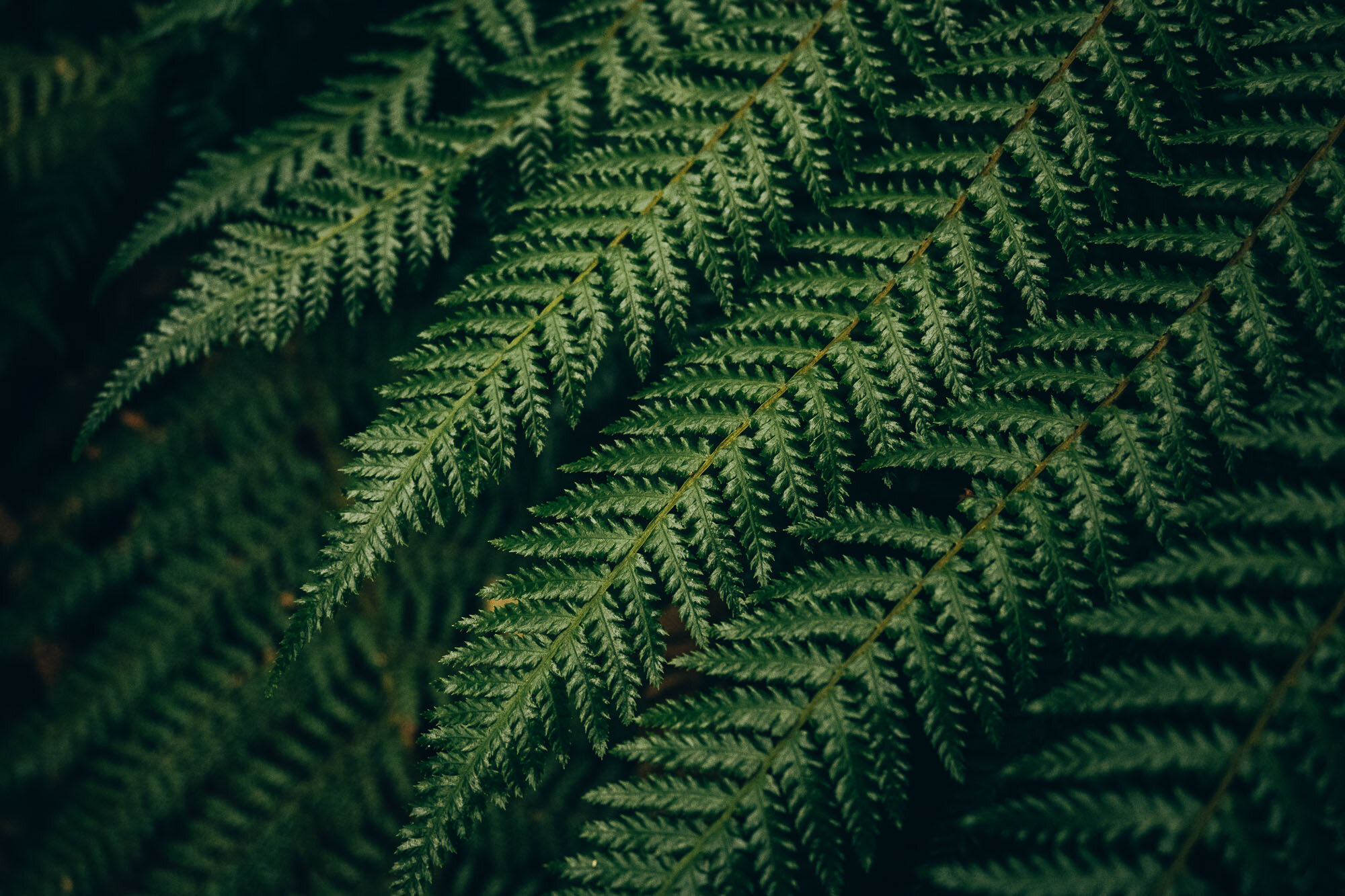
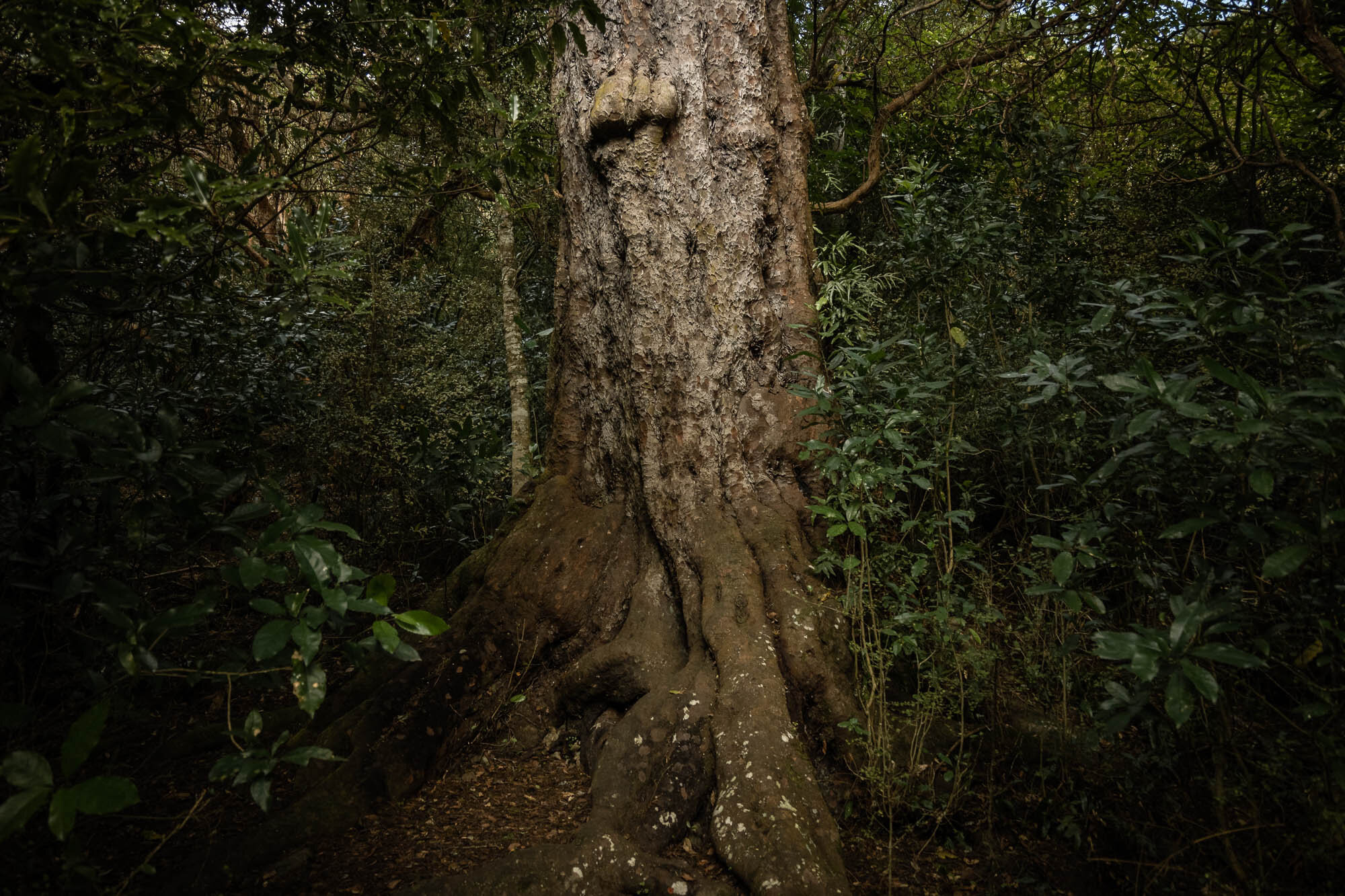
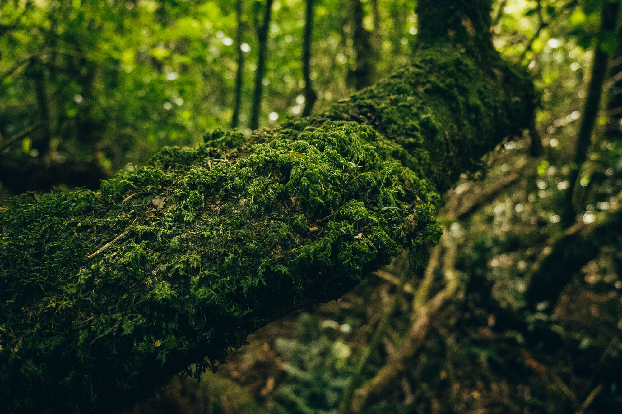
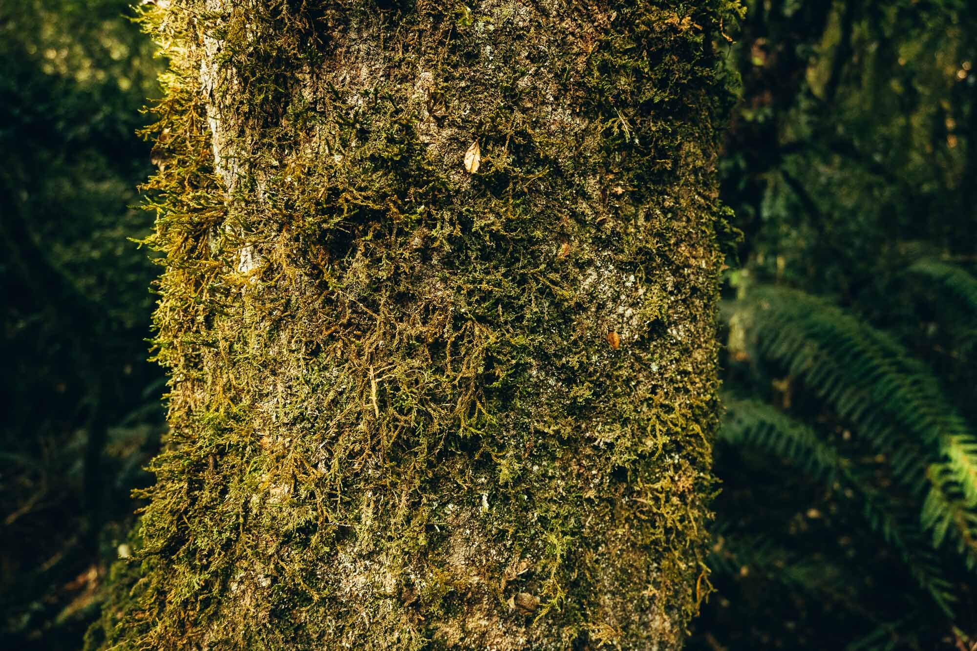
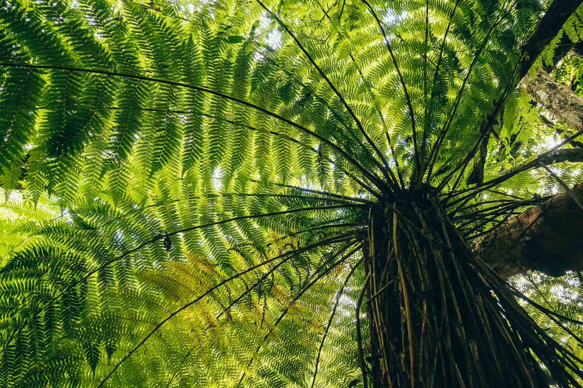
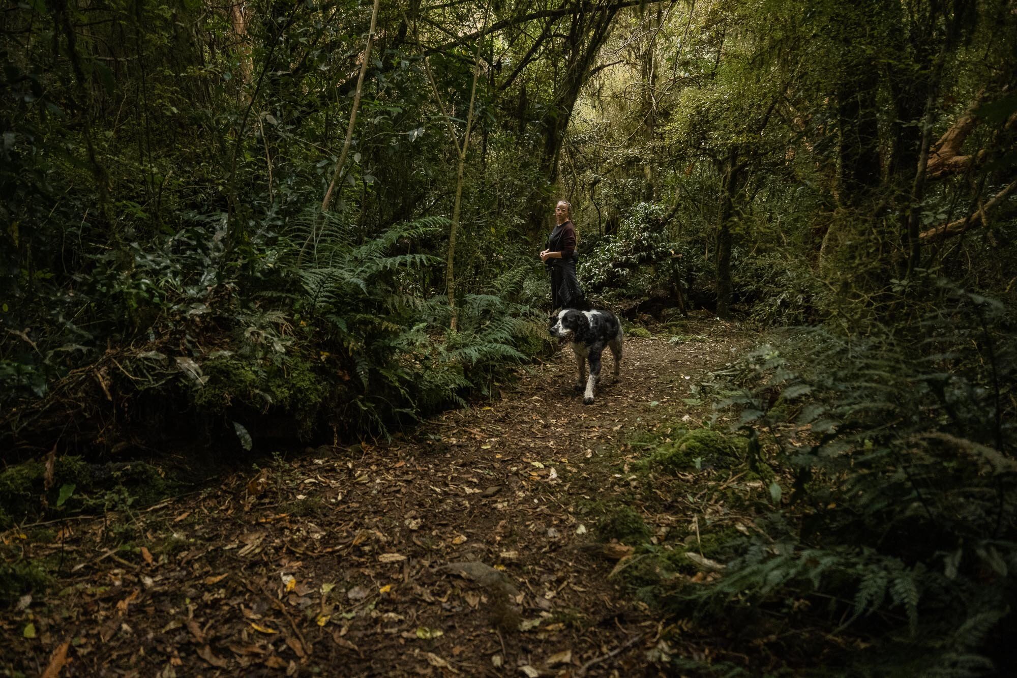
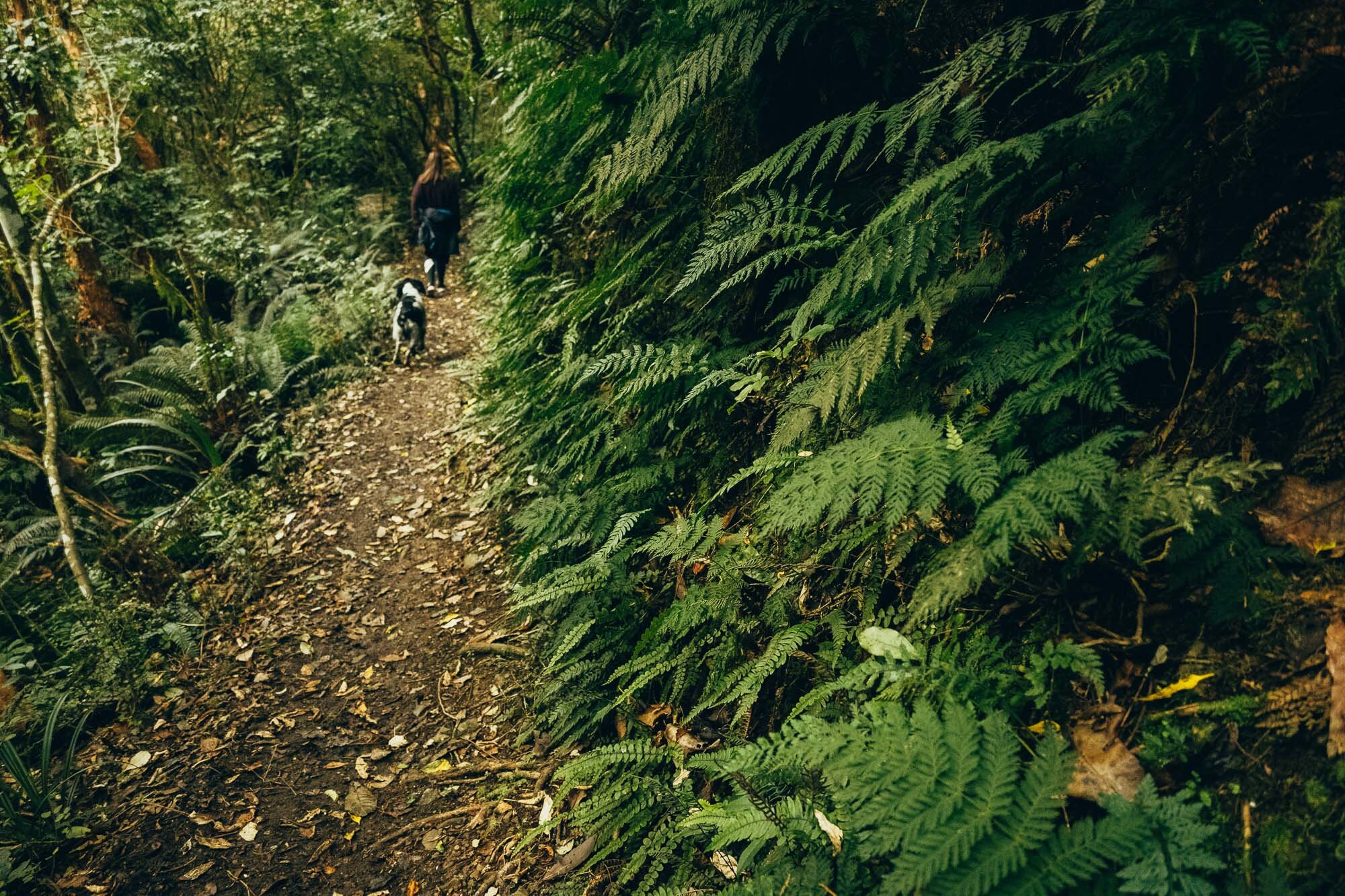
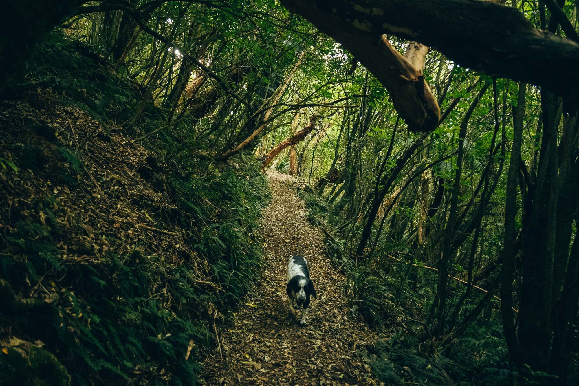
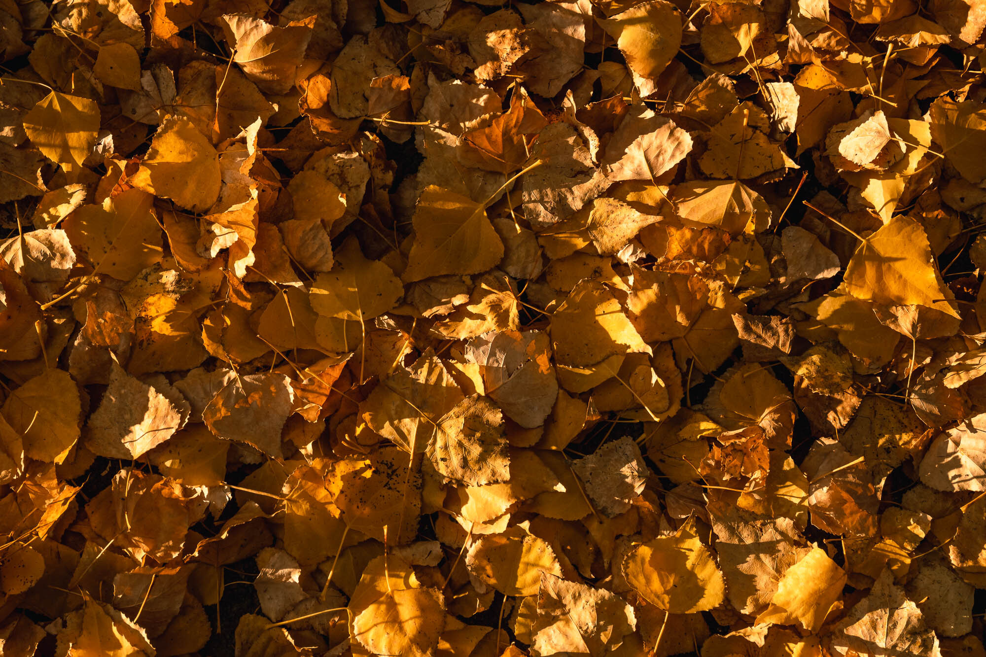
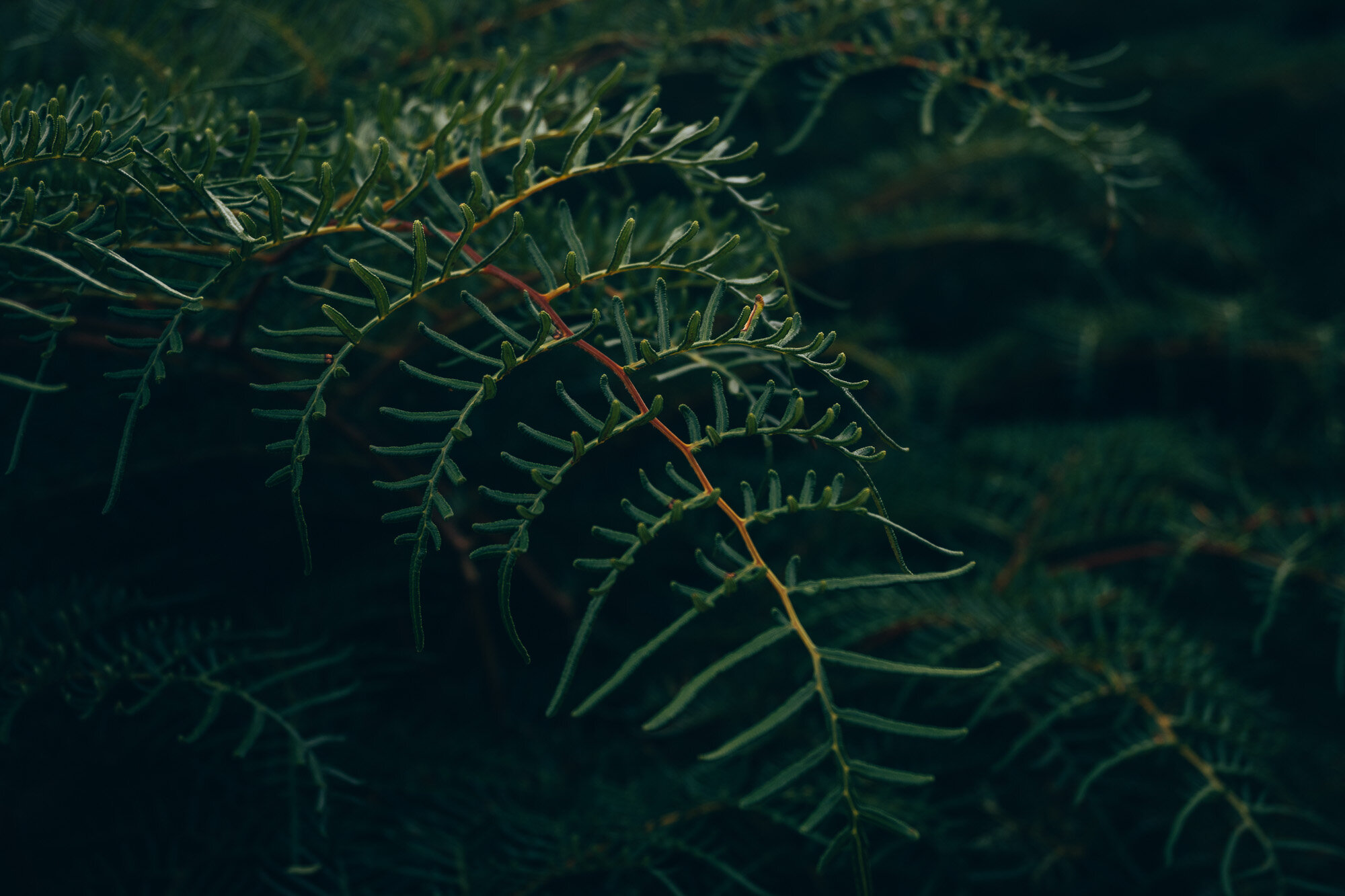
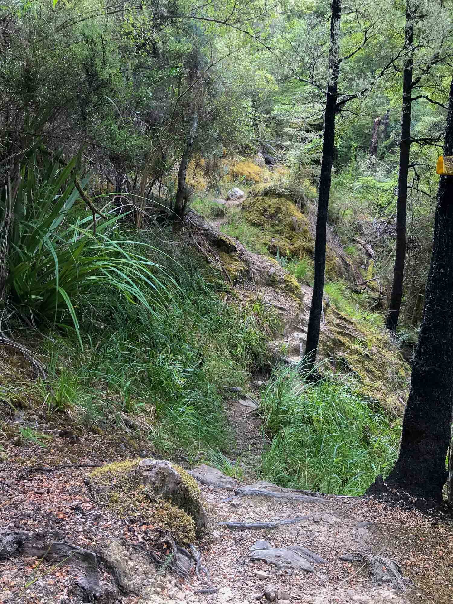
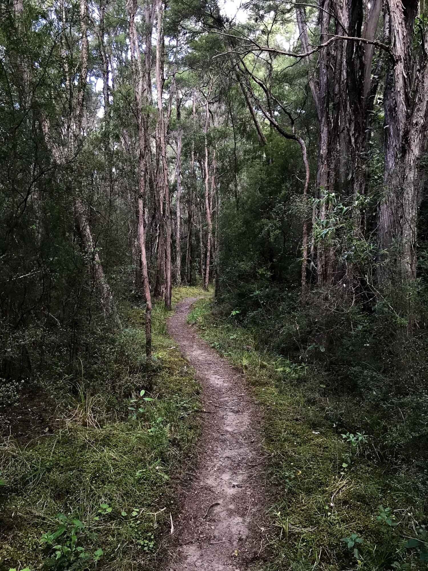
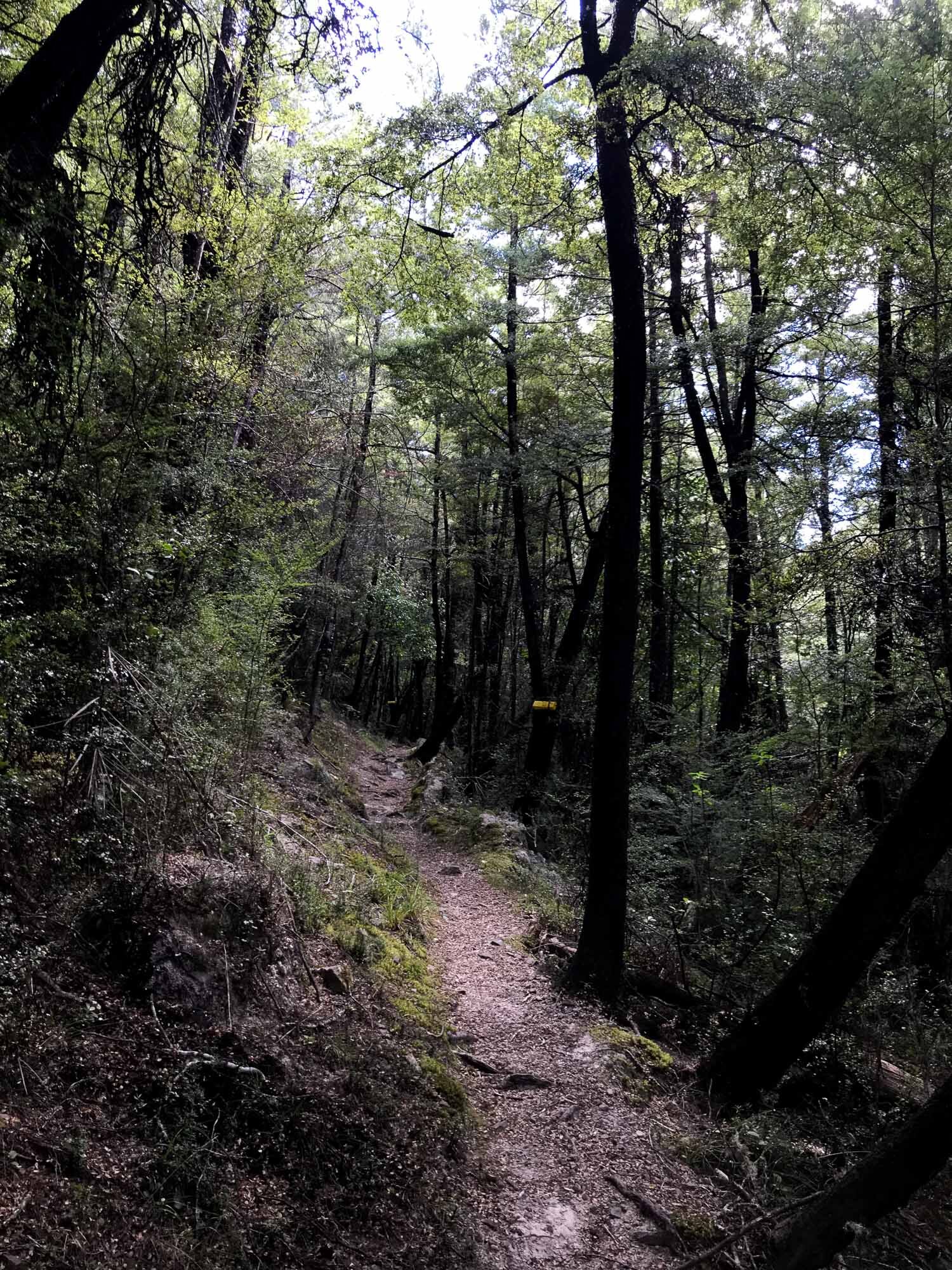
Given that, there is a lot of moody bush walk imagery here - like a lot.
So get ready to enjoy a whole lot of green room. Seriously, a lot. It’s lush.
All shot on Nikon Z50.

Cannot help myself.


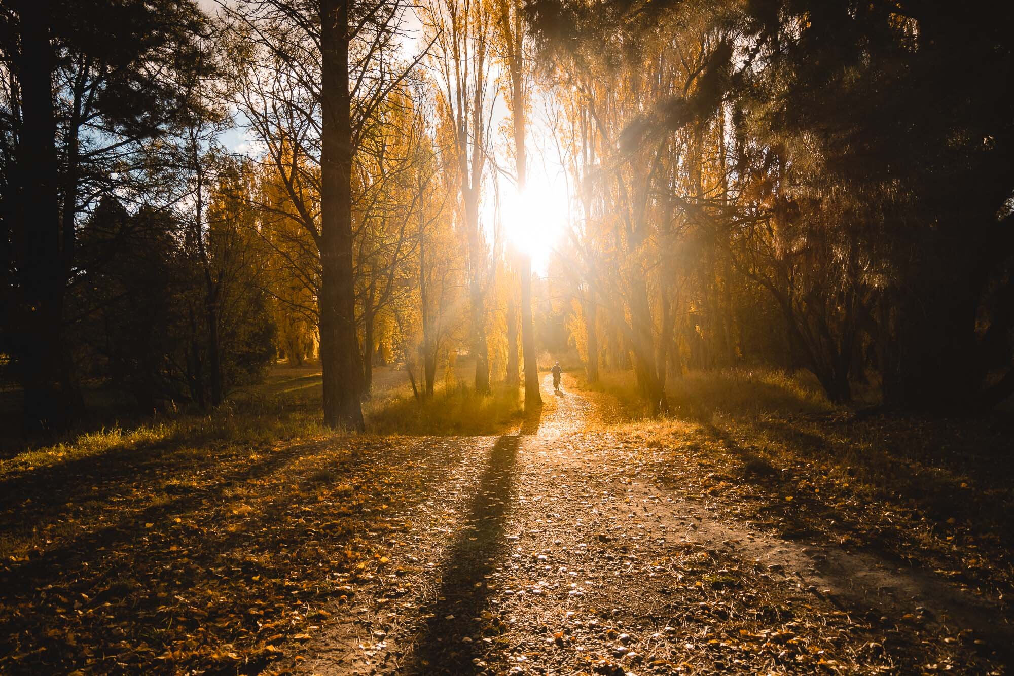
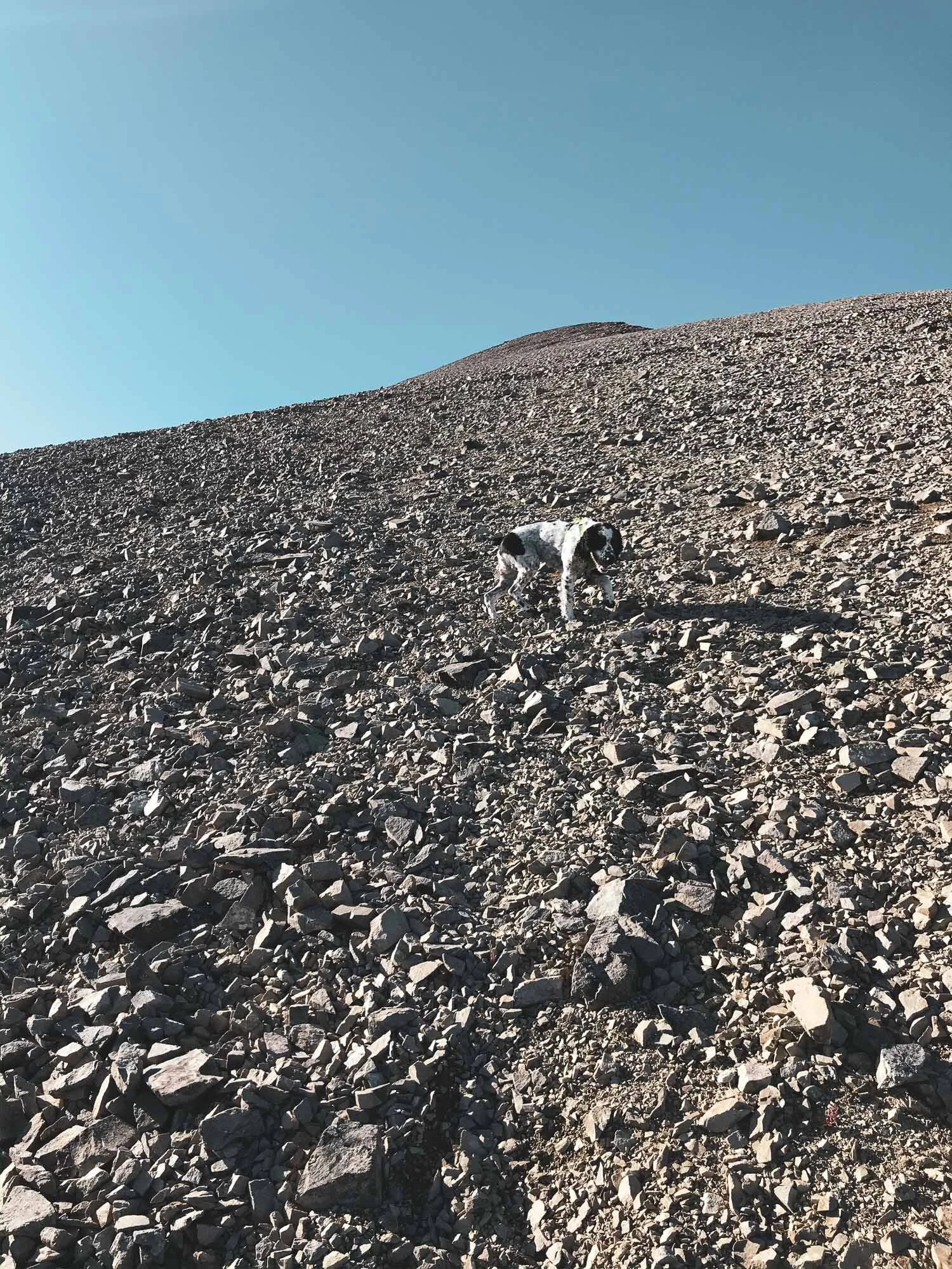
What is this guy up to?

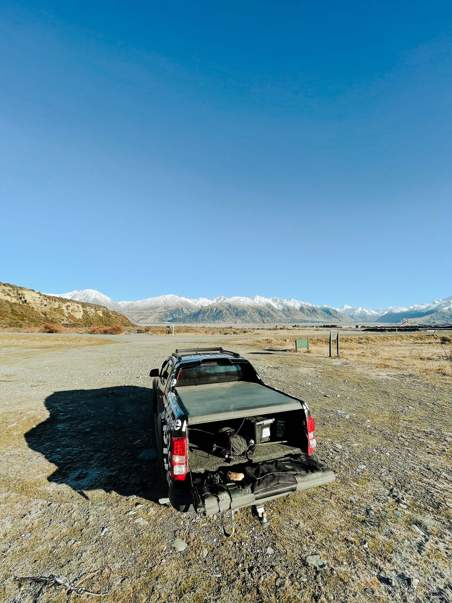
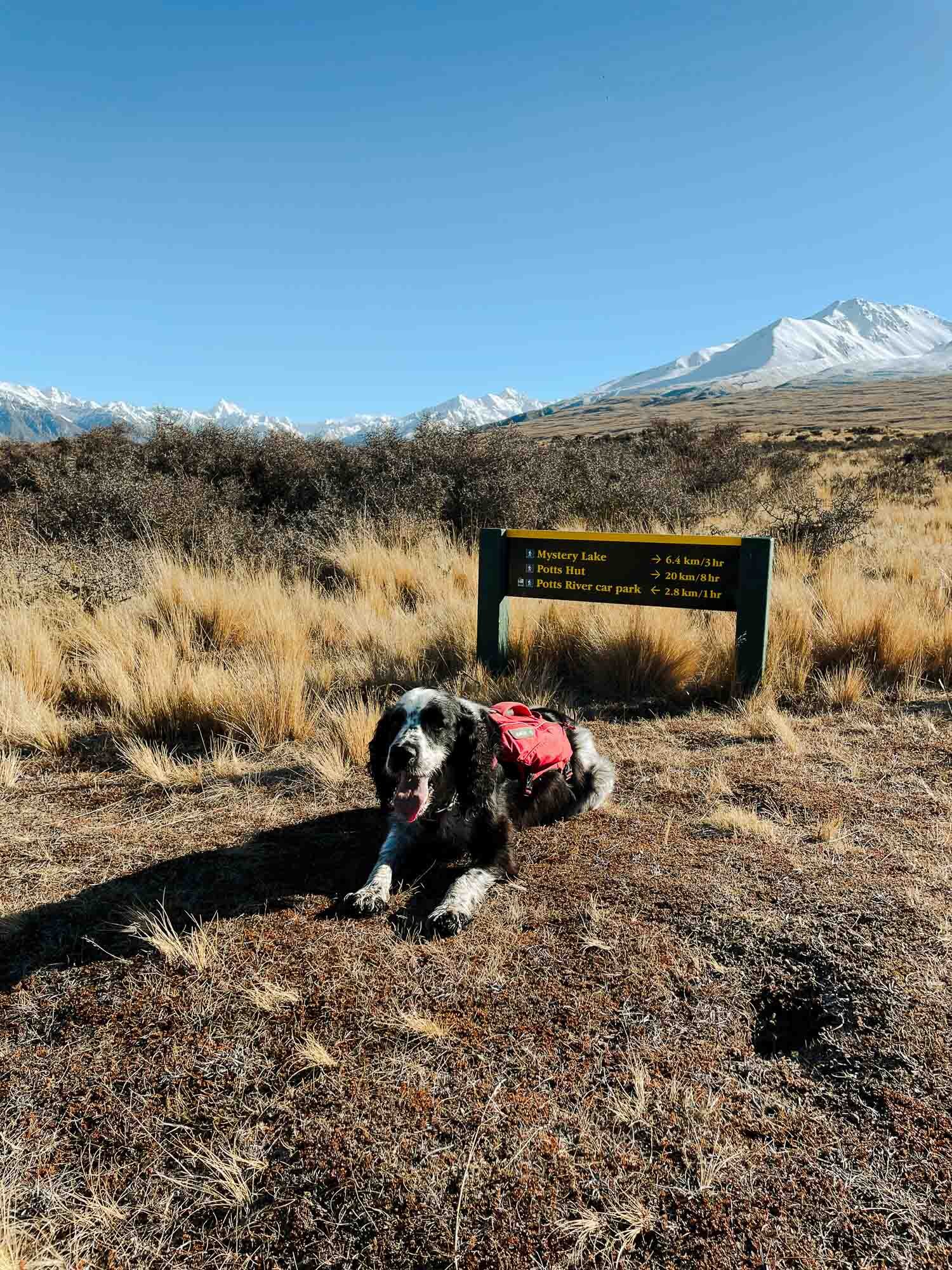
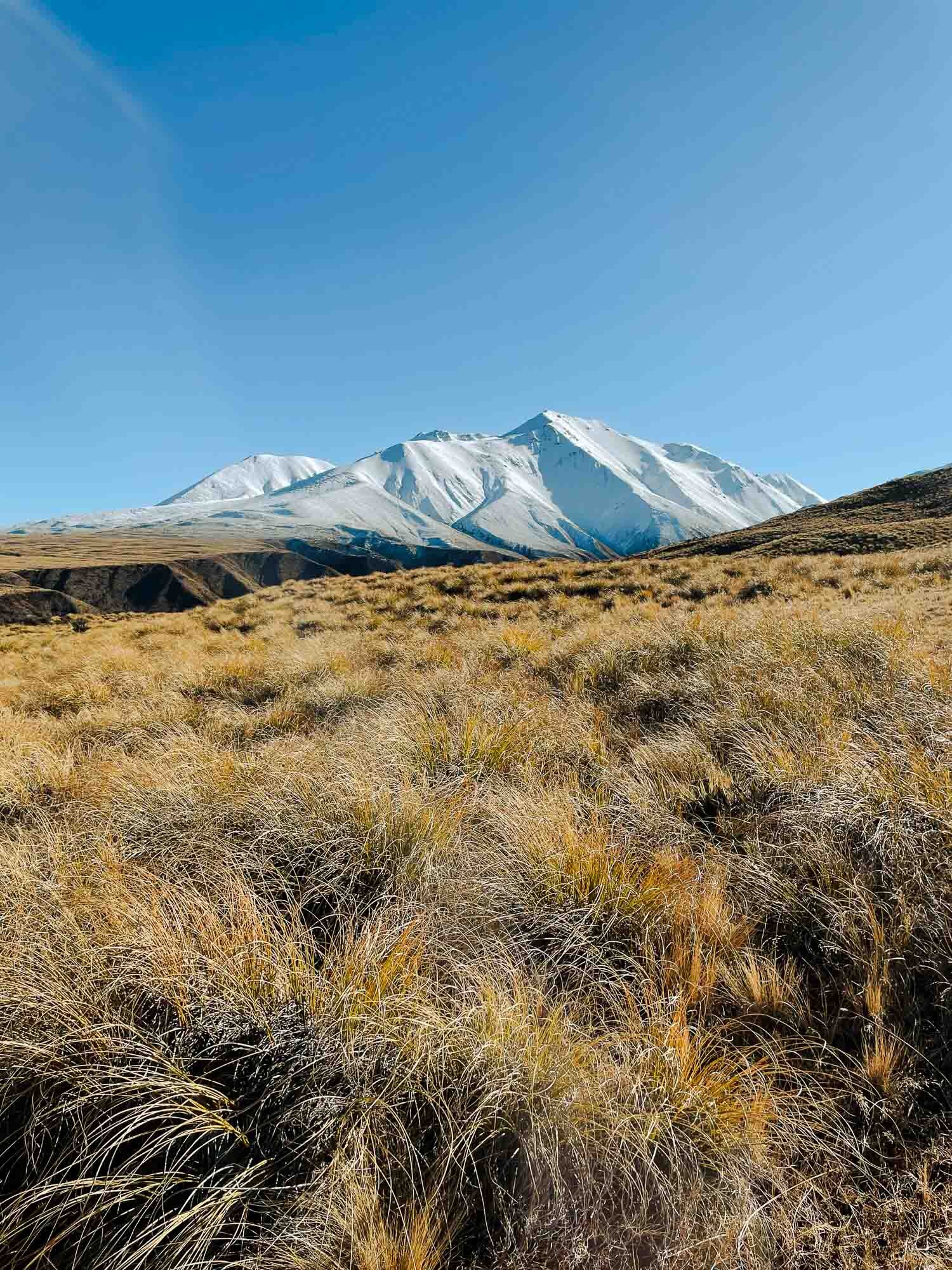
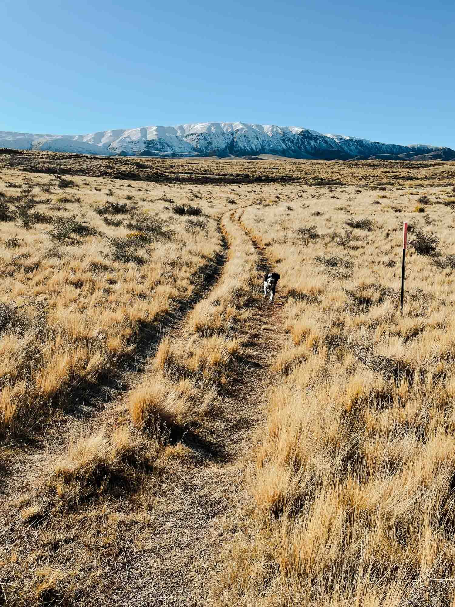
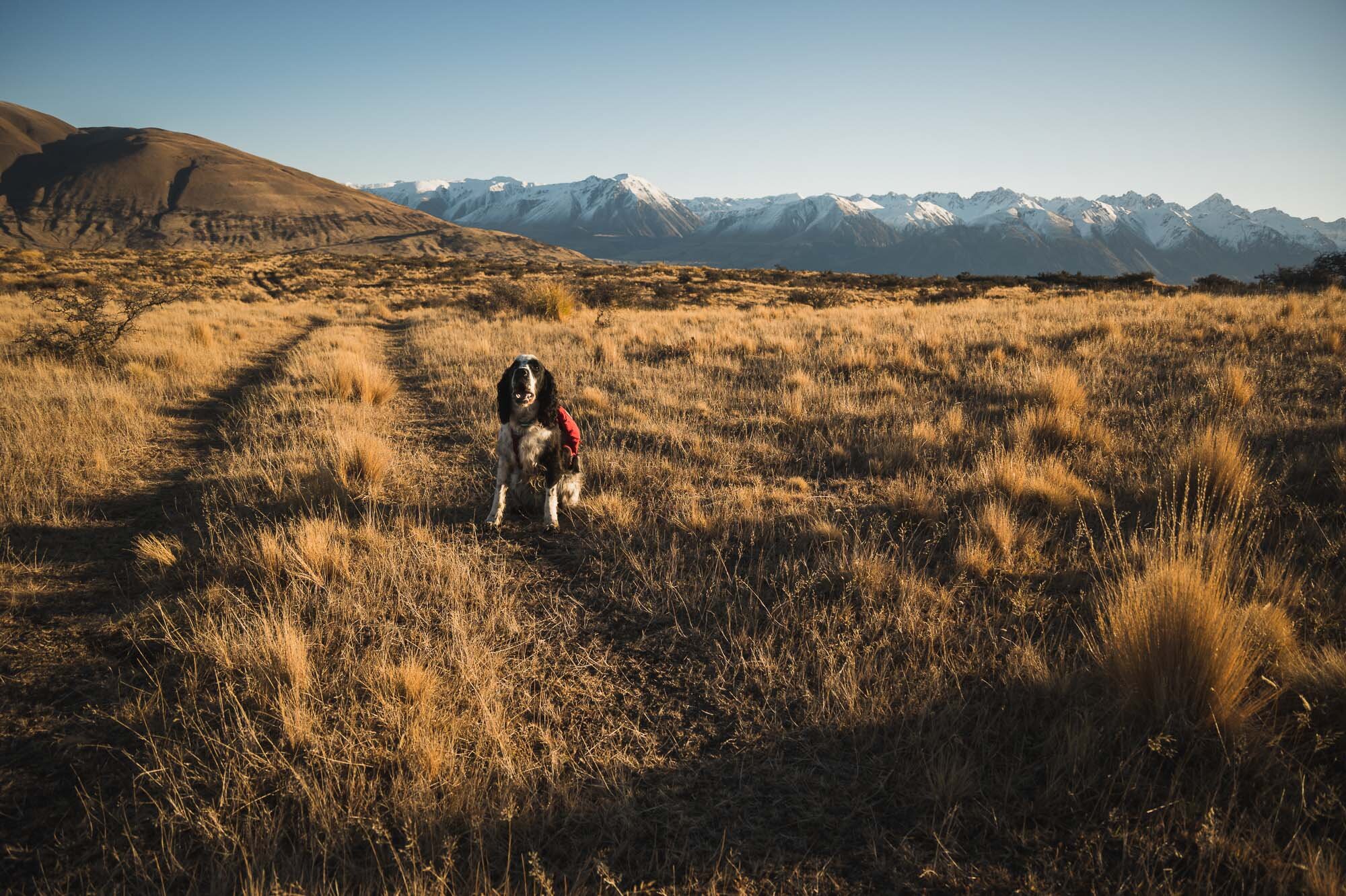
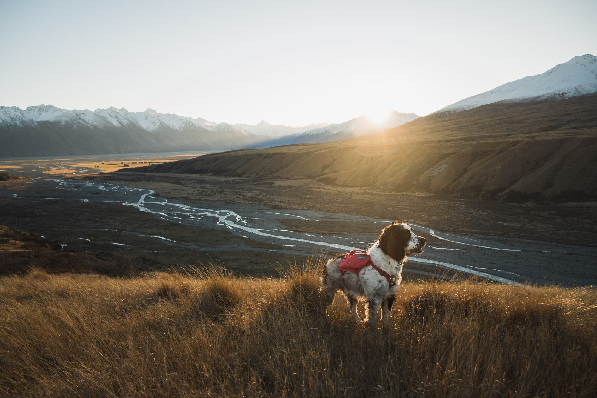
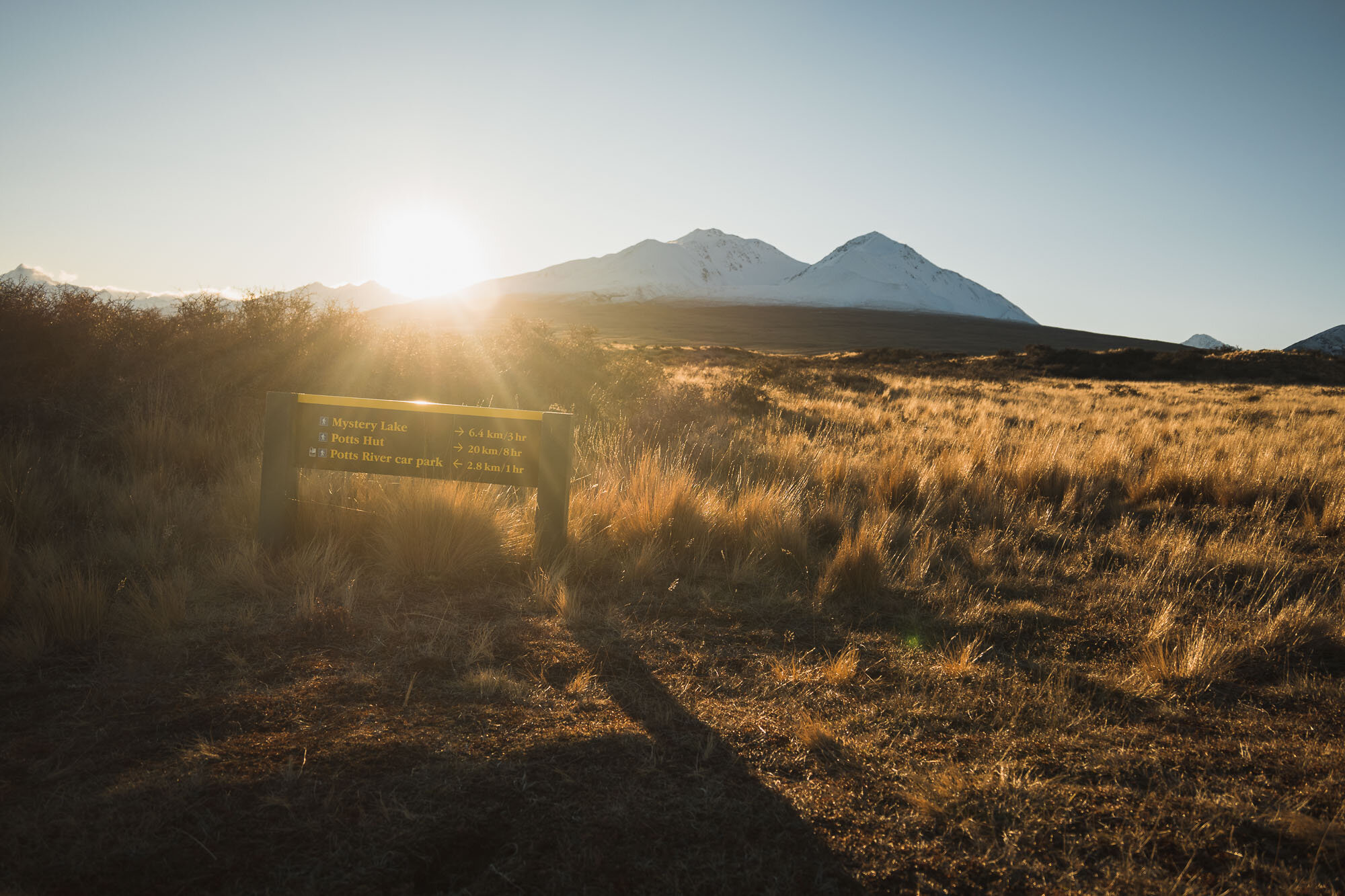
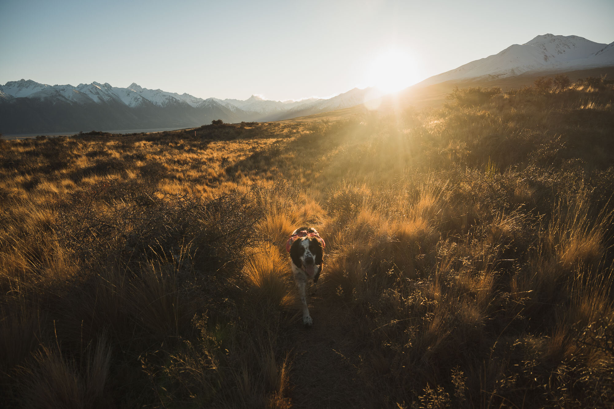
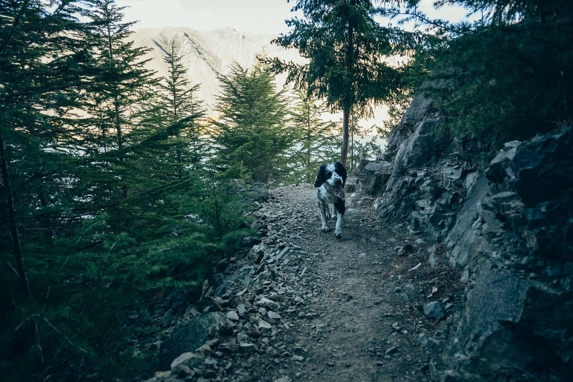
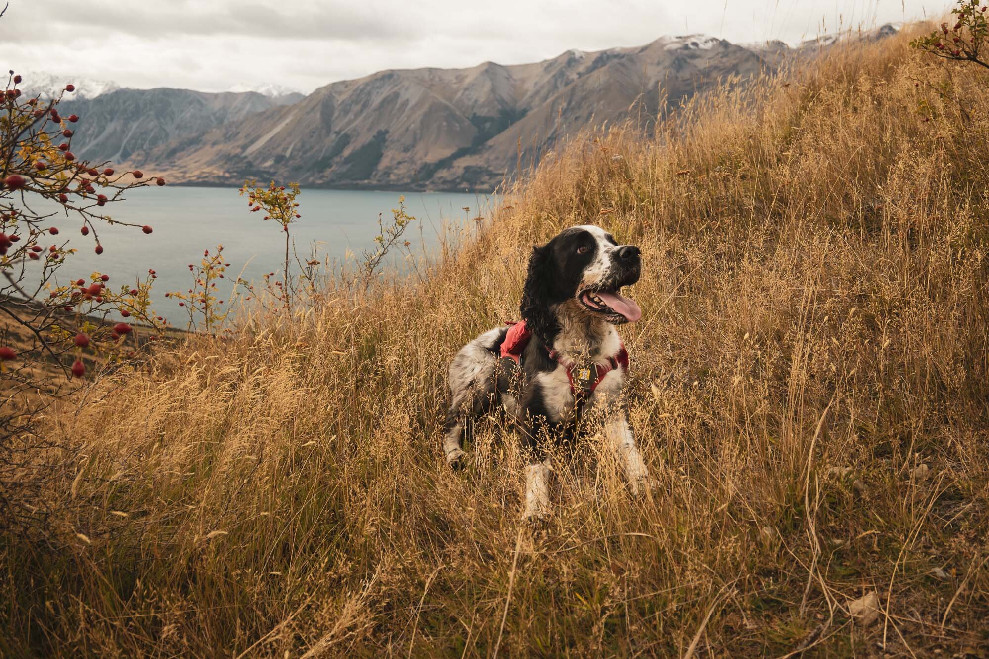
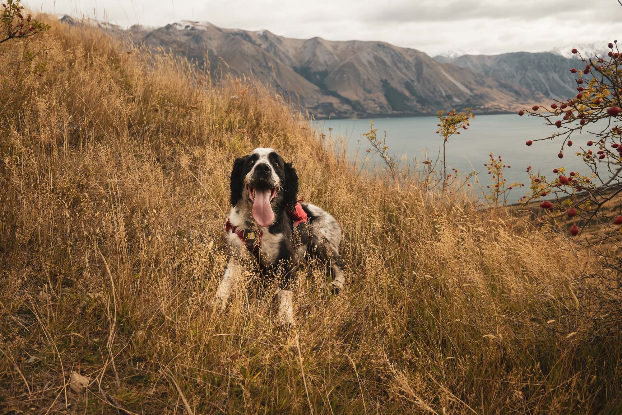
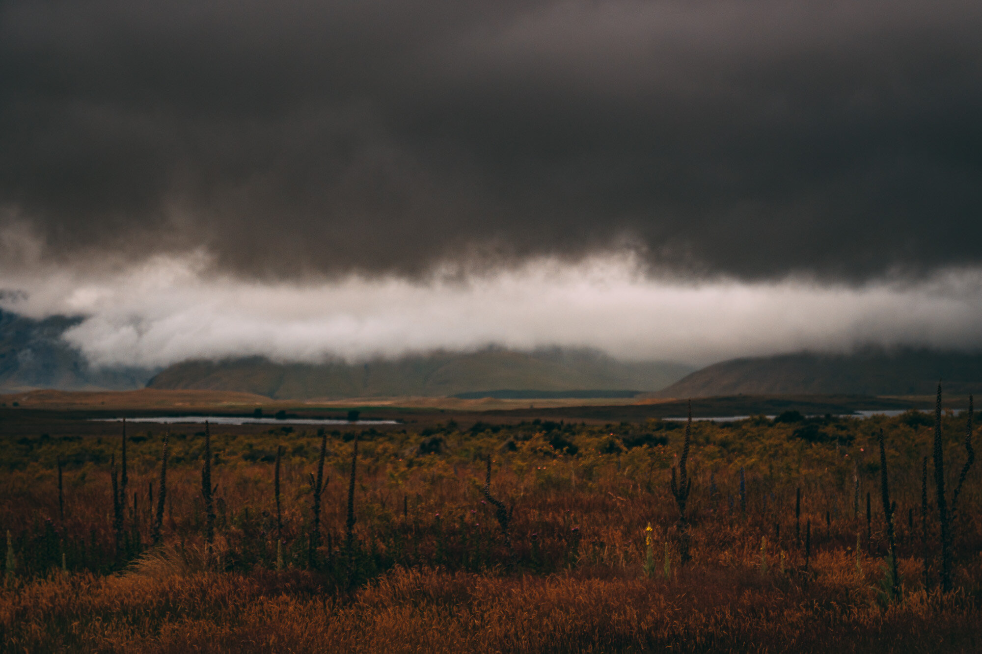
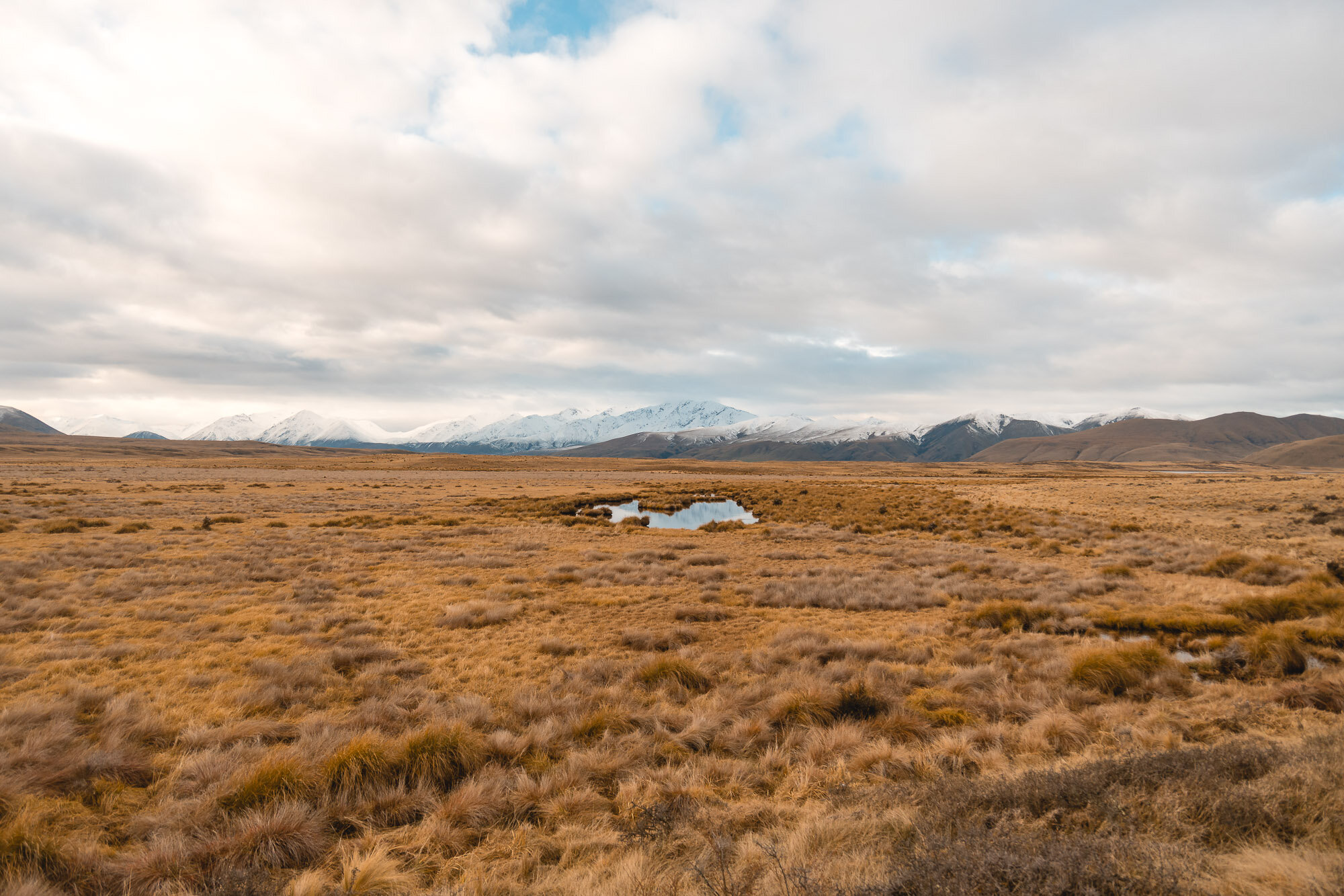
Mystery Lake, Canterbury, New Zealand
Mid Canterbury
6.45 Hours Return
Easy
MYSTERY LAKE
SOUTH CANTERBURY
Location:
South Canterbury
For this track, you can find the “Potts River Track” on Google, Park on the Lake Clearwater side of the Potts River bridge, it’s pretty obvious with the signage and whatnot.
Time:
6.45 hours return.
With the dog, photos, snow, and a track partially washed away.
Difficulty.
Easy
Dogs:
Under effective control
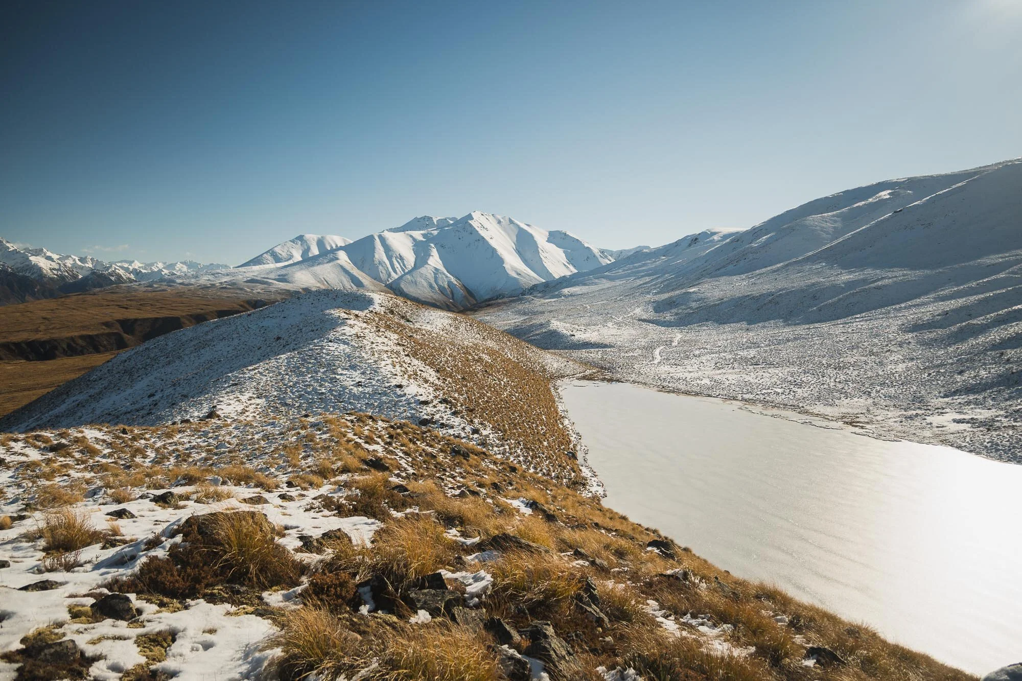
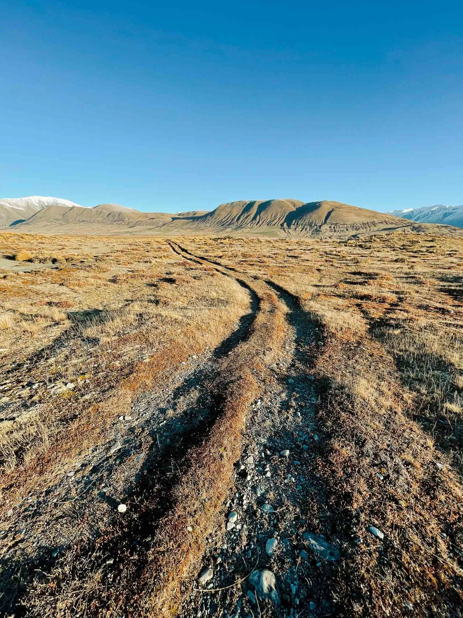
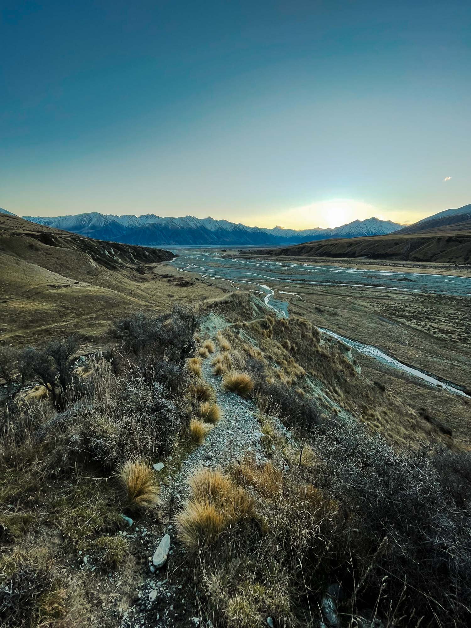
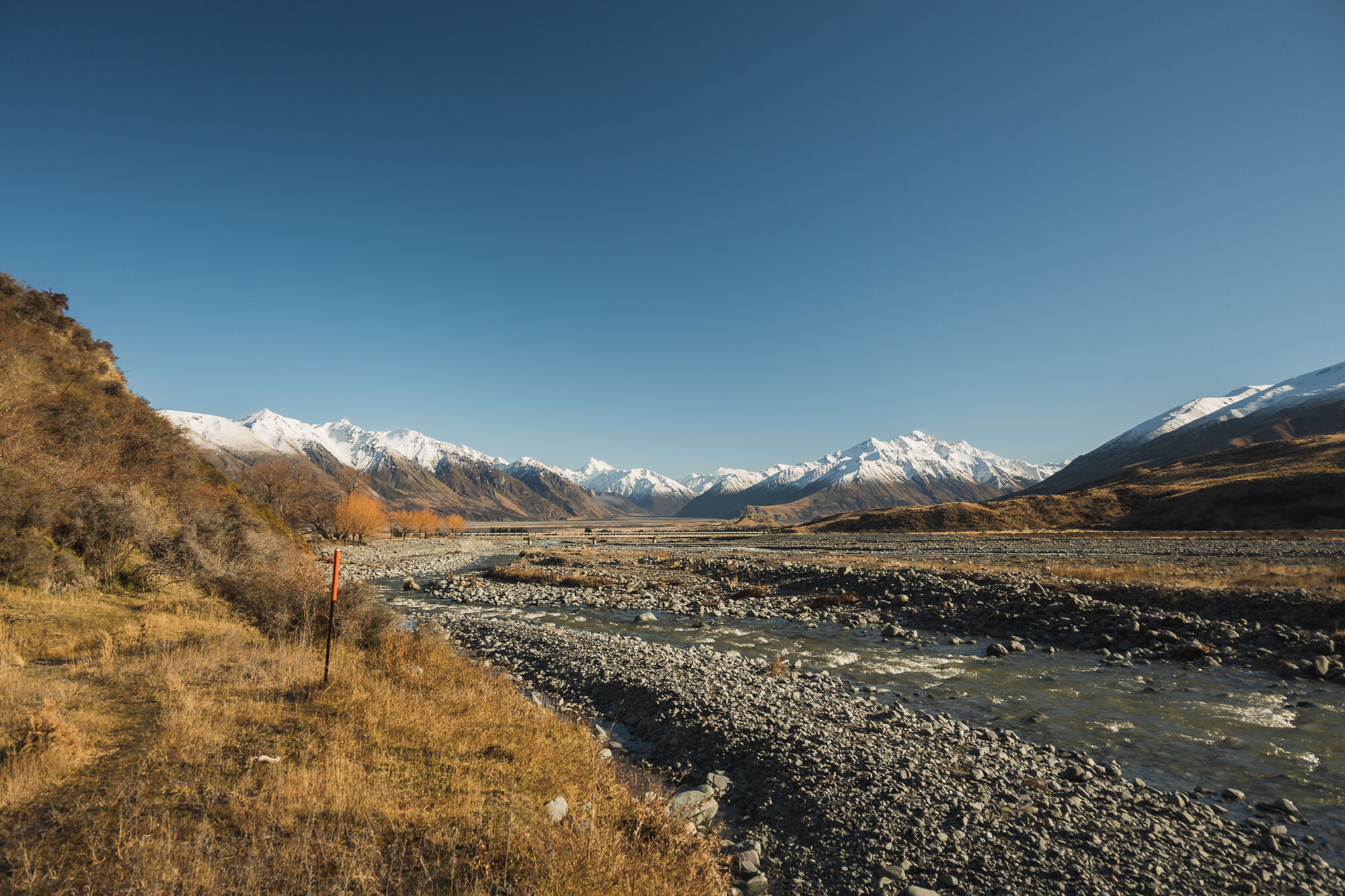
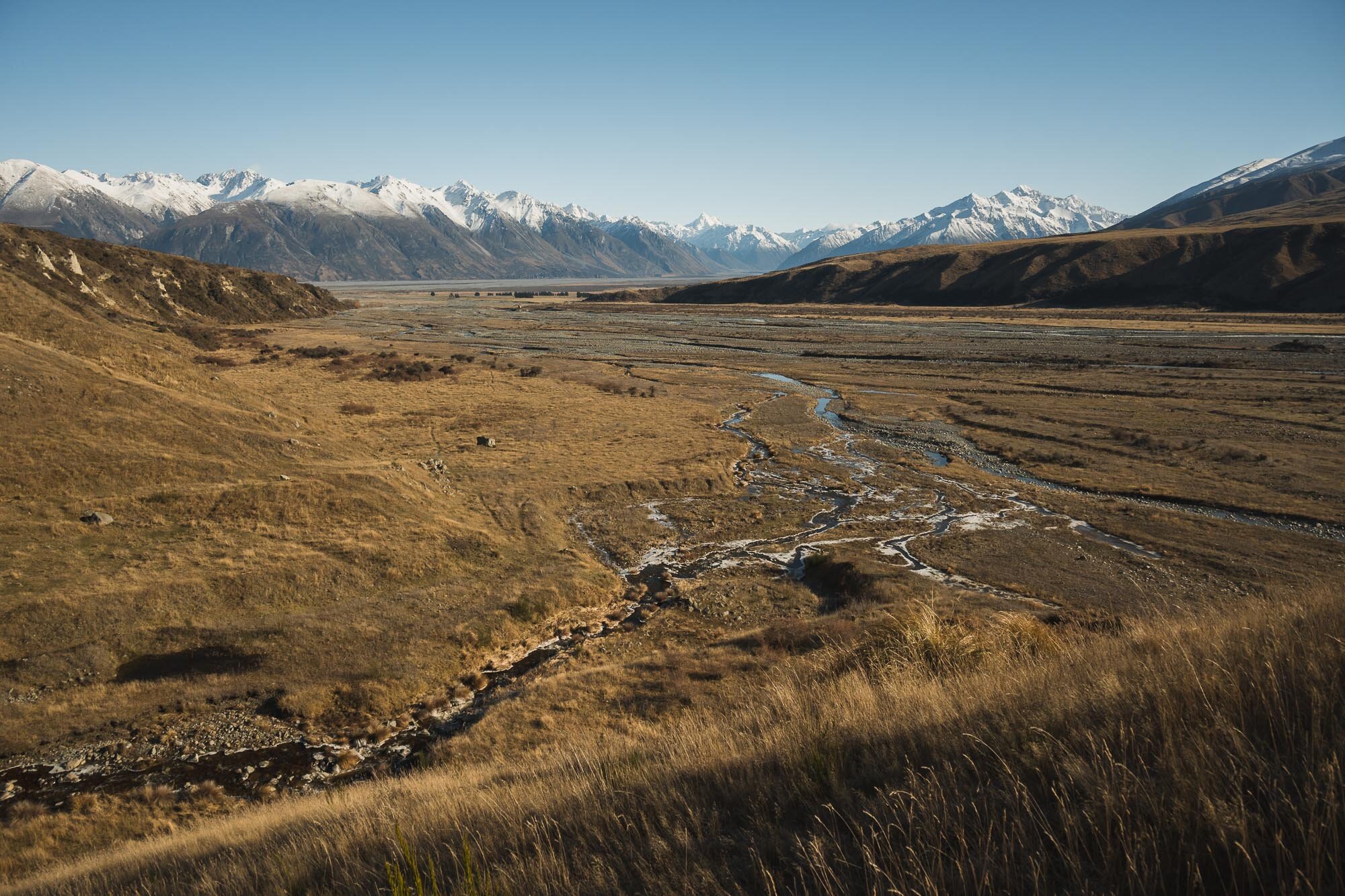
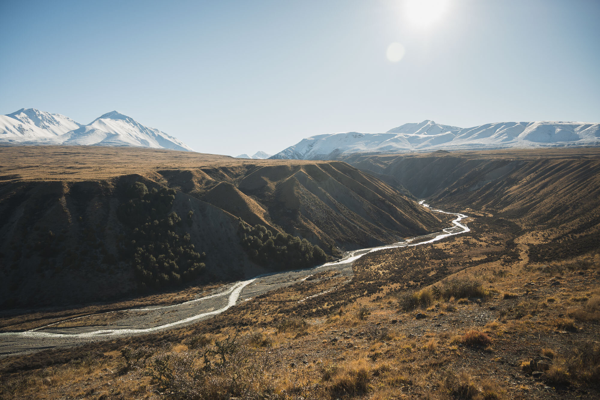
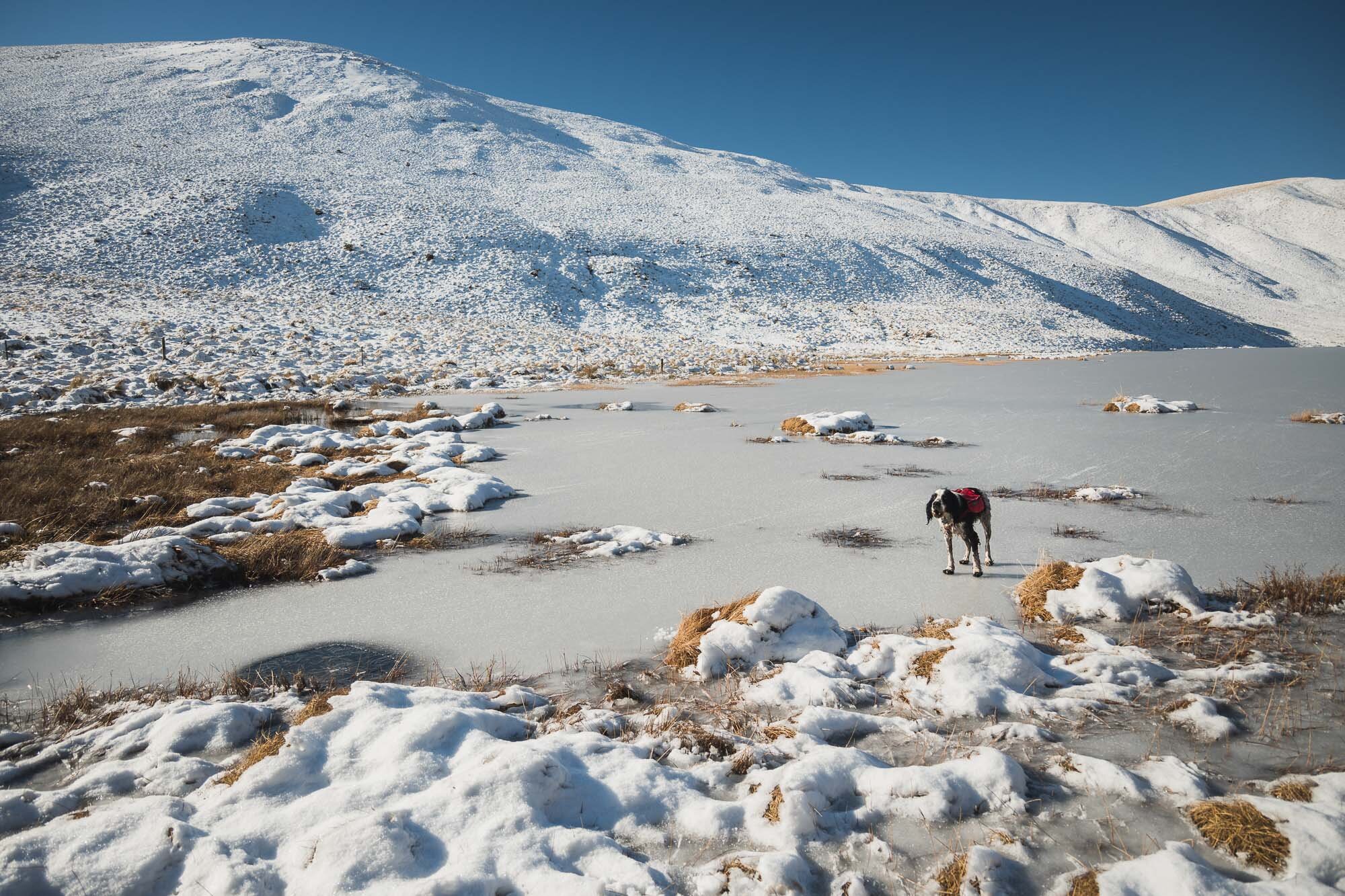
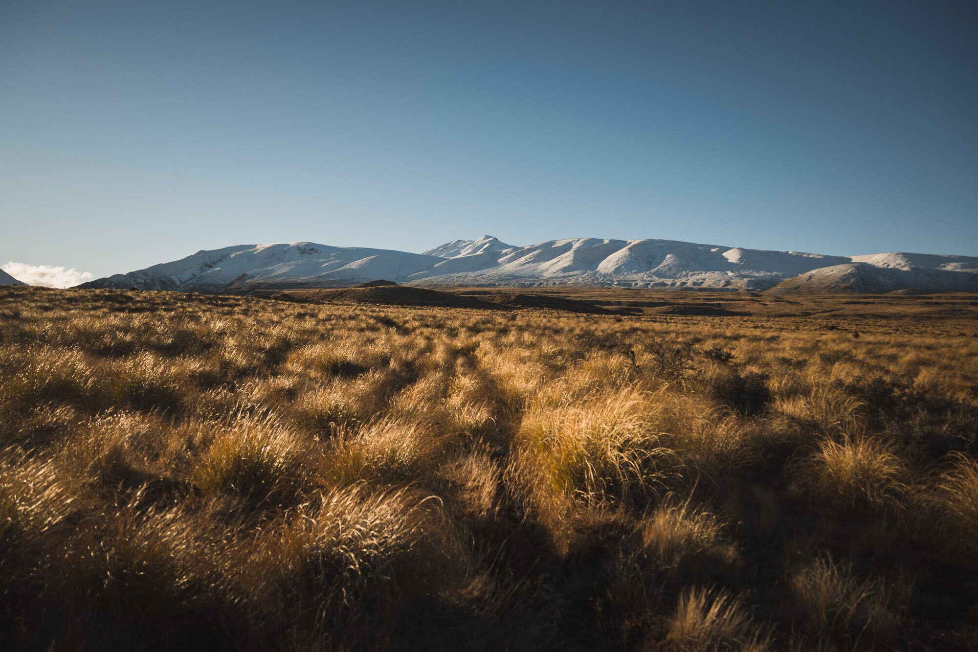
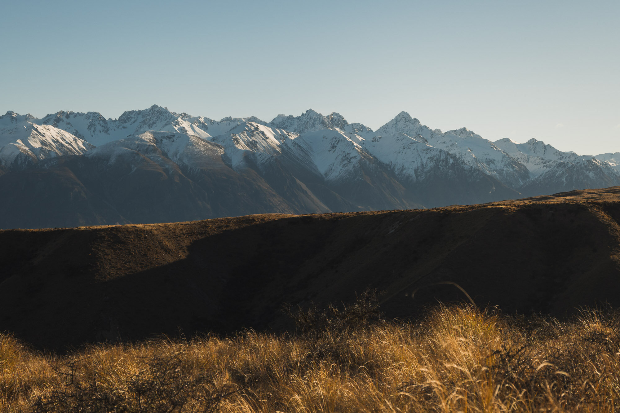
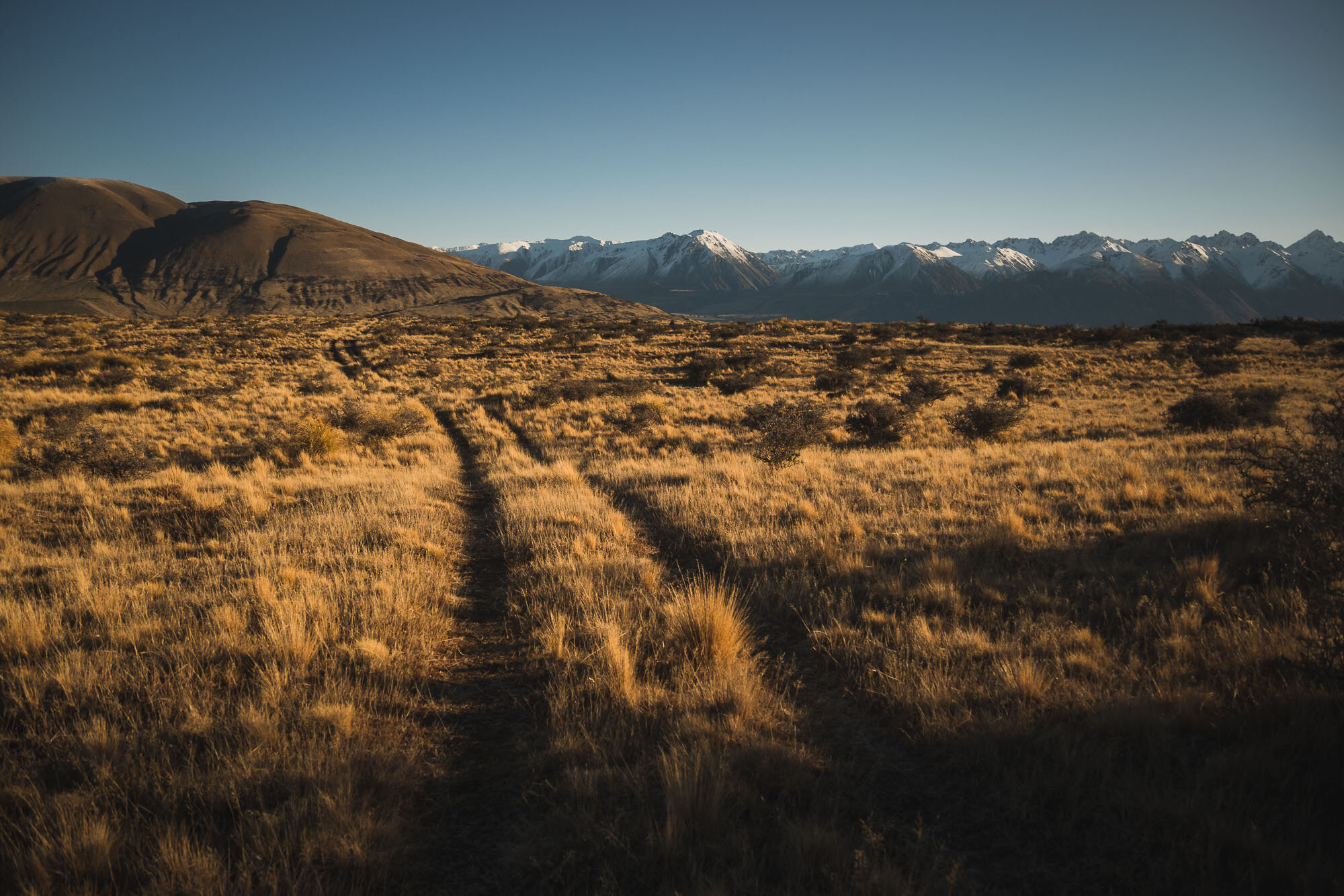
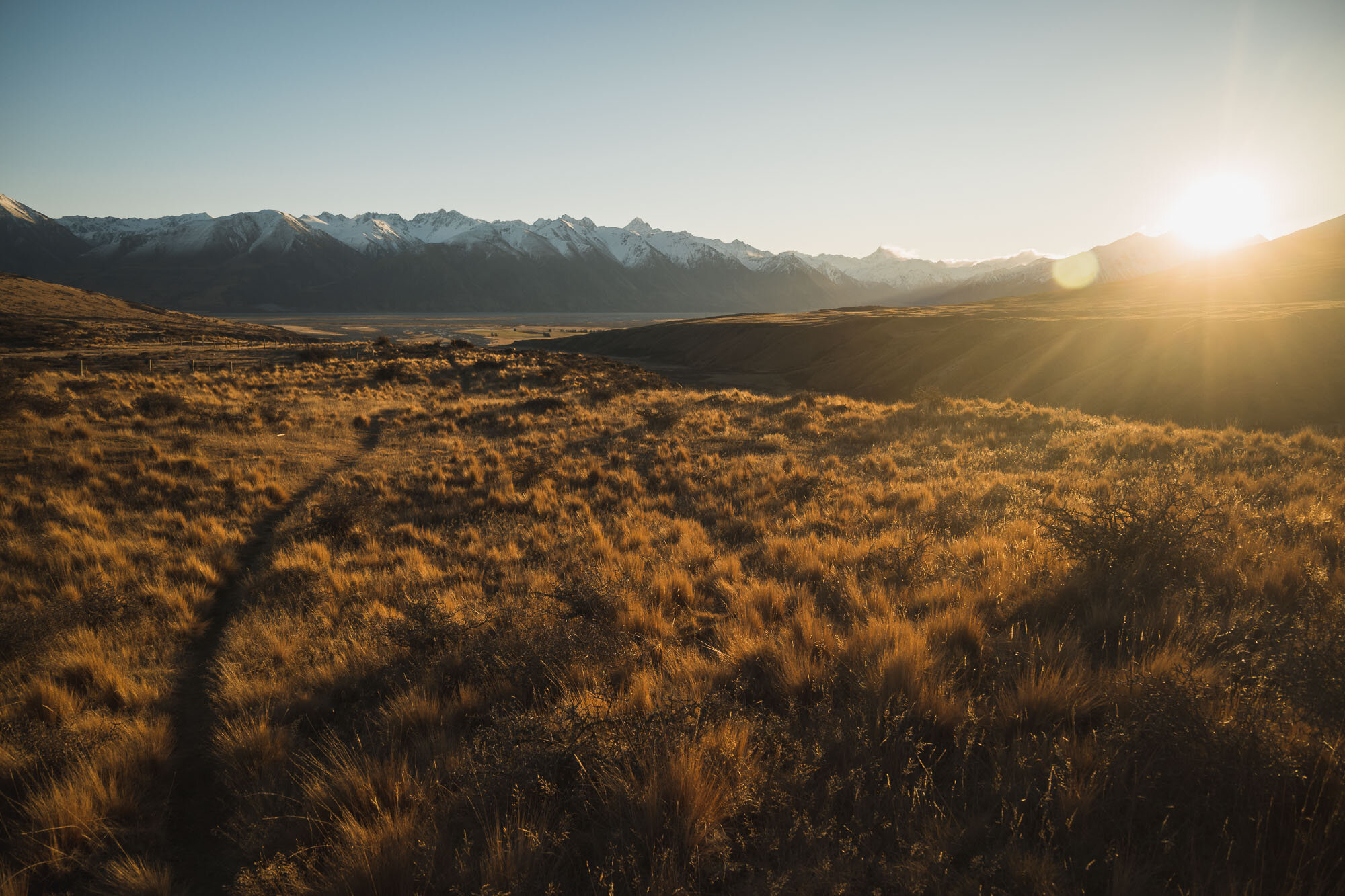
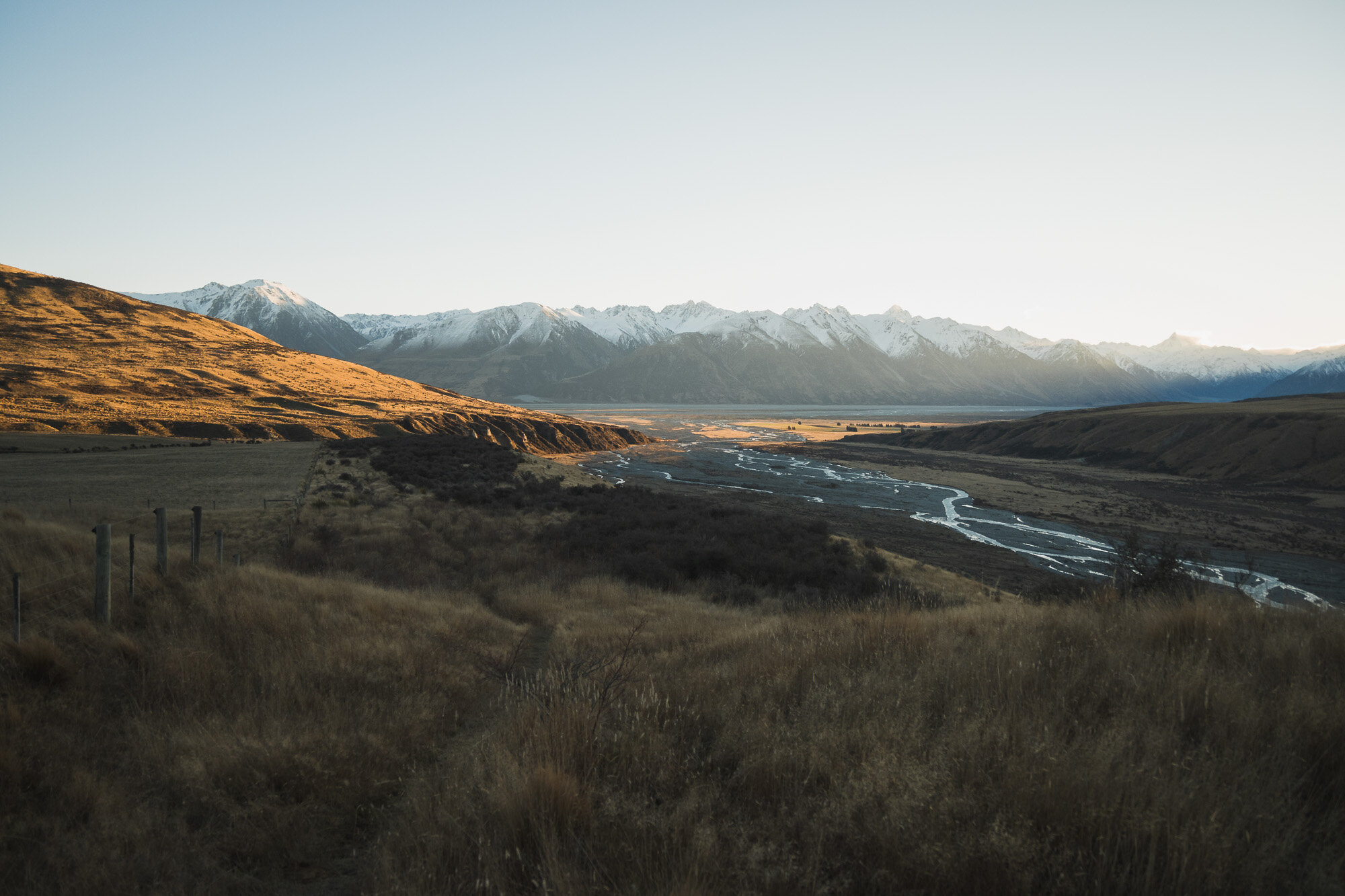
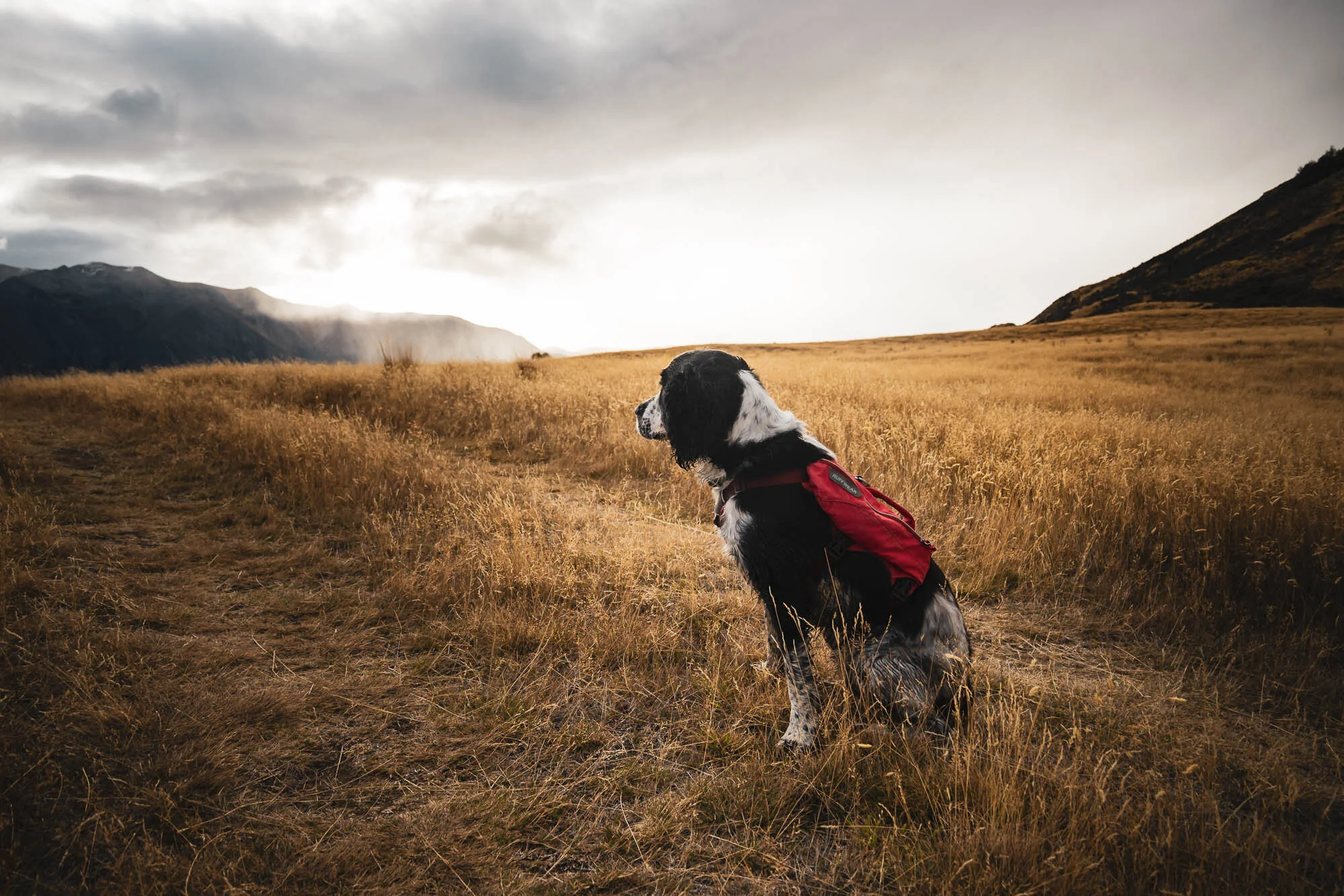
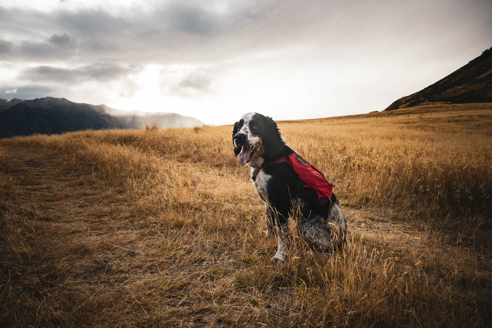
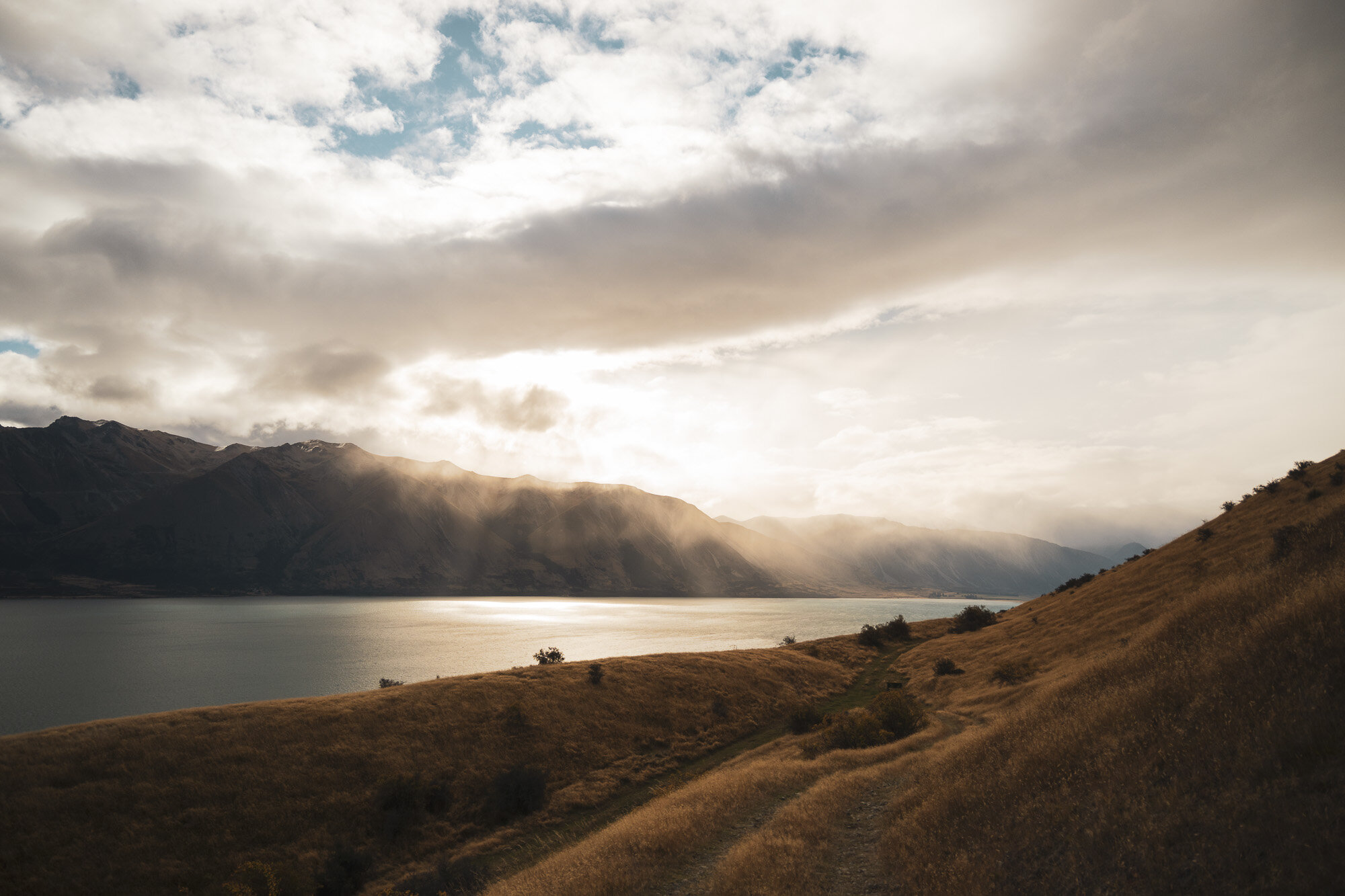
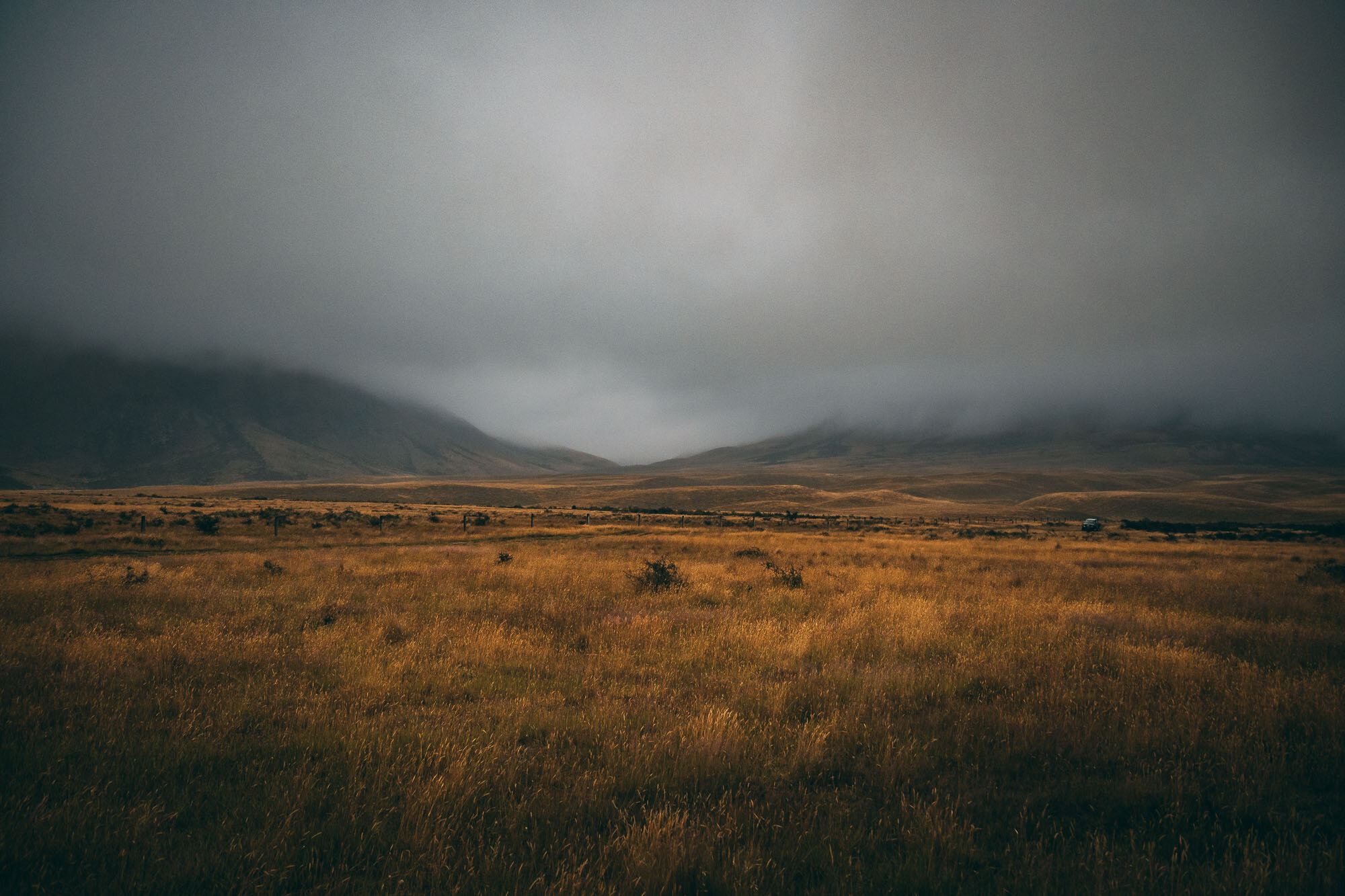
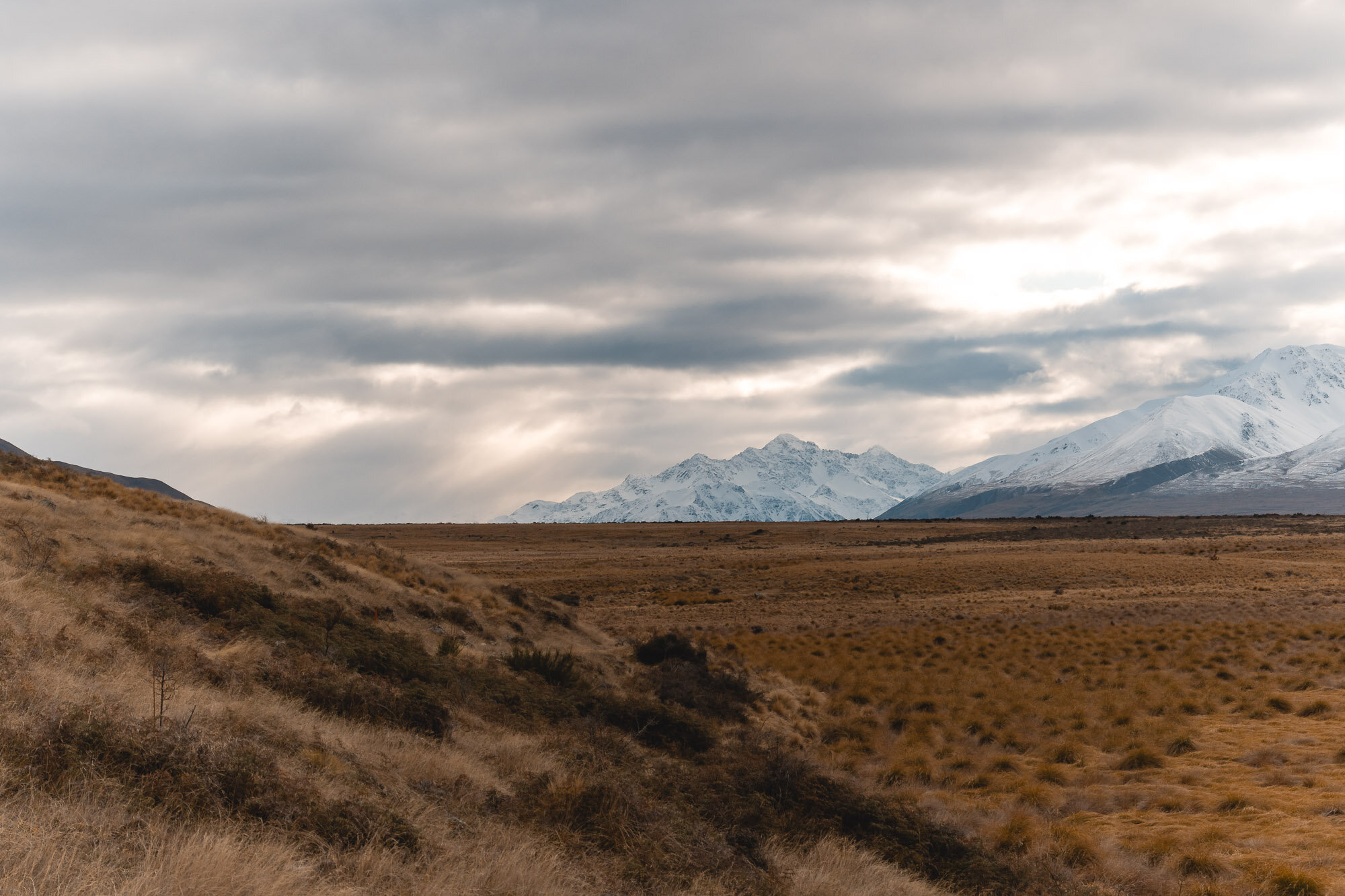
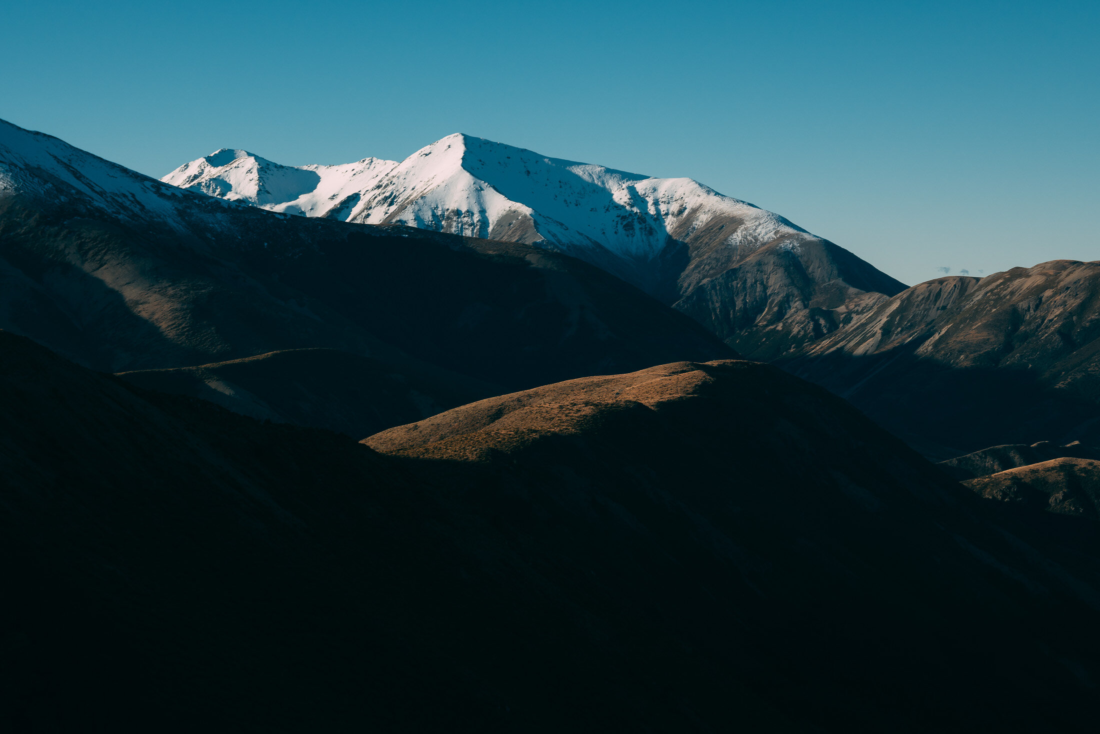
The weather had been rough, and I was aware the snowline would be creeping down. Charlie and I wanted to get out as we had a spare day and knew there would be a weather window. I had my eye on something down this way as that was where the weather was best. I was also looking for something that wouldn’t require ice axes and crampons.
The start of the track by the bridge has fallen victim to the flooding in the area which has destroyed the track and created river channels right up to the edge of the valley. This first km is a bit tricky and you have to jump the river and pick lines that work. It’s all fun and games. Watch out for the pest traps if you have your dog off the lead.
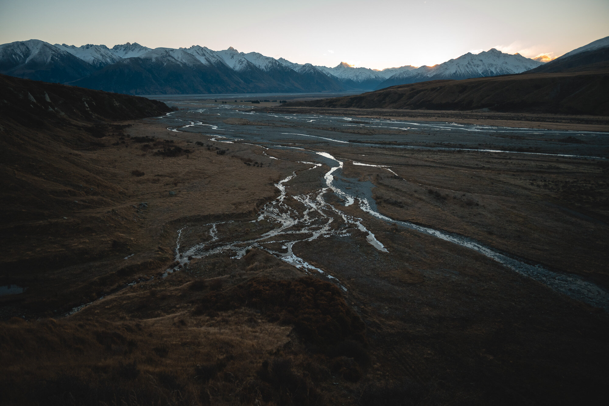
Once we got a bit further in, we realised that nothing had thawed here in a while and every bit of water was ice - so this made some of the sections pretty treacherous, especially any rock stretch with clear black ice on it.
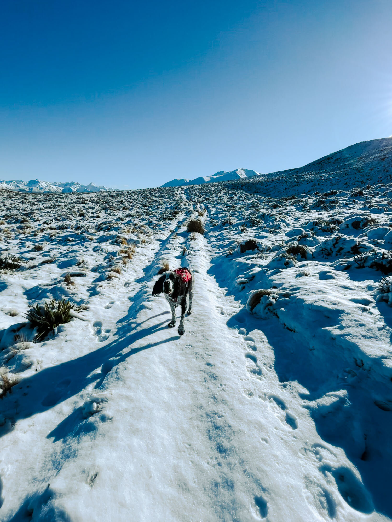
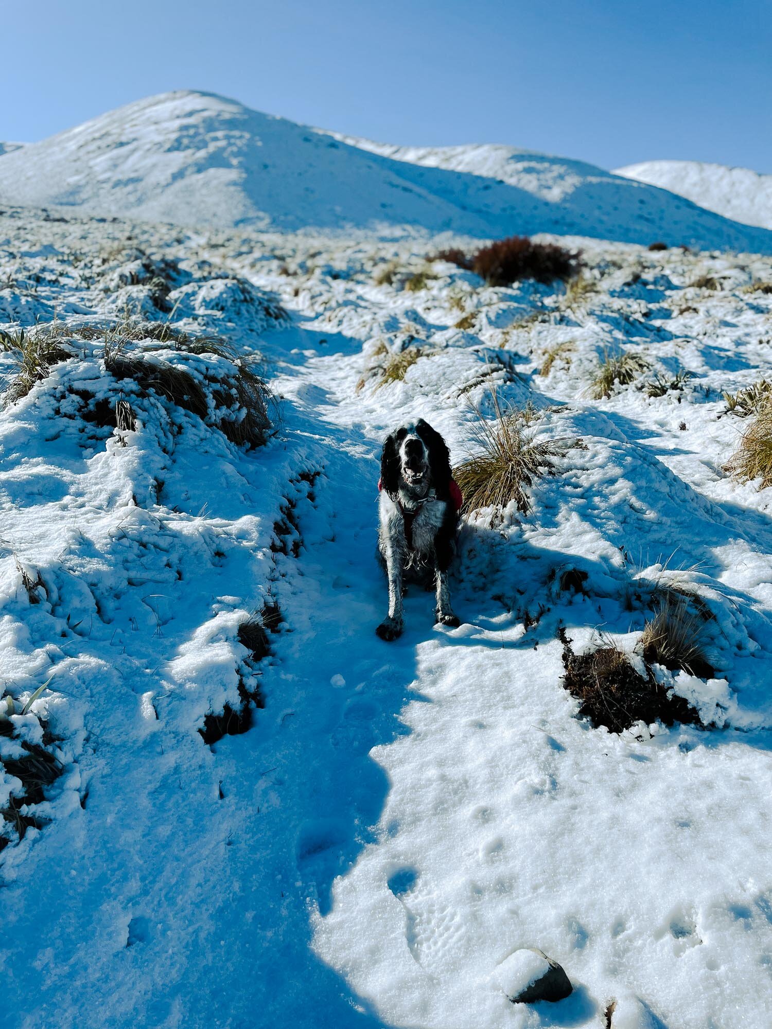
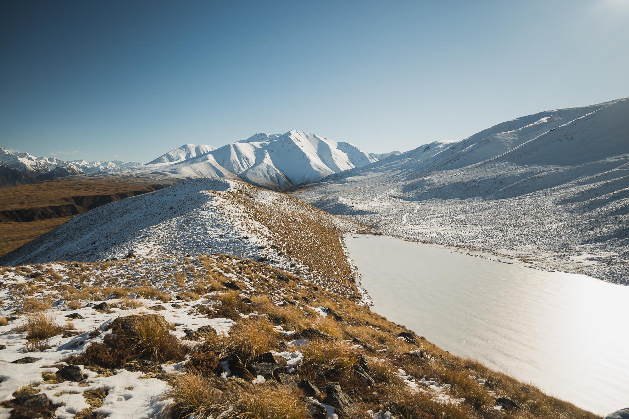
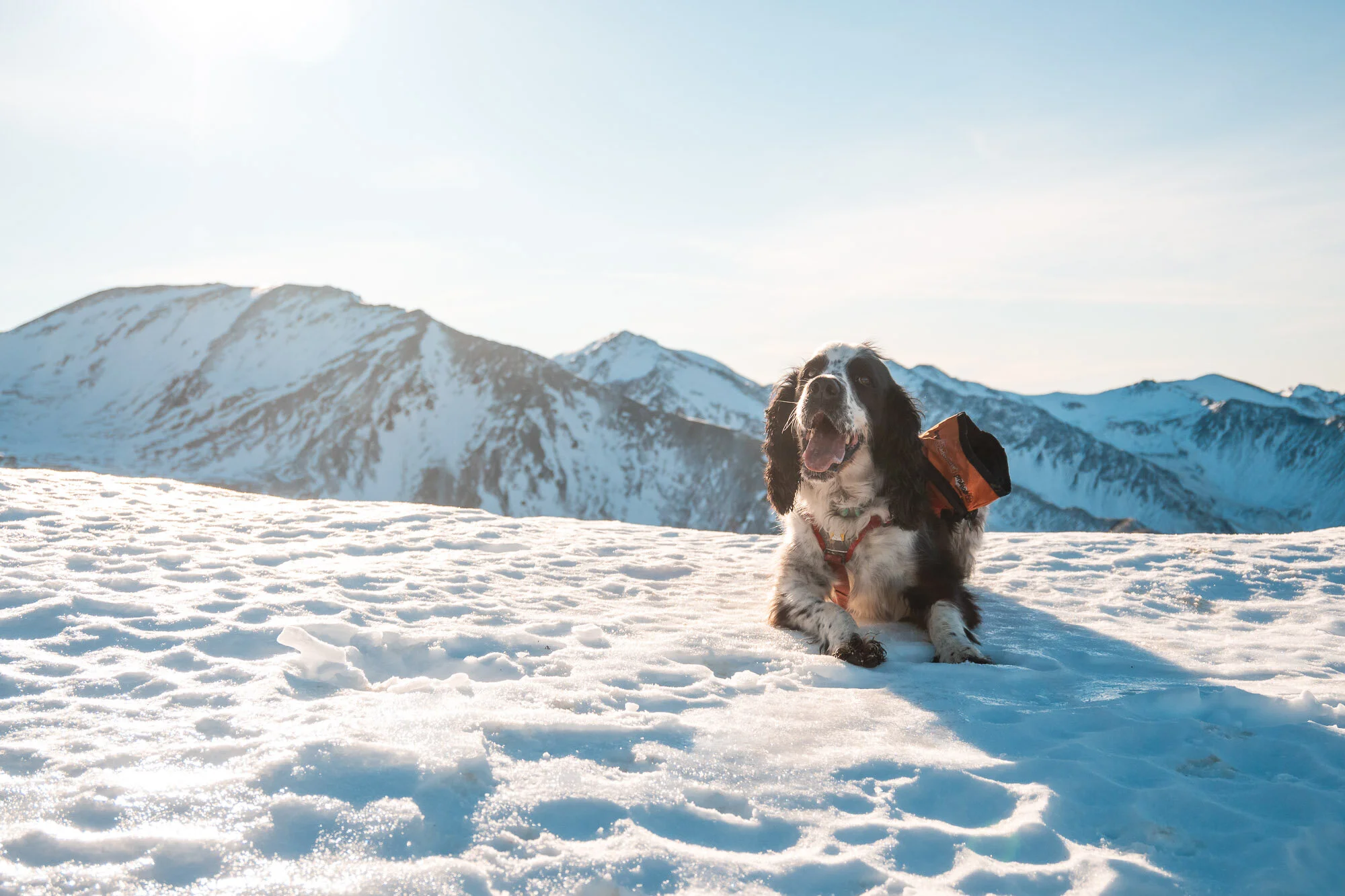
It was relatively slow going and the distance was 21.00km, so once we reached the lake we didn’t try getting up any higher. The snow was pretty deep and hard to walk in by then.
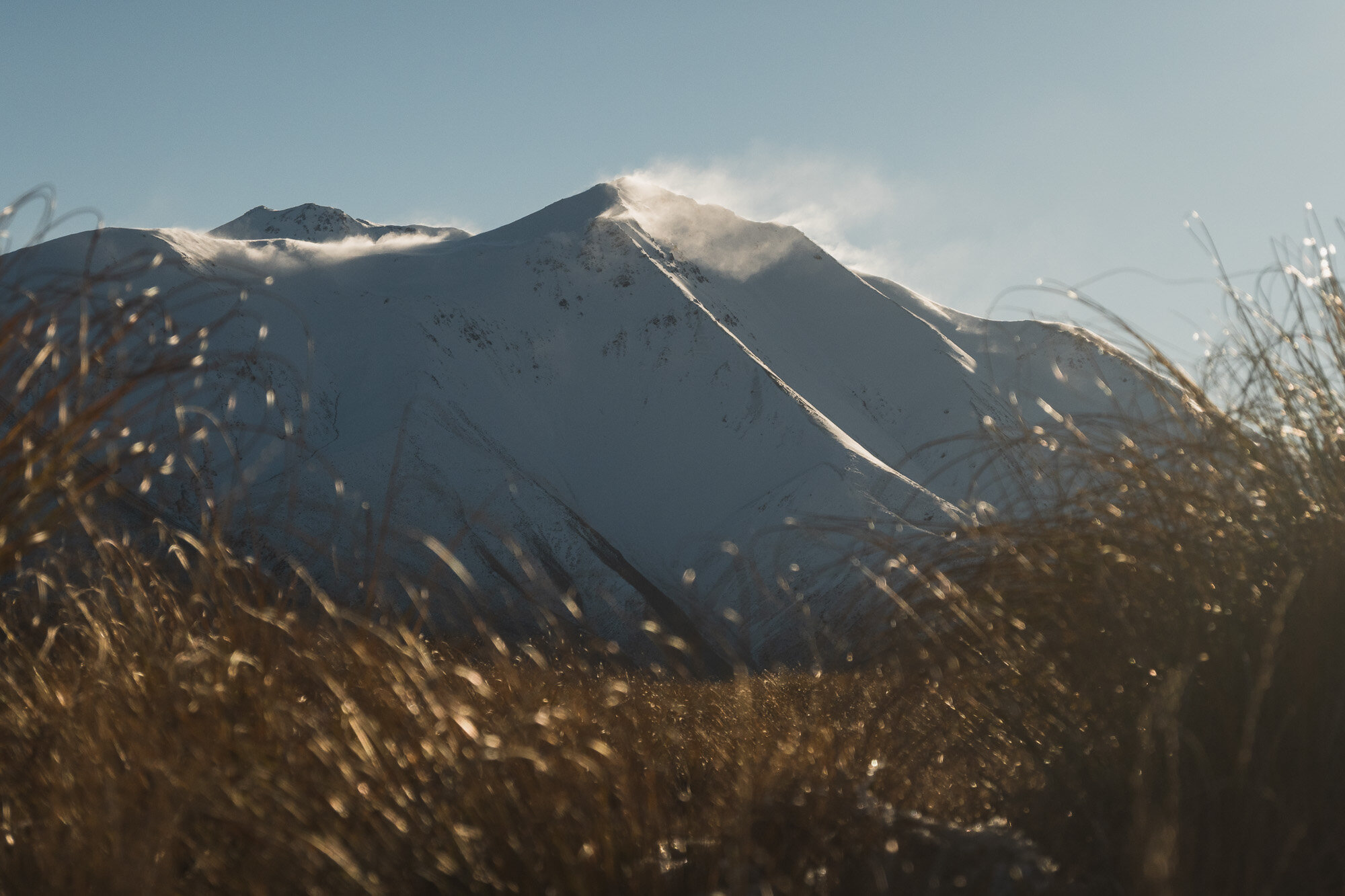
Bit windy up by the lake but beautiful and calm on the way down a bit lower.
As usual, first up the iPhone dump, then the Z50 snaps for the rest.
Real beautiful spot here.


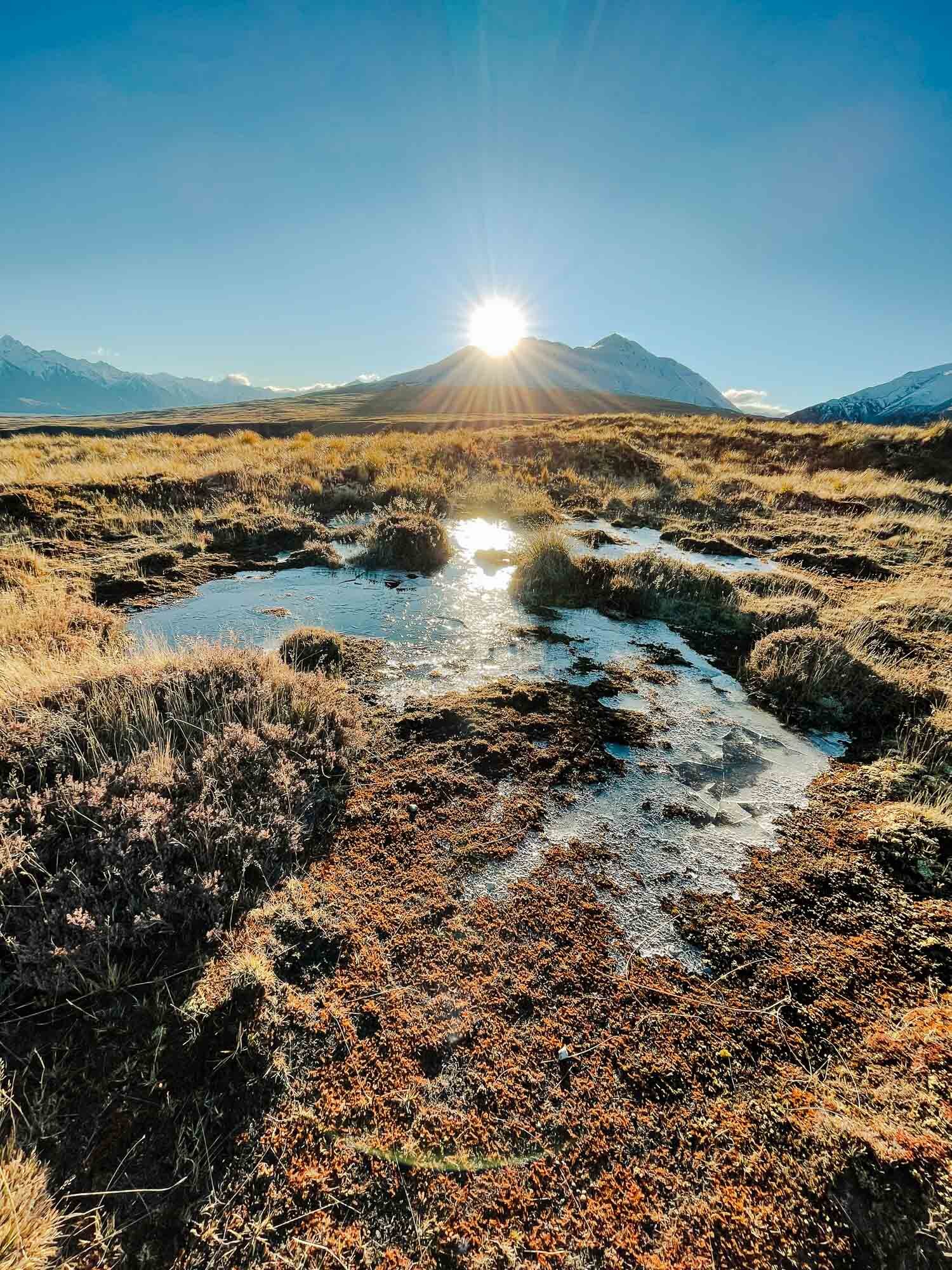
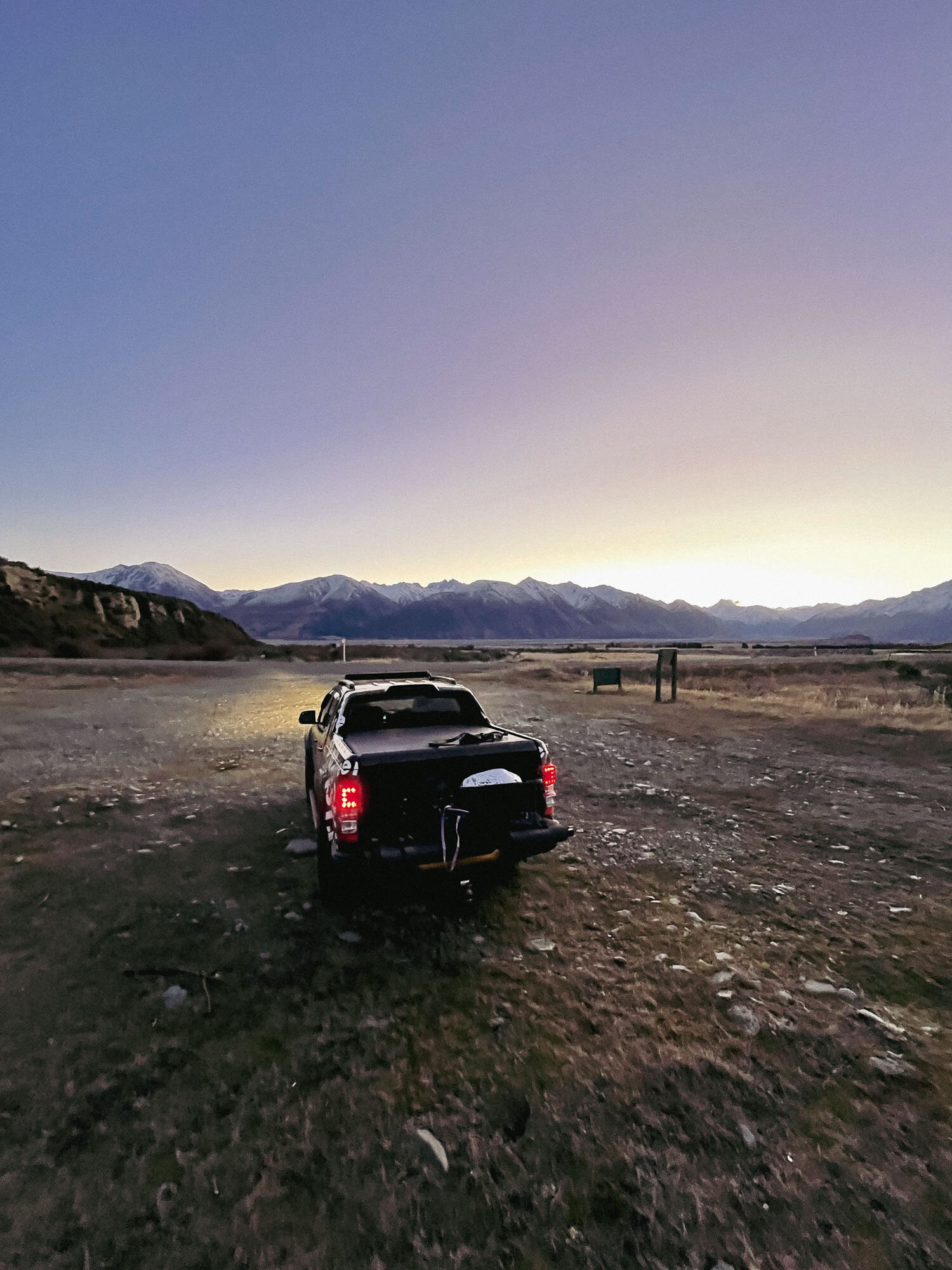

On the road in. A fresh coat of snow to welcome us.

Getting into the snow for real now.
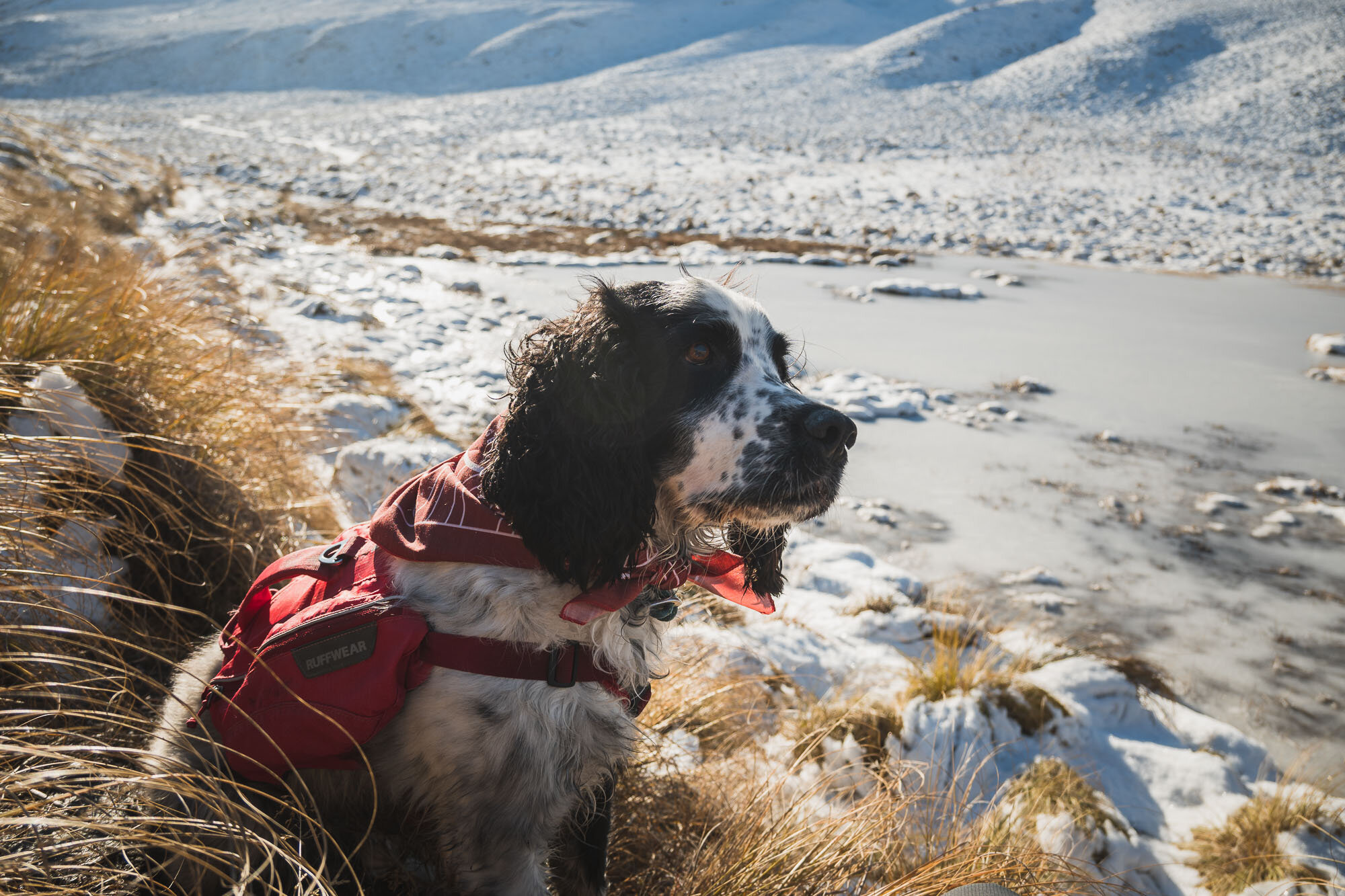
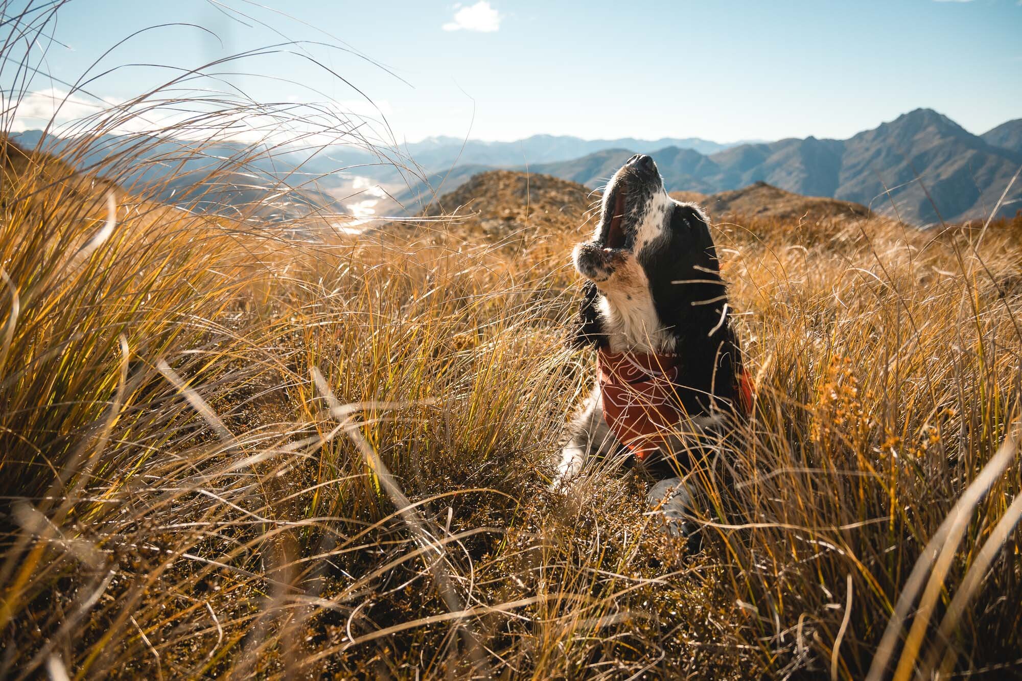
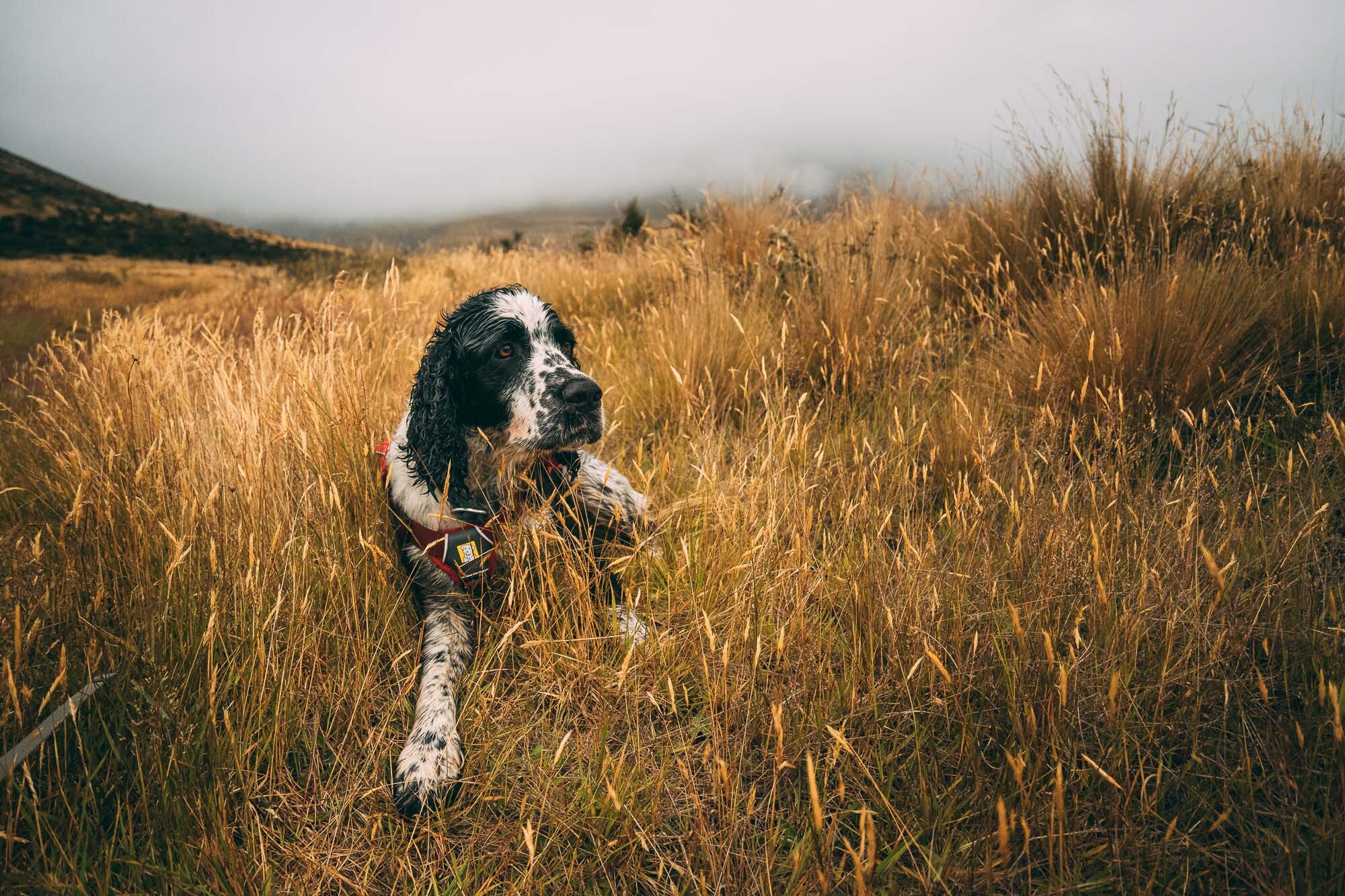
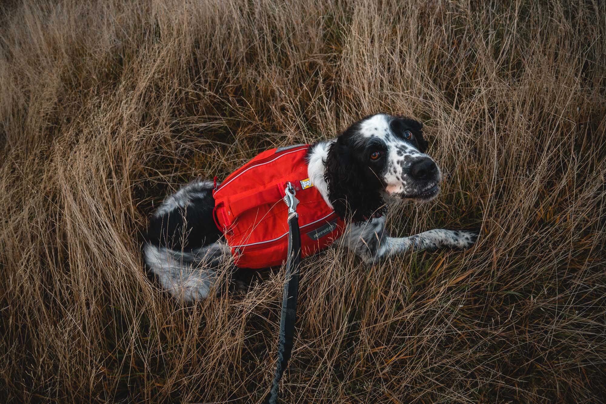
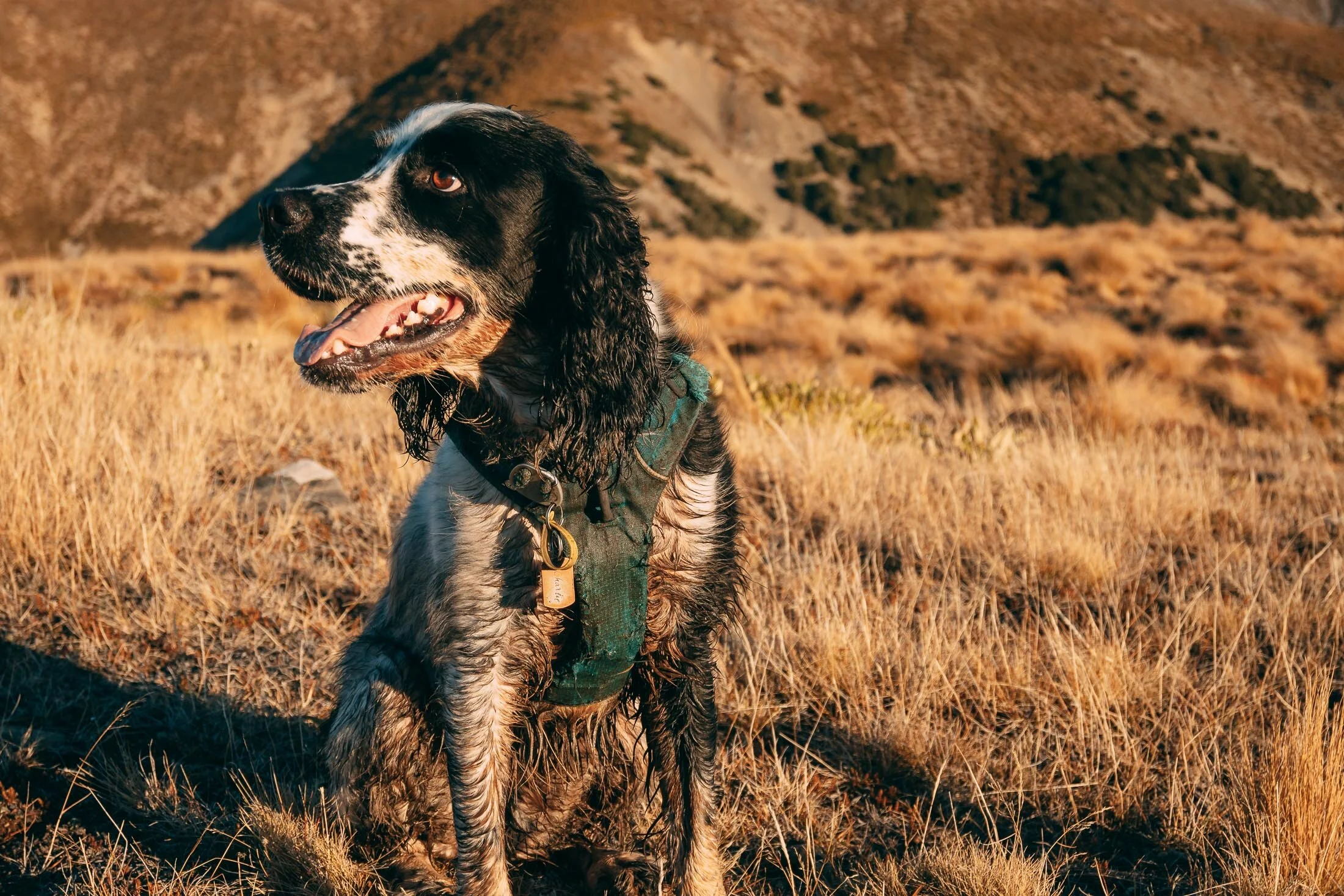
Charlie sporting his Further Faster Mountain Dog bandana.
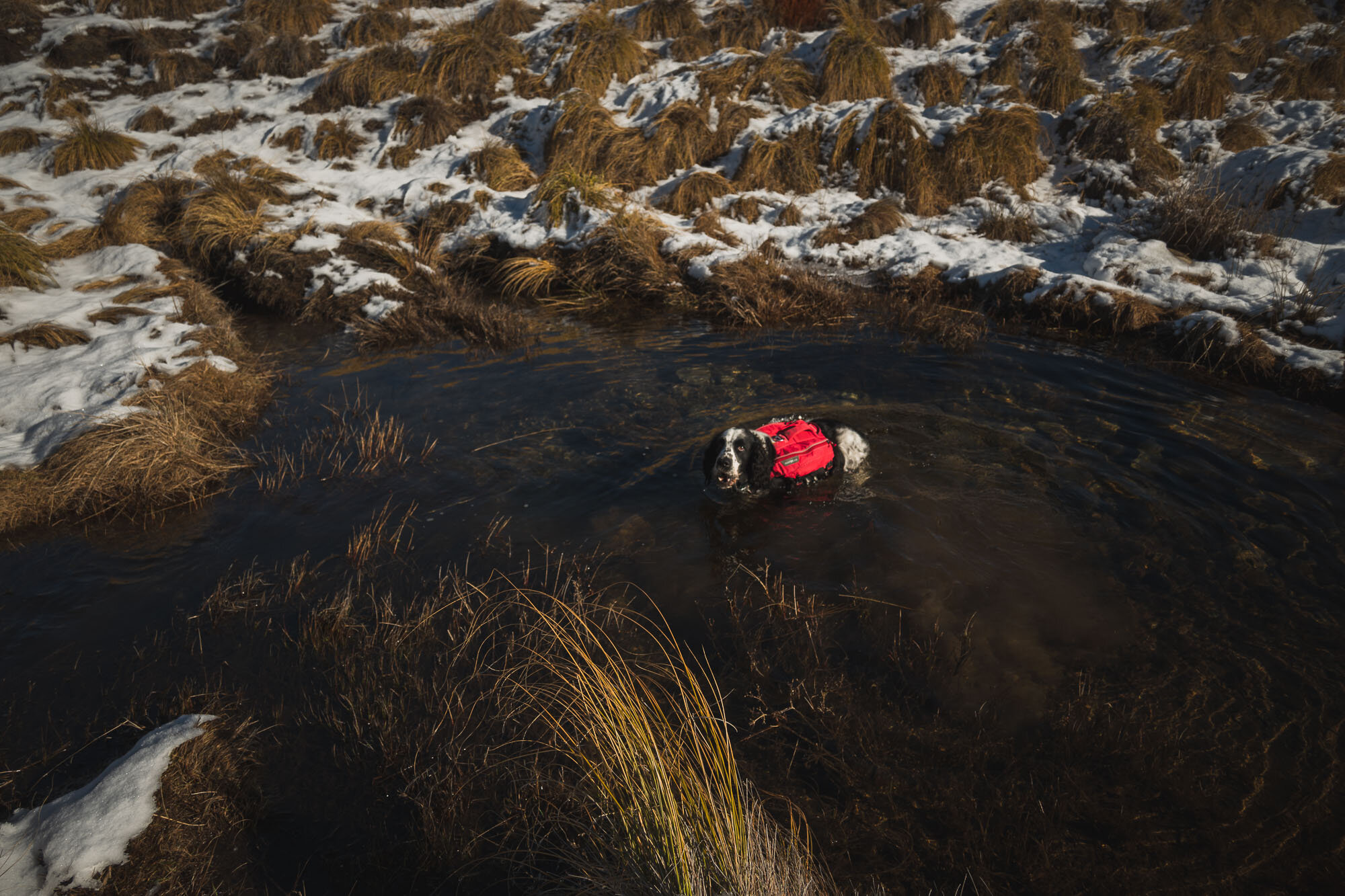
Ran into the lake only to find it was frozen solid, much to his disappointment. However, found a spring to jump into further along. Must have been freezing cold in there…

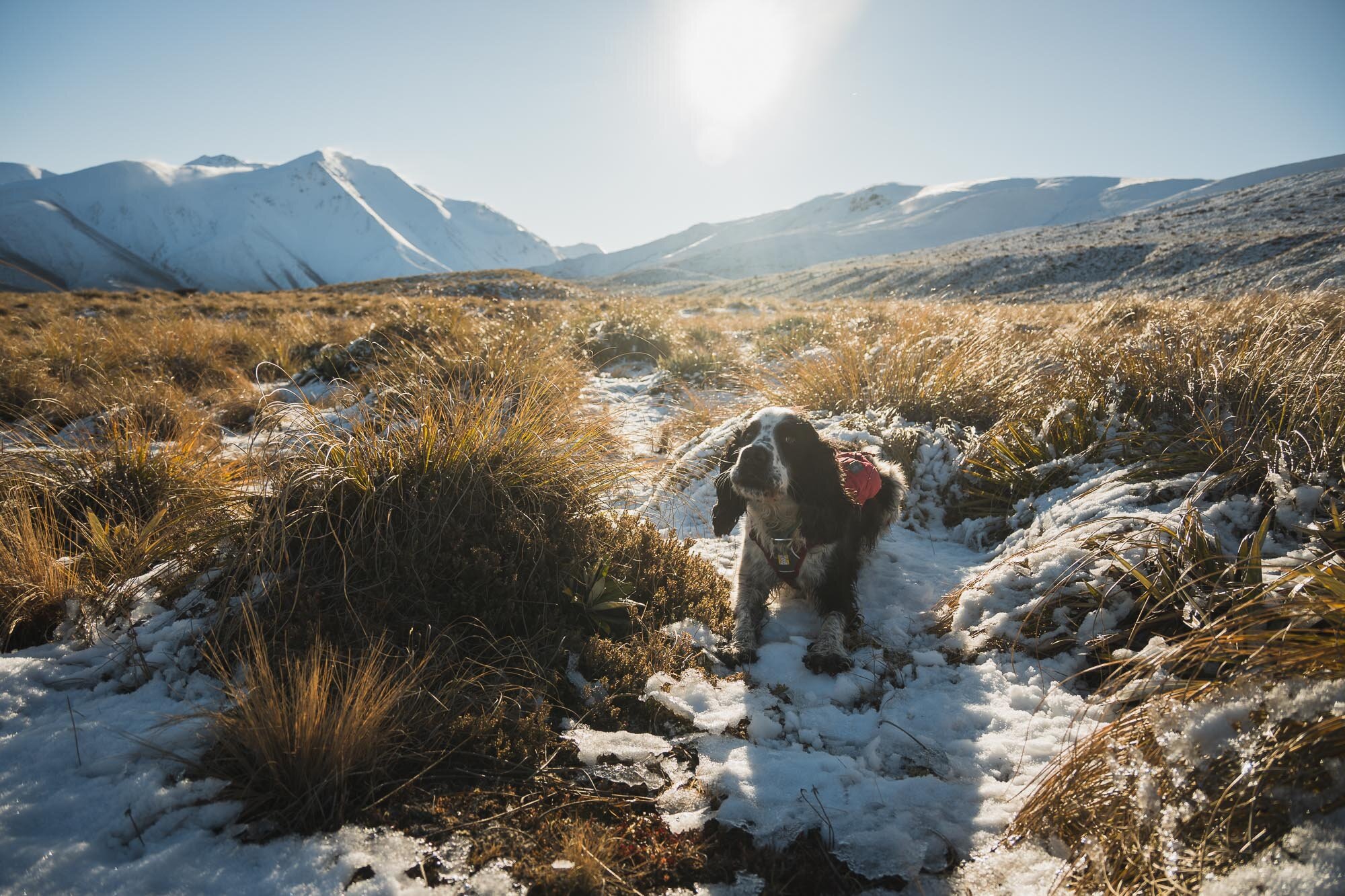
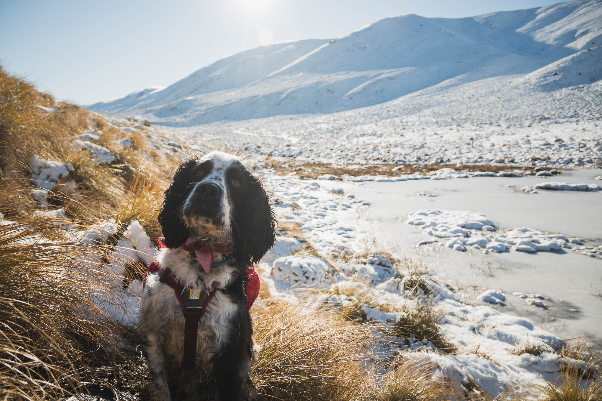
All the puddles were completely ice - as is dry underneath. Just Ice. Very slippery.

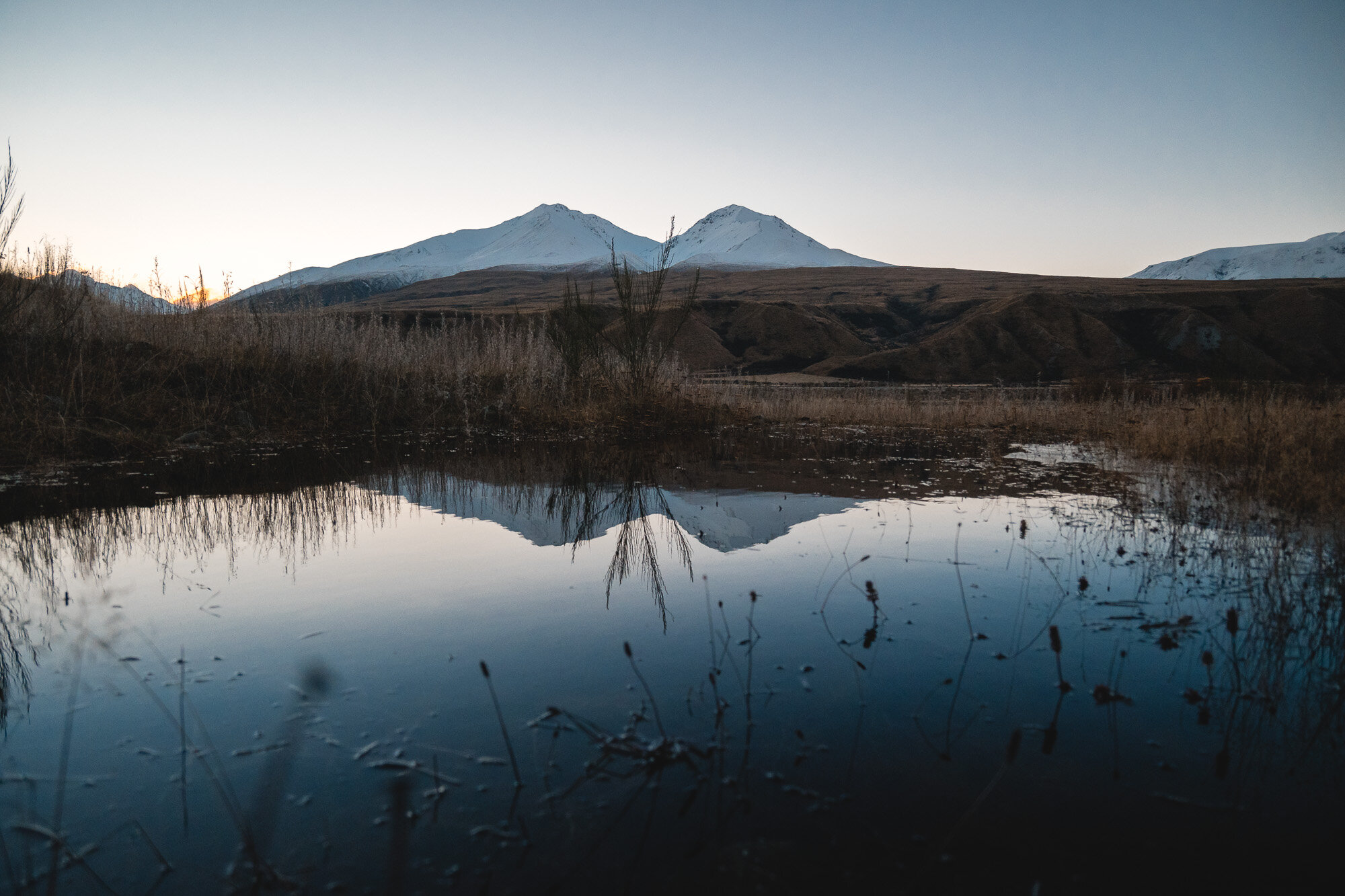
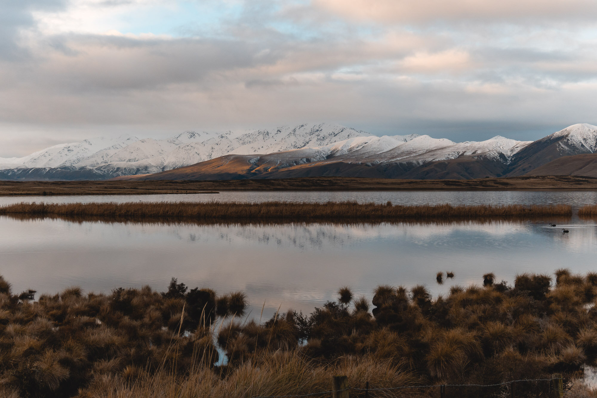
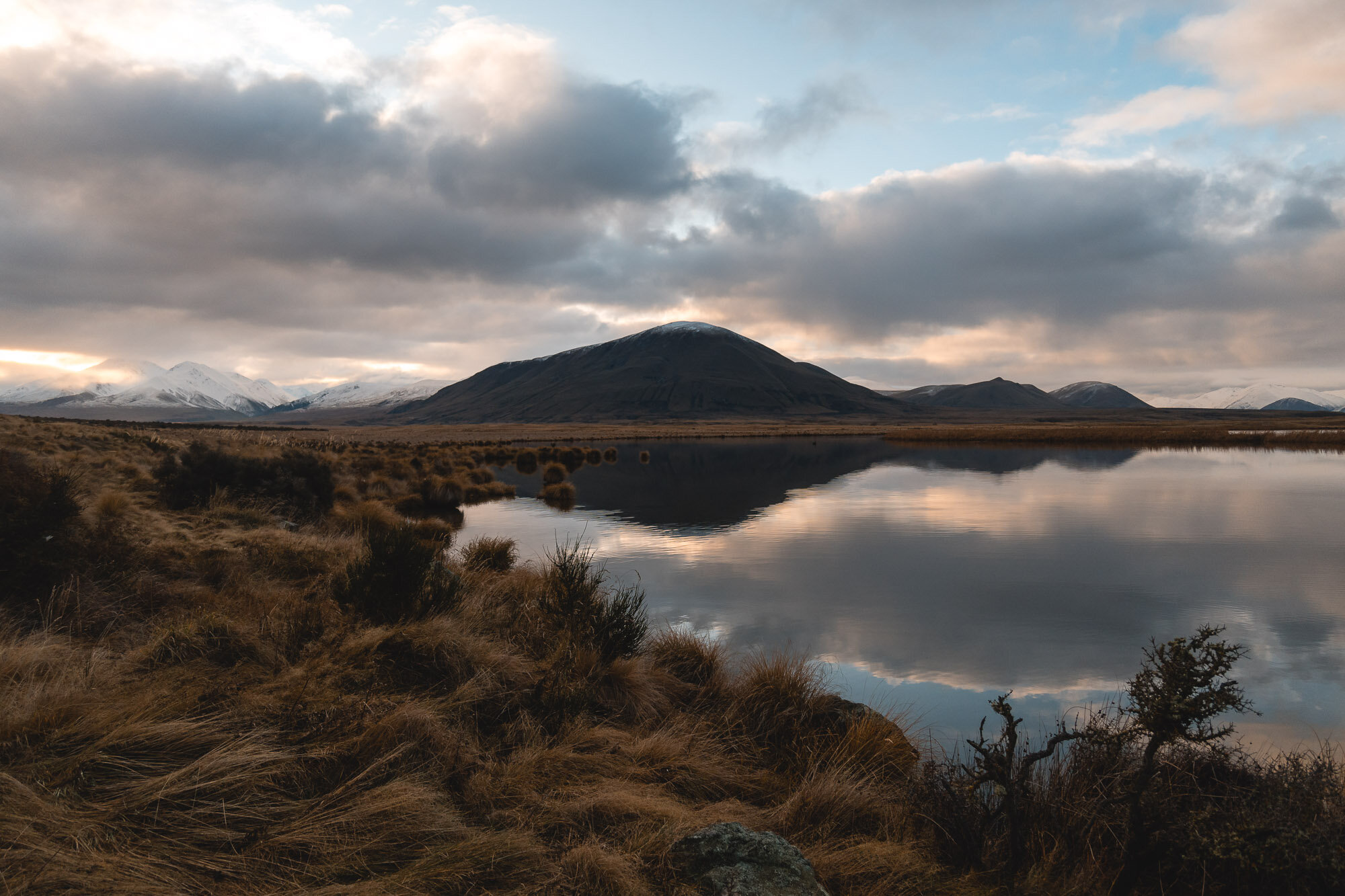
Stunning sunset over the golden grasses.
Handsome dog doing all the sunset posing.
Sun goes down and we’re treated to those Popsicle Splash evening skies once again.
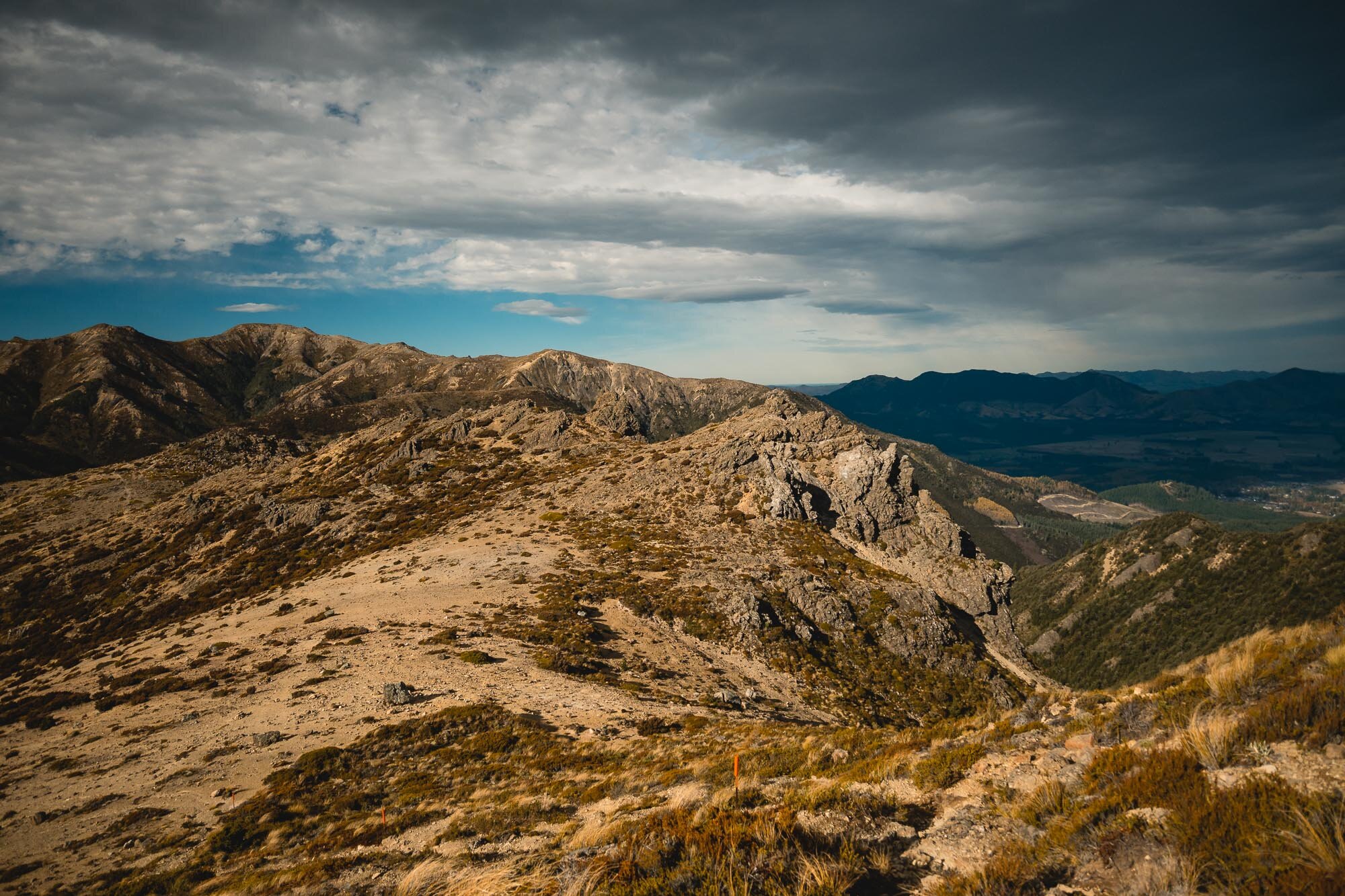
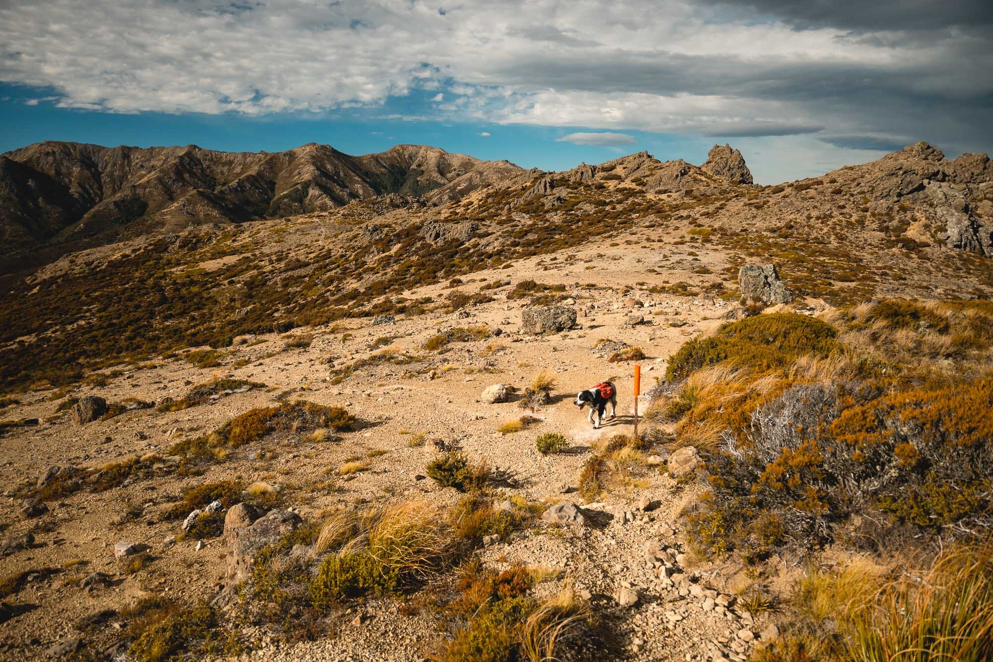
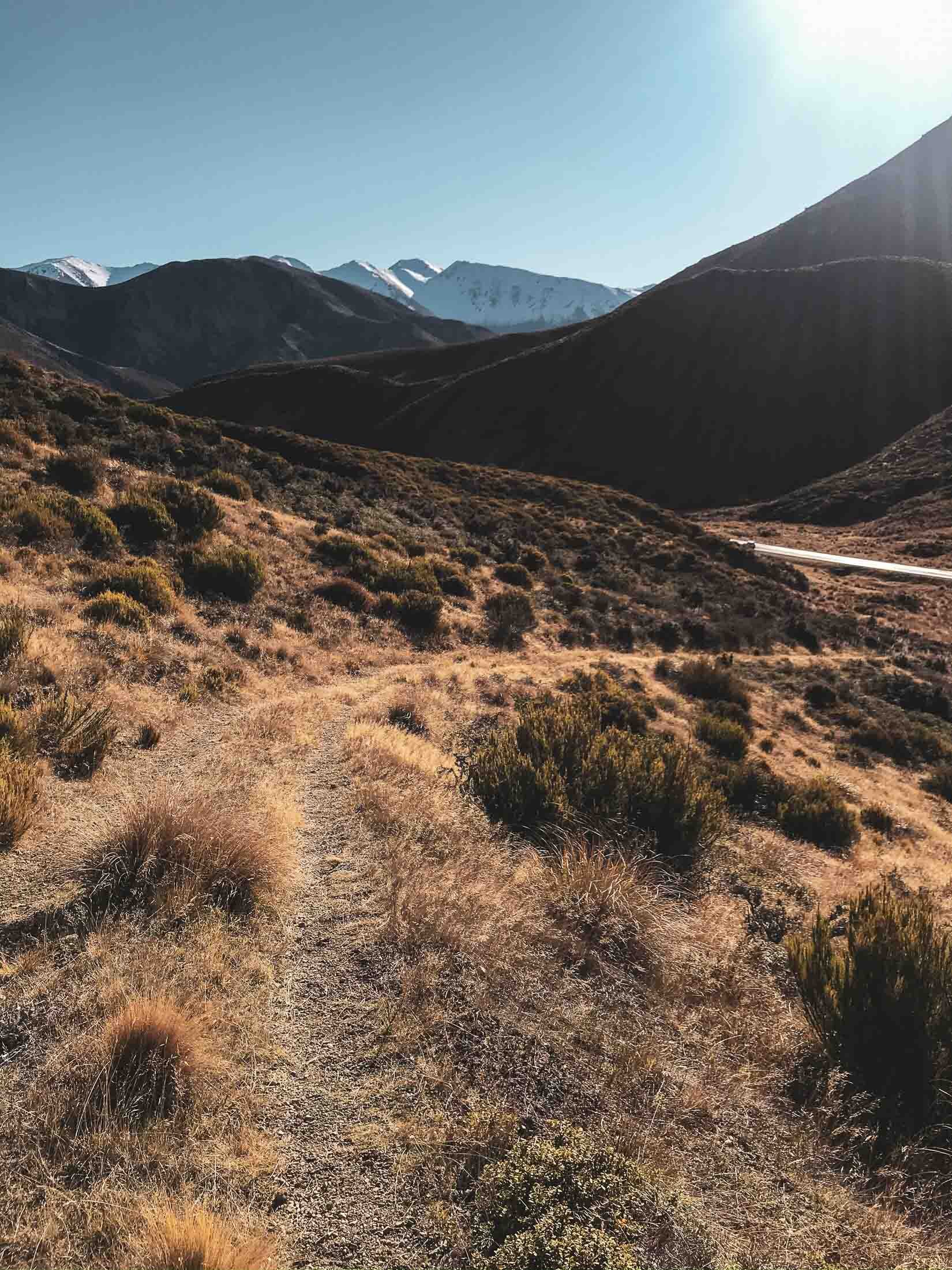
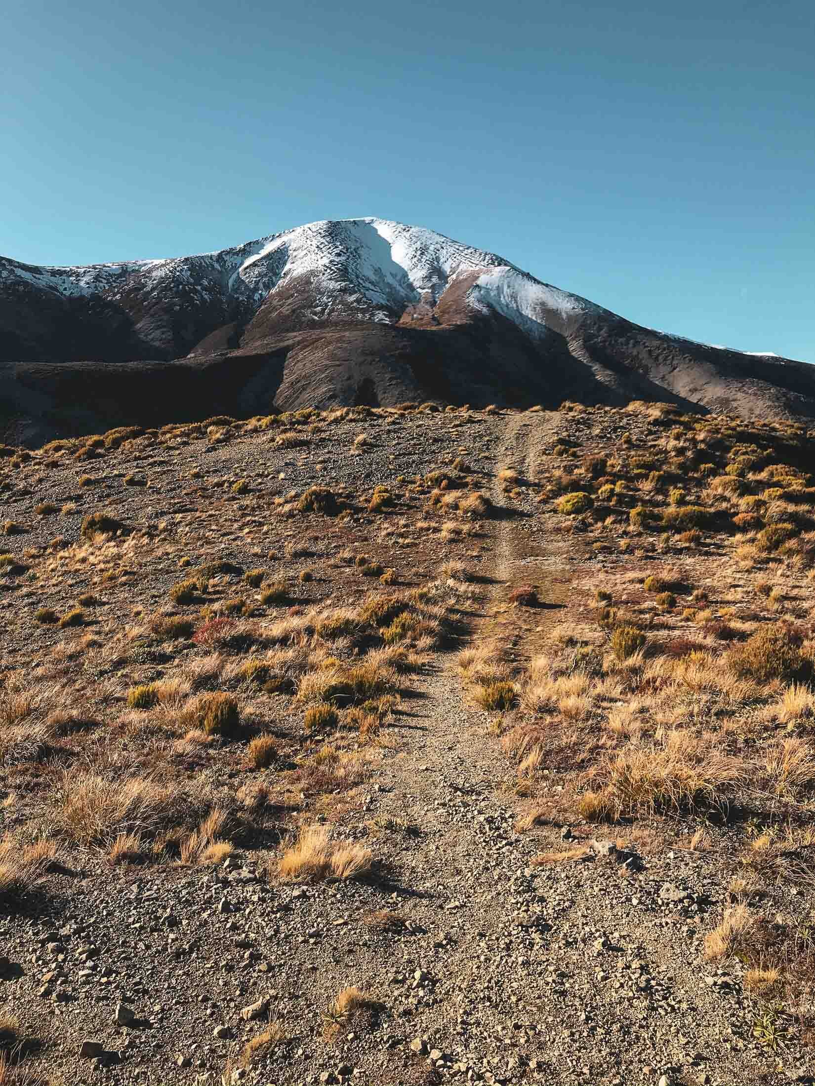
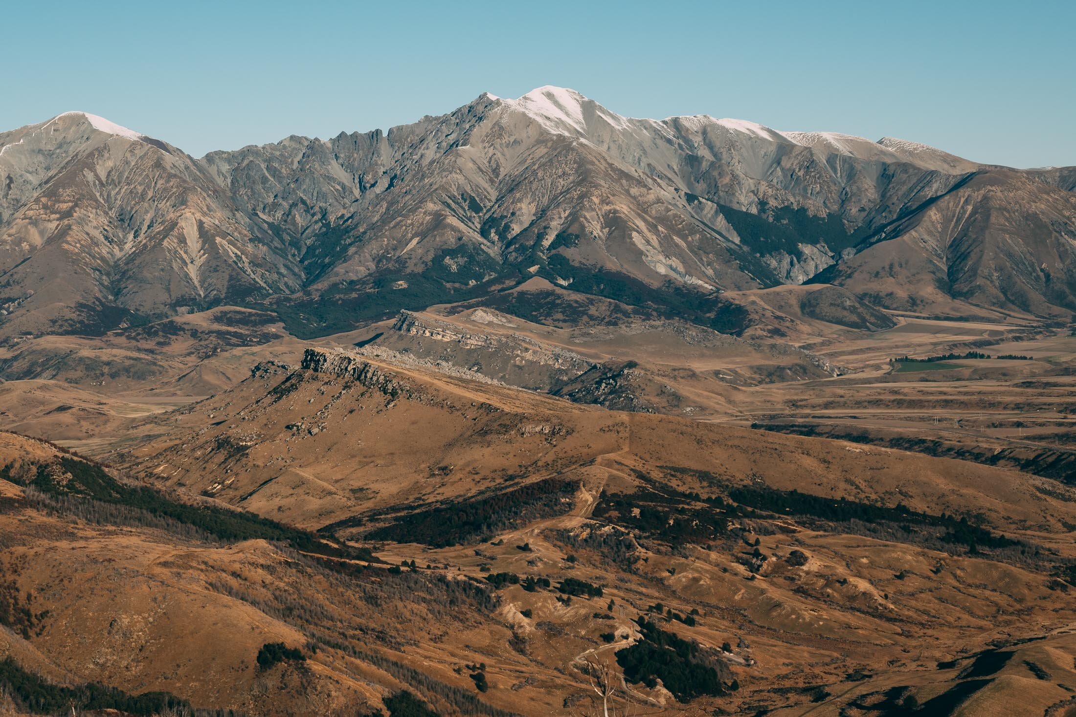
Mt Cloudsley, Canterbury, New Zealand
Mid Canterbury
6.45 Hours Return
Hard

MT CLOUDSLEY
MID CANTERBURY
Location:
Mid Canterbury
Drive to Castle Hill, through the village, and park at the bottom of the Hogs Back track.
Time:
6.45 hours return.
Steeper, unmarked trail. With dog and photos.
Bit of snow, a wrong turn and some loose scree to deal with.
Difficulty.
Moderate.
Dogs:
Under effective control.
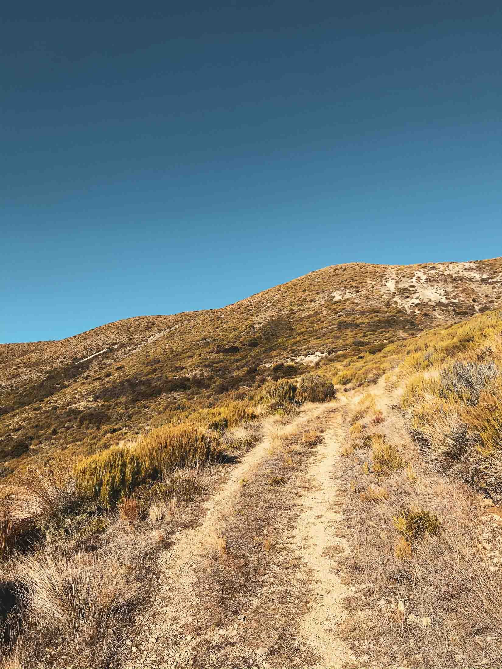
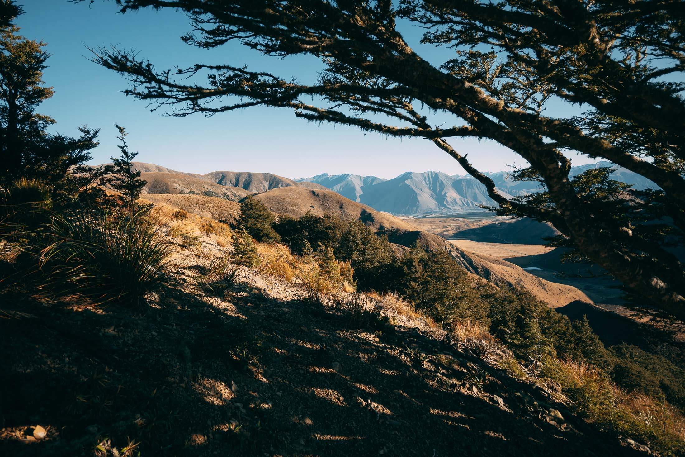
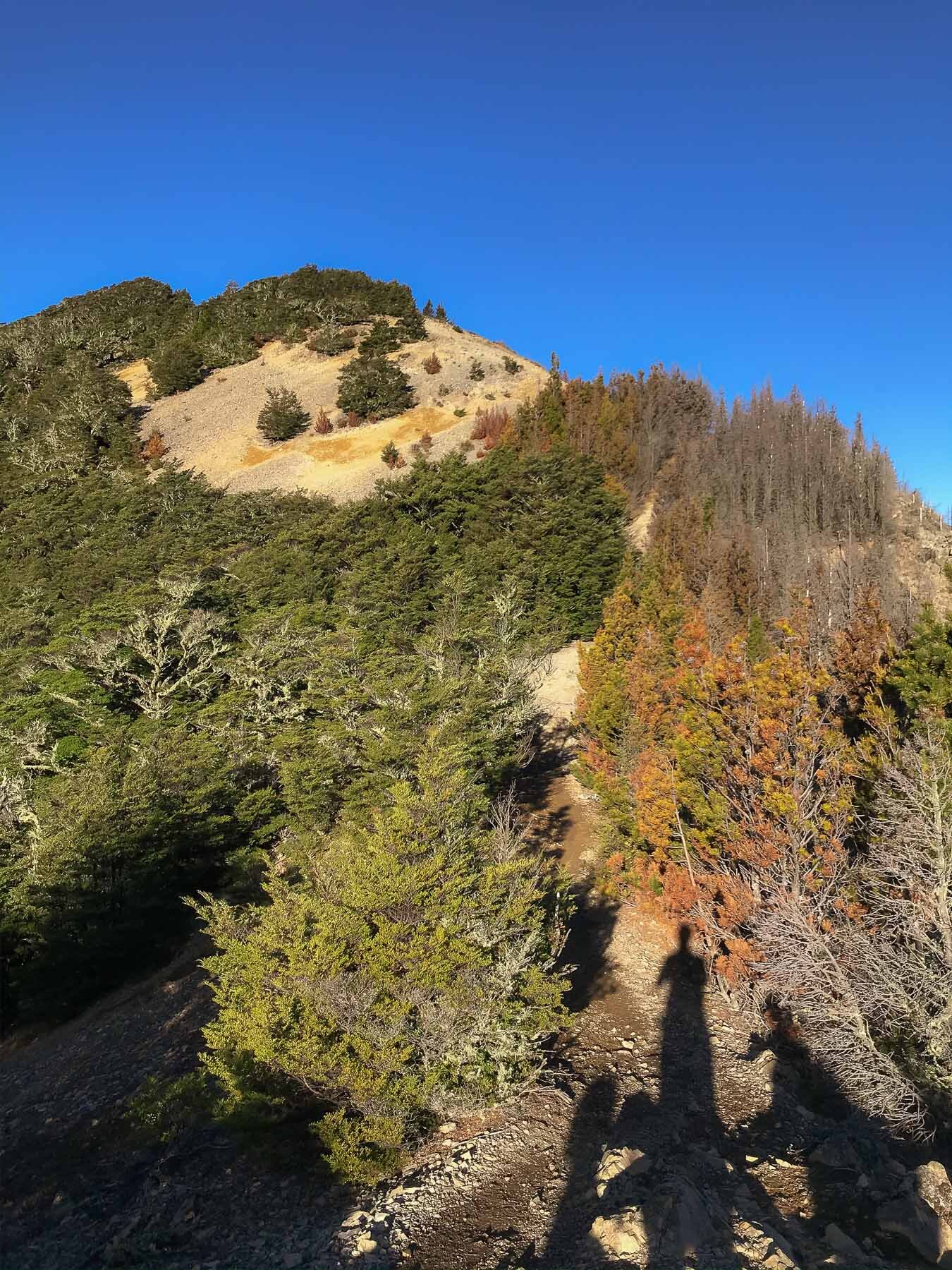
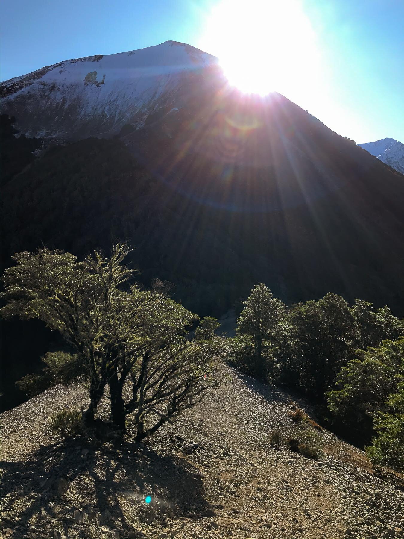
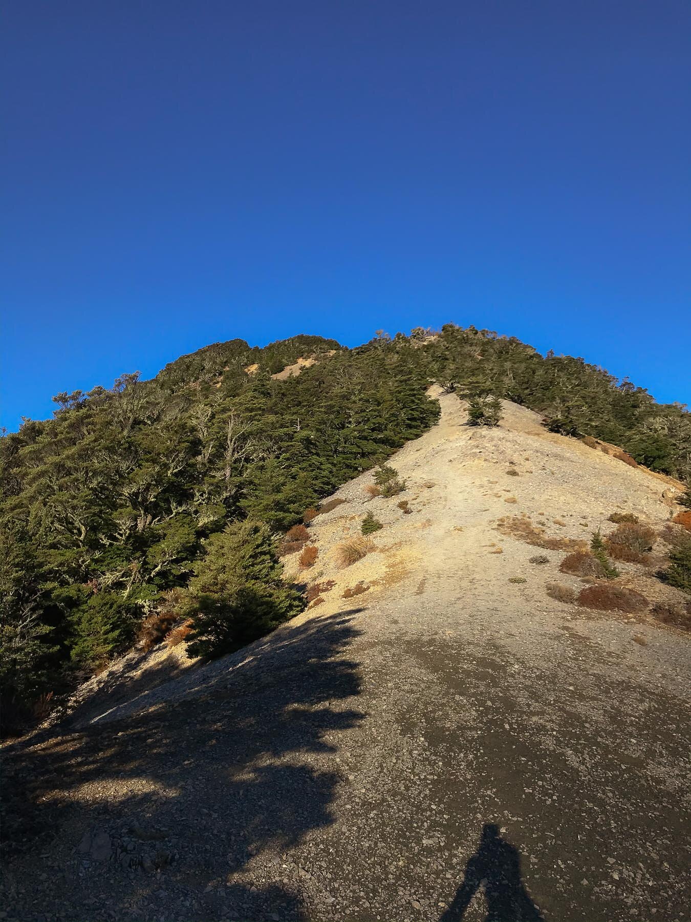
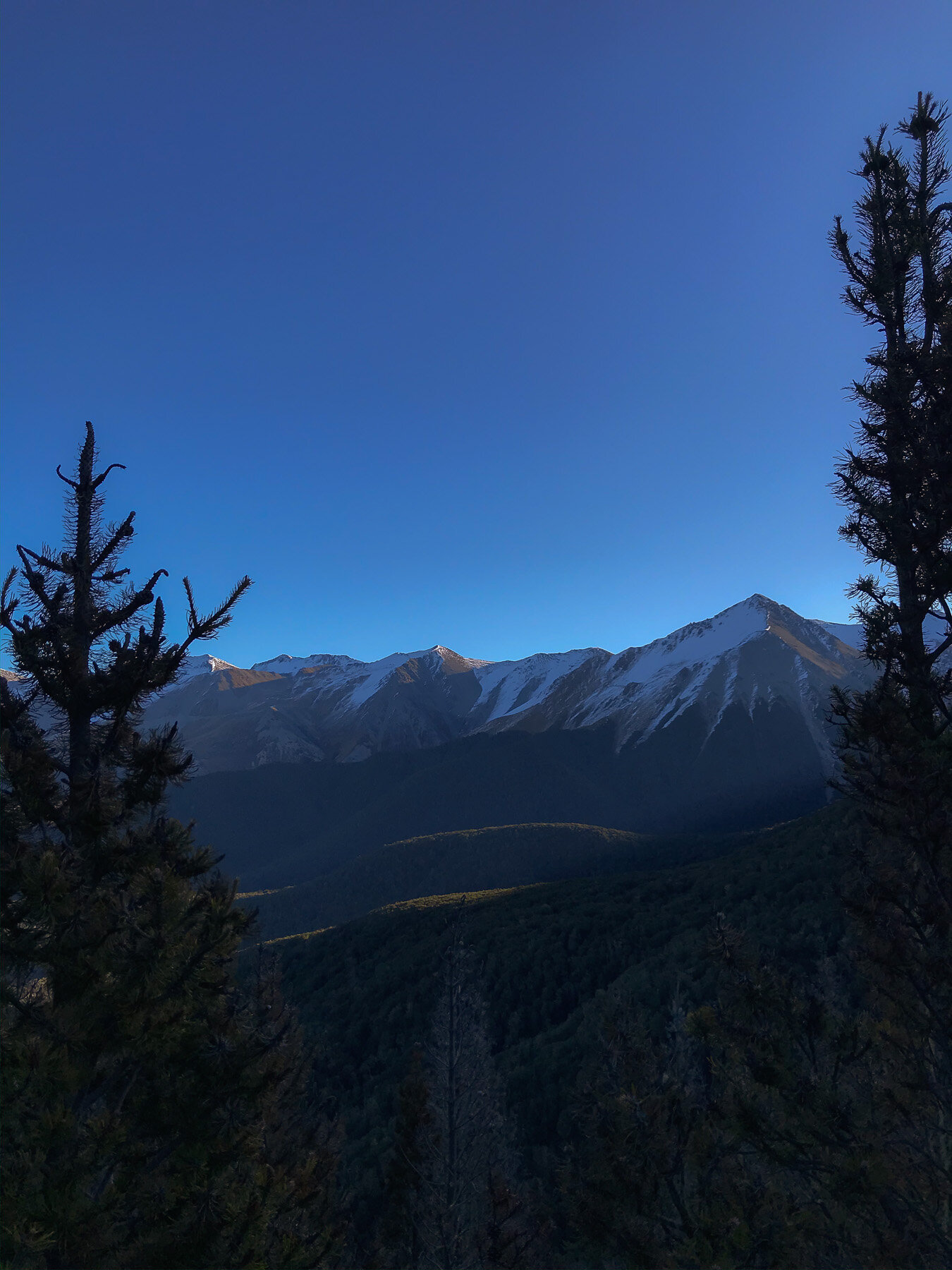
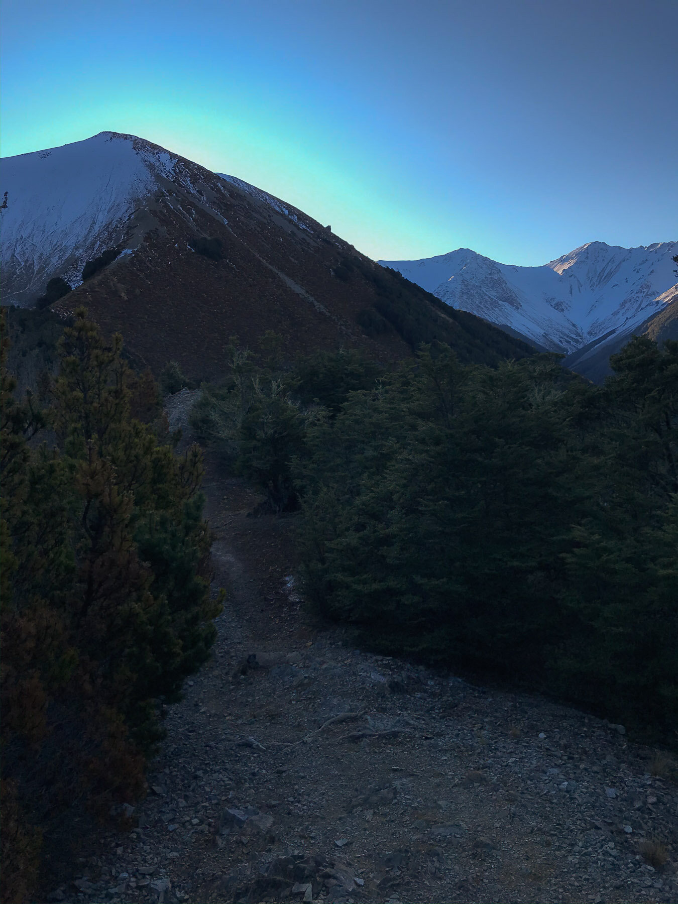
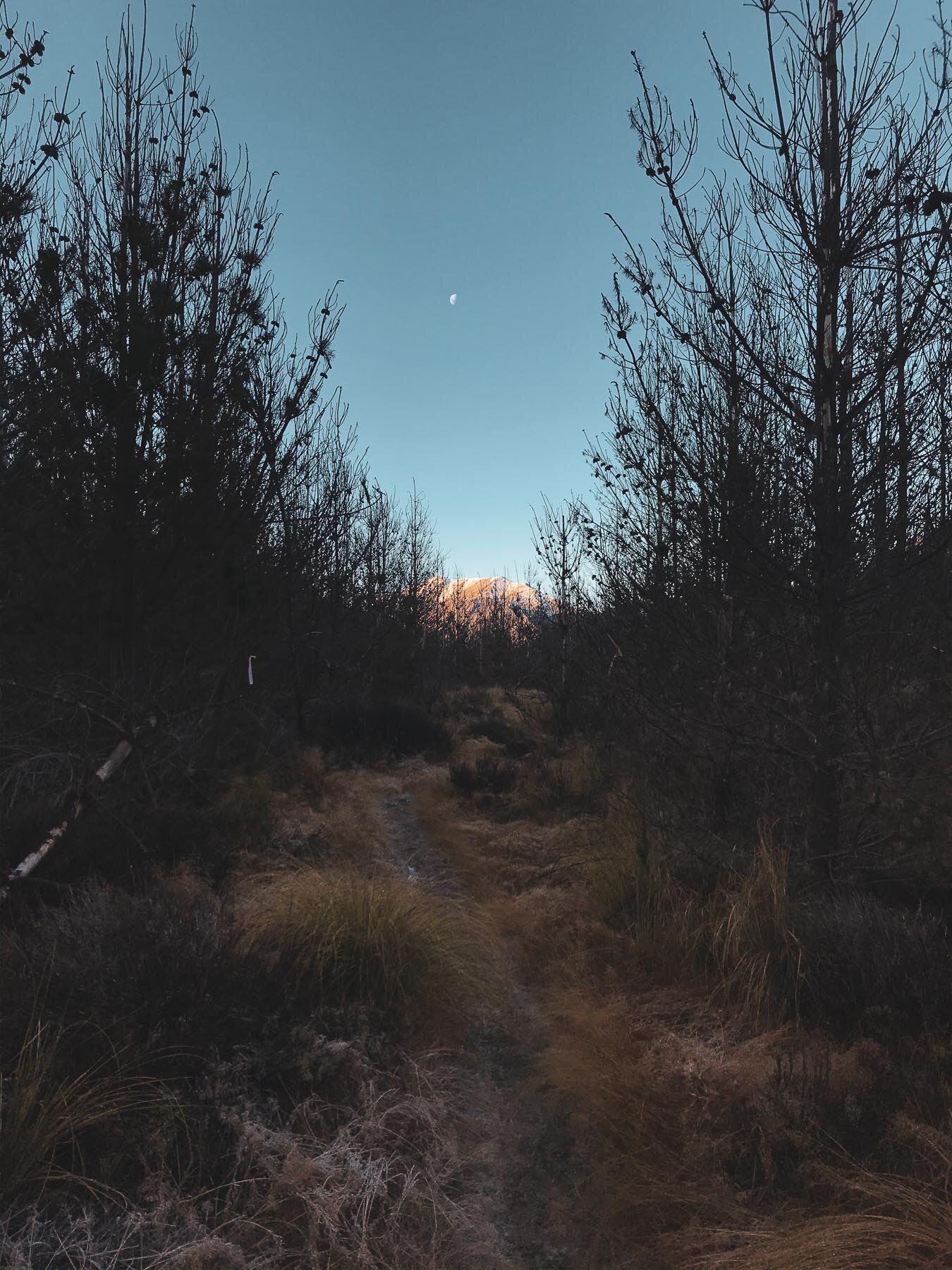
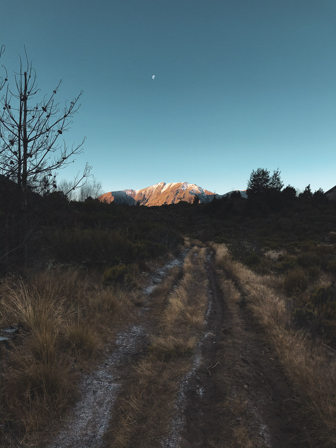
It was the middle of winter, but I could see on the Castle Hill webcams that there wasn’t too much snow on the mountain, and hiking it would still be possible. It was a beautiful clear day with no wind and the sun was pleasant. Perfect hiking conditions.
I started up the Easy Hogs Back uphill track (don’t try walking up the downhill track, you’ll get hit by a cyclist). Once I left the forest I followed the wrong track back into the forest (cos it looked like a good track) instead of following up the Long Spur track it sidled around into the valley, back into the forest, and began to lose elevation. When I realized that it was definitely not the right approach, I’d gone pretty far and didn’t want to backtrack and lose ground - so I just picked a line and went straight up. It was very steep, icy, frosty, and difficult. I would NOT recommend doing this. Just go up the spur.
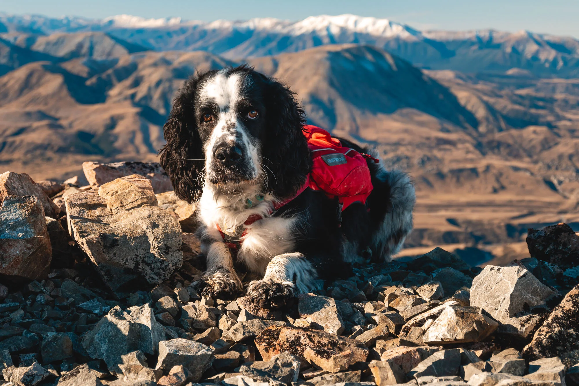
Once on the spur, the line is pretty obvious. We stopped at 1833m, just before it got too snowy.
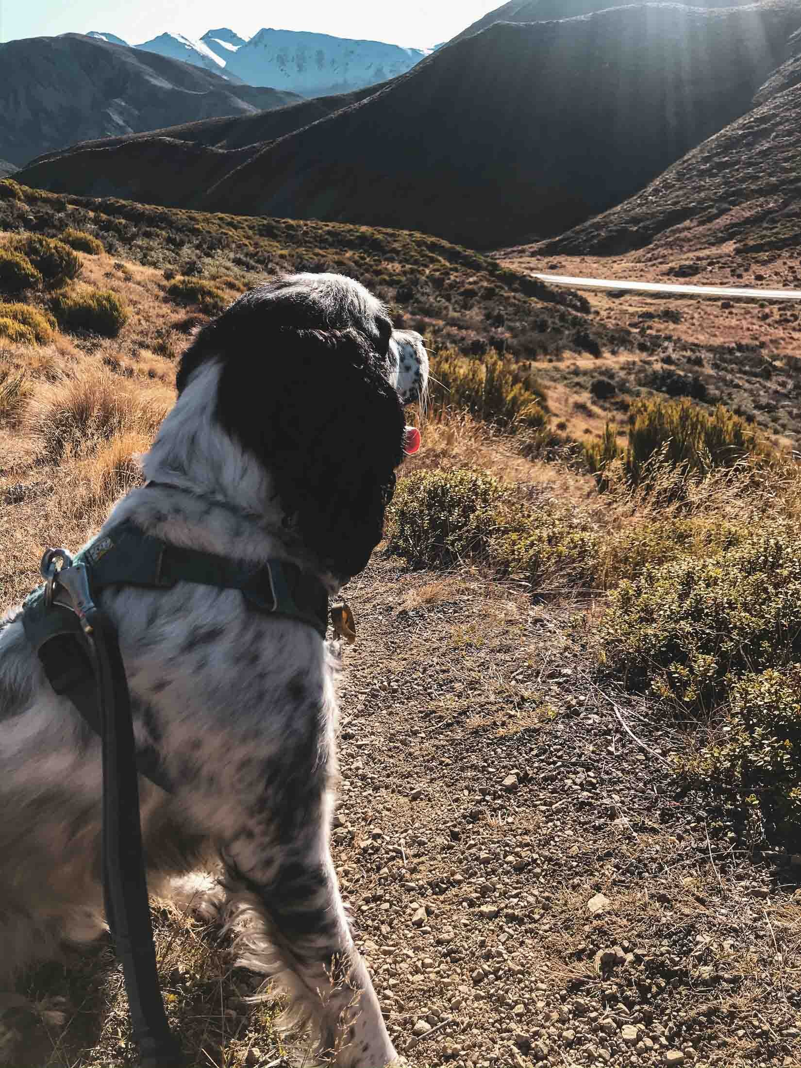
Didn’t see another person until I got back to the car. Which was good, because Charlie was barking a lot.
First up the iPhone dump, then we’ll crack into the Z50 photos.


Charlie is ready to go, or ready to start barking. Hard to tell.


The many handsome poses of Charles.


The snow was simultaneously soft yet very slippery.


A bit of light and shadow play on the rocks.


Beautiful sunset light.

Beautiful Popsicle Splash last light skies in the mountains.
Gunns Bush, Canterbury, New Zealand
Waitaki District
1.5 Hours Return
Easy

GUNNS BUSH
WAITAKI DISTRICT
Location:
Waimate
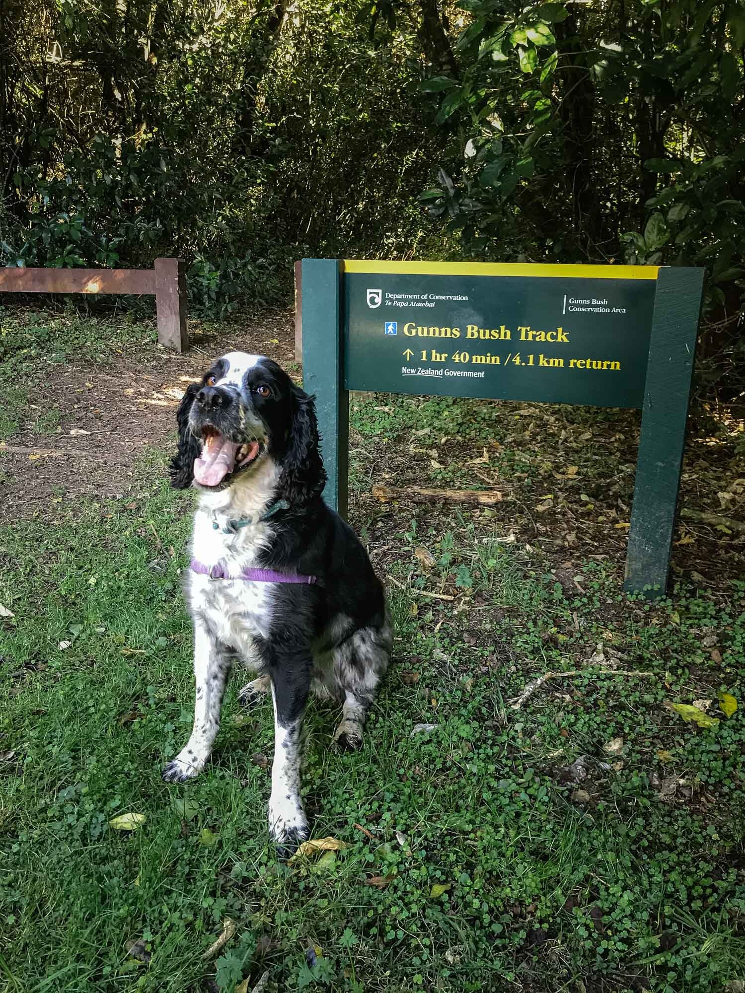
10 km northwest of Waimate - can be found on Google Maps under ‘Gunns Bush Track’.
Time:
1.5 hours return.
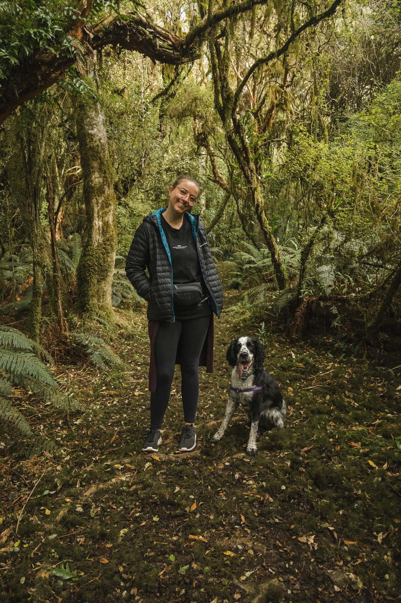
Easy loop track. With dog, wife and photos.
One little steep part, everything else ok.
Difficulty.
Easy.
Dogs:
Under effective control.
As we made our way home through the Waitaki, we wanted to stop somewhere to stretch the legs and walk the dog. This spot sounded great. Not too stressful and easy to get to, without having to go too far from the main road.
As far as scenery goes, once you’re in the bush, there are no vantage points. Only at one stage could I see through the canopy, it was that dense. It’s all green in there, carpeted with moss which is probably great for the dog’s paws, and there’s a stream down there as well for them to play in.
Enjoy some jungle snaps for a change.
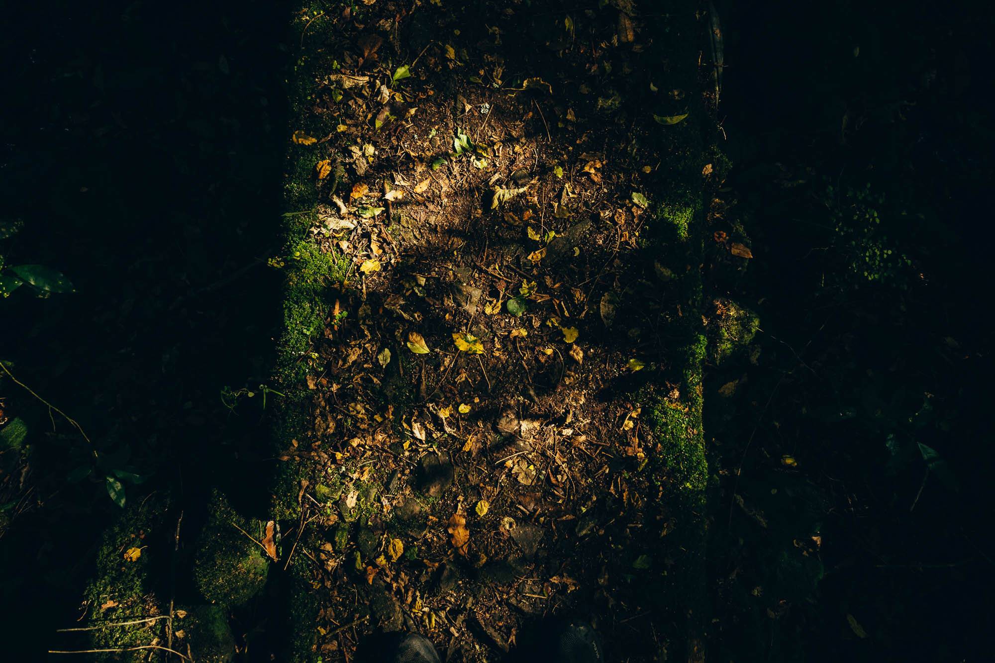
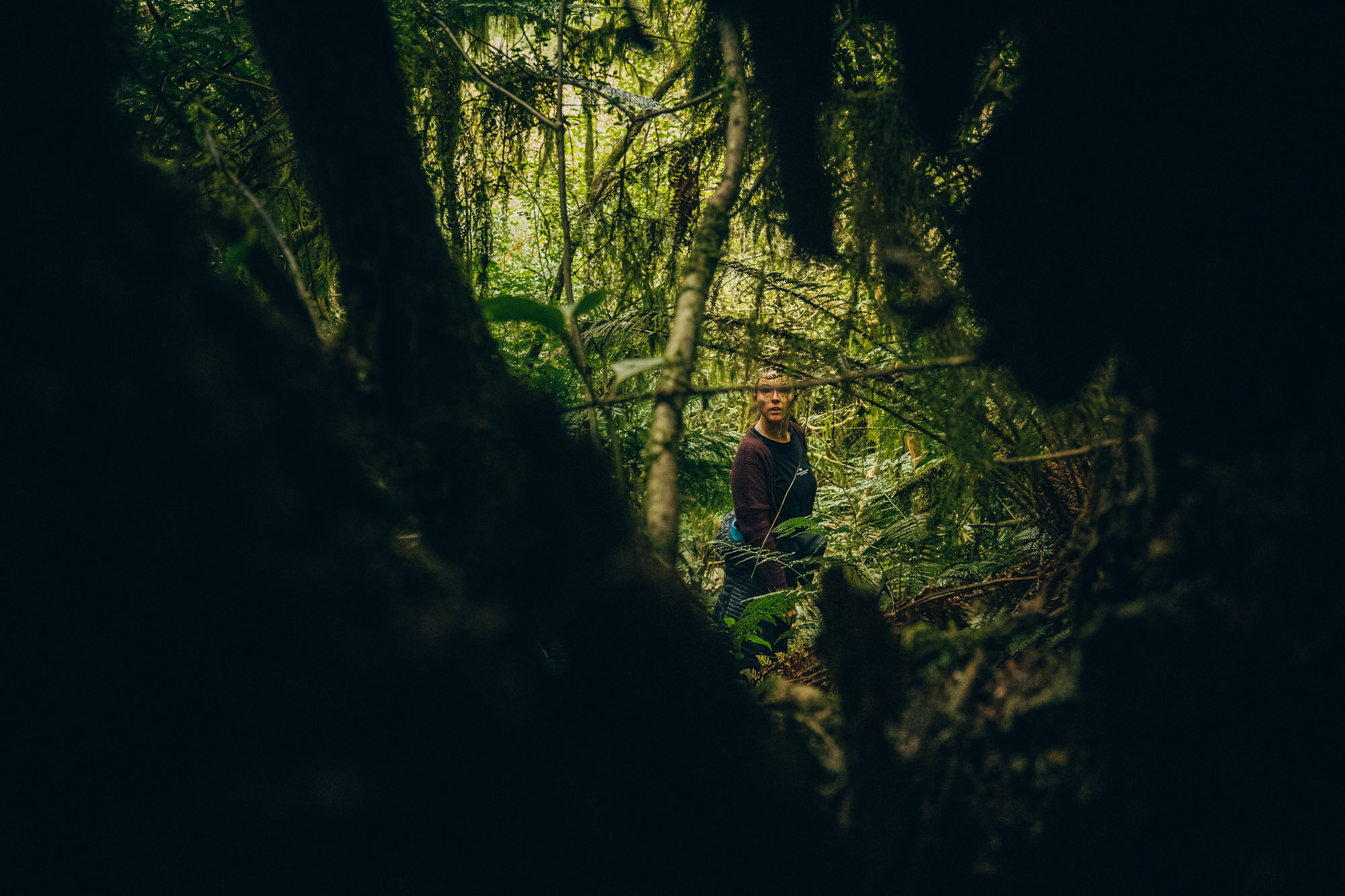
Dark forest and dappled light makes for some interesting imagery.
Ferns everywhere and plenty of spots for the dog to hide.


All sorts of interesting trees and fauna about, if you’re into that kinda thing.
Charlie finding the spotlight.

The only spot where you could see through the canopy.

The Hunters Hills, as seen from the road out.
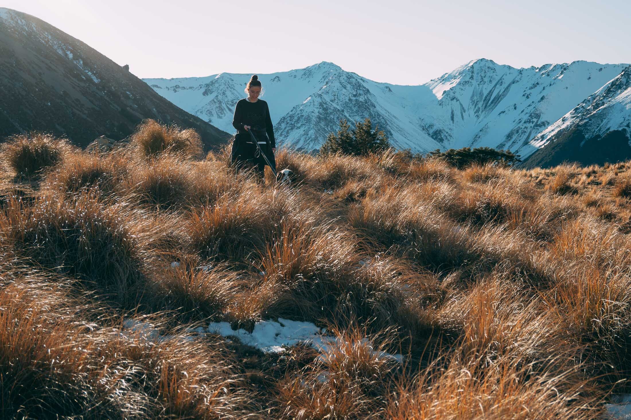
Mt Dumblane, Canterbury, New Zealand
North Canterbury
2.5 Hours Return
Easy

MT DUMBLANE
NORTH CANTERBURY
North Canterbury
Easiest way to do it is to park at the top of Jacks Pass, there’s a poled route to the west (opposite side of the road to Isobel) don’t go down the Chatterton RIver track.
Time:
2.5 hours return.
1.5 hours up, ! hour down. With dog, photos and a little stop at the top.
Difficulty.
Easy.
Dogs:
Under effective control
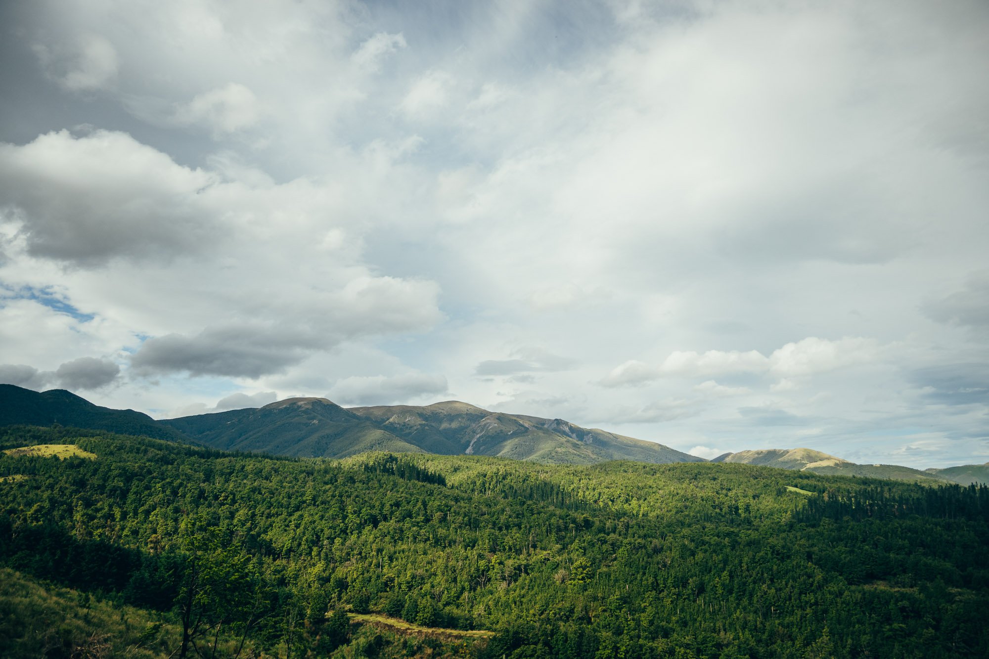
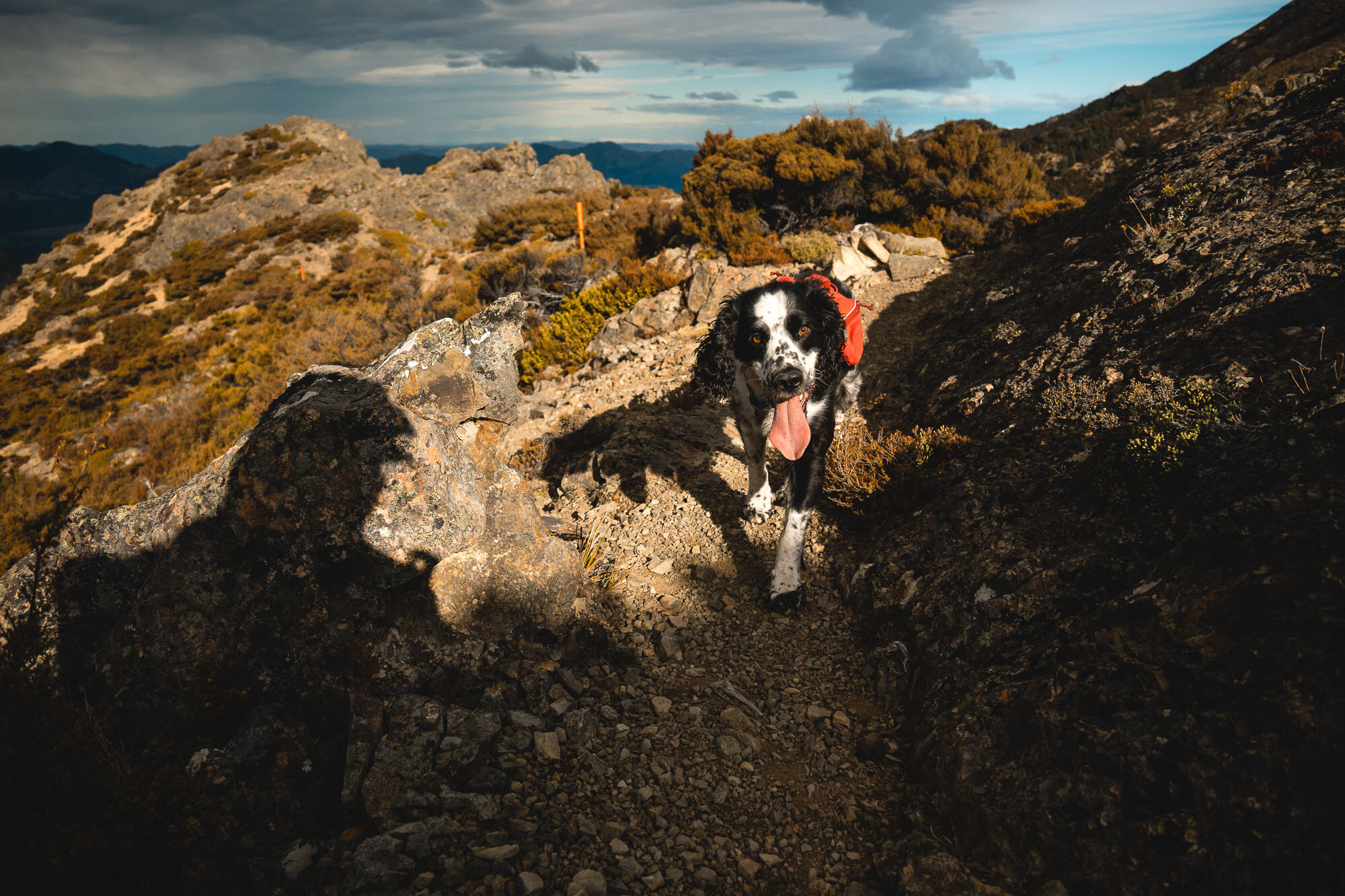
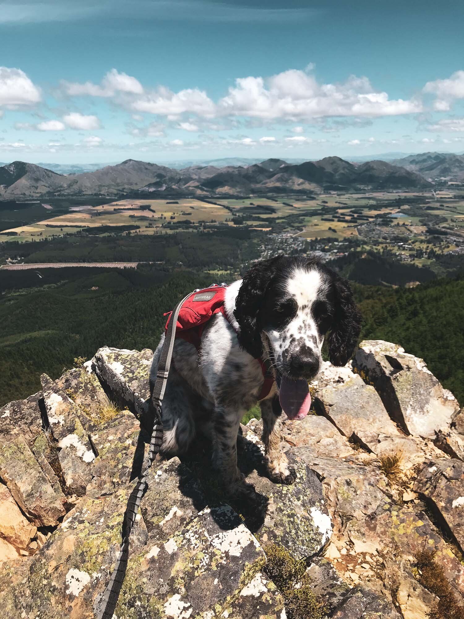
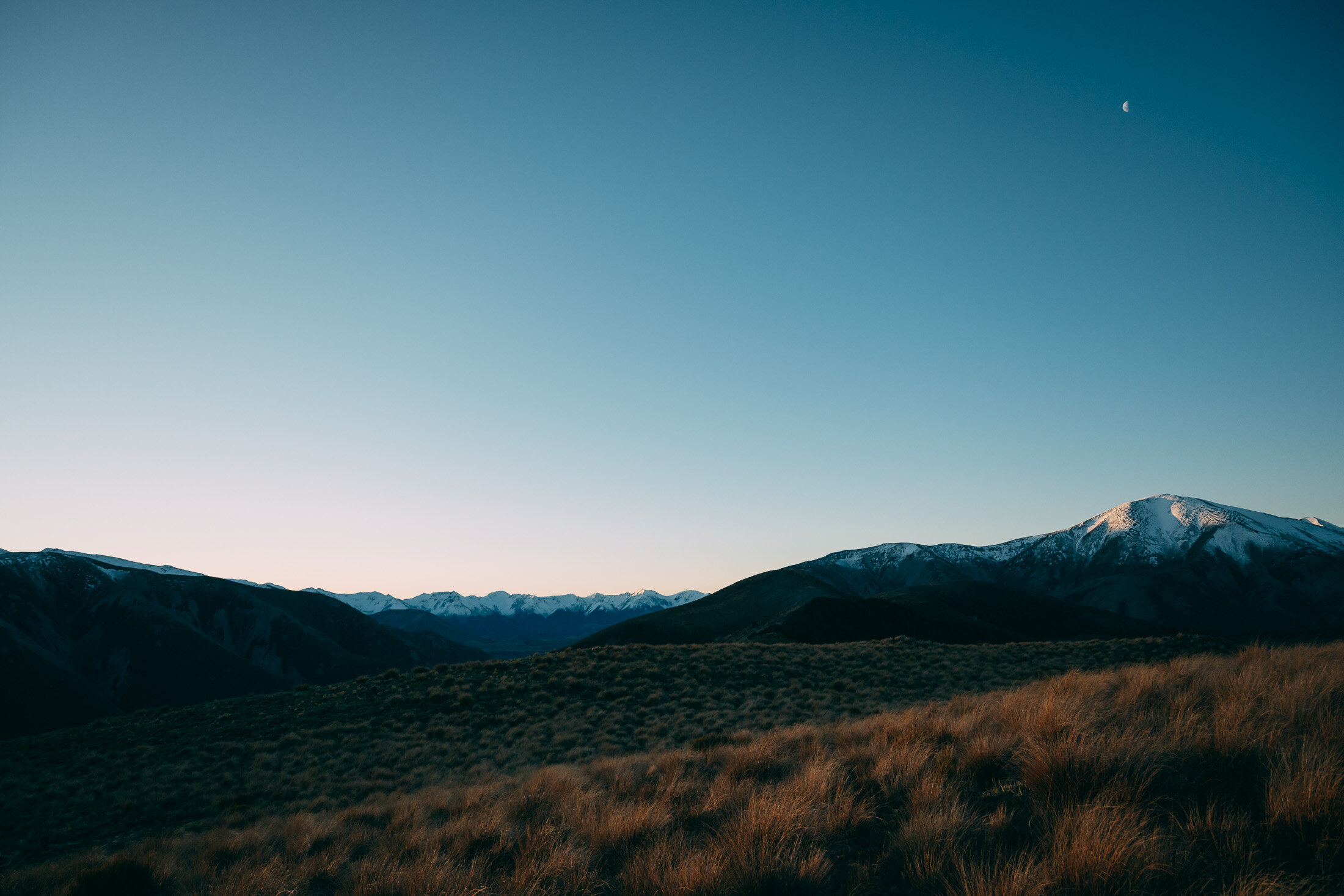
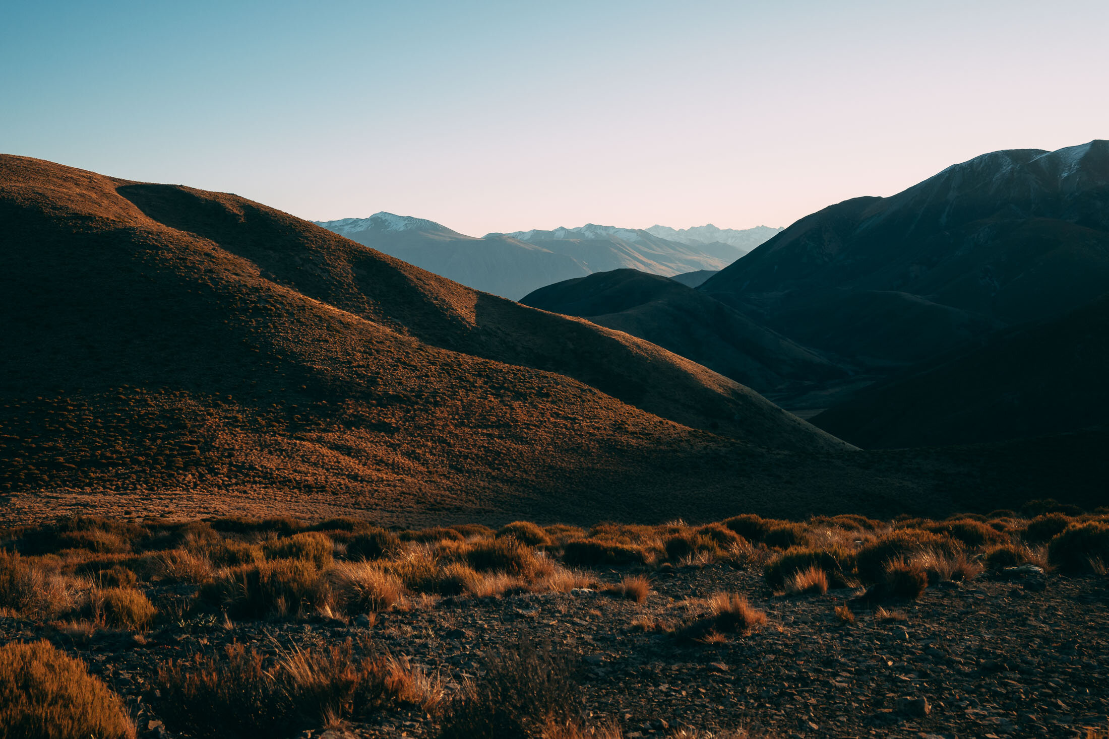
Great alternative to Mt Isobel, same great views over Hanmer Springs and surrounds. Weather was clear but extremely windy, and some darker clouds rolled in by the end.
Easy to follow this track for the most part, it’s new but wearing in well. We did it from Christchurch, but could definitely do it by staying in Hanmer Springs, then end the day with a few cold ones in town followed by a soak in the pools. That’d be the way to do it.
Starting you off with iPhone images (whilst walking) and proper camera snaps from the top.


As usual Charlie barked a lot in the wind.
Views back over the Clarence Valley from a different vantage point than Mt Isobel.

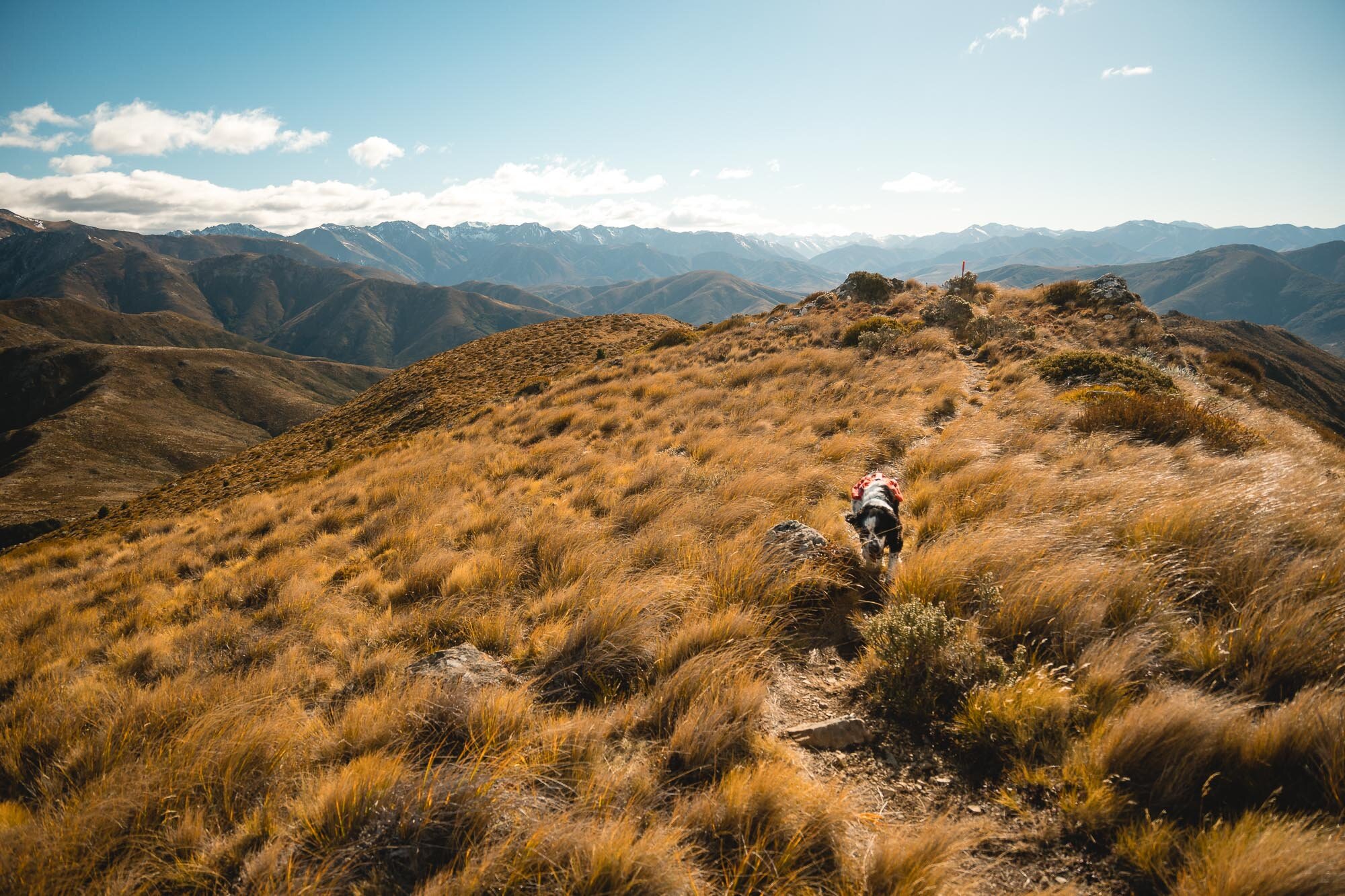
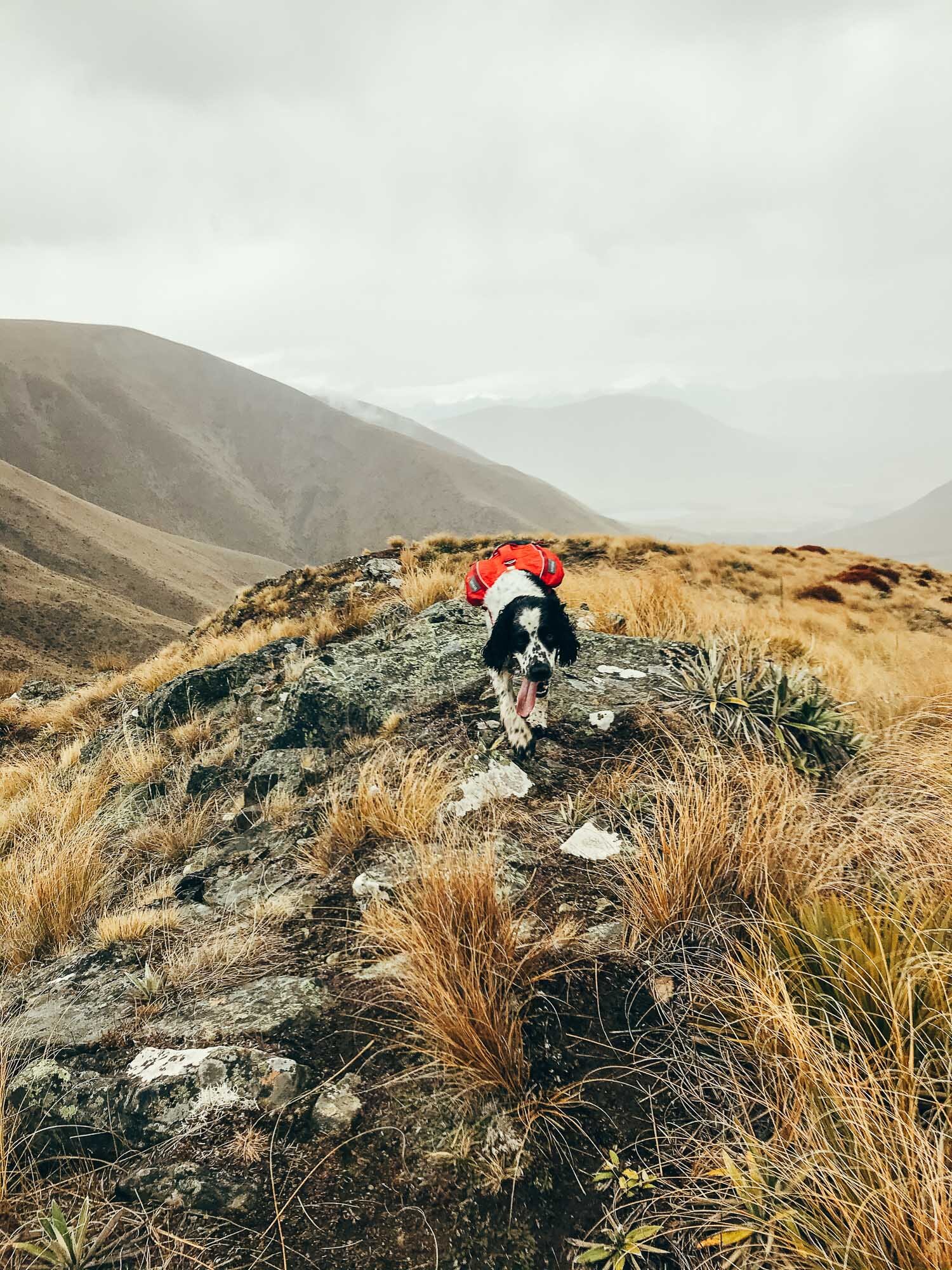
Another summit for Charlie. Pictured below wearing his Further Faster Mountain Dog Challenge Bandana,
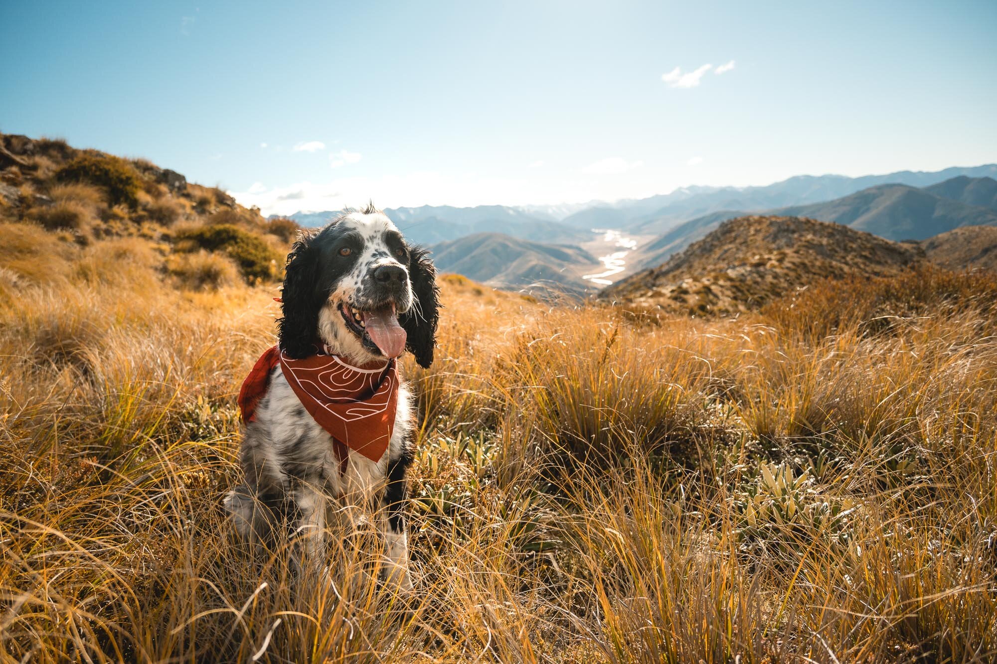
Views from the top.

Some clouds came in and started throwing shadows all over the place.


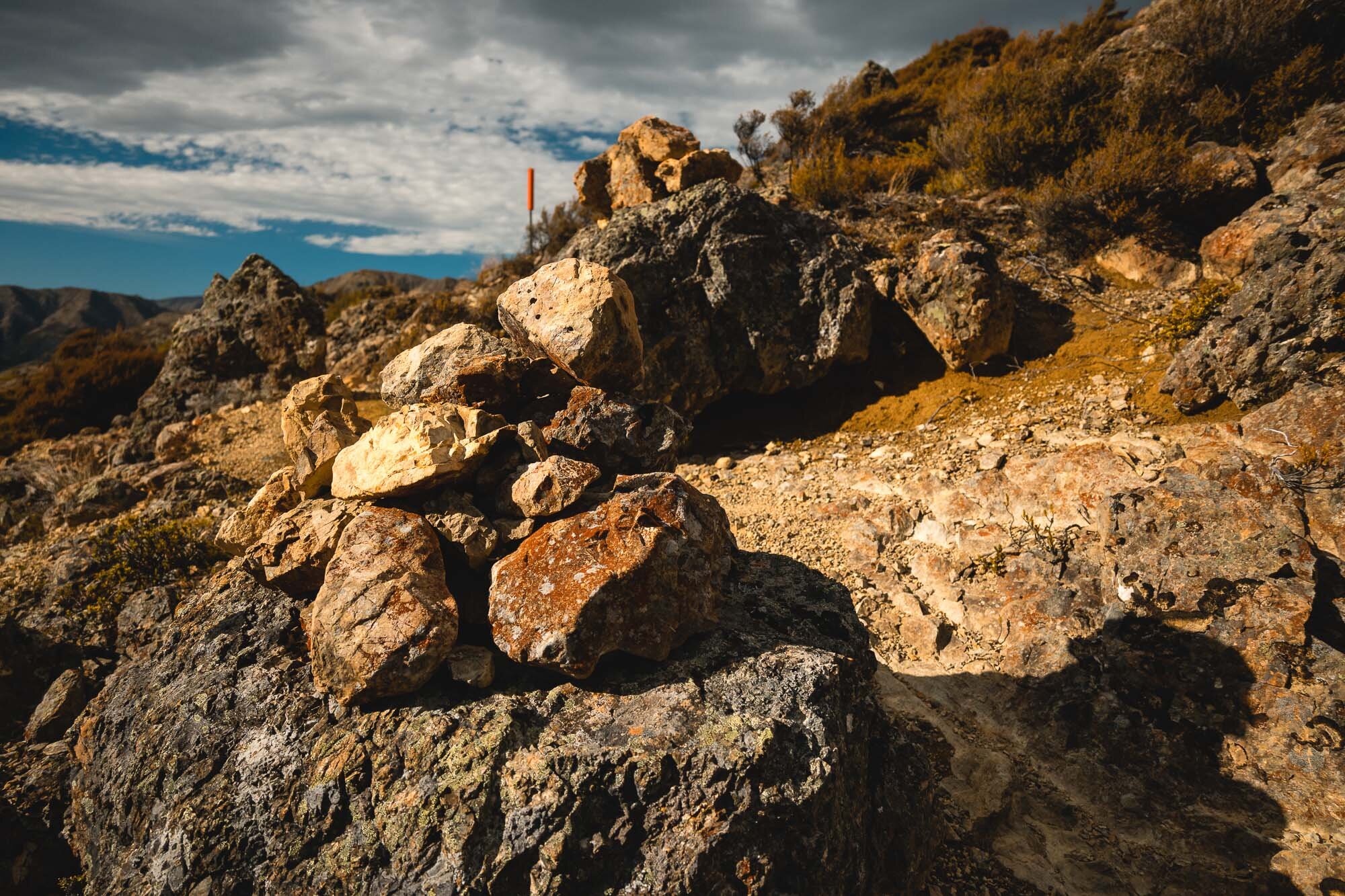
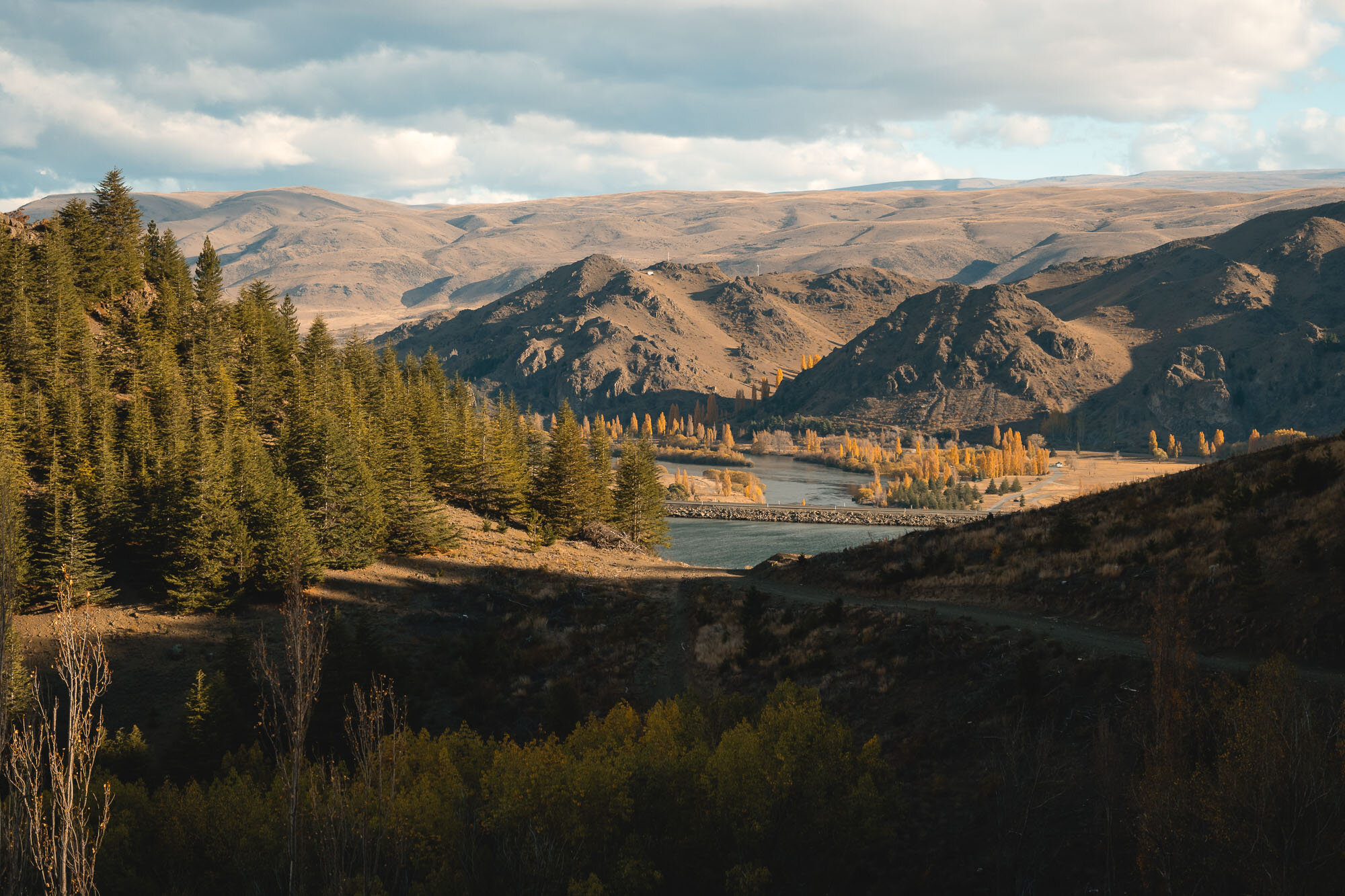
Benmore and Wetlands, Canterbury, New Zealand
Waitaki District
2 Hours Return
Easy

BENMORE & WETLANDS
WAITAKI DISTRICT
Location:
Benmore Peninsula and Lake Aviemore Wetlands, Waitaki District
Turn off SH83 to Lake Benmore at Otematata on Loch Laird Rd. Follow signs to the lookout.
Wetland walk starts in the motor camp at Otematata.
Time:
2 hours return.
1 hour up, half hour down. With dog, wife and photos.
The wetlands walk is just a stroll about. 30m maybe.
Difficulty.
Easy.
Dogs:
On leash.
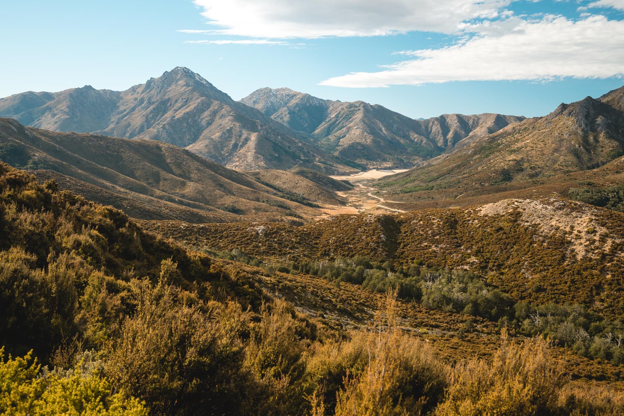
I was looking for a nice easy walk, still with great views and interesting walking after the much longer hike we did up Ben Ohau the previous day (read about that one here).
We spotted this one, and it was perfect. We took the clockwise route, which is a bit steeper on the up, but you get to the high point quicker, and the views are more open and better than if you went the other way. There’s a nice seat to sit at when you reach the summit, 360 degree views, and a great walk back down with views out to the dam and a few interesting sections.
We trundled back to Otematata after that, to do the wetlands walk.
This isn’t a hike, more of a gentle meander about, however, the autumn foliage and colours at this time of year would rival any of the more famous autumn locations.
Some really nice imagery from this spot as well, as the sunset through the yellows and oranges.

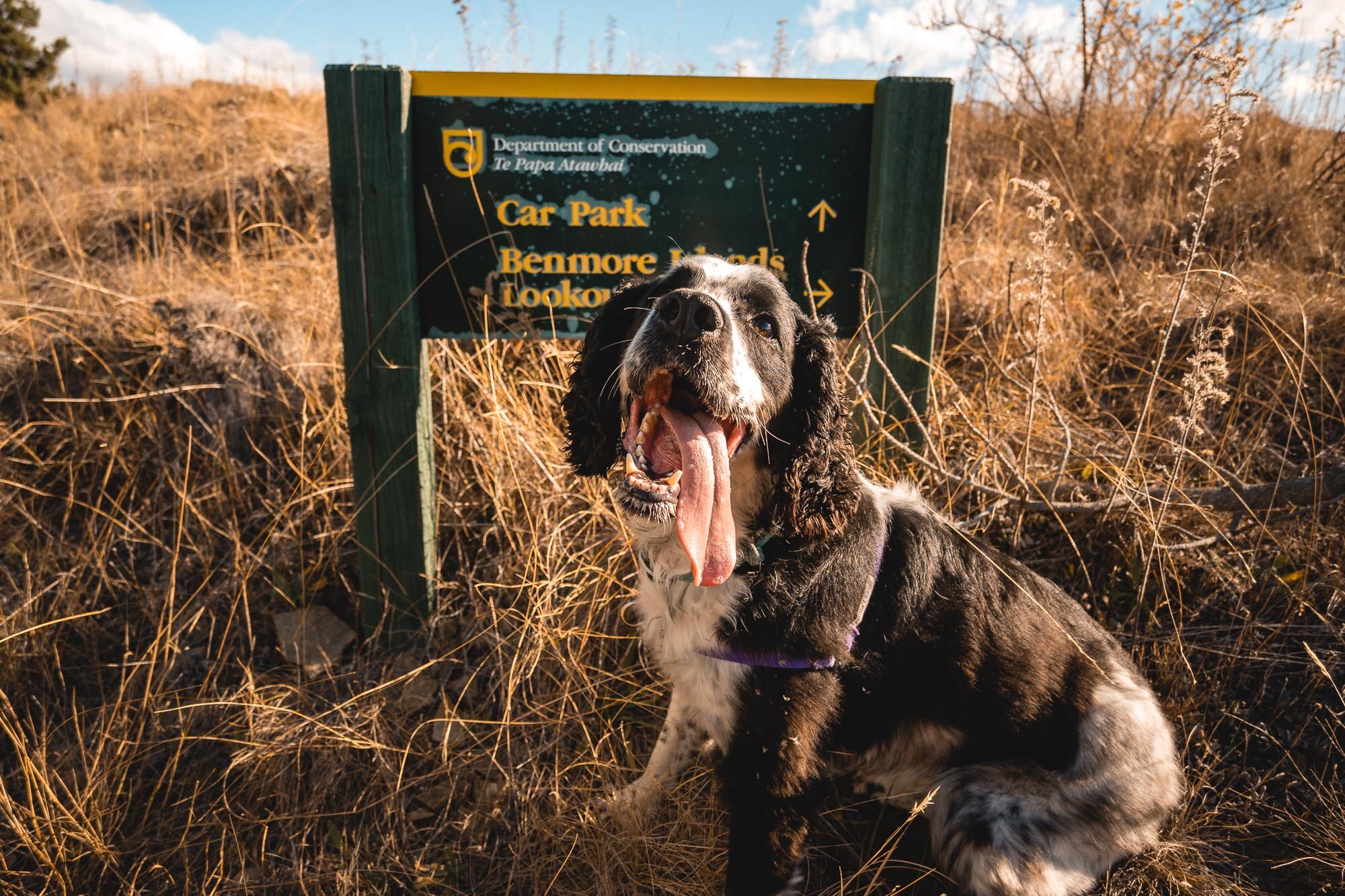

Hot day, so out comes the tongue on Charlie.

Clockwise direction give the best views and the most interesting walking.

How cute, right?

Views from the top out towards Omarama, Mt Cook, and Tekapo.

Some of the sections that haven’t been forested add a bit of interest to the walk.

Gosh that’s a handsome dog.
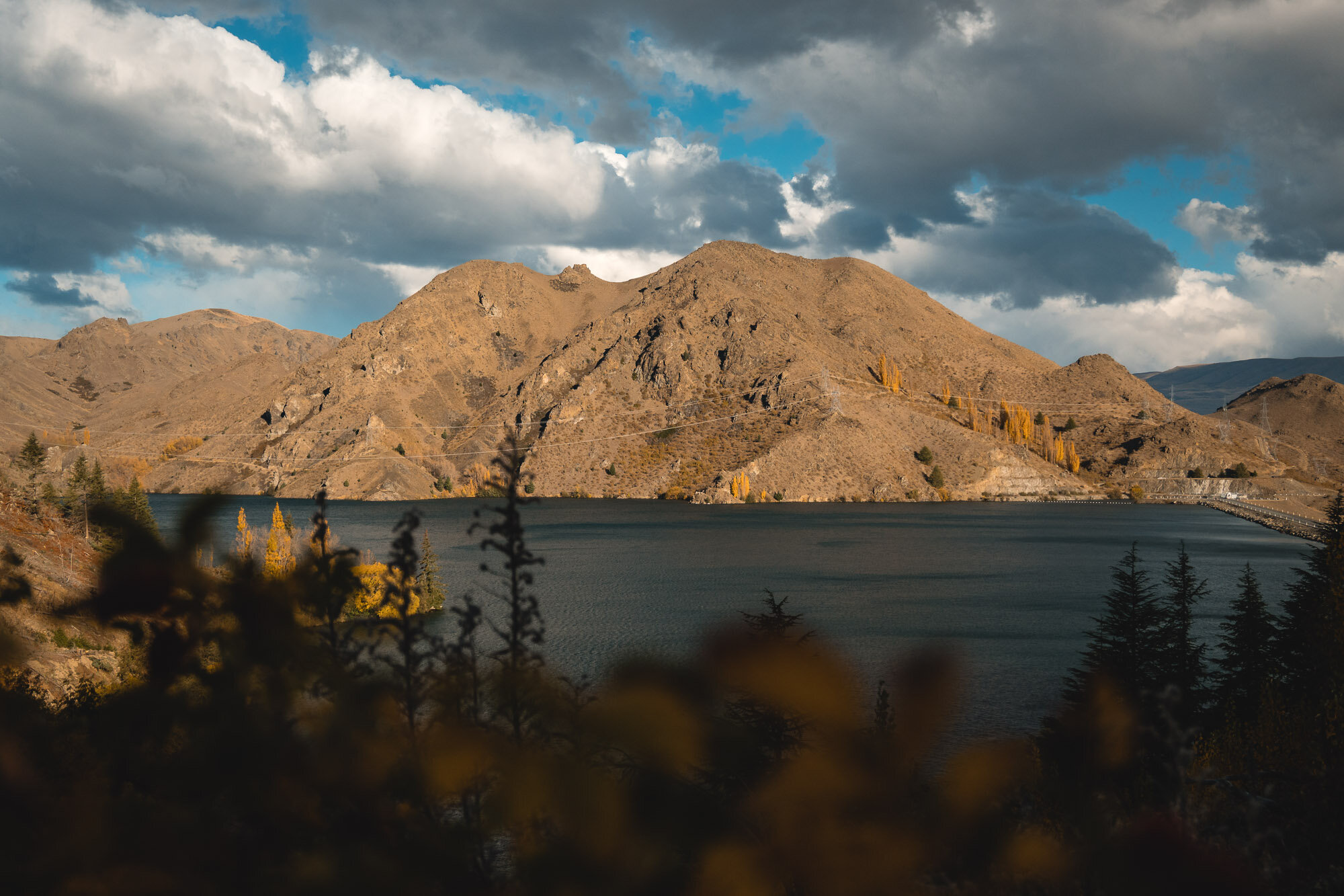
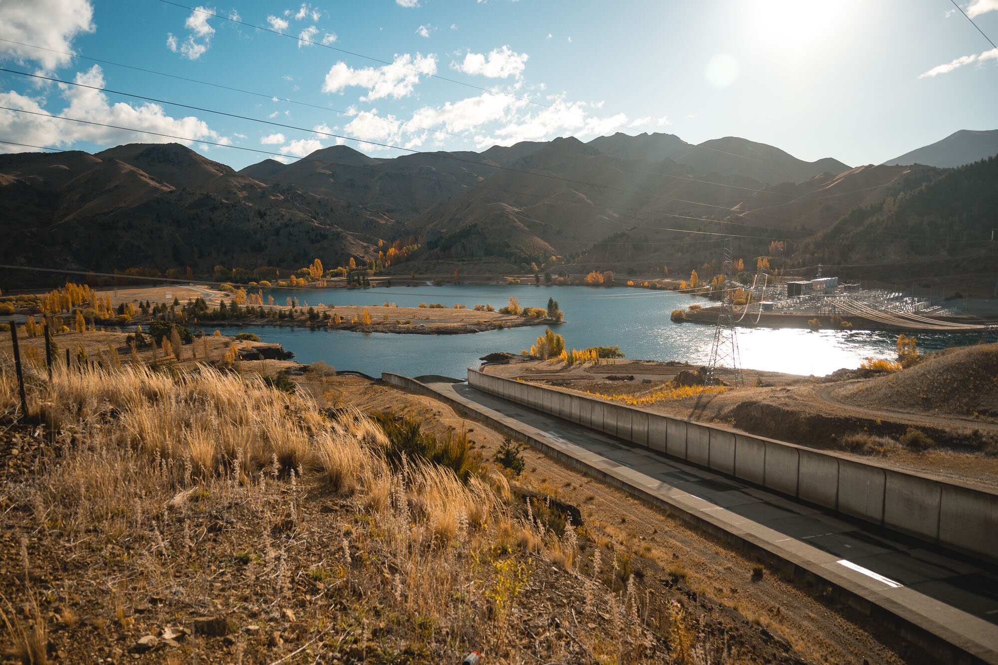

The Benmore Dam.

A little late afternoon light on the hills over Benmore.

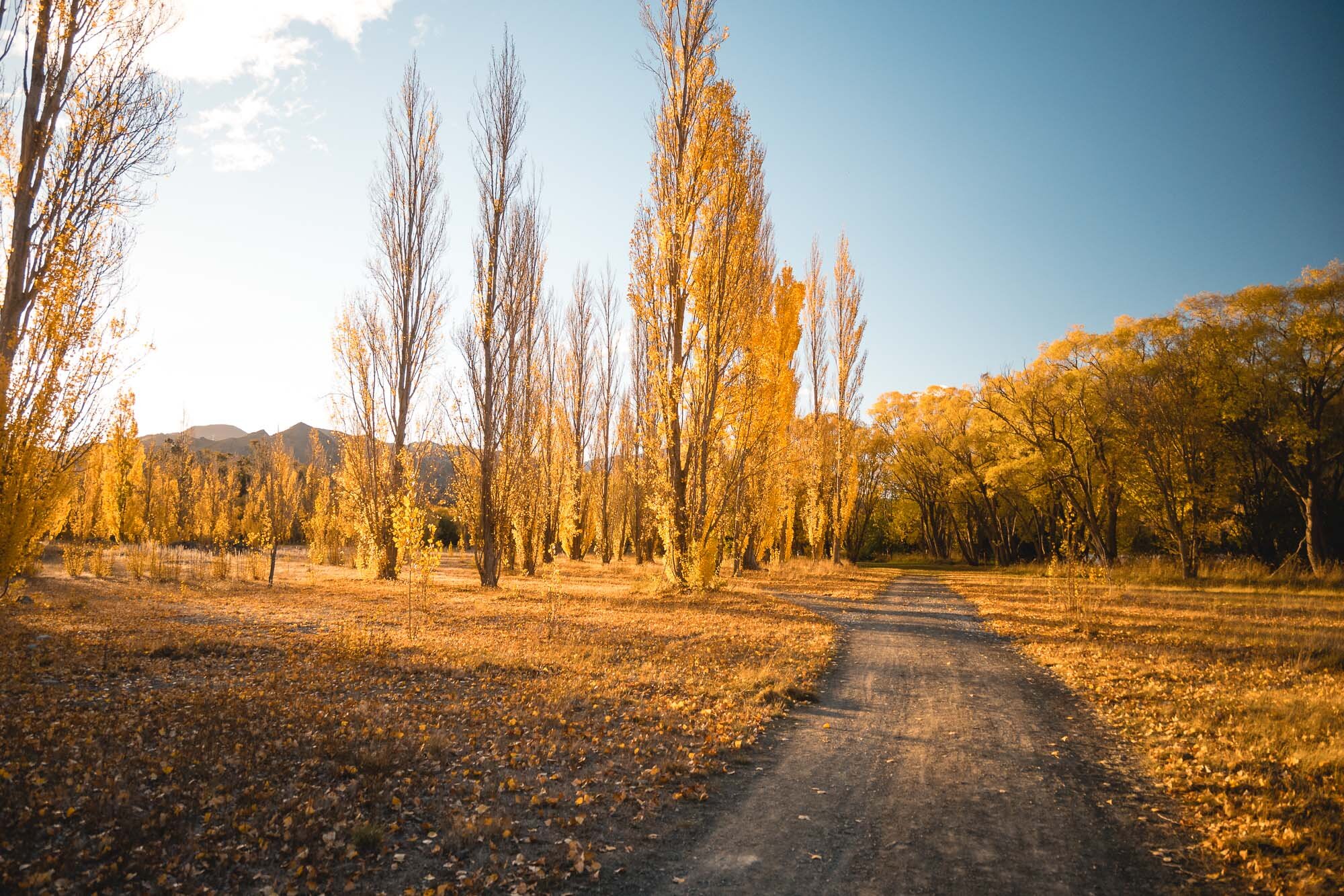
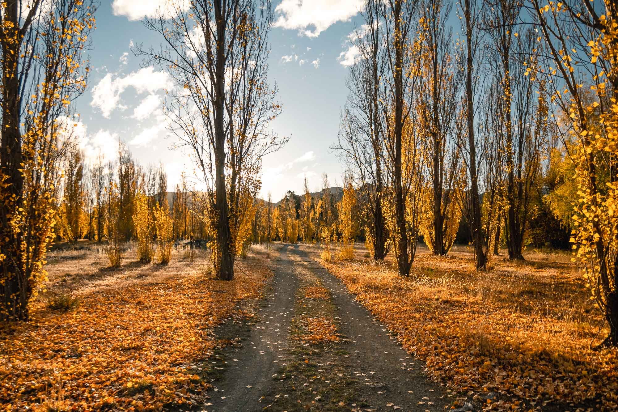

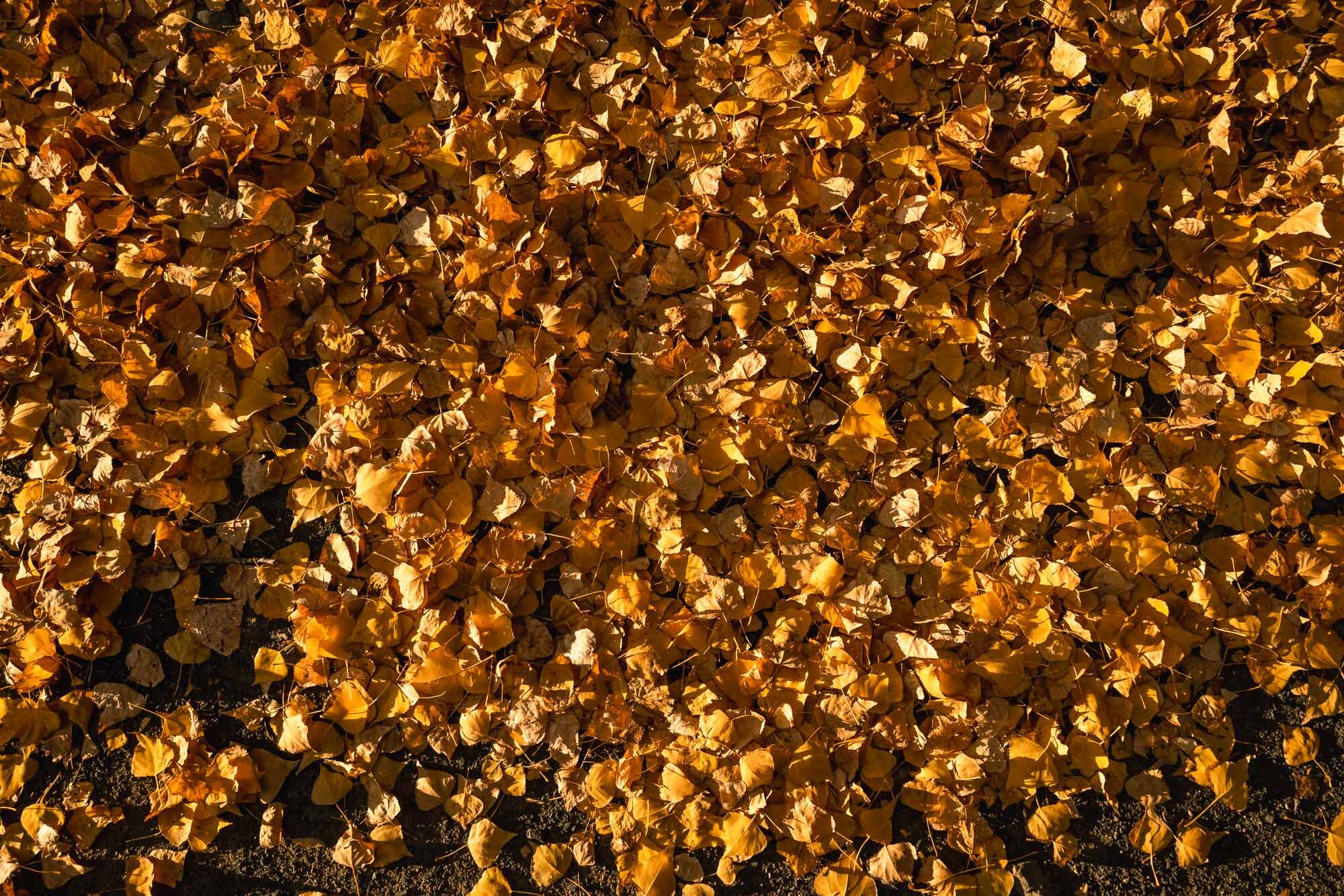
Autumn colours and foliage to rival the likes of Arrowtown even.

Autumn Charlie.


The last strip of light before the sun goes behind the hills.
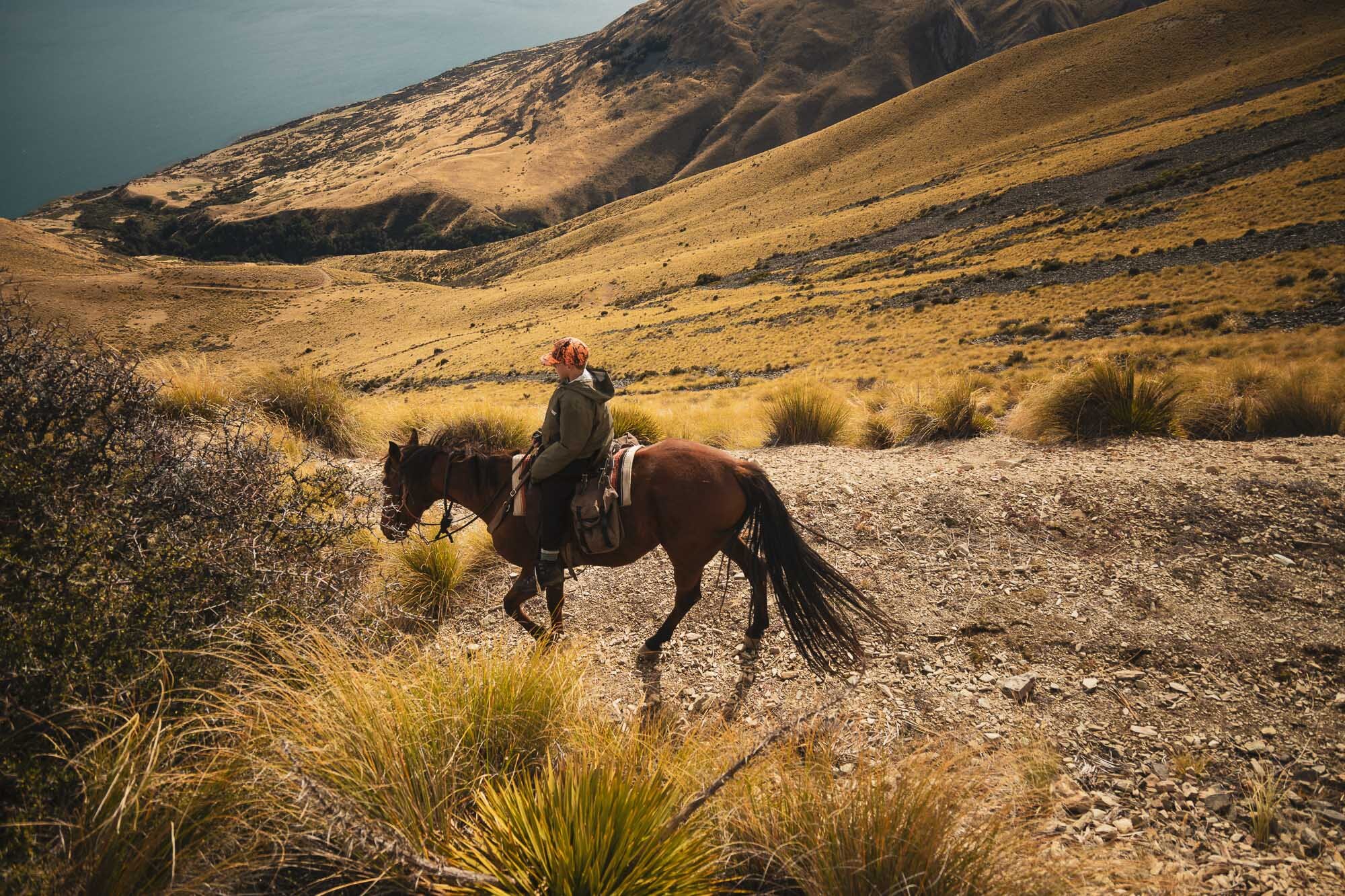
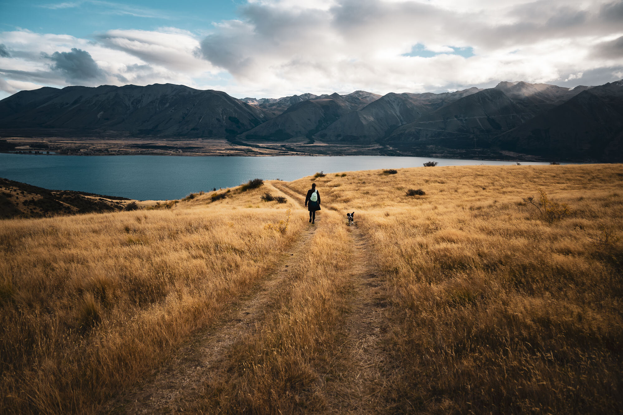
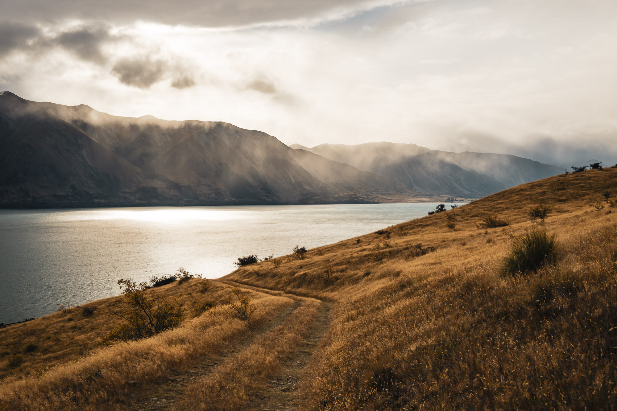
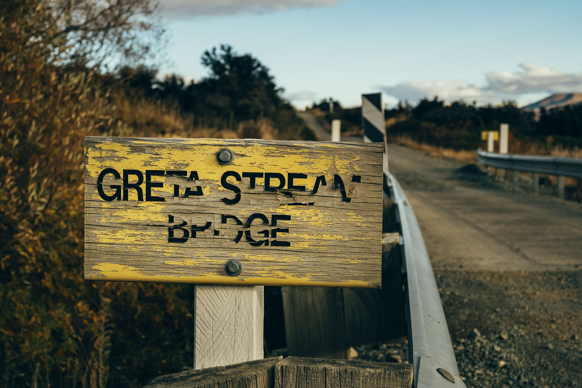
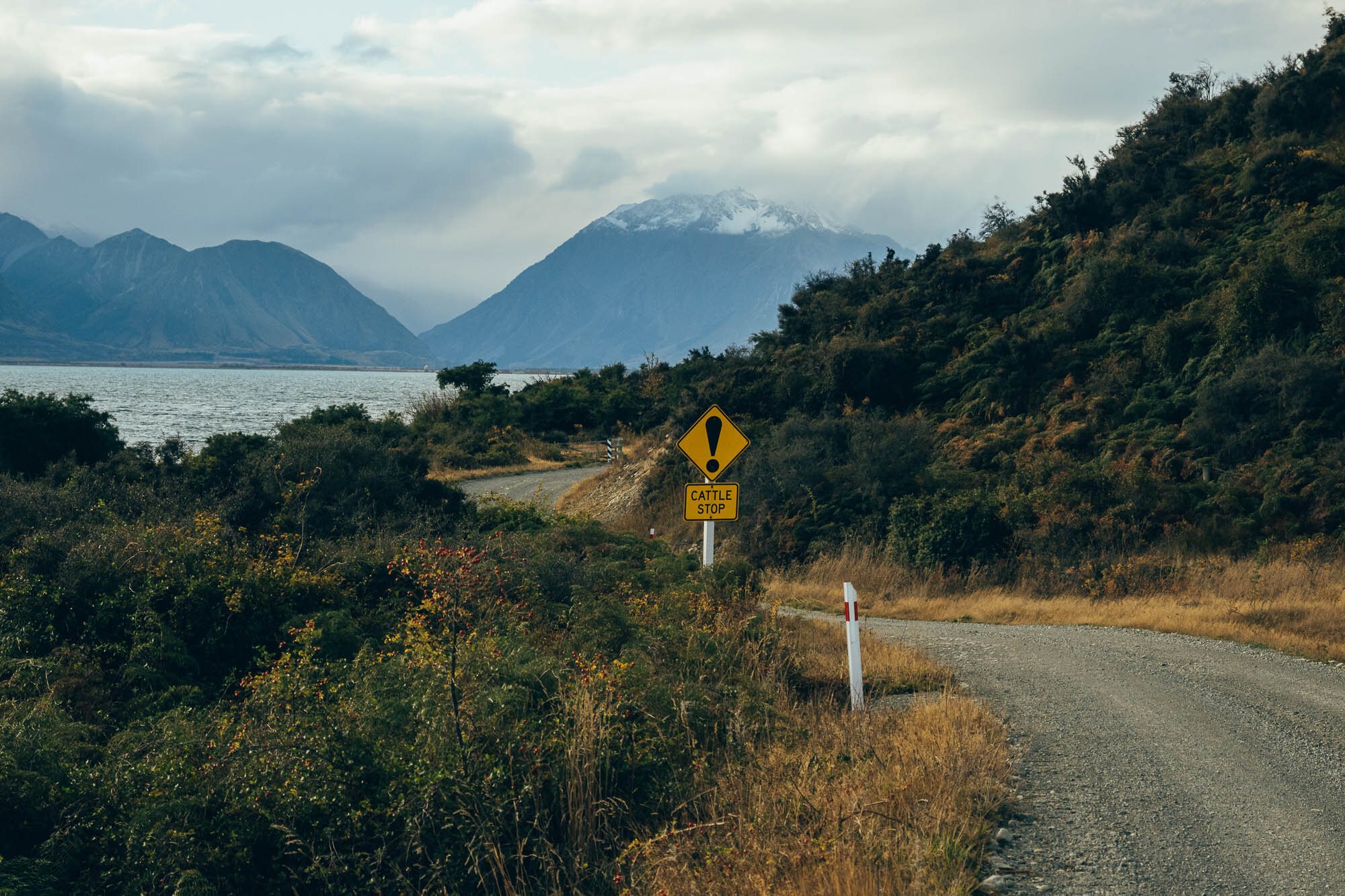
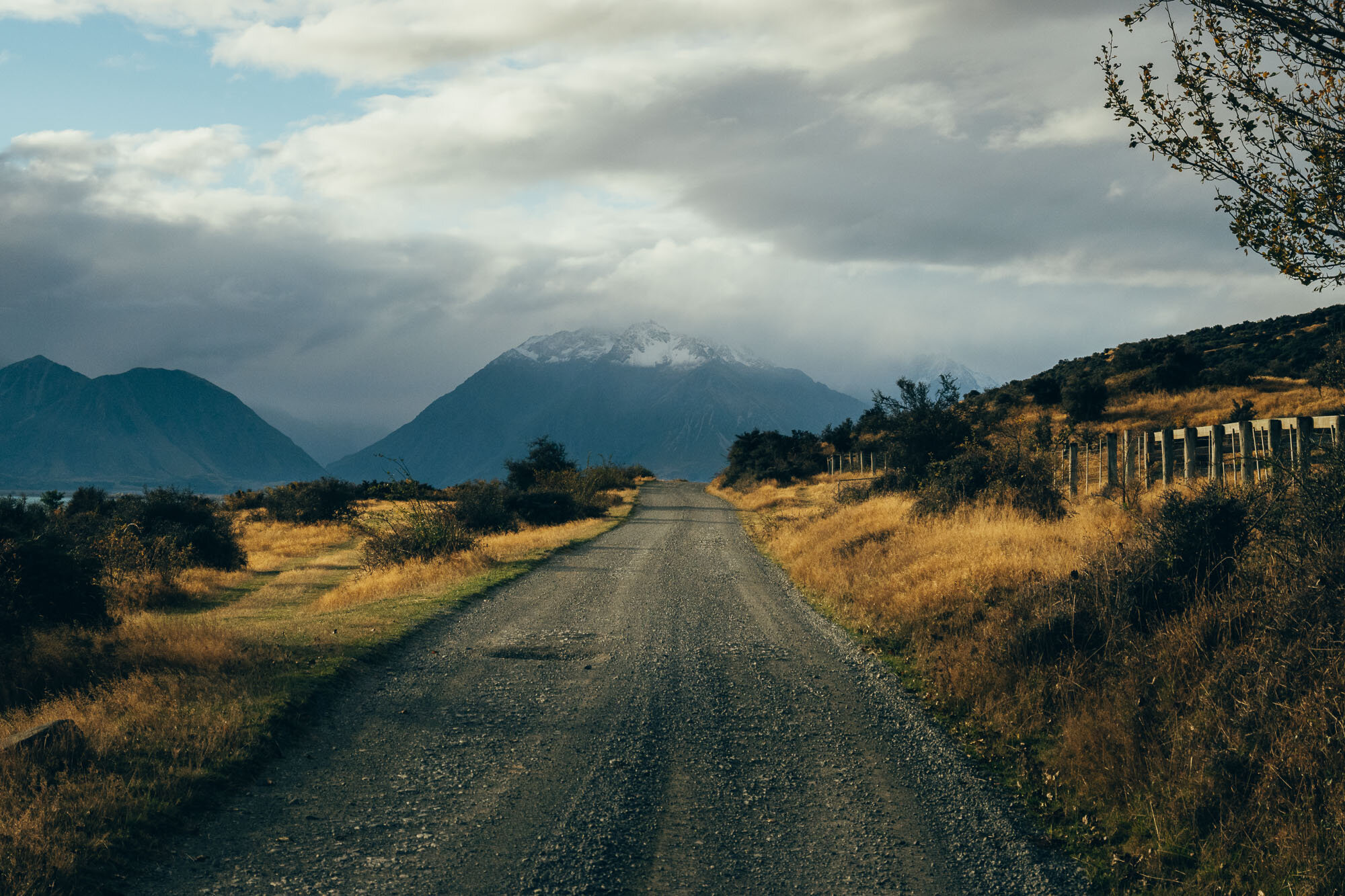
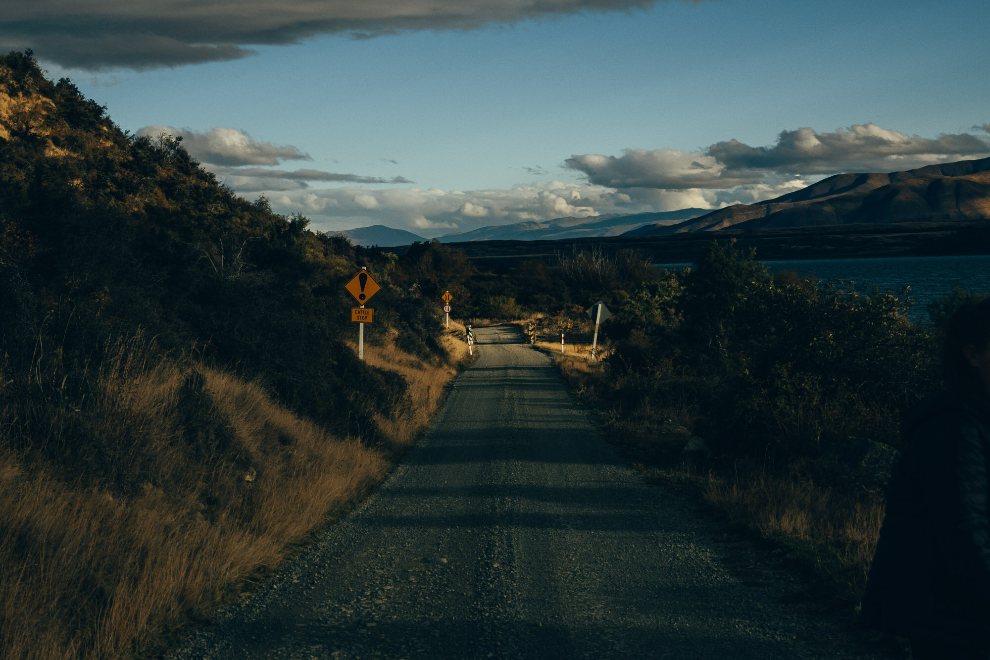
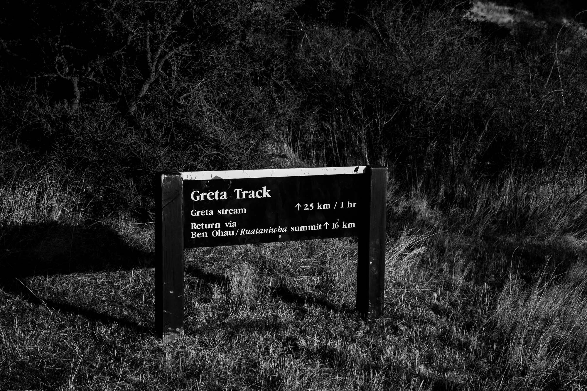
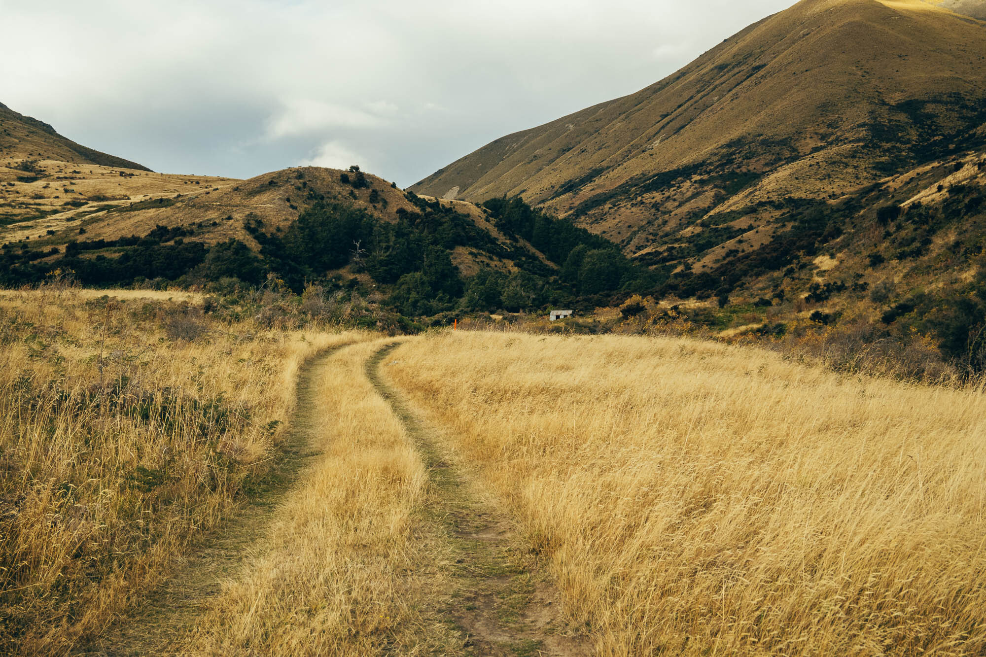
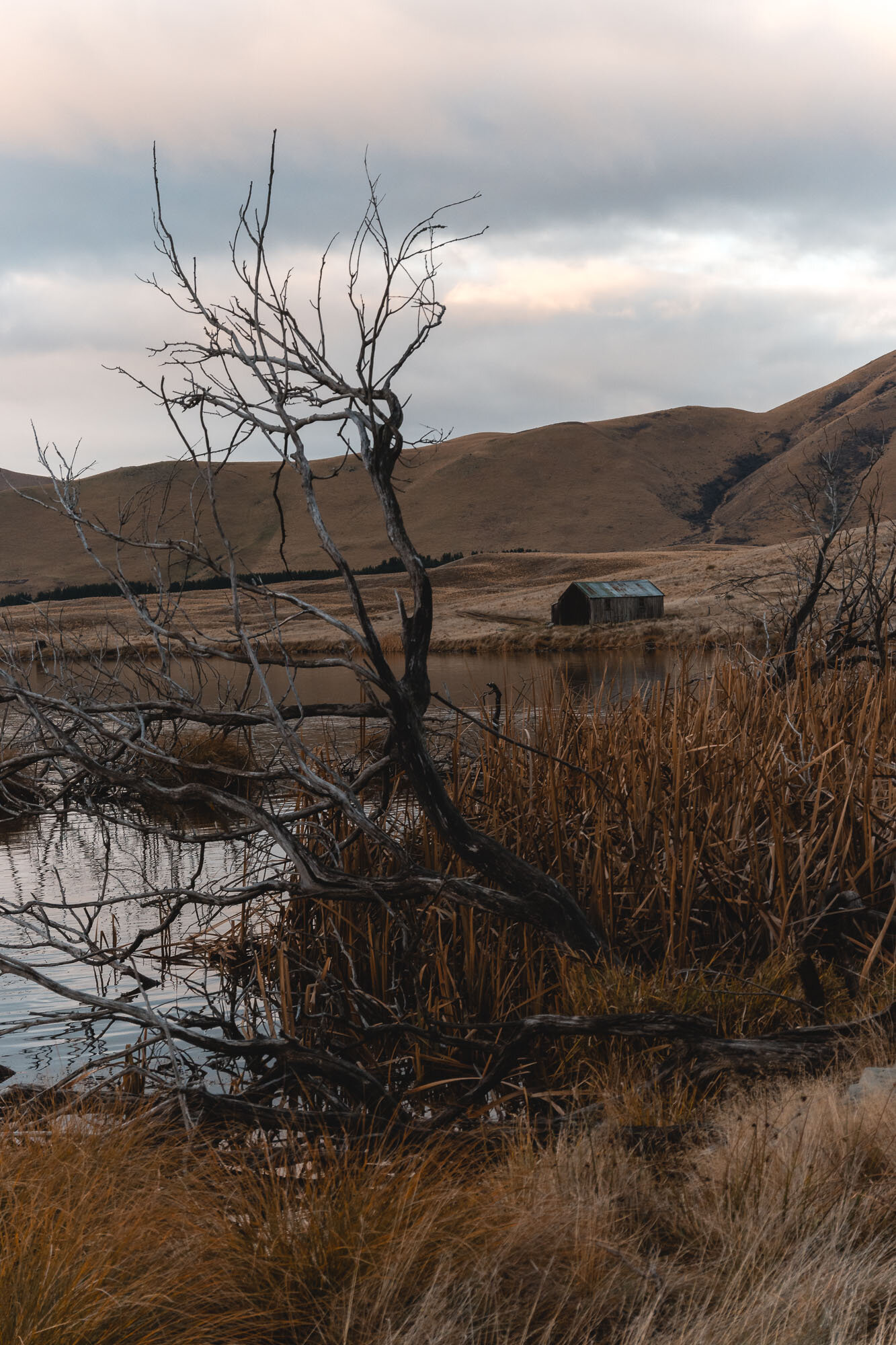
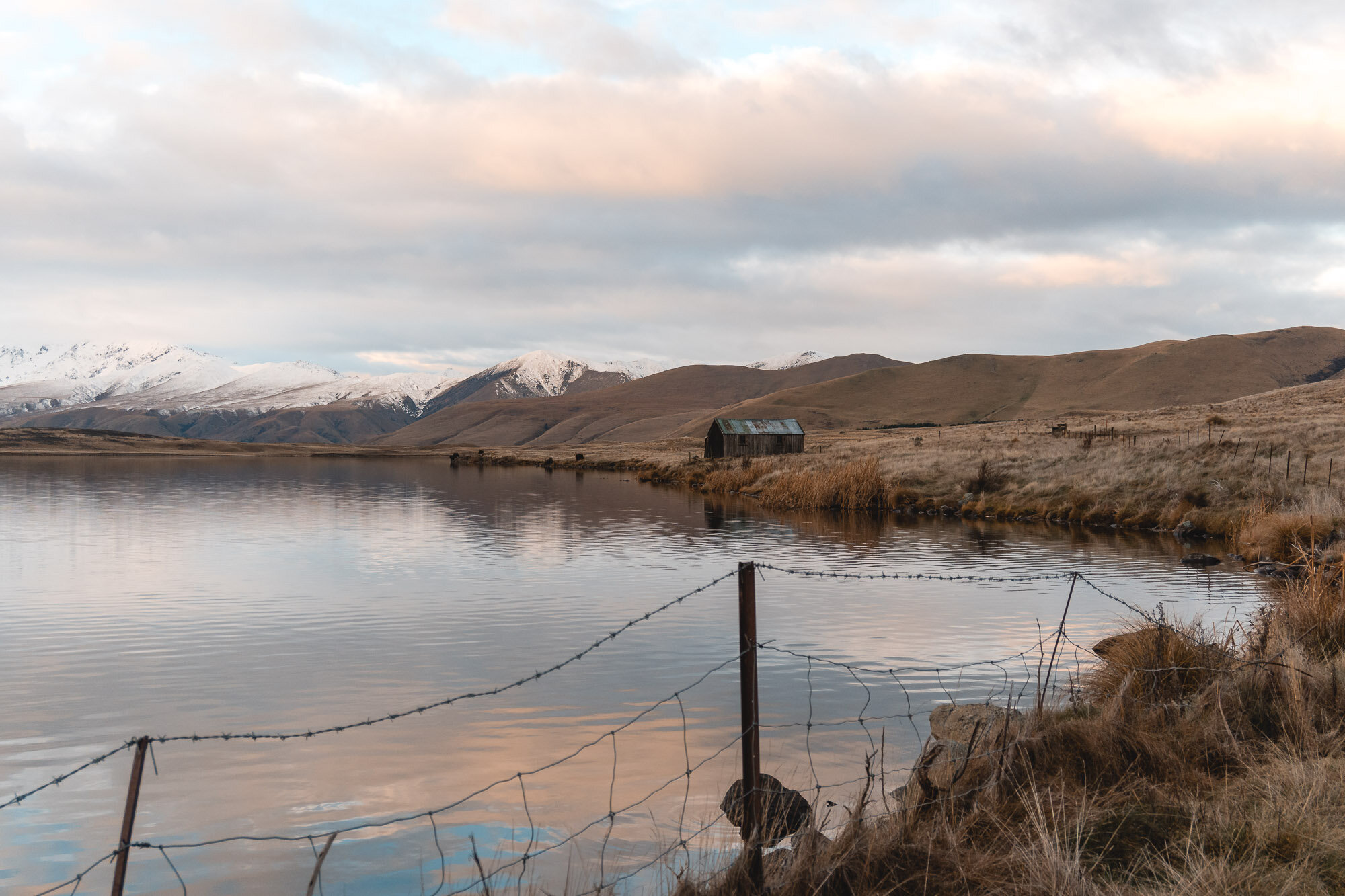
Ben Ohau, Canterbury, New Zealand
Waitaki District
6 Hours Return
Easy

BEN OHAU
WAITAKI DISTRICT
Location:
Lake Ohau, Waitaki District
Throw “Greta Track Trailhead And Car Park” - take Glen Lyon Road from Twizel.
Time:
6 hours return.
2 hours up, 4 hours down. With dog, wife and photos. It’s a long windy loop out.
Difficulty.
Easy.
Dogs:
Under effective control
This one I wanted to be easy, as my wife was joining Charlie and I and she doesn't’t love big uphills. This walk starts with an uphill which isn’t technically challenging it’s just a farm track really, but it is a bit of grunt.
The track itself doesn’t go all the way to the summit, so you need to make a detour. Which I did.
Fun story: When I got to the top there were two other people there, having a glass of champagne, which I thought was kind of strange. I gave the old second look and realised I knew one of them, and then found out the exciting news that he’d proposed to her, on the summit, mere minutes before I sauntered up. Congrats.
Anyway, the rest of the track is chill, there are definitely river crossings that will get deeper when it’s wet. You can rock hop across when we were there, otherwise you’re getting wet feet. There’s only one spot where you might get lost, we went straight on when we were meant to take a hard right, but quickly realised.
You see the lake a lot sooner than you get to it, it seems like it’s around every bend on the descent, however, it is not.
Check out the huts too, the one at the start and the one at the finish.
Would also suggest grabbing a burger from Ministry of Works in Twizel on your way out as well.
Enjoy this one.
That’s one excited doggie.


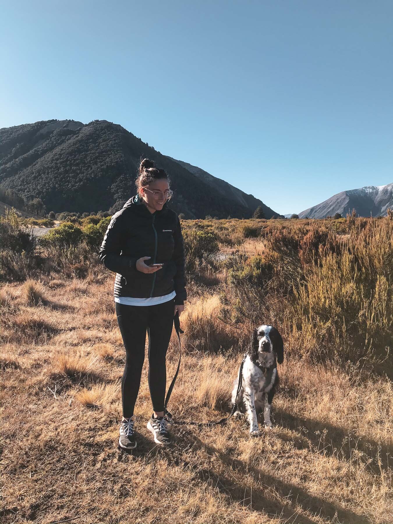
My wife Nicola also joined for this one.
We saw some horses, which is a bit different.

There was definitely some weather coming in as well, we managed to make it out without any rain.

Plenty of greenery in the valley, which is surprising as you can’t see any of it from the ascent.

Nicola and Charlie walking off into a moody sunset.
Charlie was in his element.

The little road stretch from the end carpark to the start carpark is only a couple of hundred metres.

The site of the old hut was super photogenic, as Charlie just watches the sunset out the doorway.
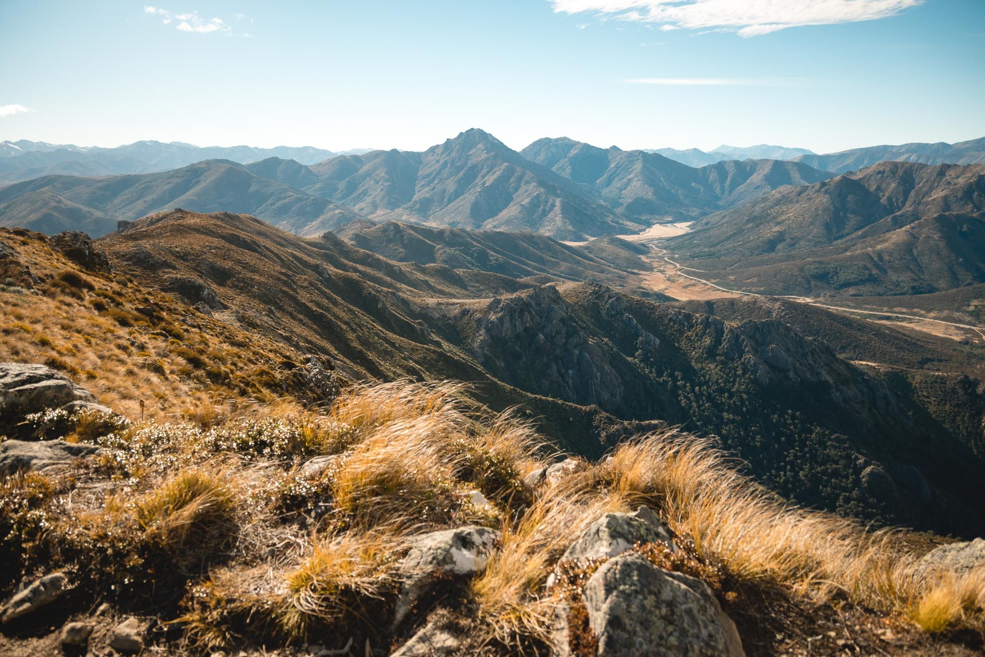
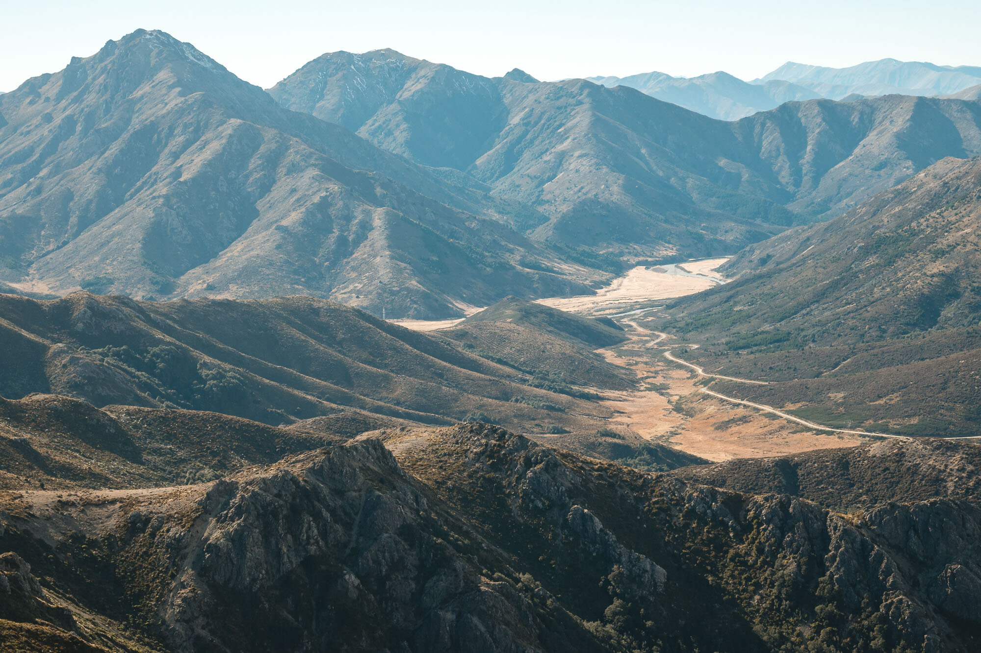
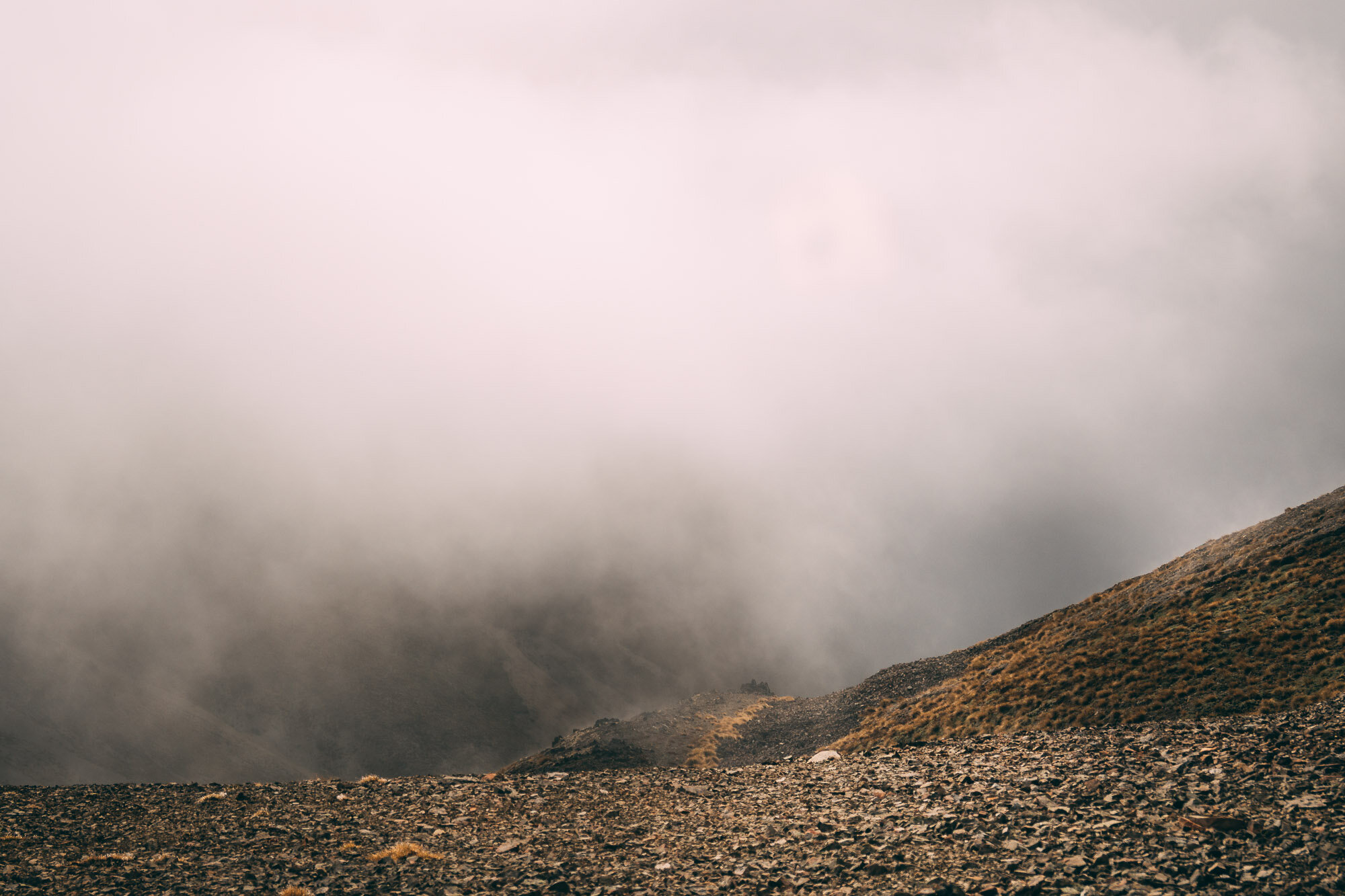
Mt Harper, Canterbury, New Zealand
South Canterbury
7 Hours Return
Hard

MT HARPER
South Canterbury
Location:
South Canterbury
For this track, head out towards ‘Lake Camp’, on the road to Lake Clearwater. Once you get to Lake Camp, there’s a little shingle access road just on the left hand side of the road on the near side of the lake that leads along the tree line, head down that road, it ends up at a parking space where the trail starts.
Time:
7 hours return.
4.5 hours up, 2.5 hours down. With dog, photos, low visibility and fading light.
Difficulty.
Hard
Dogs:
Under effective control
This was our first attempt at an un-poled route. This is a mixture of 3x different attempts, hence the changing conditions in the images.
First attempt. Arrived too late in the day, would have run out of light, did the Lake Emma walk instead (see that adventure here).
Second attempt. Gave ourselves more time, as we finished the first climb the weather that was meant to be coming in later turned up early, with sleet and wind and visibility dropping fast we decided to turn back.
Third attempt. The weather report said no rain, but we turned up to super ominous-looking low cloud. We thought we might be able to get above it, and had gone all the way out there so decided to push on and finally get it done.
The day we made the summit was a very quiet day, very still, with no one around (maybe due to the weather). The low cloud started at the top of the first climb and we basically had no visibility from there on in. Once we got to the top there was a tiny clearing of the clouds above us, which we thought may burn off the clouds, however, it did not. Apart from a sprinkling of blue skies - the only views we saw were grey - I can only assume they were epic…
The hike was made extra challenging as there is no marked route to follow, I used a map and a compass and then made guesses. With the lack of visibility, it was hard to pick out correct approaches, especially looking for the route down the ridge (or even finding a ridge) on the descent - constant compass and map checking was required.
I may have to do this one again so I can see the views from the top.
Note: They really don’t want you to have your dog at Lake Camp or Lake Clearwater. There are lots of signs telling you that. You can take your dog on the hike, but he’s not welcome by the lake!
These are from the drive in - I should have had an idea of what we were walking into.
Below: Some iPhone snaps of us heading in on our second attempt.


Hiking pack on and ready to go.
Ominous weather and a wet dog.


The fleeting moments when we thought that the sun might burn off the clouds.

A very wet Charlie at the summit, and at a false summit as well.
This is how it looked on the way down. Note how hard it was to spot your way in the top left corner. Once we came out below the clouds the descent was a lot more straight forwards.


This is a pooped doggo from hiking nearly 21km. By the end, when I would stop to take a photo, he would have a little rest.

On the hike out of attempt 2, the bad weather mixed with the setting sun to create some immense images which I love. It was definitely a mission, each and every time, but the ruggedness and epicness of the area makes this one well worth it if you’re up for an adventure off the beaten trail.
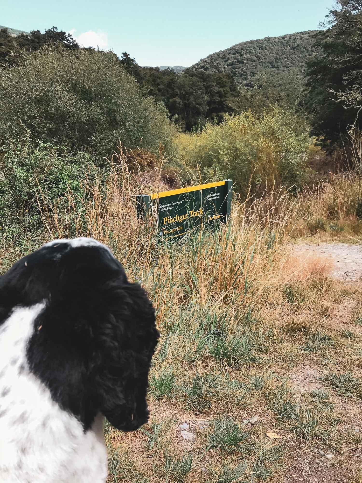
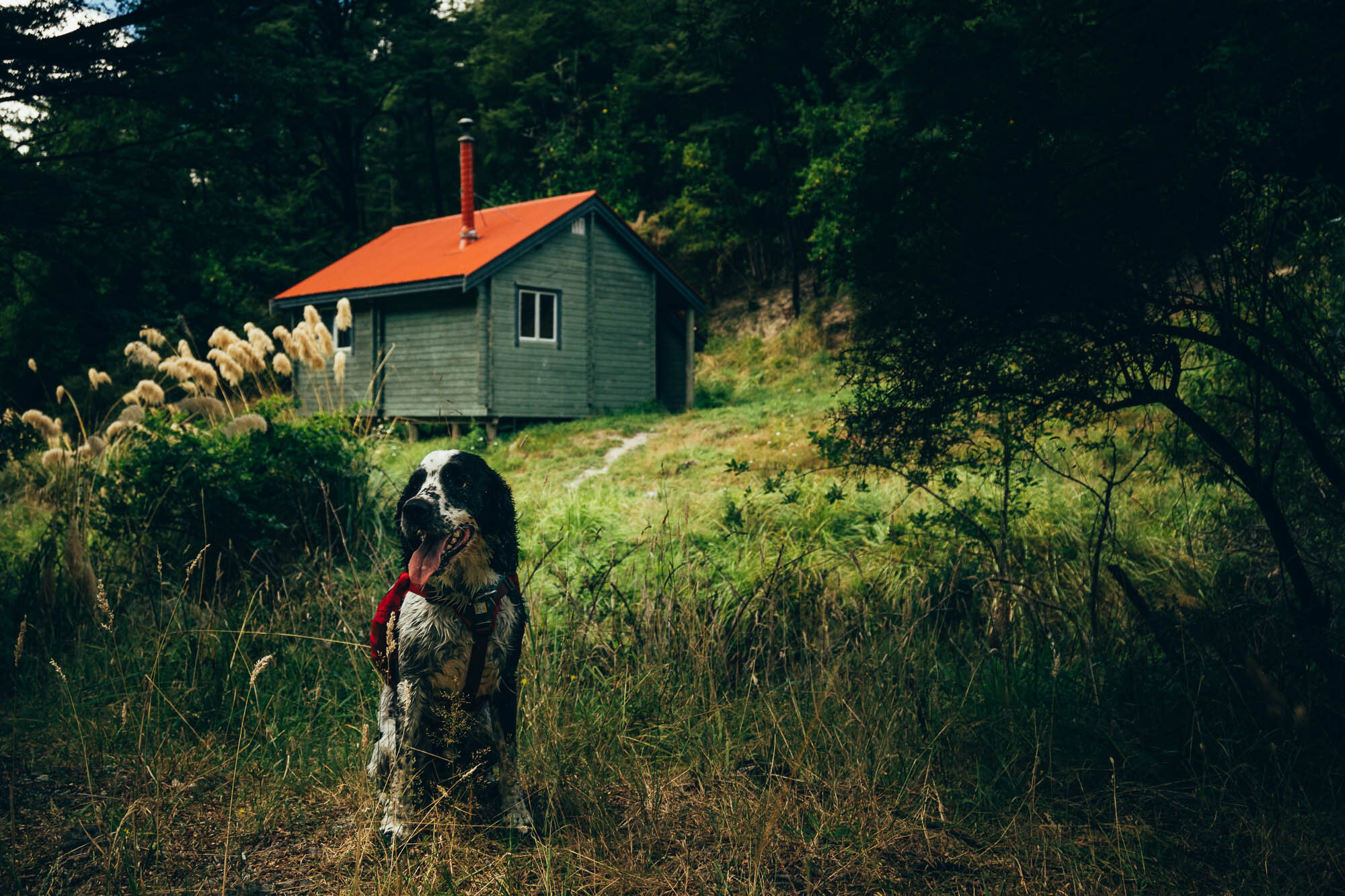
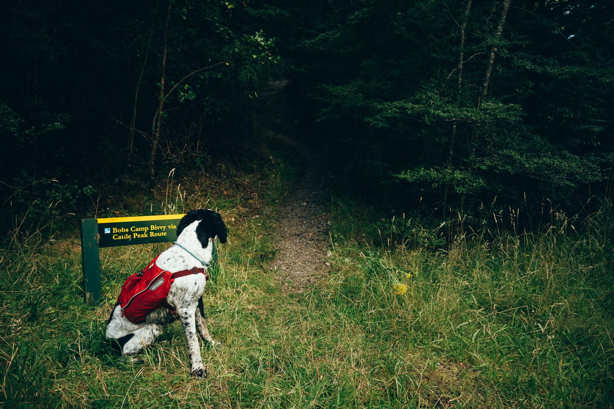
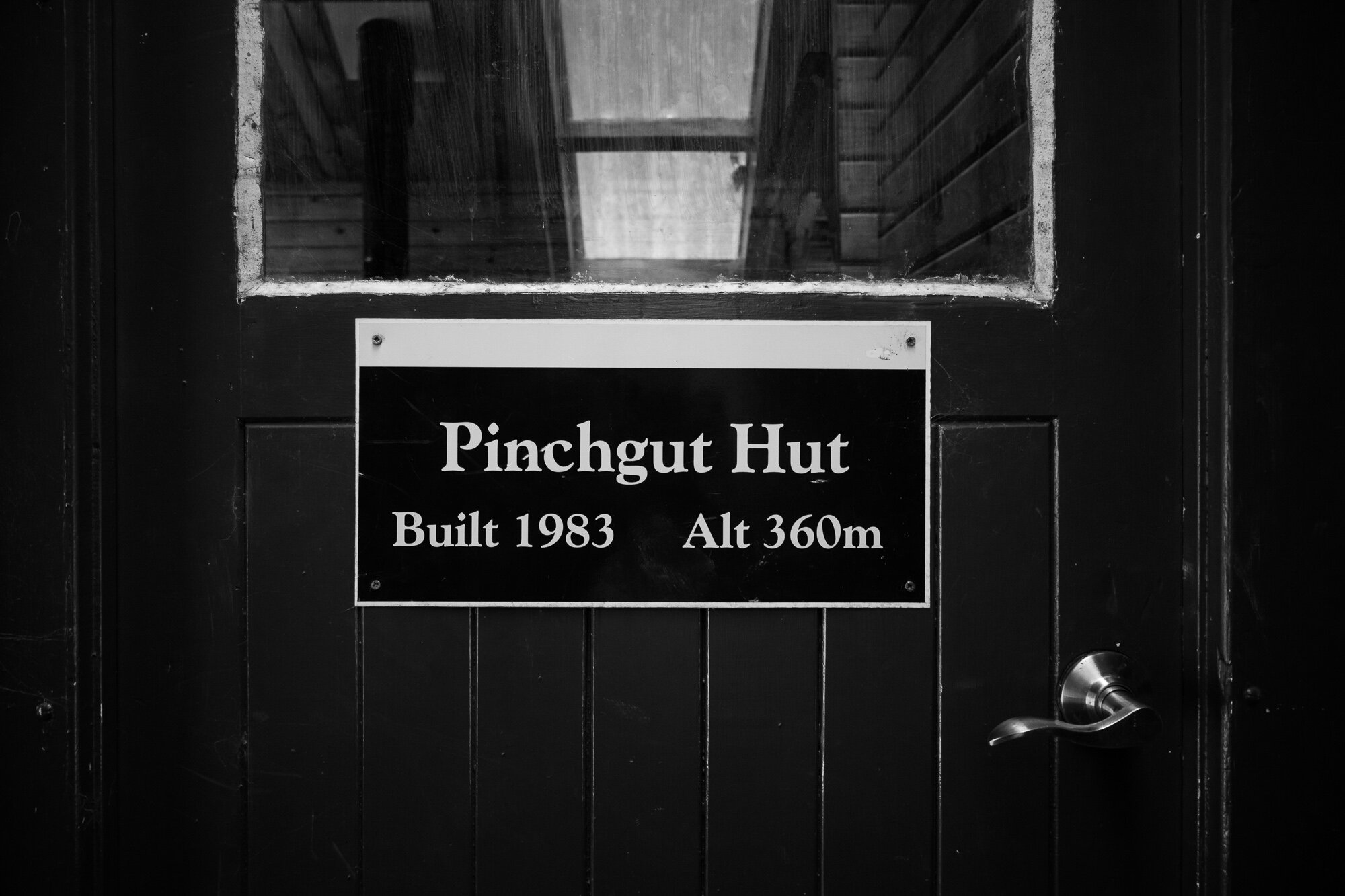
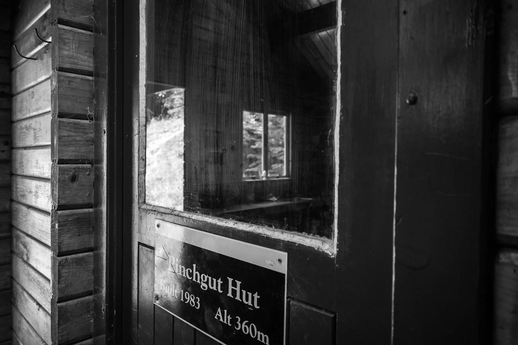
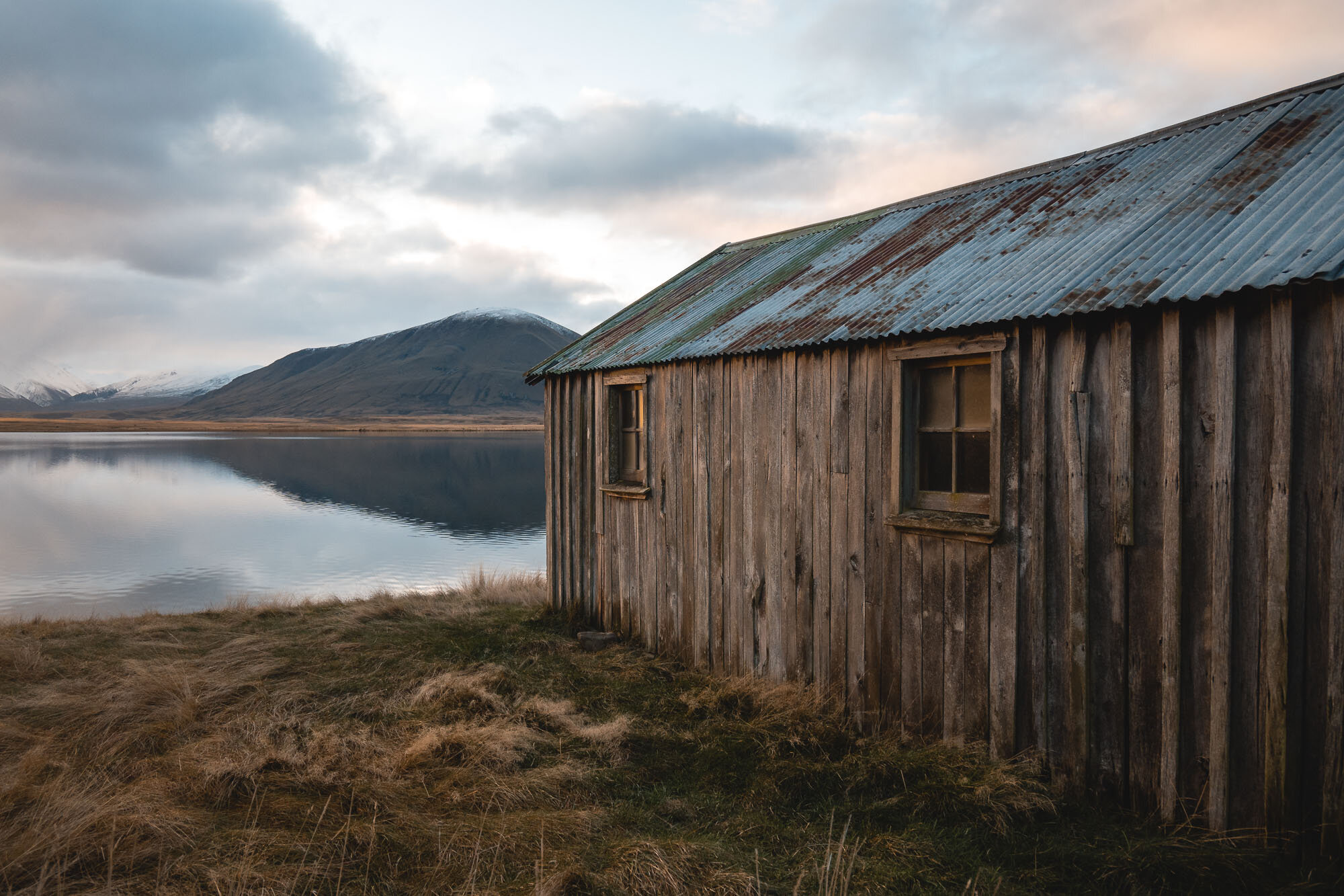
Pinchgut Hut, Canterbury, New Zealand
North Canterbury
4 Hours Return
Easy

PINCHGUT HUT
North Canterbury
Location:
North Canterbury
Drive to the end of Taaffes Glen Road and follow this until you reach Round Hill Stream where there is a small parking area. You go through a farm, I was a little hesitant, but realised I was on the right track. There’s a ford in there and the parking area is on the right just before you go down another steep ford.
Time:
4.5 hours return.
Approx 2h each way with dog, photos, a little detour to the waterfall and a break for a beer at the hut.
Difficulty.
Easy
Dogs:
Under effective control
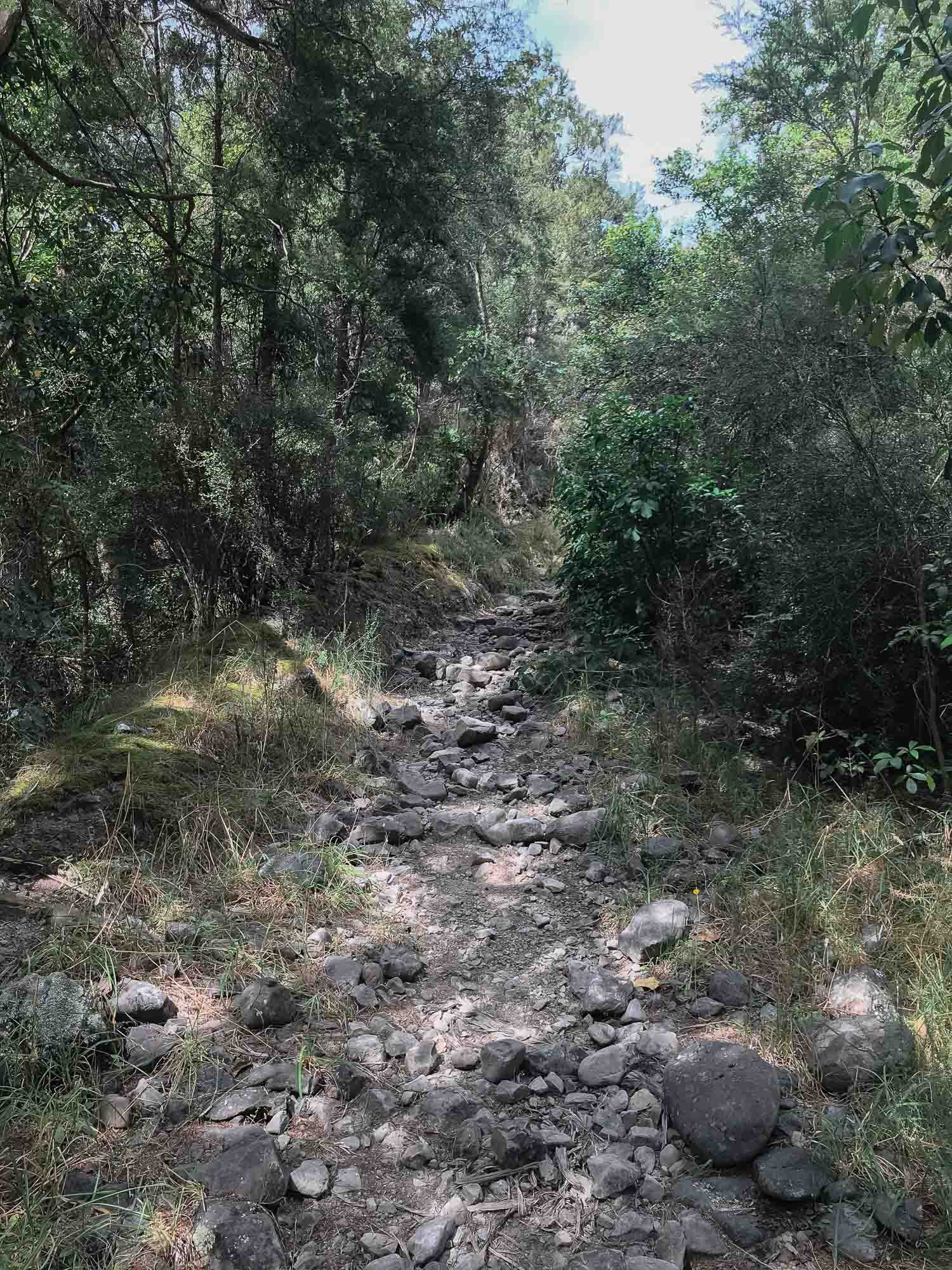
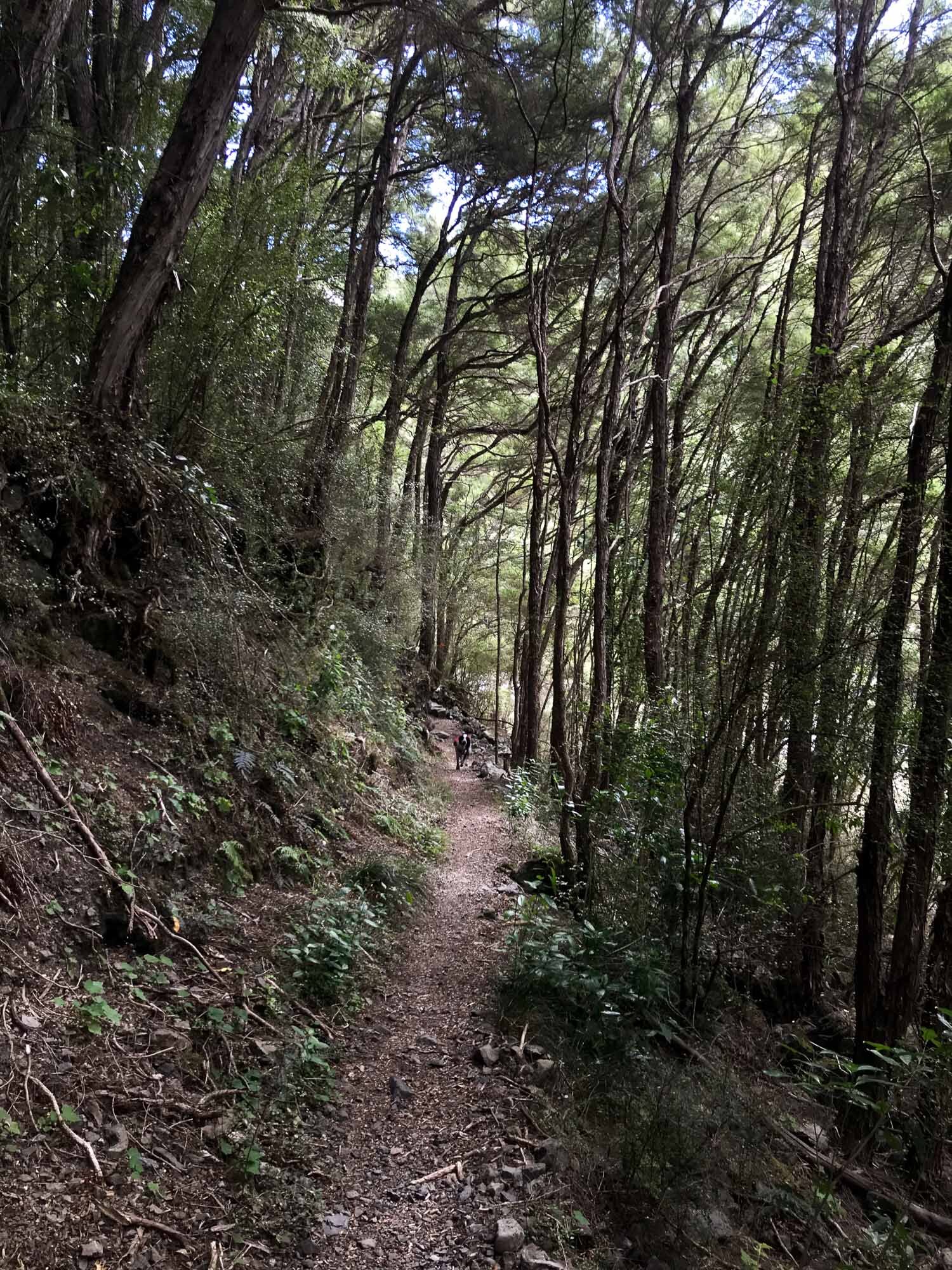
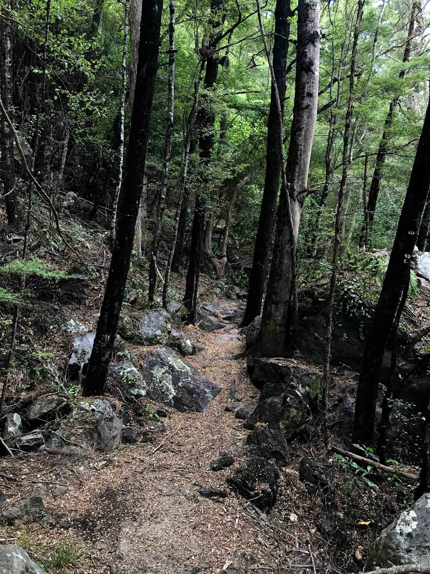
I tend to stick to mountains, rather than valleys but was really pleasantly surprised with this one.
There is a pretty decent sized river crossing at the very start, I managed to rock hop across but I imagine in the spring or when the river level is higher it may be a bit trickier. It was a hot day so I walked back through to cool off at the end.
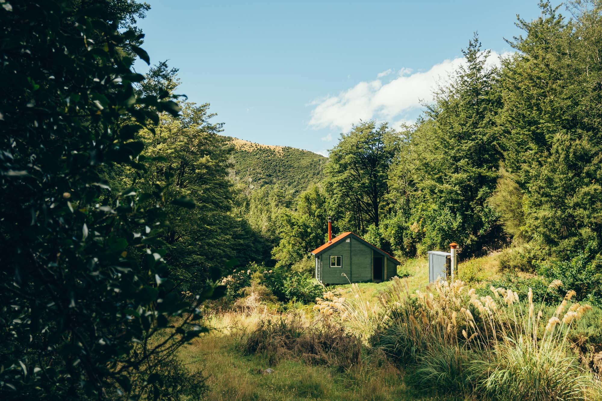
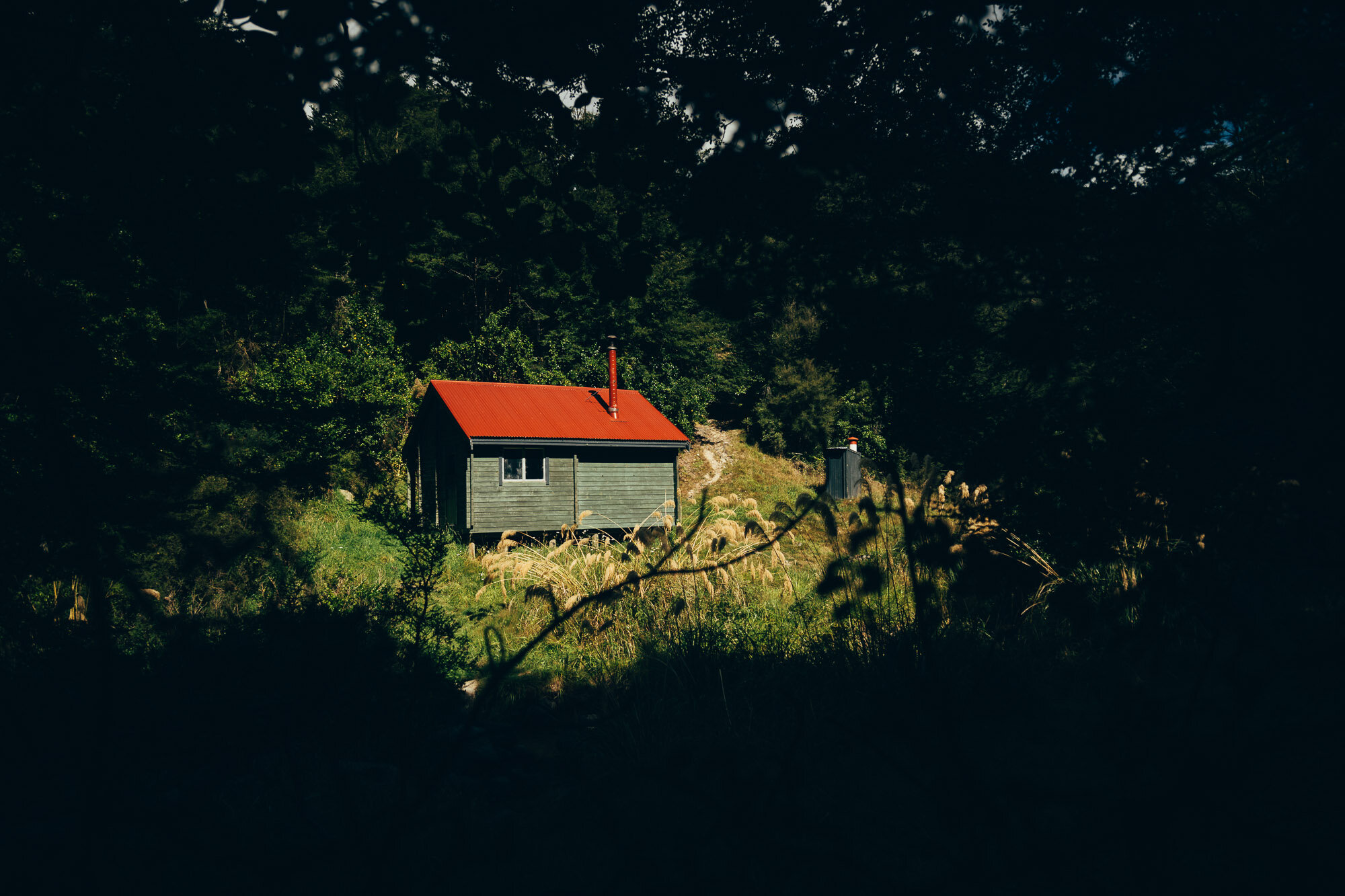
It’s undulating most the way, with a pretty short sharp climb just after halfway. The hut looks nice, and there is plenty more hiking to be had once you get there, but that’s for a different time.
Enjoy the usual mix of iPhone images (whilst walking) and proper camera snaps from the important parts..

Another waterfall, another long exposure.


Handsome dog, fresh from a swim. Below: a selection of shots from the track.


Here’s the hut, what a pleasant place to stop for a minute (despite the sandflies). The hut costs to sleep in, and there’s plenty of room to pitch a tent.
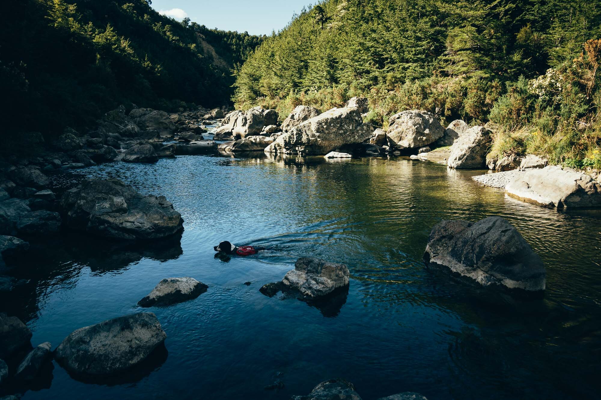
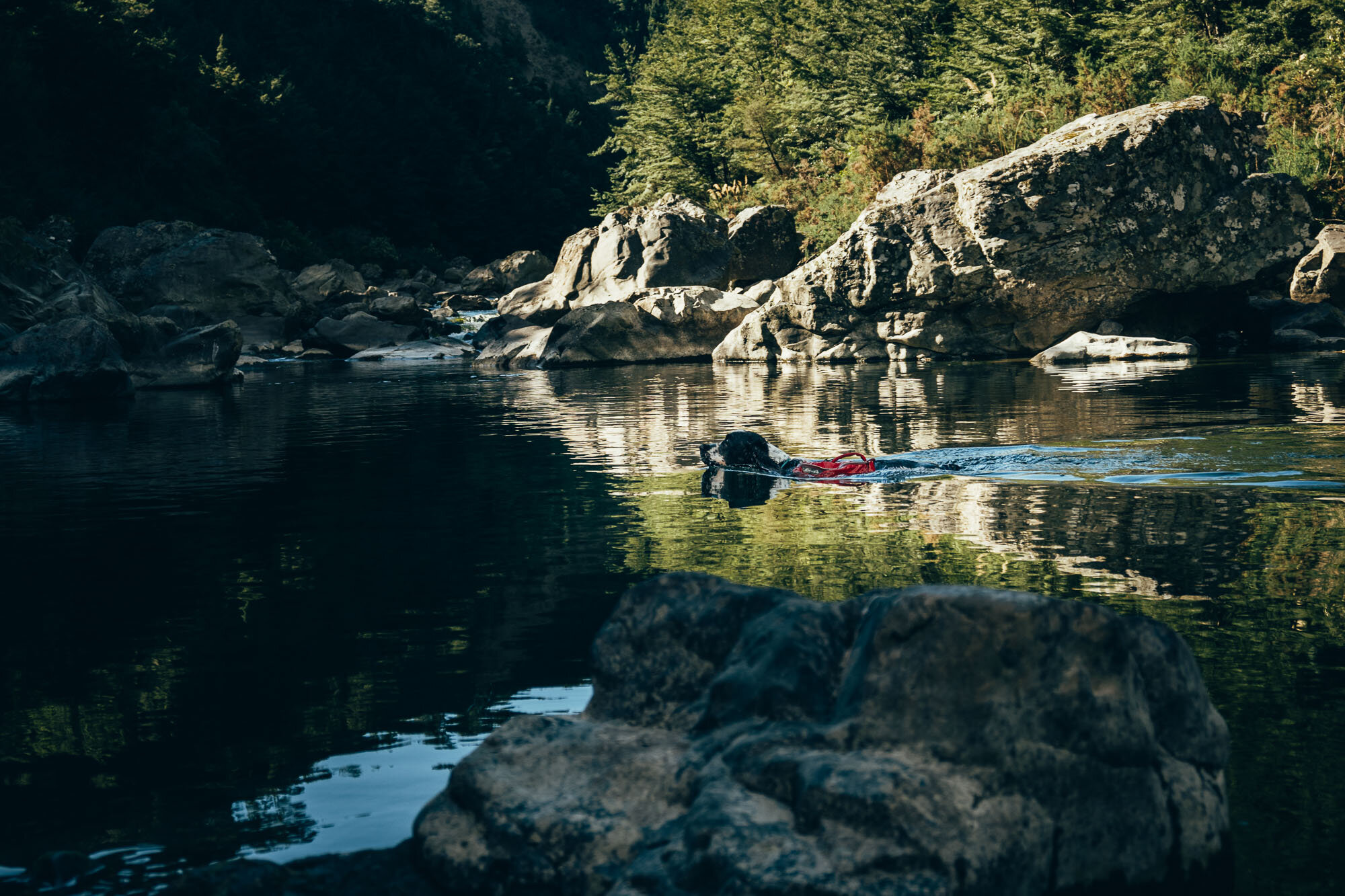
The Okuku river was really calm when the wind wasn’t blowing. Charlie is always looking for an opportunity to swim. He never wants to stop.

Charlie takes a minite to relax in a sunny spot while the adults enjoy and adult refreshment.

The view of the valley on the way out.
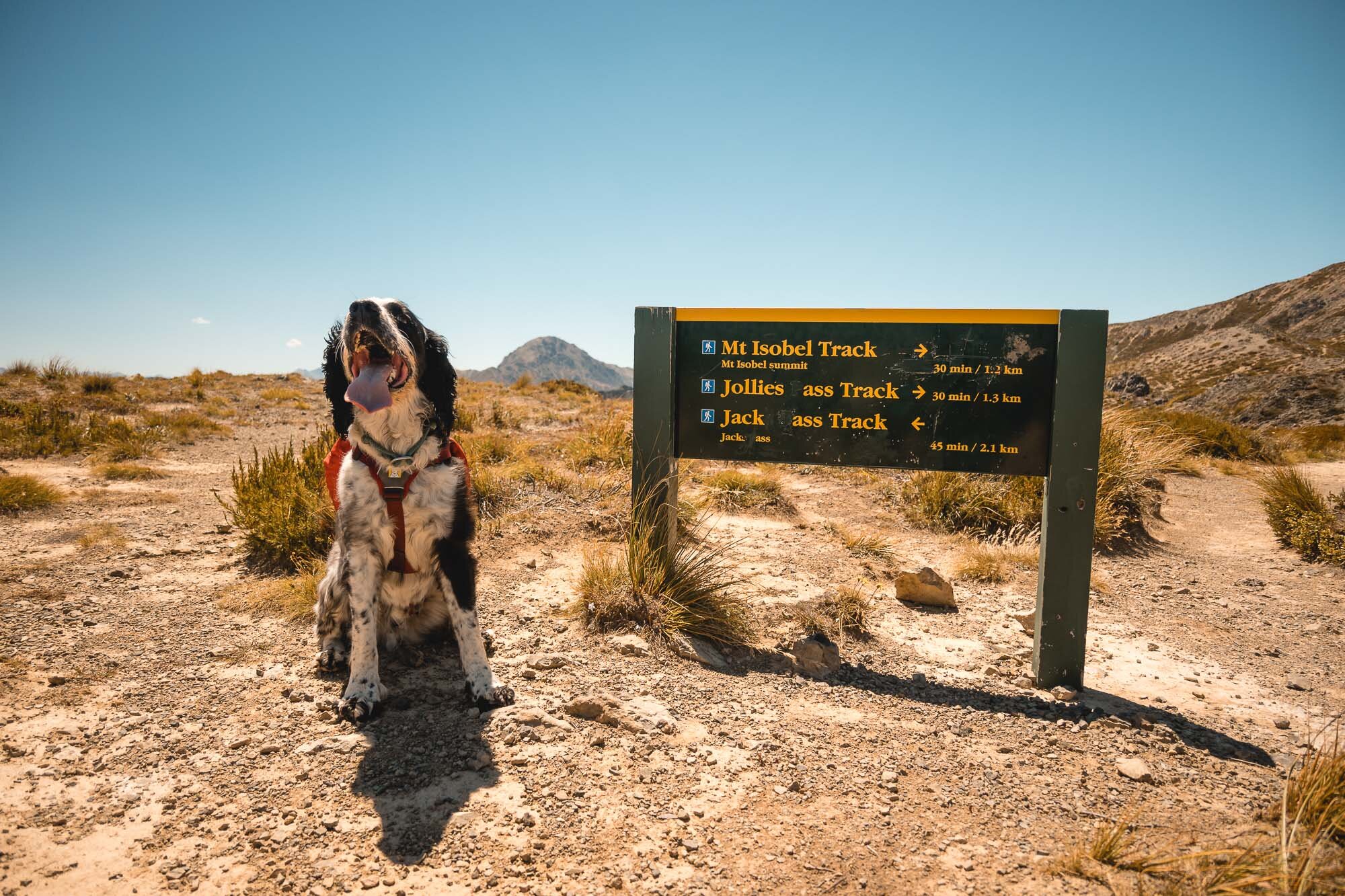
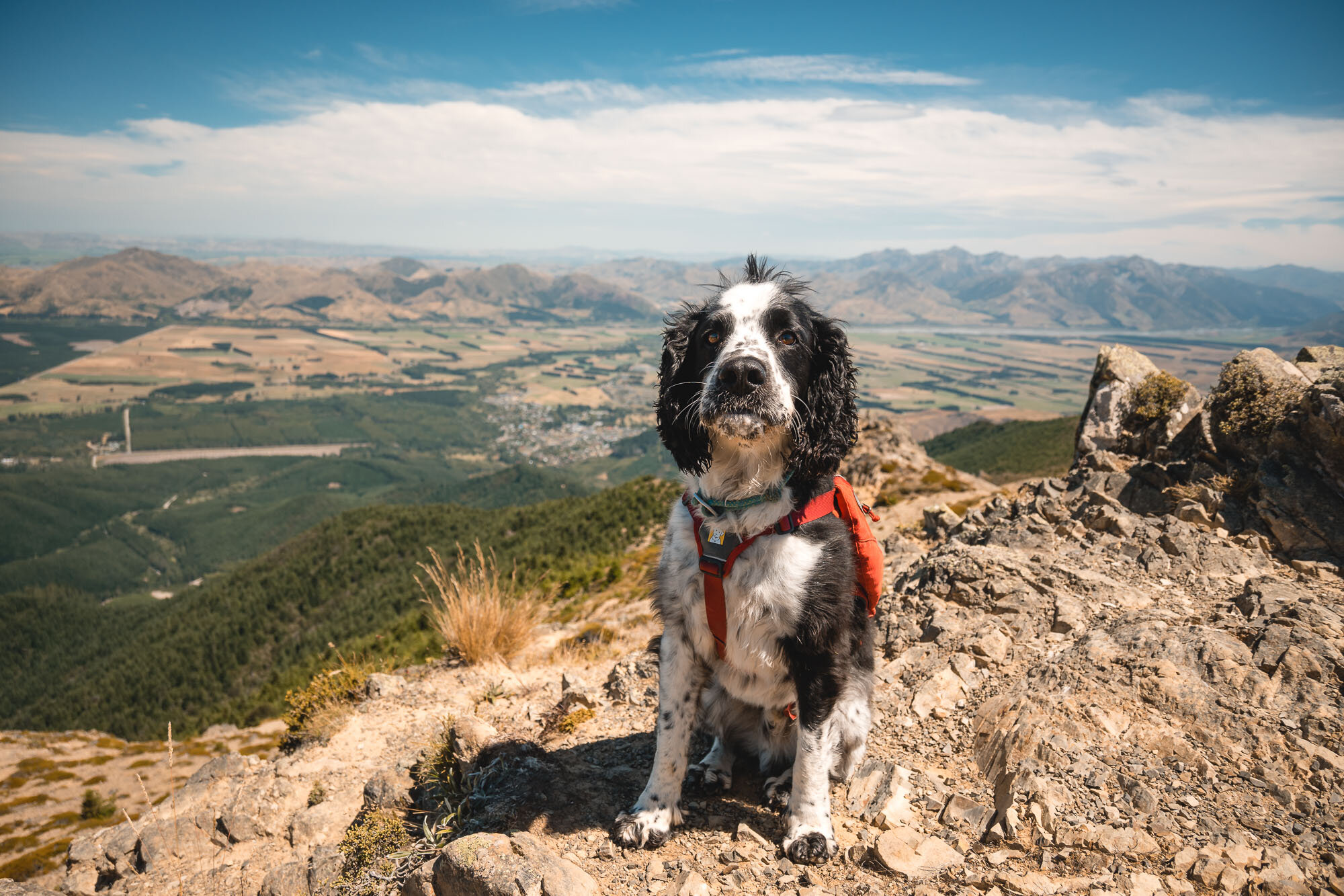
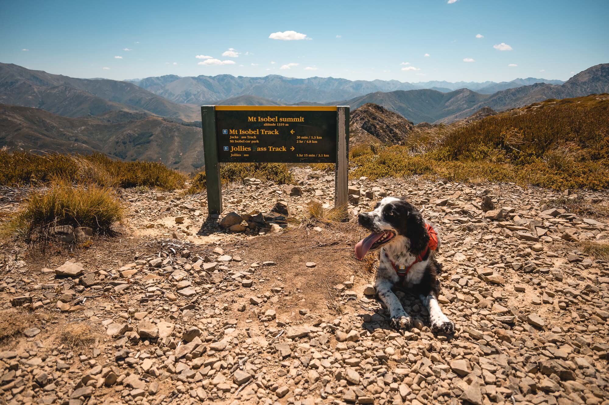
Mt Isobel, Canterbury, New Zealand
North Canterbury
4.5 Hours Return
Hard

MT ISOBEL
North Canterbury
Location:
North Canterbury
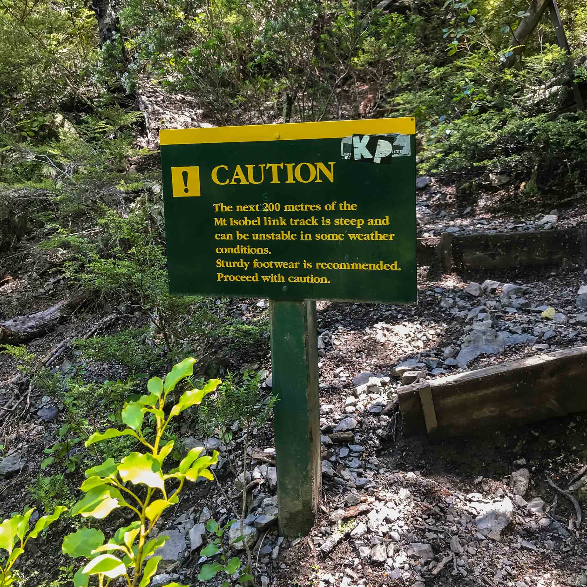
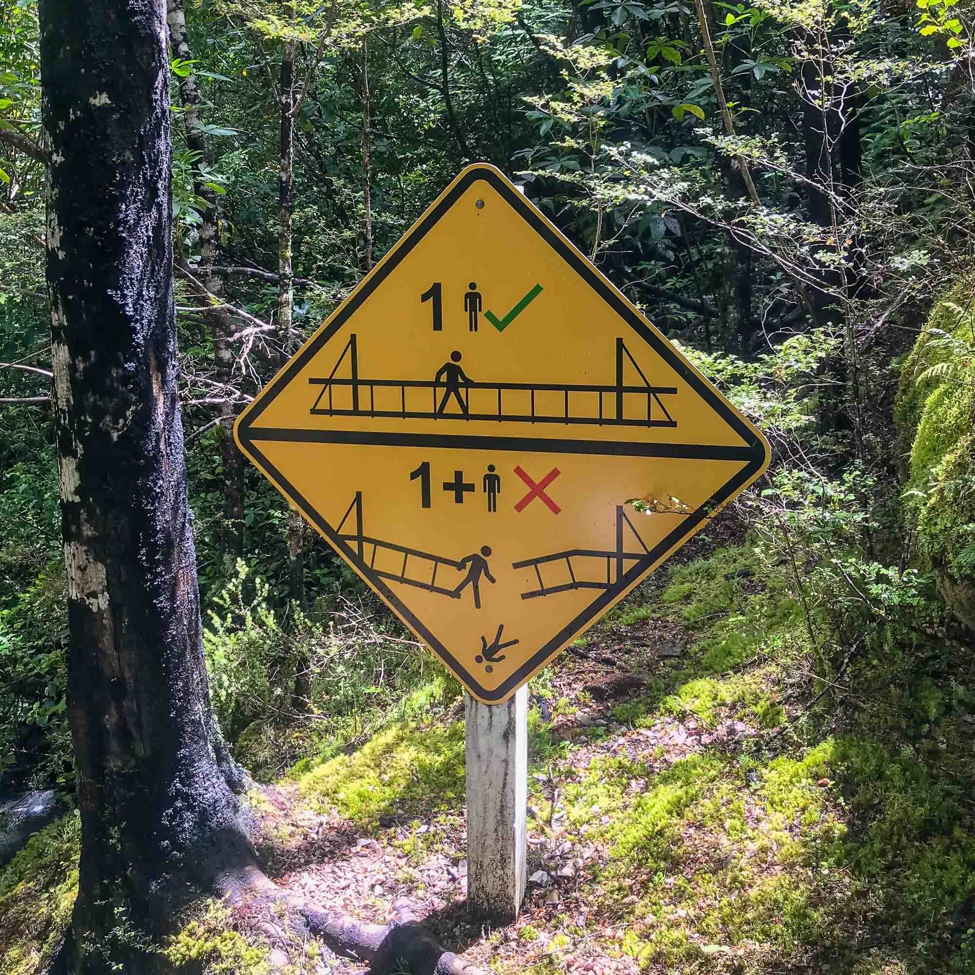
Said to be “Canterbury’s most climbed mountain”. There are four different approaches, all with differing length and difficulty. For this trip, I used the ‘Waterfall Trail’.
Time:
4.5 hours return.
3 hours up, 1.5 hours down. With dog, photos and a little detour to the waterfall.
Difficulty.
Hard.
Dogs:
Under effective control
This can be quite a tricky one, depending on which route you choose.
The Jacks Pass route seemed quite short and direct, the waterfall track definitely longer and gnarly in spots after the waterfall.
The pictures included actually come from three different trips.
1). Charlie at the summit - hiked on the hottest day of 2021 at the time, with my friend, Dave.
2). Waterfall and trail imagery was from a hike with my wife in 2020 - but she called it quits about 80% of the way up and refused to go any further.
3). Moody imagery was from a shoot with Montane and legendary explorer Jenny Tough in 2019 (just to show a different feel).
Plenty easy to follow this track, obvious and well marked. We did it from Christchurch, but could definitely do it by staying in Hanmer Springs, then end the day with a few cold ones in town followed by a soak in the pools. That’d be the way to do it.
Enjoy the usual mix of iPhone images (whilst walking) and proper camera snaps from the top.
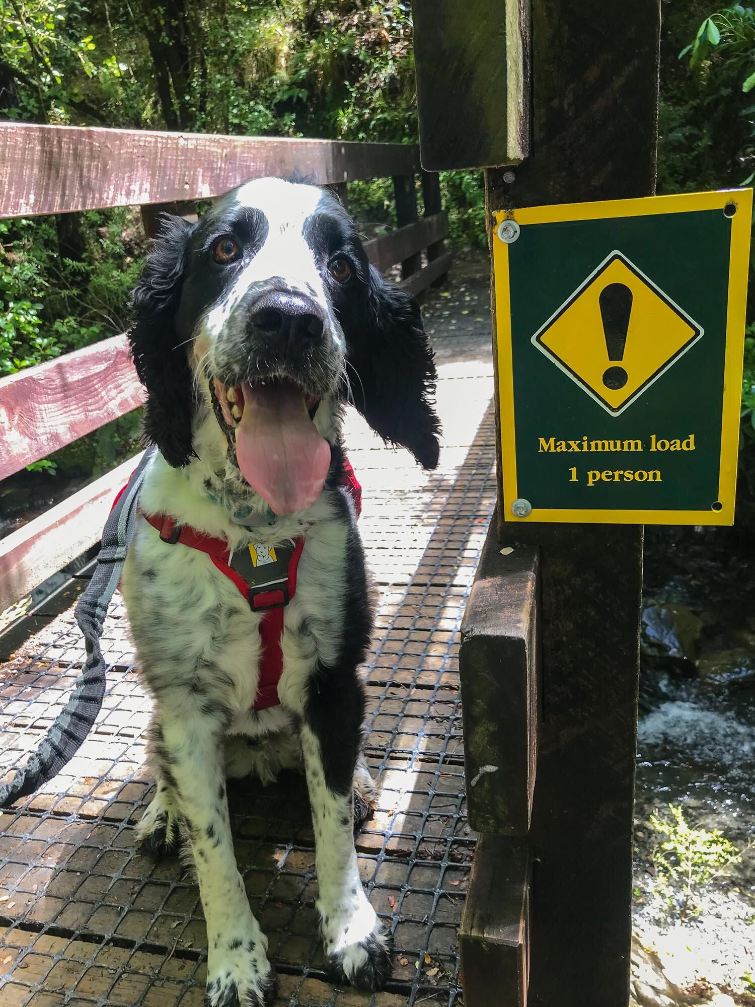
Star of the show, Charlie. Ready to go. He was on his lead the first time as it was really busy, second time we did it we were the only people there.
How about that waterfall? Such a treat on a hot day!

My wife enjoying a break from the uphill at the waterfall.
Below, iPhone trail images to get an idea of the track.

The view from 80% of the way, looking down onto Hanmer Springs.
Below, Charlie being very proud to make it to the saddle and then to the summit.


The above images are from the 2019 Montane shoot with Jenny Tough, showing some vastly different conditions.

Cap this off with another Charlie summit portrait. Good boy.
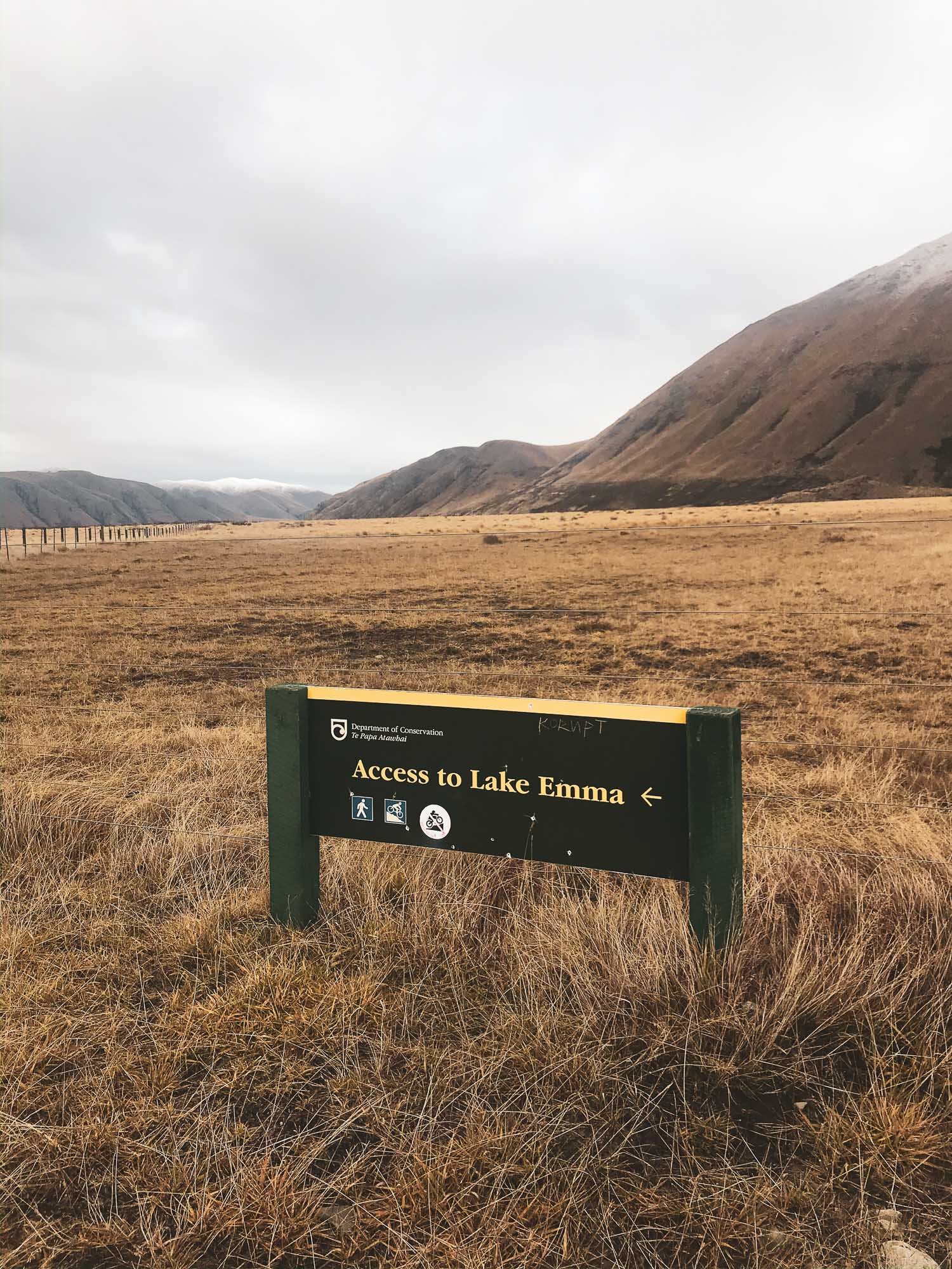
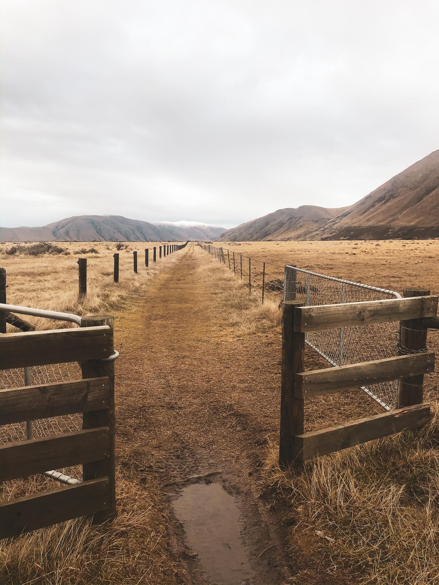
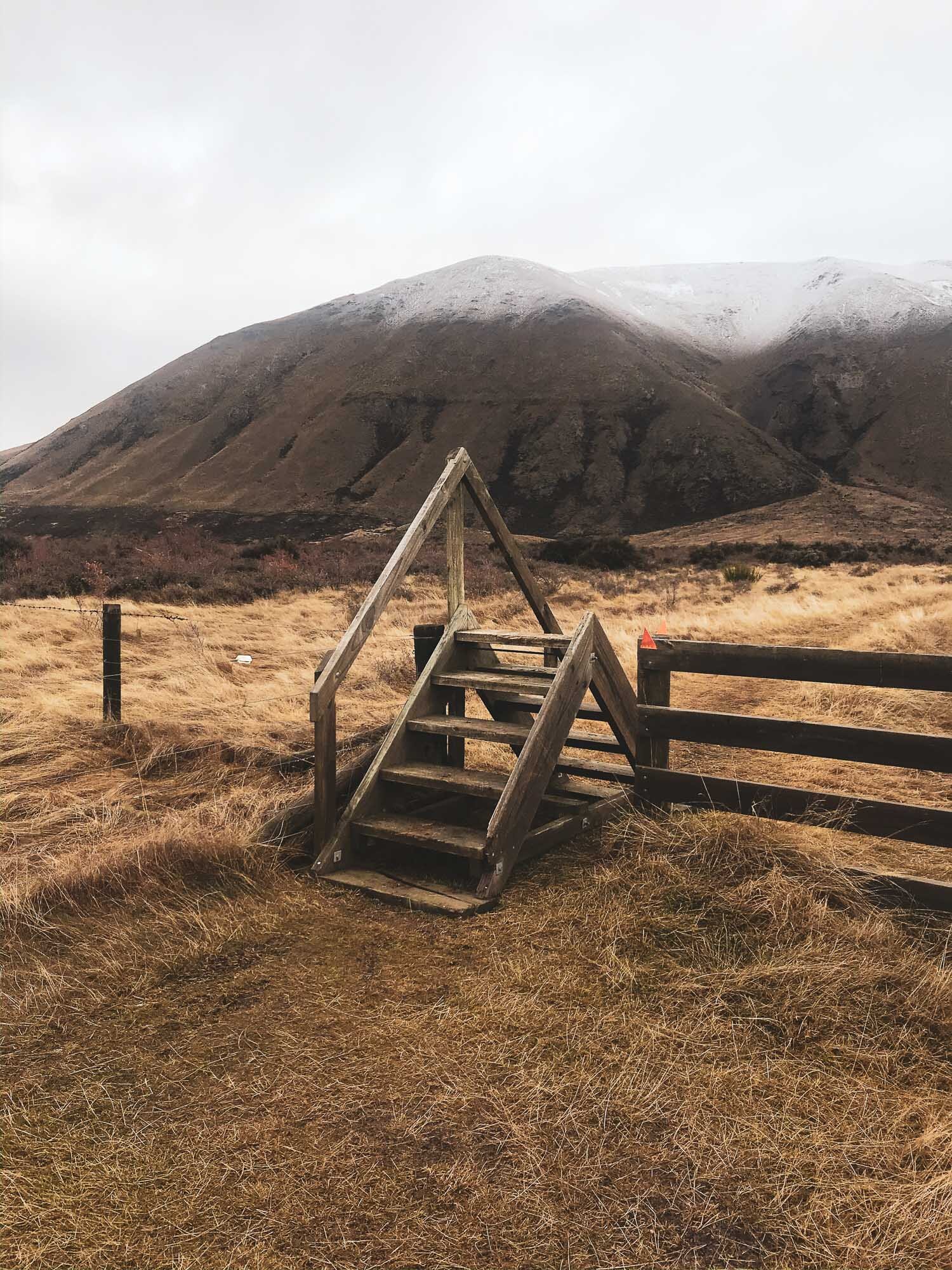
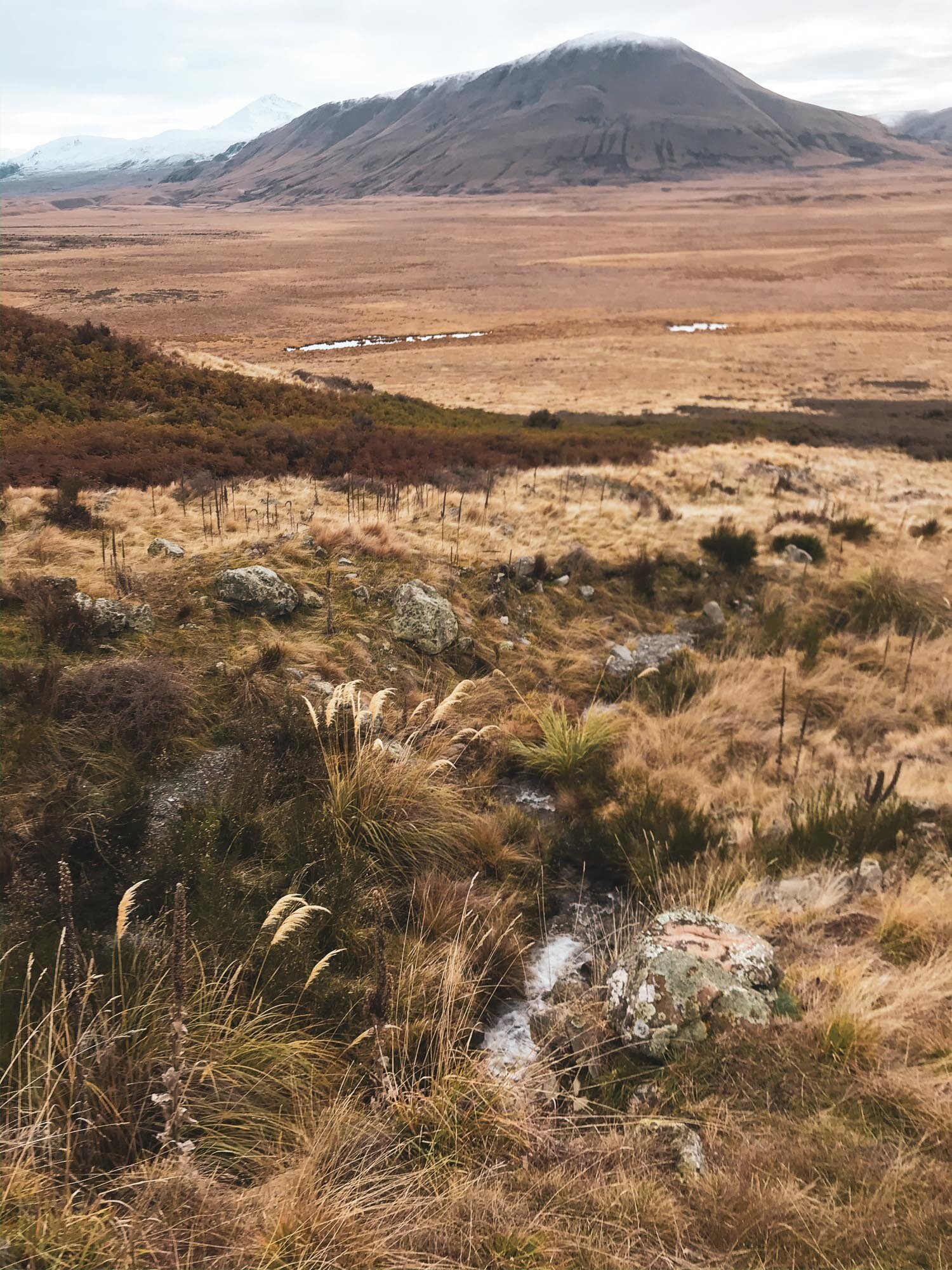
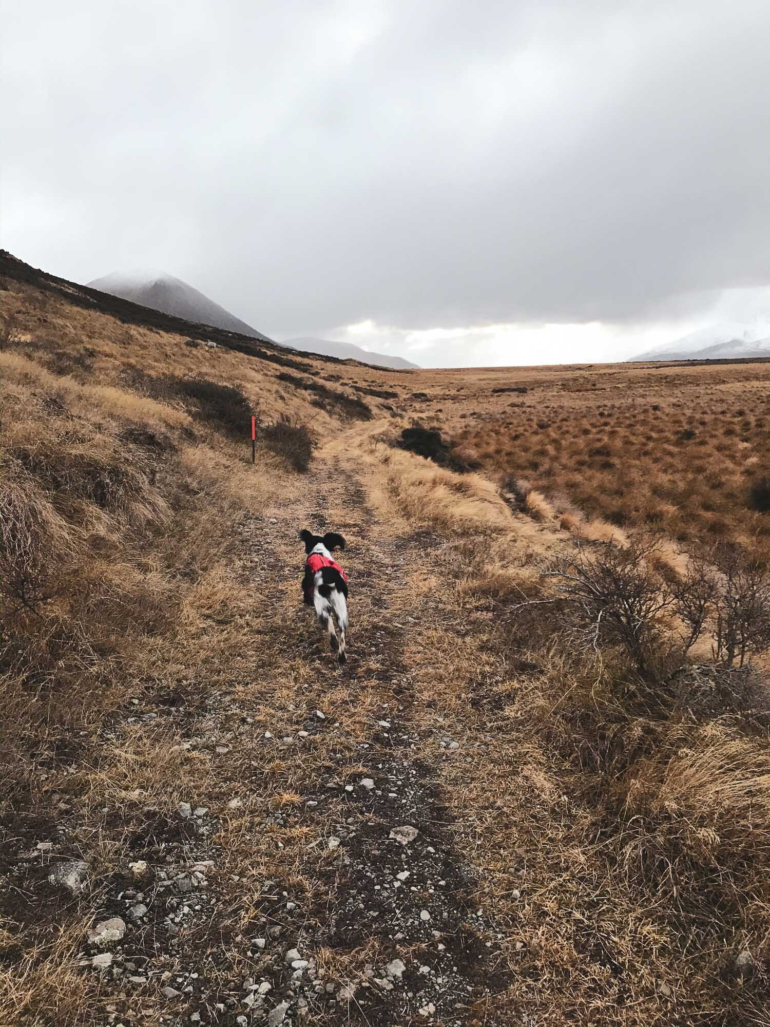
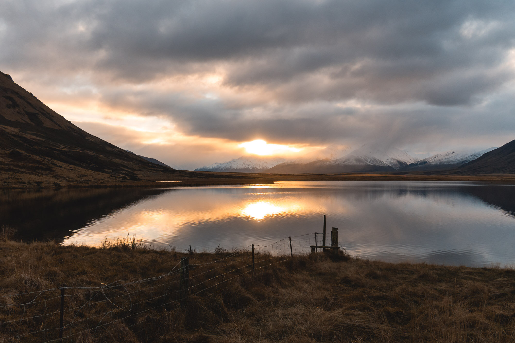
Lake Emma, Canterbury, New Zealand
South Canterbury
4 Hours Return
Easy

LAKE EMMA
South Canterbury
Location:
South Canterbury
For the track that I did, head out towards ‘Lake Camp’, on the road to Lake Clearwater. Once you get to Lake Camp, there’s a little shingle access road just on the left hand side of the road on the near side of the lake that leads along the tree line, head down that road, it ends up at a parking space where the trail starts.
Time:
4 hours return.
2 hours there, 2 hours back. With dog, photos and a little detour up the hill.
Difficulty.
Easy
Dogs:
Under effective control
This was a pretty flat and easy one.
It was the middle of winter, It had been raining in Christchurch for weeks, I just wanted to get out to somewhere the rain wasn’t. I had planned a potential route up Mt Harper (the mountain behind the walk) but decided against it when I arrived and saw how much snow was up there, and how late in the day it was.
I decided to take the marked trail from Lake Camp, round to the Lake Emma Hut. Good distance, about 15km.
The terrain is easy no steep bits, no gnarly bits, EXCEPT there’s a river crossing that also ran down the path for a bit. Not sure if this is always there or if it was just the time of year and the weather conditions.
You very well may get wet feet here.
It was a very quiet day, very still, no-one around (which was good because Charlie was barking a lot, he seemed very excited to be out on this walk).
Note: They really don’t want you to have your dog at Lake Camp or Lake Clearwater. There are lots of signs telling you that. You can take your dog on the hike, but he’s not welcome by the lake!

A very still Lake Camp, complete with locals out for a swim.

The track down to the parking spot, you can see the sign in the distance.

Ready to go.

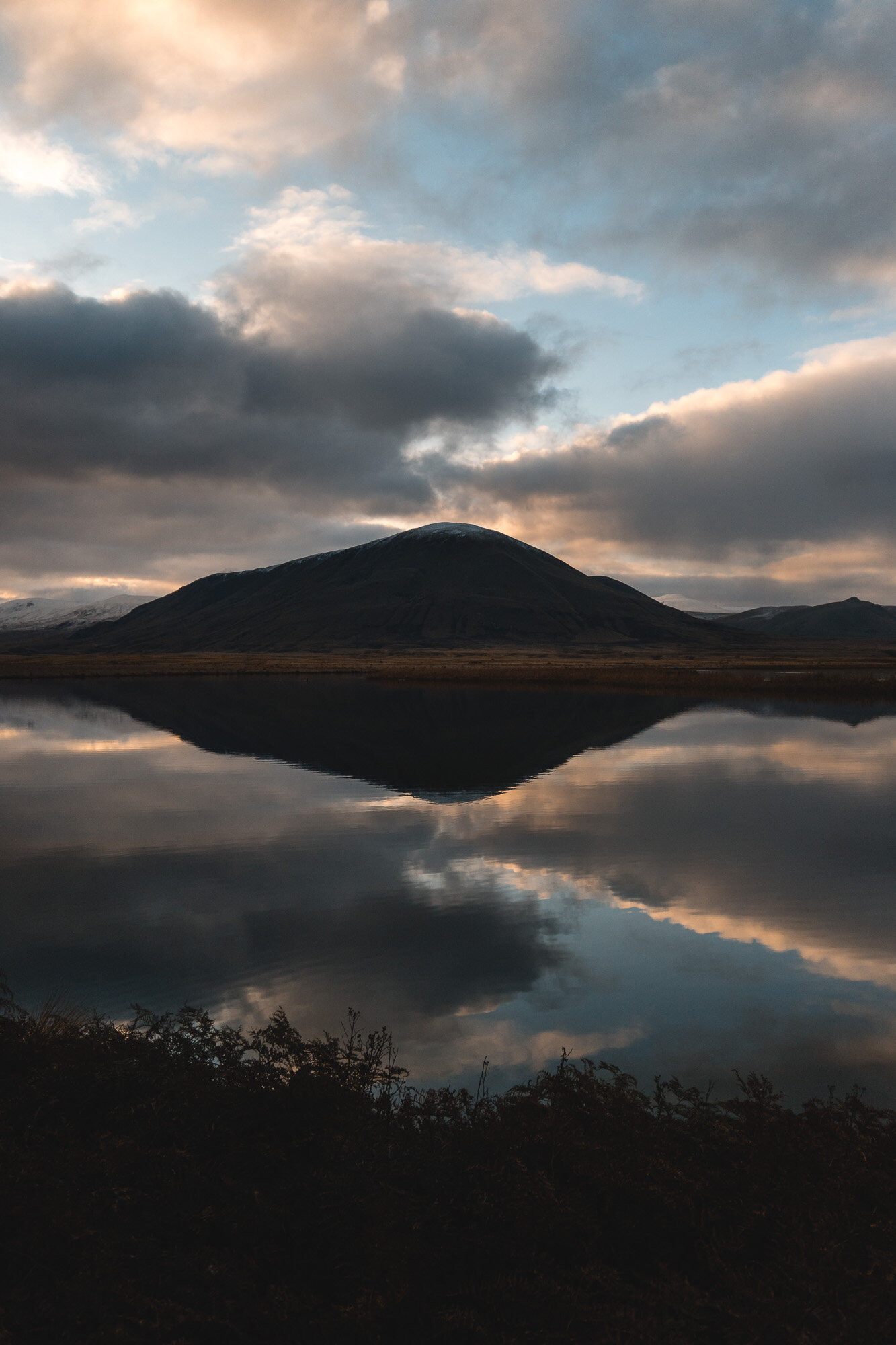
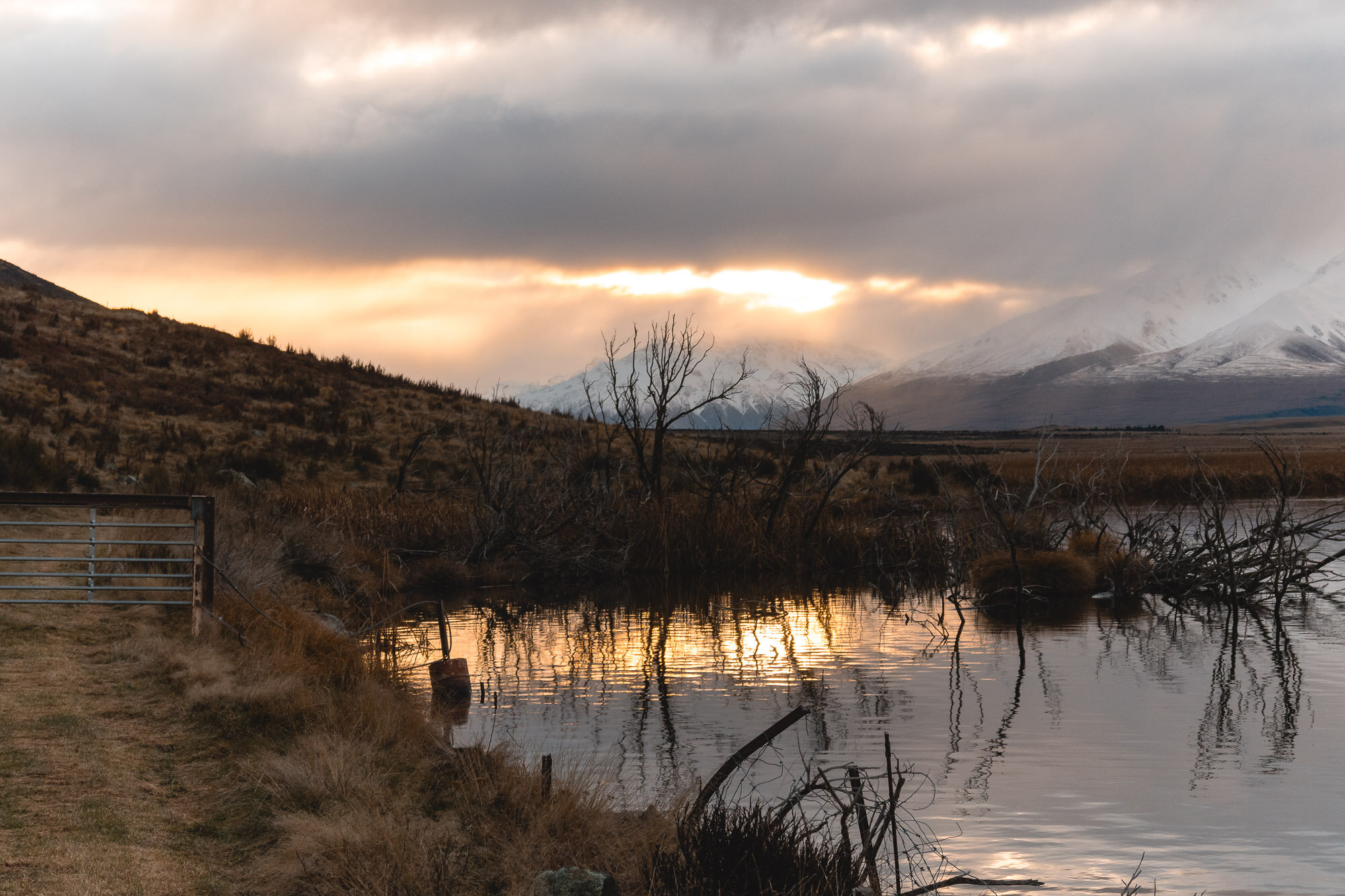

Made it to the hut, just in time for a bit of a sunset.

Lake Emma Hut, good spot for lunch, not a hut you can stay in though.


Regulation ‘made it to the destination’ shot.

Lake Emma Hut perched next to the calm water. Very picturesque. Time to head back.


Nice bit of colour in the reflection, but weather is rolling in from the West.

I try to keep my feet dry. Charlie doesn’t.

Cloud and a bit of snow closing in.

Back out the way we came.
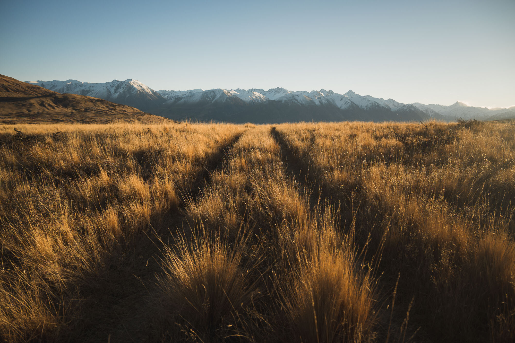
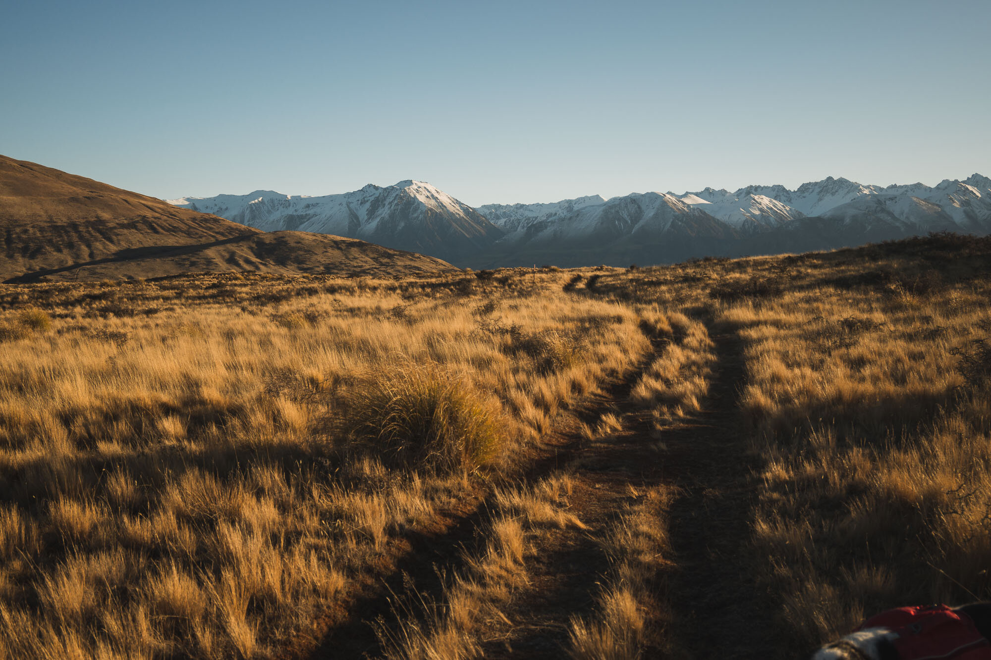
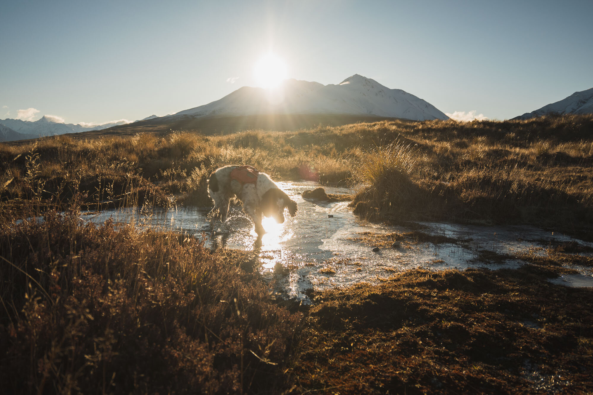
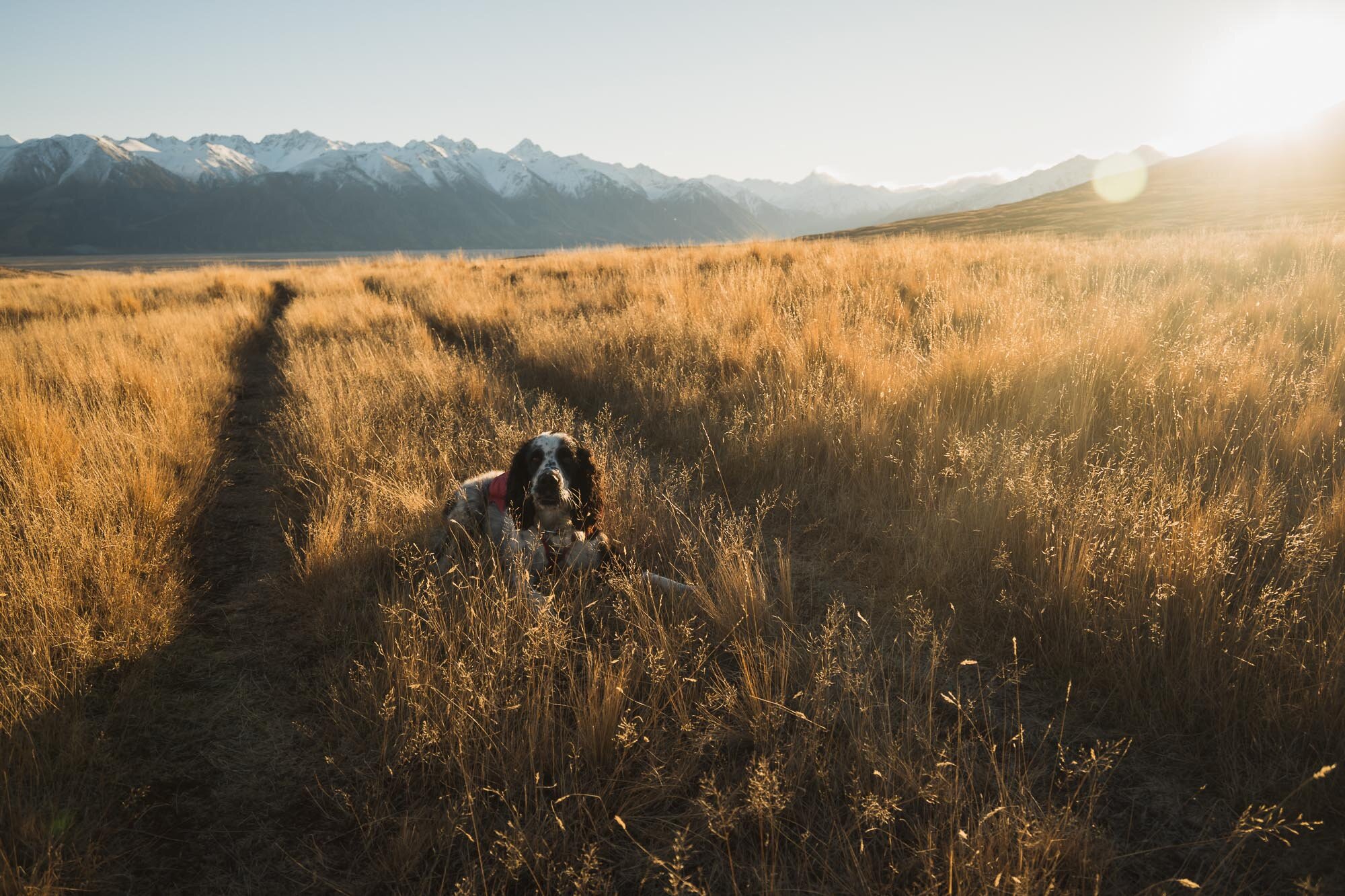
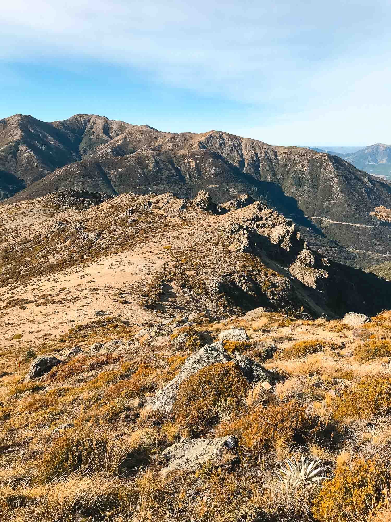
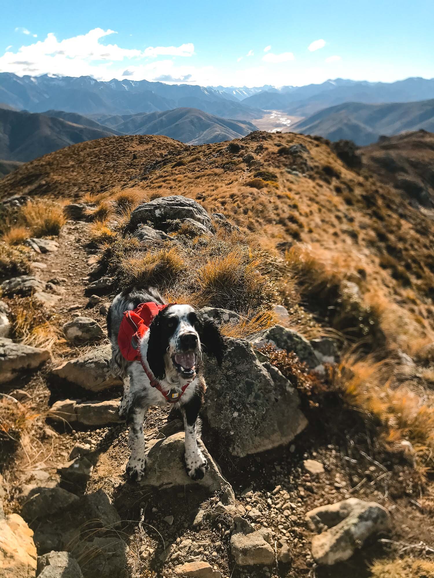
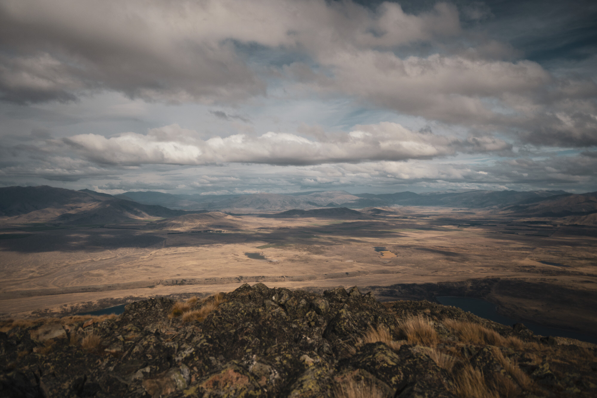
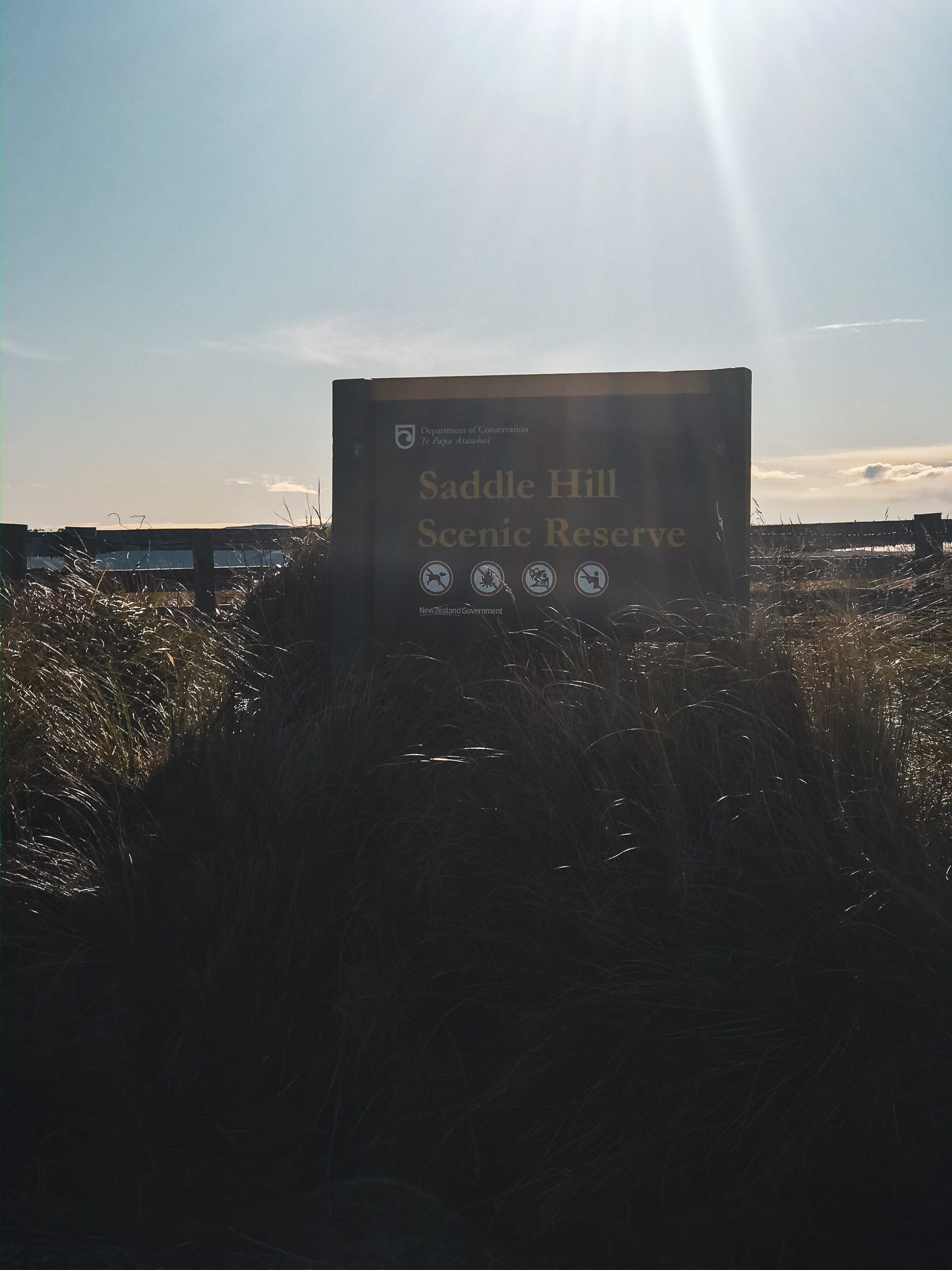
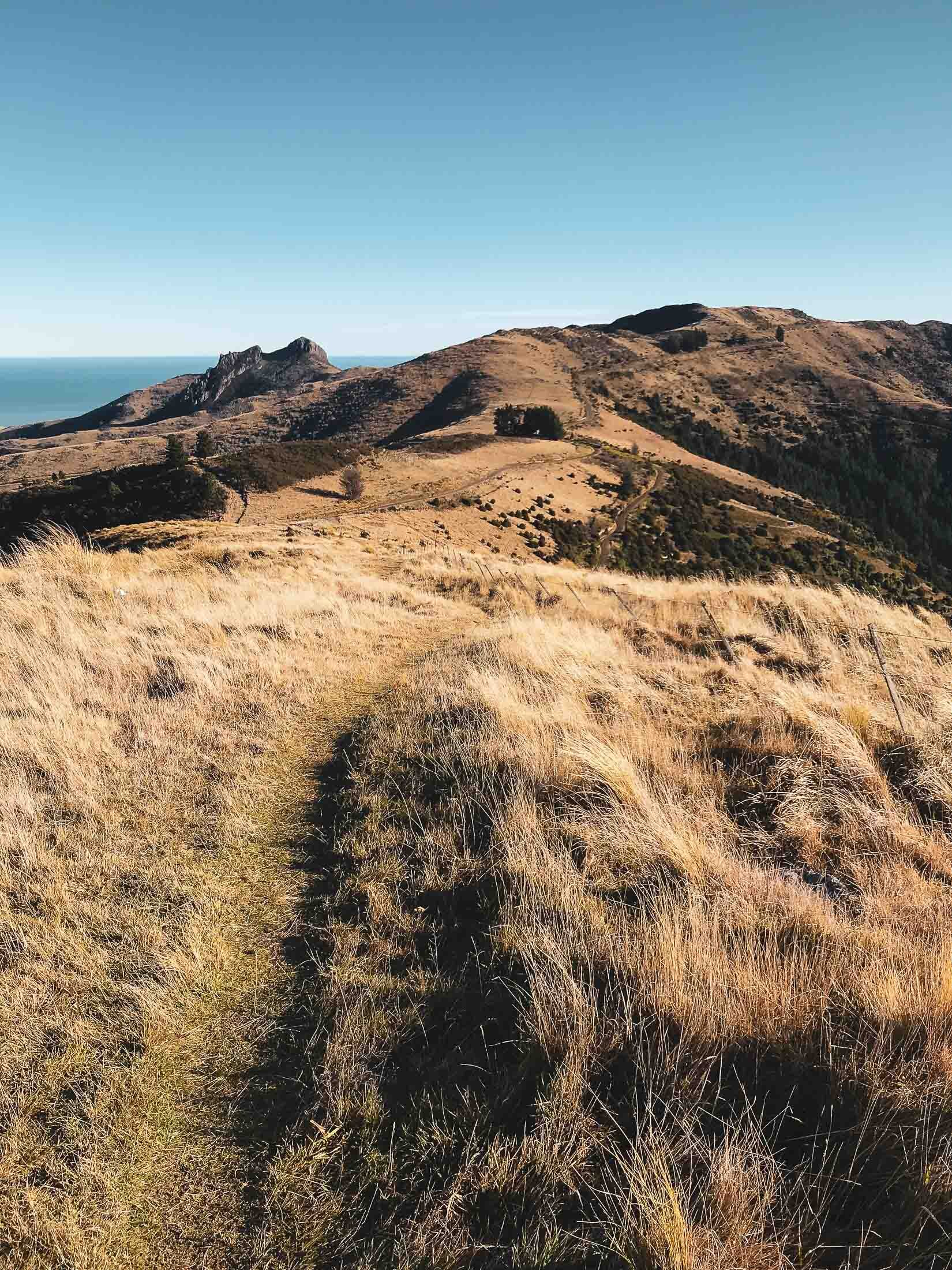
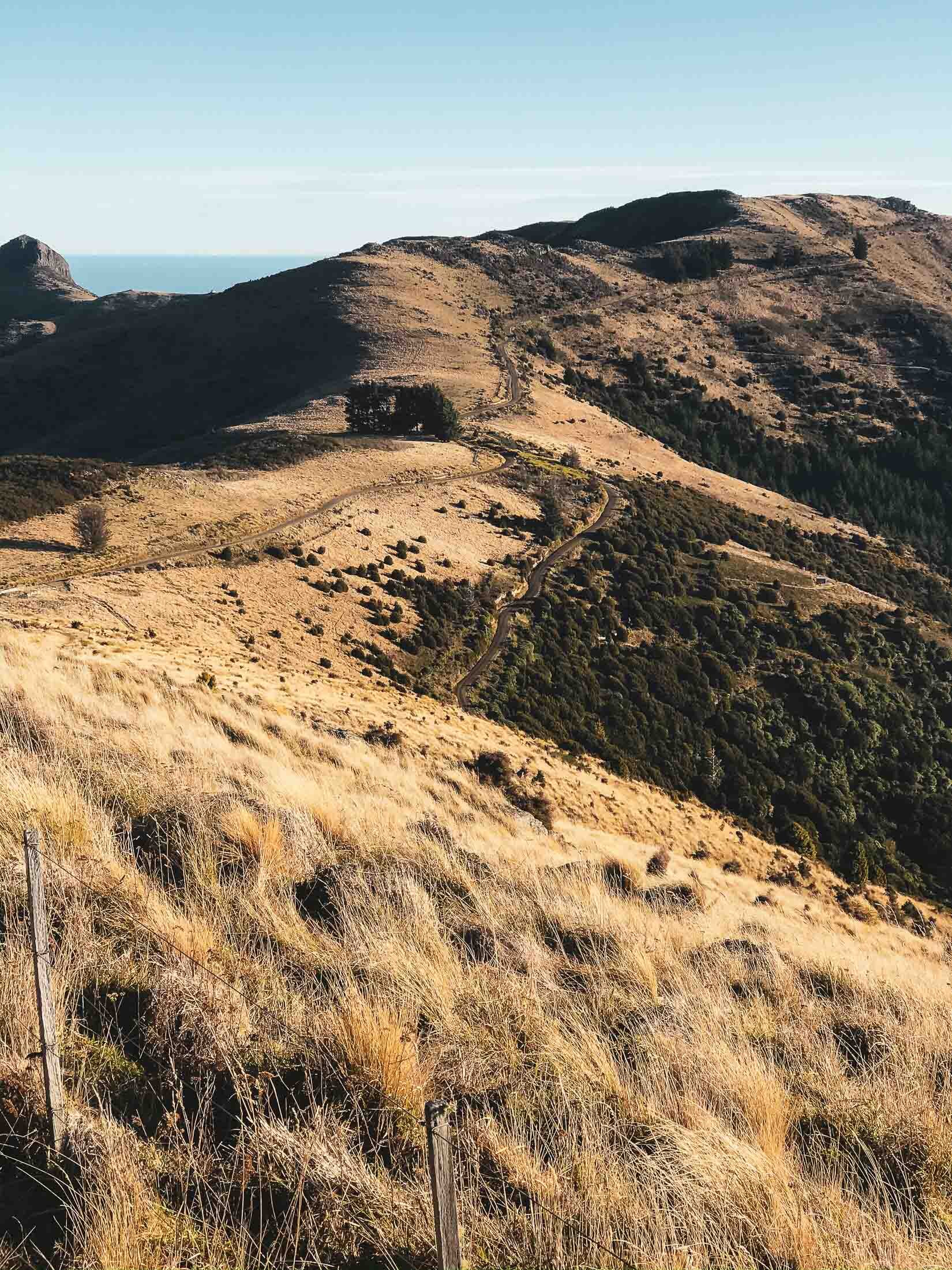
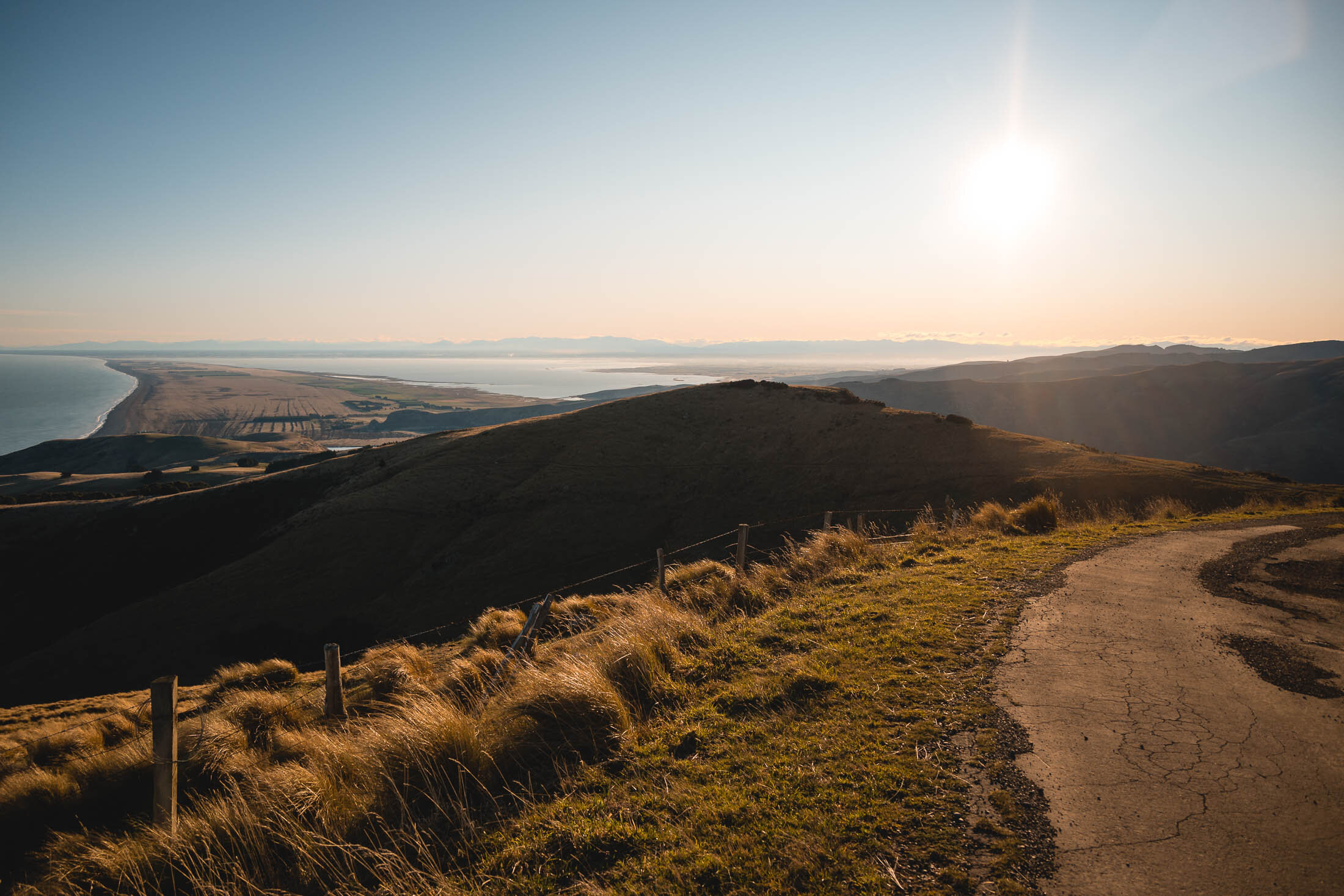
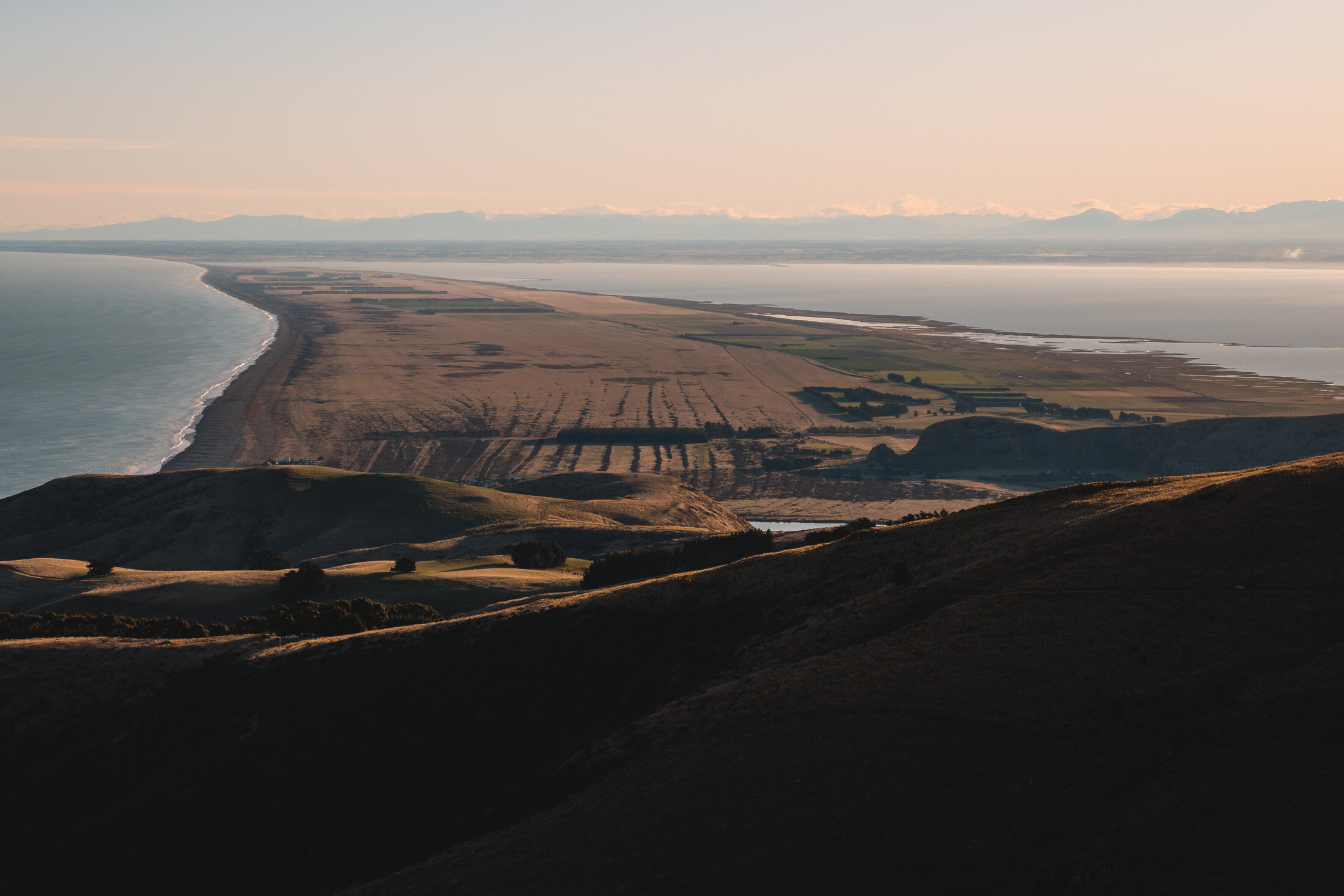
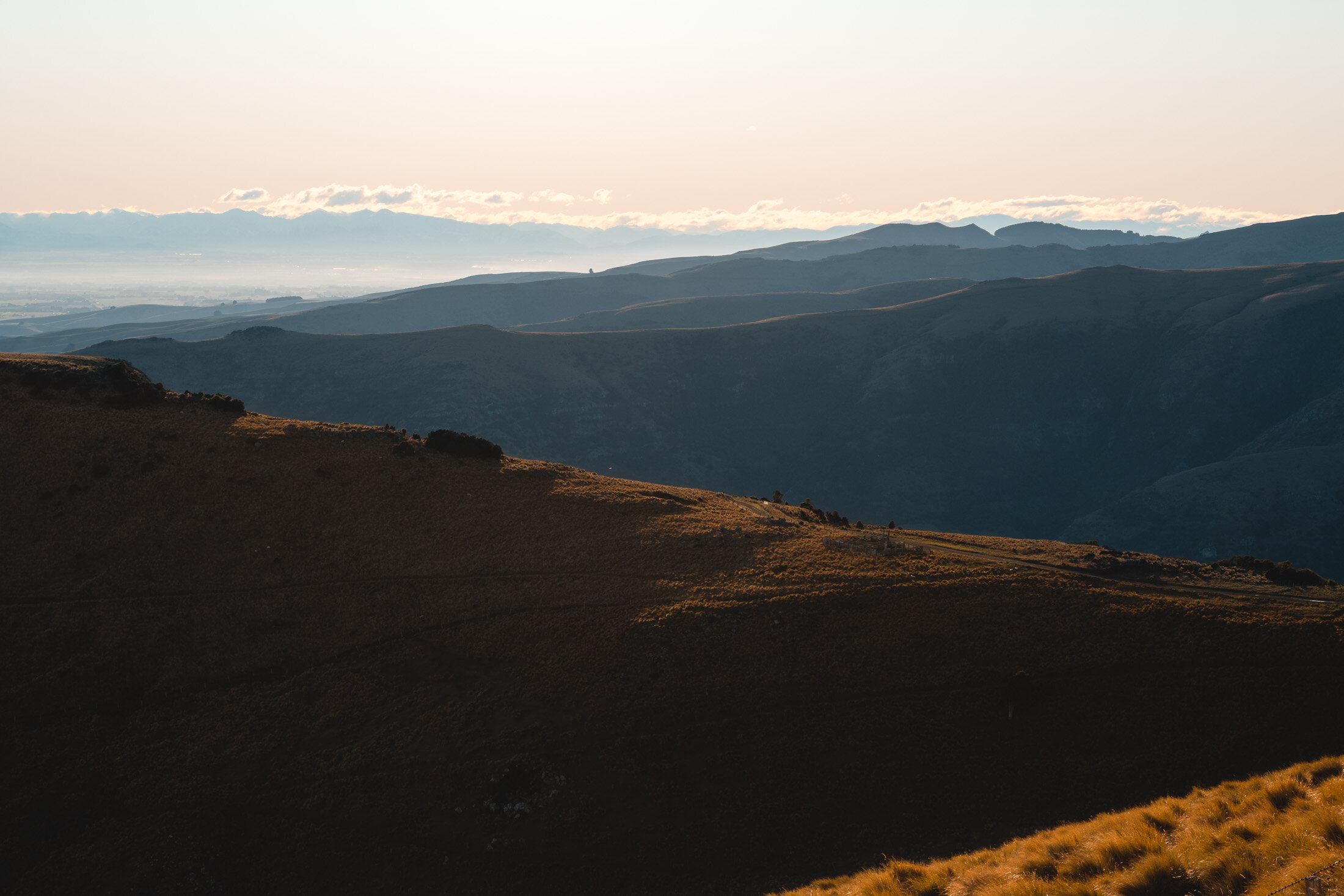
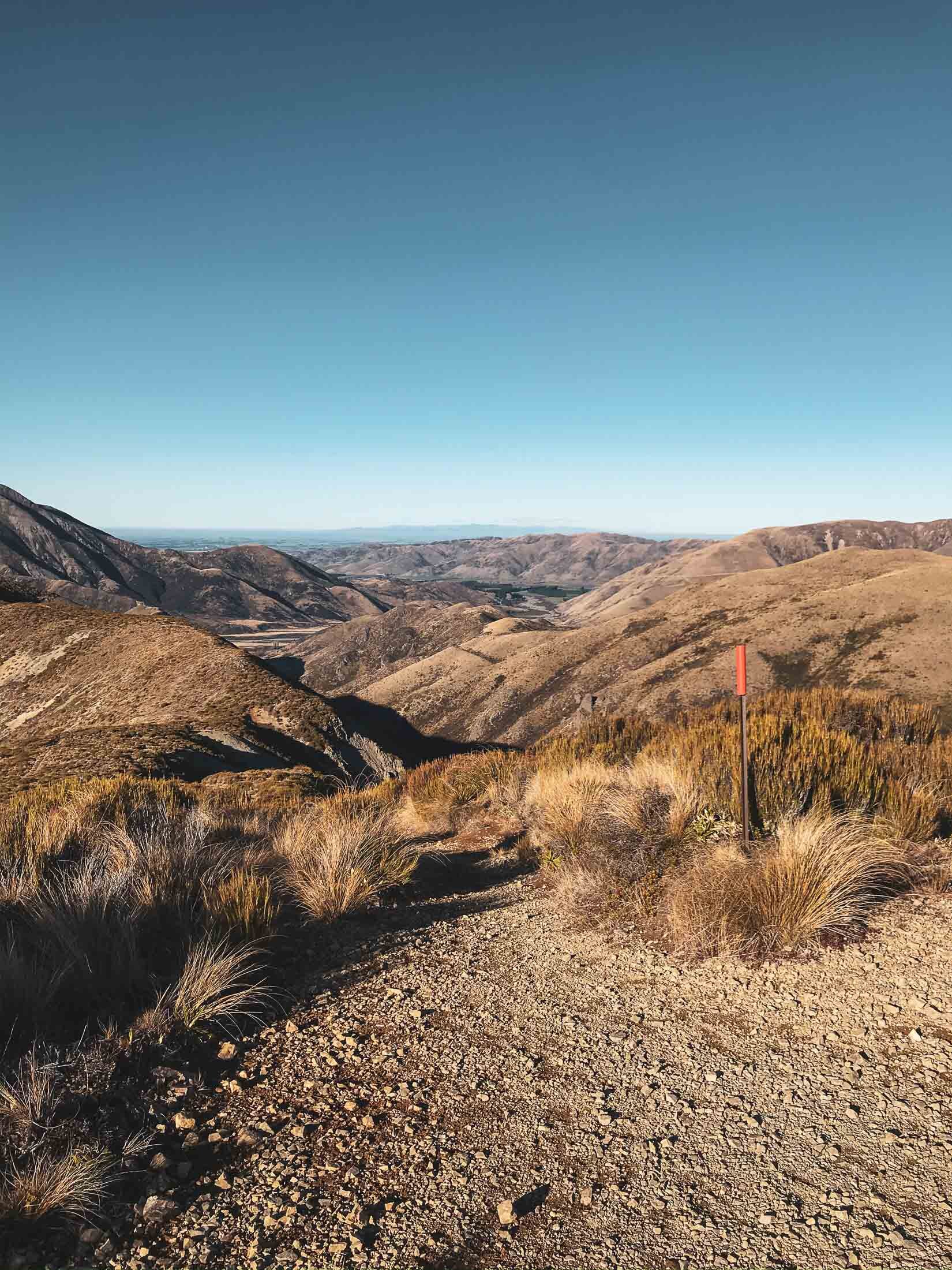
Saddle Hill, Canterbury, New Zealand
Banks Peninsula
1.15 Hours Return
Easy
SADDLE HILL
Banks Peninsula
Location:
Banks Peninsula.
Find Saddle Hill Scenic Reserve on Google Maps, or use these coordinates here: -43.808462, 172.843901
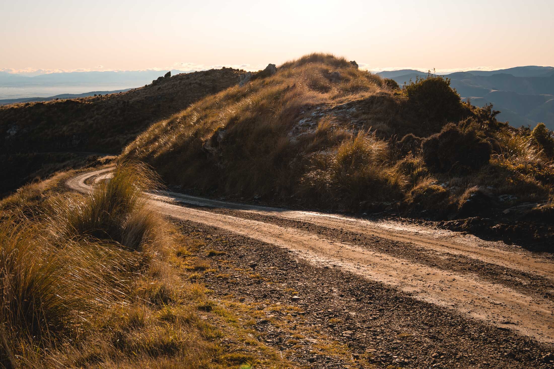
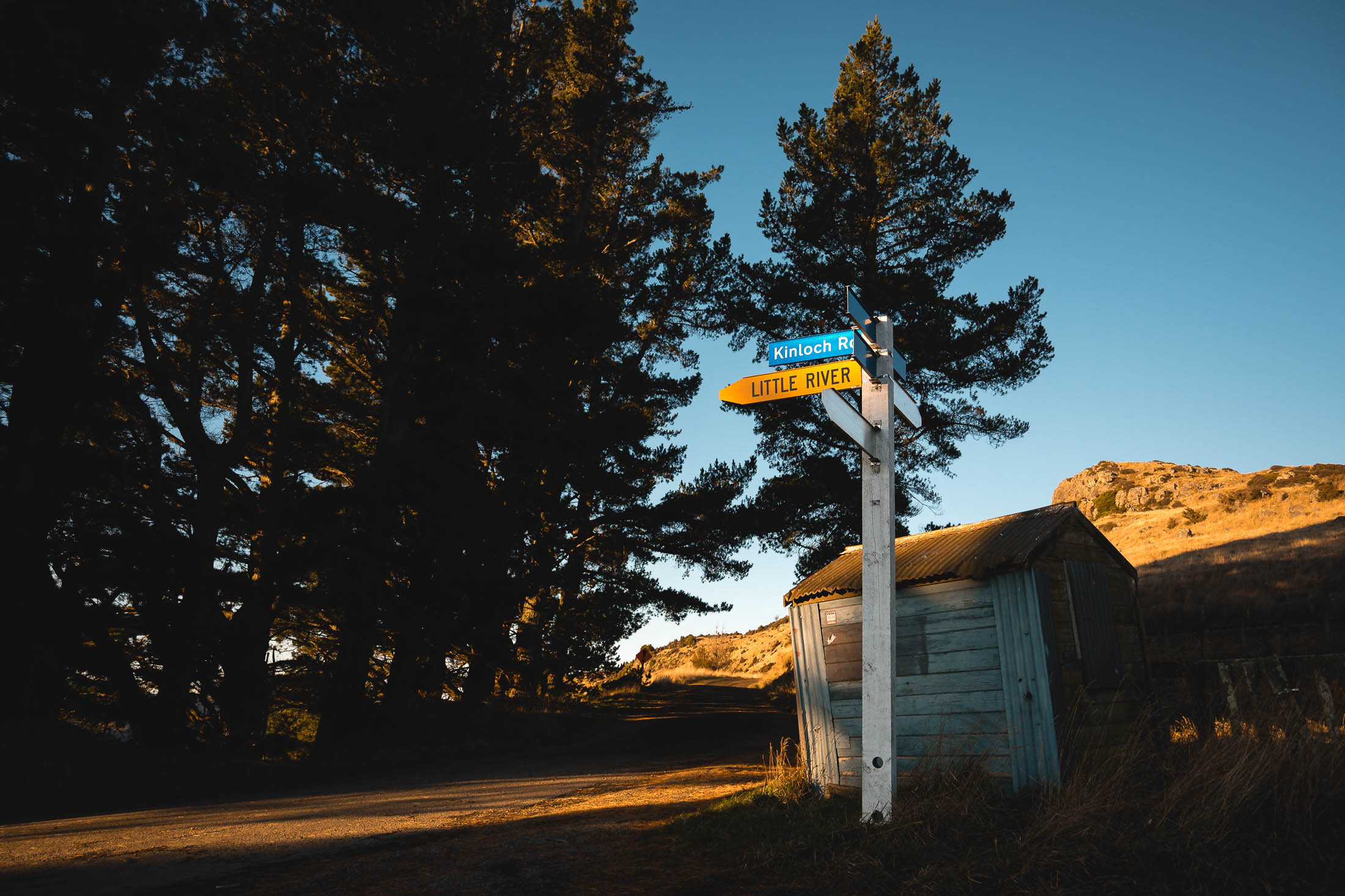
There are two potential ways up, the roads are gravel in places. Winter Conditions might make the road tricky. Try coming back down Kinloch Road, for a scenic loop.
Time:
1.15 hours return.
45min up, 30min down. With photos.
Difficulty.
Easy
Dogs:
Contradicting signage.
DOC website says “dogs allowed under effective control”
The sign says “no dogs”.
Best done on a fine clear day.
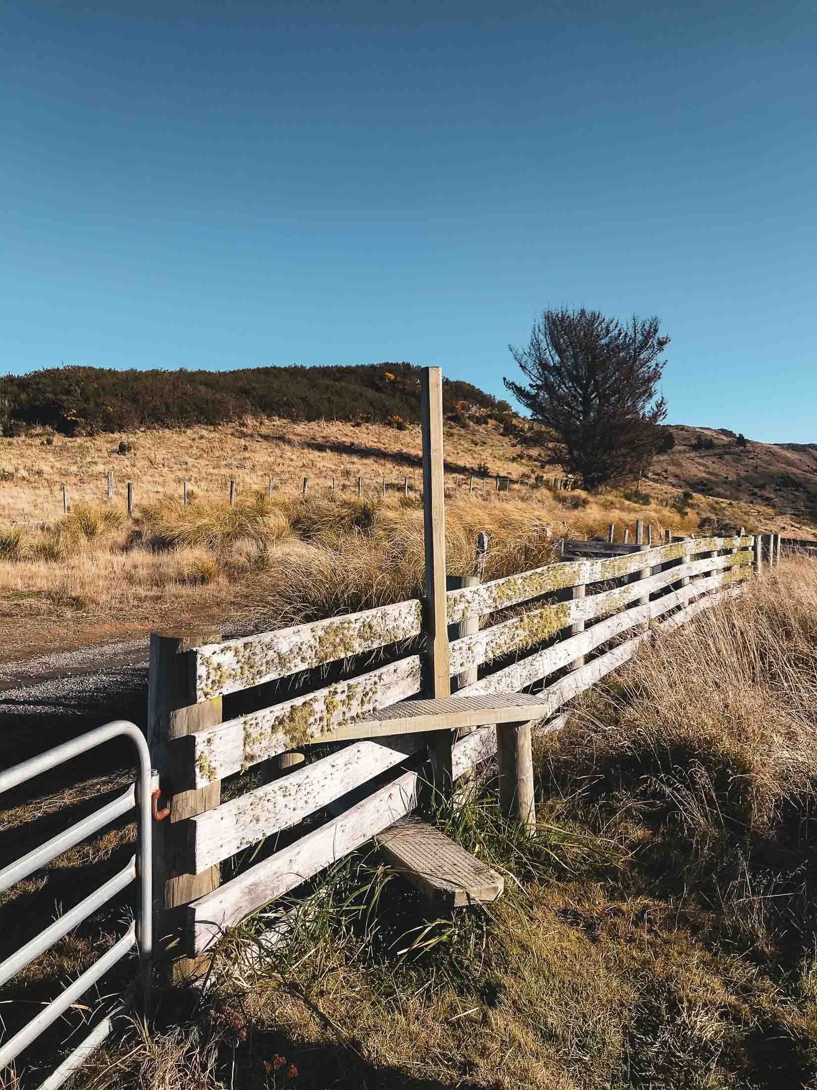
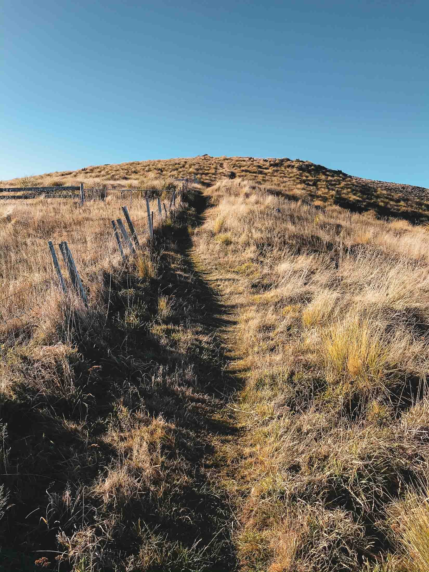
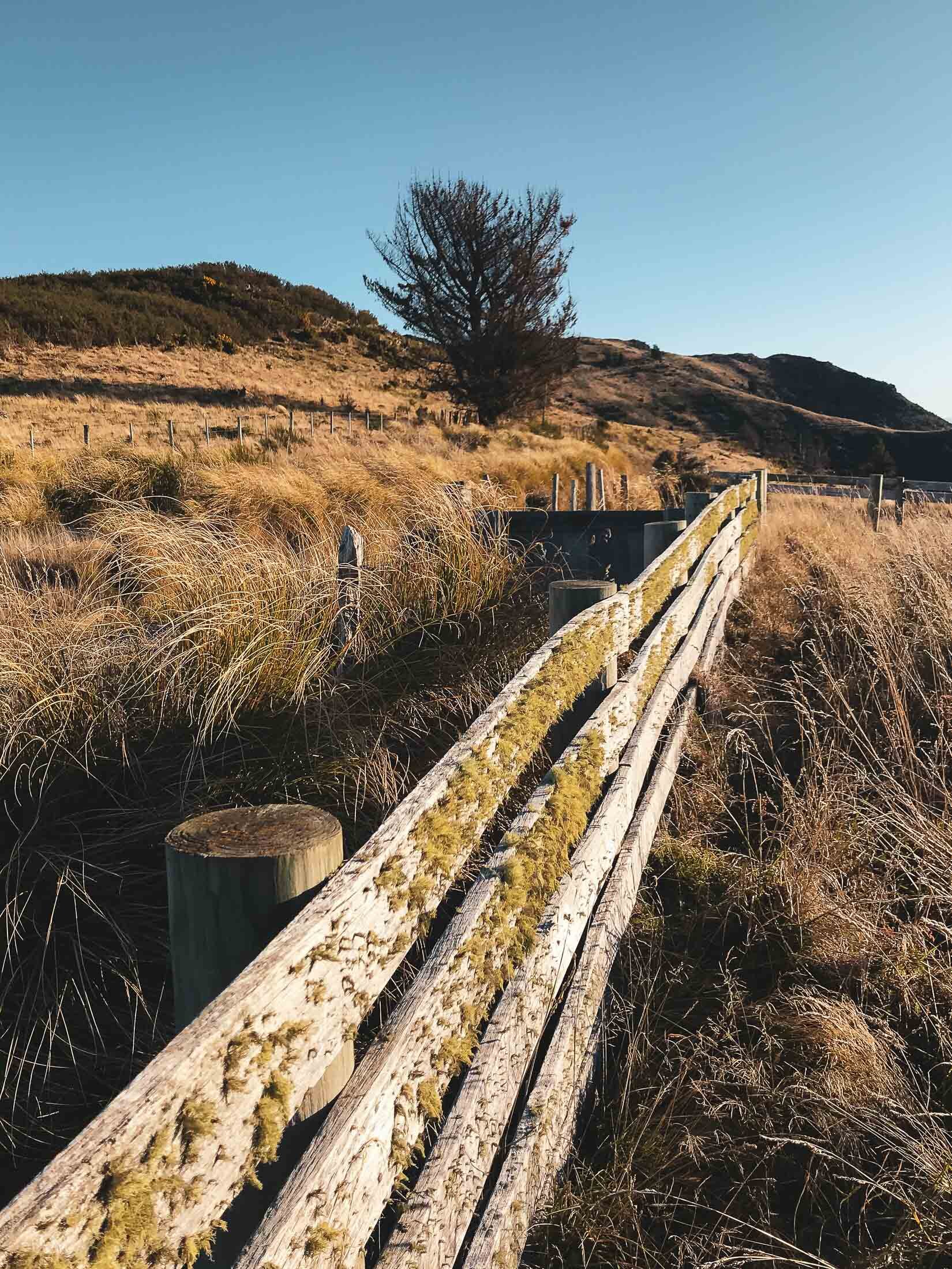
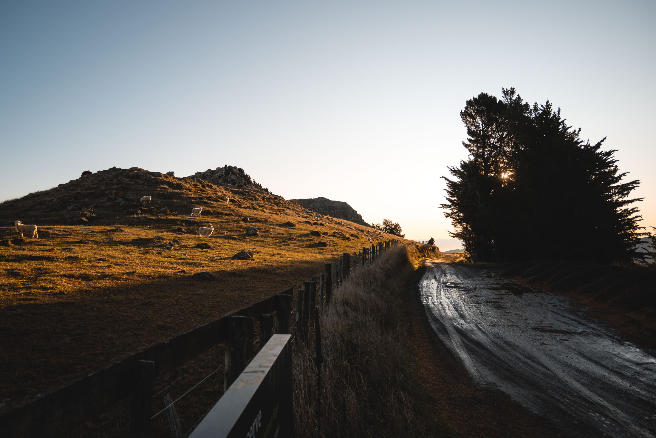
You climb over the stile by the old sheep yards. From there follow the track and markers up a short climb.
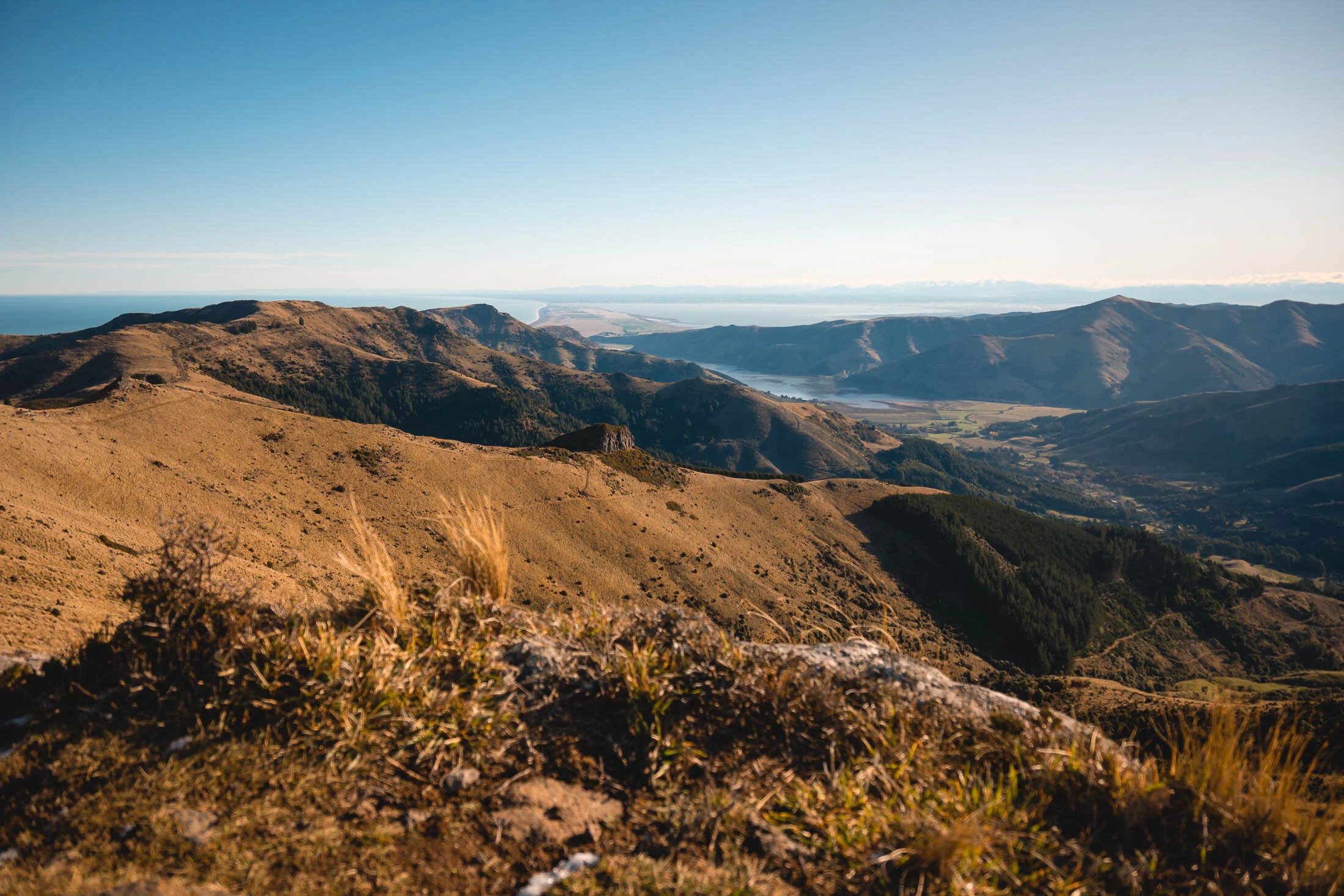
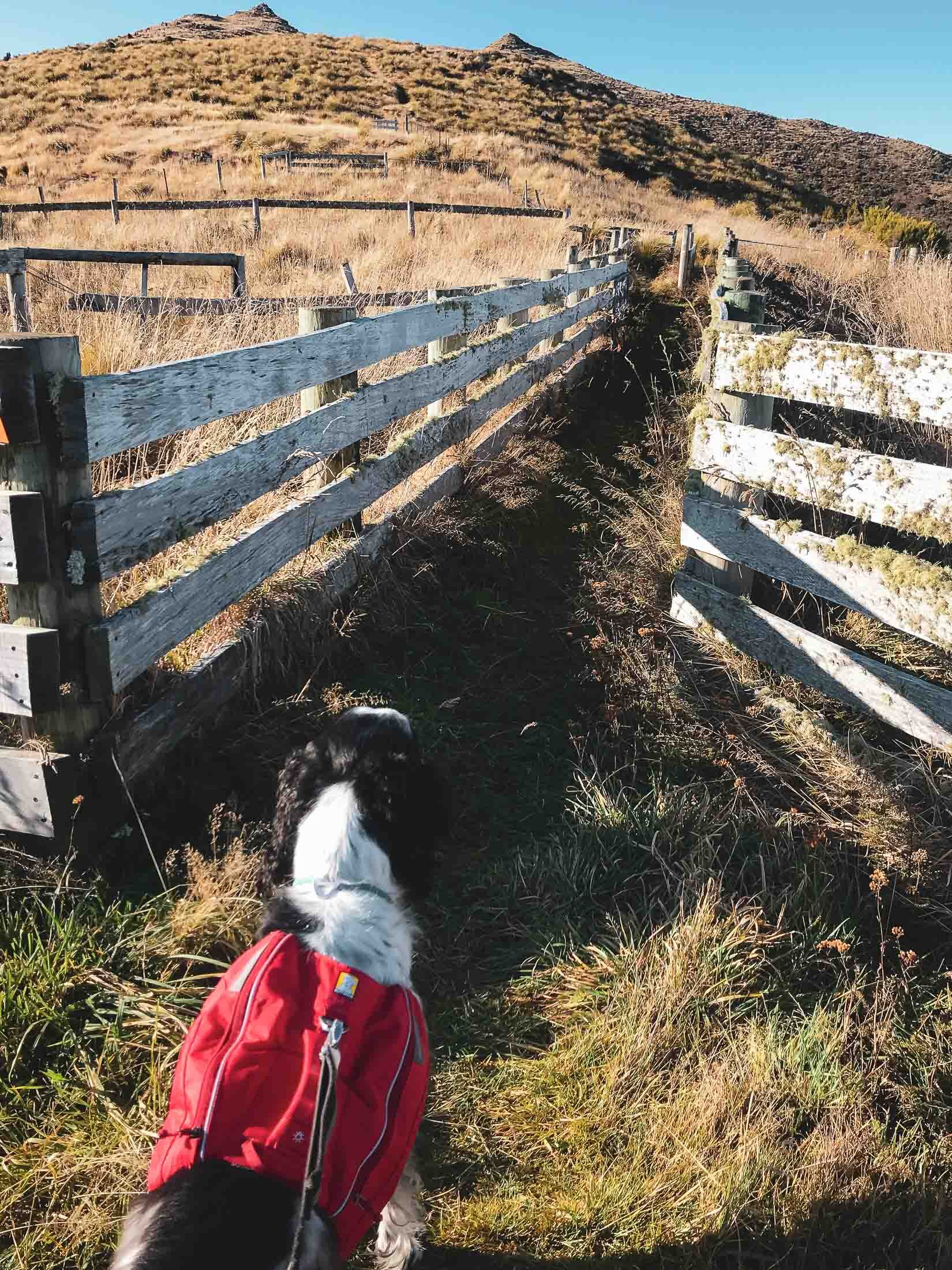
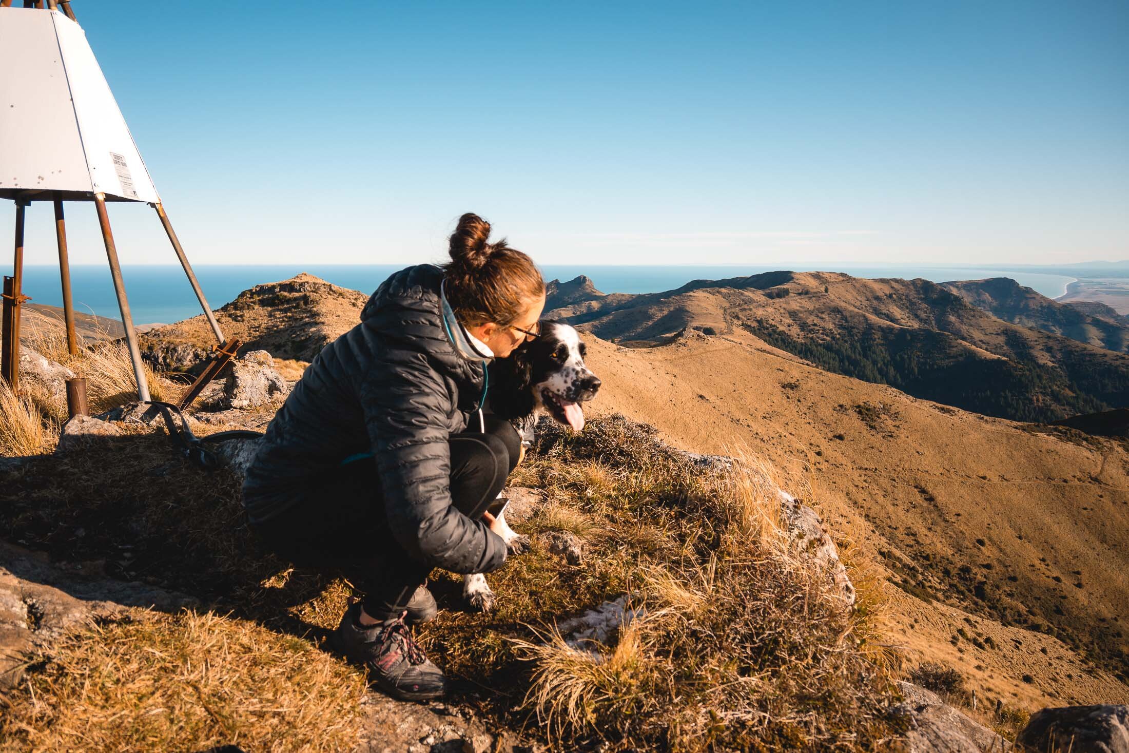
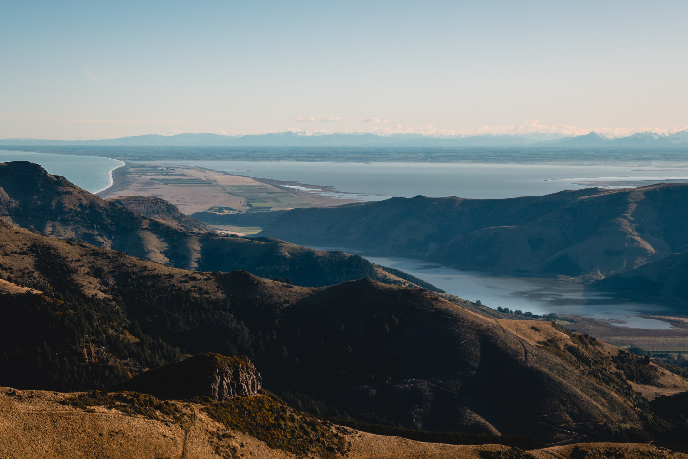
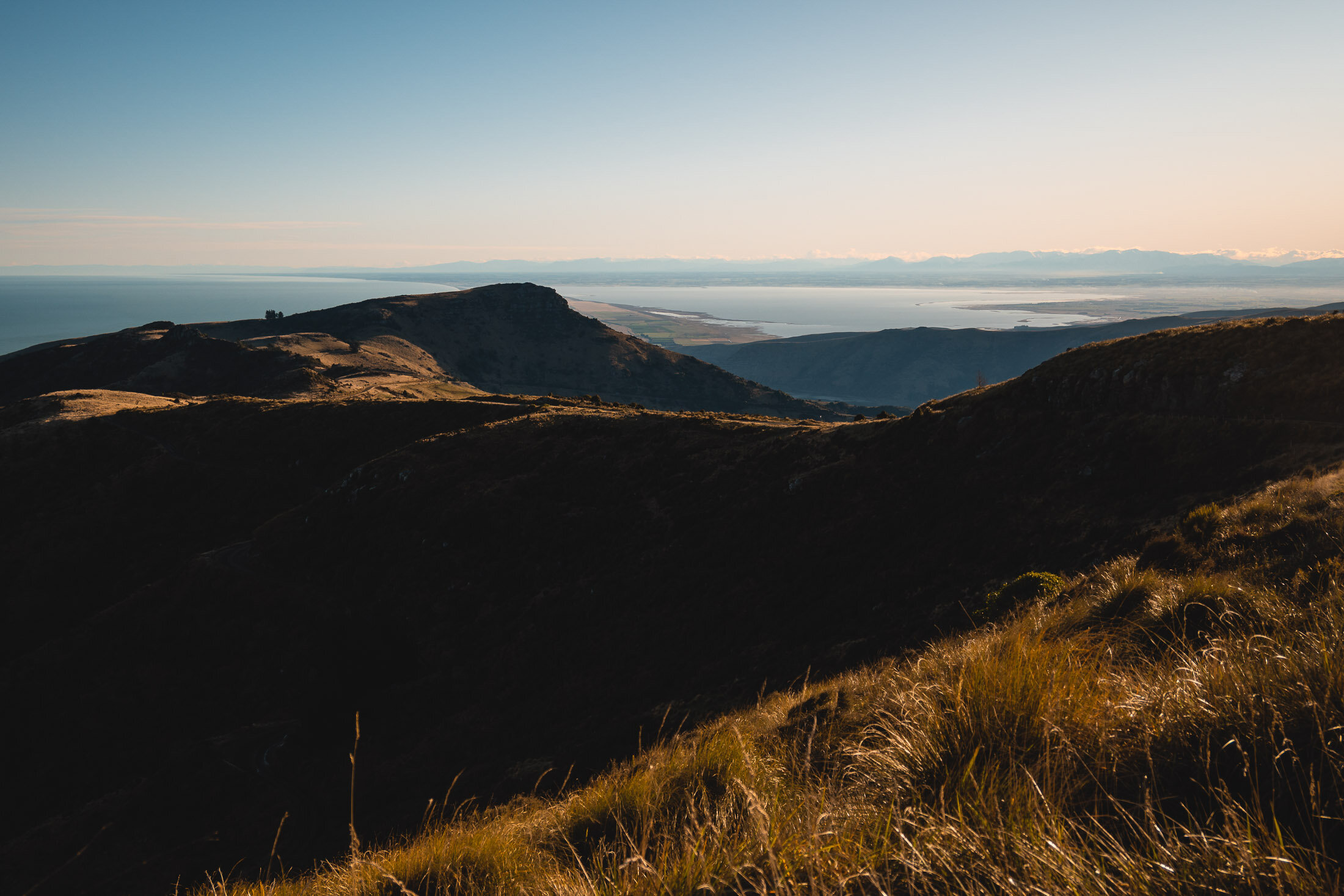
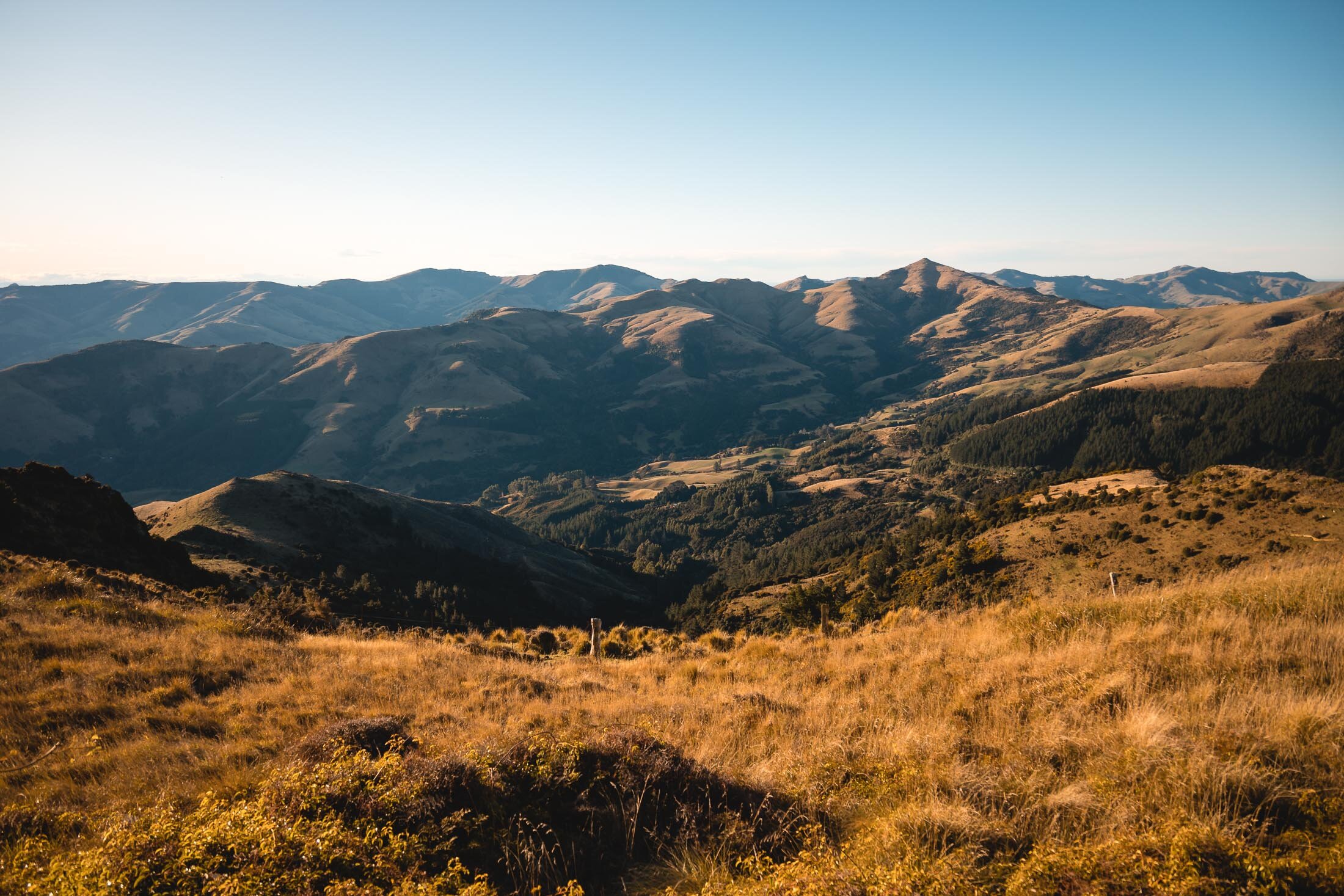
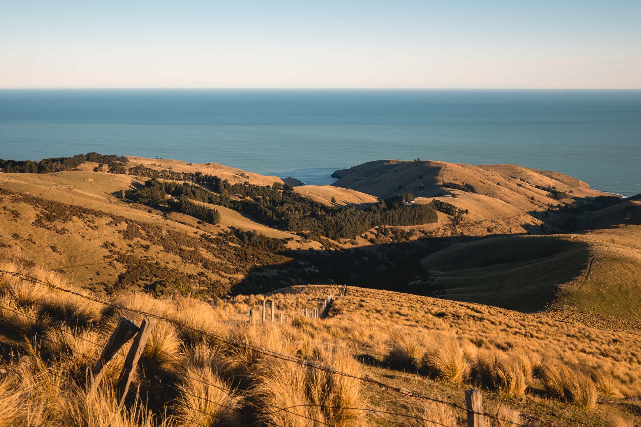
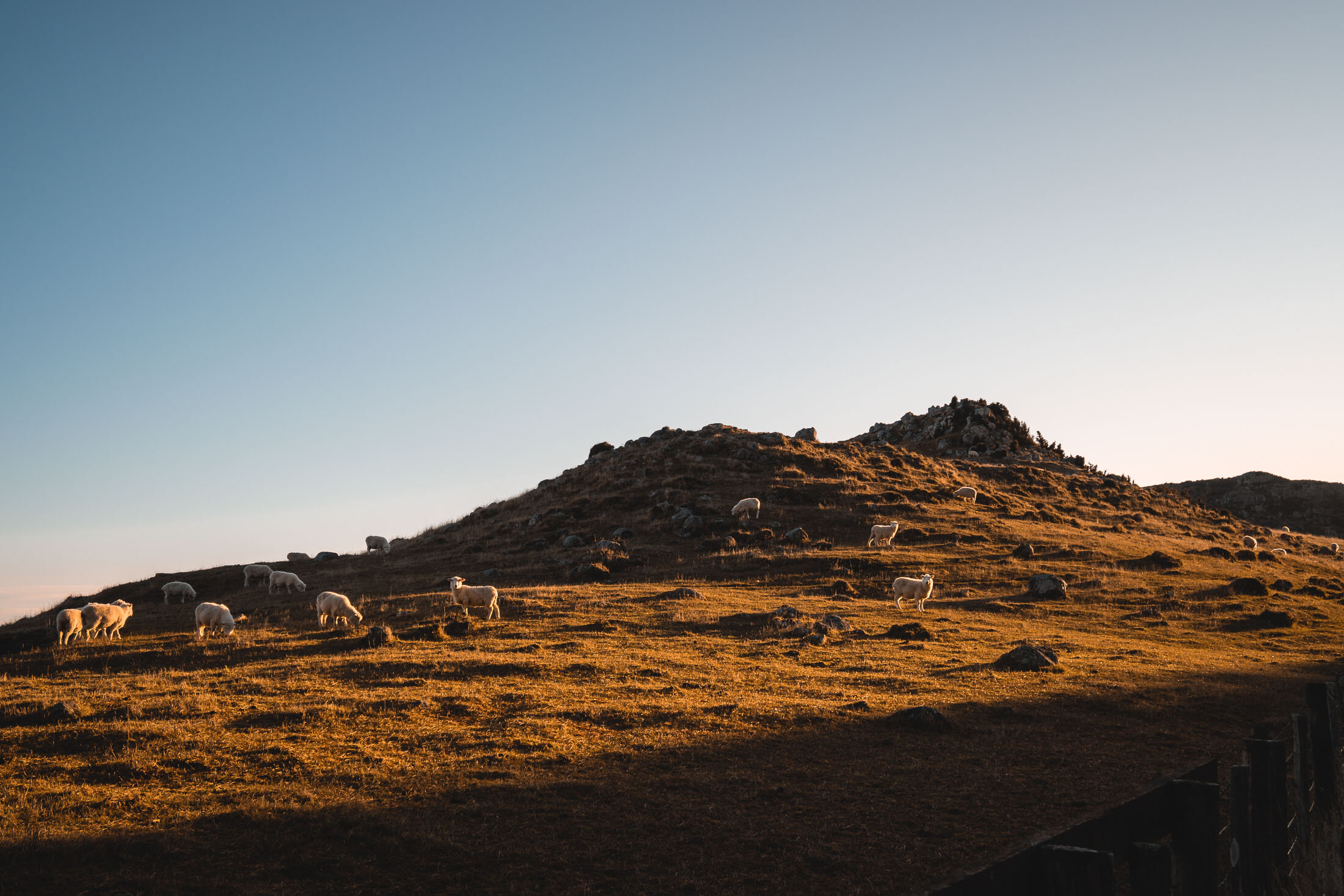
The track soon levels out and leads around a basin where you can look down on regenerating bush and the popular climbing routes on Coffin Rock. Continue along the track to the trig station and enjoy the stunning views over Akaroa Harbour.
The summit of the track offers an amazing view looking back on the Southern Alps and the unique landforms of Te Waihora and Kaitorete.
Exposed in places, dress appropriately.
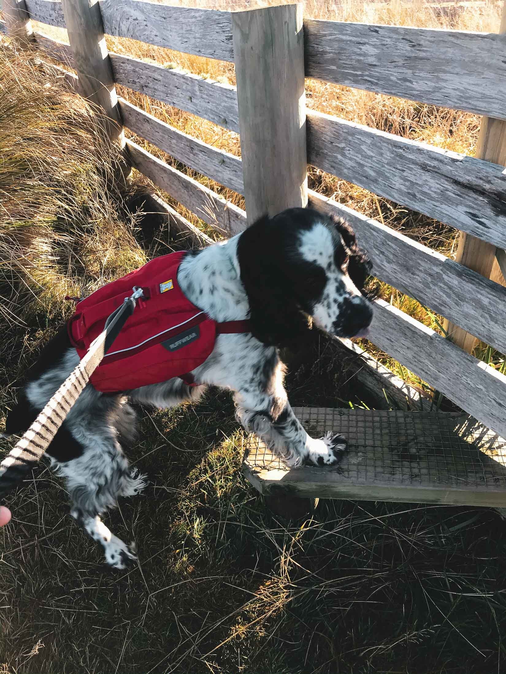
Starting off at the old sheep yards, Charlie is pumped to get started.
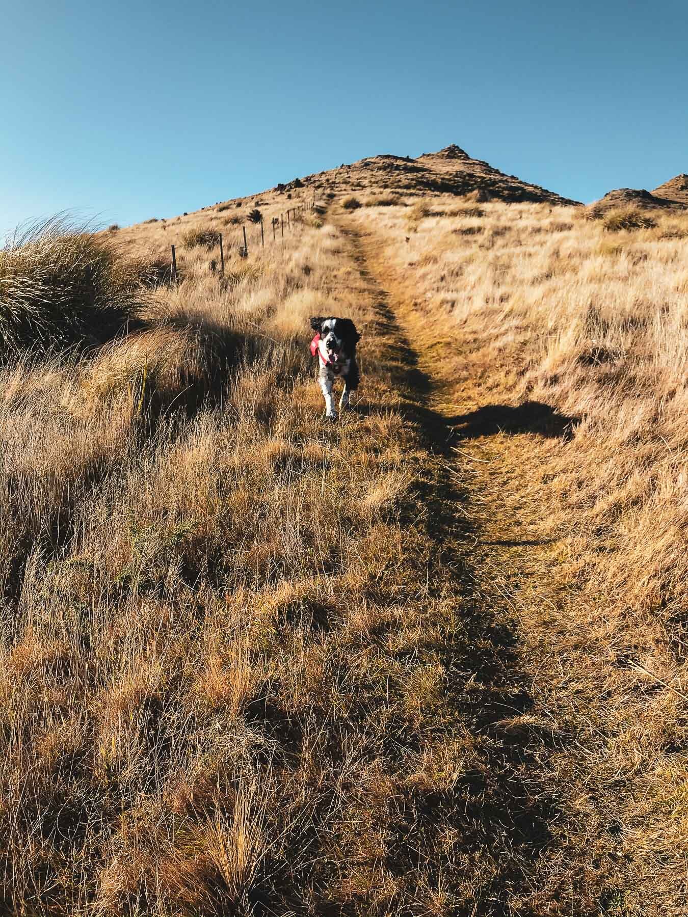
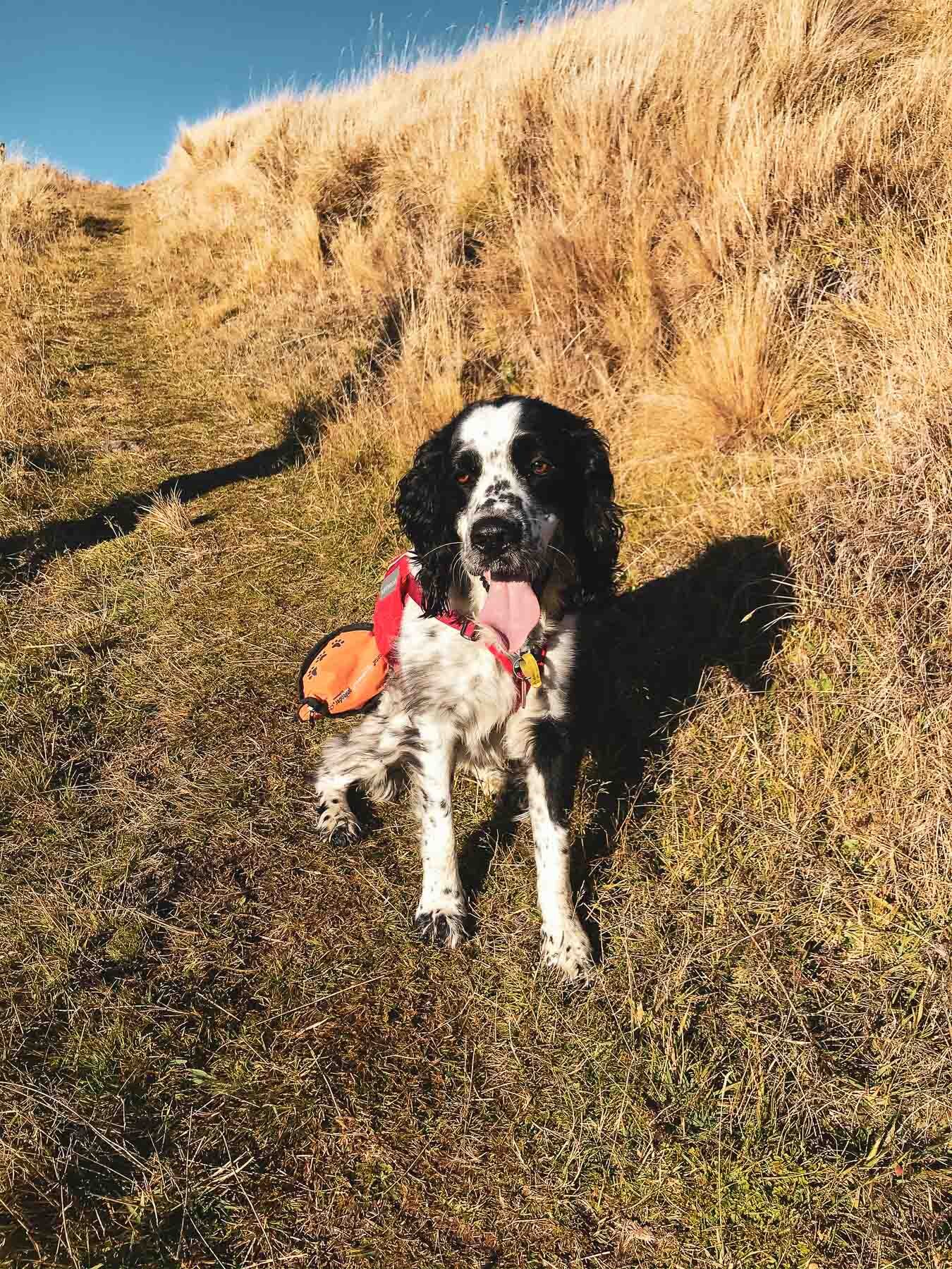
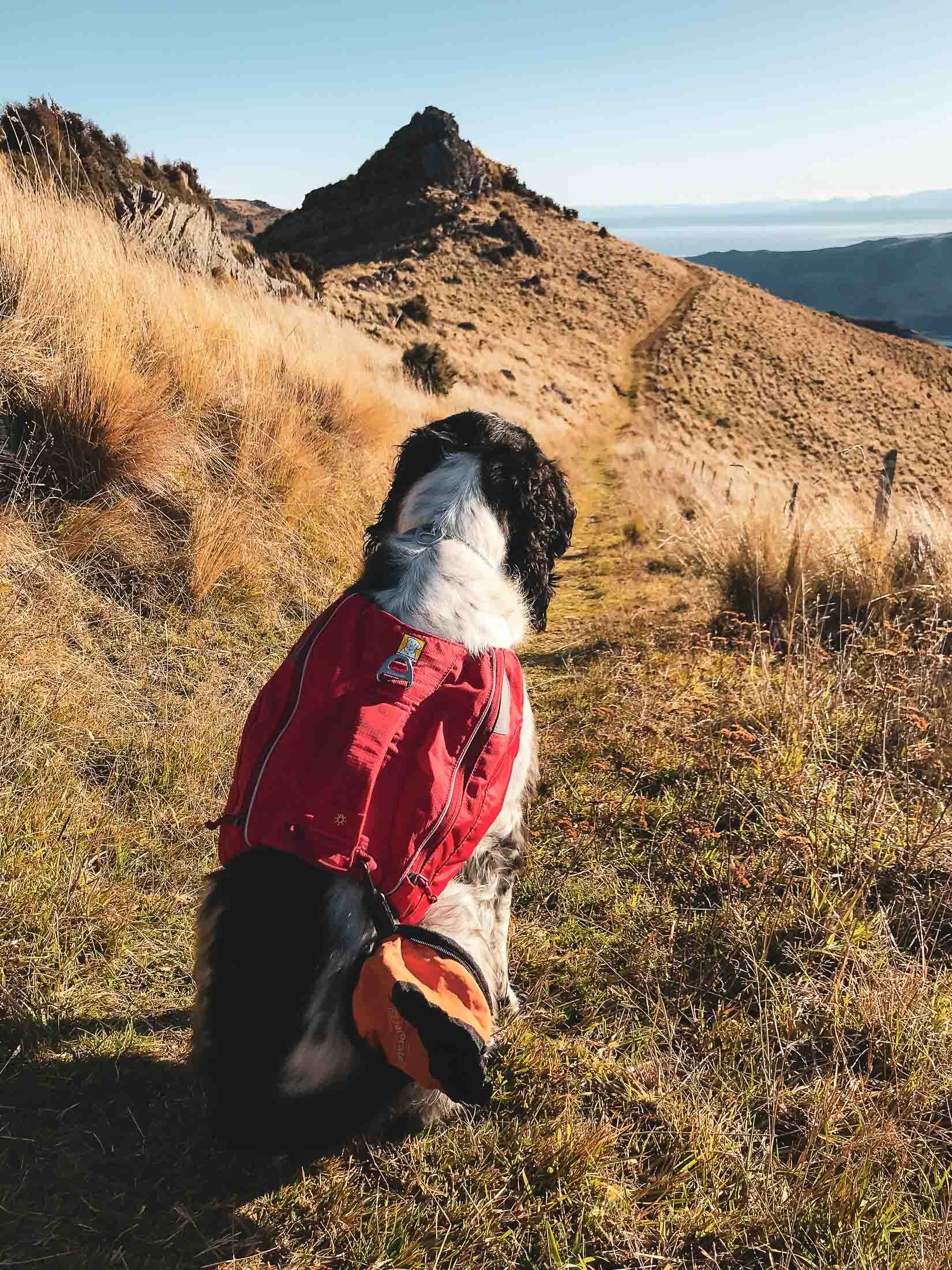
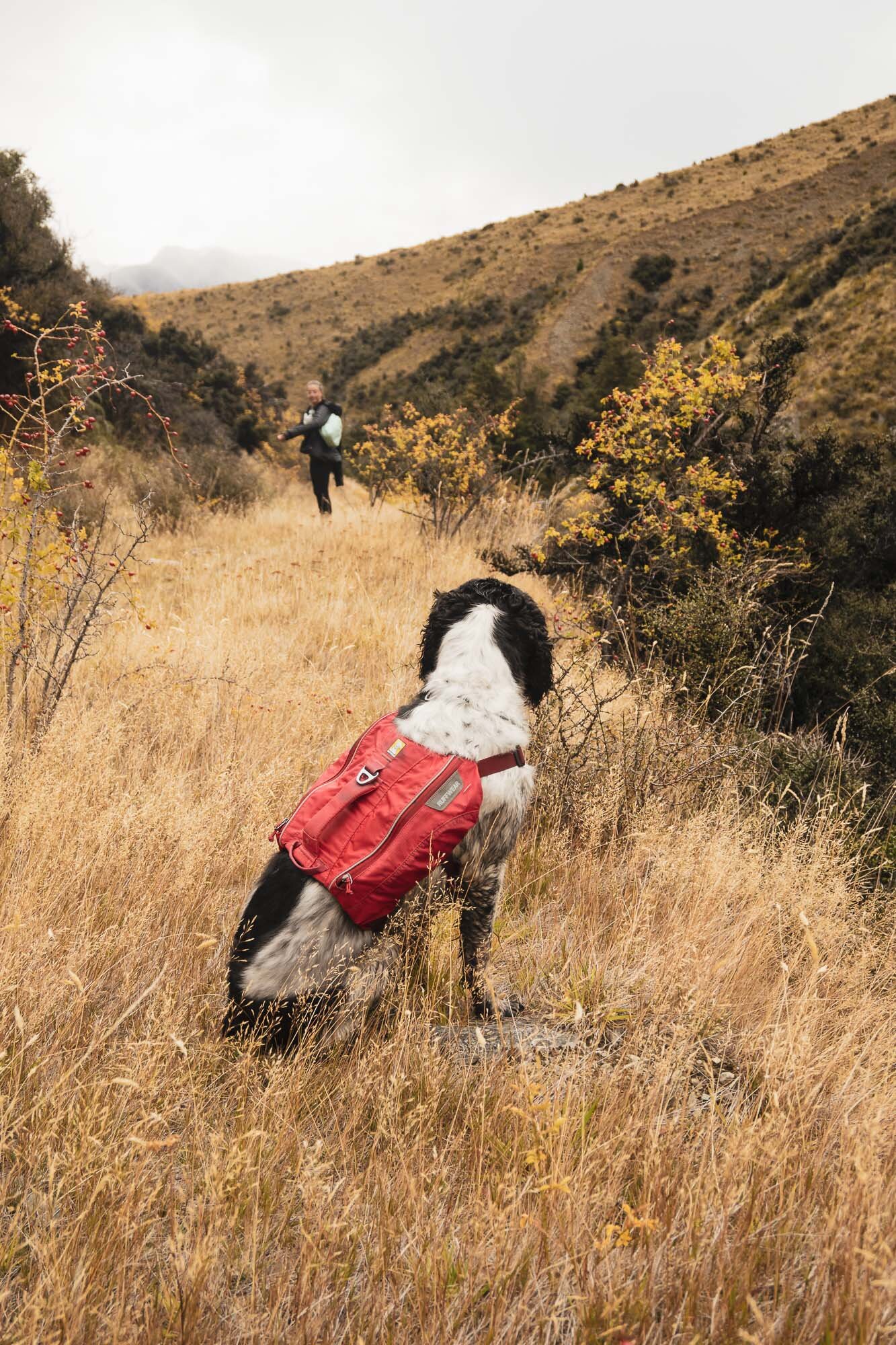
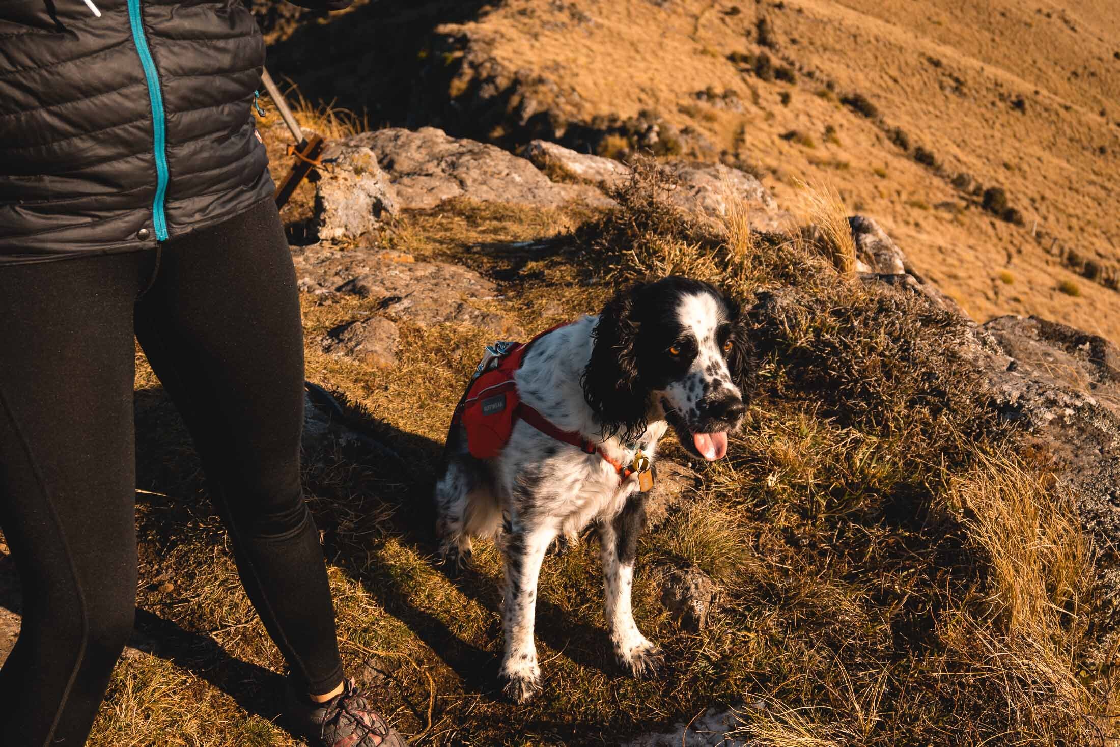
This was Charlie’s first outing with his new Pack, he’s carrying his treats, bags, and water bowl.
Fancy one for your dog? Find them here.

Tiny bit of snow still around the top.

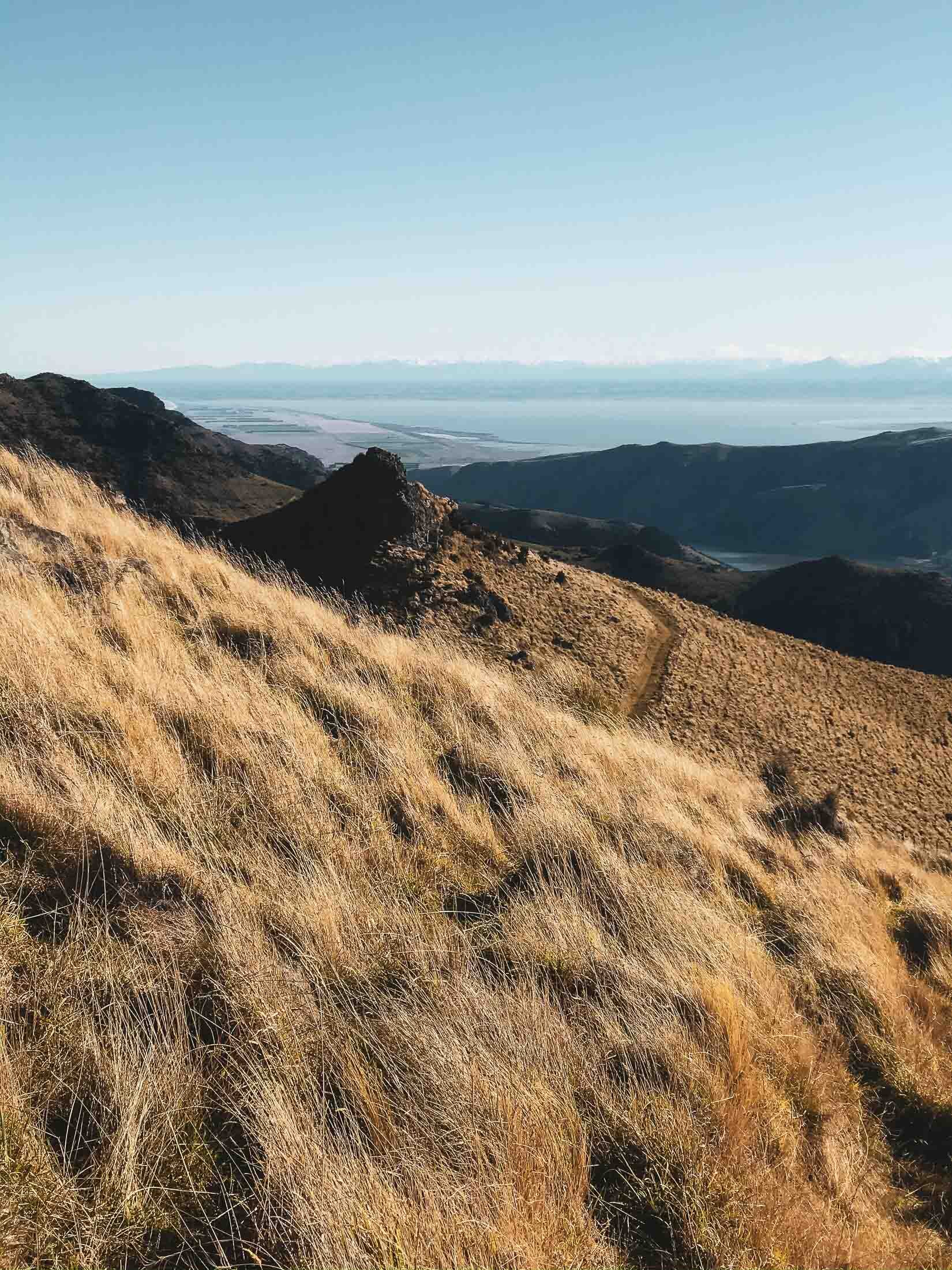
“Proper Camera” time. The views towards the South.

On top of another peak. Dog is well-travelled. Wife came on this one too.
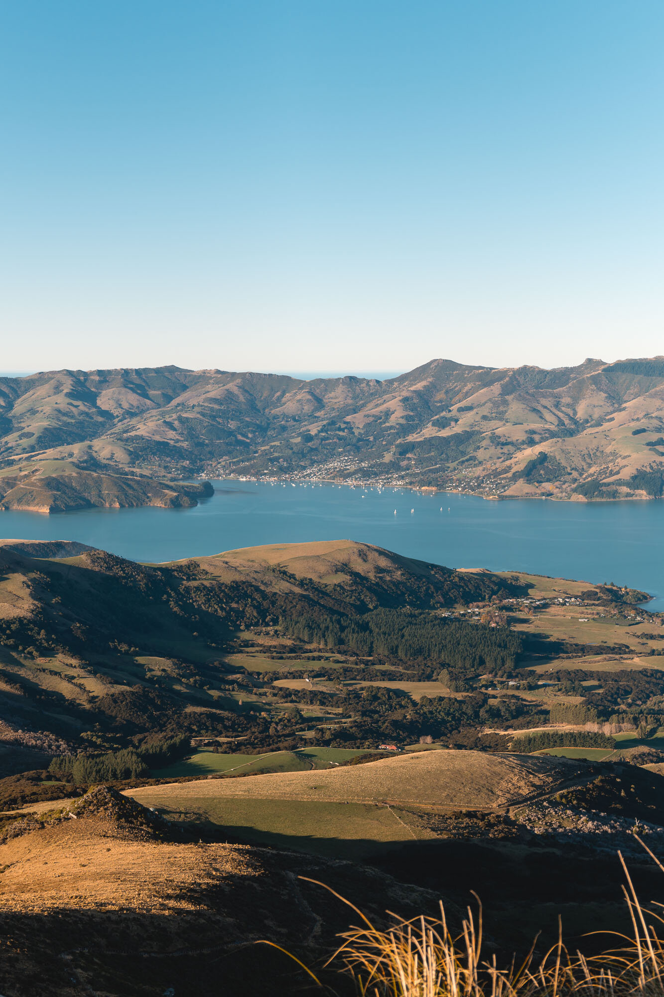
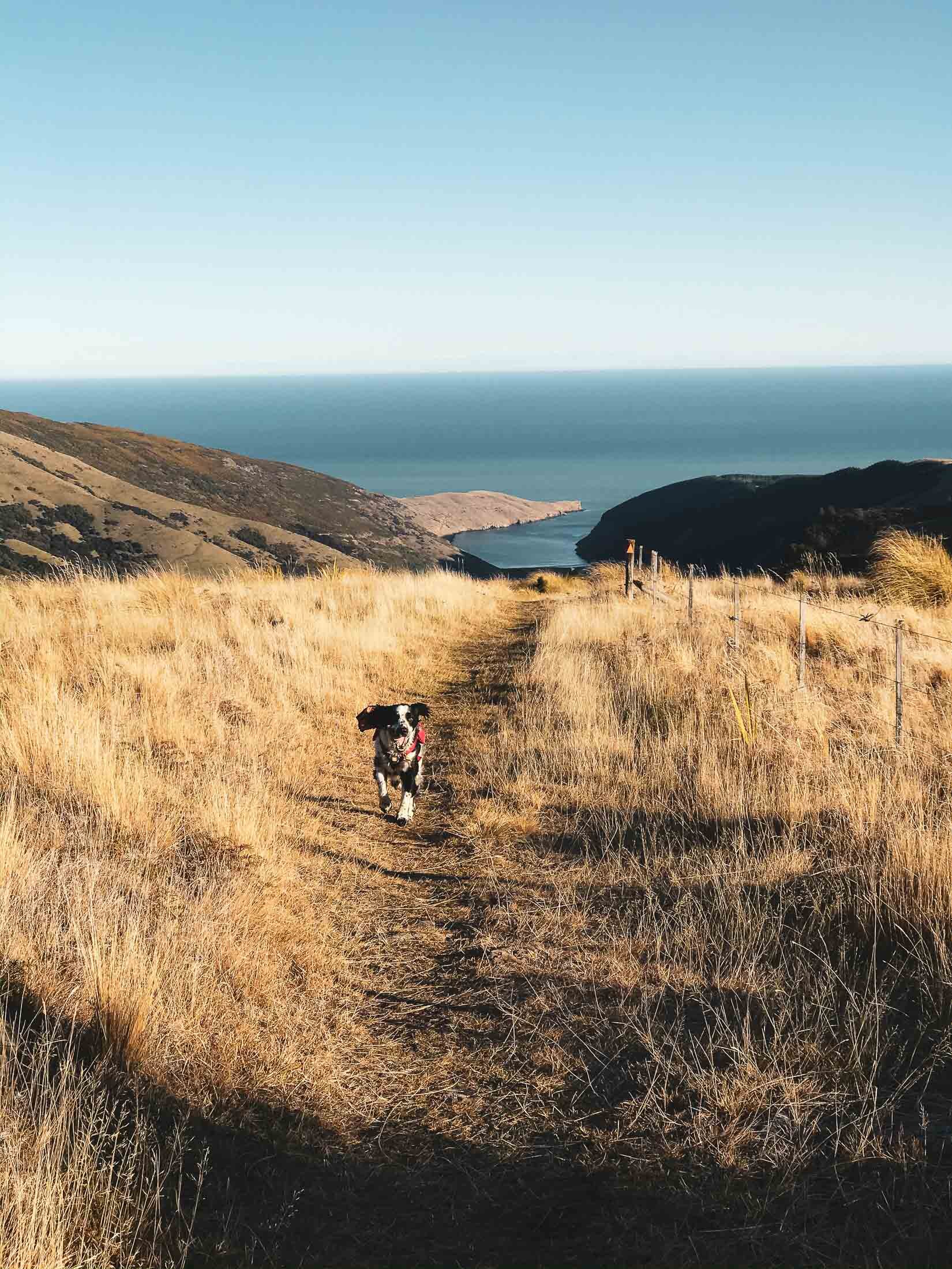
Pano looking over Wainui towards Akaroa and the whole Akaroa Harbour.

Akaroa.

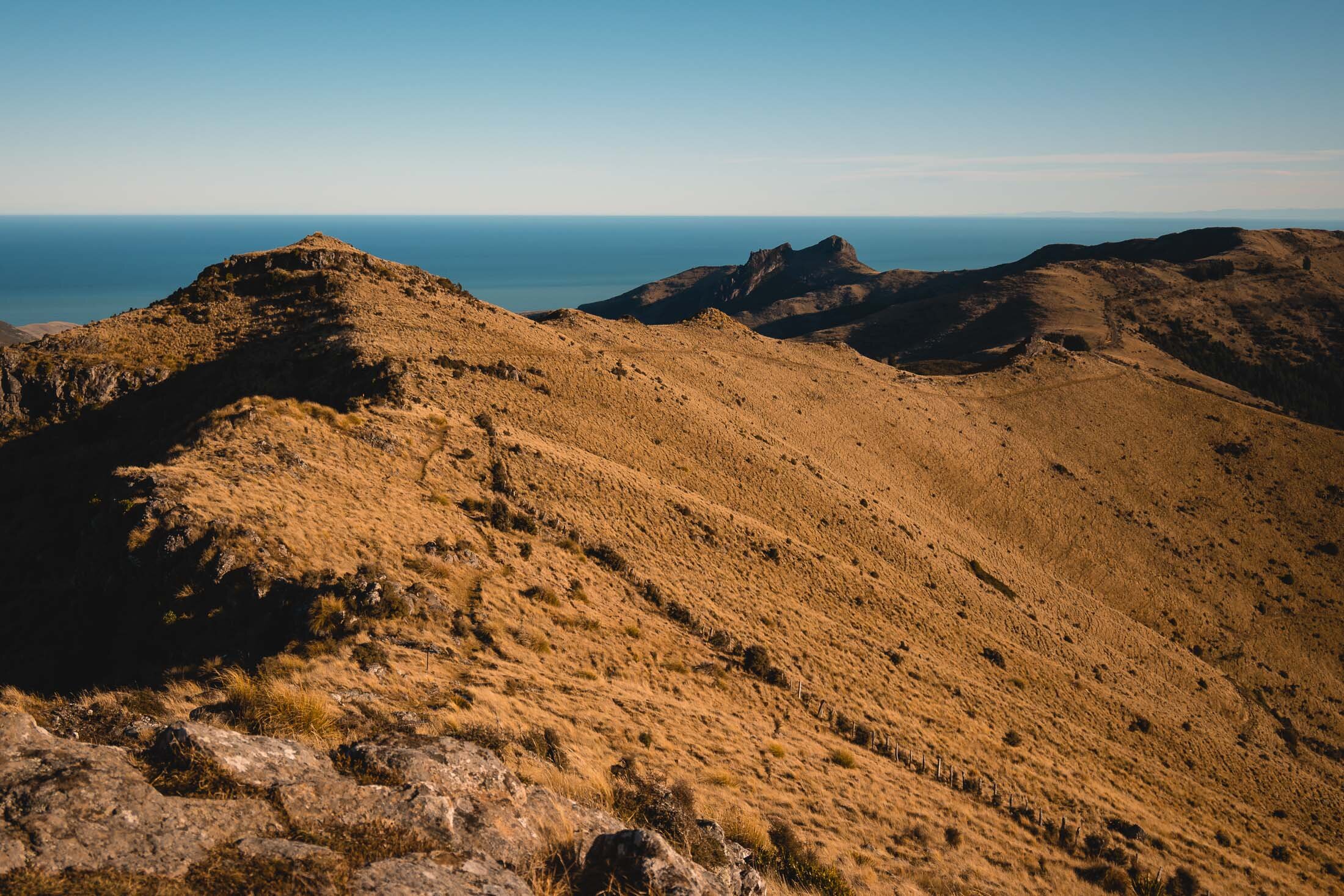

We went a little further along as well, and climbed down to here from the high point (pictured).

But this was as far as we went.

The stile, if you are allowed to go into the private land.
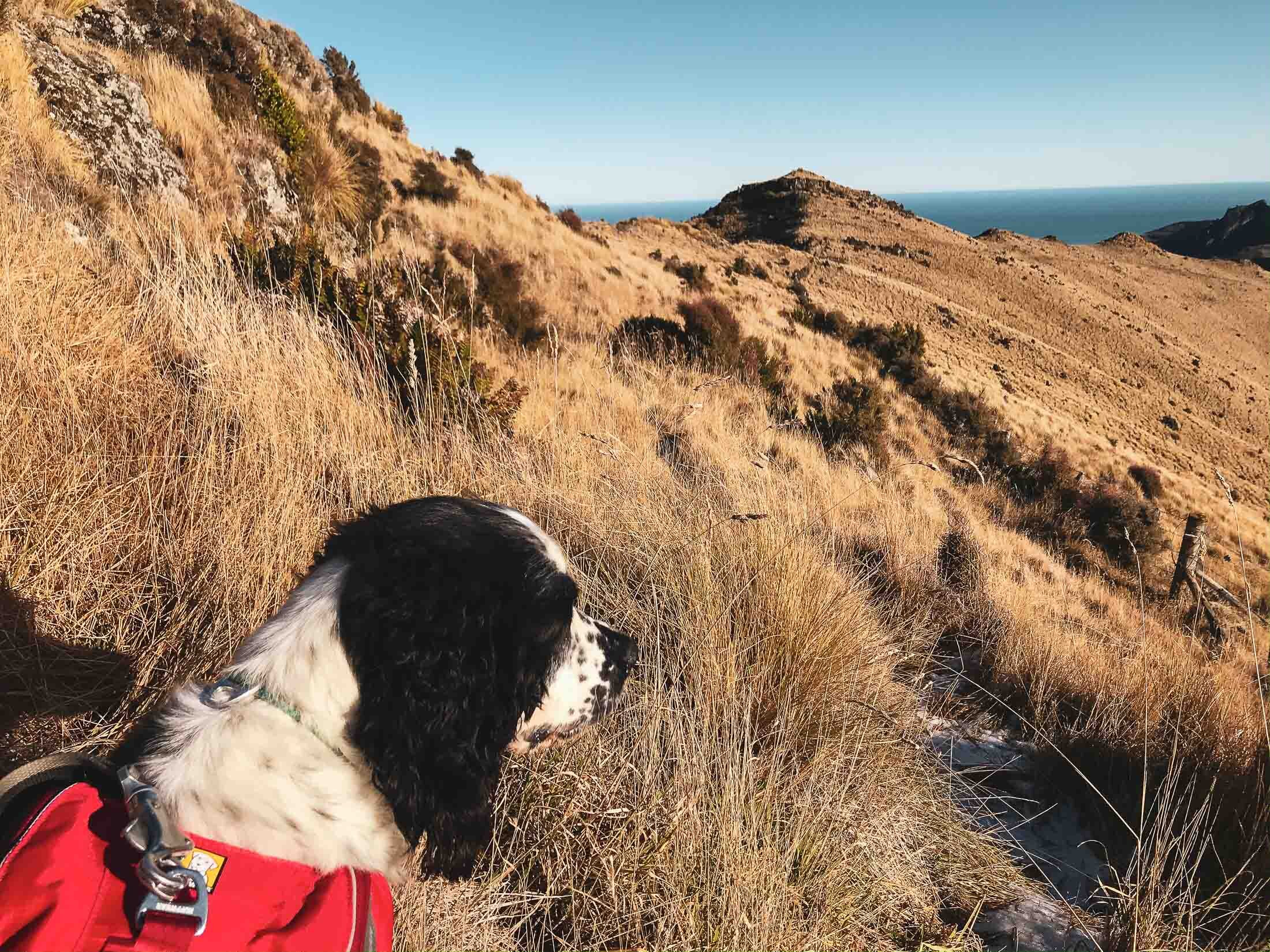
Charlie spots an alternative path down, so we start our descent.
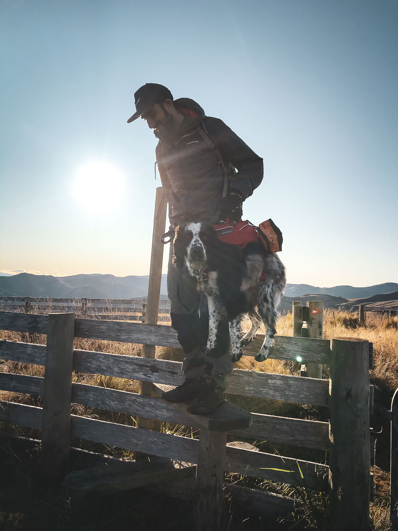
Great thing about the new pack/harness is it’s centrally weighted with three straps, so you can carry the dog over obstacles like stiles, fences and rivers. If lifts him comfortably with his weight distributed evenly so he’s happy.
We got to the bottom of the track, but there are great views if you take the Kinloch Rd ‘scenic way’ back down.
Enjoy.
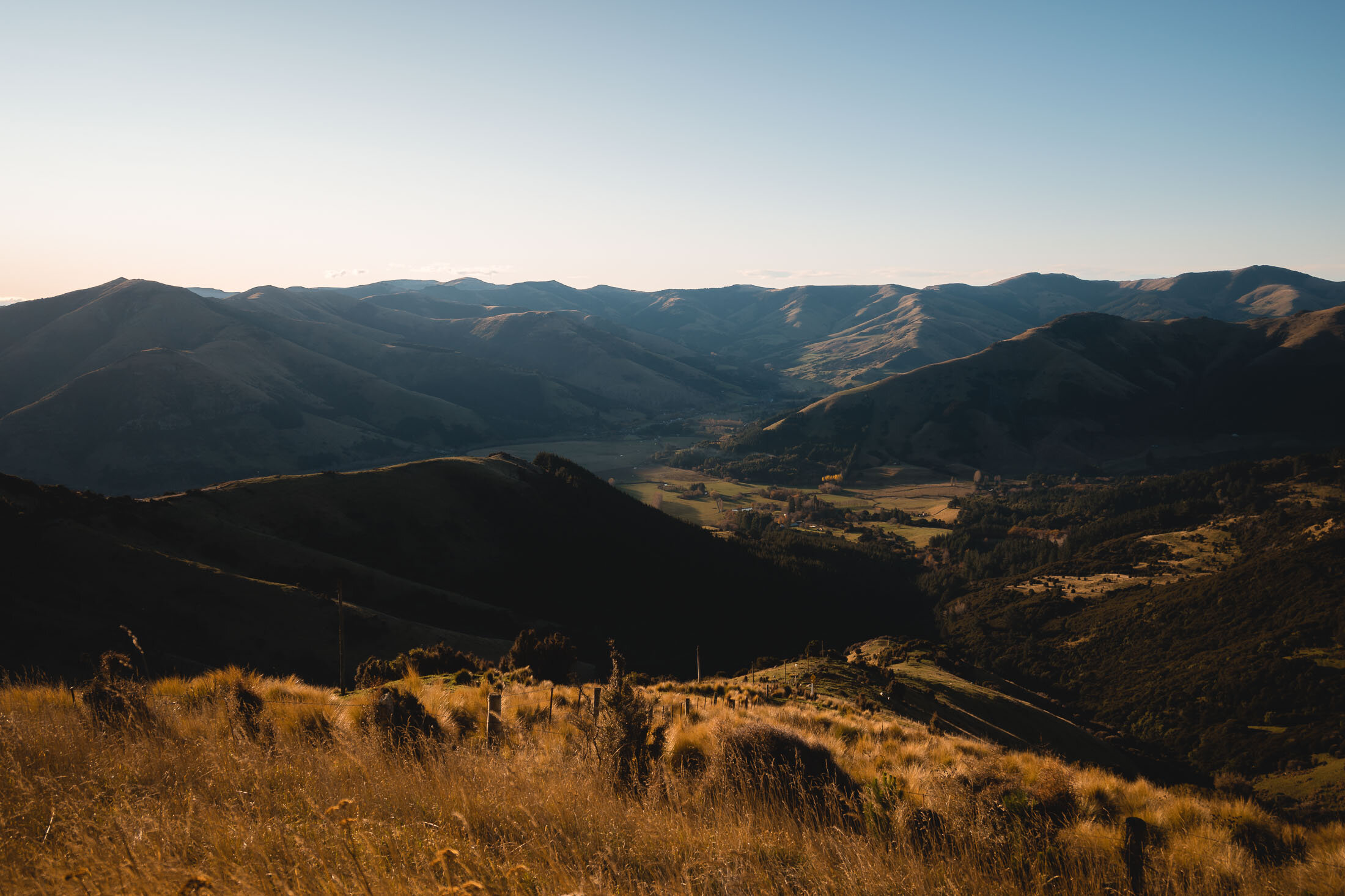
The last light of the day spilling into Little River, as we head to the high point for views to the Alps over Kaitorete Spit.
Bonus spot to explore: Te Oka Reserve. Not dog friendly, so we just looked in from the outside.
Looking over Lake Forsyth from Kinloch Rd.

Bonus pic, Lyttleton Harbour from the drive home. We took another “scenic detour” over the Gebbies Pass route.
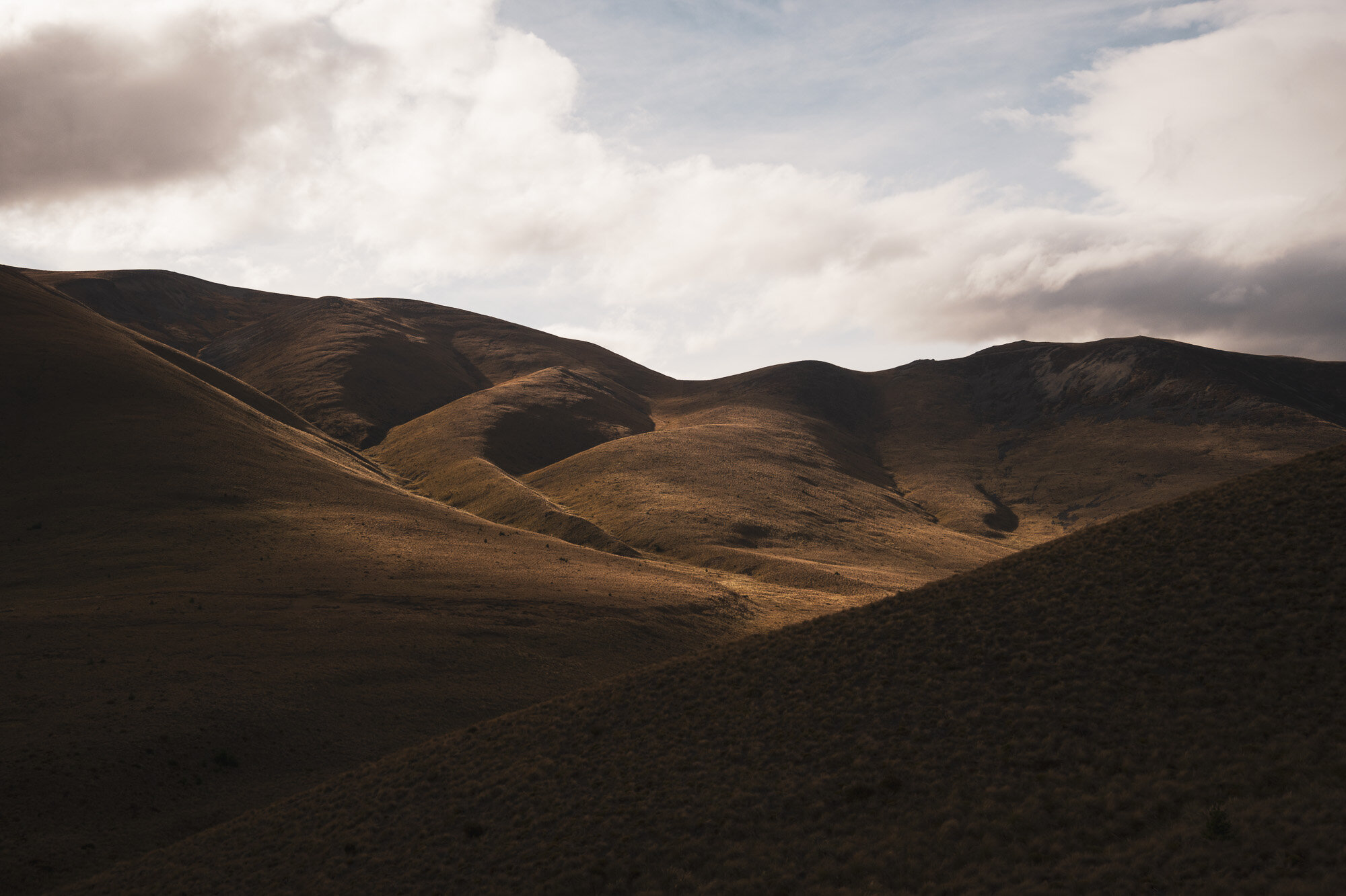
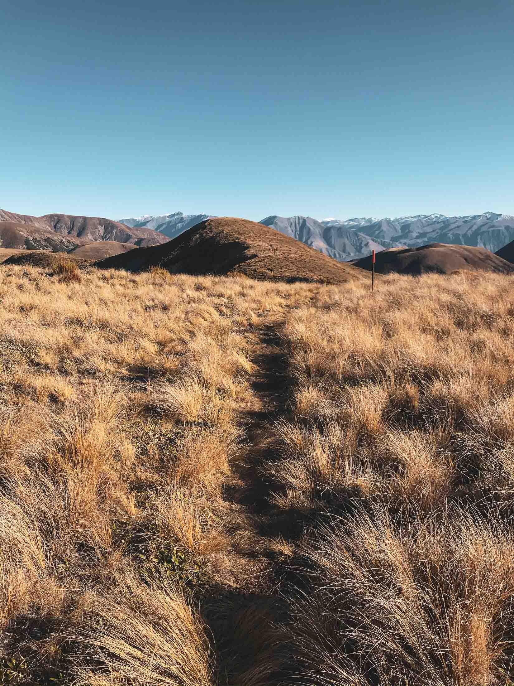
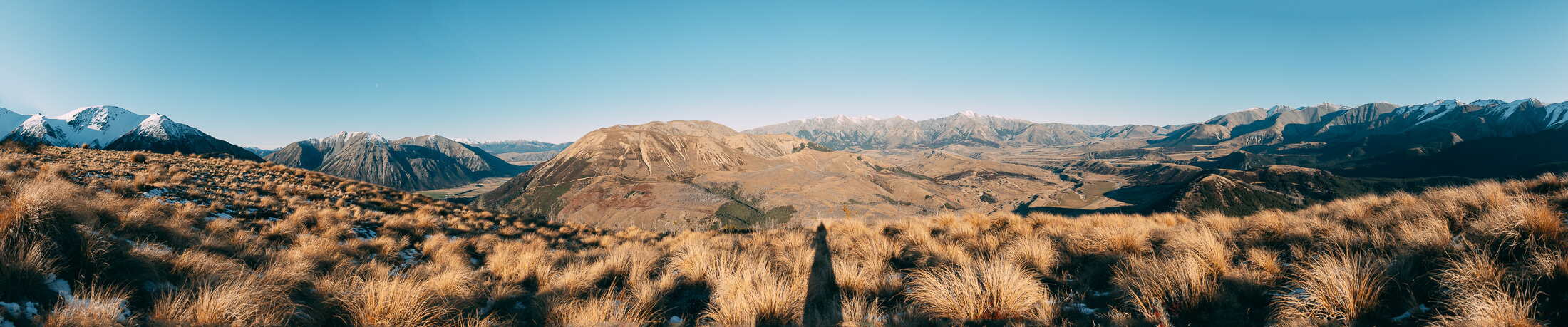
Rabbit Hill, Canterbury, New Zealand
Mid Canterbury
4.5 Hours Return
Easy

RABBIT HILL
Mid Canterbury
Location:
Mid Canterbury
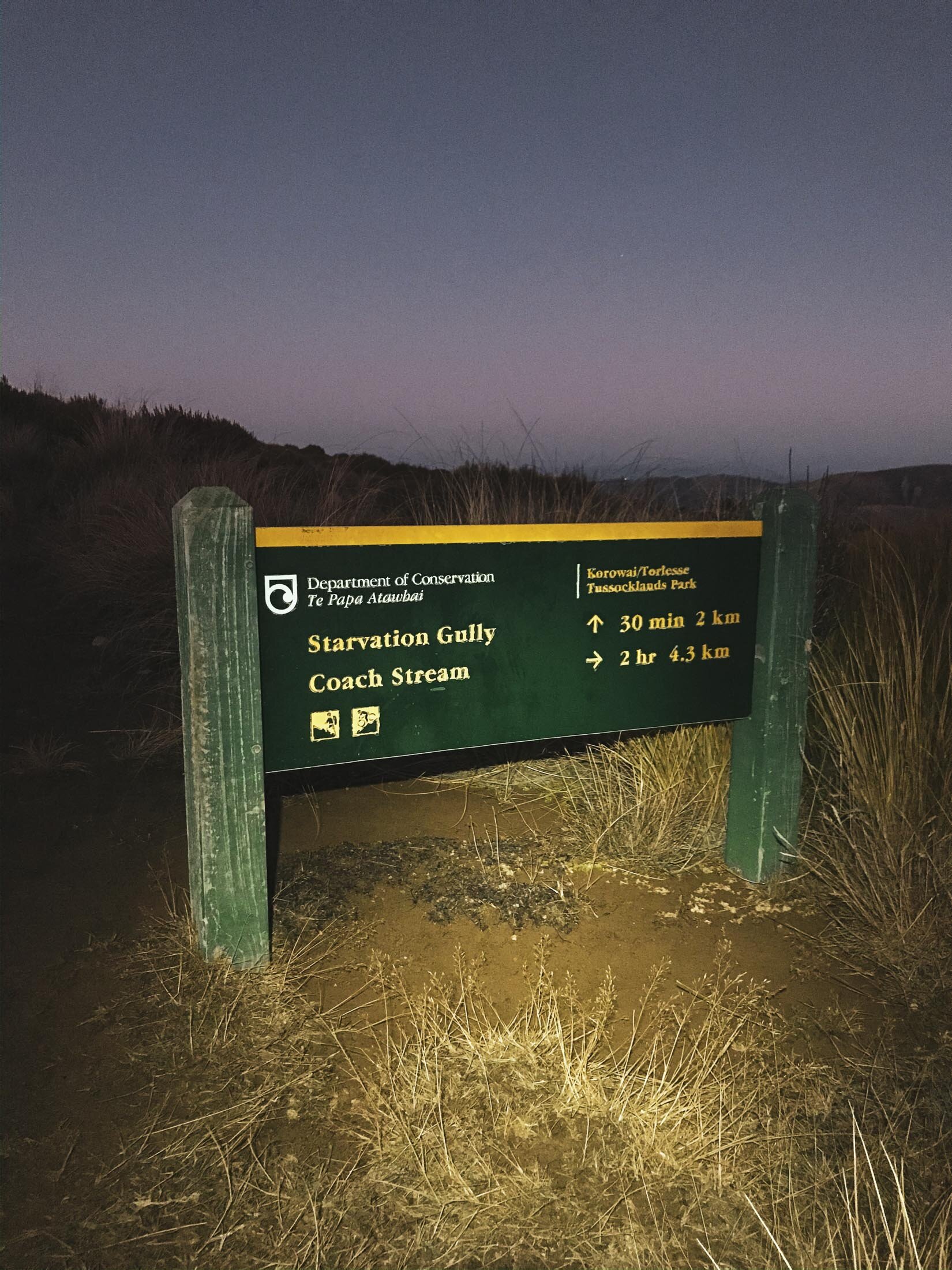
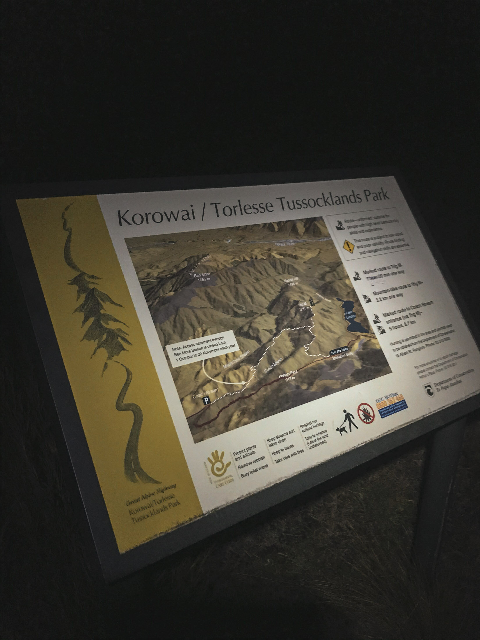
A couple of options here, I chose to come up from the Starvation Gully entrance.
Looking for the beginning of the ‘Trig M’ route. These coordinates will take you to the exact place to park: -43.294531, 171.726652
Time:
4.5 hours return.
2.5h up and 2h down. The track undulates so there are uphills both ways.
Difficulty.
Easy (However no route markers past ‘Trig M’)
Dogs:
Under effective control.
There are two variations available for access to this spot. Starvation Gully from the Lake Lyndon side, or Coach Stream for a longer walk from the Springfield side. I chose the Starvation Gully route for it being more direct.
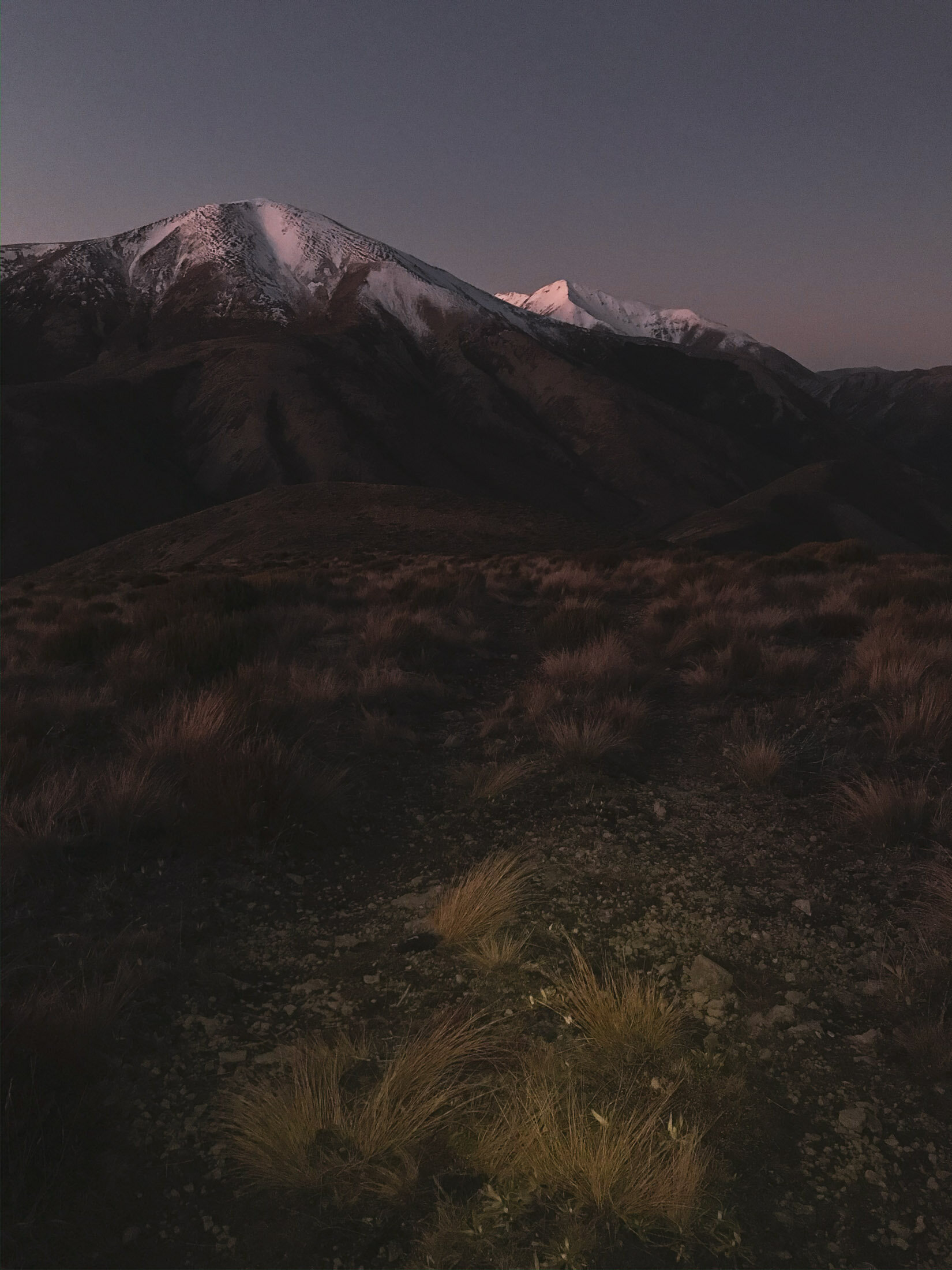
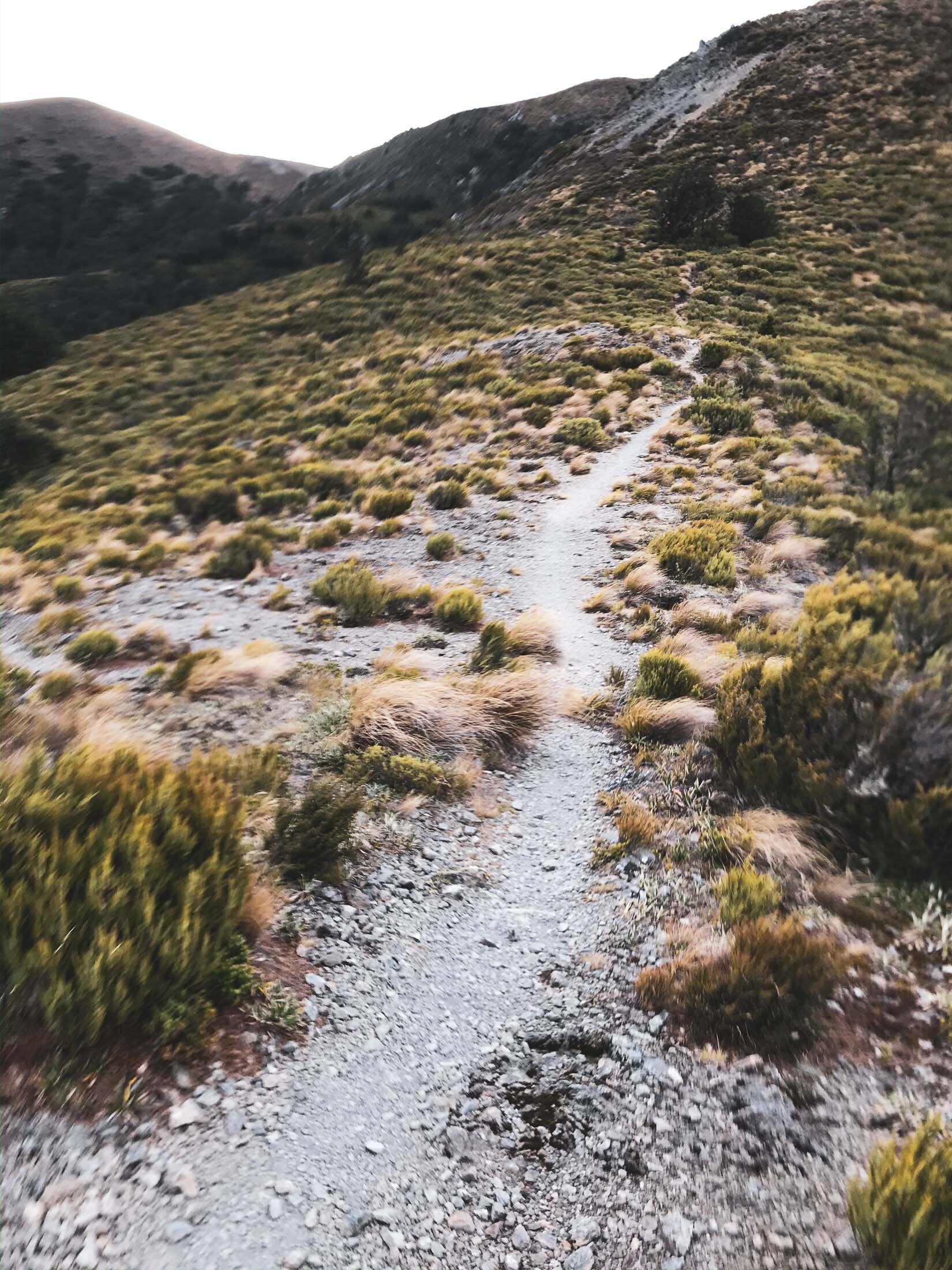
The walk itself is not too hard or steep, mainly shingle and farm track as far as ‘Trig M’ and then you’re choosing your own route after that as you make your way to Rabbit Hill. There are a few pinchy climbs, but nothing too strenuous, especially if it’s dry like it was for us. The ‘Trig M’ peak is actually higher at 1251m than Rabbit Hill at 1198m.
Note: there is a muddy bog in the saddle just before you head to the summit of Rabbit hill, as you will see Charlie really liked this, but you might want to bring a towel or something for the car or tent afterward.
As seems to be a theme at the moment, we hiked up late in the day to stay for sunset and cruised on down in the dark. As soon as that sun drops, it gets really cold.
Enjoy some beautiful scenics from the top.

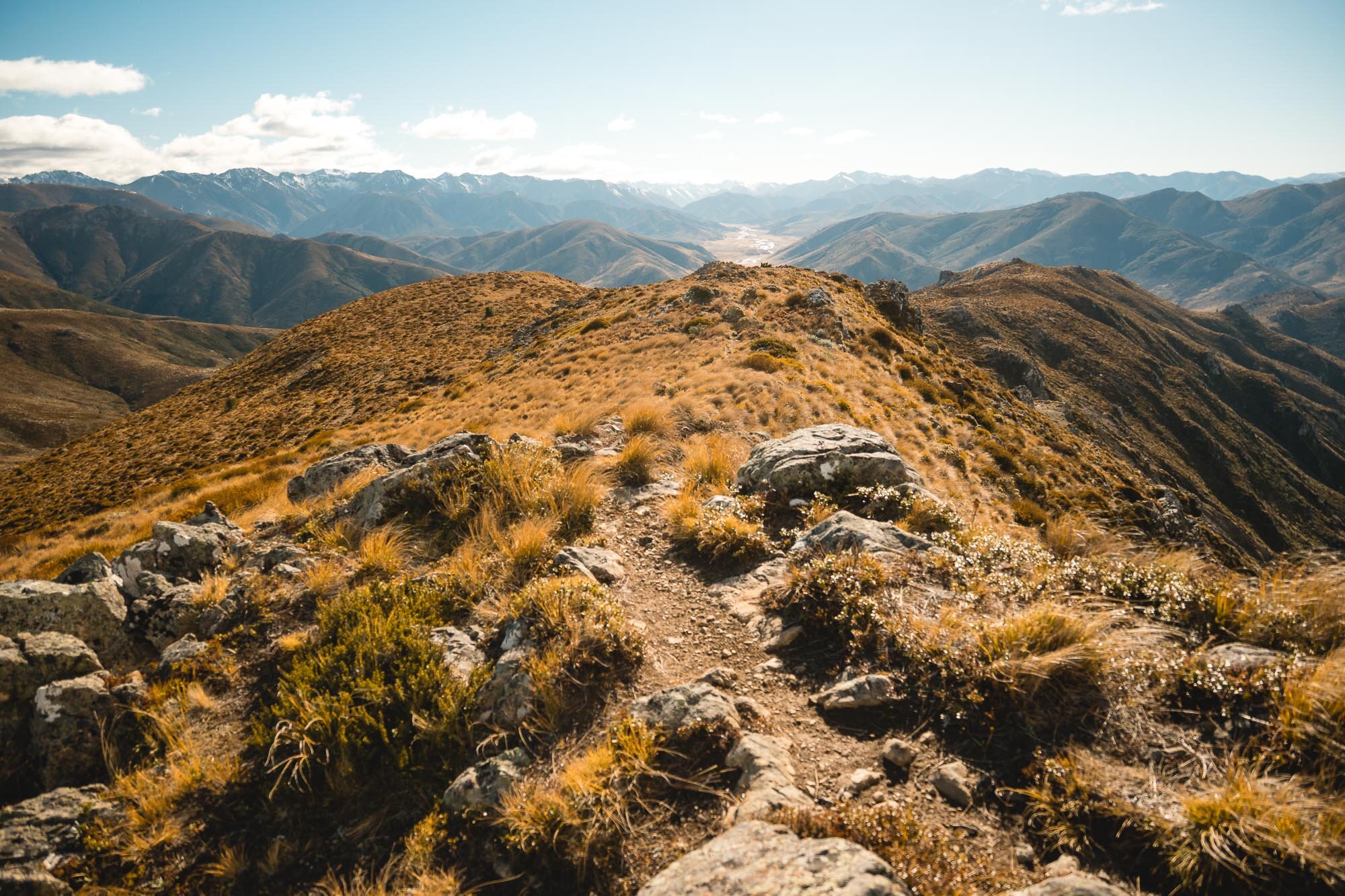
Looking back towards the start of the track, on a beautiful clear day.

A few snaps of the track heading up towards ‘Trig M’. See if you can spot the lone walker. Next up some images from the top as we make our way from the trig towards Rabbit Hill.


As usual, Charlie is having the time of his life running about.
He found the mud. Look at the state of him.

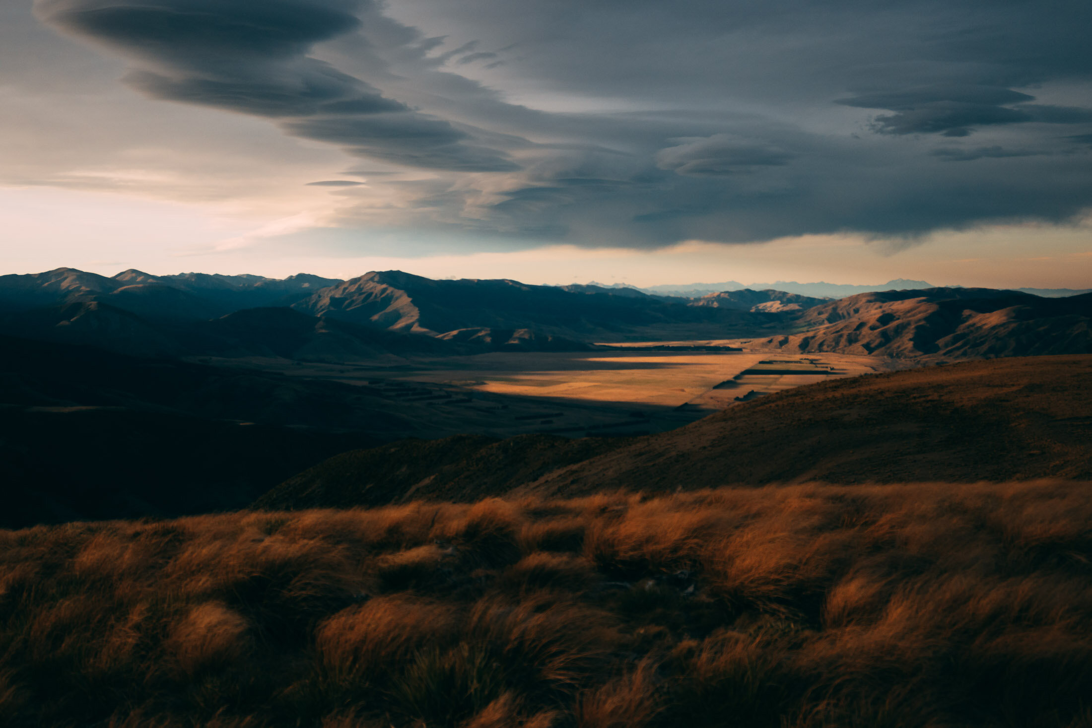
A panorama looking back towards Foggy Peak (the closest snow capped peak).

Looking pretty proud of himself for getting to the top of Rabbit Hill. Next up, some images as the sun set on us heading back towards the trig, from Rabbit Hill.

Panoramic lockout, featuring Charlie, with Rabbit Hill to the left and Trig M out of frame to the right. Next up, beautiful last light and layers after the sunset.

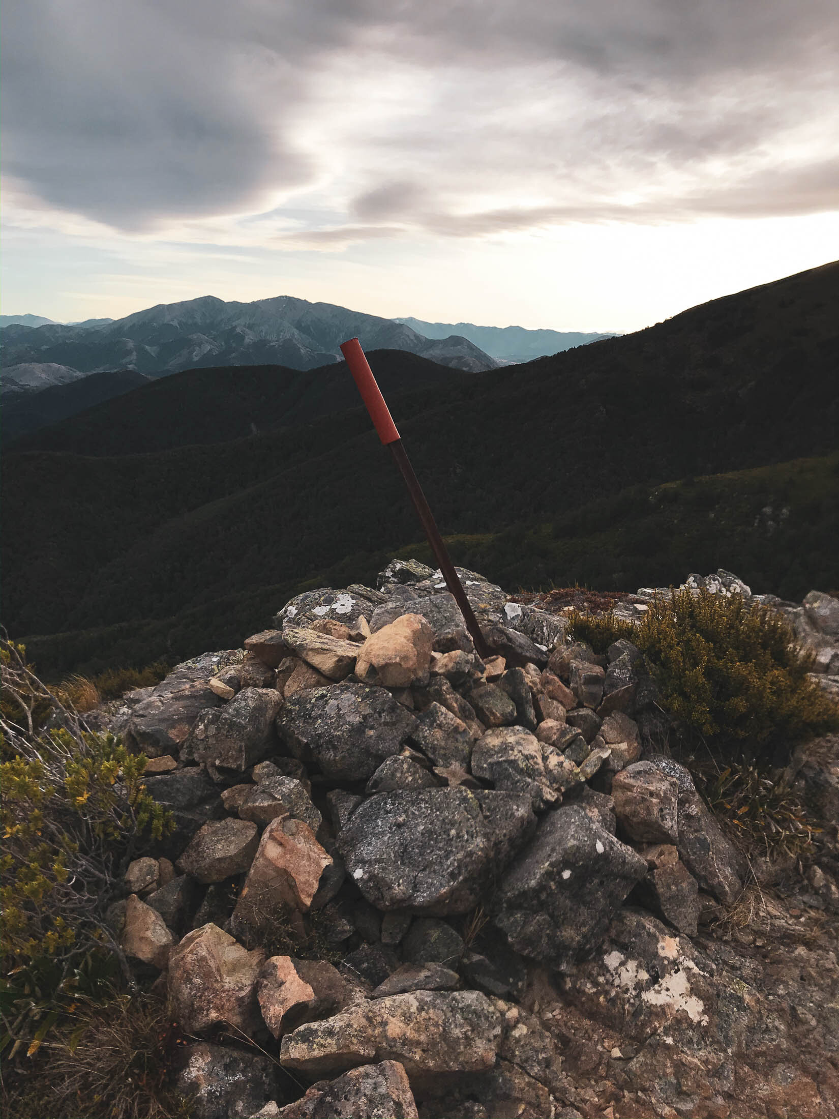
Made it back to the trig, plenty of light still with the glow in the sky. This is the highest point in the route, with a higher elevation than that of Rabbit HIll.
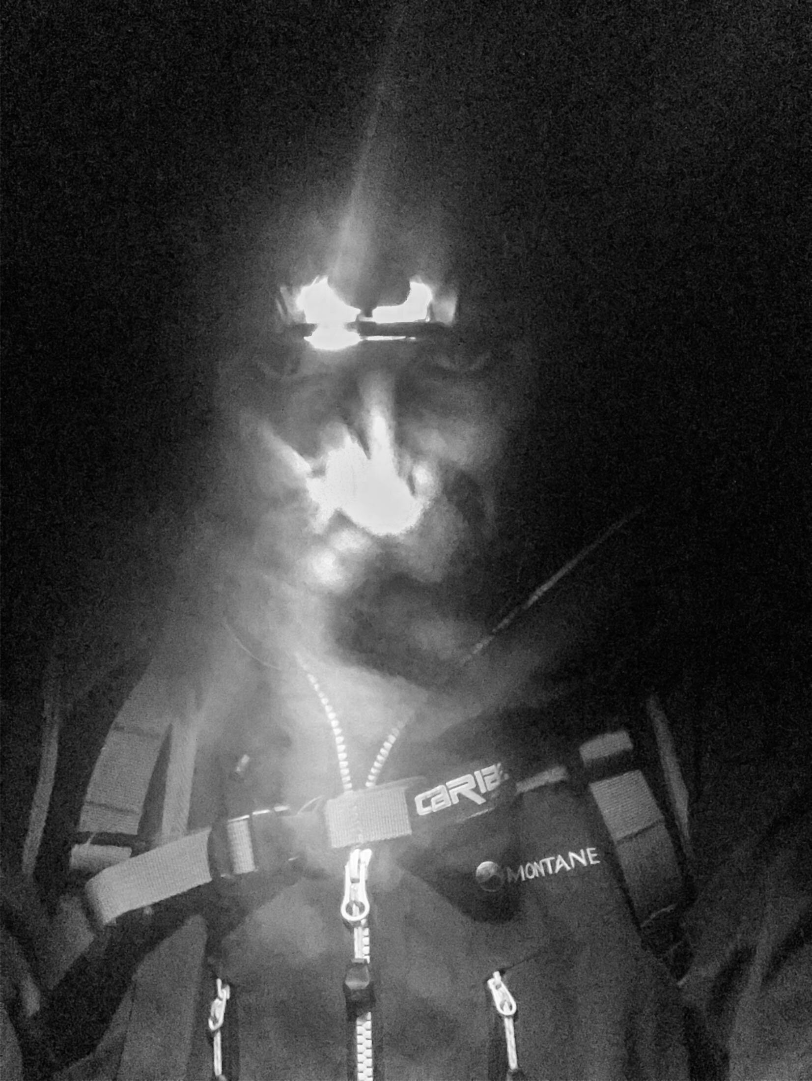
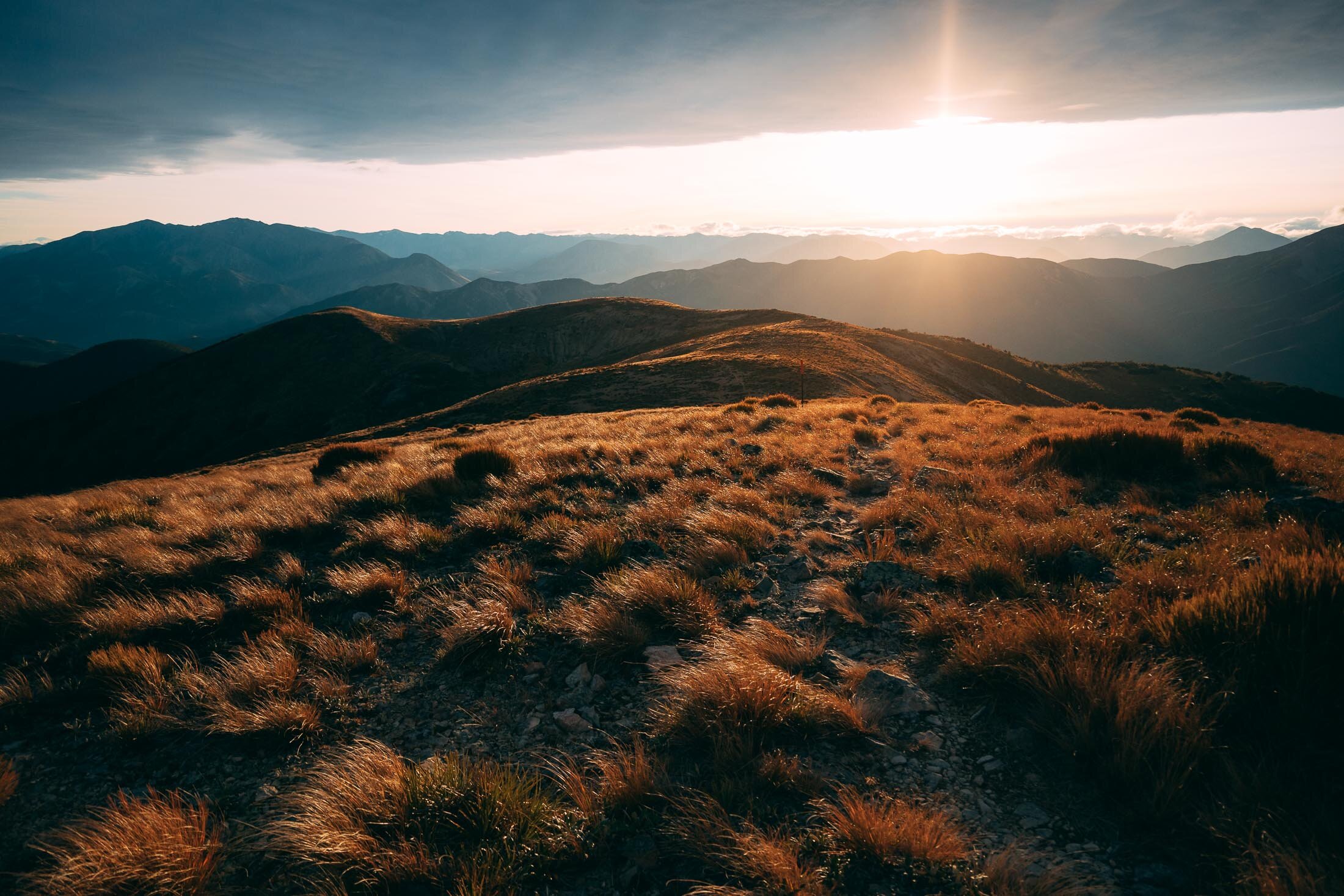
As the light fades, the gloves and hat come out, as do the lights. Here are some shots as we head back down from the trig, to the ute.

It was a beautiful evening for a walk, no wind, clear skies and very few people around. It had dropped below zero however, by the time we got down. Perfect time for a hot drink to warm up for the ride home.
Mt Oxford, Canterbury, New Zealand
North Canterbury
4.5 Hours Return
Hard

MT OXFORD
North Canterbury
Location:
North Canterbury
Plenty of options here, for this one I chose Coopers Creek entry.
Put ‘Mt Oxford Car Park’ into Google and head out towards Oxford and Coopers Creek.
Time:
4.5 hours return.
3h up and 1.5h down. With dog and mad winds.
Difficulty.
Hard
Dogs:
On-leash only.
There are plenty of variations available for access to this spot. View Hill or Coopers Creek being the main two.
The Coopers Creek to summit and back is the most direct, but it’s also pretty steep, and a bit gnarly.
I chose Coopers Creek as I was going to be coming back down in the dark, so wanted the most direct route possible.
It’s a great track, starting off with a creek crossing, then through private land (dogs on leash ONLY) before getting into the beech forest, up through some steep and rocky terrain, until you get above the tree line.
Note for anyone attempting this, it can get really windy. Especially a Nor’wester. Which it was on this day, and boy, was it windy!
The wind was so strong at times it blew me over, and Charlie was barking at it as it blew his ears around.
Once you get to the top though, it’s a great view across the plains to Banks Peninsula and North or West into the mountains.
Now enjoy some phone snaps on the hike, with some proper pictures at the top:

Charlie having a breather at the top. 1364m.


Trail starts off pretty chill, then gets progressively steeper as you go.

Lovely light into the foot hills as seen from the top.

Made it to the summit, didn’t get blown away - now to check out some of the views on hand.

Winter layers and ribbons of light.

Pink hue over Banks Peninsula, off in the distance.

Walking down as the light starts to fade, a nice winding trail.

Norwest Arch makes for a dramatic sunset.


It’s getting pretty dark, I hike with a head torch for me and for Charlie.
Helps if you’re not scared of the dark. Getting across the creek crossing below in the dark was an adventure.


Finished off back at the ute with a hot drink and a bikkie. Job done.
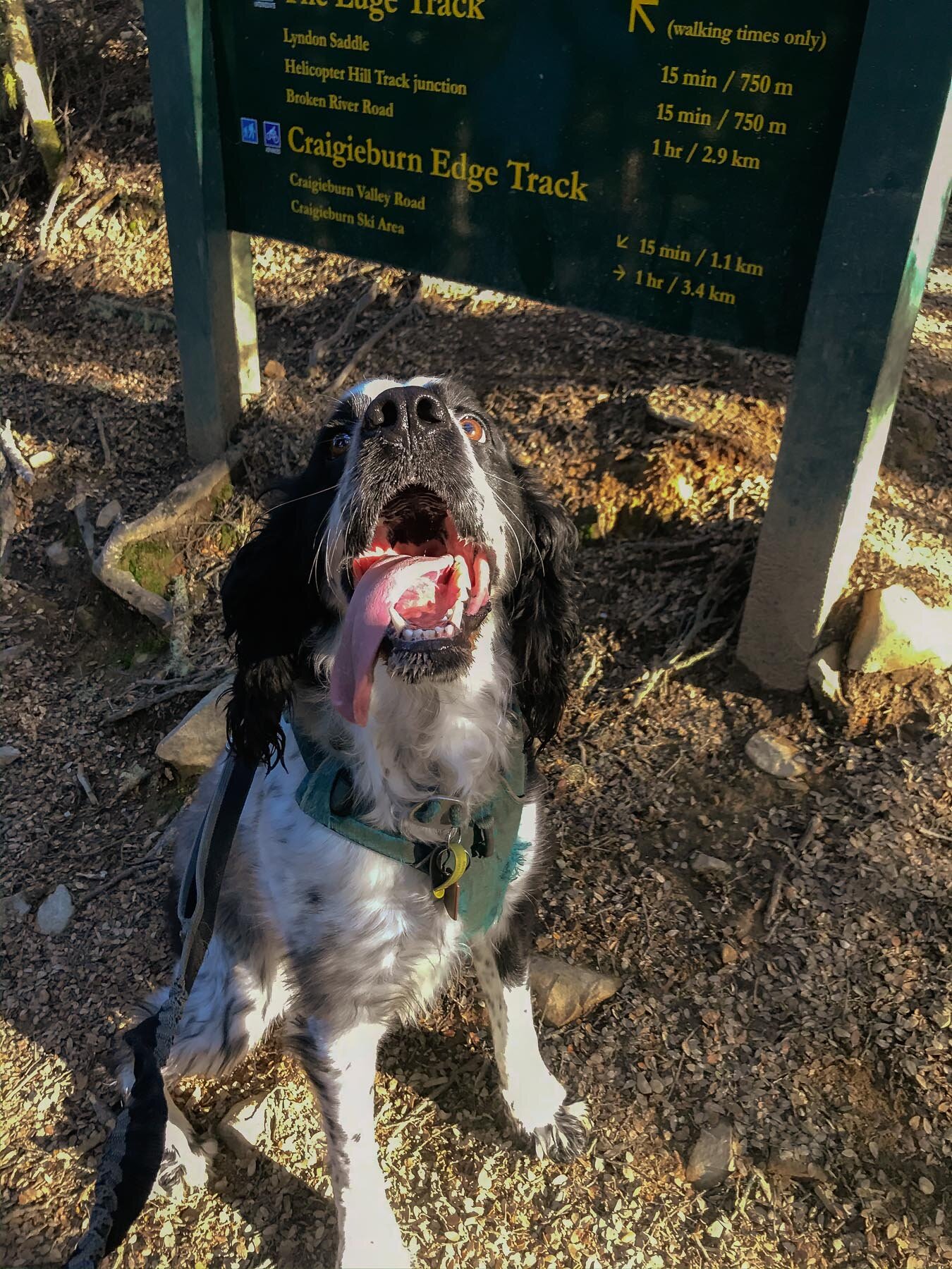
Helicopter Hill, Canterbury, New Zealand
Mid Canterbury
2.15 Hours Return
Easy

HELICOPTER HILL
Mid Canterbury
Location:
Mid Canterbury.
Find ‘Craigieburn Forest Park’ on Google Maps, drive there, about 90min from Christchurch.
You can also access these trails from the Broken River side, but I prefer this spot.
Time:
2.15 hours return.
1.5 hours up, 45min down.
Difficulty.
Easy
Dogs:
On-leash only.
Great easy walk, lots of Beech forest and great views without too much stress.
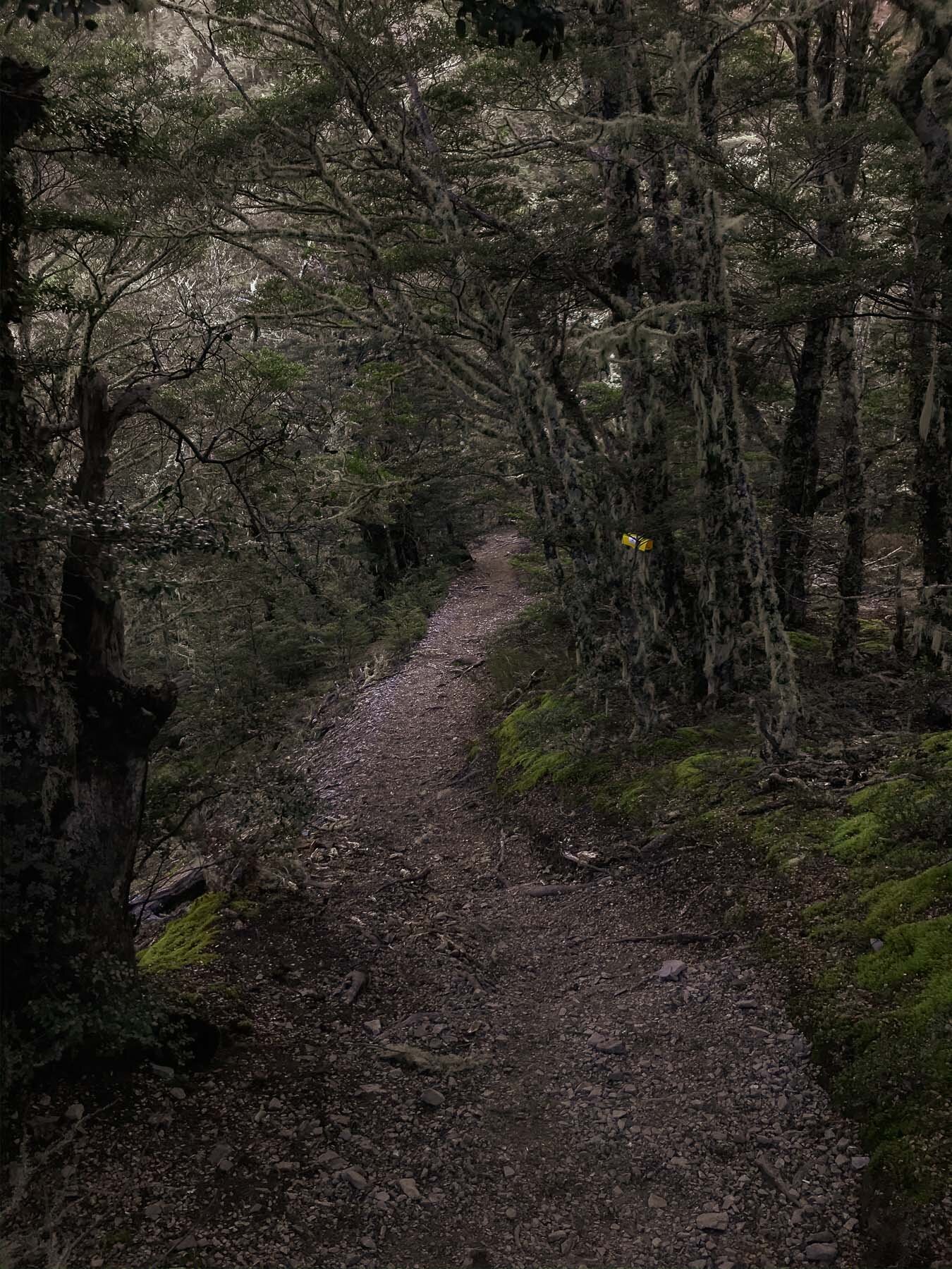
I wanted to turn this into a loop, to make it a bit more of a trip, so parked at the exit to ‘Sidle 73’ on the Craigieburn Valley side. Started by walking up the Craigieburn Access Road, to the start of the ‘Lyndon Saddle’ track, walked up to the saddle, note that this is a dual use track, just something to keep in mind. Once you get to the saddle it’s a short push up to the top (no bikes allowed past the saddle though).
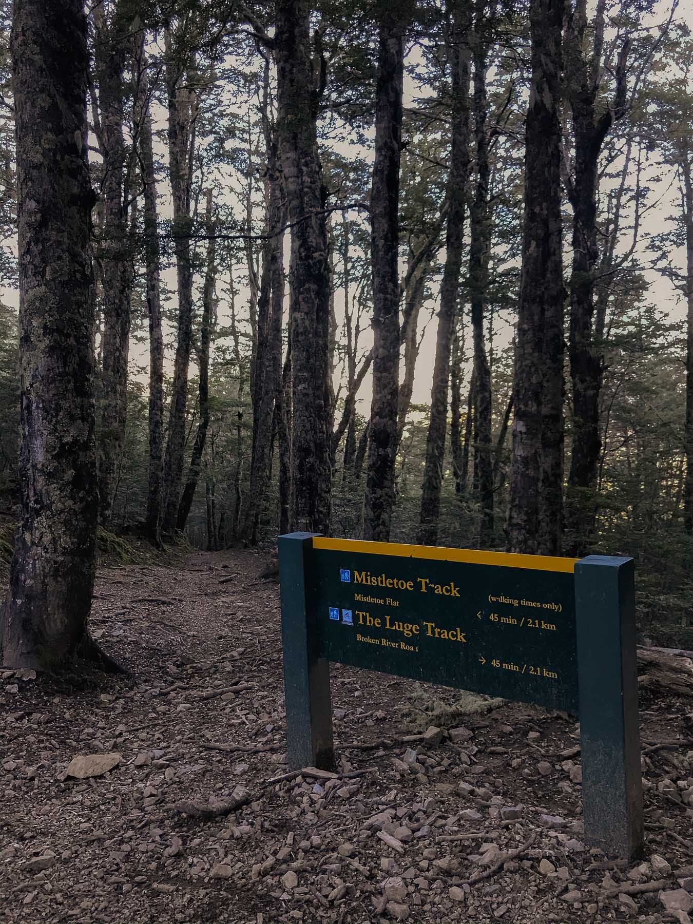
On the way down, we took the ‘Mistletoe’ Track, (another no-bikes track) down to the Broken River Campsite, where we hooked on to Sidle 73 back to the vehicle, for a nice hot chocolate.
No reception for cell in most of this area, ski area in winter, popular MTB destination in summer.
Multiple other trails for walking in this area


Plenty of spots for the dog to have a drink.


Lots of Beech forest on the way up and down, then it opens up towards the top of the Lyndon Saddle Track.


Nearly at the top.

“Proper Camera” snaps time. Moonrise.

Proud to be on top of yet another peak.

Panorama facing Craigieburn, Cheeseman, Broken River.
Pano in the opposite direction.

On the way down again now, and into the dark side of the mountain.

Plenty of lovely Beech forest.


Lush and green towards the bottom. The walk out onto Sidle 73 was frosty by the time we got there.

Warm up with a hot drink, and then head home.
Mt Vernon, Canterbury, New Zealand
Port HIlls
3 Hours Return
Easy

MT VERNON
Port Hills
Location:
Port Hills.
I like the quieter ‘Dry Bush Track’ so this is how I get up there.
Head to Huntsbury Ave, and park opposite Vista Place. There’s a tiny reserve there and that’s where the trail starts.
Time:
3 hours return.
1.45 hours up, 1.15 hours down.
Difficulty.
Easy (mainly)
Dogs:
On-leash only.
I was looking for a less well-used trail close to home that would be a bit quieter. Found this one, it’s kind of a combination of tracks, but works out to be a good little route, if you’re a bit pressed on time but still want an adventure.
Once you’re parked, head down the Huntsbury Reserve Track, take your first right onto the Connector track, until you reach the Gorge Track, head up that. It’s really green and leafy and beautiful here, you’ll forget how close to civilisation you are. Climb your way up to the Dry Bush Track from here.
Once you reach the shelter you can either continue up the valley, it gets a lot harder to find the trail here, or join up to the Farm Track. Which I did on the way up. Once you get to the Lamar Car Park at the top, you can cross the summit road and find the highest point.
On the way down I took the Dry Bush Track, or what I thought that was, until the Shelter and then went up the Western Face on a connector called the ‘Waterfall Track’ which was pretty steep but takes you out to the top of Huntsbury, and you can follow the road back to where your car is parked.
Remember to check your dog’s paws for grass seeds.

Last view of the city before heading into the good stuff.


Mt Vernon Farm Track.

Christchurch City from the top.

Foggy Peak, Canterbury, New Zealand
Mid Canterbury
2.45 Hours Return
Hard

FOGGY PEAK
Mid Canterbury
Location:
Mid Canterbury.
Throw this into Google Maps “7532 West Coast Road, Springfield”.
This will take you to the top of Porters Pass where there’s a great parking area, and also right at the base of the track. You just duck under the fence and away you go.
Time:
2.45 hours return.
2 hours up, 45 min down. (I was basically running down though)
Difficulty.
Hard
Dogs:
Under effective control.
This is a steep one, right from the start. Not a marked trail sometimes, so just look for cairns and markers and you’ll be right. Proper hiking. Coming down was super hard on the legs, as I chose to get down fast (had a dinner to be at) so did some scree running.
I’ve done it both in summer and winter. Much slower, harder, and less visible in winter with the snow. Would recommend using poles if you have them.

The trail isn’t always obvious in places.


What a handsome mountain dog.


Prayer flags at the top. Great views in all directions.


Sunset above the inversion layer - very grey underneath…


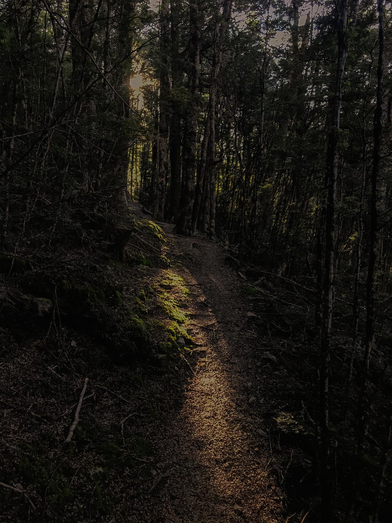
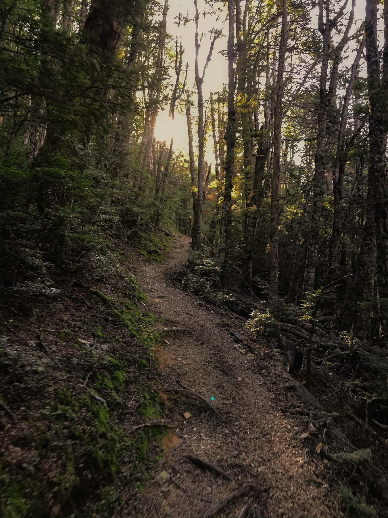
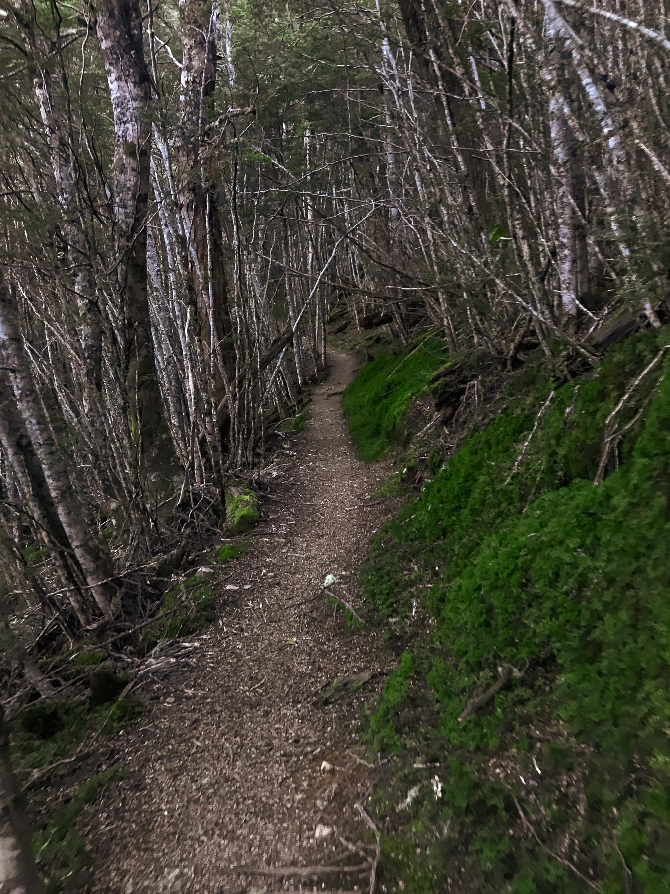
Craigieburn Forest Park, Canterbury, New Zealand
Mid Canterbury
3.5 Hours Return
Easy

CRAIGIEBURN
Mid Canterbury
Location:
Mid Canterbury.
Find ‘Craigieburn Forest Park’ on Google Maps, drive there, about 90min from Christchurch - don’t forget to stop for a pie in Sheffield on your way. Park at the bottom carpark by the gate on the Craigieburn Access Rd. You can also access from the Broken River side, but I prefer this spot.
Time:
3.5 hours return.
2.5 hours up, 1.5 hours down.
Difficulty.
Easy (mainly)
Dogs:
On-leash only.
Chose to walk up the road, as it is closed (off season) which was an easy climb. Once we got to the top we chose the ‘Edge track’ - watch out for Mountain Bikers though, this is a pretty popular trail. We also stopped at the Camp Saddle and walked up the scree to the tops, for a bit of extra gnar and some great views.
No reception for cell in most of this area, ski area in winter, popular MTB destination in summer.
Multiple other trails for walking in this area

Find a nice shady spot to park the vehicle, keep it cool.


Plenty of streams and waterfalls for drinking out of.


Some good stuff up high. Chose to put Charlies boots on him, to protect his paws from the scree.


Mountain top selfie.

Awesome scenic walk down, before dropping into the beeches.
Mt Barrosa, Canterbury, New Zealand
South Canterbury
4 Hours Return
Hard

MOUNT BAROSSA
South Canterbury
Location:
South Canterbury.
Copy and paste this into your Google Maps and it will take you right to the parking spot on Ashburton Gorge Road: -43.641948, 171.210149
Time:
4 hours return.
3 hours up, 1 hour down.
Difficulty.
Hard.
Steep and exposed. Quick Elevation gain thanks to the steepness. The day we went up was super windy (which Charlie didn’t like as it made his ears flap around) it made life a little difficult.
The track is a hiking trail which has multiple line choices, you just follow the marker posts.
The trail is definitely a hike, not a walk. Once up to about 2/3 it becomes sparse with a lot of rocks, but a great view out over South Canterbury and the braided Ashburton River.
Wear hiking boots, bring a jacket.


Charlie is ready to go!


Follow these on the way up.


Spot the car in the car park.

Windy Ears


Lovely Light and Shadow

You can kind of see the track…


Amazing view.

Sunset is coming.

Beautiful Light.
Charlie checking out the view.


Coopers Knob, Canterbury, New Zealand
Port Hills
30 minutes return
Easy

COOPERS KNOB
Port Hills
Location:
Port Hills.
Find 'Coopers Knob' in Google Maps. You can park by the Gibraltar Rock/Omihi Bush car park and go straight up, or extend your walk and follow the crater rim around from any other point. We chose the entrance that crosses the Summit Rd, as the road passes to the Lyttleton side of the hill.
Time:
30 minutes return.
15 minutes up, 15 minutes down.
Difficulty.
Easy.
This is a nice easy one for when you just want to get outside. You can make it harder by extending the walk, but you can park super close. Coopers Knob is the highest point on the Port Hills, so you're guaranteed a great view in all directions.
The only tricky bit might be climbing the rock to the very top if you want to do that. It's not essential, but why else go there?

Great Spot For a Sunset


Who's a very good boy?

Nicola checking out the view.

This dog is NOT afraid of heights!

Neither am I really.

Made it to the top!

Highest point on the Port Hills.

Beautiful views.
